Hungary · Terrestrial
Kőszeg Protected Landscape Area
Protected landscape area of 4,371 hectares in Hungary, established in 1980.
Overview
Protected landscape area of 4,371 hectares in Hungary, established in 1980.
Kőszeg Protected Landscape Area is located in Hungary (Europe). It is a predominantly terrestrial area. Established in 1980, it covers about 4,371 hectares.
Protections and designations
Natura 2000 · habitats (SAC) · 2 sites
- Gyöngyös-patak és a kőszegi Alsó-rét HUON20020
- Kőszegi-hegység HUON20002
Designated as a protected landscape area. International labels and designations: Natura 2000 network (2 sites). Key dates: established in 1980 and first Natura 2000 site under the Habitats Directive in 2010.
In our collections
Timeline
-
1980
Established
-
2010
First Natura 2000 site under the Habitats Directive 2 such sites designated up to 2010
Sources: Wikidata (CC0) for establishment and international labels; EEA Natura 2000 database (CC-BY 4.0) for site designation dates.
Frequently asked questions
Where is Kőszeg Protected Landscape Area?
In Hungary (Europe). Representative point: 47.3712° N, 16.4764° E.
How large is Kőszeg Protected Landscape Area?
About 4,371 hectares (44 km²).
When was Kőszeg Protected Landscape Area established?
In 1980.
What habitats and landscapes does Kőszeg Protected Landscape Area include?
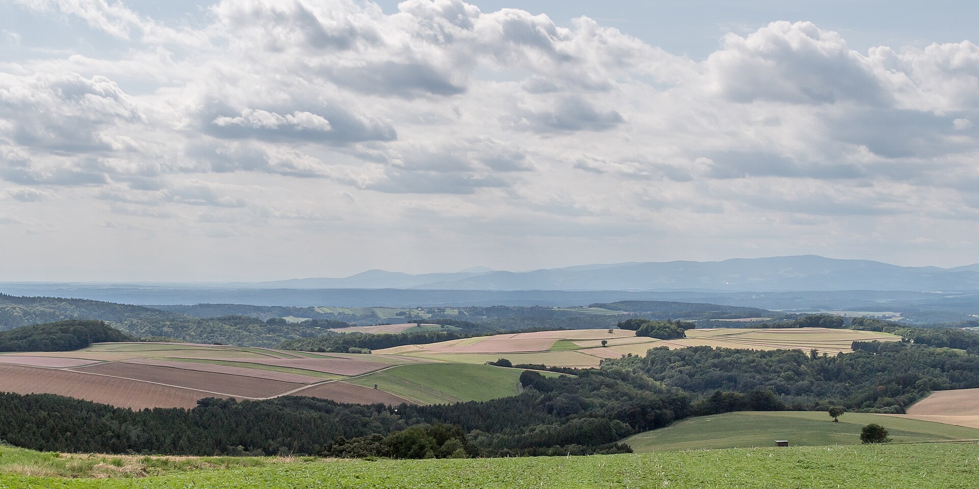
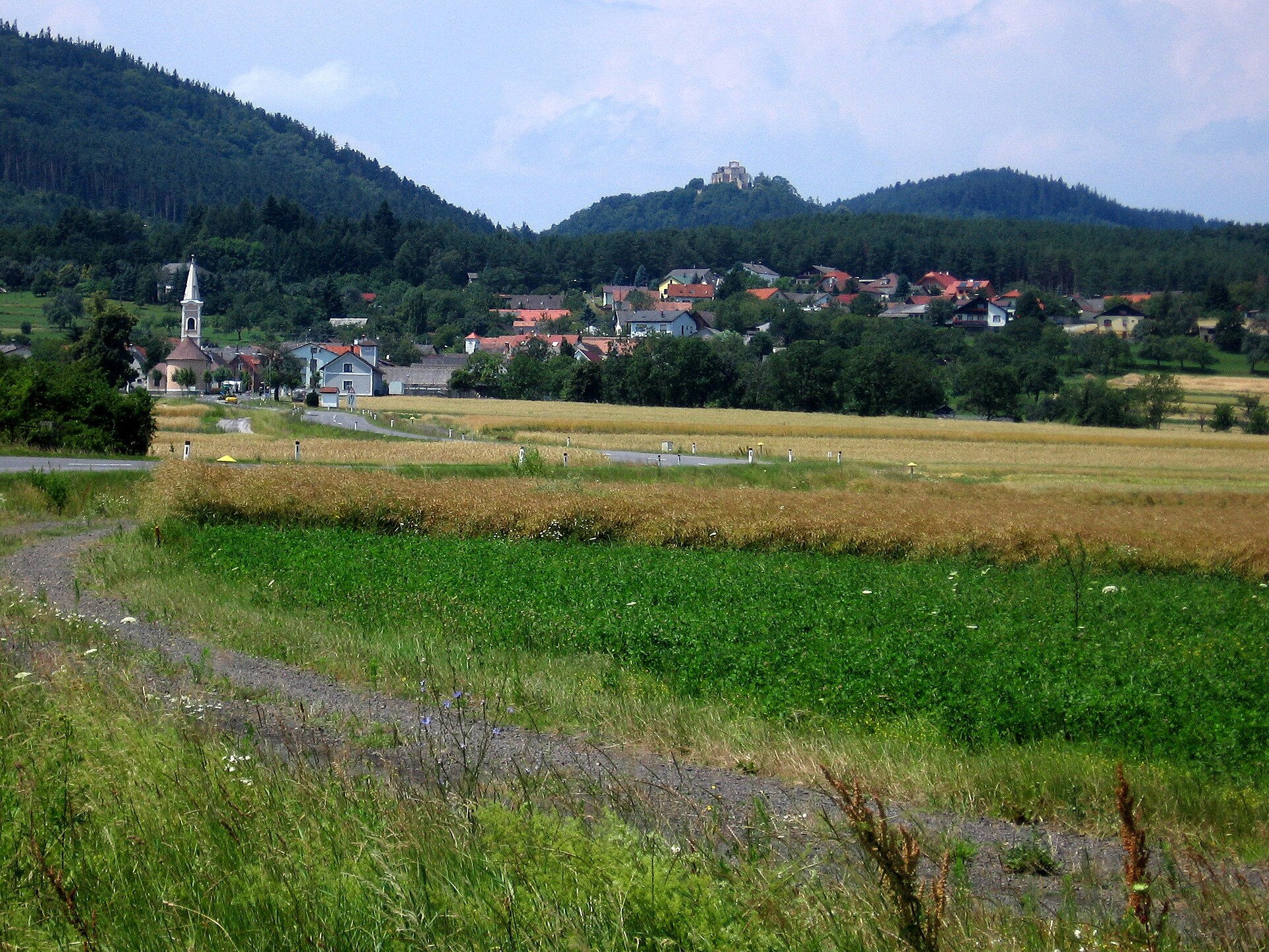
A terrestrial area, with forests and mountains.
What rocks lie beneath Kőszeg Protected Landscape Area?
According to the European 1:1 million geological map (EGDI), the bedrock consists mainly of phyllites and slates (63% of sampled points), glacial deposits (25%) and clays and silts (13%). These are mostly metamorphic rocks. The geological units date mainly from the Jurassic (63% of sampled points).
What is the highest point of Kőszeg Protected Landscape Area?
Geschriebenstein / Írott-kő, at 884 m (OpenStreetMap).
What are the main summits of Kőszeg Protected Landscape Area?
Geschriebenstein / Írott-kő (884 m), Kendig (725 m), Hármashatár-hegy (724 m), Kopasz-Kendig (708 m) and Kopasz-domb (687 m) (OpenStreetMap).
Which international labels apply to Kőszeg Protected Landscape Area?
Natura 2000 network (2 sites).
When is the best time to visit Kőszeg Protected Landscape Area?
Mildest period: from June to August, with average temperatures of 17 to 20 °C.
What is the nearest large city to Kőszeg Protected Landscape Area?
Nearest towns of over 50,000 people, as the crow flies: Szombathely (13 km) and Sopron (31 km). Nearest airport: Wien-Schwechat (VIE), about 78 km away.
How can I reach Kőszeg Protected Landscape Area by train?
The nearest railway station is Kőszegfalva, less than 1 km from the site boundary.
Where can I get visitor information on site?
Tourinform, Naturpark Geschriebenstein and Naturpark-Informationsbüro.
Are there waymarked hiking trails in Kőszeg Protected Landscape Area?
Yes. Waymarked hiking routes listed in OpenStreetMap: 46, including E 4, Via Mariae, Mária-út, and Via Sancti Martini. The “Z Vasfüggöny túraút (Rajka – Felsőszölnök – Gyékényes)” route runs for about 15 km through the site, with some 550 m of ascent on its longest section.
Which species can be seen in Kőszeg Protected Landscape Area?
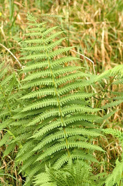
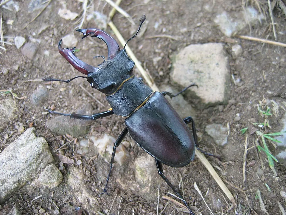
Among the species most often recorded on GBIF are Wormaldia occipitalis, Oreopteris limbosperma (Lemon-scented fern), Rhyacophila fasciata and Lucanus cervus (Stag beetle).
© OpenStreetMap
Download the boundary: GeoJSON · GPX Boundary © OpenStreetMap contributors (ODbL).
Geography
The representative point of the site lies at around 573 m above sea level. Over the 1996–2025 period, the mean annual temperature is about 8.8 °C and total precipitation reaches roughly 748 mm per year. The warmest month is usually July, the coolest January, and the wettest May. According to the European 1:1 million geological map (EGDI), the bedrock consists mainly of phyllites and slates (63% of sampled points), glacial deposits (25%) and clays and silts (13%). These are mostly metamorphic rocks. The geological units date mainly from the Jurassic (63% of sampled points).
Area
- Area
- 4,371 ha
- Elevation
- 573 m
- Median elevation
- 487 m
- Mean slope
- 12°
- Coordinates
- 47.3712, 16.4764
Terrain: Mapzen Terrain Tiles (SRTM, USGS)
Bedrock
- Phyllites and slates 63 %
- Glacial deposits 25 %
- Clays and silts 13 %
Metamorphic rocks 63 % · Sedimentary rocks 38 % · Main age: Jurassic (63%)
Source: EGDI 1:1M geological map (EuroGeoSurveys and national geological surveys), CC BY 4.0 · 16 sampled points within the site.
Main summits
- Geschriebenstein / Írott-kő884 m
- Kendig725 m
- Hármashatár-hegy724 m
- Kopasz-Kendig708 m
- Kopasz-domb687 m
- Irány-hegy661 m
- Tábor-hegy644 m
- Kereszt-kút632 m
- Szent Vid-hegy589 m
- Kalapos-kő587 m
Data © OpenStreetMap contributors (ODbL)
Climate
● Mean temperature (°C) · ▮ Precipitation (mm)
Source: Copernicus ERA5-Land (C3S, doi:10.24381/cds.68d2bb30), monthly averages 1996–2025 interpolated to the representative point, temperatures adjusted for elevation.
Contains modified Copernicus Climate Change Service information 2026. Neither the European Commission nor ECMWF is responsible for any use that may be made of the Copernicus information or data it contains.
Snow cover measured by satellite
J
F
M
A
M
J
J
A
S
O
N
D
average share of the site under snow · snowiest parts · ≈ 10 days a year
Snow cover: MODIS/Terra MOD10CM v61 (Hall & Riggs, 2021, NASA NSIDC DAAC, doi:10.5067/MODIS/MOD10CM.061), imagery from NASA GIBS (ESDIS); 2015–2025 average, grid of about 5 km.
Natural habitats
According to CORINE Land Cover (2018), the site is mainly made up of forests (85%) and farmland (8%). Woodland is mostly broadleaved. Elevation ranges from about 270 m to 884 m (highest point: Geschriebenstein / Írott-kő). The 2 Natura 2000 sites overlapping the area list 11 habitats of European interest (3 priority), the most extensive being Asperulo-Fagetum beech forests, Pannonic woods with Quercus petraea and Carpinus betulus and lowland hay meadows (Alopecurus pratensis, Sanguisorba officinalis).
Biodiversity
Based on occurrences aggregated by GBIF, several species are regularly recorded within the site. Among the most frequent are Wormaldia occipitalis, Oreopteris limbosperma (Lemon-scented fern), Rhyacophila fasciata and Lucanus cervus (Stag beetle). The full list of documented taxa is shown below. The overlapping Natura 2000 sites list 26 species of European interest: 6 mammals, 3 amphibians, 4 fish, 11 invertebrates and 2 plants.
Habitats of European interest
From the official forms of the 2 Natura 2000 sites overlapping the area (areas reported for each whole site).
- Asperulo-Fagetum beech forests 1,234 ha
- Pannonic woods with Quercus petraea and Carpinus betulus priority 868 ha
- Lowland hay meadows (Alopecurus pratensis, Sanguisorba officinalis) 69 ha
- Alluvial forests with Alnus glutinosa and Fraxinus excelsior (Alno-Padion, Alnion incanae, Salicion albae) priority 47 ha
- Luzulo-Fagetum beech forests 5 ha
- Molinia meadows on calcareous, peaty or clayey-silt-laden soils (Molinion caeruleae) 4 ha
- Semi-natural dry grasslands and scrubland facies on calcareous substrates (Festuco-Brometalia) (* important orchid sites) 3 ha
- Tilio-Acerion forests of slopes, screes and ravines priority 3 ha
and 3 more
Species of European interest
Mammals · 6
Barbastelle (Barbastella barbastellus), Eurasian otter (Lutra lutra), Bechstein's bat (Myotis bechsteinii), Geoffroy's bat (Myotis emarginatus), Greater mouse-eared bat (Myotis myotis), Lesser horseshoe bat (Rhinolophus hipposideros)
Amphibians · 3
European fire-bellied toad (Bombina bombina), Yellow-bellied toad (Bombina variegata), Italian crested newt (Triturus carnifex)
Fish · 4
European bullhead (Cottus gobio), Ukrainian brook lamprey (Eudontomyzon mariae), Eudontomyzon spp., Rhodeus sericeus amarus
Invertebrates · 11
Stone crayfish (Austropotamobius torrentium), Greater Capricorn Beetle (Cerambyx cerdo), Balkan goldenring (Cordulegaster heros), Stag beetle (Lucanus cervus), Large copper (Lycaena dispar), Dusky Large Blue (Maculinea nausithous), Scarce large blue (Maculinea teleius), Green snaketail (Ophiogomphus cecilia), Clouded apollo (Parnassius mnemosyne), Thick shelled river mussel (Unio crassus), Southern Festoon (Zerynthia polyxena)
Plants · 2
Adriatic lizard orchid (Himantoglossum adriaticum), Greater Pasque Flower (Pulsatilla grandis)
Source: Natura 2000 standard data forms (EEA, CC-BY 4.0). Not exhaustive: sensitive species are not published.
Species to look out for
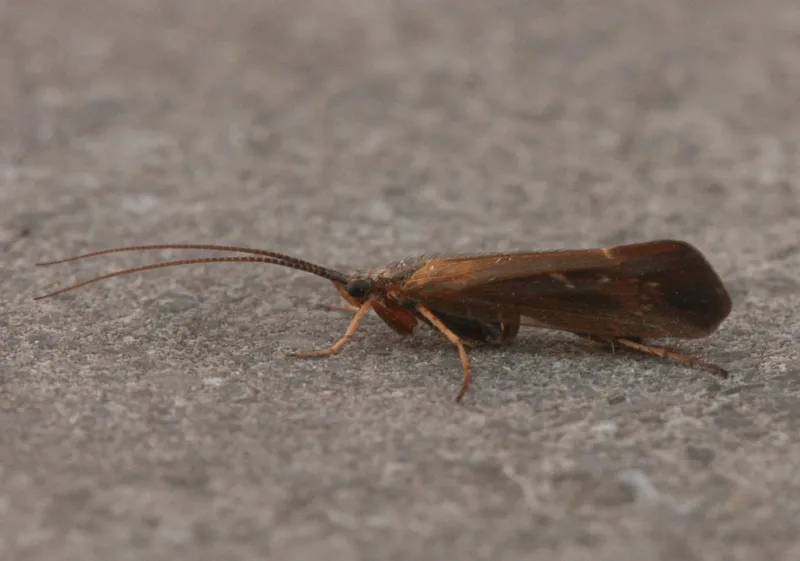
Insect
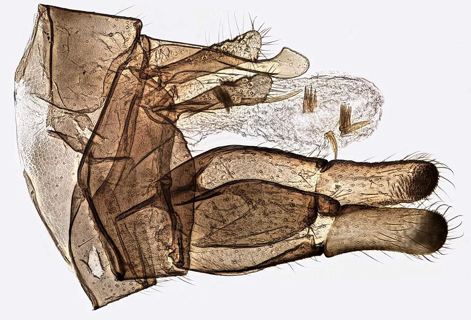
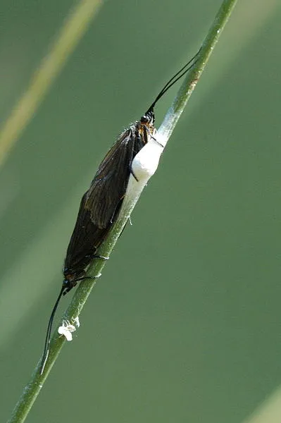
Limnephilus auricula
Observed species
Occurrences documented via GBIF; they are neither an exhaustive inventory nor proof of current presence.
- Wormaldia occipitalis · 61
- Lemon-scented fern · Oreopteris limbosperma · 59
- Rhyacophila fasciata · 41
- Stag beetle · Lucanus cervus · 39
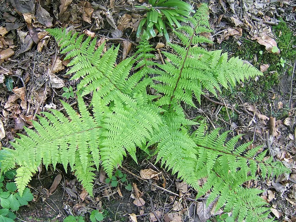
- Lady-fern · Athyrium filix-femina · 36
- Limnephilus auricula · 34
- Stenophylax permistus · 32
- Male fern · Dryopteris filix-mas · 31
- Cinnamon Sedge · Limnephilus lunatus · 27
- Yellow spotted sedge · Philopotamus montanus · 25
- Plectrocnemia brevis · 25
- Grammotaulius nigropunctatus · 25
+18 more species
- European Beech · Fagus sylvatica · 25
- Rhyacophila hirticornis · 24
- Chaetopteryx major · 24
- Bracken · Pteridium aquilinum · 23
- Lype reducta · 21
- Jersey Tiger · Euplagia quadripunctaria · 21
- Beautiful Demoiselle · Calopteryx virgo · 19
- Philopotamus ludificatus · 19
- Heath Fritillary · Melitaea athalia · 19
- Maidenhair Spleenwort · Asplenium trichomanes · 19
- Limnephilus ignavus · 18
- Green Mountain Grasshopper · Miramella alpina · 18
- Welshman's Button Caddisfly · Sericostoma personatum · 18
- Marbled Sedge · Hydropsyche contubernalis · 18
- Hydropsyche pellucidula · 18
- Common blue · Polyommatus icarus · 18
- Tinodes rostocki · 17
- Ptilocolepus granulatus · 16
Records: GBIF.org (CC-BY). Names: Wikidata (CC0), GBIF. Photos: Wikimedia Commons.
Conservation challenges
The primary purpose of the site is to preserve its natural habitats and the biodiversity they support. The species recorded (Biodiversity tab) reflect its ecological value. The designations it holds frame its management and the control of land use.
According to Global Forest Change data (University of Maryland, Global Forest Watch), about 399 ha of tree cover were lost within the boundary between 2001 and 2023 (9% of its area), peaking in 2019. These losses include logging, storms and fires, and do not account for regrowth. According to the European CORINE Land Cover inventory (Copernicus), land cover changed on about 50 ha of the site between 1990 and 2018 (1% of its area): farmland shrank by 50 ha, mostly giving way to forest, while forest grew by 50 ha, mostly at the expense of farmland. Forest felling and regrowth add about 440 ha in total over the period. At night, 2% of the area gives off artificial light detectable from space (NASA VIIRS Black Marble composite, 2016). According to the Natura 2000 forms, of 8 assessed habitats of European interest, 1 is in excellent condition and 2 in average or reduced condition. According to the Water Framework Directive assessment (2022 river basin management plans, data 2013–2019), only 43% of the 7 km of rivers assessed within the site are in good or high ecological status; the others mostly have poor ecological status. Since 2000, 9 invasive alien species have been recorded within the site (GBIF observations), one of them listed as of Union concern under EU Regulation 1143/2014. Among them: Impatiens glandulifera (Himalayan Balsam), Impatiens parviflora (Small balsam) and Juncus tenuis (Slender rush).
Pressure indicators
Tree cover lost
399 ha
2001–2023 · 9% of the area
20012023
Fires since 2016
0
No large fire mapped (fires over about 30 ha)
Light at night
2%
of the area gives off artificial light visible from space
DarkLit
Built-up land
< 1%
buildings, business areas, roads, quarries · farmland 8%
Land cover change
50 ha
changed cover, 1990–2018 · CORINE · 1% of the area
- −50 ha · farmland
- +50 ha · forest
forest felling and regrowth: 440 ha in total
Rivers and lakes
43%
of the 7 km of assessed rivers in good or high ecological status · WFD 2022
assessments 2013–2019
Invasive alien species
9
incl. 1 of EU concern · since 2000
 Himalayan BalsamEU
 Small balsam
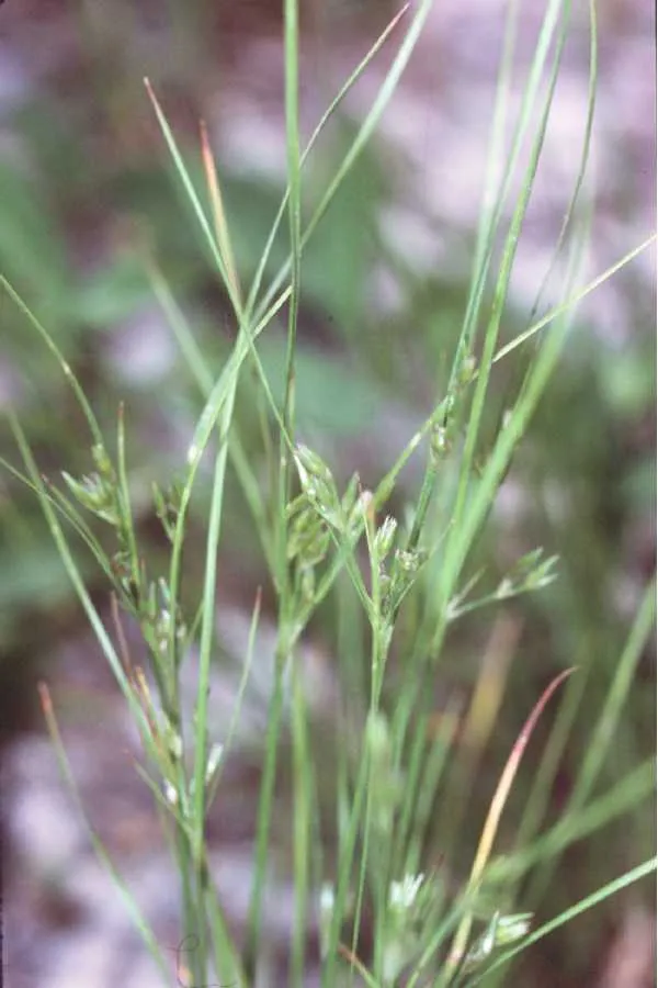 Slender rush
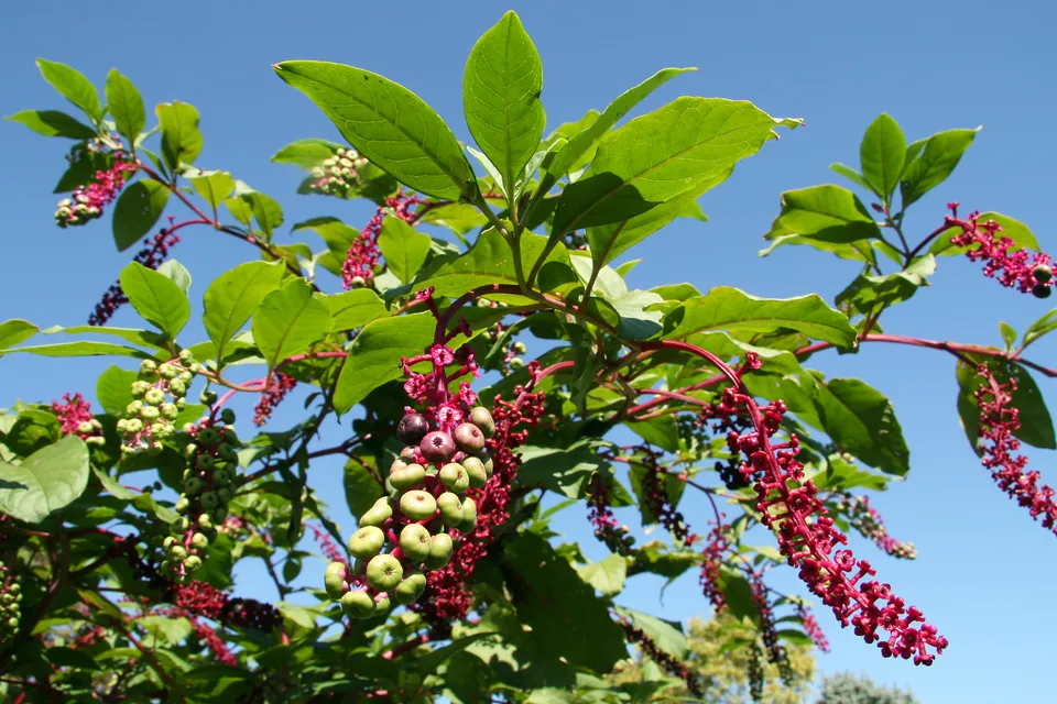 American pokeweed
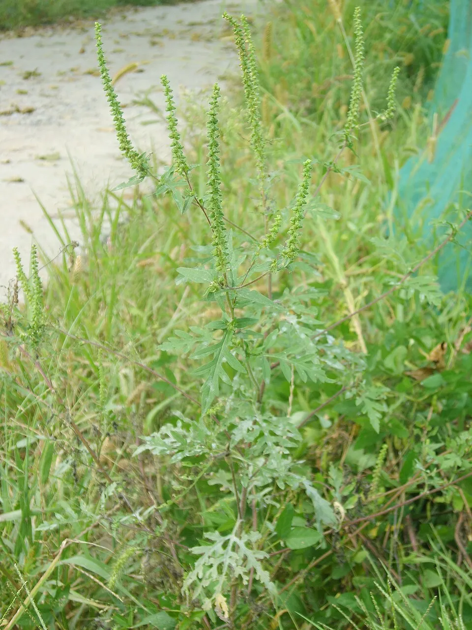 Annual ragweed
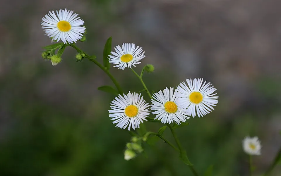 Eastern daisy fleabane
 Canada Horseweed
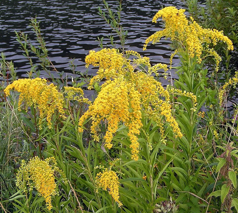 Giant goldenrod
Photos: Himalayan Balsam © Guptaele · CC BY-SA 4.0; Small balsam © André Karwath aka Aka · CC BY-SA 2.5; Slender rush © EVula · Public domain; American pokeweed © Huw Williams (Huwmanbeing) · Public domain; Annual ragweed © Dalgial · CC BY-SA 3.0; Eastern daisy fleabane © W. Bulach · CC BY-SA 4.0; Canada Horseweed © Andrey Zharkikh from Salt Lake City, USA · CC BY 2.0; Giant goldenrod © Pethan · CC BY-SA 3.0
Sources: Global Forest Change (Hansen et al., University of Maryland, via Global Forest Watch, CC-BY 4.0); EFFIS, European Commission / Copernicus; NASA Black Marble 2016 (public domain); CORINE Land Cover 2018 (Copernicus) or MODIS.
CORINE Land Cover Change 1990–2018: generated using European Union's Copernicus Land Monitoring Service information (EEA), aggregated by Parkavela; DOI 10.2909/f30f1000-7cf8-43bb-872c-5eb093911b24.
Ecological status of water bodies: European Environment Agency, WISE – Water Framework Directive, 3rd river basin management plans (2022), CC BY 4.0. Official national classification, not comparable between countries.
Invasive alien species: Global Register of Introduced and Invasive Species (ISSG, CC BY 4.0); Union list, Regulation (EU) 1143/2014 (INBO, CC0); GBIF.org records (CC0 / CC BY 4.0), at least 2 per species.
Practical information
Cities and airport
- Szombathely
13 km as the crow flies - Sopron
31 km as the crow flies - Airport: Wien-Schwechat (VIE)
78 km as the crow flies
Visitor information
- Tourinform
1 km from the site boundary - Naturpark Geschriebenstein
2 km from the site boundary - Naturpark-Informationsbüro
3 km from the site boundary
Hiking
46 waymarked routes listed, including:
E 4Via Mariae,Mária-út,Via Sancti MartiniK, OKTOrszágos Kéktúra
By bike
Írottkő Geschriebenstein · 25 kmkerékpárút Hörmann-forrás - Kincs-pihenő - Hétforrás · 11 kmkerékpárút Vöröskereszt-Hétforrás · 4 km
Signed cycle routes: this does not mean that cycling is allowed on footpaths.
Data © OpenStreetMap contributors (ODbL) · Wikidata (CC0)
Routes © OpenStreetMap contributors (ODbL), via Waymarked Trails
Waymarked hiking routes
Mária-út, M01-06B (Rattersdorf – Hétvezér-forrás – Kőszeg)
4.3 km within the site ↗ 134 m↘ 196 m 366–505 m
K K, OKT 01. (Írott-kő – Kőszeg – Sárvár)
11.2 km within the site ↗ 137 m↘ 629 m 366–859 m
RPDDK Rockenbauer Pál Dél-dunántúli Kéktúra
7.7 km within the site ↗ 98 m↘ 637 m 335–879 m
Z Z Vasfüggöny túraút (Rajka – Felsőszölnök – Gyékényes)
15.2 km within the site ↗ 548 m↘ 170 m 325–708 m
Tracks © OpenStreetMap contributors (ODbL), clipped to the boundary; elevation gain and profiles computed on the longest section from Mapzen Terrain Tiles (≈ 30 m), indicative only. Indicative difficulty (SAC scale, OpenStreetMap, via Waymarked Trails): check with the park.
Access and visiting
The nearest railway station is Kőszegfalva, less than 1 km from the site boundary. Nearest towns of over 50,000 people, as the crow flies: Szombathely (13 km) and Sopron (31 km). Nearest airport: Wien-Schwechat (VIE), about 78 km away. About 190,000 people live within 20 km of the site boundary, 43,000 of them within 10 km; some 960 people are estimated to live inside (GHSL estimate, 2020). Visitor information on site: Tourinform, Naturpark Geschriebenstein and Naturpark-Informationsbüro. Waymarked hiking routes listed in OpenStreetMap: 46, including E 4, Via Mariae, Mária-út, and Via Sancti Martini. The site is crossed by 3 signed cycle routes, including “Írottkő Geschriebenstein” and “kerékpárút Hörmann-forrás - Kincs-pihenő - Hétforrás” (OpenStreetMap). To plan a visit (access, opening periods, visitor rules), it is best to consult the official information from the managing body and the official website listed in this page's sources.
Source: OpenStreetMap (ODbL), Wikidata (CC0), October 2026.
When to visit
Mildest period: from June to August, with average temperatures of 17 to 20 °C. Average temperatures drop below 0 °C in December and January: frost is common. Snow only makes brief appearances in winter (about 10 days a year on average, MODIS satellites 2015–2025). Day length ranges from about 8 h 29 min in December to 15 h 55 min in June. Wildlife records published on GBIF peak for birds (May), plants (from June to August), butterflies and moths (August), dragonflies (June and July) and mammals (February). These peaks also reflect when observers are most active.
Source: Copernicus ERA5-Land (C3S), monthly averages 1996–2025 at the representative point, temperatures adjusted for elevation.
Contains modified Copernicus Climate Change Service information 2026. Neither the European Commission nor ECMWF is responsible for any use that may be made of the Copernicus information or data it contains.
Wildlife records calendar
JFMAMJJASOND
Birds
Plants
Butterflies & moths
Dragonflies
Mammals
Monthly records published on GBIF (CC-BY), relative to the busiest month; also reflects observer activity.
Gallery
© Darinko · Public domain
© Zátonyi Sándor, (ifj.) Fizped · CC BY 3.0
© Zátonyi Sándor (ifj.), Fizped · CC BY 3.0
© Vasi Manó · CC BY-SA 3.0
© Zátonyi Sándor, (ifj.) Fizped · CC BY 3.0
© Zátonyi Sándor (ifj.), Fizped · CC BY 3.0
Sources and licences
- Wikidata: Q338232
- OpenStreetMap: relation 19268940
- Wikipedia: fr.wikipedia.org/wiki/Zone_de_protection_paysagère_de_Kőszeg
- WDPA: 9568
References
- cds.climate.copernicus.eu: climate · CC-BY-4.0
- registry.opendata.aws: elevation of the reference point, detailed relief · PD
- land.copernicus.eu: land cover, land cover change, sea share · COPERNICUS
- doi.org: population around the site · CC-BY-4.0
- wikidata.org: official area, establishment date, protected heritage, nearby cities and airport, access and peaks, lake depths, places to see · CC0-1.0
- eea.europa.eu: bathing water quality, ecological status of waters · CC-BY-4.0
- en.eurovelo.com: EuroVelo cycle routes · ODbL-1.0
- cycling.waymarkedtrails.org: cycle routes · ODbL-1.0
- opentopodata.org: elevations · PD
- forest-fire.emergency.copernicus.eu: wildfires · COPERNICUS
- globalforestwatch.org: tree cover loss · CC-BY-4.0
- gbif.org: seasonality of sightings, invasive alien species, observed species · CC-BY-4.0
- europe-geology.eu: geology · CC-BY-4.0
- hydrosheds.org: lakes · CC-BY-4.0
- natura2000.eea.europa.eu: Natura 2000 habitats and species · CC-BY-4.0
- openstreetmap.org: official name, access and peaks · ODbL-1.0
- earthobservatory.nasa.gov: night light · PD
- hiking.waymarkedtrails.org: route difficulty · ODbL-1.0
- nsidc.org: snow cover · PD
- wikidata.org: Wikipedia article · CC-BY-SA-4.0
Data © OpenStreetMap contributors (ODbL), Wikidata (CC0) and the sources cited.