
Insect
Red admiral: where to see it
Vanessa atalanta
This insect species is recorded in 14 protected areas of the atlas. Within the atlas countries, it is mostly observed in the United Kingdom, France and Belgium (11 countries in all). Most records (8 in 10) lie between 90 and 1,350 m above sea level. Records peak from June to September. It has a wingspan of 4.5–5.7 cm.
Best time to see it: June–September
Records published on GBIF by month (CC0 and CC BY 4.0 licences only), in the atlas countries, all years combined; they also reflect observer activity.
Key facts
- Wingspan
- 4.5–5.7 cm Wikidata, after The Butterflies of Canada, 1998
Distribution
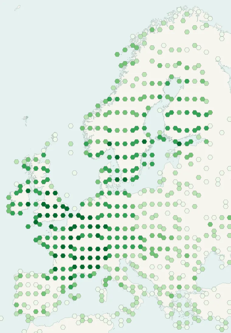
Records published on GBIF (CC0 and CC BY 4.0 licences): the darker the shade, the more records there are; they also reflect observation effort.
From Wikipedia
Vanessa atalanta, the red admiral or, previously, the red admirable, is a well-characterized, medium-sized butterfly with black wings, red bands, and white spots. It has a wingspan of about 2 inches (5 cm). It was first described by Carl Linnaeus in his 1758 10th edition of Systema Naturae. The red admiral is widely distributed across temperate regions of North Africa, North America, Europe, Asia, and the Caribbean. It resides in warmer areas, but migrates north in spring and sometimes again in autumn.
Source: Wikipedia, article “Vanessa atalanta” (version of June 21, 2026) · history and authors · licence CC BY-SA 4.0 · shortened excerpt
Protected areas where it is recorded
15,854 records

3,315 records
1,618 records
877 records
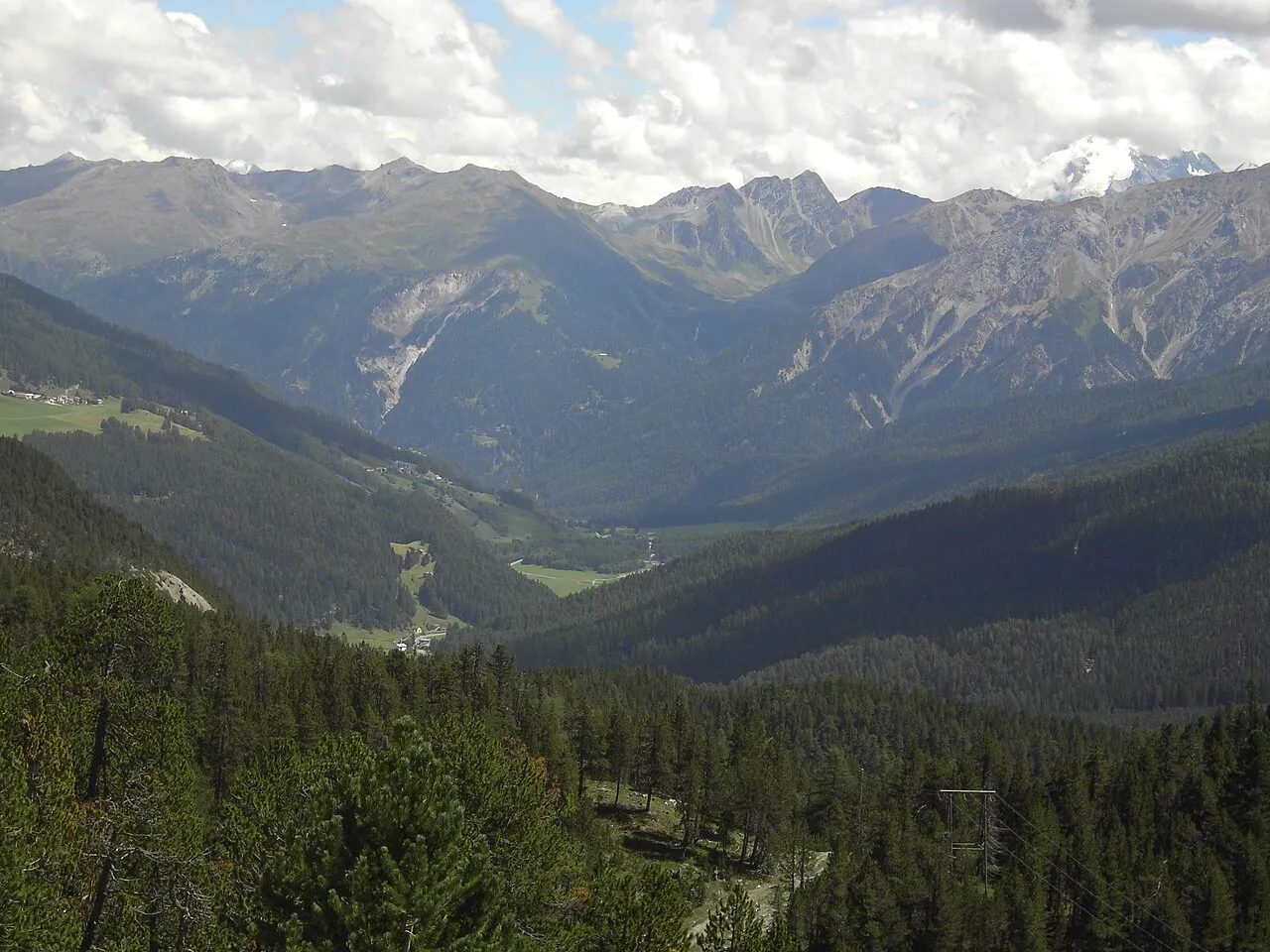
565 records
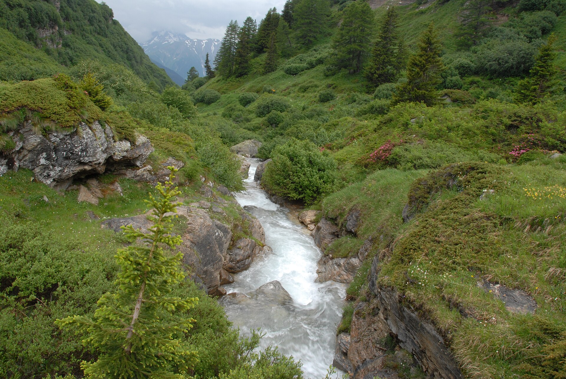
509 records
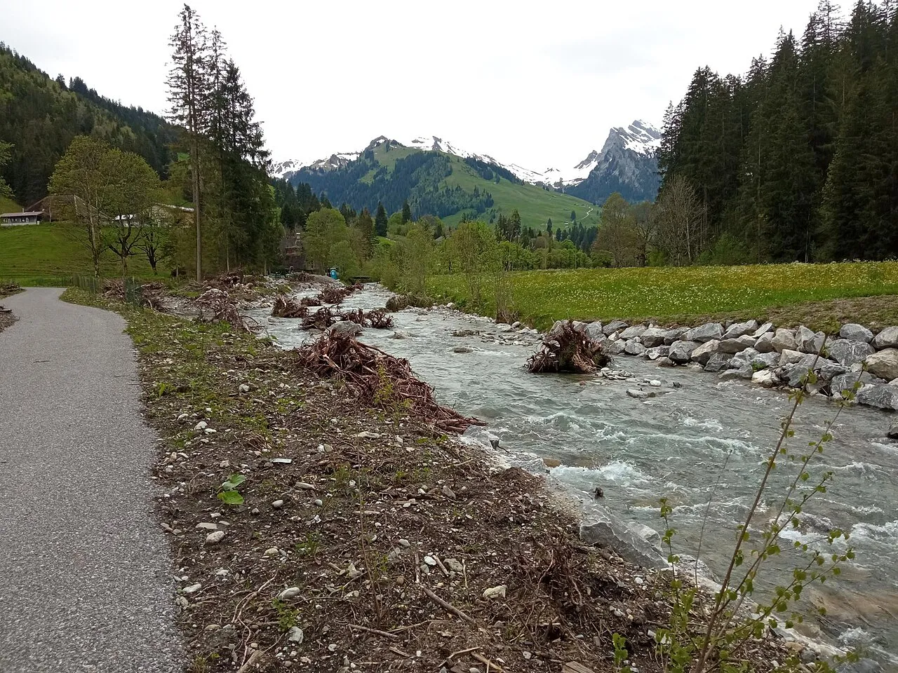
290 records
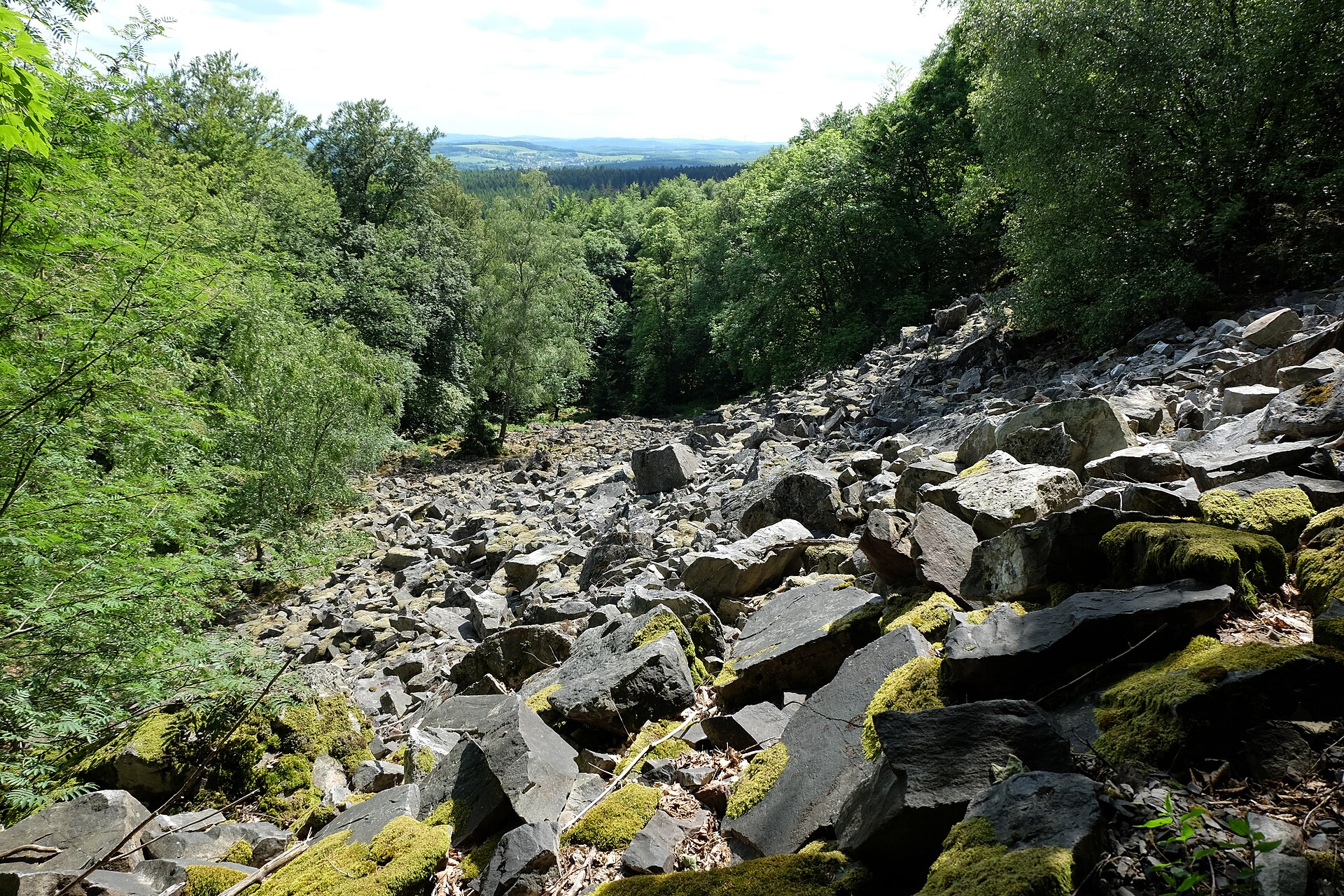
76 records
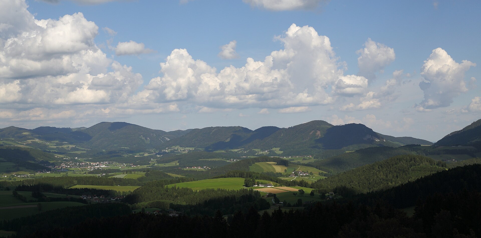
32 records
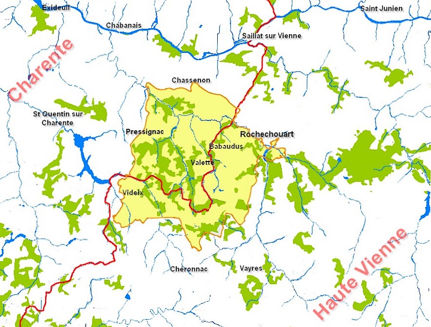
3 records

3 records

2 records
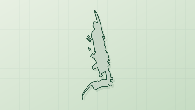
2 records
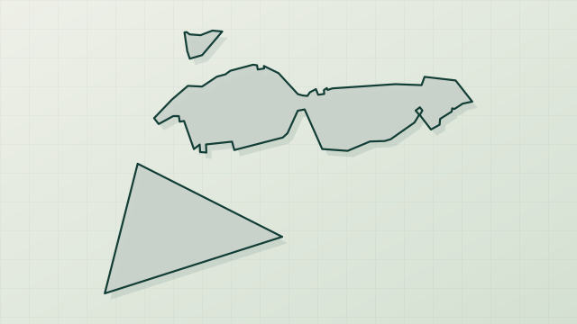
1 records
Other species to discover

Sources and credits
- Presence: most-recorded species of each place on GBIF and species of Community interest in the Natura 2000 forms (EEA, CC-BY 4.0); absence from the list does not mean the species is absent.
- Common names: Wikidata (CC0) and GBIF.
- Photos and sounds: Wikimedia Commons, author and licence given for each file.
- Classification: GBIF Backbone Taxonomy (GBIF Secretariat), CC BY 4.0, doi:10.15468/39omei.
- Countries, elevations, months and maps: GBIF.org, CC0 or CC BY 4.0 occurrences only, accessed October 22, 2026, GBIF.org.
- Base map: Natural Earth (public domain).
- Excerpt: Wikipedia, CC BY-SA 4.0 (full credit below the excerpt).
- Key facts: Wikidata (CC0), with the references cited under each value.