
Plant
Pohlia moss: where to see it
Pohlia nutans
This plant species is recorded in 3 protected areas of the atlas. Within the atlas countries, it is mostly observed in the United Kingdom, the Netherlands and Sweden (11 countries in all). Most records (8 in 10) lie between 270 and 1,500 m above sea level. Records peak from June to September.
Best time to see it: June–September
Records published on GBIF by month (CC0 and CC BY 4.0 licences only), in the atlas countries, all years combined; they also reflect observer activity.
Distribution
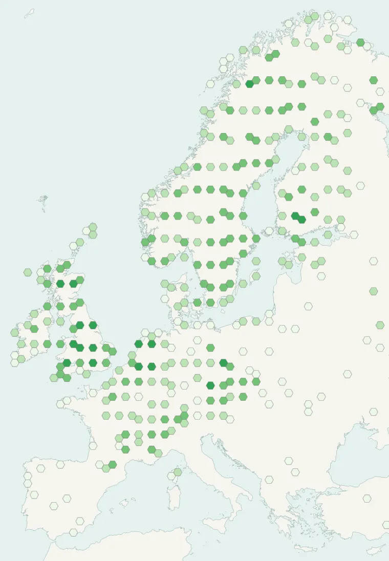
Records published on GBIF (CC0 and CC BY 4.0 licences): the darker the shade, the more records there are; they also reflect observation effort.
Atlas countries where it is recorded
From Wikipedia
Pohlia nutans, the nodding thread-moss, is a species of moss in the family Mniaceae. It has a cosmopolitan distribution, found on all seven continents; Europe, Iceland, Siberia, Japan, North America, Greenland, the Andes of South America, South Africa, Tasmania and nearby mainland Australia, New Zealand, and the Antarctic Peninsula and Mount Rittmann in Antarctica. An extremophile, it is resistant to cold, drought, salt, acid, heavy metals, and intense UV radiation. Pohlia nutans is subject to fungal infections which cause fairy rings to appear.
Source: Wikipedia, article “Pohlia nutans” (version of May 4, 2025) · history and authors · licence CC BY-SA 4.0 · shortened excerpt
Protected areas where it is recorded

867 records
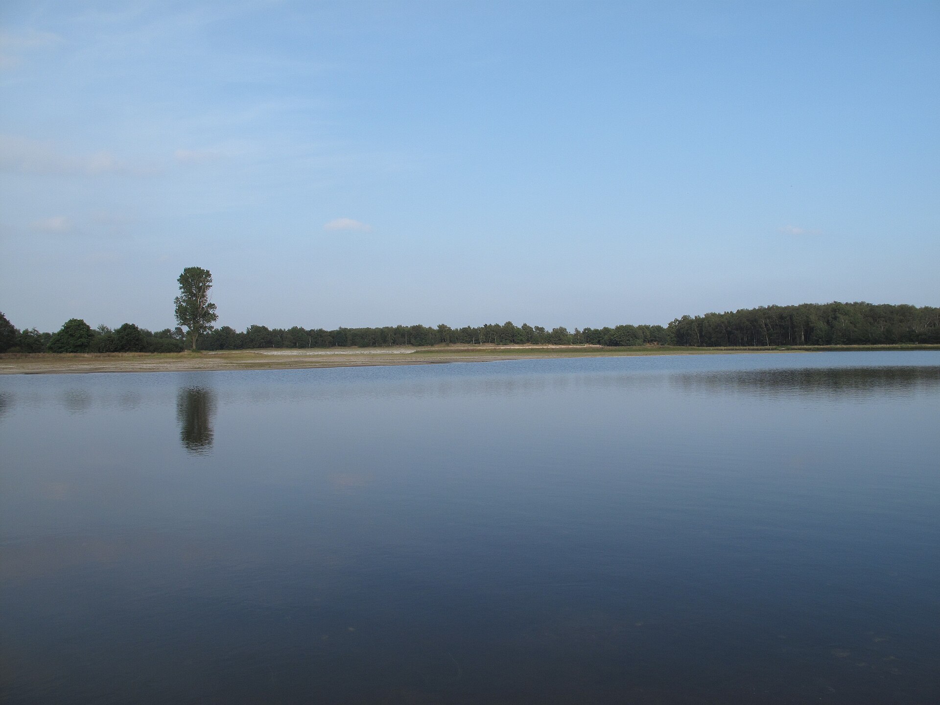
190 records
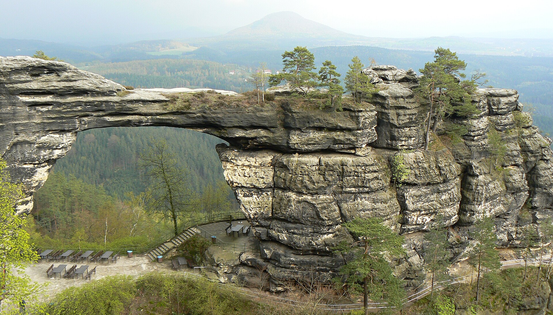
56 records
Other species to discover
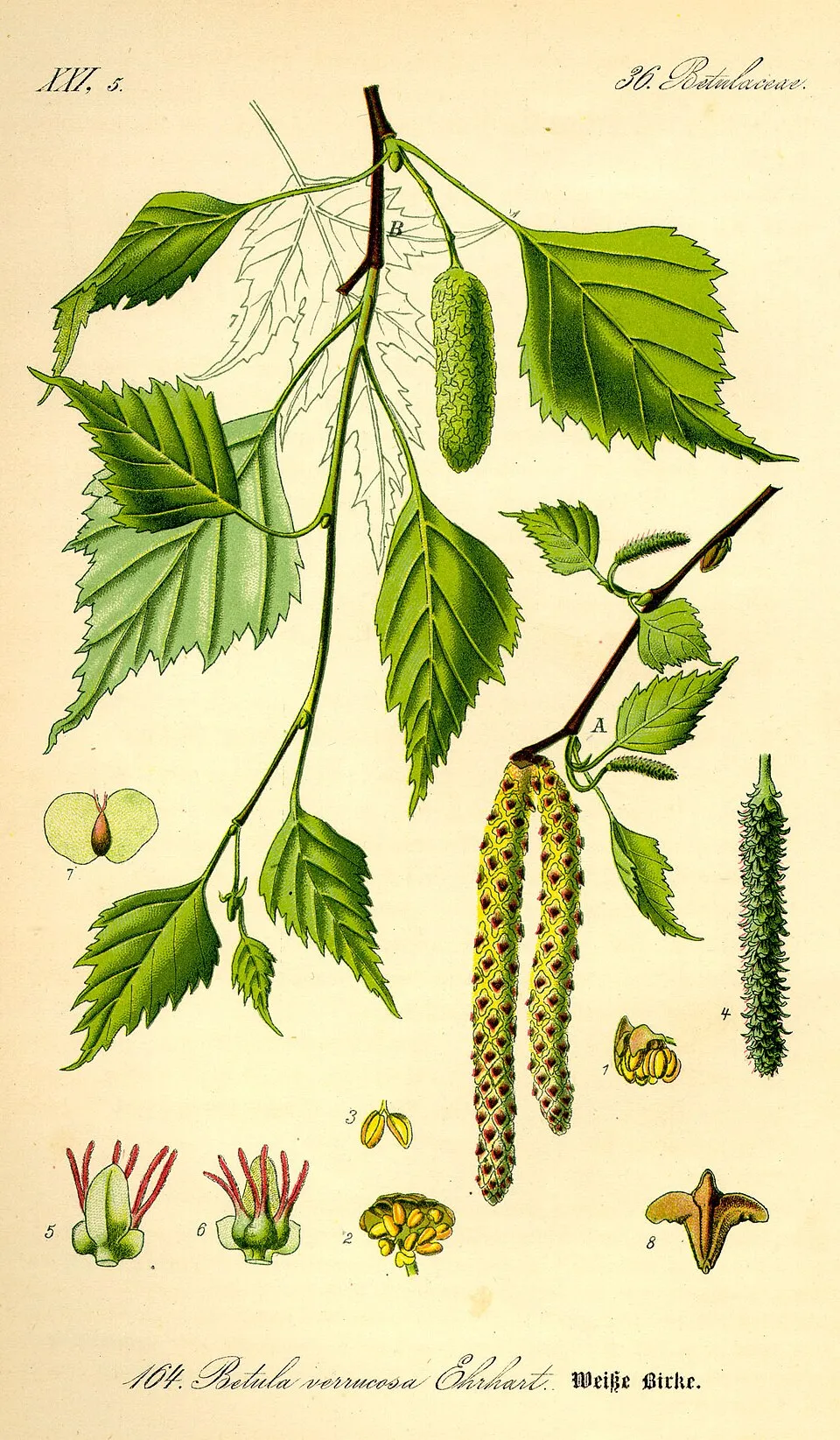 Silver Birch
Betula pendula 2 places in common
 Scottish Heather
Calluna vulgaris 2 places in common
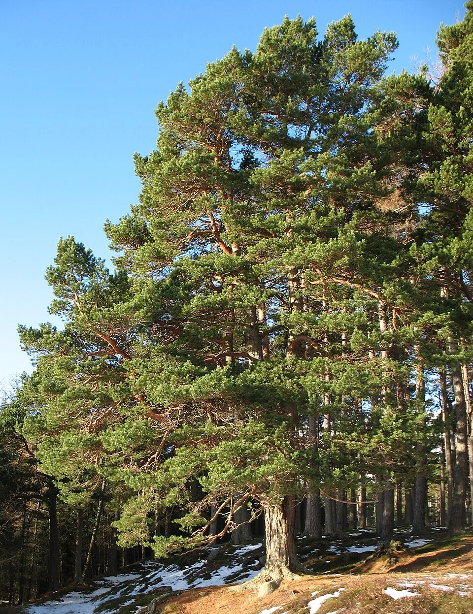 Scots Pine
Pinus sylvestris 2 places in common
 Wavy hairgrass
Avenella flexuosa 2 places in common
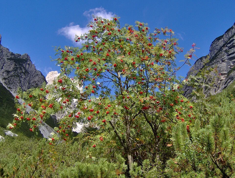 Rowan
Sorbus aucuparia 2 places in common
 Great Spotted Woodpecker
Dendrocopos major 2 places in common
Sources and credits
- Presence: most-recorded species of each place on GBIF and species of Community interest in the Natura 2000 forms (EEA, CC-BY 4.0); absence from the list does not mean the species is absent.
- Common names: Wikidata (CC0) and GBIF.
- Photos and sounds: Wikimedia Commons, author and licence given for each file.
- Classification: GBIF Backbone Taxonomy (GBIF Secretariat), CC BY 4.0, doi:10.15468/39omei.
- Countries, elevations, months and maps: GBIF.org, CC0 or CC BY 4.0 occurrences only, accessed October 22, 2026, GBIF.org.
- Base map: Natural Earth (public domain).
- Excerpt: Wikipedia, CC BY-SA 4.0 (full credit below the excerpt).