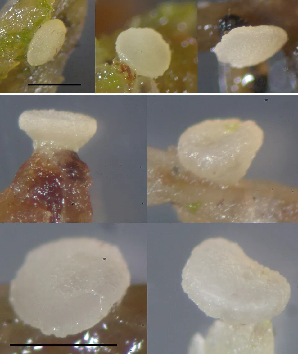
Fungus
Hyaloscypha hepaticicola
1,366 records © Nina Filippova (The Fungarium of Yugra State University) · CC BY 4.0
Sweden · Terrestrial
National park of 127,993 hectares in Sweden, established in 1909.
National park of 127,993 hectares in Sweden, established in 1909.
Stora Sjöfallet National Park is located in Sweden (Europe). It is a predominantly terrestrial area. Established on 24 May 1909, it covers about 127,993 hectares. The site is managed by Norrbotten County Administrative Board.
Protected as a national park. International labels and designations: UNESCO World Heritage (“Laponian National Park”) and Natura 2000 network (1 site: “Stora Sjöfallet”). Key dates: established in 1909, World Heritage listing in 1996 and first Natura 2000 site under the Habitats Directive in 2009.
Sources: Wikidata (CC0) for establishment and international labels; EEA Natura 2000 database (CC-BY 4.0) for site designation dates.
In Sweden (Europe). Representative point: 67.5669° N, 17.9937° E.
About 127,993 hectares (1,280 km²). It is the 3rd largest of the 31 national parks in Sweden covered by Parkavela.
On 24 May 1909.
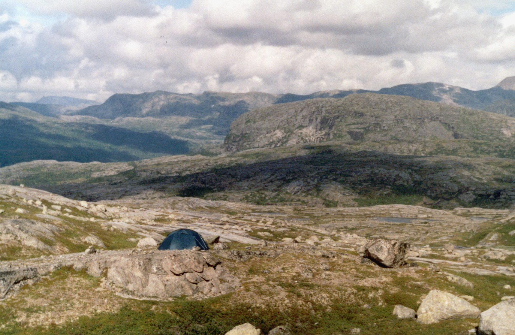
A terrestrial area, with mountains.
According to the European 1:1 million geological map (EGDI), the bedrock consists mainly of granites (57% of sampled points) and sandstones (21%). These are mostly igneous rocks. The geological units date mainly from the Precambrian (100% of sampled points).
Áhkká, at 2,011 m (OpenStreetMap).
Áhkká (2,011 m), Borgtoppen (1,961 m), Kallaktjåkkå (1,810 m), Skanátjåhkkå (1,767 m) and Njirávtjåhkkå (1,554 m) (OpenStreetMap).
UNESCO World Heritage (“Laponian National Park”) and Natura 2000 network (1 site: “Stora Sjöfallet”).
Mildest period: July and August, with average temperatures of 9 to 12 °C.
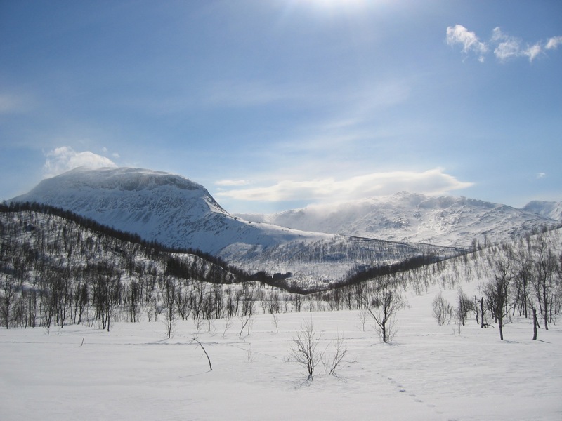
Yes. According to NASA's MODIS satellites (2015–2025 average), snow covers most of the site from October to May, and until June on higher ground, with about 245 snow-covered days a year on average. In midwinter, too dark for satellite measurements, snow cover is estimated from the neighbouring months.
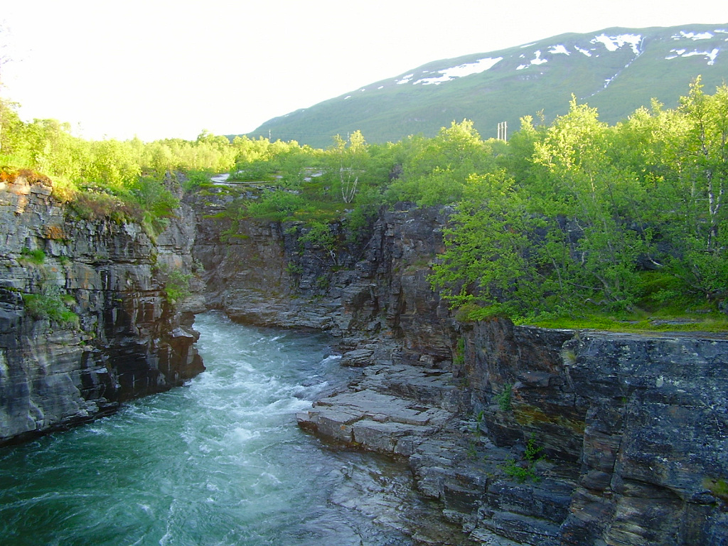
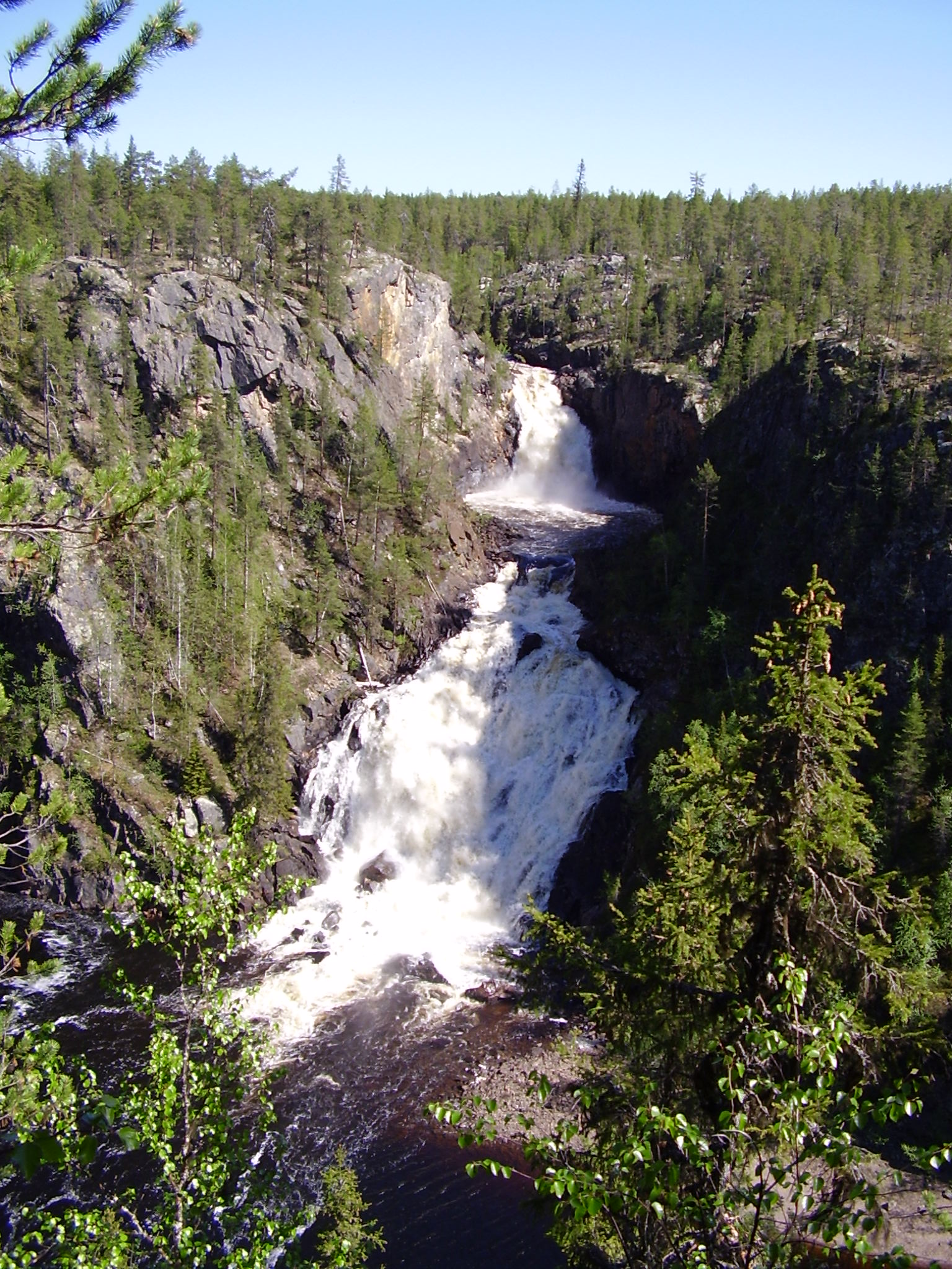
1 waterfall, 18 lakes and ponds and 11 glaciers, including Stora Sjöfallet (415 m), Sliehkkojávrre (788 m), Östra Kallaktjåkkå and Stuodakjávrre (829 m) (Wikidata).
Nearest airport: Kiruna (KRN), about 76 km away.
Stora Sjöfallets Naturum Visitor Centre.
Yes. Waymarked hiking routes listed in OpenStreetMap: 7, including Kungsleden Etapp, Padjelantaleden and Gränsleden. The “Kungsleden Etapp 13: Vakkotavare - Saltoluokta” route runs for about 20 km through the site, with some 170 m of ascent on its longest section.
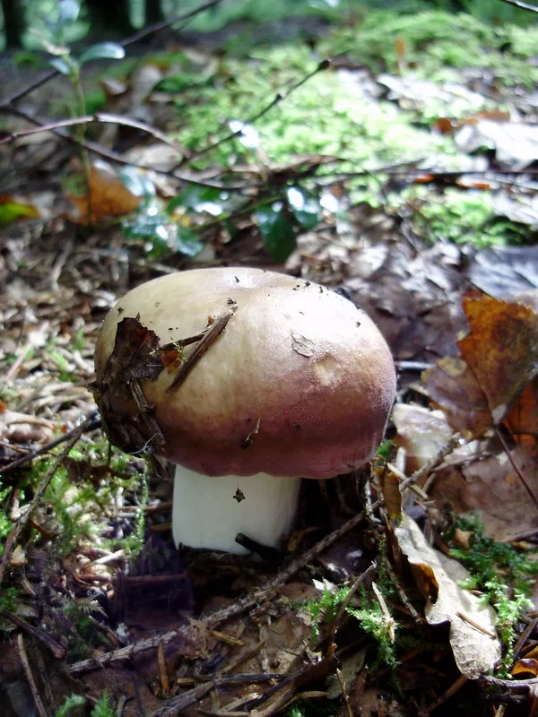
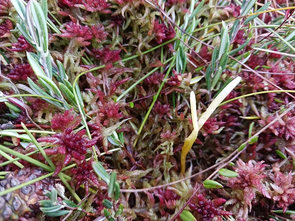
Among the species most often recorded on GBIF are Hyaloscypha hepaticicola, Russula decolorans (Copper Brittlegill), Clavaria sphagnicola and Polytrichum strictum (Polytrichum moss).
Norrbotten County Administrative Board.
© OpenStreetMap
Download the boundary: GeoJSON · GPX Boundary © OpenStreetMap contributors (ODbL).
The representative point of the site lies at around 749 m above sea level. Over the 1996–2025 period, the mean annual temperature is about -1.7 °C and total precipitation reaches roughly 985 mm per year. The warmest month is usually July, the coolest February, and the wettest July. According to the European 1:1 million geological map (EGDI), the bedrock consists mainly of granites (57% of sampled points) and sandstones (21%). These are mostly igneous rocks. The geological units date mainly from the Precambrian (100% of sampled points). The site contains 40 lakes larger than 10 ha as well as parts of other lakes (Akkajaure and Stora Lulevatten), totalling 125 km² of water, mostly in lakes straddling the boundary; the largest, Gårtjejávrre, covers 6.8 km² (HydroLAKES). Teusajaure (1,086 ha) is 71 m deep (Wikidata).
Terrain: Mapzen Terrain Tiles (SRTM, USGS) · Lakes: HydroLAKES (Messager et al. 2016, hydrosheds.org, CC BY 4.0) · depths: Wikidata (CC0)
share of the site in each elevation band (smoothed terrain model: summits are rounded off) · Terrain: Mapzen Terrain Tiles (SRTM, USGS)
Igneous rocks 64 % · Sedimentary rocks 21 % · Metamorphic rocks 14 % · Main age: Precambrian (100%)
Source: EGDI 1:1M geological map (EuroGeoSurveys and national geological surveys), CC BY 4.0 · 14 sampled points within the site.
Data © OpenStreetMap contributors (ODbL)
● Mean temperature (°C) · ▮ Precipitation (mm)
Source: Copernicus ERA5-Land (C3S, doi:10.24381/cds.68d2bb30), monthly averages 1996–2025 interpolated to the representative point, temperatures adjusted for elevation.
Contains modified Copernicus Climate Change Service information 2026. Neither the European Commission nor ECMWF is responsible for any use that may be made of the Copernicus information or data it contains.
average share of the site under snow · snowiest parts · ≈ 245 days a year
Snow cover: MODIS/Terra MOD10CM v61 (Hall & Riggs, 2021, NASA NSIDC DAAC, doi:10.5067/MODIS/MOD10CM.061), imagery from NASA GIBS (ESDIS); 2015–2025 average, grid of about 5 km.
According to CORINE Land Cover (2018), the site is mainly made up of heath and scrub (37%), sparsely vegetated land (20%) and bare rock and scree (18%). Elevation ranges from about 370 m to 2,011 m (highest point: Áhkká). Median elevation is 842 m, and 30% of the site lies above 1,000 m (SRTM elevation model). The Natura 2000 site overlapping the area lists 16 habitats of European interest (3 priority), the most extensive being Alpine and Boreal heaths, Nordic subalpine/subarctic forests with Betula pubescens ssp. czerepanovii and siliceous alpine and boreal grasslands.
Based on occurrences aggregated by GBIF, several species are regularly recorded within the site. Among the most frequent are Hyaloscypha hepaticicola, Russula decolorans (Copper Brittlegill), Clavaria sphagnicola and Polytrichum strictum (Polytrichum moss). The full list of documented taxa is shown below. The overlapping Natura 2000 site lists 6 species of European interest: 4 mammals and 2 plants.
From the official form of the Natura 2000 site overlapping the area (areas reported for the whole site).
and 8 more
Arctic fox (Alopex lagopus), Wolverine (Gulo gulo), Eurasian otter (Lutra lutra), Eurasian Lynx (Lynx lynx)
Rooted poppy (Papaver radicatum subsp. radicatum), Lapland buttercup (Ranunculus lapponicus)
Source: Natura 2000 standard data forms (EEA, CC-BY 4.0). Not exhaustive: sensitive species are not published.
Fungus
1,366 records © Nina Filippova (The Fungarium of Yugra State University) · CC BY 4.0

Plant
885 records © Kristian Peters -- Fabelfroh 16:07, 31 December 2006 (UTC) · CC BY-SA 3.0

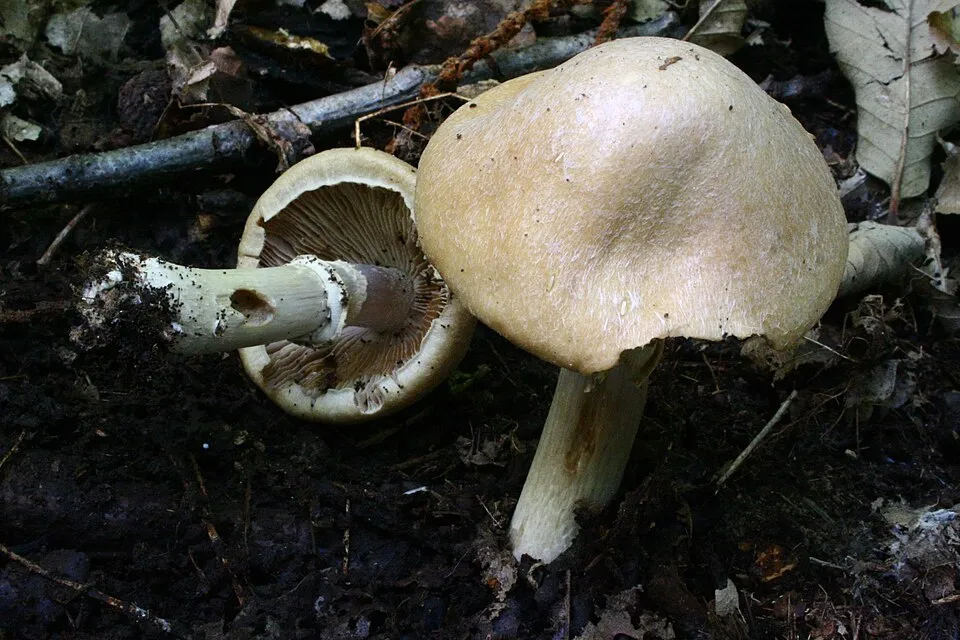
Occurrences documented via GBIF; they are neither an exhaustive inventory nor proof of current presence.
Records: GBIF.org (CC-BY). Names: Wikidata (CC0), GBIF. Photos: Wikimedia Commons.
The primary purpose of the site is to preserve its natural habitats and the biodiversity they support. The species recorded (Biodiversity tab) reflect its ecological value. The designations it holds frame its management and the control of land use.
According to Global Forest Change data (University of Maryland, Global Forest Watch), about 42 ha of tree cover were lost within the boundary between 2001 and 2023, peaking in 2001 and 2002. These losses include logging, storms and fires, and do not account for regrowth. According to CORINE Land Cover, land cover here remained almost unchanged between 2000 and 2018 (less than 0.5% of the area affected). At night, the area gives off virtually no artificial light detectable from space (NASA VIIRS Black Marble composite, 2016). According to the Natura 2000 forms, of 16 assessed habitats of European interest, 10 are in excellent condition and the rest in good condition. According to the Water Framework Directive assessment (2022 river basin management plans, data 2013–2018), 83% of the 91 km of rivers assessed within the site are in good or high ecological status. Other assessed water bodies: lakes, 11 of 20 in good ecological status or better. One invasive alien species has been recorded within the site since 2000 (GBIF observations), listed as of Union concern: Mustela vison (American mink).
42 ha
2001–2023 · < 1% of the area
0
No large fire mapped (fires over about 30 ha)
0%
of the area gives off artificial light visible from space
< 0.5%
of the area changed, 2000–2018 · CORINE
83%
of the 91 km of assessed rivers in good or high ecological status · WFD 2022
Lakes: 11 of 20 good or better
assessments 2013–2018
1
incl. 1 of EU concern · since 2000
Sources: Global Forest Change (Hansen et al., University of Maryland, via Global Forest Watch, CC-BY 4.0); EFFIS, European Commission / Copernicus; NASA Black Marble 2016 (public domain); CORINE Land Cover 2018 (Copernicus) or MODIS.
CORINE Land Cover Change 2000–2018: generated using European Union's Copernicus Land Monitoring Service information (EEA), aggregated by Parkavela; DOI 10.2909/f30f1000-7cf8-43bb-872c-5eb093911b24.
Ecological status of water bodies: European Environment Agency, WISE – Water Framework Directive, 3rd river basin management plans (2022), CC BY 4.0. Official national classification, not comparable between countries.
Invasive alien species: Global Register of Introduced and Invasive Species (ISSG, CC BY 4.0); Union list, Regulation (EU) 1143/2014 (INBO, CC0); GBIF.org records (CC0 / CC BY 4.0), at least 2 per species.
7 public car parks listed within the site
1 waterfall · 18 lakes and ponds · 11 glaciers
7 waymarked routes listed, including:
Data © OpenStreetMap contributors (ODbL) · Wikidata (CC0)
20.1 km within the site ↗ 165 m↘ 76 m 368–458 m
13.7 km within the site ↗ 488 m↘ 496 m 487–942 m
Tracks © OpenStreetMap contributors (ODbL), clipped to the boundary; elevation gain and profiles computed on the longest section from Mapzen Terrain Tiles (≈ 30 m), indicative only.
Nearest airport: Kiruna (KRN), about 76 km away. Visitor information on site: Stora Sjöfallets Naturum Visitor Centre. Public car parks listed within the site: 7, including Rájvogielas. Waymarked hiking routes listed in OpenStreetMap: 7, including Kungsleden Etapp, Padjelantaleden and Gränsleden. To see: 1 waterfall, 18 lakes and ponds and 11 glaciers, including Stora Sjöfallet (415 m), Sliehkkojávrre (788 m), Östra Kallaktjåkkå and Stuodakjávrre (829 m). To plan a visit (access, opening periods, visitor rules), it is best to consult the official information from the managing body (Norrbotten County Administrative Board) and the official website listed in this page's sources.
Source: OpenStreetMap (ODbL), Wikidata (CC0), October 2026.
Mildest period: July and August, with average temperatures of 9 to 12 °C. Average temperatures drop below 0 °C from October to April: frost is common. Precipitation peaks in July (up to 120 mm per month). These averages apply to the site's representative point (749 m); higher up it is markedly cooler and snow lasts longer. According to NASA's MODIS satellites (2015–2025 average), snow covers most of the site from October to May, and until June on higher ground, with about 245 snow-covered days a year on average. In midwinter, too dark for satellite measurements, snow cover is estimated from the neighbouring months. Day length ranges from about 0 h 00 min in December to 24 h 00 min in June. Wildlife records published on GBIF peak for birds (June), plants (July), butterflies and moths (July) and mammals (July). These peaks also reflect when observers are most active.
Source: Copernicus ERA5-Land (C3S), monthly averages 1996–2025 at the representative point, temperatures adjusted for elevation.
Contains modified Copernicus Climate Change Service information 2026. Neither the European Commission nor ECMWF is responsible for any use that may be made of the Copernicus information or data it contains.
Monthly records published on GBIF (CC-BY), relative to the busiest month; also reflects observer activity.
Data © OpenStreetMap contributors (ODbL), Wikidata (CC0) and the sources cited.