
Bird
Silver-beaked Tanager: where to see it
Ramphocelus carbo
This bird species is recorded in 21 protected areas of the atlas. Within the atlas countries, it is observed only in France. Records peak from September to February.
Best time to see it: September–February
Records published on GBIF by month (CC0 and CC BY 4.0 licences only), in the atlas countries, all years combined; they also reflect observer activity.
Key facts
- Clutch size
- 2 eggs Wikidata, after Handbook of the Birds of the World
- Incubation
- 12 days Wikidata, after Handbook of the Birds of the World
Distribution
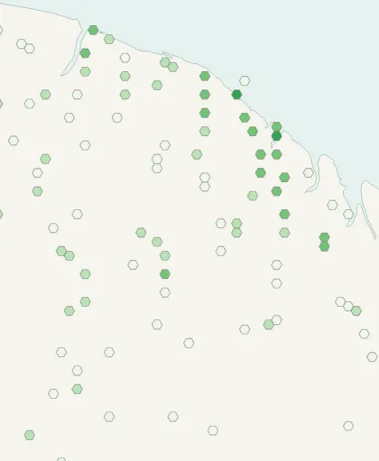
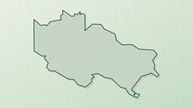
Records published on GBIF (CC0 and CC BY 4.0 licences): the darker the shade, the more records there are; they also reflect observation effort.
Atlas countries where it is recorded
Listen
-
0:41 · © Niels Krabbe · CC BY-SA 4.0 · Wikimedia Commons · Original file
-
0:10 · © Niels Krabbe · CC BY-SA 4.0 · Wikimedia Commons · Original file
From Wikipedia
The silver-beaked tanager (Ramphocelus carbo) is a species of bird in the family Thraupidae, the tanagers and allies. It is found on Trinidad and in every mainland South American country except Chile and Uruguay, though it is recorded in Argentina only as a vagrant.
Source: Wikipedia, article “Silver-beaked tanager” (version of September 30, 2026) · history and authors · licence CC BY-SA 4.0
Protected areas where it is recorded
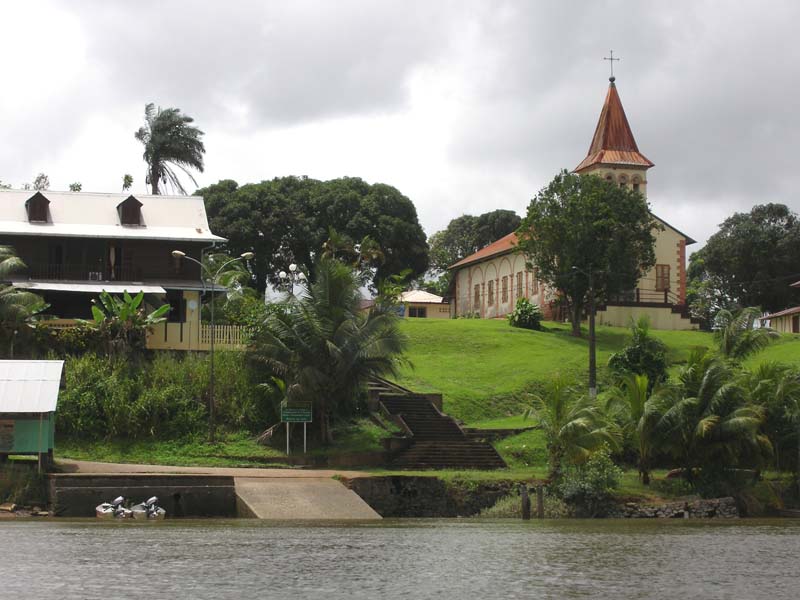
729 records

661 records
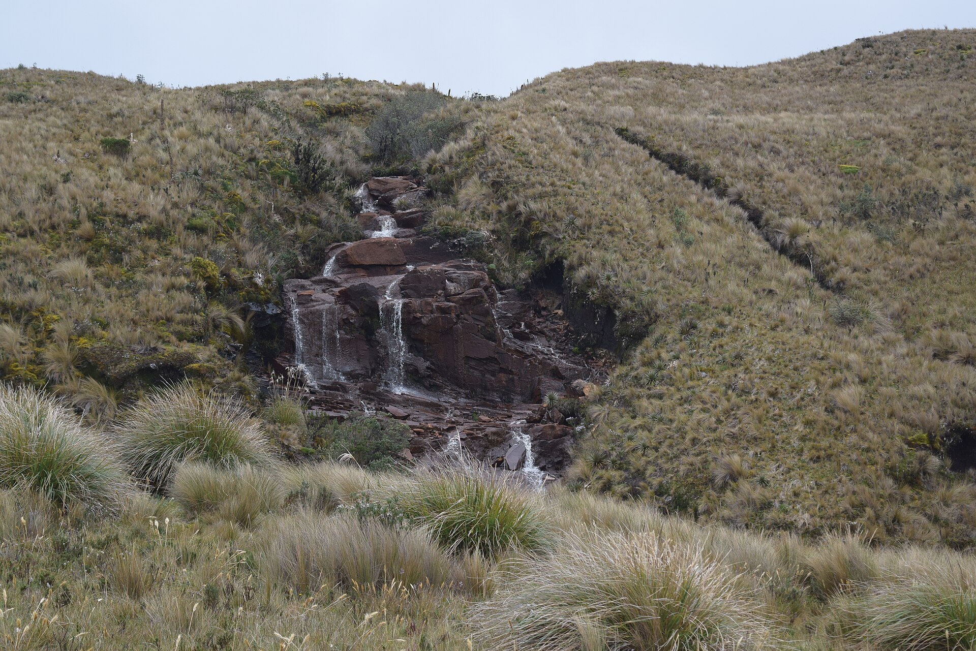
659 records
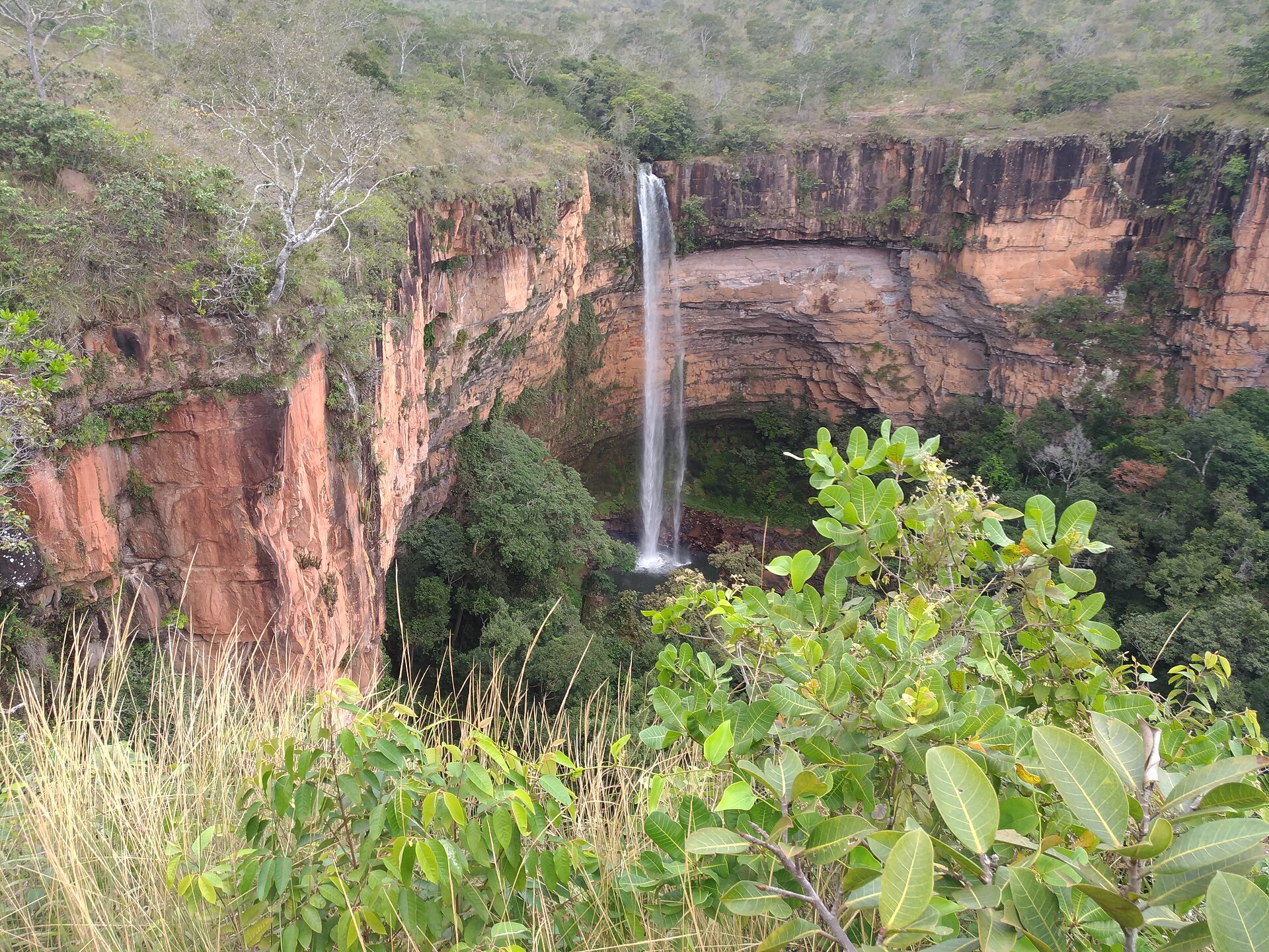
263 records
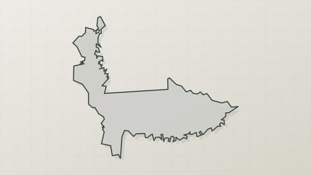
254 records

179 records

170 records

130 records
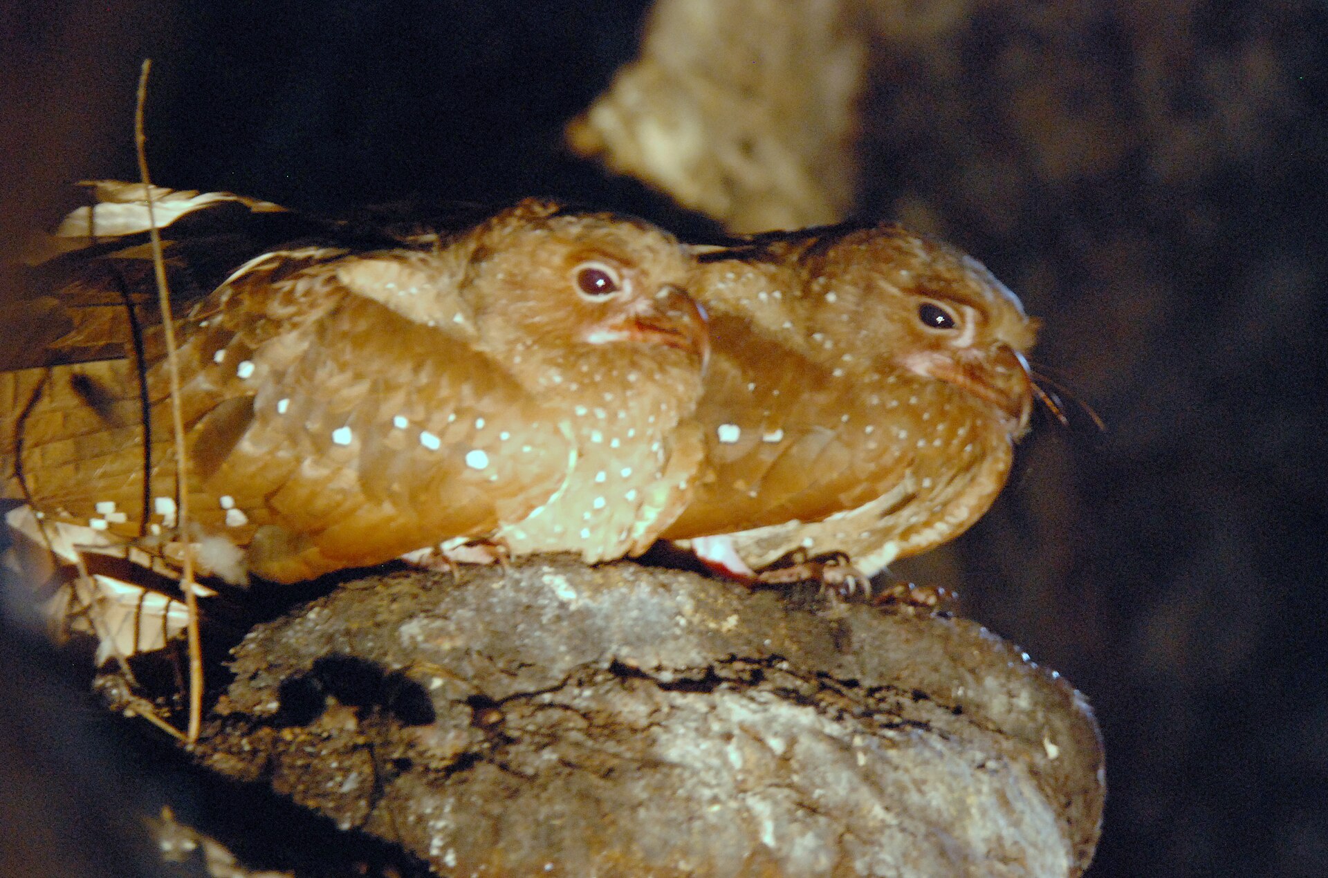
121 records

107 records
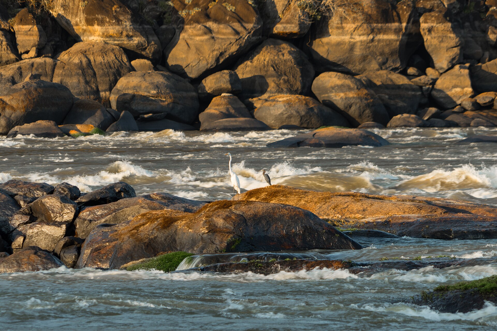
96 records

91 records
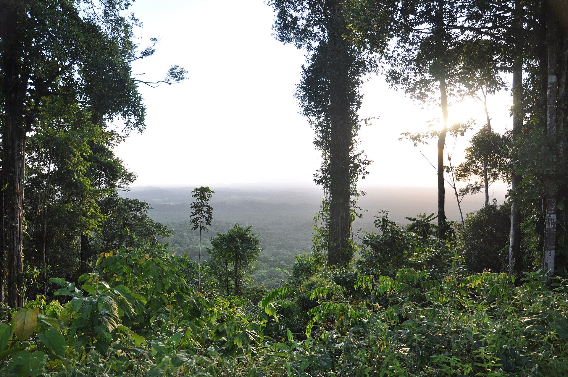
55 records

49 records

49 records

43 records

29 records

23 records
18 records

18 records

4 records
Other species to discover
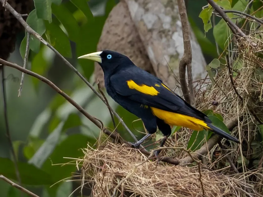 Yellow-rumped Cacique
Cacicus cela 10 places in common
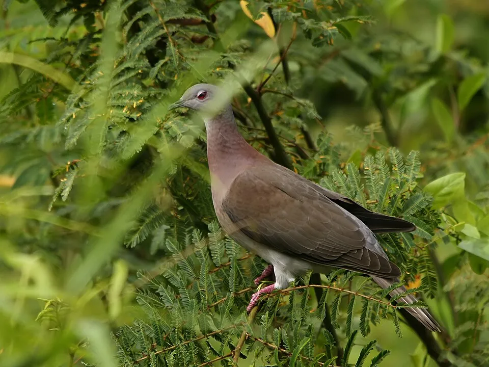 Pale-vented Pigeon
Patagioenas cayennensis 8 places in common
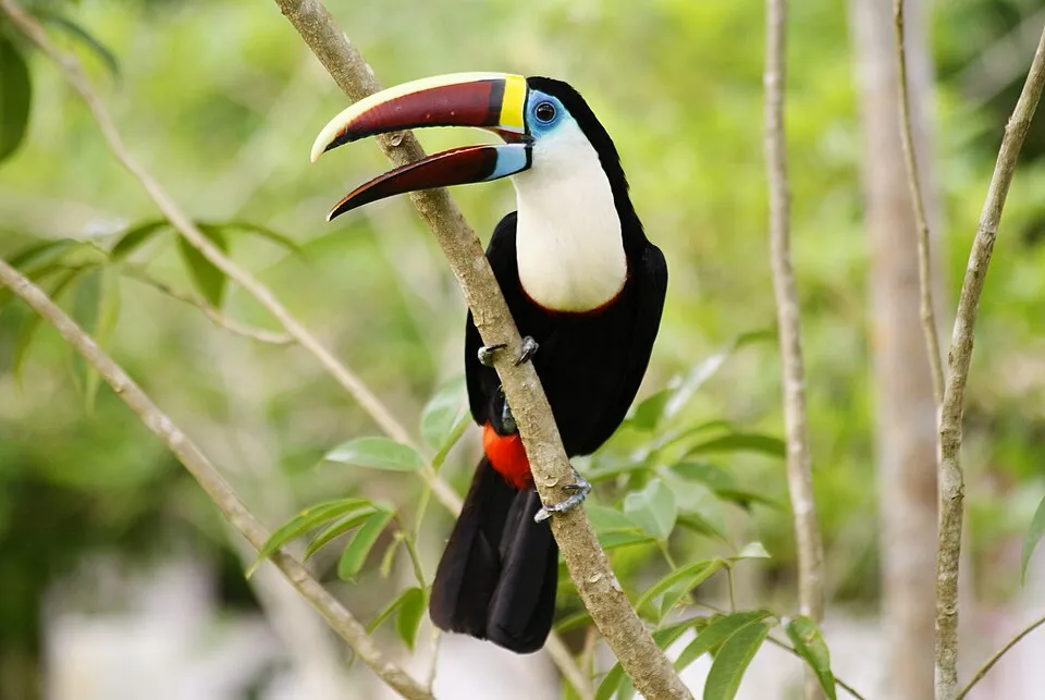 White-throated Toucan
Ramphastos tucanus 11 places in common
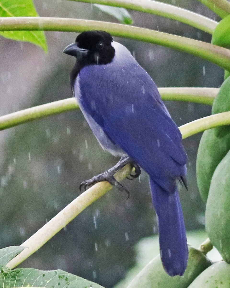 Violaceous Jay
Cyanocorax violaceus 7 places in common
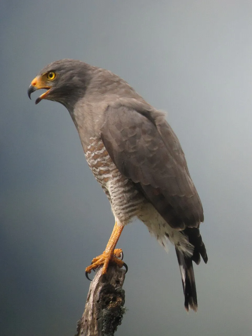 Roadside Hawk
Rupornis magnirostris 13 places in common
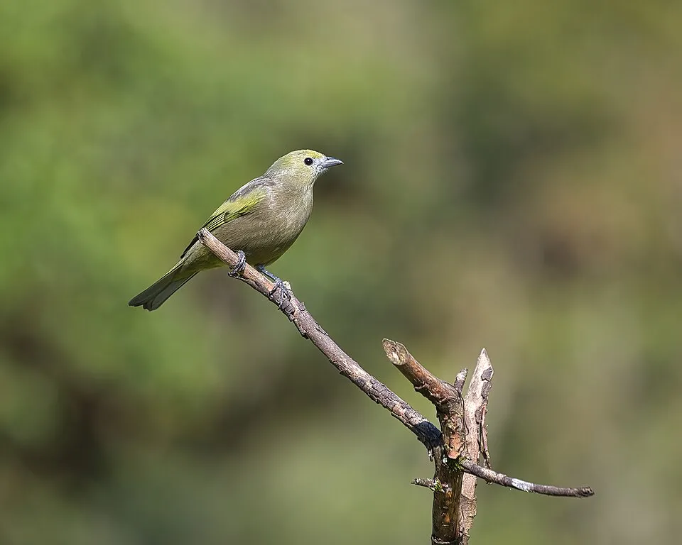 Palm Tanager
Thraupis palmarum 9 places in common
Sources and credits
- Presence: most-recorded species of each place on GBIF and species of Community interest in the Natura 2000 forms (EEA, CC-BY 4.0); absence from the list does not mean the species is absent.
- Common names: Wikidata (CC0) and GBIF.
- Photos and sounds: Wikimedia Commons, author and licence given for each file.
- Classification: GBIF Backbone Taxonomy (GBIF Secretariat), CC BY 4.0, doi:10.15468/39omei.
- Countries, elevations, months and maps: GBIF.org, CC0 or CC BY 4.0 occurrences only, accessed October 22, 2026, GBIF.org.
- Base map: Natural Earth (public domain).
- Excerpt: Wikipedia, CC BY-SA 4.0 (full credit below the excerpt).
- Key facts: Wikidata (CC0), with the references cited under each value.