
Bird
Palm Tanager: where to see it
Thraupis palmarum
This bird species is recorded in 24 protected areas of the atlas. Within the atlas countries, it is observed only in France. Records peak from September to May.
Best time to see it: September–May
Records published on GBIF by month (CC0 and CC BY 4.0 licences only), in the atlas countries, all years combined; they also reflect observer activity.
Key facts
- Clutch size
- 2 eggs Wikidata, after Handbook of the Birds of the World
- Incubation
- 14 days Wikidata, after Handbook of the Birds of the World
Distribution
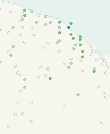
Records published on GBIF (CC0 and CC BY 4.0 licences): the darker the shade, the more records there are; they also reflect observation effort.
Atlas countries where it is recorded
Listen
-
0:19 · © Niels Krabbe · CC BY-SA 4.0 · Wikimedia Commons · Original file
-
0:36 · © Niels Krabbe · CC BY-SA 3.0 · Wikimedia Commons · Original file
From Wikipedia
The palm tanager (Thraupis palmarum) is a medium-sized passerine bird. This tanager is a resident breeder from Nicaragua south to Bolivia, Paraguay, and southern Brazil. It also breeds on Trinidad and, since 1962, on Tobago. In Trinidad and Tobago, it is known by colloquial names such as the "palmiste," on American Spanish countries (Colombian pron: "pūlmist"), Brazil Pipira-verde, and the "green jean" in American English.
Source: Wikipedia, article “Palm tanager” (version of November 5, 2025) · history and authors · licence CC BY-SA 4.0
Protected areas where it is recorded
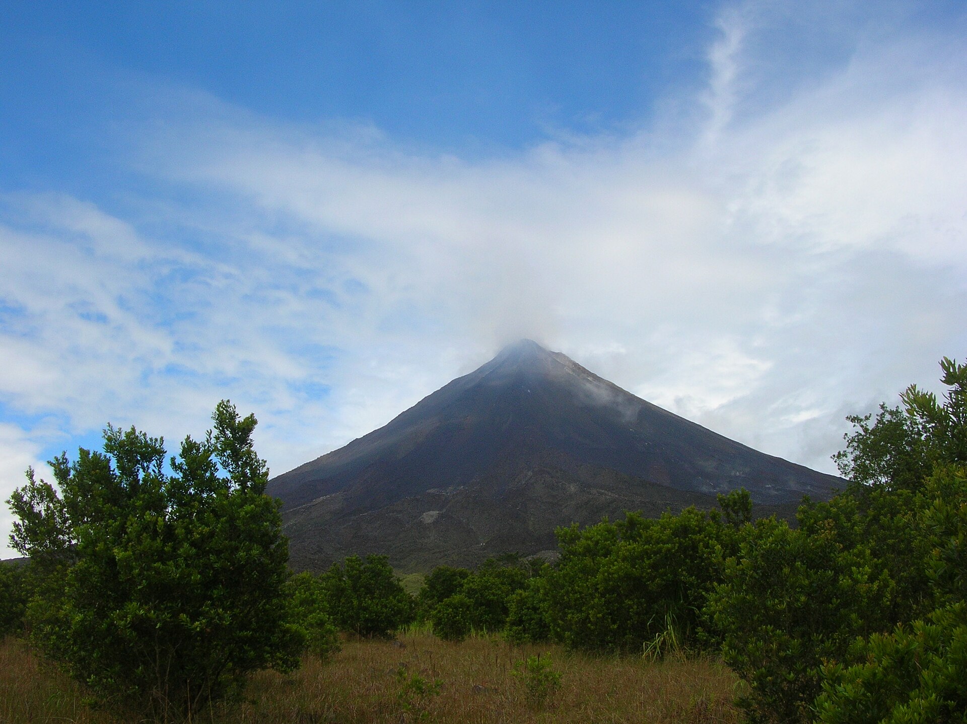
14,356 records
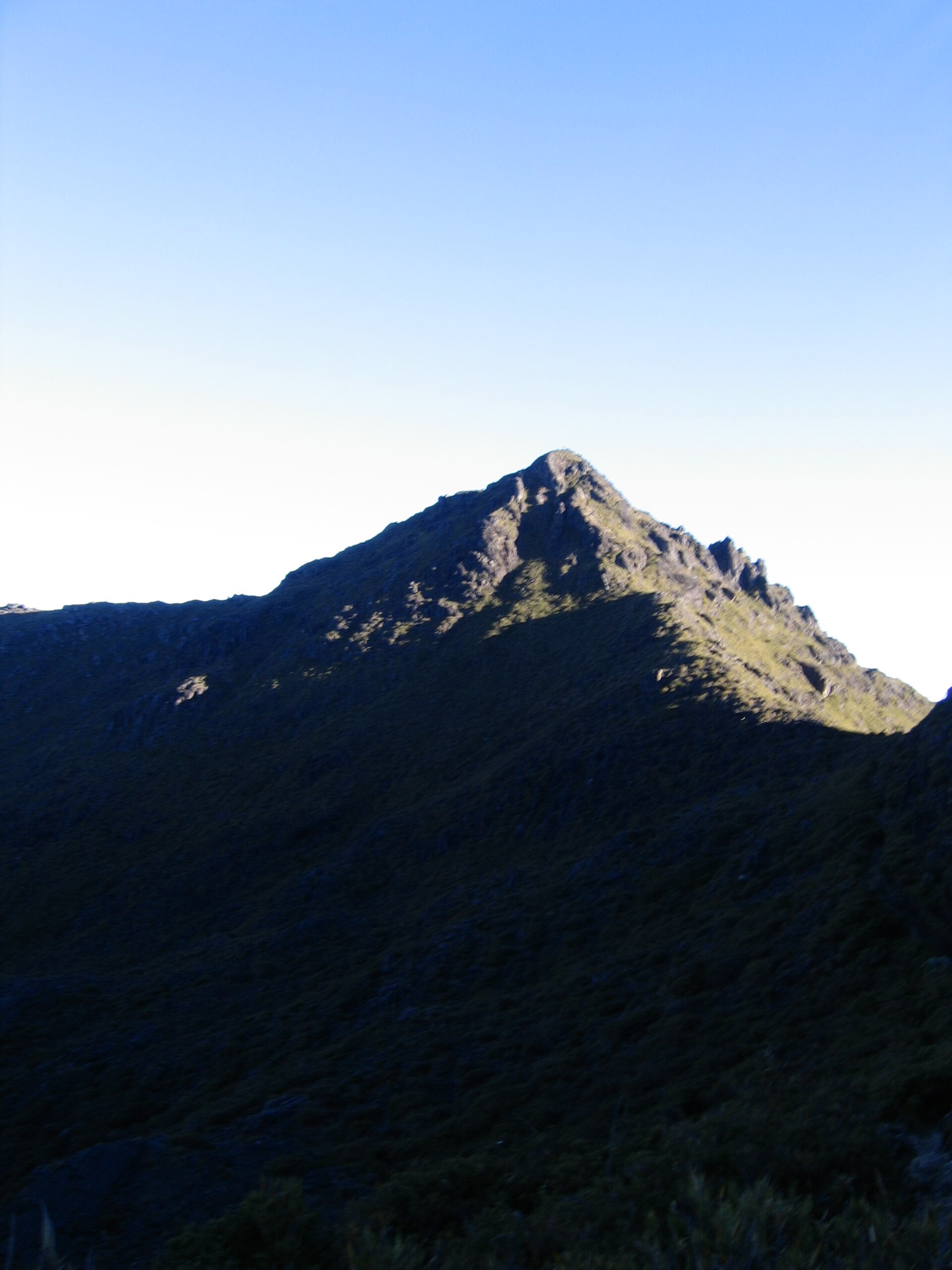
2,778 records

1,259 records
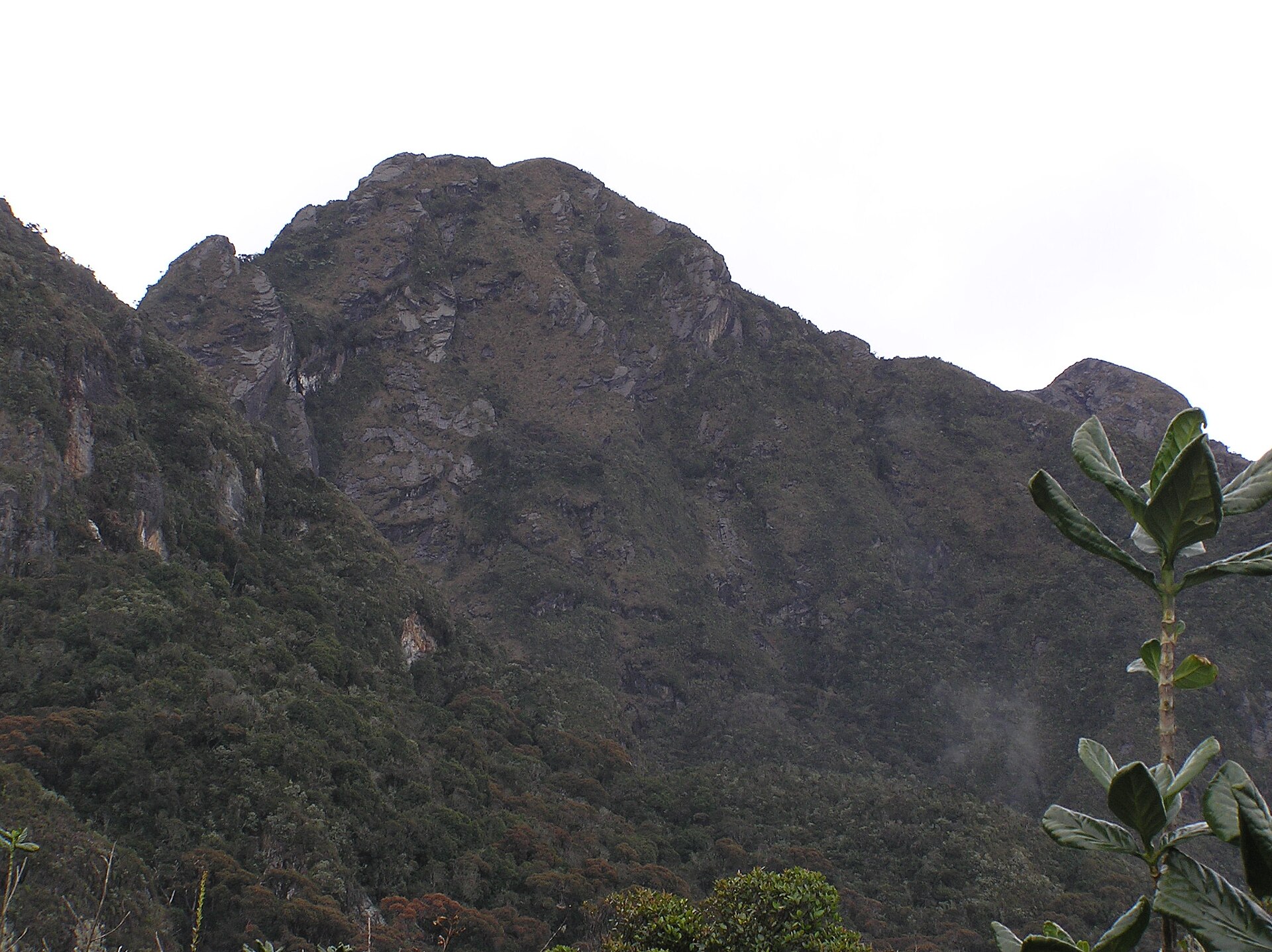
838 records

652 records

629 records
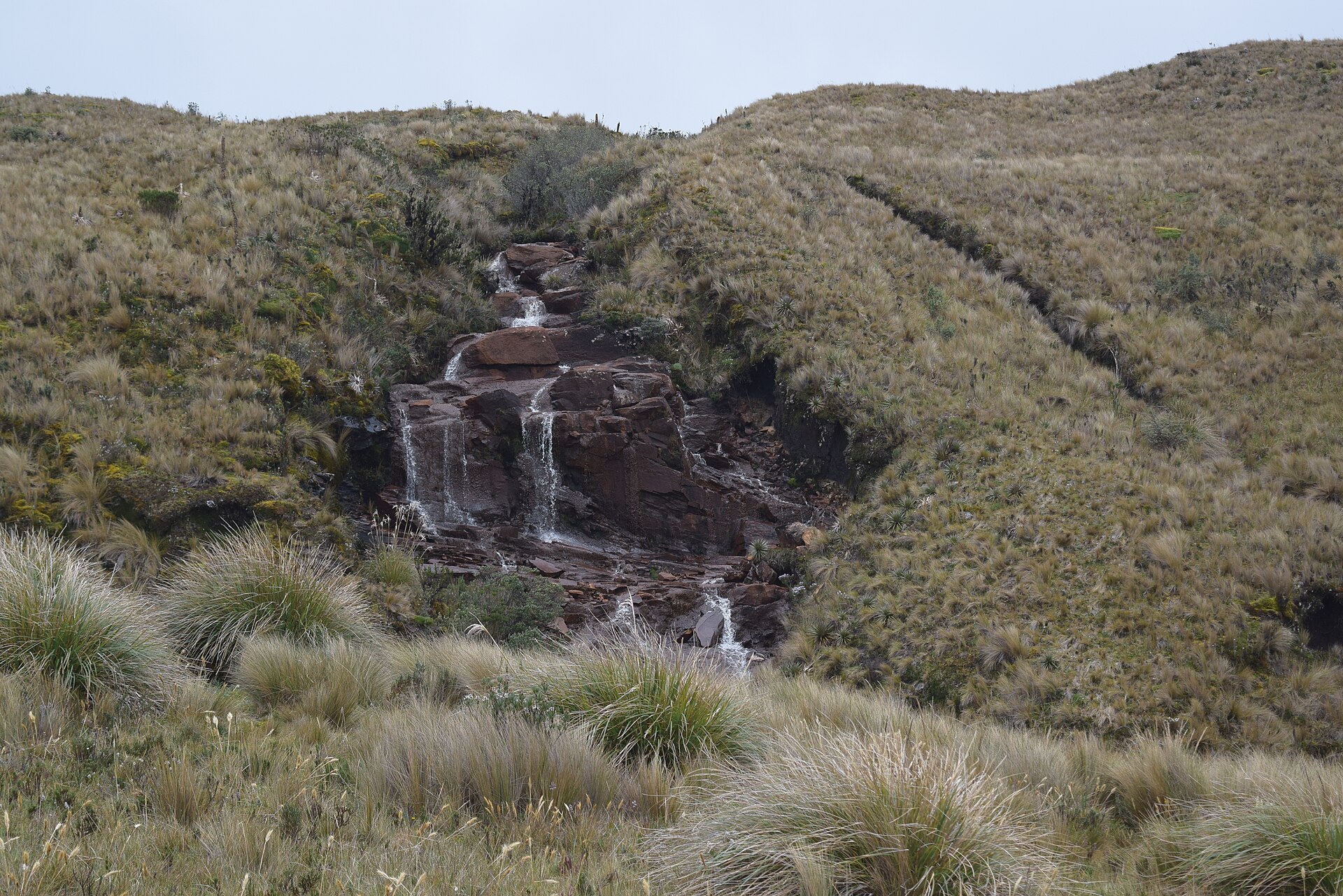
584 records

514 records
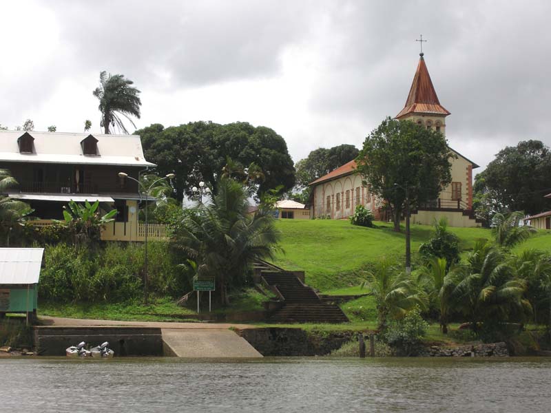
430 records

348 records

332 records
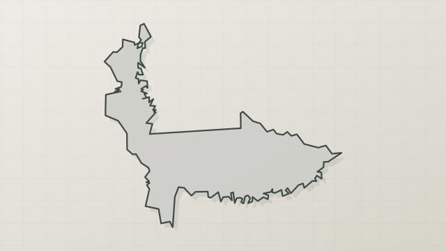
317 records
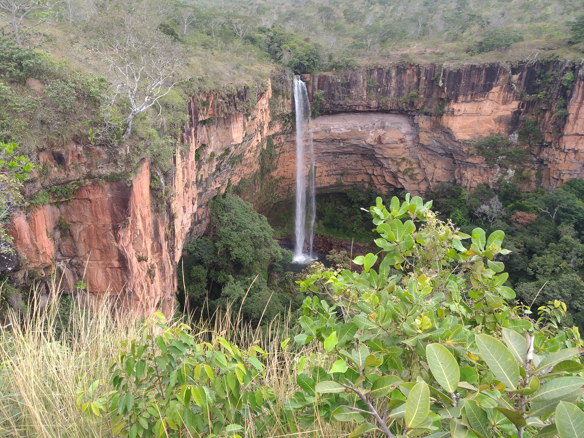
301 records

282 records
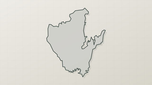
109 records
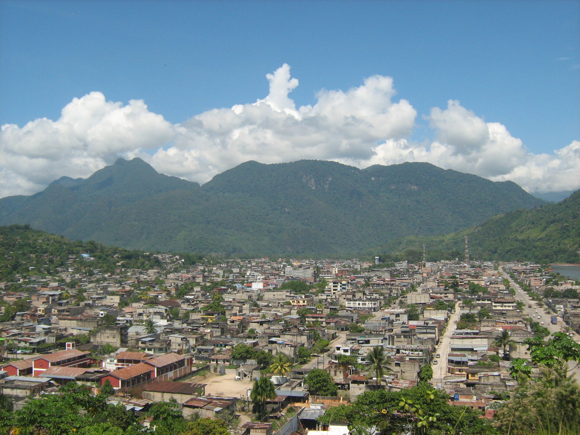
82 records
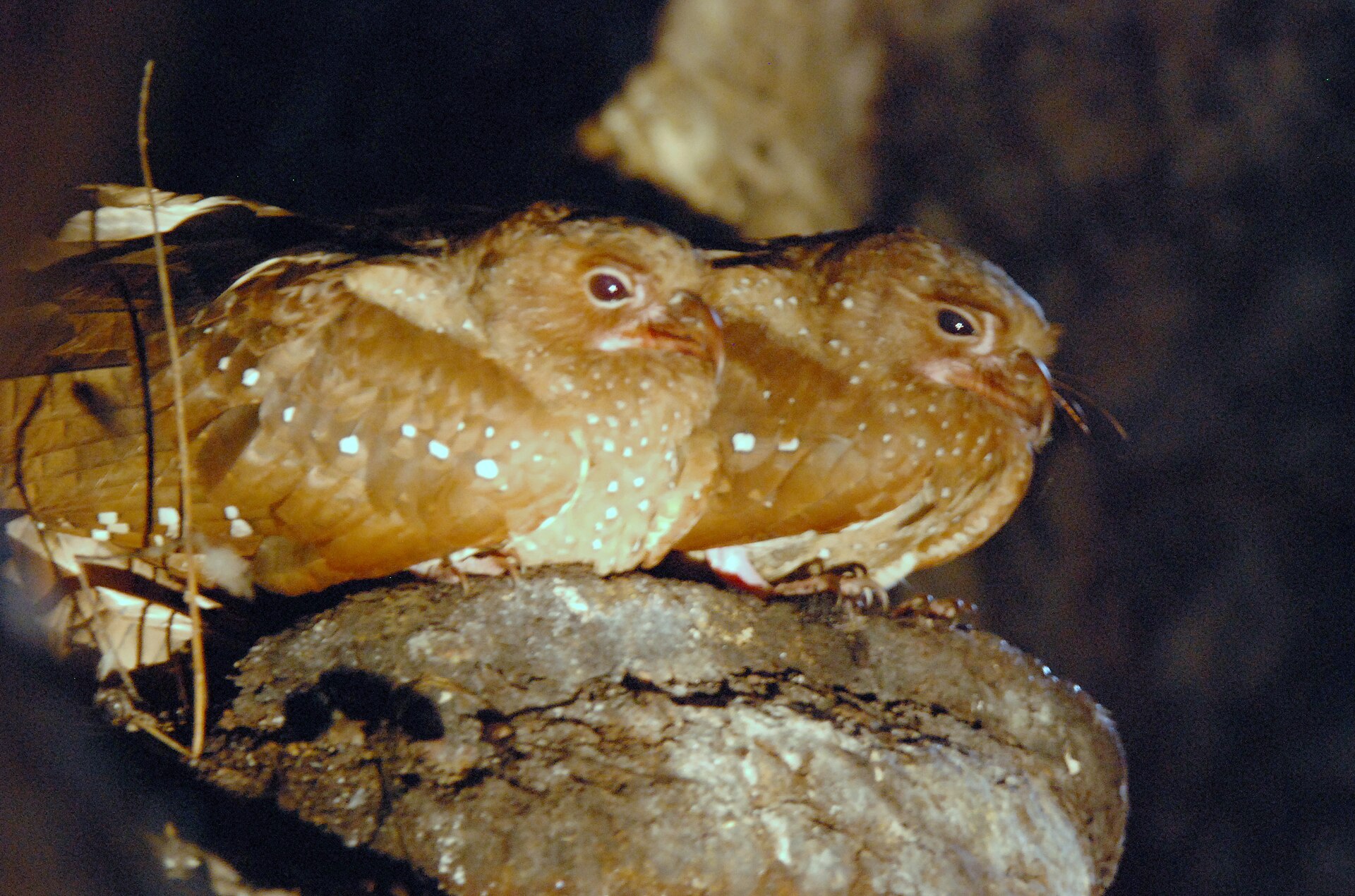
71 records
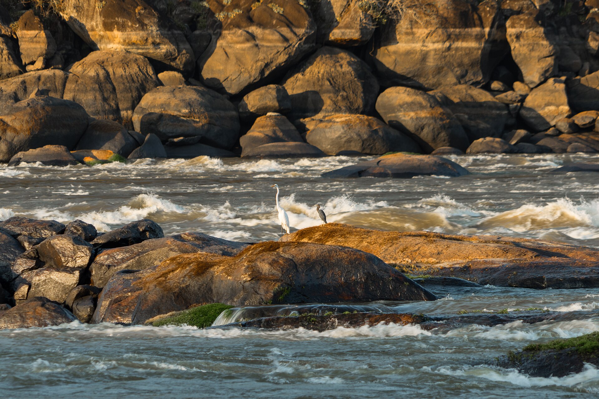
70 records
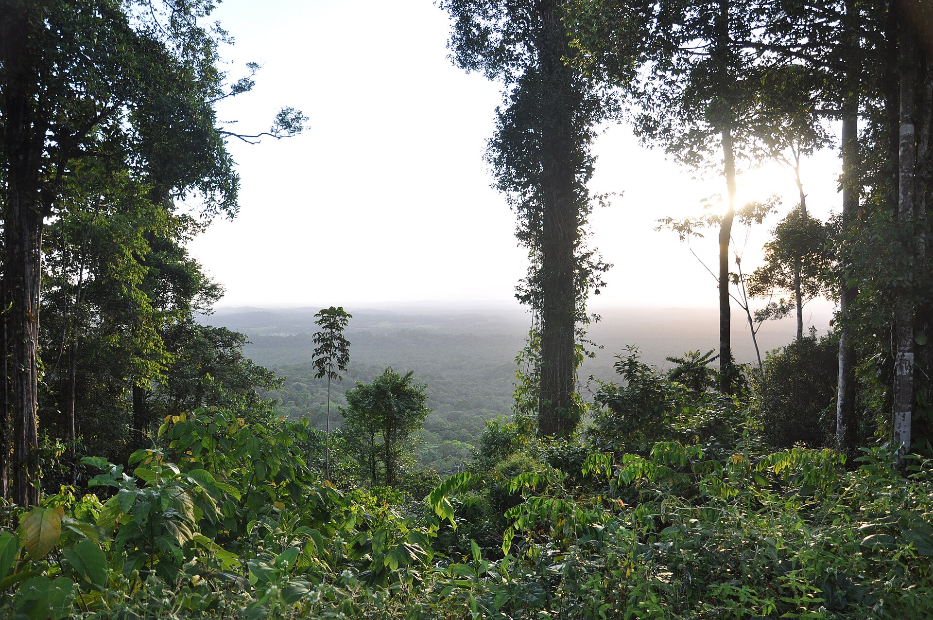
49 records
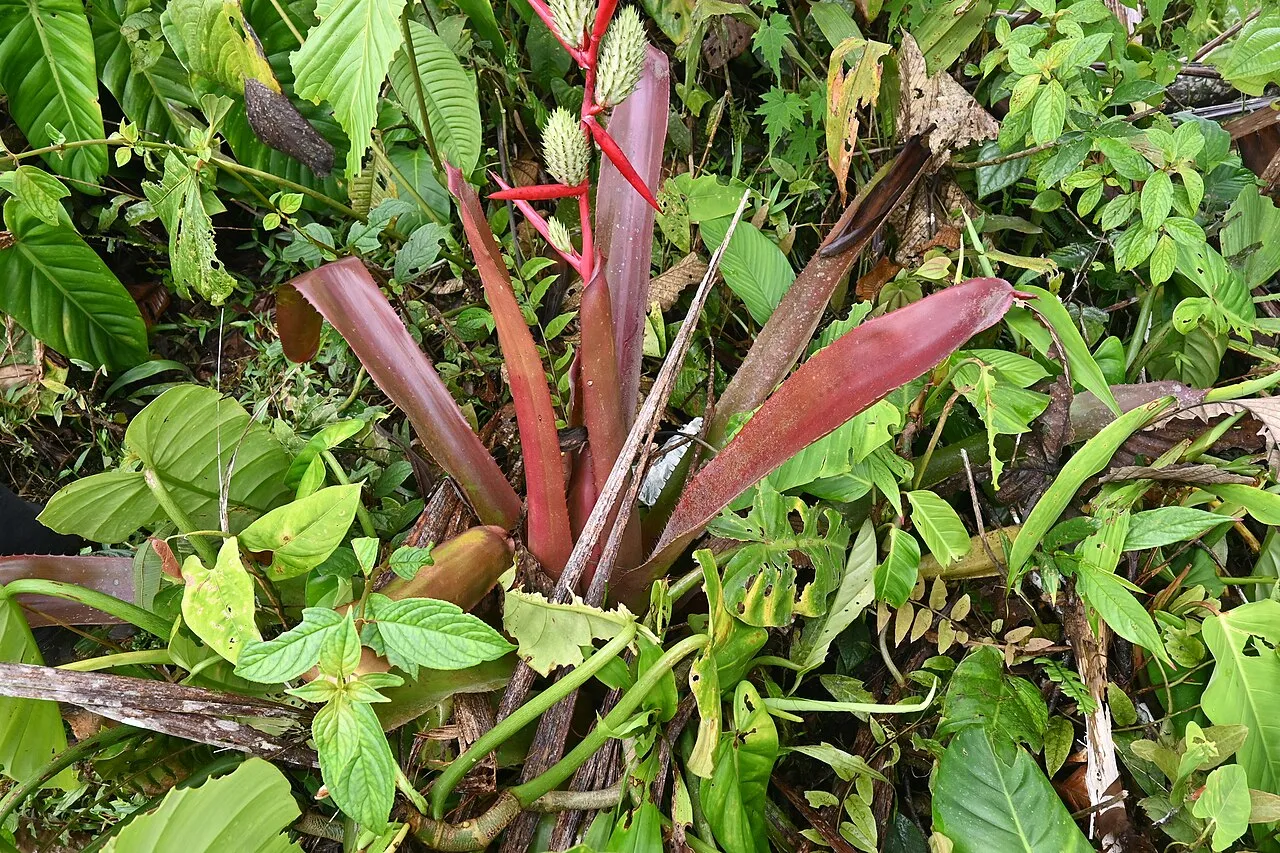
33 records

32 records

31 records

26 records
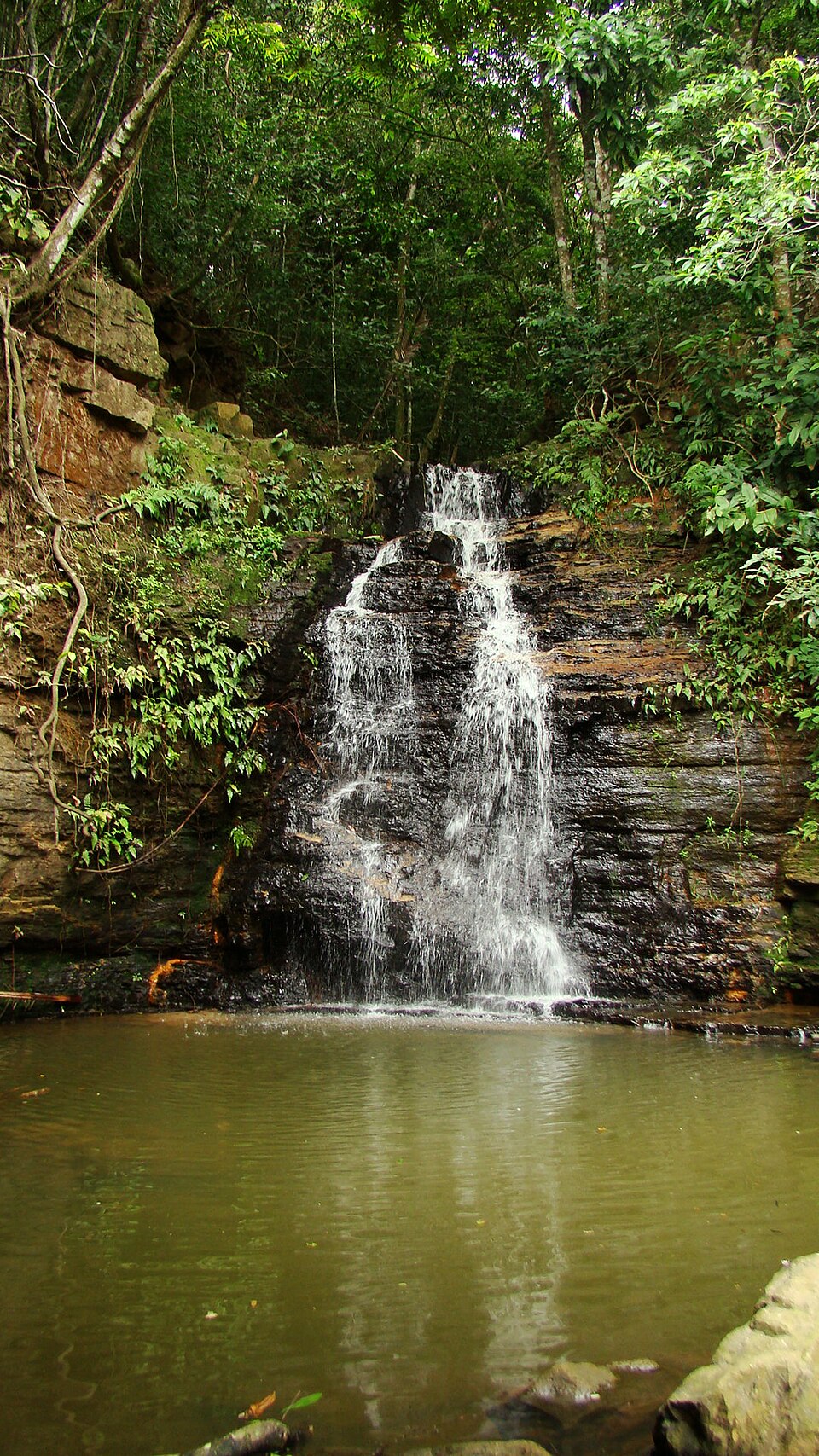
22 records
Other species to discover
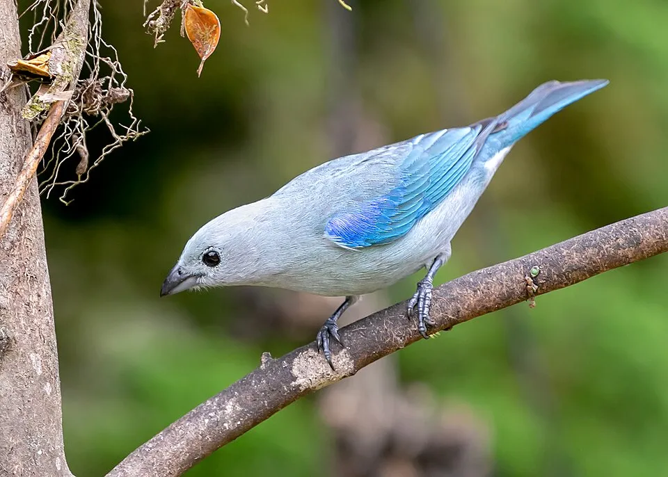 Blue-grey Tanager
Thraupis episcopus Same genus
 Bananaquit
Coereba flaveola 16 places in common
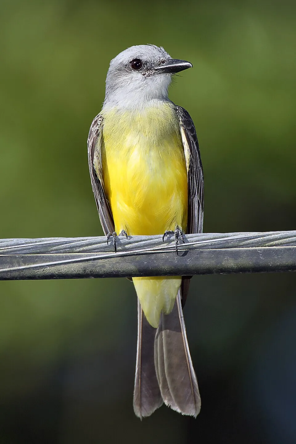 Tropical Kingbird
Tyrannus melancholicus 20 places in common
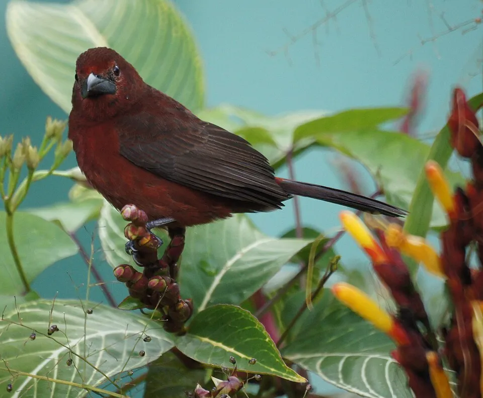 Silver-beaked Tanager
Ramphocelus carbo 9 places in common
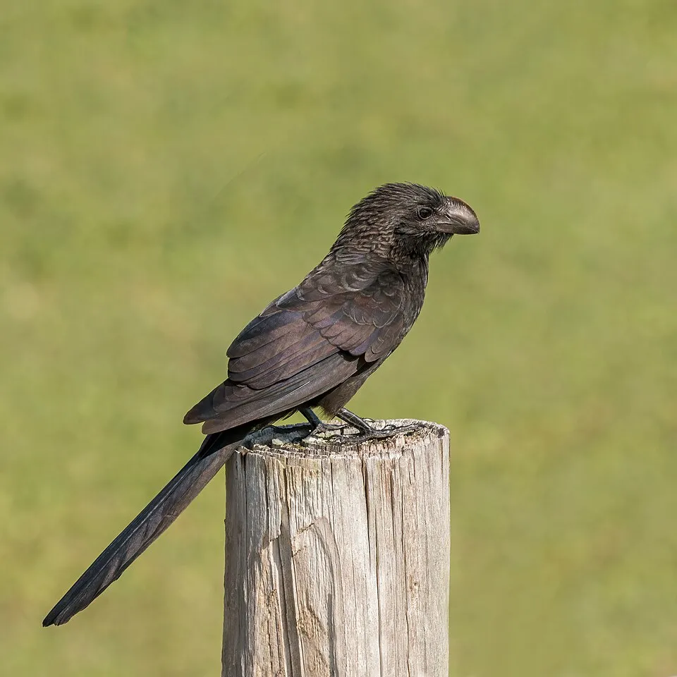 Smooth-billed Ani
Crotophaga ani 7 places in common
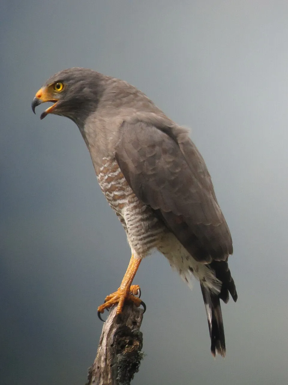 Roadside Hawk
Rupornis magnirostris 11 places in common
Sources and credits
- Presence: most-recorded species of each place on GBIF and species of Community interest in the Natura 2000 forms (EEA, CC-BY 4.0); absence from the list does not mean the species is absent.
- Common names: Wikidata (CC0) and GBIF.
- Photos and sounds: Wikimedia Commons, author and licence given for each file.
- Classification: GBIF Backbone Taxonomy (GBIF Secretariat), CC BY 4.0, doi:10.15468/39omei.
- Countries, elevations, months and maps: GBIF.org, CC0 or CC BY 4.0 occurrences only, accessed October 22, 2026, GBIF.org.
- Base map: Natural Earth (public domain).
- Excerpt: Wikipedia, CC BY-SA 4.0 (full credit below the excerpt).
- Key facts: Wikidata (CC0), with the references cited under each value.