Brazil · Terrestrial
Monte Pascoal National Park
National park of 13,873 hectares in Brazil, established in 1961.
Overview
National park of 13,873 hectares in Brazil, established in 1961.
Monte Pascoal National Park is located in Brazil (South America). It is a predominantly terrestrial area. Established in 1961, it covers about 13,873 hectares.
Protections and designations
UNESCO World Heritage
Protected as a national park. International labels and designations: UNESCO World Heritage (“Discovery Coast Atlantic Forest Reserves”). Key dates: established in 1961 and World Heritage listing in 1999.
In our collections
Timeline
-
1961
Established
-
1999
Inscribed as a UNESCO World Heritage Site Discovery Coast Atlantic Forest Reserves
Sources: Wikidata (CC0) for establishment and international labels; EEA Natura 2000 database (CC-BY 4.0) for site designation dates.
Frequently asked questions
Where is Monte Pascoal National Park?
In Brazil (South America). Representative point: 16.8642° S, 39.2708° W.
How large is Monte Pascoal National Park?
About 13,873 hectares (139 km²). It is the 60th largest of the 74 national parks in Brazil covered by Parkavela.
When was Monte Pascoal National Park established?
In 1961.
What habitats and landscapes does Monte Pascoal National Park include?
A terrestrial area, with forests.
What is the highest point of Monte Pascoal National Park?
Monte Pascoal, at 536 m (OpenStreetMap).
Which international labels apply to Monte Pascoal National Park?
UNESCO World Heritage (“Discovery Coast Atlantic Forest Reserves”).
When is the best time to visit Monte Pascoal National Park?
Best time to visit: the dry season, August and September, with less than 70 mm of rain per month.
What is the nearest large city to Monte Pascoal National Park?
Nearest towns of over 50,000 people, as the crow flies: Porto Seguro (40 km) and Eunápolis (55 km). Nearest airport: Porto Seguro (BPS), about 41 km away.
Which species can be seen in Monte Pascoal National Park?
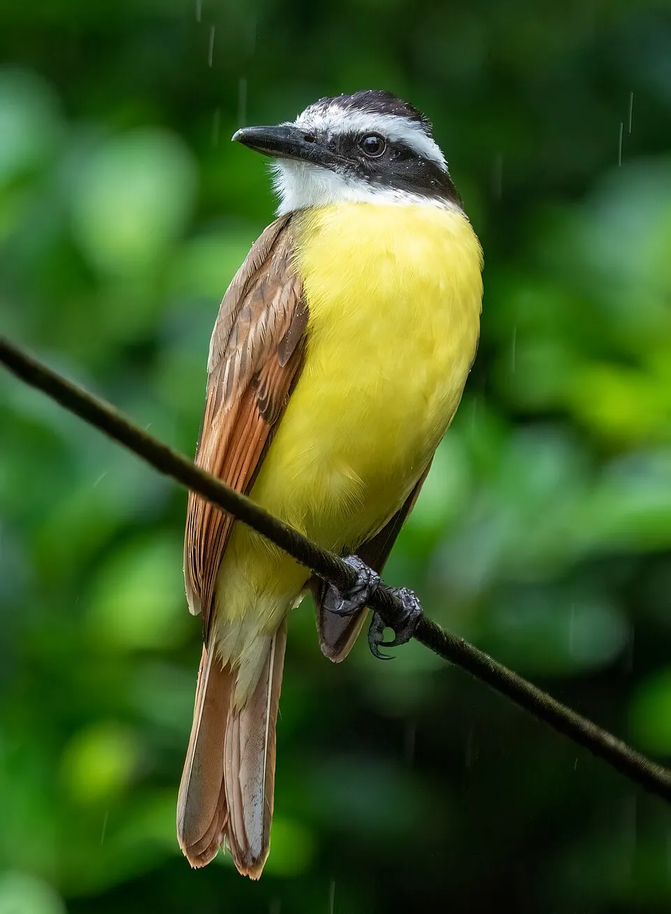
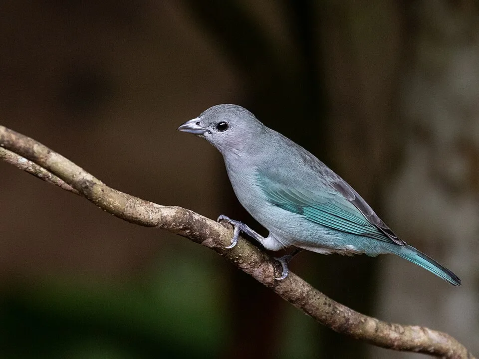
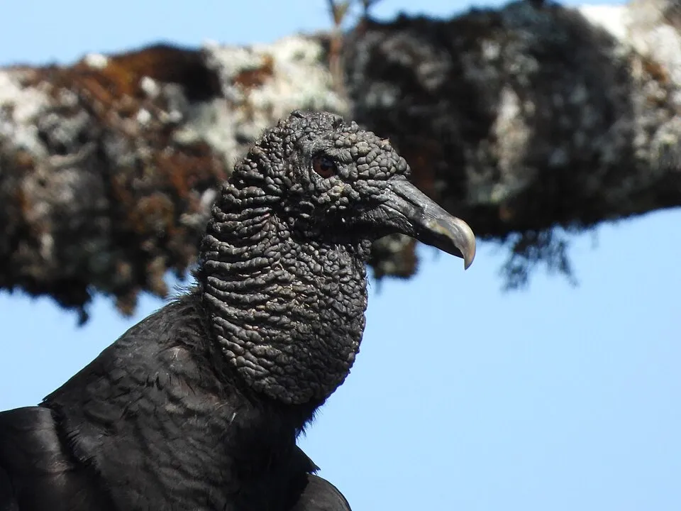
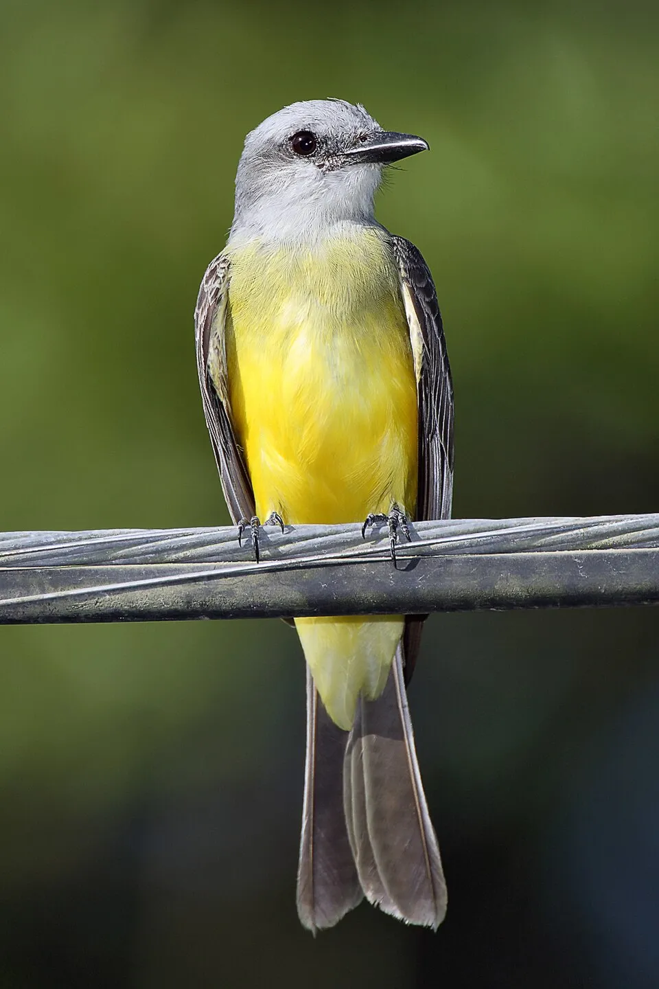
Among the species most often recorded on GBIF are Pitangus sulphuratus (Great Kiskadee), Thraupis sayaca (Sayaca Tanager), Coragyps atratus (Black Vulture) and Tyrannus melancholicus (Tropical Kingbird).
© OpenStreetMap
Download the boundary: GeoJSON · GPX Boundary © OpenStreetMap contributors (ODbL).
Geography
The representative point of the site lies at around 55 m above sea level. Over the 1996–2025 period, the mean annual temperature is about 24.2 °C and total precipitation reaches roughly 1,128 mm per year. The warmest month is usually February, the coolest July, and the wettest November.
Area
- Area
- 13,873 ha
- Elevation
- 55 m
- Median elevation
- 43 m
- Mean slope
- 5°
- Coordinates
- -16.8642, -39.2708
Terrain: Mapzen Terrain Tiles (SRTM, USGS)
Climate
● Mean temperature (°C) · ▮ Precipitation (mm)
Source: Copernicus ERA5-Land (C3S, doi:10.24381/cds.68d2bb30), monthly averages 1996–2025 interpolated to the representative point, temperatures adjusted for elevation.
Contains modified Copernicus Climate Change Service information 2026. Neither the European Commission nor ECMWF is responsible for any use that may be made of the Copernicus information or data it contains.
Natural habitats
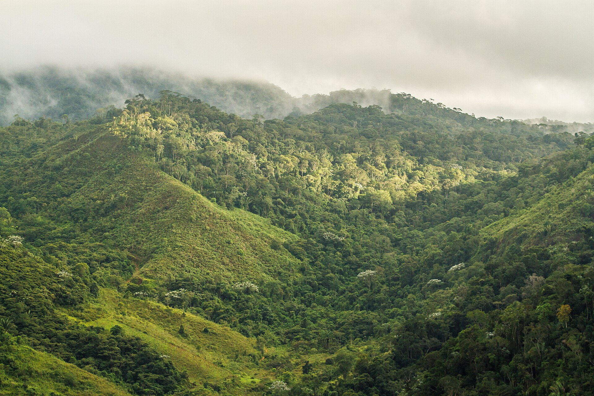
According to the global MODIS land cover (NASA, 2024), the site is mainly made up of grassland and meadows (50%), forests (43%) and heath and scrub (6%). It is mostly dense evergreen broadleaved forest. Elevation ranges from sea level to 536 m (highest point: Monte Pascoal).
Biodiversity
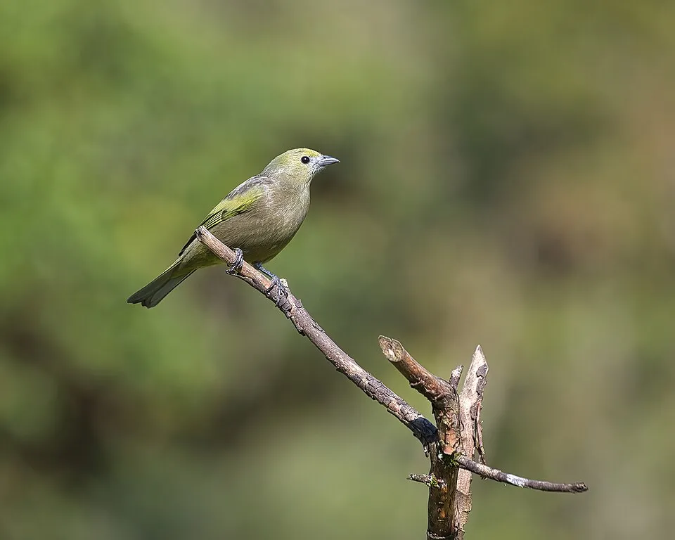
Based on occurrences aggregated by GBIF, several species are regularly recorded within the site. Among the most frequent are Pitangus sulphuratus (Great Kiskadee), Thraupis sayaca (Sayaca Tanager), Coragyps atratus (Black Vulture) and Tyrannus melancholicus (Tropical Kingbird). The full list of documented taxa is shown below.
Species to look out for

Observed species
Occurrences documented via GBIF; they are neither an exhaustive inventory nor proof of current presence.
- Great Kiskadee · Pitangus sulphuratus · 43
- Sayaca Tanager · Thraupis sayaca · 37
- Black Vulture · Coragyps atratus · 36
- Tropical Kingbird · Tyrannus melancholicus · 35
- Rufous-bellied Thrush · Turdus rufiventris · 33
- Palm Tanager · Thraupis palmarum · 31
- Saffron Finch · Sicalis flaveola · 28
- Bananaquit · Coereba flaveola · 28
- Red-rumped Cacique · Cacicus haemorrhous · 27
- Tropical Mockingbird · Mimus gilvus · 26
- Scleria latifolia · 25
- House Sparrow · Passer domesticus · 24
+18 more species
- Boat-billed Flycatcher · Megarynchus pitangua · 21
- Guatteria australis · 21
- Peach-fronted Parakeet · Aratinga aurea · 20
- Grey-breasted Martin · Progne chalybea · 20
- Scaled Dove · Columbina squammata · 20
- Palicourea dichotoma · 20
- Pale-breasted Thrush · Turdus leucomelas · 19
- Guatteria pogonopus · 18
- Psychotria pedunculosa · 17
- Venezuelan Troupial · Icterus icterus · 17
- Social Flycatcher · Myiozetetes similis · 16
- Rufous Hornero · Furnarius rufus · 16
- American black nightshade · Solanum americanum · 16
- Comolia ovalifolia · 16
- Striped Manakin · Machaeropterus regulus · 15
- Masked Water Tyrant · Fluvicola nengeta · 15
- Violaceous Euphonia · Euphonia violacea · 14
- Smooth-billed Ani · Crotophaga ani · 14
Records: GBIF.org (CC-BY). Names: Wikidata (CC0), GBIF. Photos: Wikimedia Commons.
Conservation challenges
The primary purpose of the site is to preserve its natural habitats and the biodiversity they support. The species recorded (Biodiversity tab) reflect its ecological value. The designations it holds frame its management and the control of land use.
According to Global Forest Change data (University of Maryland, Global Forest Watch), about 1,760 ha of tree cover were lost within the boundary between 2001 and 2023 (13% of its area), peaking in 2010 and 2016. These losses include logging, storms and fires, and do not account for regrowth. At night, the area gives off virtually no artificial light detectable from space (NASA VIIRS Black Marble composite, 2016).
Pressure indicators
Tree cover lost
1,763 ha
2001–2023 · 13% of the area
20012023
Light at night
< 1%
of the area gives off artificial light visible from space
DarkLit
Invasive alien species
2
recorded since 2000
 House Sparrow
 Buzzy lizzy
Photos: House Sparrow © Diliff · CC BY-SA 3.0; Buzzy lizzy © Thegreenj · CC BY-SA 3.0
Sources: Global Forest Change (Hansen et al., University of Maryland, via Global Forest Watch, CC-BY 4.0); EFFIS, European Commission / Copernicus; NASA Black Marble 2016 (public domain); CORINE Land Cover 2018 (Copernicus) or MODIS.
Invasive alien species: Global Register of Introduced and Invasive Species (ISSG, CC BY 4.0); Union list, Regulation (EU) 1143/2014 (INBO, CC0); GBIF.org records (CC0 / CC BY 4.0), at least 2 per species.
Practical information
Cities and airport
- Porto Seguro
40 km as the crow flies - Eunápolis
55 km as the crow flies - Airport: Porto Seguro (BPS)
41 km as the crow flies
Data © OpenStreetMap contributors (ODbL) · Wikidata (CC0)
Access and visiting
Nearest towns of over 50,000 people, as the crow flies: Porto Seguro (40 km) and Eunápolis (55 km). Nearest airport: Porto Seguro (BPS), about 41 km away. About 57,000 people live within 20 km of the site boundary, 7,000 of them within 10 km; some 2,200 people are estimated to live inside (GHSL estimate, 2020). To plan a visit (access, opening periods, visitor rules), it is best to consult the official information from the managing body and the official website listed in this page's sources.
Source: OpenStreetMap (ODbL), Wikidata (CC0), November 2026.
When to visit
Best time to visit: the dry season, August and September, with less than 70 mm of rain per month. Precipitation peaks in November (up to 160 mm per month). Day length ranges from about 11 h 08 min in June to 13 h 08 min in December. Wildlife records published on GBIF peak for birds (January), plants (September) and butterflies and moths (May). These peaks also reflect when observers are most active.
Source: Copernicus ERA5-Land (C3S), monthly averages 1996–2025 at the representative point, temperatures adjusted for elevation.
Contains modified Copernicus Climate Change Service information 2026. Neither the European Commission nor ECMWF is responsible for any use that may be made of the Copernicus information or data it contains.
Wildlife records calendar
JFMAMJJASOND
Birds
Plants
Butterflies & moths
Monthly records published on GBIF (CC-BY), relative to the busiest month; also reflects observer activity.
Gallery
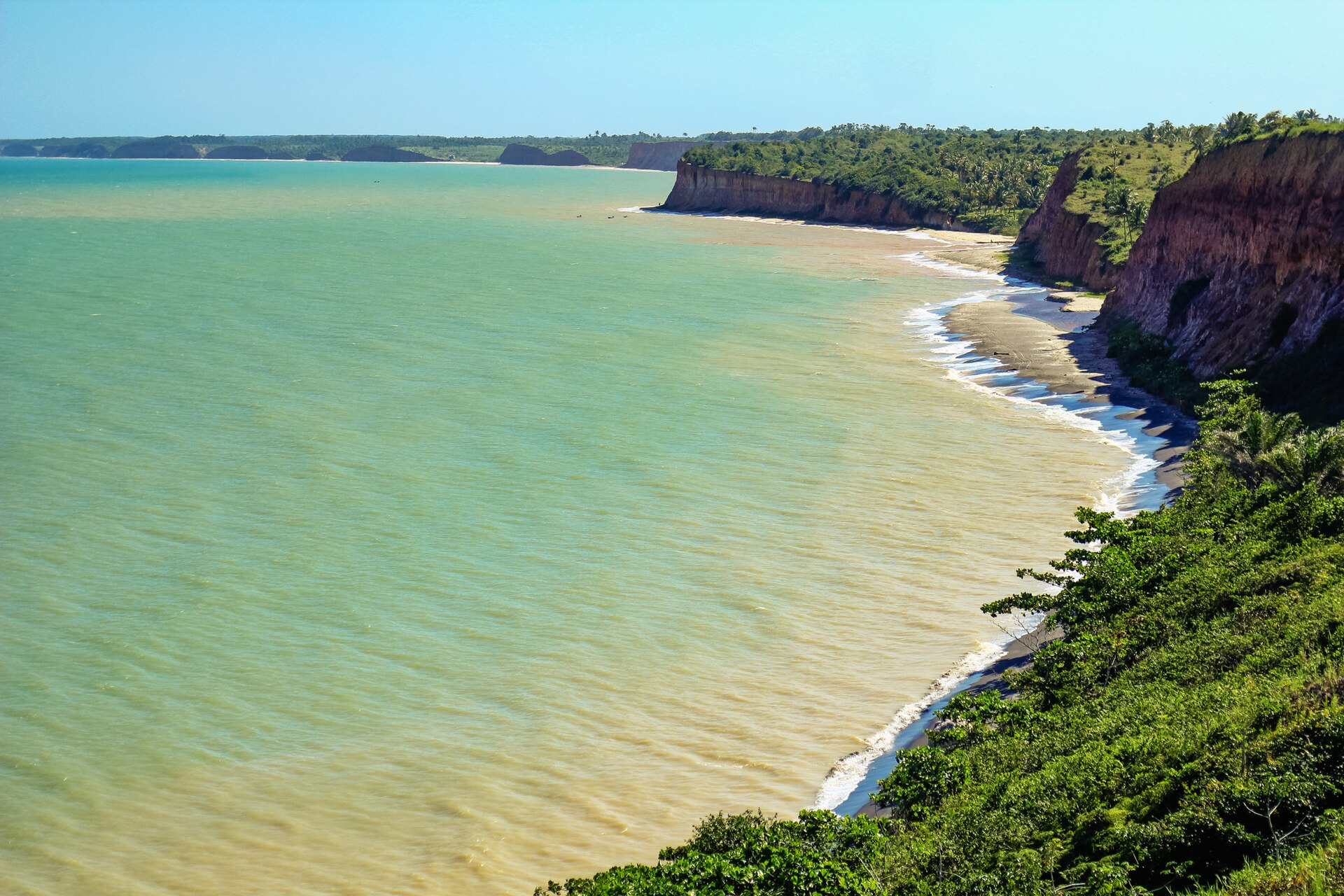
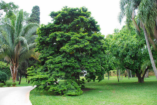
© Mário C. Bucci · CC BY-SA 2.0
© Daniel Souza Lima · CC BY-SA 3.0
© Chewbacca · CC BY 2.0
© Heris Luiz Cordeiro Rocha · CC BY-SA 3.0
© Mário C. Bucci · CC BY-SA 2.0
© Chewbacca · CC BY 2.0
Sources and licences
- Wikidata: Q10345249
- OpenStreetMap: relation 2634132
- Wikipedia: en.wikipedia.org/wiki/Monte_Pascoal_National_Park
- WDPA: 68
References
- cds.climate.copernicus.eu: climate · CC-BY-4.0
- registry.opendata.aws: elevation of the reference point, detailed relief · PD
- lpdaac.usgs.gov: land cover · PD
- doi.org: population around the site · CC-BY-4.0
- naturalearthdata.com: sea share · PD
- wikidata.org: official area, establishment date, protected heritage, official name, nearby cities and airport, access and peaks, lake depths, places to see · CC0-1.0
- en.eurovelo.com: EuroVelo cycle routes · ODbL-1.0
- cycling.waymarkedtrails.org: cycle routes · ODbL-1.0
- opentopodata.org: elevations · PD
- globalforestwatch.org: tree cover loss · CC-BY-4.0
- gbif.org: seasonality of sightings, invasive alien species, observed species · CC-BY-4.0
- earthobservatory.nasa.gov: night light · PD
- openstreetmap.org: access and peaks · ODbL-1.0
- nsidc.org: snow cover · PD
- wikidata.org: Wikipedia article · CC-BY-SA-4.0
Data © OpenStreetMap contributors (ODbL), Wikidata (CC0) and the sources cited.