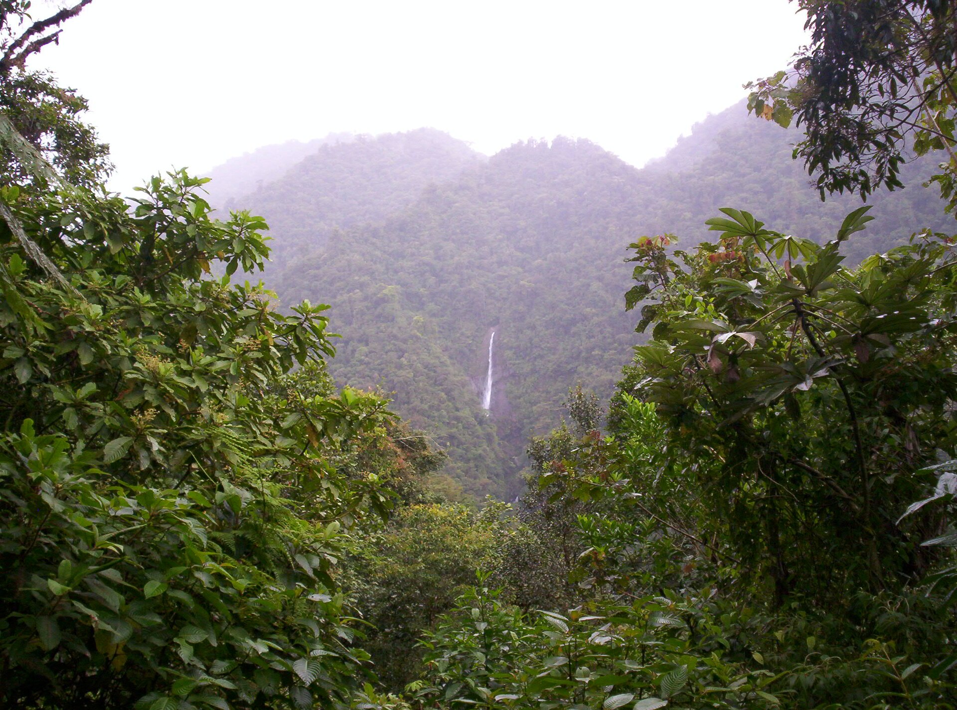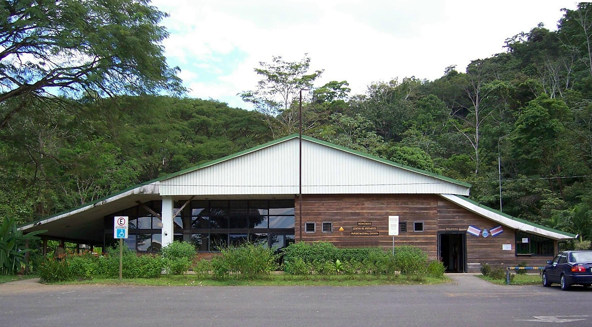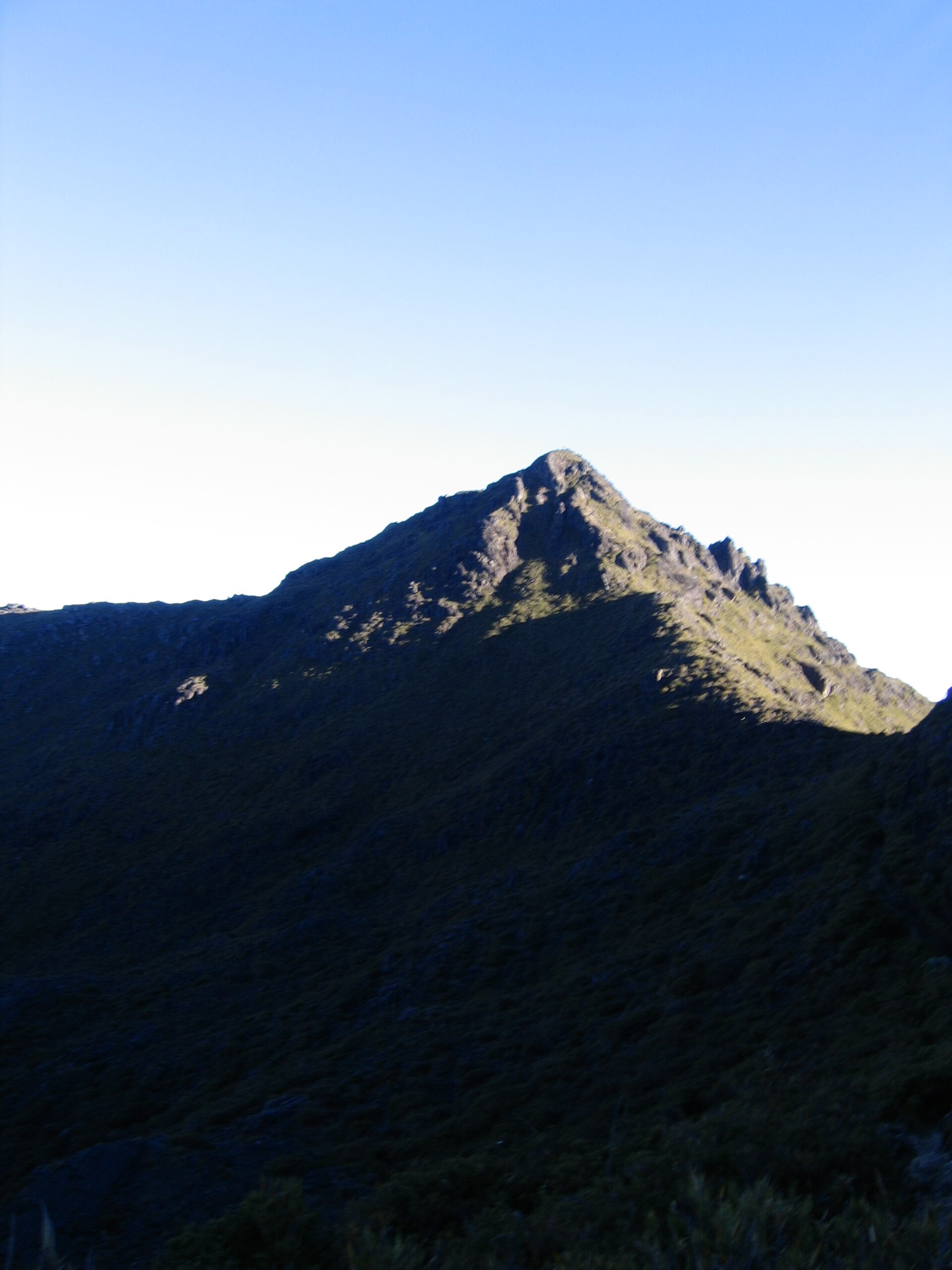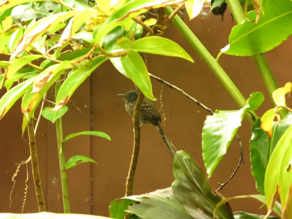
Costa Rica · Marine
Manuel Antonio National Park
National park of 68,200 hectares in Costa Rica, established in 1972.
Overview
National park of 68,200 hectares in Costa Rica, established in 1972.
Manuel Antonio National Park is located in Costa Rica (North America). It is a predominantly marine area. Established in 1972, it covers about 68,200 hectares.
In our collections
Frequently asked questions
Where is Manuel Antonio National Park?
In Costa Rica (North America). Representative point: 9.3756° N, 84.1358° W.
How large is Manuel Antonio National Park?
About 68,200 hectares (682 km²). It is the 3rd largest of the 27 national parks in Costa Rica covered by Parkavela.
When was Manuel Antonio National Park established?
In 1972.
What habitats and landscapes does Manuel Antonio National Park include?
A marine area, with coasts.
When is the best time to visit Manuel Antonio National Park?
Best time to visit: the dry season, from January to April, with less than 400 mm of rain per month.
What is the nearest large city to Manuel Antonio National Park?
Nearest towns of over 50,000 people, as the crow flies: San José (59 km). Nearest airport: Juan Santamaría (SJO), about 66 km away.
Where can I get visitor information on site?
Manuel Antonio NP and Parque Nacional Manuel Antonio.
Which species can be seen in Manuel Antonio National Park?
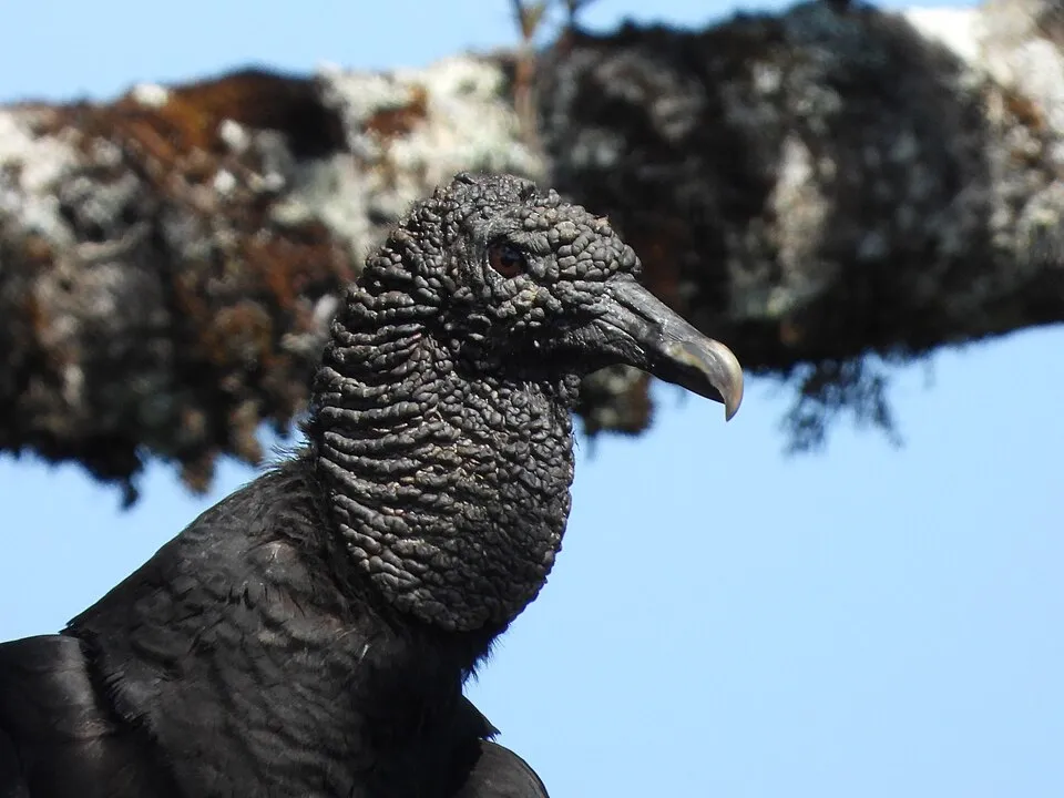
Among the species most often recorded on GBIF are Thamnophilus bridgesi (Black-hooded Antshrike), Coragyps atratus (Black Vulture), Myrmeciza exsul (Chestnut-backed Antbird) and Cantorchilus semibadius (Riverside Wren).
© OpenStreetMap
Download the boundary: GeoJSON · GPX Boundary © OpenStreetMap contributors (ODbL).
Geography
The representative point of the site lies at around 2 m above sea level. Over the 1996–2025 period, the mean annual temperature is about 25.2 °C and total precipitation reaches roughly 8,073 mm per year. The warmest month is usually March, the coolest October, and the wettest October.
Area
- Area
- 68,200 ha
- Elevation
- 2 m
- Coordinates
- 9.3756, -84.1358
Climate
● Mean temperature (°C) · ▮ Precipitation (mm)
Source: Copernicus ERA5-Land (C3S, doi:10.24381/cds.68d2bb30), monthly averages 1996–2025 interpolated to the representative point, temperatures adjusted for elevation.
Contains modified Copernicus Climate Change Service information 2026. Neither the European Commission nor ECMWF is responsible for any use that may be made of the Copernicus information or data it contains.
Natural habitats
The sea covers about 95% of the site. The seabed reaches about 1,589 m deep (median depth 386 m; GEBCO bathymetry).
Biodiversity
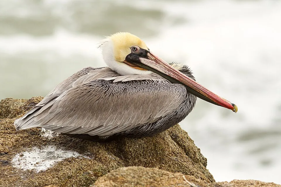
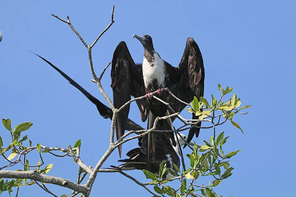
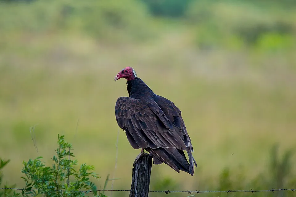
Based on occurrences aggregated by GBIF, several species are regularly recorded within the site. Among the most frequent are Thamnophilus bridgesi (Black-hooded Antshrike), Coragyps atratus (Black Vulture), Myrmeciza exsul (Chestnut-backed Antbird) and Cantorchilus semibadius (Riverside Wren). The full list of documented taxa is shown below.
Species to look out for

Bird
Riverside Wren
Cantorchilus semibadius1,891 records © Juan Zamora from Heredia, Costa Rica · CC BY 2.0
Observed species
Occurrences documented via GBIF; they are neither an exhaustive inventory nor proof of current presence.
- Black-hooded Antshrike · Thamnophilus bridgesi · 2337
- Black Vulture · Coragyps atratus · 2029
- Chestnut-backed Antbird · Myrmeciza exsul · 1961
- Riverside Wren · Cantorchilus semibadius · 1891
- Brown pelican · Pelecanus occidentalis · 1829
- Magnificent frigatebird · Fregata magnificens · 1779
- Turkey Vulture · Cathartes aura · 1634
- Great Kiskadee · Pitangus sulphuratus · 1282
- Great-tailed Grackle · Quiscalus mexicanus · 1127
- Passerini's Tanager · Ramphocelus passerinii · 927
- Chestnut-sided Warbler · Setophaga pensylvanica · 910
- Tropical Kingbird · Tyrannus melancholicus · 897
+18 more species
- Yellow-throated Toucan · Ramphastos ambiguus · 850
- Fiery-billed Aracari · Pteroglossus frantzii · 839
- Cocoa Woodcreeper · Xiphorhynchus susurrans · 834
- Rufous-tailed Hummingbird · Amazilia tzacatl · 768
- Lesser Greenlet · Hylophilus decurtatus · 755
- Red-crowned Woodpecker · Melanerpes rubricapillus · 732
- Orange-chinned Parakeet · Brotogeris jugularis · 727
- Grey-cowled Wood-rail · Aramides cajanea · 711
- American White Ibis · Eudocimus albus · 709
- Crowned Woodnymph · Thalurania colombica · 703
- Orange-billed Sparrow · Arremon aurantiirostris · 684
- Blue-grey Tanager · Thraupis episcopus · 677
- Palm Tanager · Thraupis palmarum · 629
- Clay-colored Thrush · Turdus grayi · 623
- Bananaquit · Coereba flaveola · 598
- Common Potoo · Nyctibius griseus · 578
- Great Tinamou · Tinamus major · 575
- Blue-diademed Motmot · Momotus lessonii · 555
Records: GBIF.org (CC-BY). Names: Wikidata (CC0), GBIF. Photos: Wikimedia Commons.
Conservation challenges
The primary purpose of the site is to preserve its natural habitats and the biodiversity they support. The species recorded (Biodiversity tab) reflect its ecological value. Its status as a national park sets the regulatory framework for its protection.
Since 2000, 7 invasive alien species have been recorded within the site (GBIF observations). Among them: Columba livia (Rock Dove), Odocoileus virginianus (White-tailed deer) and Passer domesticus (House Sparrow).
Pressure indicators
Invasive alien species
7
recorded since 2000
 Rock Dove
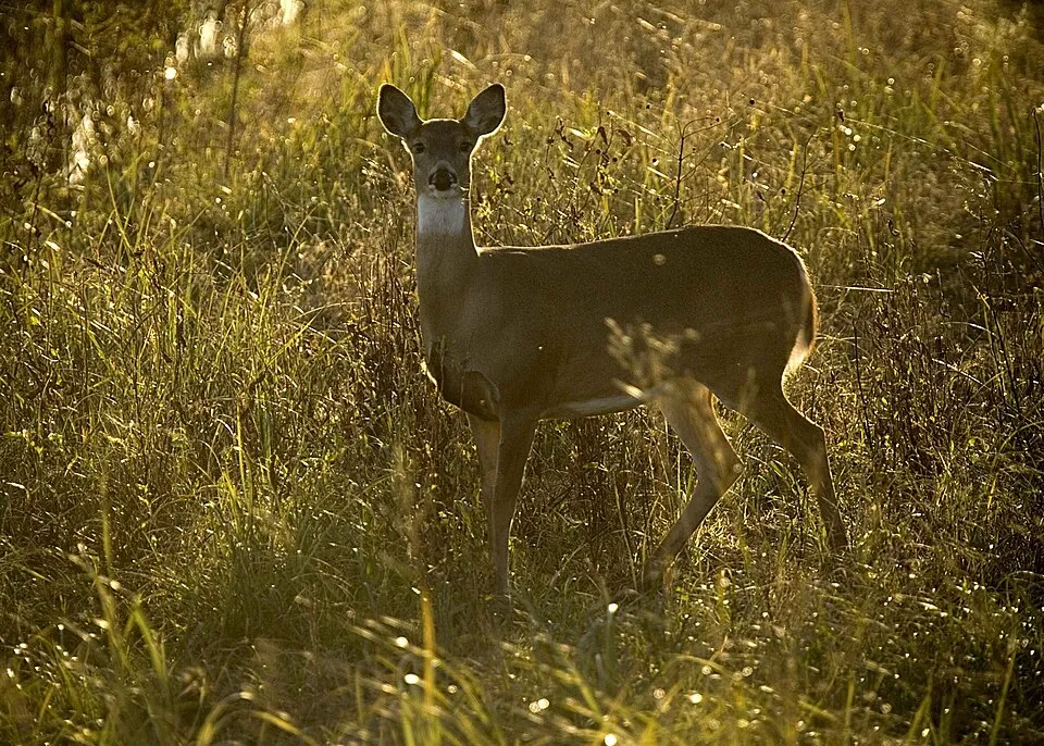 White-tailed deer
 House Sparrow
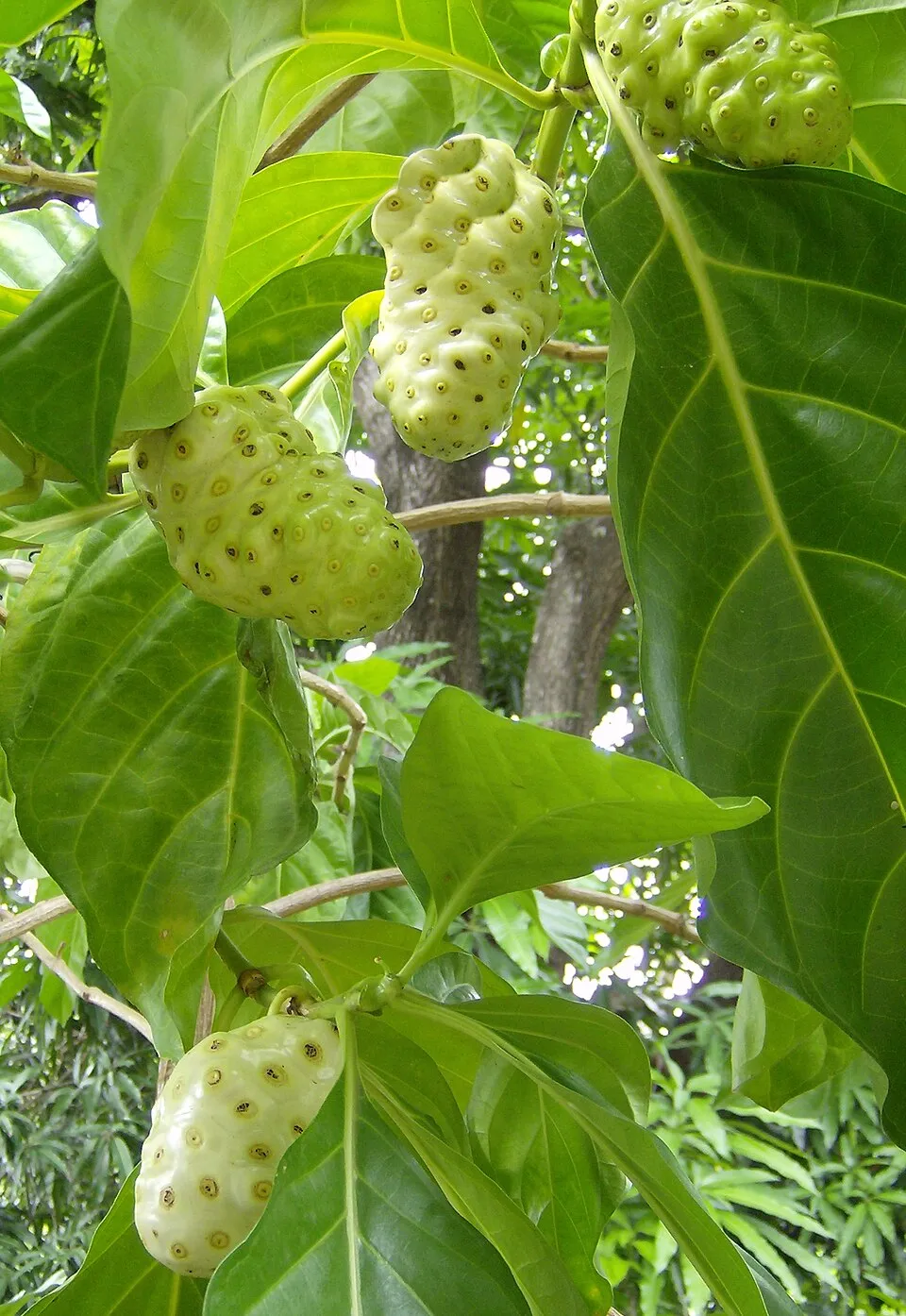 Indian mulberry
 Itchgrass
 Red ginger
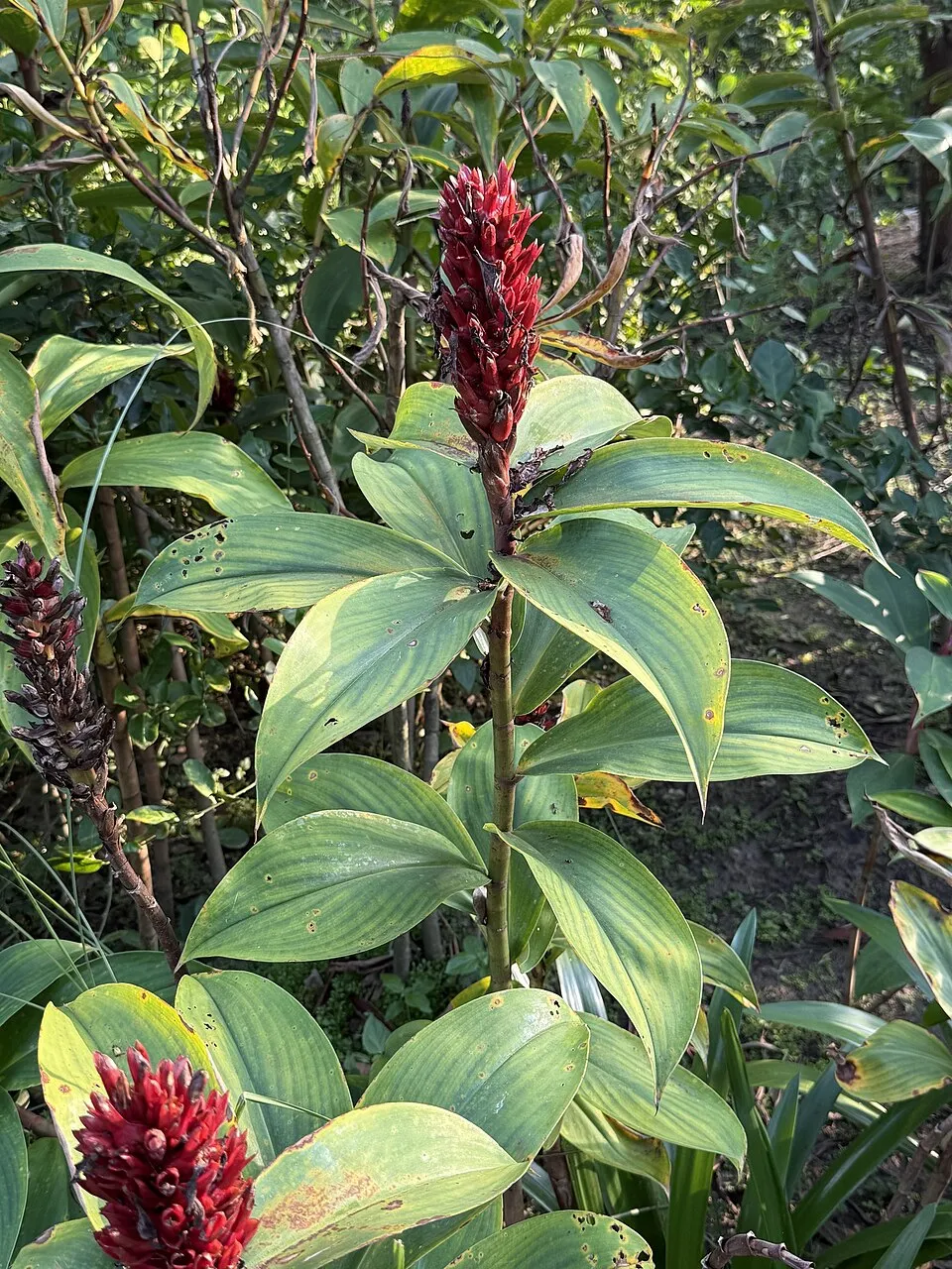 Hellenia speciosa
Photos: Rock Dove © william_stephens · CC BY 4.0; White-tailed deer © Hillebrand Steve, U.S. Fish and Wildlife Service · Public domain; House Sparrow © Diliff · CC BY-SA 3.0; Indian mulberry © Wilfredor · CC0-1.0; Itchgrass © Keisotyo · CC BY-SA 3.0; Red ginger © Sapphic · CC BY-SA 3.0; Hellenia speciosa © Dr. Alexey Yakovlev · CC BY 4.0
Sources: Global Forest Change (Hansen et al., University of Maryland, via Global Forest Watch, CC-BY 4.0); EFFIS, European Commission / Copernicus; NASA Black Marble 2016 (public domain); CORINE Land Cover 2018 (Copernicus) or MODIS.
Invasive alien species: Global Register of Introduced and Invasive Species (ISSG, CC BY 4.0); Union list, Regulation (EU) 1143/2014 (INBO, CC0); GBIF.org records (CC0 / CC BY 4.0), at least 2 per species.
Practical information
Cities and airport
- San José
59 km as the crow flies - Airport: Juan Santamaría (SJO)
66 km as the crow flies
Visitor information
- Manuel Antonio NP
within the site - Parque Nacional Manuel Antonio
within the site
Data © OpenStreetMap contributors (ODbL) · Wikidata (CC0)
Access and visiting
Nearest towns of over 50,000 people, as the crow flies: San José (59 km). Nearest airport: Juan Santamaría (SJO), about 66 km away. About 37,000 people live within 20 km of the site boundary, 28,000 of them within 10 km (GHSL estimate, 2020). This population has grown by about 57% since 2000. Visitor information on site: Manuel Antonio NP and Parque Nacional Manuel Antonio. To plan a visit (access, opening periods, visitor rules), it is best to consult the official information from the managing body and the official website listed in this page's sources.
Source: OpenStreetMap (ODbL), Wikidata (CC0), October 2026.
When to visit
Best time to visit: the dry season, from January to April, with less than 400 mm of rain per month. Day length ranges from about 11 h 35 min in December to 12 h 40 min in June. Wildlife records published on GBIF peak for birds (from December to March), plants (April), butterflies and moths (August), dragonflies (February) and mammals (from December to March). These peaks also reflect when observers are most active.
Source: Copernicus ERA5-Land (C3S), monthly averages 1996–2025 at the representative point, temperatures adjusted for elevation.
Contains modified Copernicus Climate Change Service information 2026. Neither the European Commission nor ECMWF is responsible for any use that may be made of the Copernicus information or data it contains.
Wildlife records calendar
JFMAMJJASOND
Birds
Plants
Butterflies & moths
Dragonflies
Mammals
Monthly records published on GBIF (CC-BY), relative to the busiest month; also reflects observer activity.
Gallery
© Hanay · CC BY-SA 4.0
© Christophe Meneboeuf · CC BY-SA 3.0
© Mariordo (Mario Roberto Durán Ortiz) · CC BY-SA 4.0
© Jakes19 · Public domain
© DonMezzi · Public domain
© Gabriele Kothe-Heinrich · CC BY-SA 3.0
Sources and licences
- Wikidata: Q112854
- OpenStreetMap: relation 2175048
- Wikipedia: en.wikipedia.org/wiki/Manuel_Antonio_National_Park
- WDPA: 2250
References
- cds.climate.copernicus.eu: climate · CC-BY-4.0
- registry.opendata.aws: elevation of the reference point · PD
- lpdaac.usgs.gov: land cover · PD
- doi.org: population around the site · CC-BY-4.0
- naturalearthdata.com: sea share · PD
- wikidata.org: official area, highest point, establishment date, nearby cities and airport, access and peaks, places to see · CC0-1.0
- gbif.org: coral records, seasonality of sightings, invasive alien species, observed species · CC-BY-4.0
- gebco.net: depths · PD
- opentopodata.org: elevations · PD
- openstreetmap.org: official name, access and peaks, trail difficulty, wheelchair access · ODbL-1.0
- wikidata.org: Wikipedia article · CC-BY-SA-4.0
Data © OpenStreetMap contributors (ODbL), Wikidata (CC0) and the sources cited.