Costa Rica · Terrestrial
Tapantí National Park
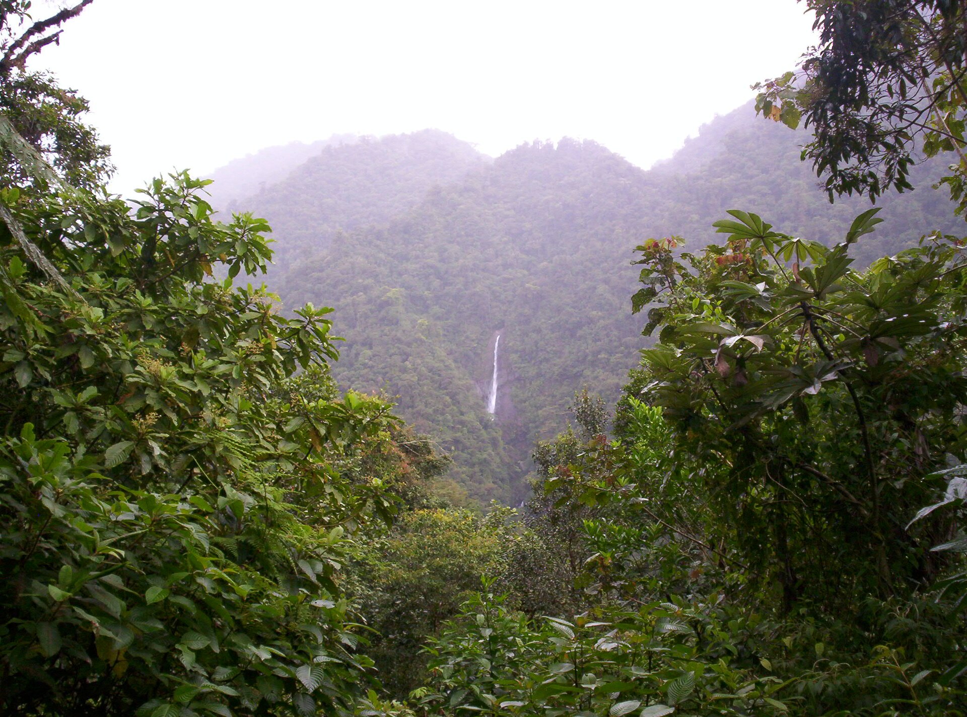
National park of 58,320 hectares in Costa Rica, established in 1982.
Overview
National park of 58,320 hectares in Costa Rica, established in 1982.
Tapantí National Park is located in Costa Rica (North America). It is a predominantly terrestrial area. Established in 1982, it covers about 58,320 hectares.
Protections and designations
Ramsar site
Protected as a national park. International labels and designations: Ramsar site (“Macho River Forest Reserve”).
In our collections
Frequently asked questions
Where is Tapantí National Park?
In Costa Rica (North America). Representative point: 9.6736° N, 83.7097° W.
How large is Tapantí National Park?
About 58,320 hectares (583 km²). It is the 4th largest of the 27 national parks in Costa Rica covered by Parkavela.
When was Tapantí National Park established?
In 1982.
What habitats and landscapes does Tapantí National Park include?
A terrestrial area, with forests and mountains.
What is the highest point of Tapantí National Park?
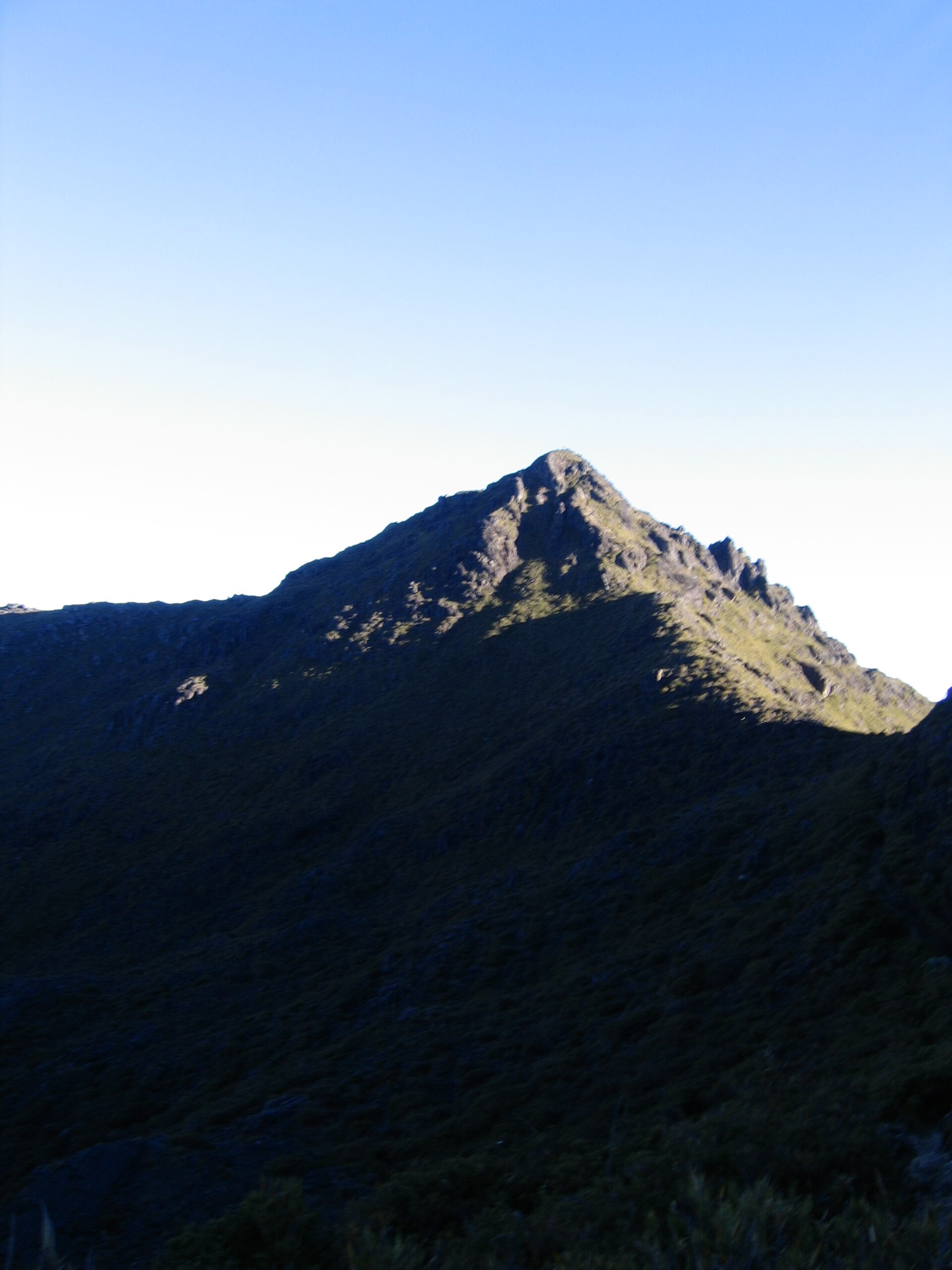
Cerro Sákira, at 3,417 m (OpenStreetMap).
What are the main summits of Tapantí National Park?
Cerro Sákira (3,417 m), Cerro Sábila (3,415 m), Cerro Zacatales (3,408 m), Cerro Asunción (3,400 m) and Cerro Jaboncillo (3,191 m) (OpenStreetMap).
Which international labels apply to Tapantí National Park?
Ramsar site (“Macho River Forest Reserve”).
When is the best time to visit Tapantí National Park?
The climate suits visits all year round.
What is the nearest large city to Tapantí National Park?
Nearest towns of over 50,000 people, as the crow flies: San José (29 km) and Limón (58 km). Nearest airport: Juan Santamaría (SJO), about 44 km away.
How can I reach Tapantí National Park by train?
The nearest railway station is Paraíso, about 10 km from the site boundary.
Where can I get visitor information on site?
Estación Los Quetzales and Tapantí National Park Information.
Which species can be seen in Tapantí National Park?
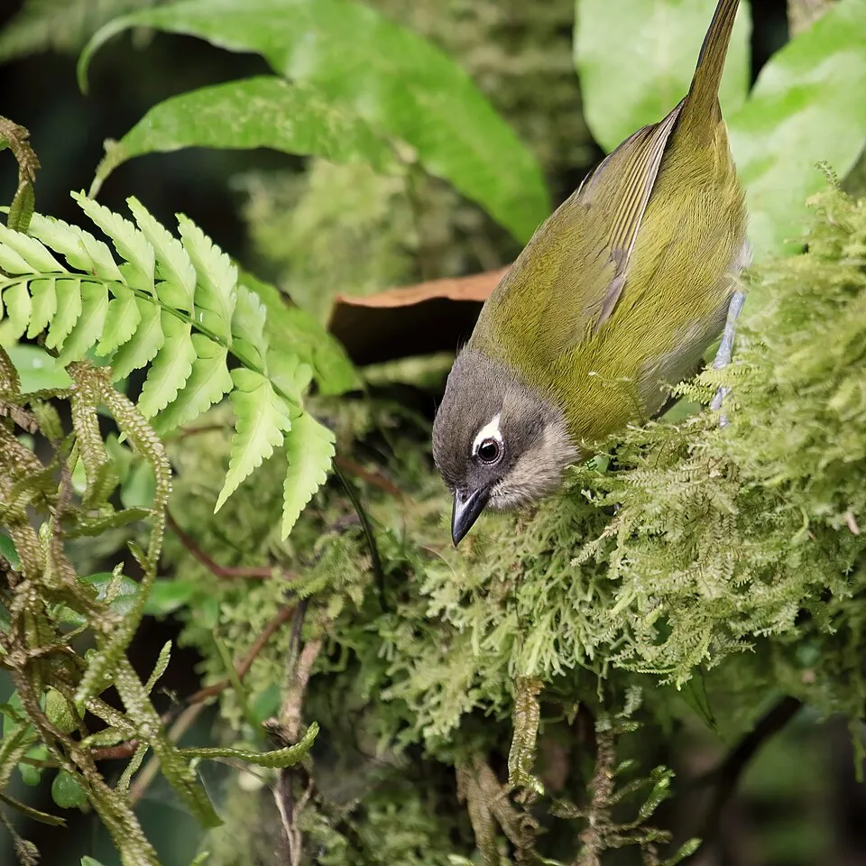
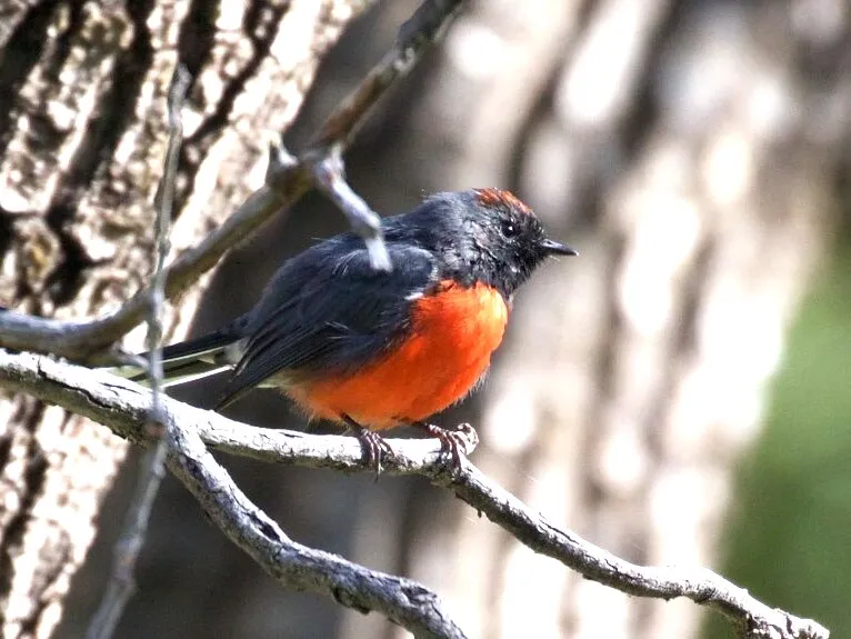
Among the species most often recorded on GBIF are Chlorospingus flavopectus (Common Bush Tanager), Tangara icterocephala (Silver-throated tanager), Myioborus miniatus (Slate-throated Whitestart) and Henicorhina leucophrys (Grey-breasted Wood Wren).
© OpenStreetMap
Download the boundary: GeoJSON · GPX Boundary © OpenStreetMap contributors (ODbL).
Geography
The representative point of the site lies at around 2,314 m above sea level. Over the 1996–2025 period, the mean annual temperature is about 14.4 °C and total precipitation reaches roughly 2,862 mm per year. The warmest month is usually May, the coolest January, and the wettest October.
Area
- Area
- 58,320 ha
- Elevation
- 2,314 m
- Median elevation
- 2,153 m
- Mean slope
- 20°
- Coordinates
- 9.6736, -83.7097
Terrain: Mapzen Terrain Tiles (SRTM, USGS)
Elevation bands
- 500–1,000 m 3%
- 1,000–1,500 m 11%
- 1,500–2,000 m 27%
- 2,000–2,500 m 31%
- 2,500–3,000 m 25%
- above 3,000 m 3%
share of the site in each elevation band (smoothed terrain model: summits are rounded off) · Terrain: Mapzen Terrain Tiles (SRTM, USGS)
Main summits
- Cerro Sákira3,417 m
- Cerro Sábila3,415 m
- Cerro Zacatales3,408 m
- Cerro Asunción3,400 m
- Cerro Jaboncillo3,191 m
Data © OpenStreetMap contributors (ODbL)
Climate
● Mean temperature (°C) · ▮ Precipitation (mm)
Source: Copernicus ERA5-Land (C3S, doi:10.24381/cds.68d2bb30), monthly averages 1996–2025 interpolated to the representative point, temperatures adjusted for elevation.
Contains modified Copernicus Climate Change Service information 2026. Neither the European Commission nor ECMWF is responsible for any use that may be made of the Copernicus information or data it contains.
Natural habitats
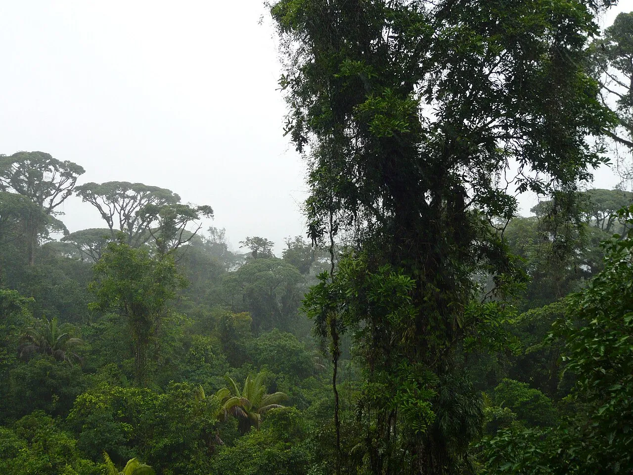
According to the global MODIS land cover (NASA, 2024), the site is mainly made up of forests (100%). It is mostly dense evergreen broadleaved forest. Elevation ranges from about 900 m to 3,417 m (highest point: Cerro Sákira). Median elevation is 2,153 m, and 28% of the site lies above 2,500 m (SRTM elevation model). The terrain is steep: 14% of slopes exceed 30° (mean slope 20°).
Biodiversity
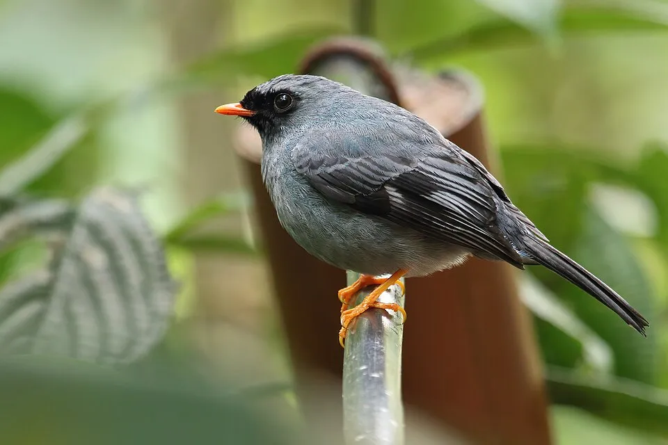
Based on occurrences aggregated by GBIF, several species are regularly recorded within the site. Among the most frequent are Chlorospingus flavopectus (Common Bush Tanager), Tangara icterocephala (Silver-throated tanager), Myioborus miniatus (Slate-throated Whitestart) and Henicorhina leucophrys (Grey-breasted Wood Wren). The full list of documented taxa is shown below.
Species to look out for

Bird
Silver-throated tanager
Tangara icterocephala2,183 records © Hans Norelius from Älvsjö, Sweden · CC BY 2.0


Observed species
Occurrences documented via GBIF; they are neither an exhaustive inventory nor proof of current presence.
- Common Bush Tanager · Chlorospingus flavopectus · 2639
- Silver-throated tanager · Tangara icterocephala · 2183
- Slate-throated Whitestart · Myioborus miniatus · 2078
- Grey-breasted Wood Wren · Henicorhina leucophrys · 1981
- Spangle-cheeked Tanager · Tangara dowii · 1896
- Black-faced Solitaire · Myadestes melanops · 1885
- Tawny-capped Euphonia · Euphonia anneae · 1539
- Scale-crested Pygmy Tyrant · Lophotriccus pileatus · 1519
- Slaty-backed Nightingale-Thrush · Catharus fuscater · 1471
- Paltry Tyrannulet · Zimmerius vilissimus · 1403
- Red-faced Spinetail · Cranioleuca erythrops · 1398
- Black phoebe · Sayornis nigricans · 1377
+18 more species
- Ochraceous Wren · Troglodytes ochraceus · 1367
- Clay-colored Thrush · Turdus grayi · 1326
- Northern Tufted Flycatcher · Mitrephanes phaeocercus · 1325
- Green Hermit · Phaethornis guy · 1318
- Collared Trogon · Trogon collaris · 1262
- Bananaquit · Coereba flaveola · 1233
- Rufous-collared Sparrow · Zonotrichia capensis · 1233
- White-bellied Mountain-gem · Lampornis hemileucus · 1227
- Blue-and-white Swallow · Notiochelidon cyanoleuca · 1186
- Black-bellied Hummingbird · Eupherusa nigriventris · 1146
- Golden-browed Chlorophonia · Chlorophonia callophrys · 1129
- Purple-throated Mountain-gem · Lampornis calolaemus · 1079
- Spotted barbtail · Premnoplex brunnescens · 1060
- Bay-headed Tanager · Tangara gyrola · 981
- Tropical Parula · Setophaga pitiayumi · 971
- Silvery-fronted Tapaculo · Scytalopus argentifrons · 970
- Prong-billed Barbet · Semnornis frantzii · 967
- Wedge-billed Woodcreeper · Glyphorynchus spirurus · 950
Records: GBIF.org (CC-BY). Names: Wikidata (CC0), GBIF. Photos: Wikimedia Commons.
Conservation challenges
The primary purpose of the site is to preserve its natural habitats and the biodiversity they support. The species recorded (Biodiversity tab) reflect its ecological value. The designations it holds frame its management and the control of land use.
According to Global Forest Change data (University of Maryland, Global Forest Watch), about 87 ha of tree cover were lost within the boundary between 2001 and 2023 (under 1% of its area), peaking in 2017 and 2022. These losses include logging, storms and fires, and do not account for regrowth. At night, the area gives off virtually no artificial light detectable from space (NASA VIIRS Black Marble composite, 2016). Since 2000, 7 invasive alien species have been recorded within the site (GBIF observations). Among them: Columba livia (Rock Dove), Passer domesticus (House Sparrow) and Musa velutina (Hairy banana).
Pressure indicators
Tree cover lost
87 ha
2001–2023 · < 1% of the area
20012023
Light at night
0%
of the area gives off artificial light visible from space
DarkLit
Invasive alien species
7
recorded since 2000
 Rock Dove
 House Sparrow
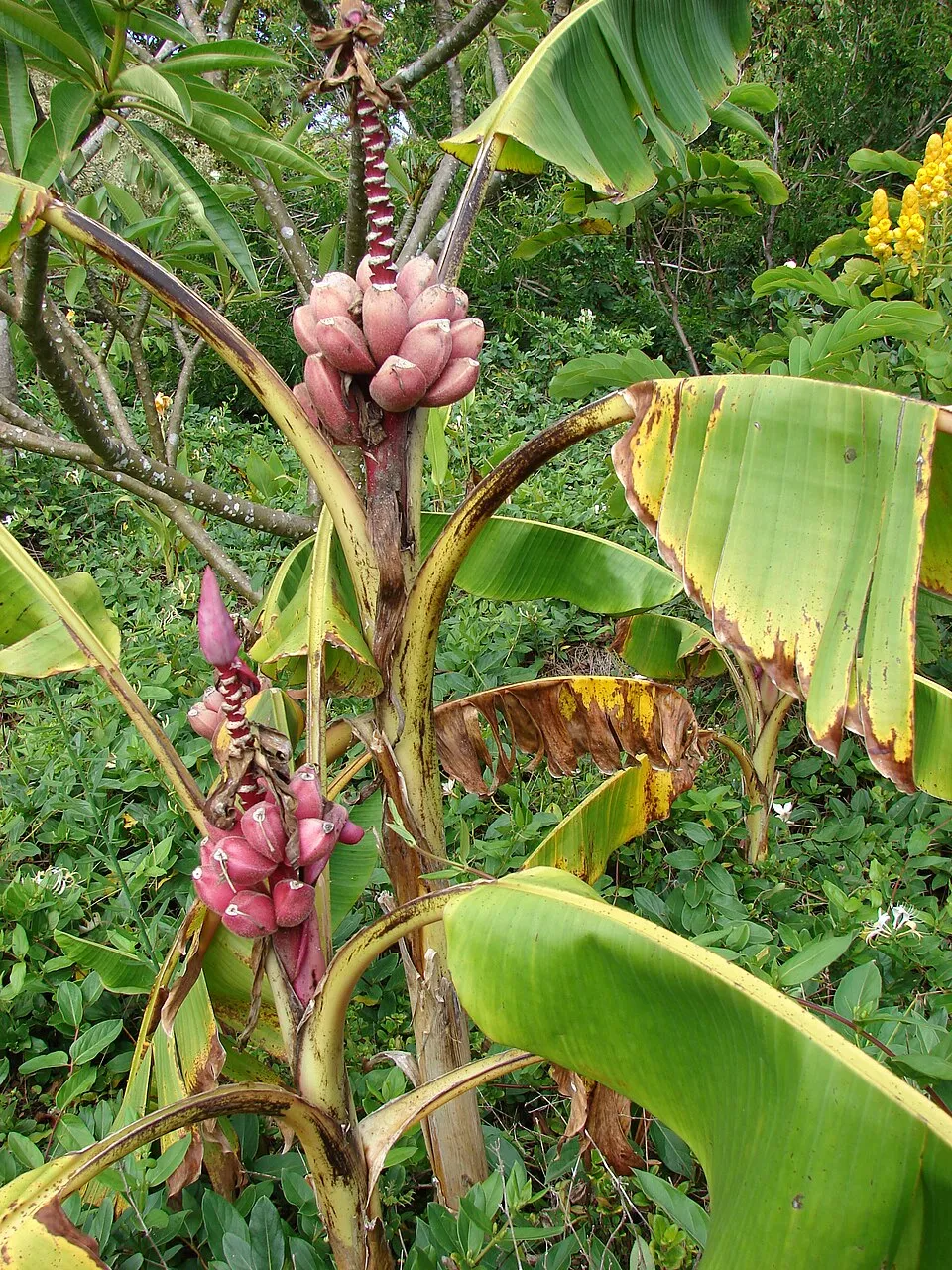 Hairy banana
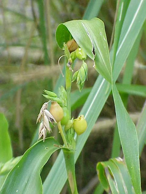 Job's tears
 Buzzy lizzy
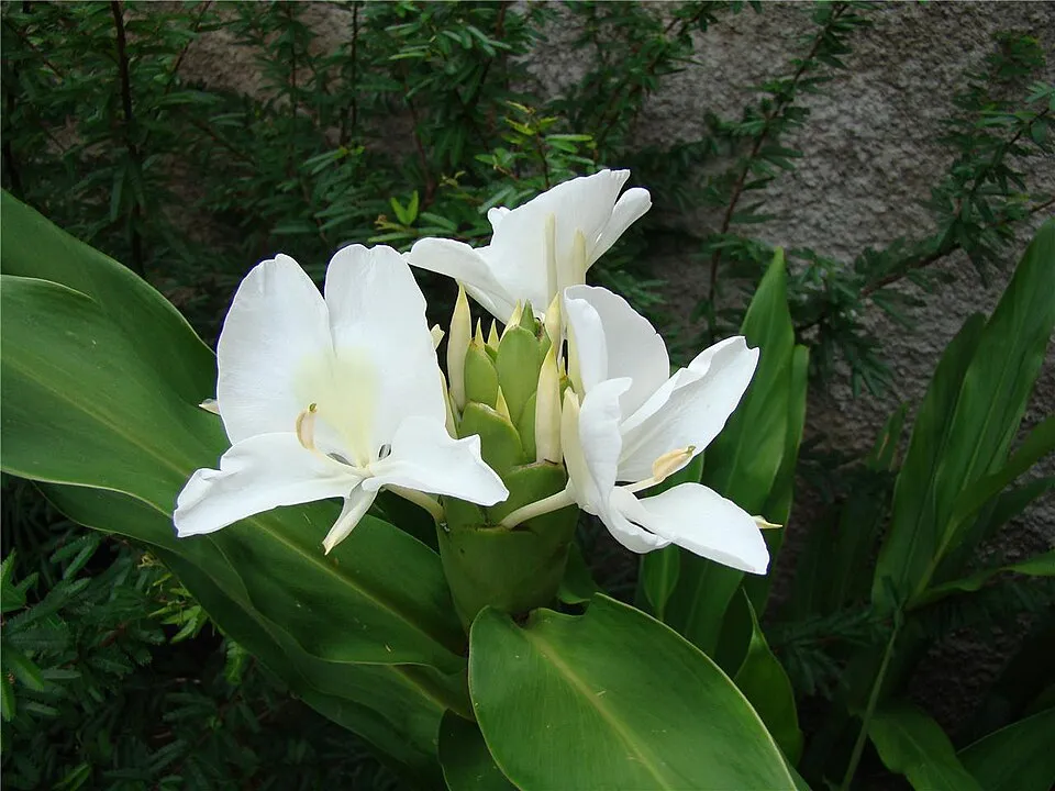 White garland-lily
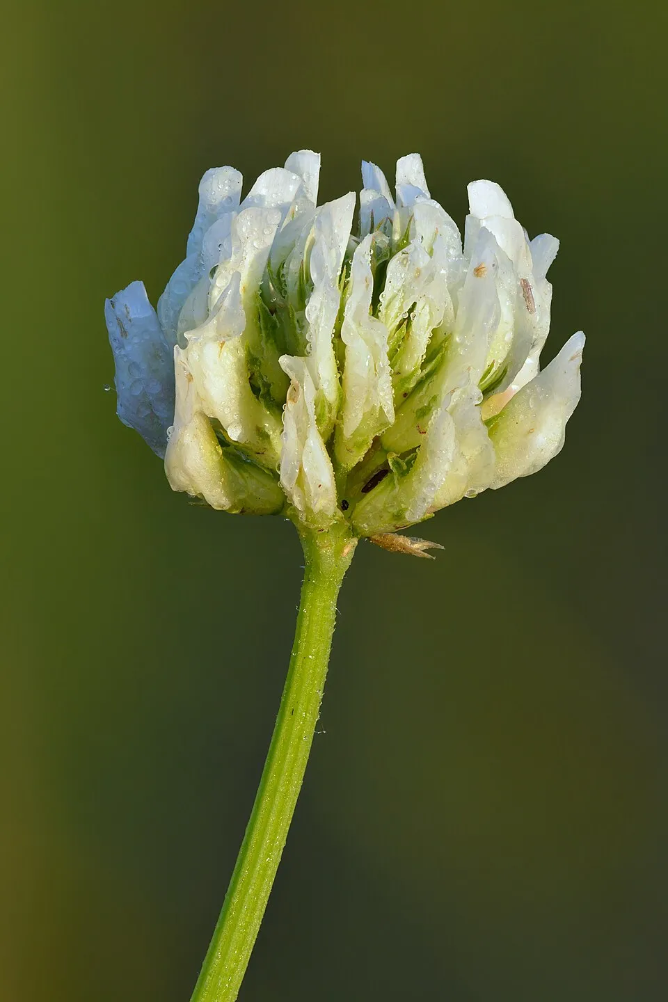 White Clover
Photos: Rock Dove © william_stephens · CC BY 4.0; House Sparrow © Diliff · CC BY-SA 3.0; Hairy banana © Forest & Kim Starr · CC BY 3.0; Job's tears © Jed · CC BY-SA 3.0; Buzzy lizzy © Thegreenj · CC BY-SA 3.0; White garland-lily © Minister2009 · CC BY-SA 3.0; White Clover © Ivar Leidus · CC BY-SA 4.0
Sources: Global Forest Change (Hansen et al., University of Maryland, via Global Forest Watch, CC-BY 4.0); EFFIS, European Commission / Copernicus; NASA Black Marble 2016 (public domain); CORINE Land Cover 2018 (Copernicus) or MODIS.
Invasive alien species: Global Register of Introduced and Invasive Species (ISSG, CC BY 4.0); Union list, Regulation (EU) 1143/2014 (INBO, CC0); GBIF.org records (CC0 / CC BY 4.0), at least 2 per species.
Practical information
Cities and airport
- San José
29 km as the crow flies - Limón
58 km as the crow flies - Airport: Juan Santamaría (SJO)
44 km as the crow flies
Visitor information
- Estación Los Quetzales
< 1 km from the site boundary - Tapantí National Park Information
within the site
Parking
3 public car parks listed within the site
Data © OpenStreetMap contributors (ODbL) · Wikidata (CC0)
Access and visiting
The nearest railway station is Paraíso, about 10 km from the site boundary. Nearest towns of over 50,000 people, as the crow flies: San José (29 km) and Limón (58 km). Nearest airport: Juan Santamaría (SJO), about 44 km away. About 510,000 people live within 20 km of the site boundary, 93,000 of them within 10 km; some 80 people are estimated to live inside (GHSL estimate, 2020). This population has grown by about 20% since 2000. Visitor information on site: Estación Los Quetzales and Tapantí National Park Information. Public car parks listed within the site: 3. To plan a visit (access, opening periods, visitor rules), it is best to consult the official information from the managing body and the official website listed in this page's sources.
Source: OpenStreetMap (ODbL), Wikidata (CC0), October 2026.
When to visit
The climate suits visits all year round. These averages apply to the site's representative point (2,314 m); higher up it is markedly cooler and snow lasts longer. Day length ranges from about 11 h 34 min in December to 12 h 41 min in June. Wildlife records published on GBIF peak for birds (March), plants (July), butterflies and moths (March and April), dragonflies (June) and mammals (July). These peaks also reflect when observers are most active.
Source: Copernicus ERA5-Land (C3S), monthly averages 1996–2025 at the representative point, temperatures adjusted for elevation.
Contains modified Copernicus Climate Change Service information 2026. Neither the European Commission nor ECMWF is responsible for any use that may be made of the Copernicus information or data it contains.
Wildlife records calendar
JFMAMJJASOND
Birds
Plants
Butterflies & moths
Dragonflies
Mammals
Monthly records published on GBIF (CC-BY), relative to the busiest month; also reflects observer activity.
Gallery
© Mardochaios · Public domain
© Mardochaios · Public domain
© Dominic Sherony · CC BY-SA 2.0
© Andrey Loria · CC BY-SA 4.0
© Ruestz · CC BY-SA 2.5
© Daniel from CostaRica · CC BY 2.0
Sources and licences
- Wikidata: Q4552264
- OpenStreetMap: relation 10323073
- Wikipedia: en.wikipedia.org/wiki/Tapantí_National_Park
- WDPA: 108173
References
- cds.climate.copernicus.eu: climate · CC-BY-4.0
- registry.opendata.aws: elevation of the reference point, detailed relief · PD
- lpdaac.usgs.gov: land cover · PD
- doi.org: population around the site · CC-BY-4.0
- naturalearthdata.com: sea share · PD
- wikidata.org: official area, establishment date, official name, nearby cities and airport, access and peaks, lake depths, places to see · CC0-1.0
- en.eurovelo.com: EuroVelo cycle routes · ODbL-1.0
- cycling.waymarkedtrails.org: cycle routes · ODbL-1.0
- opentopodata.org: elevations · PD
- globalforestwatch.org: tree cover loss · CC-BY-4.0
- gbif.org: seasonality of sightings, invasive alien species, observed species · CC-BY-4.0
- earthobservatory.nasa.gov: night light · PD
- openstreetmap.org: access and peaks · ODbL-1.0
- nsidc.org: snow cover · PD
- wikidata.org: Wikipedia article · CC-BY-SA-4.0
Data © OpenStreetMap contributors (ODbL), Wikidata (CC0) and the sources cited.