
Plant
Sphagnum: where to see it
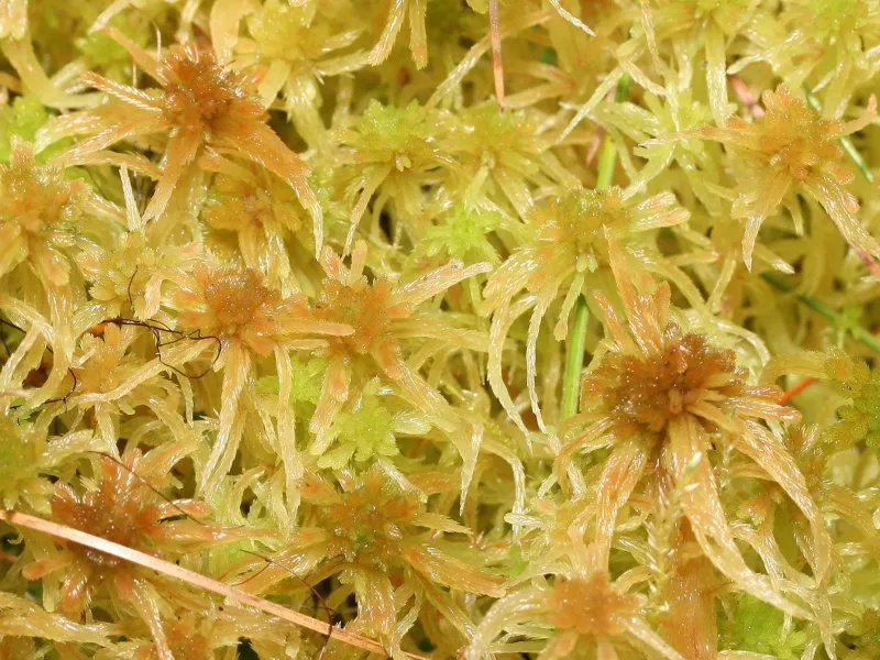
Sphagnum angustifolium
This plant species is recorded in 2 protected areas of the atlas, and is listed on the official Natura 2000 form of each of them. Within the atlas countries, it is mostly observed in Sweden, France and Denmark (8 countries in all). Most records (8 in 10) lie between 120 and 1,350 m above sea level. Records peak from July to September. It is a species of Community interest under the Habitats Directive (Annex V).
Best time to see it: July–September
Records published on GBIF by month (CC0 and CC BY 4.0 licences only), in the atlas countries, all years combined; they also reflect observer activity.
Status and protection
Habitats Directive V
The species is listed in Annex V of the Habitats Directive.
Distribution
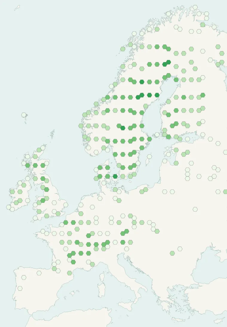
Records published on GBIF (CC0 and CC BY 4.0 licences): the darker the shade, the more records there are; they also reflect observation effort.
Atlas countries where it is recorded
From Wikipedia
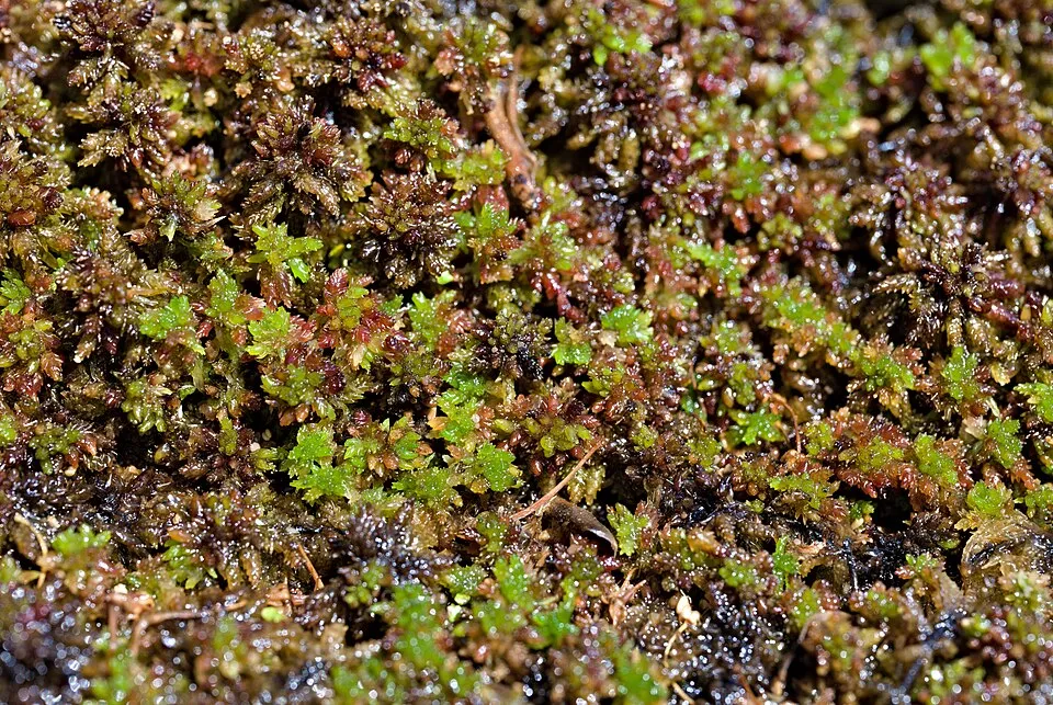
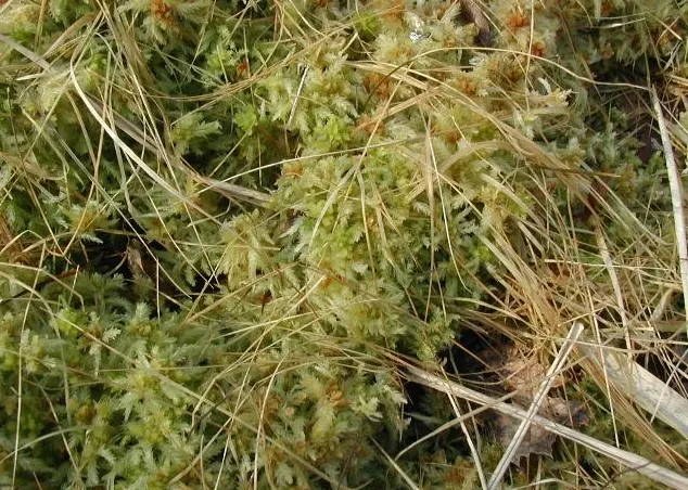
Sphagnum angustifolium, the fine bogmoss, is a species of peat moss with a Holarctic distribution. A member of the S. recurvum species complex within Sphagnum section Cuspidata, it is a relatively small, green to yellowish moss that grows in wet, moderately nutrient-rich mires, typically forming carpets or growing intermixed with other peat moss species.
Source: Wikipedia, article “Sphagnum angustifolium” (version of October 5, 2026) · history and authors · licence CC BY-SA 4.0 · shortened excerpt
Protected areas where it is recorded
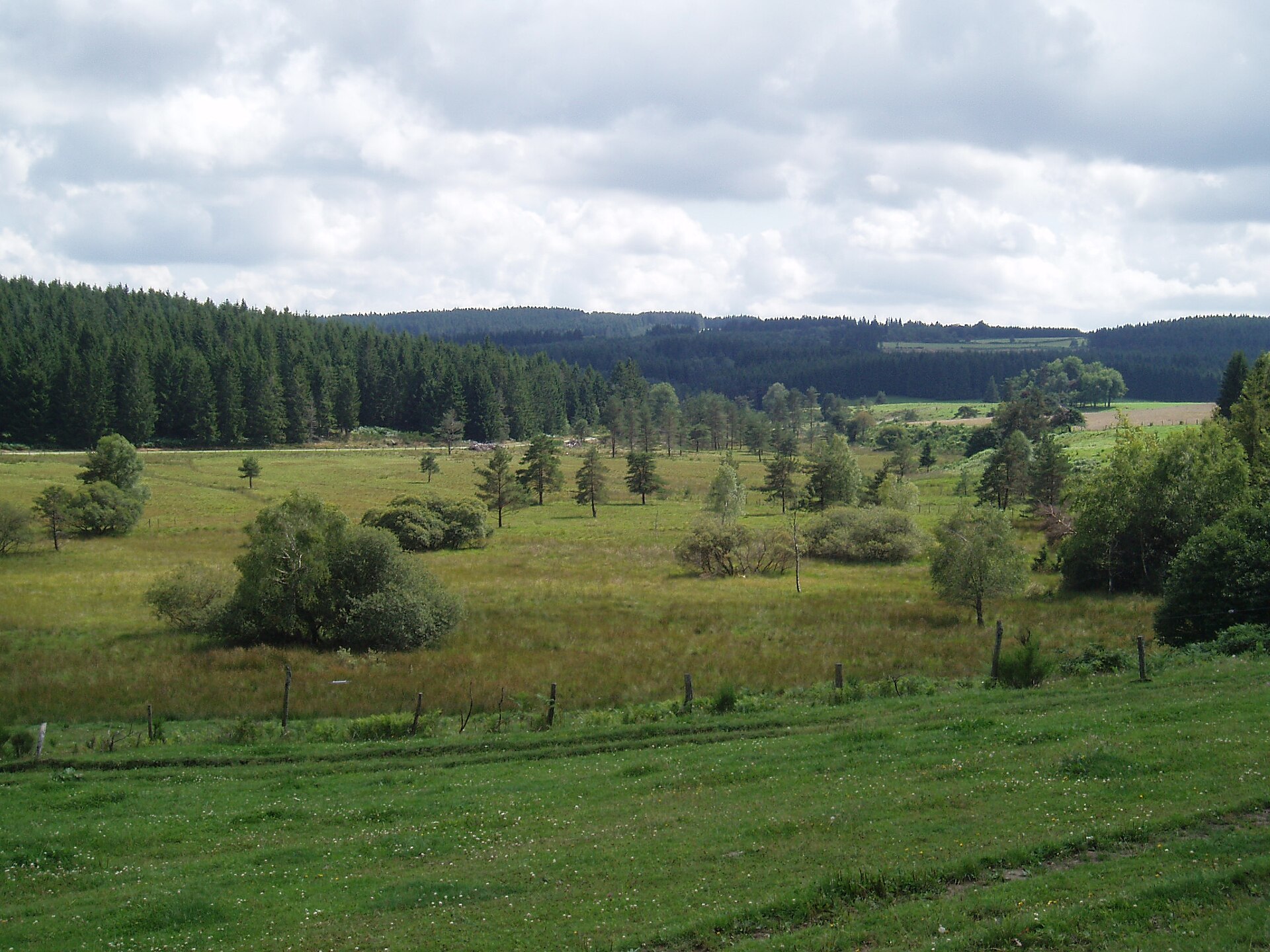
Natura 2000
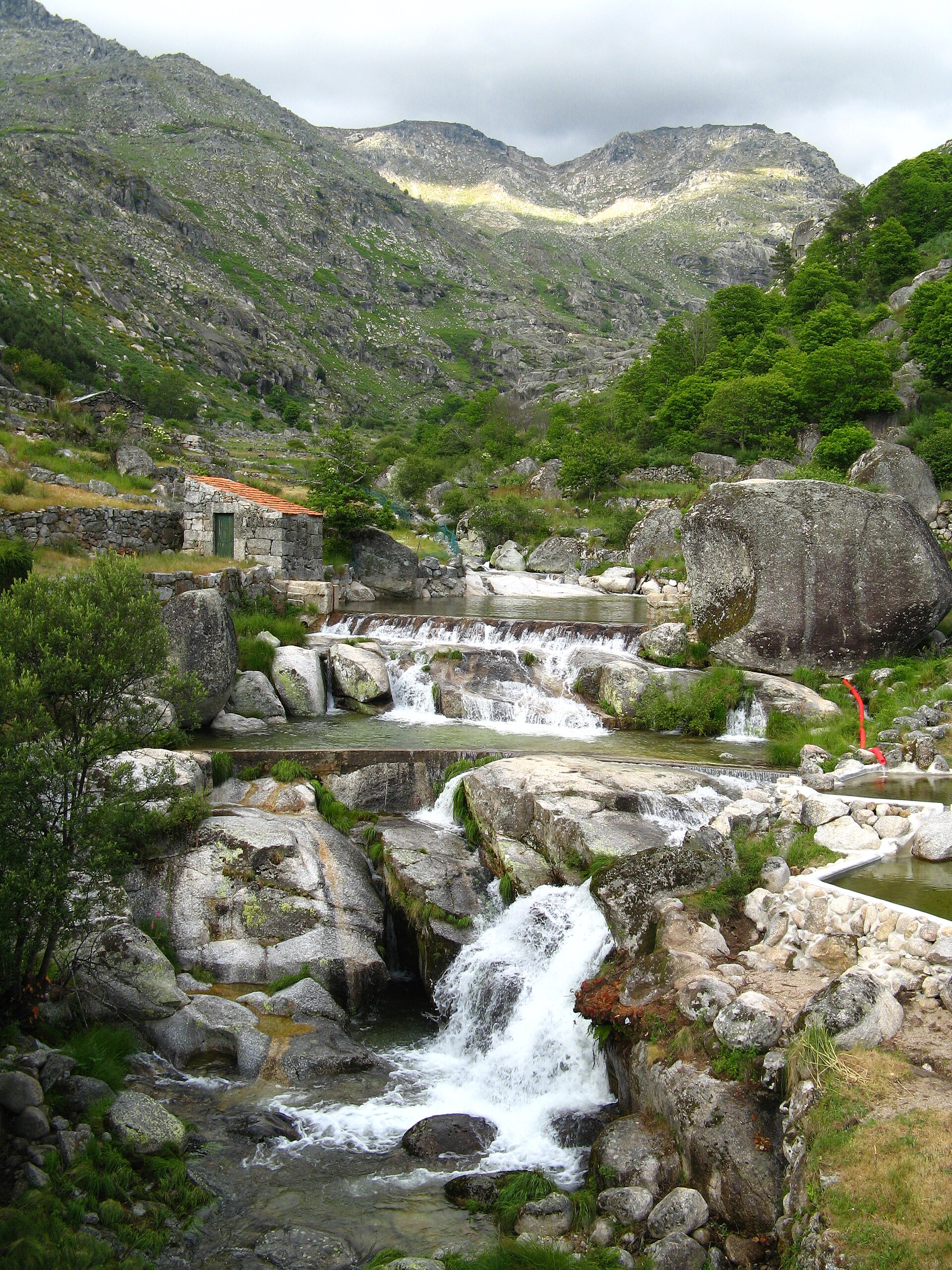
Natura 2000
Other species to discover


Sources and credits
- Presence: most-recorded species of each place on GBIF and species of Community interest in the Natura 2000 forms (EEA, CC-BY 4.0); absence from the list does not mean the species is absent.
- Common names: Wikidata (CC0) and GBIF.
- Photos and sounds: Wikimedia Commons, author and licence given for each file.
- Classification: GBIF Backbone Taxonomy (GBIF Secretariat), CC BY 4.0, doi:10.15468/39omei.
- Countries, elevations, months and maps: GBIF.org, CC0 or CC BY 4.0 occurrences only, accessed October 22, 2026, GBIF.org.
- Base map: Natural Earth (public domain).
- Excerpt: Wikipedia, CC BY-SA 4.0 (full credit below the excerpt).
- Annexes: Directive 92/43/EEC (consolidated version), © European Union, EUR-Lex.