
Fish
Swamp Minnow: where to see it
Rhynchocypris percnurus
This fish species is recorded in 7 protected areas of the atlas, and is listed on the official Natura 2000 form of each of them. Within the atlas countries, it is observed only in Poland. It is a priority species under the Habitats Directive (Annexes II and IV). In the EU its conservation status is assessed as unfavourable-inadequate (2013–2018 reporting).
Records published on GBIF by month (CC0 and CC BY 4.0 licences only), in the atlas countries, all years combined; they also reflect observer activity.
Status and protection
Habitats Directive II · IV ★
The species is listed in Annexes II and IV of the Habitats Directive, as a priority species.
In the EU its conservation status is assessed as unfavourable-inadequate in the Continental region (2013–2018 reporting).
Distribution
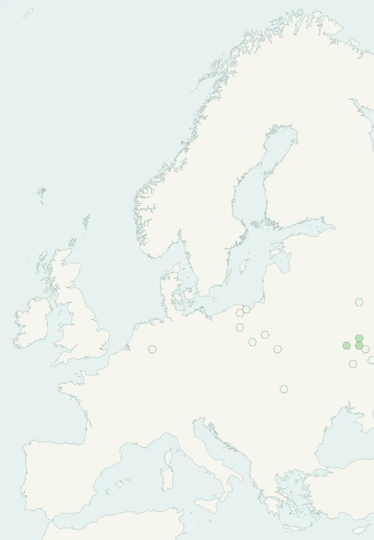
Records published on GBIF (CC0 and CC BY 4.0 licences): the darker the shade, the more records there are; they also reflect observation effort.
Atlas countries where it is recorded
From Wikipedia
The lake minnow or swamp minnow (Rhynchocypris percnurus) is a species of freshwater ray-finned fish belonging to the family Leuciscidae, which includes the daces, chubs, true minnows and related fishes. It has a wide but disjunct distribution including parts of Europe (Belarus, Czech Republic, Germany, Lithuania, Poland, Russia, and Ukraine) and Asia (northern China, Japan, Korea, and Siberia). Individuals in this species can grow up to 18.5 cm (7.3 in).
Source: Wikipedia, article “Lake minnow” (version of May 21, 2026) · history and authors · licence CC BY-SA 4.0
Protected areas where it is recorded
Natura 2000
Natura 2000

Natura 2000
Natura 2000

Natura 2000
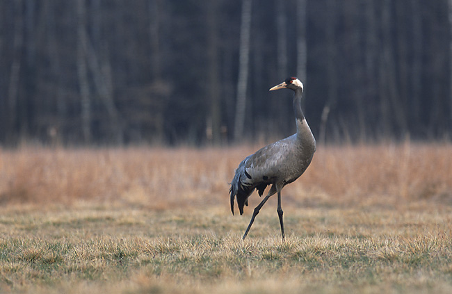
Natura 2000
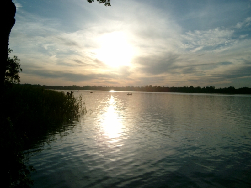
Natura 2000
Other species to discover
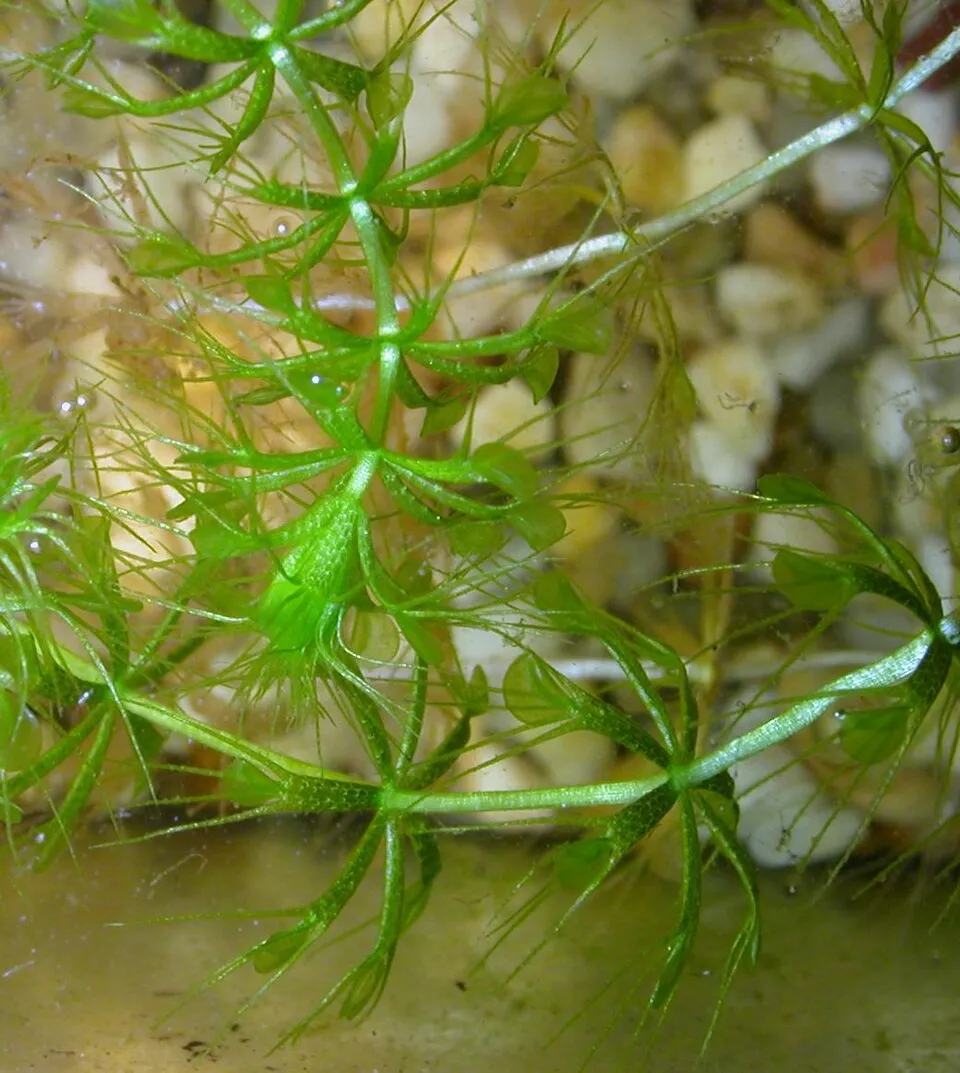 Waterwheel plant
Aldrovanda vesiculosa 3 places in common
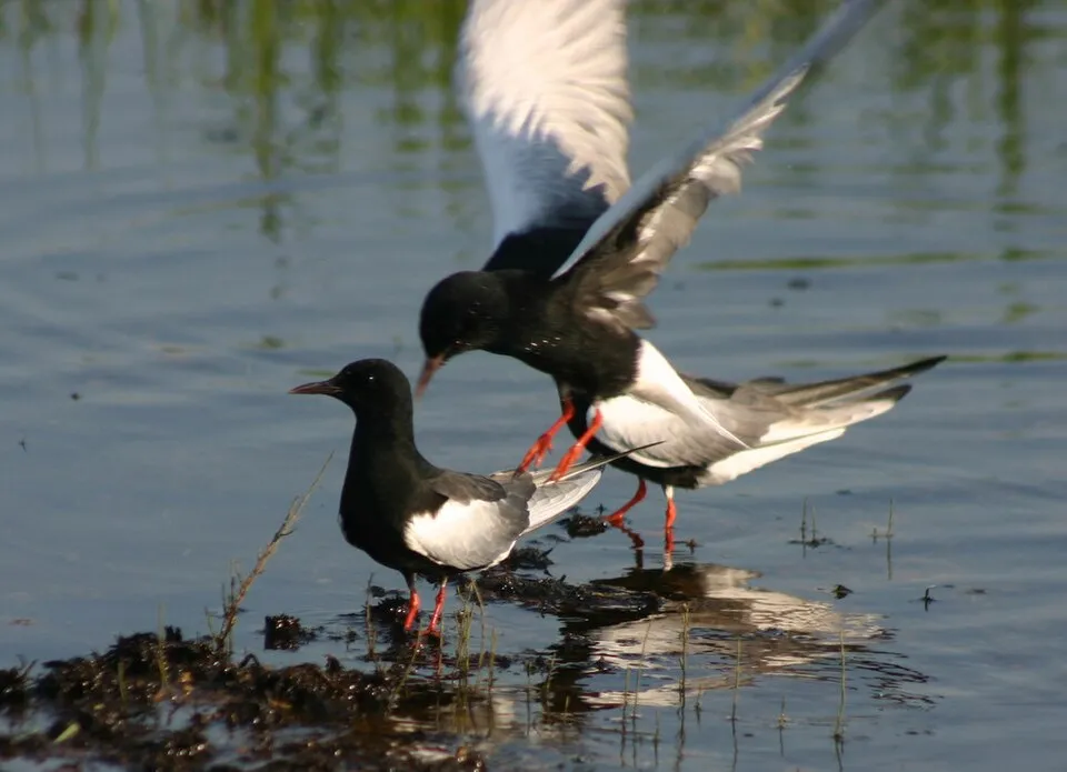 White-winged Tern
Chlidonias leucopterus 4 places in common
 Bluethroat
Luscinia svecica 6 places in common
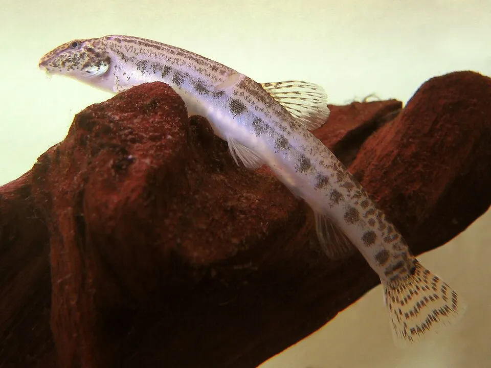 Spined loach
Cobitis taenia 7 places in common
 Lesser spotted eagle
Aquila pomarina 5 places in common
Middle Spotted Woodpecker
Dendrocopos medius 6 places in common
Sources and credits
- Presence: most-recorded species of each place on GBIF and species of Community interest in the Natura 2000 forms (EEA, CC-BY 4.0); absence from the list does not mean the species is absent.
- Common names: Wikidata (CC0) and GBIF.
- Photos and sounds: Wikimedia Commons, author and licence given for each file.
- Classification: GBIF Backbone Taxonomy (GBIF Secretariat), CC BY 4.0, doi:10.15468/39omei.
- Countries, elevations, months and maps: GBIF.org, CC0 or CC BY 4.0 occurrences only, accessed October 22, 2026, GBIF.org.
- Base map: Natural Earth (public domain).
- Excerpt: Wikipedia, CC BY-SA 4.0 (full credit below the excerpt).
- Annexes: Directive 92/43/EEC (consolidated version), © European Union, EUR-Lex.
- Conservation status: EEA / DG ENV, Article 17 Habitats Directive reporting (2013–2018), CC BY 4.0.