Australia · Terrestrial
Barnard Island Group National Park
National park of 31 hectares in Australia, established in 1994.
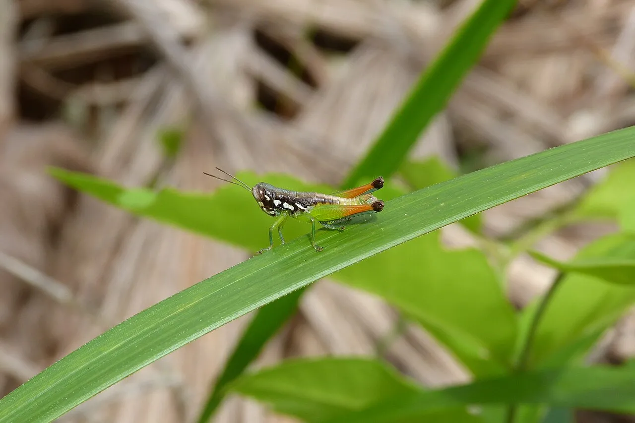
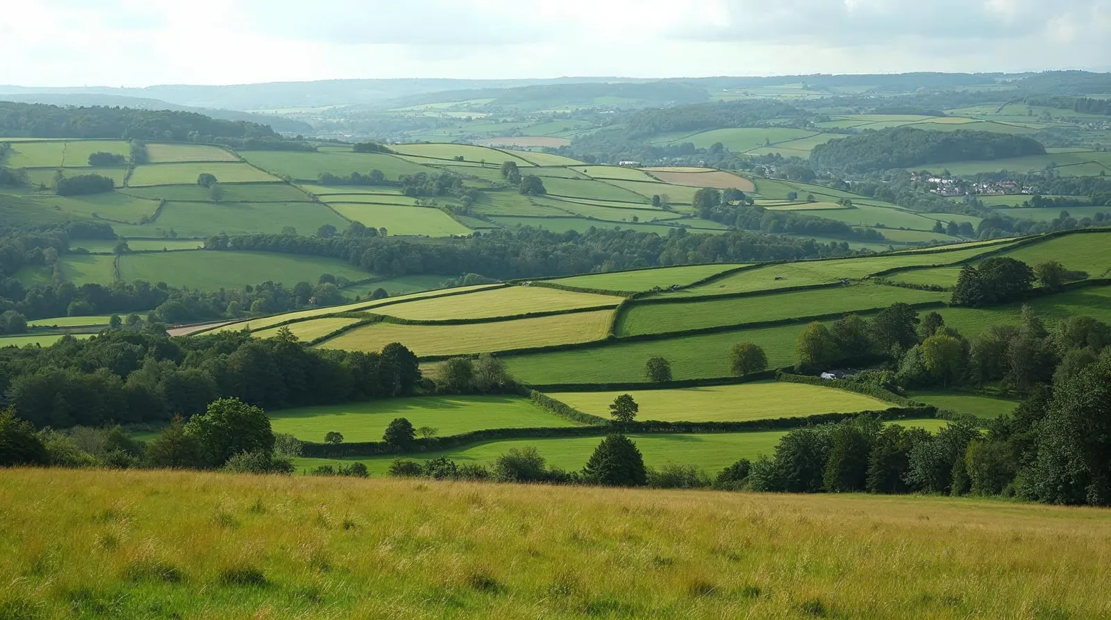
AI-generated illustration (Magnific) · typical landscape, not a photo of this place
Overview
National park of 31 hectares in Australia, established in 1994.
Barnard Island Group National Park is located in Australia (Oceania). It is a predominantly terrestrial area. Established in 1994, it covers about 31 hectares. The site is managed by Queensland Parks and Wildlife Service.
Frequently asked questions
Where is Barnard Island Group National Park?
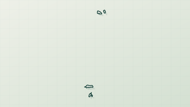
In Australia (Oceania). Representative point: 17.6747° S, 146.1728° E.
How large is Barnard Island Group National Park?
About 31 hectares. It is the 668th largest of the 678 national parks in Australia covered by Parkavela.
When was Barnard Island Group National Park established?
In 1994.
What habitats and landscapes does Barnard Island Group National Park include?
A terrestrial area.
When is the best time to visit Barnard Island Group National Park?
Best time to visit: the dry season, from August to October, with less than 90 mm of rain per month.
What is the nearest large city to Barnard Island Group National Park?
Nearest towns of over 50,000 people, as the crow flies: Cairns (93 km). Nearest airport: Cairns (CNS), about 97 km away.
How can I reach Barnard Island Group National Park by train?
The nearest railway station is Innisfail, about 23 km from the site boundary.
Which species can be seen in Barnard Island Group National Park?
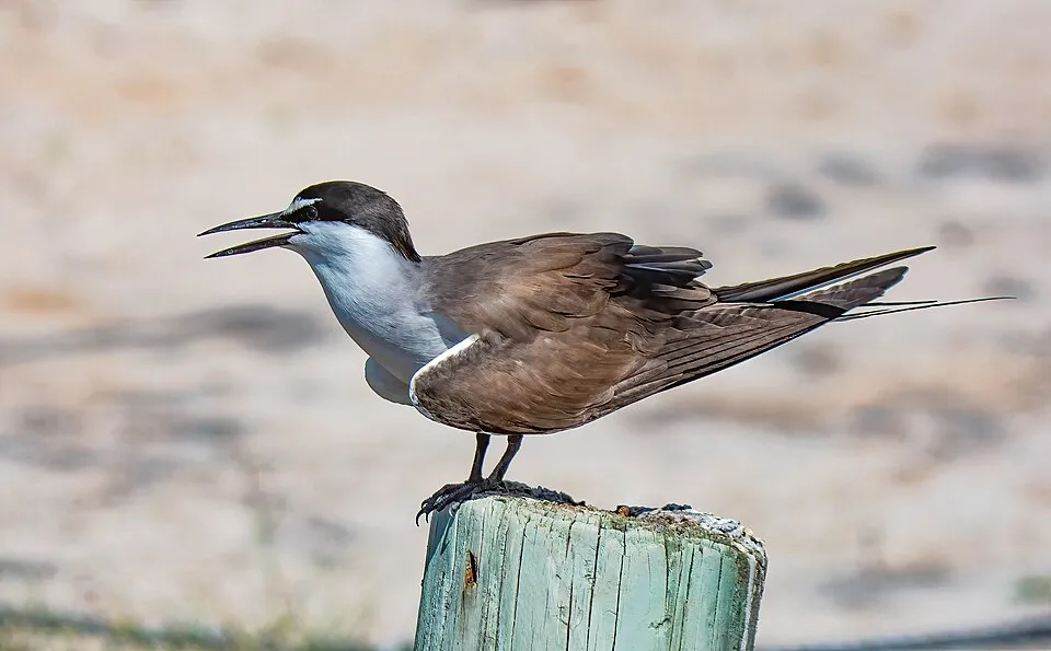
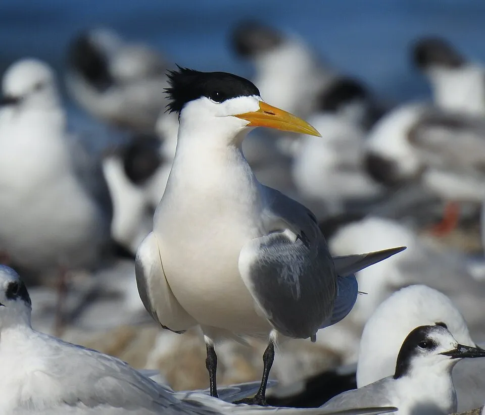
Among the species most often recorded on GBIF are Onychoprion anaethetus (Bridled Tern), Sterna sumatrana (Black-naped Tern), Thalasseus bergii (Greater Crested Tern) and Pandion cristatus (Eastern Osprey).
Who manages Barnard Island Group National Park?
Queensland Parks and Wildlife Service.
What is the official website of Barnard Island Group National Park?
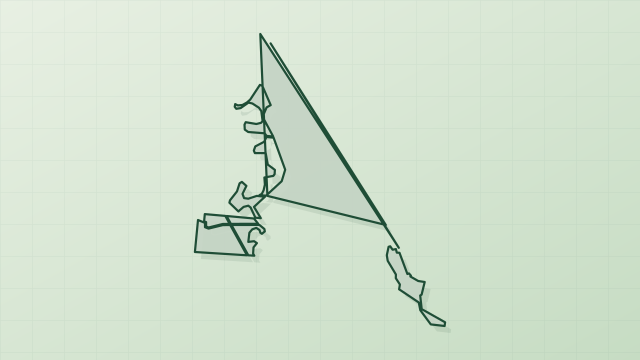
© OpenStreetMap
Download the boundary: GeoJSON · GPX Boundary © OpenStreetMap contributors (ODbL).
Geography
The representative point of the site lies at around 3 m above sea level. Over the 1996–2025 period, the mean annual temperature is about 23.5 °C and total precipitation reaches roughly 2,357 mm per year. The warmest month is usually January, the coolest July, and the wettest March.
Area
- Area
- 31 ha
- Elevation
- 3 m
- Mean slope
- 13°
- Coordinates
- -17.6747, 146.1728
Terrain: Mapzen Terrain Tiles (SRTM, USGS)
Climate
● Mean temperature (°C) · ▮ Precipitation (mm)
Source: Copernicus ERA5-Land (C3S, doi:10.24381/cds.68d2bb30), monthly averages 1996–2025 interpolated to the representative point, temperatures adjusted for elevation.
Contains modified Copernicus Climate Change Service information 2026. Neither the European Commission nor ECMWF is responsible for any use that may be made of the Copernicus information or data it contains.
Biodiversity
Based on occurrences aggregated by GBIF, several species are regularly recorded within the site. Among the most frequent are Onychoprion anaethetus (Bridled Tern), Sterna sumatrana (Black-naped Tern), Thalasseus bergii (Greater Crested Tern) and Pandion cristatus (Eastern Osprey). The full list of documented taxa is shown below.
Species to look out for



Observed species
Occurrences documented via GBIF; they are neither an exhaustive inventory nor proof of current presence.
- Bridled Tern · Onychoprion anaethetus · 120
- Black-naped Tern · Sterna sumatrana · 78
- Greater Crested Tern · Thalasseus bergii · 75
- Eastern Osprey · Pandion cristatus · 73
- Lesser Crested Tern · Thalasseus bengalensis · 68
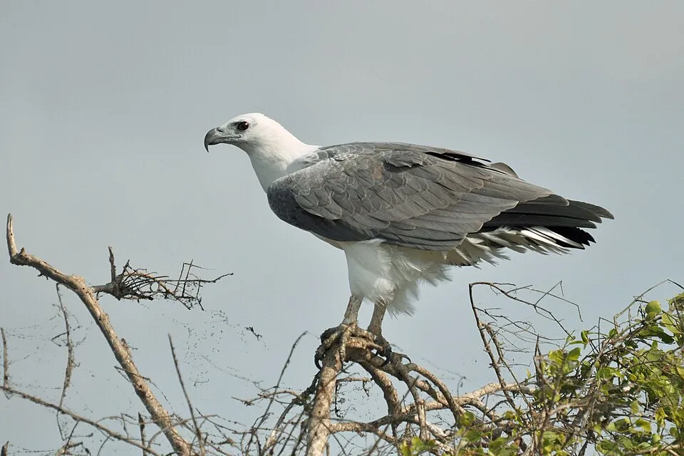
- White-bellied Sea Eagle · Haliaeetus leucogaster · 54
- Pacific Reef Heron · Egretta sacra · 52
- Queensland nutmeg · Myristica insipida · 43
- Roseate Tern · Sterna dougallii · 41
- Pied Imperial Pigeon · Ducula bicolor · 37
- Varied Honeyeater · Gavicalis versicolor · 30
- White-breasted Woodswallow · Artamus leucoryn · 26
+18 more species
- Black-ash · Planchonella obovata · 23
- Sooty Oystercatcher · Haematopus fuliginosus · 22
- Brown damson · Terminalia arenicola · 20
- Ruddy Turnstone · Arenaria interpres · 19
- Orange-footed Scrubfowl · Megapodius reinwardt · 16
- Ixora timorensis · 14
- Australasian Figbird · Sphecotheres vieilloti · 14
- North Queensland purple laurel · Cryptocarya hypospodia · 13
- Bar-shouldered Dove · Geopelia humeralis · 12
- Little Tern · Sternula albifrons · 12
- Sooty Tern · Onychoprion fuscatus · 12
- Myristica globosa · 12
- Sacred Kingfisher · Todiramphus sanctus · 11
- Grey-tailed Tattler · Tringa brevipes · 11
- Beach Stone-curlew · Esacus magnirostris · 11
- Buff Beech · Gomphandra australiana · 11
- Native Olive · Chionanthus ramiflorus · 11
- Peach-leaf-poisonbush · Trema tomentosum · 9
Records: GBIF.org (CC-BY). Names: Wikidata (CC0), GBIF. Photos: Wikimedia Commons.
Conservation challenges
The primary purpose of the site is to preserve its natural habitats and the biodiversity they support. The species recorded (Biodiversity tab) reflect its ecological value. Its status as a national park sets the regulatory framework for its protection.
At night, the area gives off virtually no artificial light detectable from space (NASA VIIRS Black Marble composite, 2016).
Pressure indicators
Light at night
0%
of the area gives off artificial light visible from space
DarkLit
Sources: Global Forest Change (Hansen et al., University of Maryland, via Global Forest Watch, CC-BY 4.0); EFFIS, European Commission / Copernicus; NASA Black Marble 2016 (public domain); CORINE Land Cover 2018 (Copernicus) or MODIS.
Practical information
Cities and airport
- Cairns
93 km as the crow flies - Airport: Cairns (CNS)
97 km as the crow flies
Data © OpenStreetMap contributors (ODbL) · Wikidata (CC0)
Access and visiting
The nearest railway station is Innisfail, about 23 km from the site boundary. Nearest towns of over 50,000 people, as the crow flies: Cairns (93 km). Nearest airport: Cairns (CNS), about 97 km away. About 6,300 people live within 20 km of the site boundary, 890 of them within 10 km (GHSL estimate, 2020). To plan a visit (access, opening periods, visitor rules), it is best to consult the official information from the managing body (Queensland Parks and Wildlife Service) and the official website listed in this page's sources.
Source: OpenStreetMap (ODbL), Wikidata (CC0), November 2026.
When to visit
Best time to visit: the dry season, from August to October, with less than 90 mm of rain per month. Precipitation peaks from December to April (up to 400 mm per month). Day length ranges from about 11 h 05 min in June to 13 h 11 min in December. Wildlife records published on GBIF peak for birds (November) and plants (May). These peaks also reflect when observers are most active.
Source: Copernicus ERA5-Land (C3S), monthly averages 1996–2025 at the representative point, temperatures adjusted for elevation.
Contains modified Copernicus Climate Change Service information 2026. Neither the European Commission nor ECMWF is responsible for any use that may be made of the Copernicus information or data it contains.
Wildlife records calendar
JFMAMJJASOND
Birds
Plants
Monthly records published on GBIF (CC-BY), relative to the busiest month; also reflects observer activity.
Sources and licences
- Wikidata: Q808426
- OpenStreetMap: relation 13013485
- Official website: http://www.nprsr.qld.gov.au/parks/barnard-island
- Wikipedia: en.wikipedia.org/wiki/Barnard_Island_Group_National_Park
- WDPA: 125983
References
- cds.climate.copernicus.eu: climate · CC-BY-4.0
- registry.opendata.aws: elevation of the reference point, detailed relief · PD
- land.copernicus.eu: land cover · COPERNICUS
- doi.org: population around the site · CC-BY-4.0
- wikidata.org: official area, highest point, establishment date, protected heritage, managing body, official name, nearby cities and airport, lake depths, official website · CC0-1.0
- gbif.org: coral records, seasonality of sightings, invasive alien species, observed species · CC-BY-4.0
- en.eurovelo.com: EuroVelo cycle routes · ODbL-1.0
- cycling.waymarkedtrails.org: cycle routes · ODbL-1.0
- opentopodata.org: elevations · PD
- globalforestwatch.org: tree cover loss · CC-BY-4.0
- earthobservatory.nasa.gov: night light · PD
- openstreetmap.org: access and peaks, trail difficulty · ODbL-1.0
- naturalearthdata.com: sea share · PD
- wikidata.org: Wikipedia article · CC-BY-SA-4.0
Data © OpenStreetMap contributors (ODbL), Wikidata (CC0) and the sources cited.