Plant
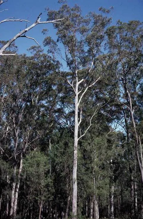
Blackdown-stringybark
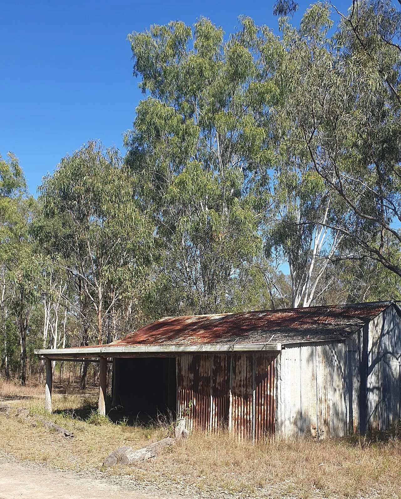
Eucalyptus sphaerocarpa322 records © Ian Brooker and David Kleinig · CC BY 3.0
Australia · Terrestrial
National park of 47,874 hectares in Australia, established in 1991.
National park of 47,874 hectares in Australia, established in 1991.
Blackdown Tableland National Park is located in Australia (Oceania). It is a predominantly terrestrial area. Established in 1991, it covers about 47,874 hectares. The site is managed by Queensland Parks and Wildlife Service.
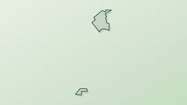
In Australia (Oceania). Representative point: 23.7236° S, 149.0600° E.
About 47,874 hectares (479 km²). It is the 111th largest of the 678 national parks in Australia covered by Parkavela.
In 1991.
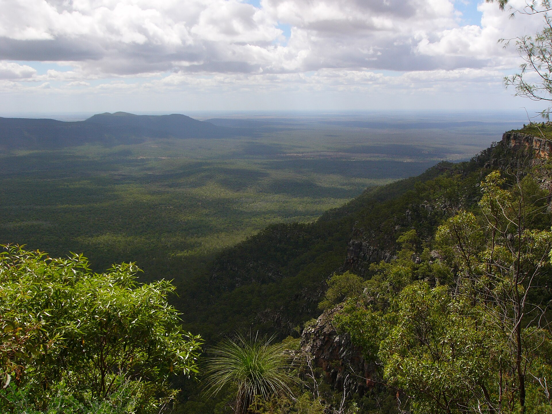
A terrestrial area, with forests.
Best time to visit: from April to October, with average temperatures of 15 to 24 °C and moderate rainfall.
Nearest airport: Emerald (EMD), about 84 km away.
The nearest railway station is Bluff, about 11 km from the site boundary.
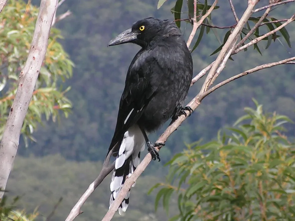
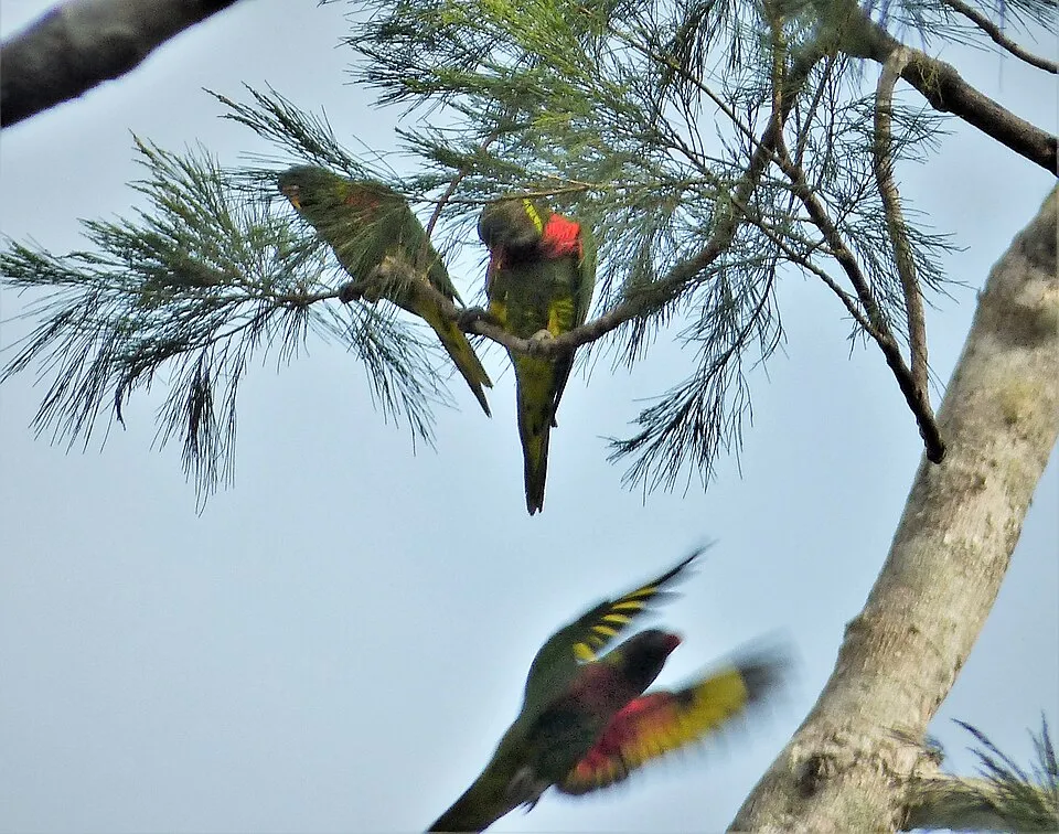
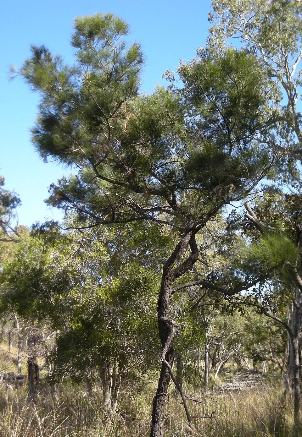
Among the species most often recorded on GBIF are Eucalyptus sphaerocarpa (Blackdown-stringybark), Strepera graculina (Pied Currawong), Trichoglossus haematodus (Coconut Lorikeet) and Allocasuarina torulosa (Forest-oak).
Queensland Parks and Wildlife Service.
© OpenStreetMap
Download the boundary: GeoJSON · GPX Boundary © OpenStreetMap contributors (ODbL).
The representative point of the site lies at around 310 m above sea level. Over the 1996–2025 period, the mean annual temperature is about 22.0 °C and total precipitation reaches roughly 665 mm per year. The warmest month is usually January, the coolest July, and the wettest January.
Terrain: Mapzen Terrain Tiles (SRTM, USGS)
● Mean temperature (°C) · ▮ Precipitation (mm)
Source: Copernicus ERA5-Land (C3S, doi:10.24381/cds.68d2bb30), monthly averages 1996–2025 interpolated to the representative point, temperatures adjusted for elevation.
Contains modified Copernicus Climate Change Service information 2026. Neither the European Commission nor ECMWF is responsible for any use that may be made of the Copernicus information or data it contains.
According to the global MODIS land cover (NASA, 2024), the site is mainly made up of forests (54%), heath and scrub (27%) and grassland and meadows (20%). It is mostly dense evergreen broadleaved forest. Elevation ranges from about 210 to 900 m (sampled elevations, SRTM).
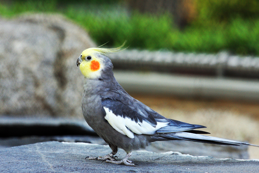
Based on occurrences aggregated by GBIF, several species are regularly recorded within the site. Among the most frequent are Eucalyptus sphaerocarpa (Blackdown-stringybark), Strepera graculina (Pied Currawong), Trichoglossus haematodus (Coconut Lorikeet) and Allocasuarina torulosa (Forest-oak). The full list of documented taxa is shown below.
Plant
322 records © Ian Brooker and David Kleinig · CC BY 3.0
Bird
218 records © gailhampshire from Cradley, Malvern, U.K · CC BY 2.0
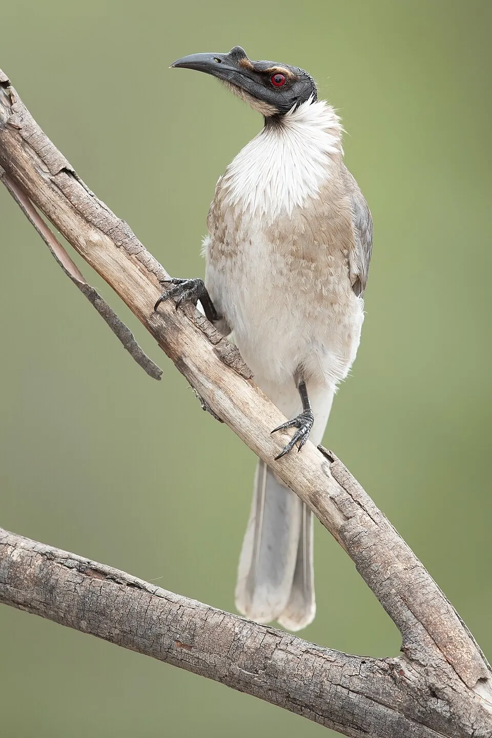
Bird
189 records © JJ Harrison (https://www.jjharrison.com.au/) · CC BY-SA 4.0
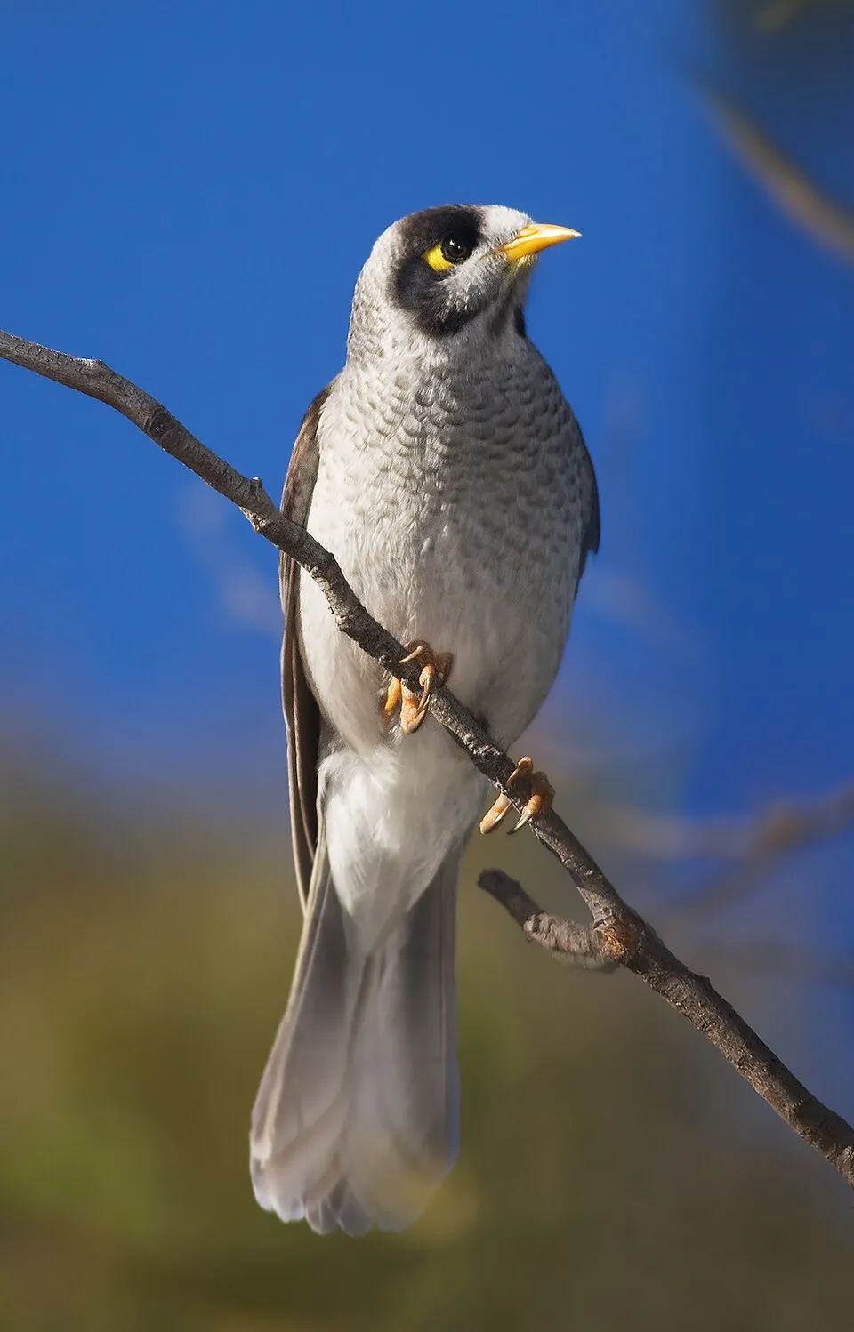
Bird
179 records © JJ Harrison (https://www.jjharrison.com.au/) · CC BY-SA 3.0
Occurrences documented via GBIF; they are neither an exhaustive inventory nor proof of current presence.
Records: GBIF.org (CC-BY). Names: Wikidata (CC0), GBIF. Photos: Wikimedia Commons.
The primary purpose of the site is to preserve its natural habitats and the biodiversity they support. The species recorded (Biodiversity tab) reflect its ecological value. Its status as a national park sets the regulatory framework for its protection.
According to Global Forest Change data (University of Maryland, Global Forest Watch), about 2,400 ha of tree cover were lost within the boundary between 2001 and 2023 (5% of its area), peaking in 2014 and 2018. These losses include logging, storms and fires, and do not account for regrowth. At night, the area gives off virtually no artificial light detectable from space (NASA VIIRS Black Marble composite, 2016). Since 2000, 13 invasive alien species have been recorded within the site (GBIF observations). Among them: Rhinella marina (Cane toad), Lampropholis delicata (Rainbow Skink) and Acacia podalyriifolia (Pearl wattle).
2,397 ha
2001–2023 · 5% of the area
0%
of the area gives off artificial light visible from space
13
recorded since 2000
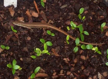 Rainbow Skink
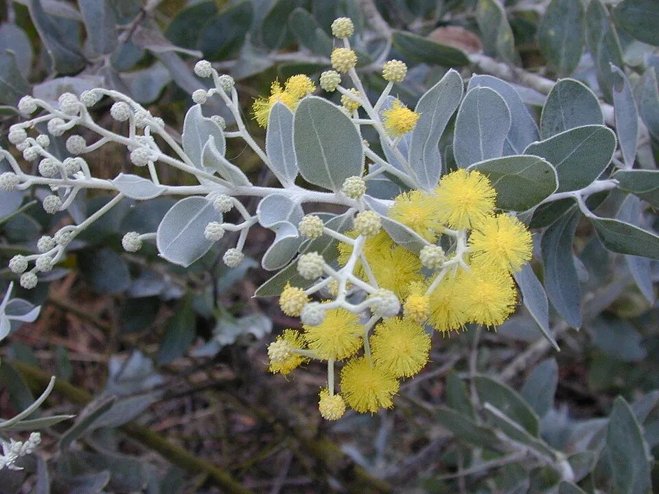 Pearl wattle
 West Indian dropseed
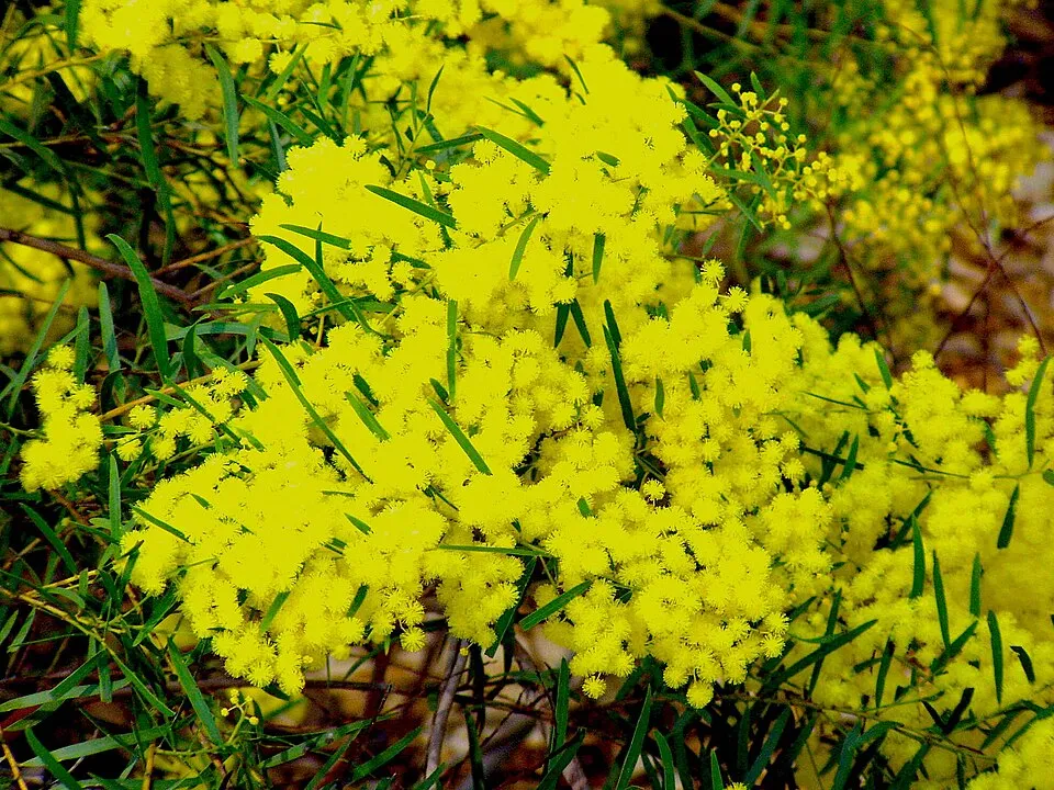 Fringed wattle
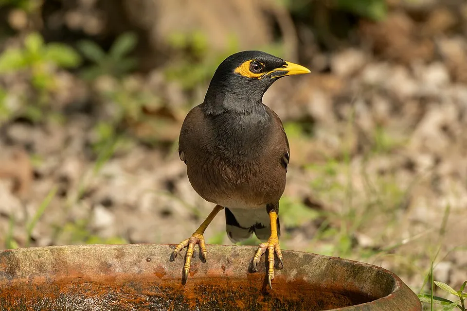 Common myna
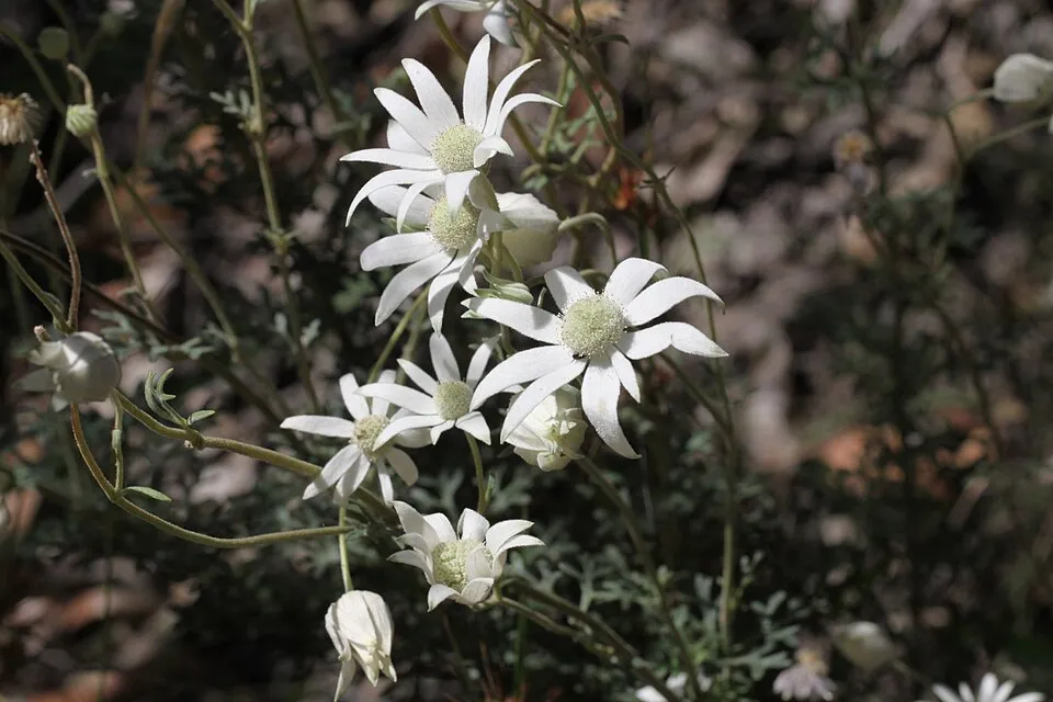 Flannel-flower
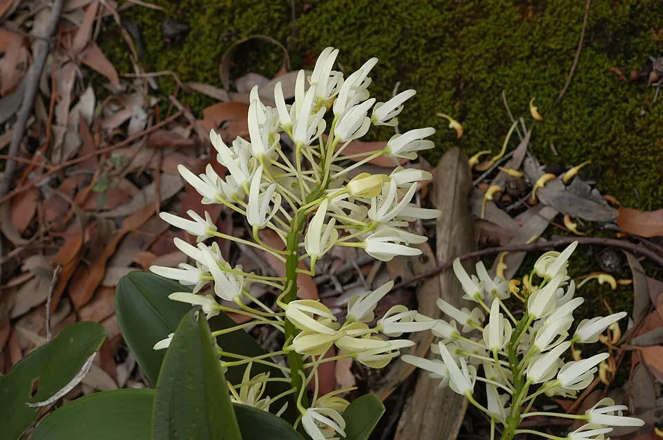 Rock orchid
Photos: Rainbow Skink © Poyt448 Peter Woodard · Public domain; Pearl wattle © Forest & Kim Starr · CC BY 3.0; West Indian dropseed © Harry Rose from South West Rocks, Australia · CC BY 2.0; Fringed wattle © Dlanglois · CC BY-SA 3.0; Common myna © Tisha Mukherjee · CC BY-SA 4.0; Flannel-flower © David Lochlin from Australia · CC BY 2.0; Rock orchid © Doug Beckers from Killcare Heights, Australia · CC BY-SA 2.0
Sources: Global Forest Change (Hansen et al., University of Maryland, via Global Forest Watch, CC-BY 4.0); EFFIS, European Commission / Copernicus; NASA Black Marble 2016 (public domain); CORINE Land Cover 2018 (Copernicus) or MODIS.
Invasive alien species: Global Register of Introduced and Invasive Species (ISSG, CC BY 4.0); Union list, Regulation (EU) 1143/2014 (INBO, CC0); GBIF.org records (CC0 / CC BY 4.0), at least 2 per species.
5 public car parks listed within the site
Data © OpenStreetMap contributors (ODbL) · Wikidata (CC0)
The nearest railway station is Bluff, about 11 km from the site boundary. Nearest airport: Emerald (EMD), about 84 km away. Fewer than 5,000 people live within 20 km of the site boundary, a very sparsely populated area; the site itself is virtually uninhabited (GHSL estimate, 2020). Public car parks listed within the site: 5. To plan a visit (access, opening periods, visitor rules), it is best to consult the official information from the managing body (Queensland Parks and Wildlife Service) and the official website listed in this page's sources.
Source: OpenStreetMap (ODbL), Wikidata (CC0), November 2026.
Best time to visit: from April to October, with average temperatures of 15 to 24 °C and moderate rainfall. Precipitation peaks from December to February (up to 110 mm per month). Day length ranges from about 10 h 41 min in June to 13 h 35 min in December. Wildlife records published on GBIF peak for birds (November), plants (September), butterflies and moths (October), dragonflies (December) and mammals (November). These peaks also reflect when observers are most active.
Source: Copernicus ERA5-Land (C3S), monthly averages 1996–2025 at the representative point, temperatures adjusted for elevation.
Contains modified Copernicus Climate Change Service information 2026. Neither the European Commission nor ECMWF is responsible for any use that may be made of the Copernicus information or data it contains.
Monthly records published on GBIF (CC-BY), relative to the busiest month; also reflects observer activity.
Data © OpenStreetMap contributors (ODbL), Wikidata (CC0) and the sources cited.