
Australia · Terrestrial
Boyndaminup National Park
National park of 5,443 hectares in Australia, established in 2004.
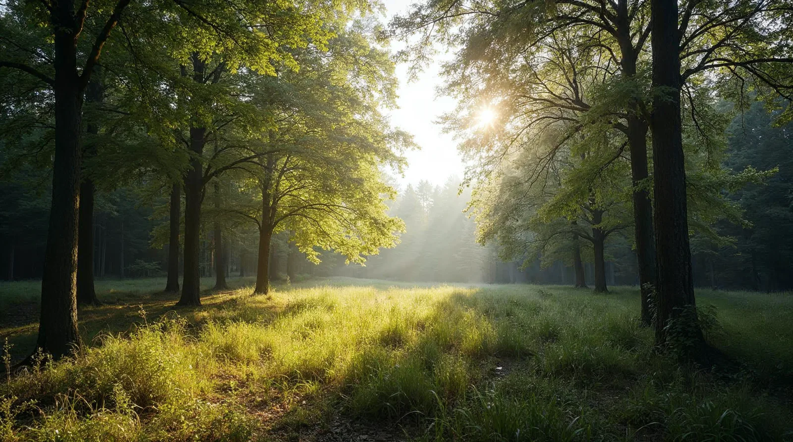
AI-generated illustration (Magnific) · typical landscape, not a photo of this place
Overview
National park of 5,443 hectares in Australia, established in 2004.
Boyndaminup National Park is located in Australia (Oceania). It is a predominantly terrestrial area. Established in 2004, it covers about 5,443 hectares.
In our collections
Frequently asked questions
Where is Boyndaminup National Park?
In Australia (Oceania). Representative point: 34.5187° S, 116.5638° E.
How large is Boyndaminup National Park?
About 5,443 hectares (54 km²). It is the 364th largest of the 678 national parks in Australia covered by Parkavela.
When was Boyndaminup National Park established?
In 2004.
What habitats and landscapes does Boyndaminup National Park include?
A terrestrial area, with forests.
When is the best time to visit Boyndaminup National Park?
Best time to visit: from October to April, with average temperatures of 13 to 21 °C and moderate rainfall.
Which species can be seen in Boyndaminup National Park?
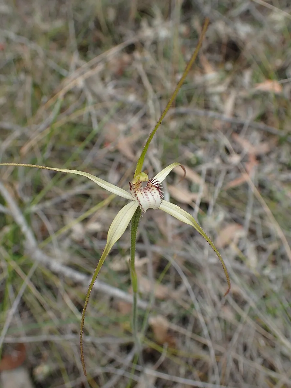
Among the species most often recorded on GBIF are Caladenia christineae (Christine's spider orchid), Caladenia harringtoniae (Pink spider orchid), Calytrix flavescens (Summer Starflower) and Lilaeopsis polyantha.
© OpenStreetMap
Download the boundary: GeoJSON · GPX Boundary © OpenStreetMap contributors (ODbL).
Geography
The representative point of the site lies at around 166 m above sea level. Over the 1996–2025 period, the mean annual temperature is about 15.3 °C and total precipitation reaches roughly 537 mm per year. The warmest month is usually February, the coolest July, and the wettest July.
Area
- Area
- 5,443 ha
- Elevation
- 166 m
- Coordinates
- -34.5187, 116.5638
Climate
● Mean temperature (°C) · ▮ Precipitation (mm)
Source: Copernicus ERA5-Land (C3S, doi:10.24381/cds.68d2bb30), monthly averages 1996–2025 interpolated to the representative point, temperatures adjusted for elevation.
Contains modified Copernicus Climate Change Service information 2026. Neither the European Commission nor ECMWF is responsible for any use that may be made of the Copernicus information or data it contains.
Natural habitats
According to the global MODIS land cover (NASA, 2024), the site is mainly made up of forests (79%) and heath and scrub (21%). It is mostly dense evergreen broadleaved forest.
Biodiversity
Based on occurrences aggregated by GBIF, several species are regularly recorded within the site. Among the most frequent are Caladenia christineae (Christine's spider orchid), Caladenia harringtoniae (Pink spider orchid), Calytrix flavescens (Summer Starflower) and Lilaeopsis polyantha. The full list of documented taxa is shown below.
Species to look out for
Plant
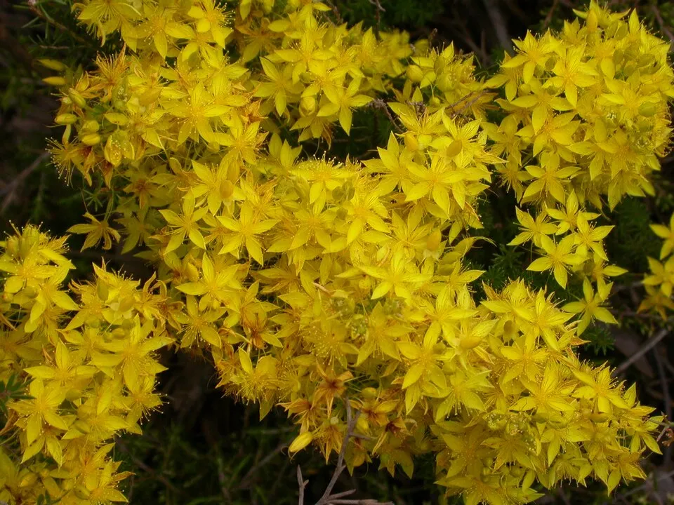
Summer Starflower
Calytrix flavescens4 records © John Jennings from Adelaide, Australia · CC BY 2.0
Plant
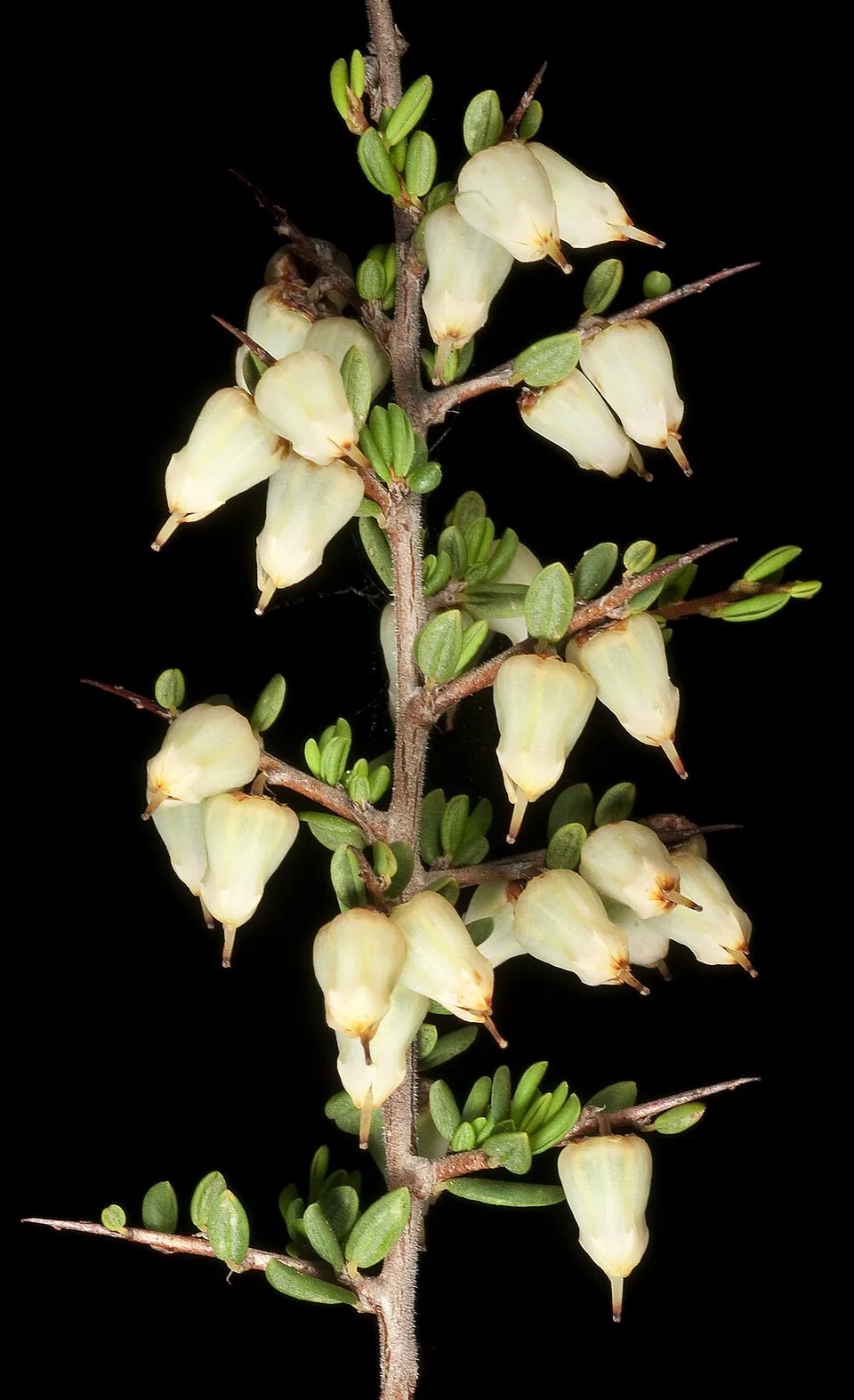
Waxy cryptandra
Cryptandra arbutiflora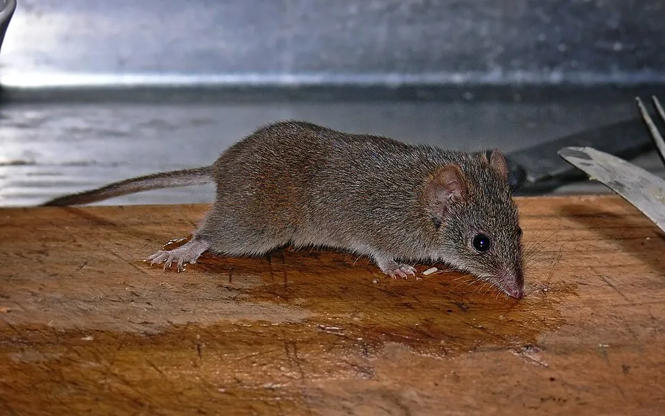

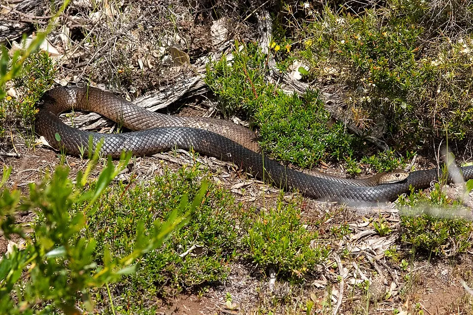
Observed species
Occurrences documented via GBIF; they are neither an exhaustive inventory nor proof of current presence.
- Christine's spider orchid · Caladenia christineae · 12
- Pink spider orchid · Caladenia harringtoniae · 5
- Summer Starflower · Calytrix flavescens · 4
- Lilaeopsis polyantha · 4
- Ainudrilus nharna · 4
- Waxy cryptandra · Cryptandra arbutiflora · 4
- Yellow-footed antechinus · Antechinus flavipes · 3
- Black Rat · Rattus rattus · 3
- Lake Muir spider orchid · Caladenia validinervia · 3
- Grey-bellied Dunnart · Sminthopsis fuliginosus · 2
- Dugite · Pseudonaja affinis · 2
- Laccocephalum sclerotinum · 2
+18 more species
- Rosy sandcrocus · Romulea rosea · 2
- Large-leafed sun orchid · Thelymitra macrophylla · 2
- Tall donkey orchid · Diuris drummondii · 2
- Melaleuca bracteosa · 2
- Euchaetis metallota · 2
- Baudin's Black Cockatoo · Zanda baudinii · 1
- Triplectides australis · 1
- Splendid Fairywren · Malurus splendens · 1
- Coastal saw-sedge · Gahnia trifida · 1
- Burchardia monantha · 1
- Caladenia pholcoidea · 1
- Cardamine paucijuga · 1
- Asteridea nivea · 1
- Leafy sundew · Drosera stolonifera · 1
- Grevillea trifida · 1
- Candle hakea · Hakea ruscifolia · 1
- Microtis quadrata · 1
- Eutaxia virgata · 1
Records: GBIF.org (CC-BY). Names: Wikidata (CC0), GBIF. Photos: Wikimedia Commons.
Conservation challenges
The primary purpose of the site is to preserve its natural habitats and the biodiversity they support. The species recorded (Biodiversity tab) reflect its ecological value. Its status as a national park sets the regulatory framework for its protection.
According to Global Forest Change data (University of Maryland, Global Forest Watch), about 1,090 ha of tree cover were lost within the boundary between 2001 and 2023 (20% of its area), peaking in 2016 and 2021. These losses include logging, storms and fires, and do not account for regrowth. At night, the area gives off virtually no artificial light detectable from space (NASA VIIRS Black Marble composite, 2016).
Pressure indicators
Tree cover lost
1,092 ha
2001–2023 · 20% of the area
20012023
Light at night
0%
of the area gives off artificial light visible from space
DarkLit
Invasive alien species
2
recorded since 2000
Black Rat
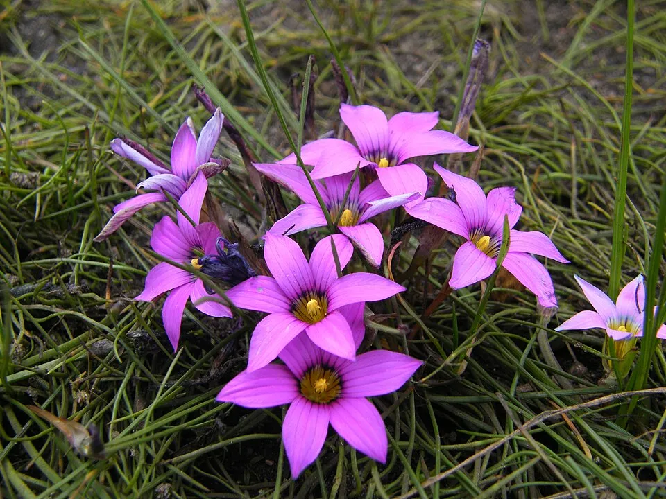 Rosy sandcrocus
Photos: Black Rat © Jakub Hałun · CC BY-SA 4.0; Rosy sandcrocus © Andrew massyn · CC BY-SA 3.0
Sources: Global Forest Change (Hansen et al., University of Maryland, via Global Forest Watch, CC-BY 4.0); EFFIS, European Commission / Copernicus; NASA Black Marble 2016 (public domain); CORINE Land Cover 2018 (Copernicus) or MODIS.
Invasive alien species: Global Register of Introduced and Invasive Species (ISSG, CC BY 4.0); Union list, Regulation (EU) 1143/2014 (INBO, CC0); GBIF.org records (CC0 / CC BY 4.0), at least 2 per species.
Access and visiting
Fewer than 5,000 people live within 20 km of the site boundary, a very sparsely populated area; the site itself is virtually uninhabited (GHSL estimate, 2020). To plan a visit (access, opening periods, visitor rules), it is best to consult the official information from the managing body and the official website listed in this page's sources.
When to visit
Best time to visit: from October to April, with average temperatures of 13 to 21 °C and moderate rainfall. Precipitation peaks in July and August (up to 80 mm per month). Day length ranges from about 9 h 51 min in June to 14 h 27 min in December.
Source: Copernicus ERA5-Land (C3S), monthly averages 1996–2025 at the representative point, temperatures adjusted for elevation.
Contains modified Copernicus Climate Change Service information 2026. Neither the European Commission nor ECMWF is responsible for any use that may be made of the Copernicus information or data it contains.
Sources and licences
- Wikidata: Q39080062
- OpenStreetMap: relation 12936912
- Wikipedia: en.wikipedia.org/wiki/Boyndaminup_National_Park
- WDPA: 354316
References
- cds.climate.copernicus.eu: climate · CC-BY-4.0
- registry.opendata.aws: elevation of the reference point, detailed relief · PD
- lpdaac.usgs.gov: land cover · PD
- doi.org: population around the site · CC-BY-4.0
- naturalearthdata.com: sea share · PD
- wikidata.org: official area, establishment date, protected heritage, official name, nearby cities and airport, lake depths · CC0-1.0
- en.eurovelo.com: EuroVelo cycle routes · ODbL-1.0
- cycling.waymarkedtrails.org: cycle routes · ODbL-1.0
- opentopodata.org: elevations · PD
- globalforestwatch.org: tree cover loss · CC-BY-4.0
- gbif.org: seasonality of sightings, invasive alien species, observed species · CC-BY-4.0
- earthobservatory.nasa.gov: night light · PD
- openstreetmap.org: access and peaks, trail difficulty · ODbL-1.0
- nsidc.org: snow cover · PD
- wikidata.org: Wikipedia article · CC-BY-SA-4.0
Data © OpenStreetMap contributors (ODbL), Wikidata (CC0) and the sources cited.