Australia · Mixed
Christmas Island National Park
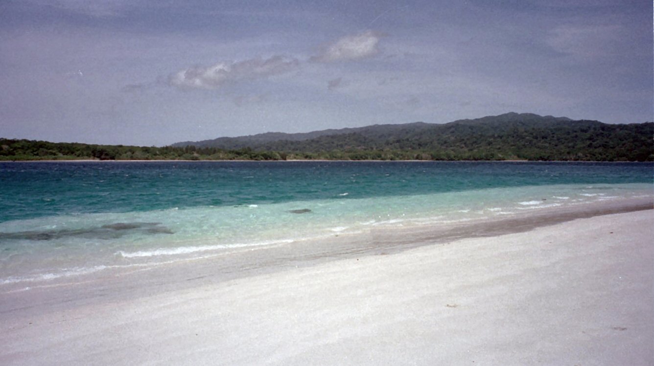
National park of 8,500 hectares in Australia, established in 1980.
Overview
National park of 8,500 hectares in Australia, established in 1980.
Christmas Island National Park is located in Australia (Oceania). It covers both land and sea. Established in 1980, it covers about 8,500 hectares. The site is managed by Director of National Parks.
Protections and designations
Ramsar site
Protected as a national park. International labels and designations: Ramsar site (“Hosnies Spring”). Key dates: established in 1980 and Ramsar Site in 1990.
In our collections
Timeline
-
1980
Established
-
1990
Ramsar Site (wetland of international importance) Hosnies Spring
Sources: Wikidata (CC0) for establishment and international labels; EEA Natura 2000 database (CC-BY 4.0) for site designation dates.
Frequently asked questions
Where is Christmas Island National Park?
In Australia (Oceania). Representative point: 10.4915° S, 105.6232° E.
How large is Christmas Island National Park?
About 8,500 hectares (85 km²). It is the 315th largest of the 678 national parks in Australia covered by Parkavela. About 4,700 ha are at sea.
When was Christmas Island National Park established?
In 1980.
What habitats and landscapes does Christmas Island National Park include?
An area spanning land and sea, with forests, coasts and coral reefs.
What is the highest point of Christmas Island National Park?
Murray Hill, at 361 m (OpenStreetMap).
Which international labels apply to Christmas Island National Park?
Ramsar site (“Hosnies Spring”).
Are there historic monuments in Christmas Island National Park?
Yes. According to Wikidata, one monument listed on Australian state heritage registers or the Commonwealth Heritage List stands within the boundary. For example: “Christmas Island Natural Areas” in Christmas Island.
Where can I get visitor information on site?
Christmas Island Visitor Centre and Christmas Island National Park HEADQUARTERS.
Which species can be seen in Christmas Island National Park?
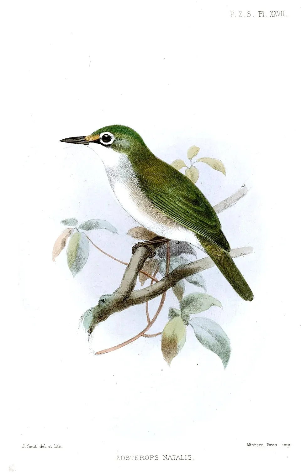
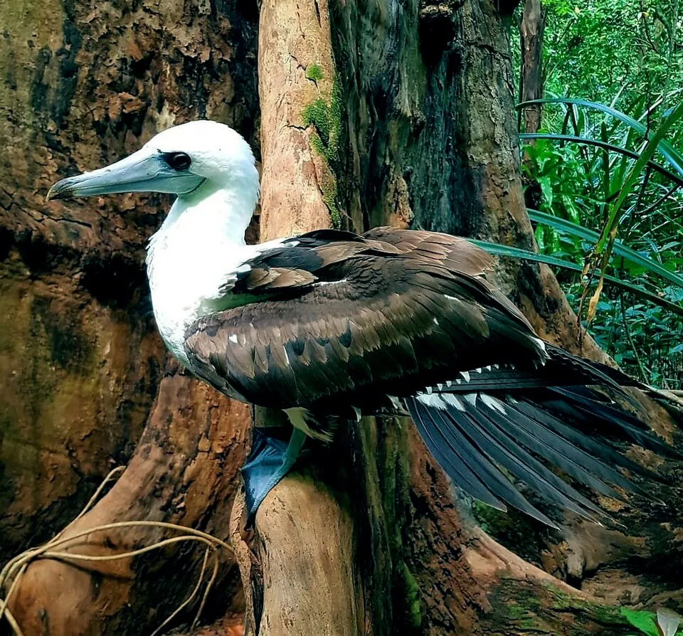
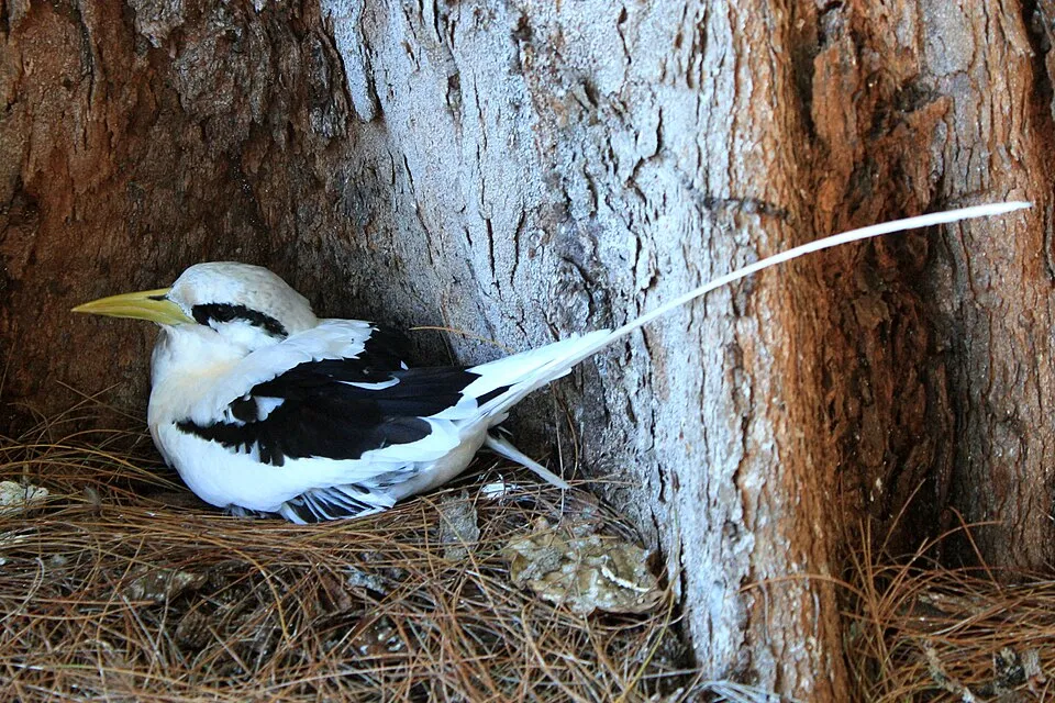
Among the species most often recorded on GBIF are Ducula whartoni (Christmas Imperial Pigeon), Zosterops natalis (Christmas White-eye), Papasula abbotti (Abbott's Booby) and Phaethon lepturus (White-tailed Tropicbird).
Who manages Christmas Island National Park?
Director of National Parks.
What is the official website of Christmas Island National Park?
© OpenStreetMap
Download the boundary: GeoJSON · GPX Boundary © OpenStreetMap contributors (ODbL).
Geography
The representative point of the site lies at around 228 m above sea level.
Area
- Area
- 8,500 ha
- Elevation
- 228 m
- Mean slope
- 8°
- Coordinates
- -10.4915, 105.6232
Terrain: Mapzen Terrain Tiles (SRTM, USGS)
Natural habitats
According to the global MODIS land cover (NASA, 2024), the land area is mainly made up of forests (95%). It is mostly dense evergreen broadleaved forest. The sea covers about 55% of the site. Elevation ranges from sea level to 361 m (highest point: Murray Hill). Reef-building corals are documented in the area: 281 records published on GBIF.
Biodiversity
Based on occurrences aggregated by GBIF, several species are regularly recorded within the site. Among the most frequent are Ducula whartoni (Christmas Imperial Pigeon), Zosterops natalis (Christmas White-eye), Papasula abbotti (Abbott's Booby) and Phaethon lepturus (White-tailed Tropicbird). The full list of documented taxa is shown below.
Species to look out for
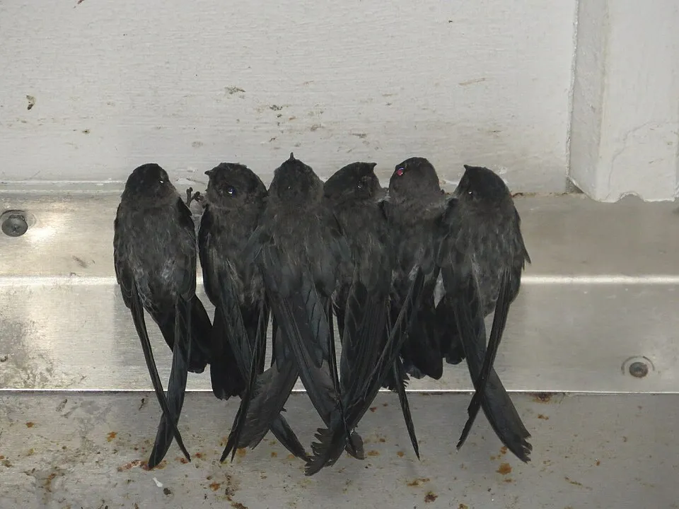
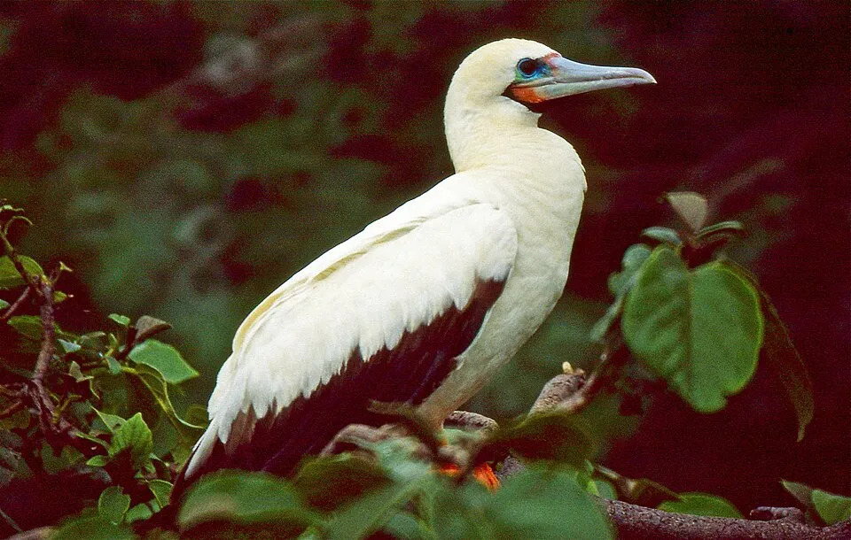
Observed species
Occurrences documented via GBIF; they are neither an exhaustive inventory nor proof of current presence.
- Christmas Imperial Pigeon · Ducula whartoni · 571
- Christmas White-eye · Zosterops natalis · 543
- Paenibacillus spec. · 535
- Abbott's Booby · Papasula abbotti · 444
- White-tailed Tropicbird · Phaethon lepturus · 425
- Christmas Island Swiftlet · Collocalia natalis · 421
- Red-footed Booby · Sula sula · 405
- Common Emerald Dove · Chalcophaps indica · 393
- Great Frigatebird · Fregata minor · 383
- Christmas Island Frigatebrid · Fregata andrewsi · 360
- Brown Booby · Sula leucogaster · 340
- Nankeen Kestrel · Falco cenchroides · 268
+18 more species
- Nitrospira spec. · 262
- Red-tailed Tropicbird · Phaethon rubricauda · 198
- Hyphomicrobium spec. · 175
- Red Junglefowl · Gallus gallus · 170
- Brown Noddy · Anous stolidus · 160
- Blyth's flying fox · Pteropus melanotus · 146
- Eurasian Tree Sparrow · Passer montanus · 143
- Sadleir's Bow-fingered Gecko · Cyrtodactylus sadleiri · 143
- Whale shark · Rhincodon typus · 136
- Pacific Reef Heron · Egretta sacra · 129
- White-breasted Waterhen · Amaurornis phoenicurus · 109
- Christmas Island Whiptail-skink · Emoia nativitatis · 106
- Christmas Boobook · Ninox natalis · 100
- Steroidobacter spec. · 97
- Lesser Frigatebird · Fregata ariel · 92
- Blue-tailed Skink · Cryptoblepharus egeriae · 88
- Pseudomonas spec. · 77
- White-faced Heron · Egretta novaehollandiae · 73
Records: GBIF.org (CC-BY). Names: Wikidata (CC0), GBIF. Photos: Wikimedia Commons.
Conservation challenges
The primary purpose of the site is to preserve its natural habitats and the biodiversity they support. The species recorded (Biodiversity tab) reflect its ecological value. The designations it holds frame its management and the control of land use.
At night, 1% of the area gives off artificial light detectable from space (NASA VIIRS Black Marble composite, 2016). Since 2000, 10 invasive alien species have been recorded within the site (GBIF observations). Among them: Gallus gallus (Red Junglefowl), Hemidactylus frenatus (Common house gecko) and Physalis angulata (Cut-leaved Ground-cherry).
Pressure indicators
Light at night
1%
of the area gives off artificial light visible from space
DarkLit
Invasive alien species
10
recorded since 2000
 Red Junglefowl
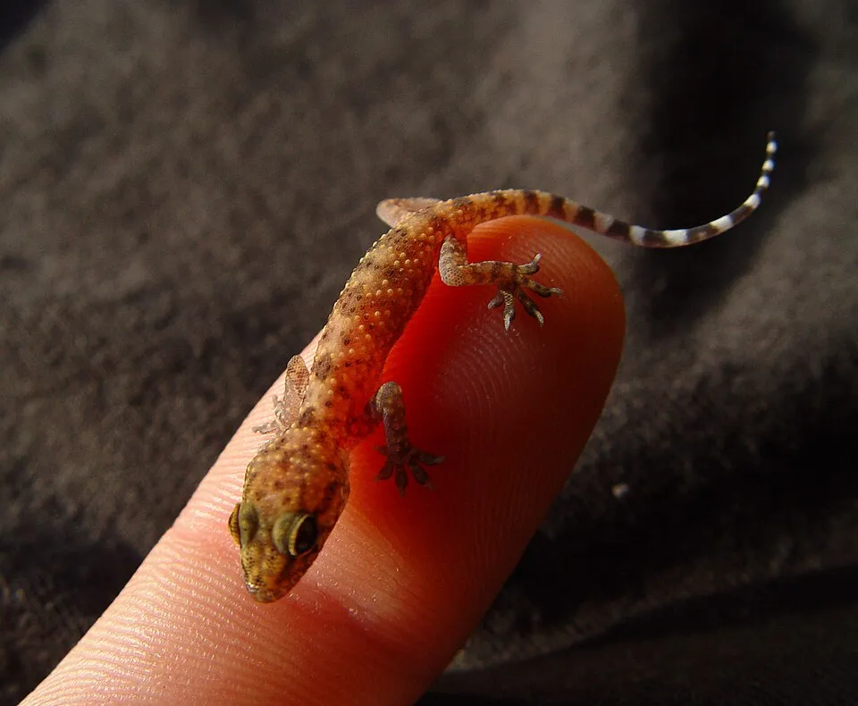 Common house gecko
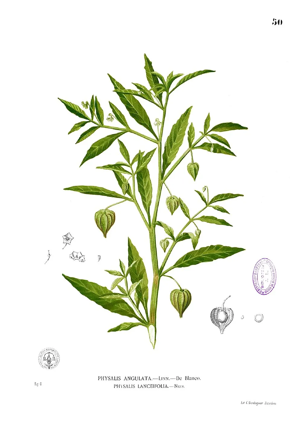 Cut-leaved Ground-cherry
 Rock Dove
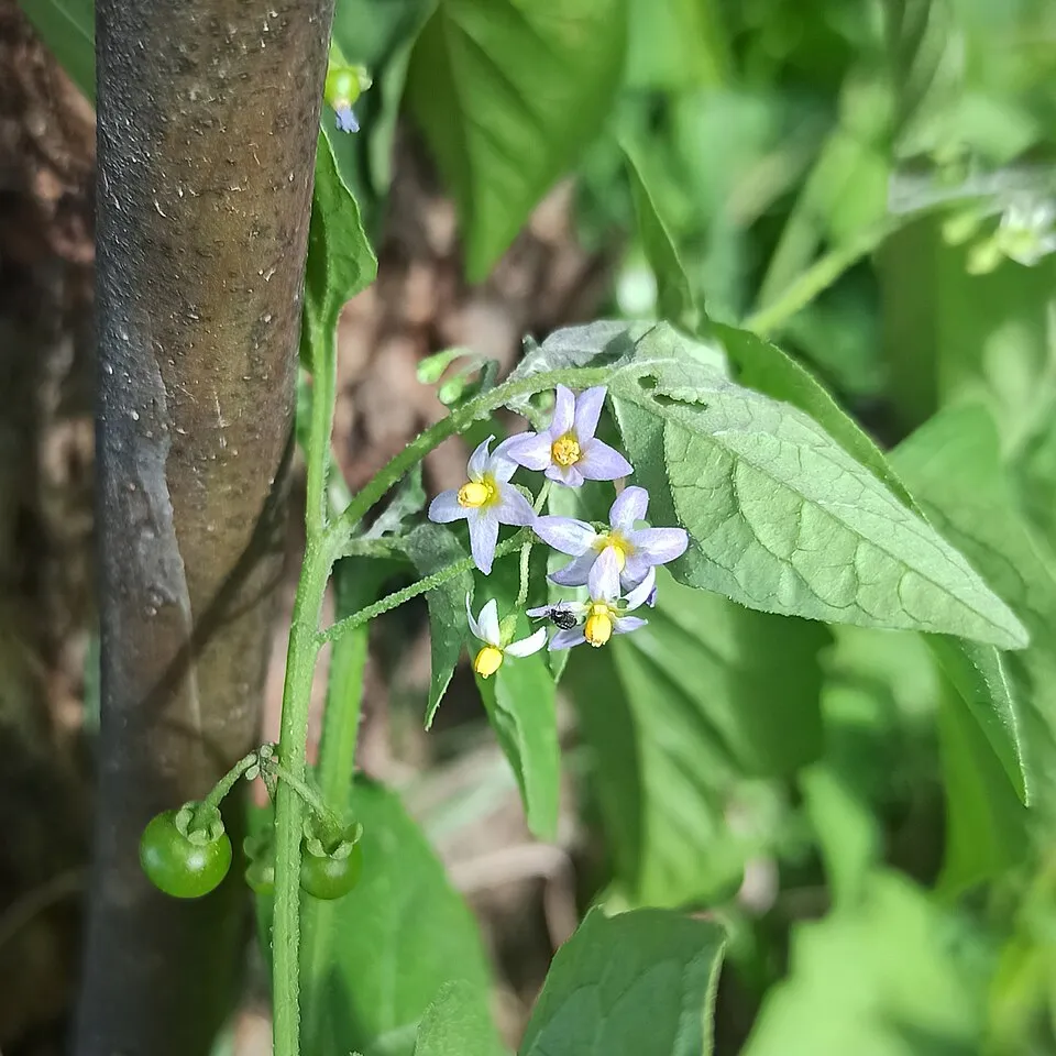 American black nightshade
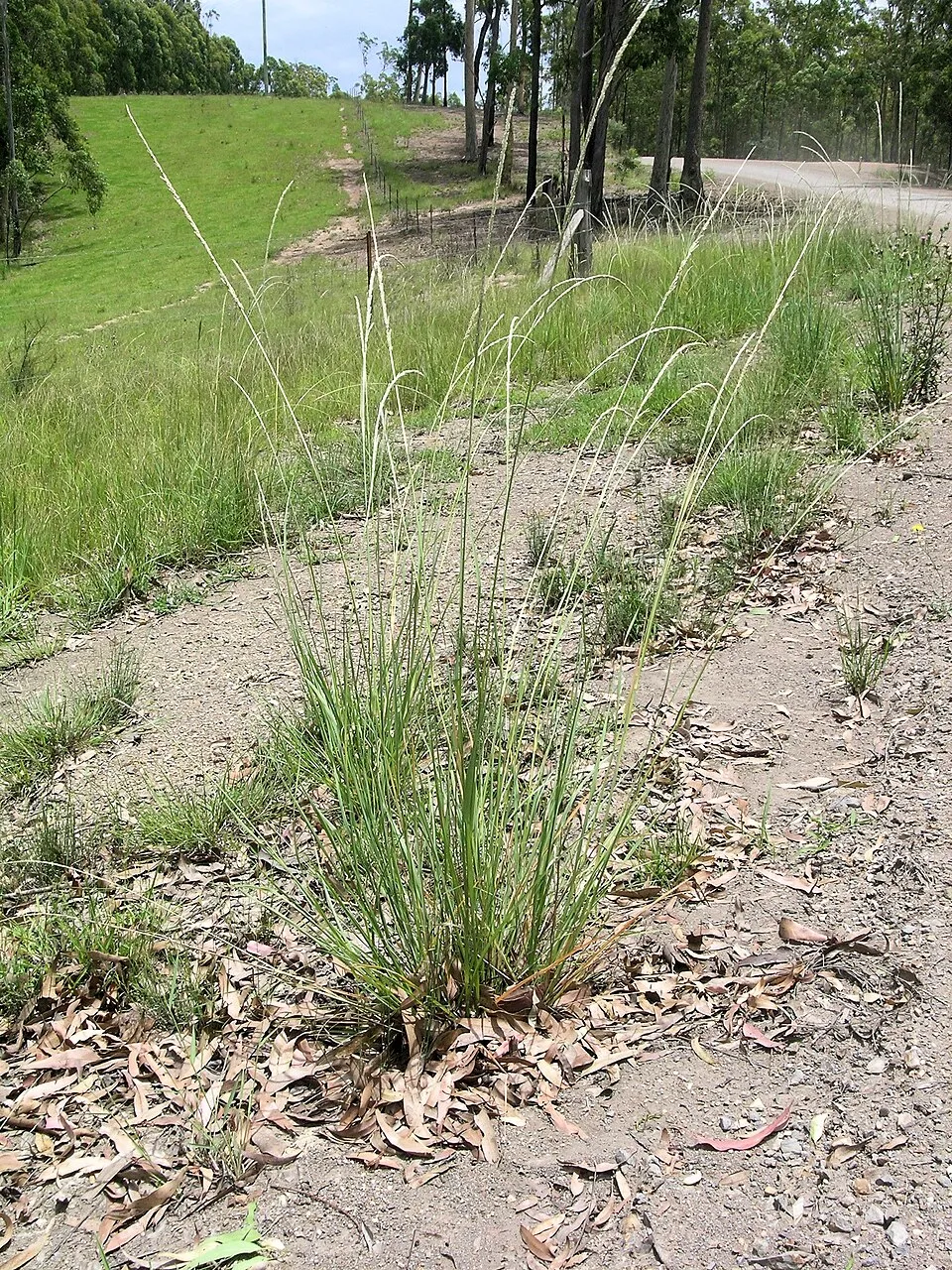 Bloomsbury Grass
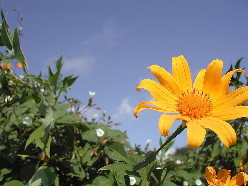 Tree marigold
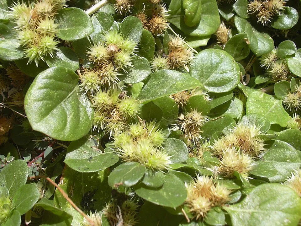 Khakiweed
Photos: Red Junglefowl © Dibyendu Ash · CC BY-SA 3.0; Common house gecko © Hexasoft · CC BY-SA 3.0; Cut-leaved Ground-cherry © Francisco Manuel Blanco (O.S.A.) · Public domain; Rock Dove © william_stephens · CC BY 4.0; American black nightshade © Juan Carlos Fonseca Mata · CC BY-SA 4.0; Bloomsbury Grass © Macleay Grass Man · CC BY 2.0; Tree marigold © Thierry Caro · Public domain; Khakiweed © Forest & Kim Starr · CC BY 3.0
Sources: Global Forest Change (Hansen et al., University of Maryland, via Global Forest Watch, CC-BY 4.0); EFFIS, European Commission / Copernicus; NASA Black Marble 2016 (public domain); CORINE Land Cover 2018 (Copernicus) or MODIS.
Invasive alien species: Global Register of Introduced and Invasive Species (ISSG, CC BY 4.0); Union list, Regulation (EU) 1143/2014 (INBO, CC0); GBIF.org records (CC0 / CC BY 4.0), at least 2 per species.
Practical information
Visitor information
- Christmas Island Visitor Centre
< 1 km from the site boundary - Christmas Island National Park HEADQUARTERS
2 km from the site boundary
Data © OpenStreetMap contributors (ODbL)
Access and visiting
Fewer than 5,000 people live within 20 km of the site boundary, a very sparsely populated area; some 510 people are estimated to live inside (GHSL estimate, 2020). Visitor information on site: Christmas Island Visitor Centre and Christmas Island National Park HEADQUARTERS. To plan a visit (access, opening periods, visitor rules), it is best to consult the official information from the managing body (Director of National Parks) and the official website listed in this page's sources.
Source: OpenStreetMap (ODbL), Wikidata (CC0), November 2026.
Built heritage
According to Wikidata, one monument listed on Australian state heritage registers or the Commonwealth Heritage List stands within the boundary. It is “Christmas Island Natural Areas” in Christmas Island.
-
Christmas Island Natural Areas
Christmas Island
Source: Wikidata (CC0), monuments in each country’s official heritage protection registers, at national or regional level. Each item links to its Wikidata entry.
Wildlife records calendar
JFMAMJJASOND
Birds
Plants
Butterflies & moths
Mammals
Monthly records published on GBIF (CC-BY), relative to the busiest month; also reflects observer activity.
Gallery
© DIAC images · CC BY 2.0
© ChrisBrayPhotography · CC BY-SA 4.0
© David Stanley from Nanaimo, Canada · CC BY 2.0
© PotMart186 · CC BY-SA 4.0
© ChrisBrayPhotography · CC BY-SA 4.0
© David Stanley from Nanaimo, Canada · CC BY 2.0
Sources and licences
- Wikidata: Q1089780
- OpenStreetMap: relation 8325984
- Official website: https://christmasislandnationalpark.gov.au/
- Wikipedia: en.wikipedia.org/wiki/Christmas_Island_National_Park
- WDPA: 62975
References
- registry.opendata.aws: elevation of the reference point, detailed relief · PD
- lpdaac.usgs.gov: land cover · PD
- doi.org: population around the site · CC-BY-4.0
- naturalearthdata.com: sea share · PD
- wikidata.org: official area, highest point, establishment date, protected heritage, managing body, nearby cities and airport, lake depths, official website · CC0-1.0
- gbif.org: coral records, seasonality of sightings, invasive alien species, observed species · CC-BY-4.0
- en.eurovelo.com: EuroVelo cycle routes · ODbL-1.0
- cycling.waymarkedtrails.org: cycle routes · ODbL-1.0
- opentopodata.org: elevations · PD
- globalforestwatch.org: tree cover loss · CC-BY-4.0
- openstreetmap.org: official name, access and peaks · ODbL-1.0
- earthobservatory.nasa.gov: night light · PD
- nsidc.org: snow cover · PD
- wikidata.org: Wikipedia article · CC-BY-SA-4.0
Data © OpenStreetMap contributors (ODbL), Wikidata (CC0) and the sources cited.