Australia · Terrestrial
Culgoa National Park
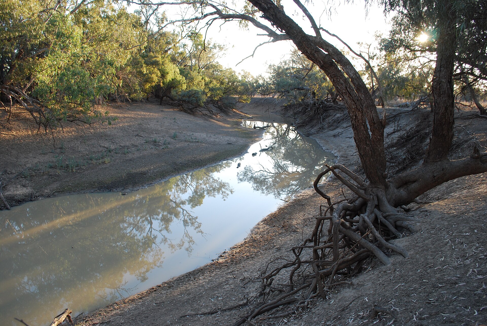
National park of 22,700 hectares in Australia, established in 1996.
Overview
National park of 22,700 hectares in Australia, established in 1996.
Culgoa National Park is located in Australia (Oceania). It is a predominantly terrestrial area. Established in 1996, it covers about 22,700 hectares. The site is managed by NSW National Parks and Wildlife Service.
In our collections
Frequently asked questions
Where is Culgoa National Park?
In Australia (Oceania). Representative point: 29.0817° S, 147.0678° E.
How large is Culgoa National Park?
About 22,700 hectares (227 km²). It is the 189th largest of the 678 national parks in Australia covered by Parkavela.
When was Culgoa National Park established?
In 1996.
What habitats and landscapes does Culgoa National Park include?
A terrestrial area, where land cover is dominated by heath and scrub (72%).
When is the best time to visit Culgoa National Park?
Best time to visit: September and October, with average temperatures of 18 to 23 °C and moderate rainfall.
Which species can be seen in Culgoa National Park?
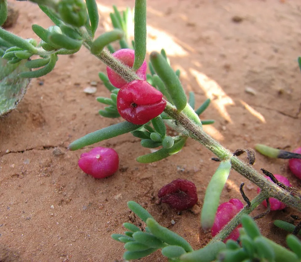
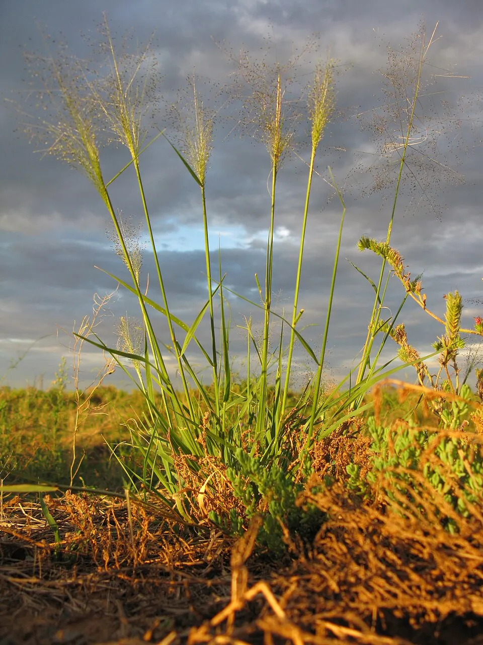
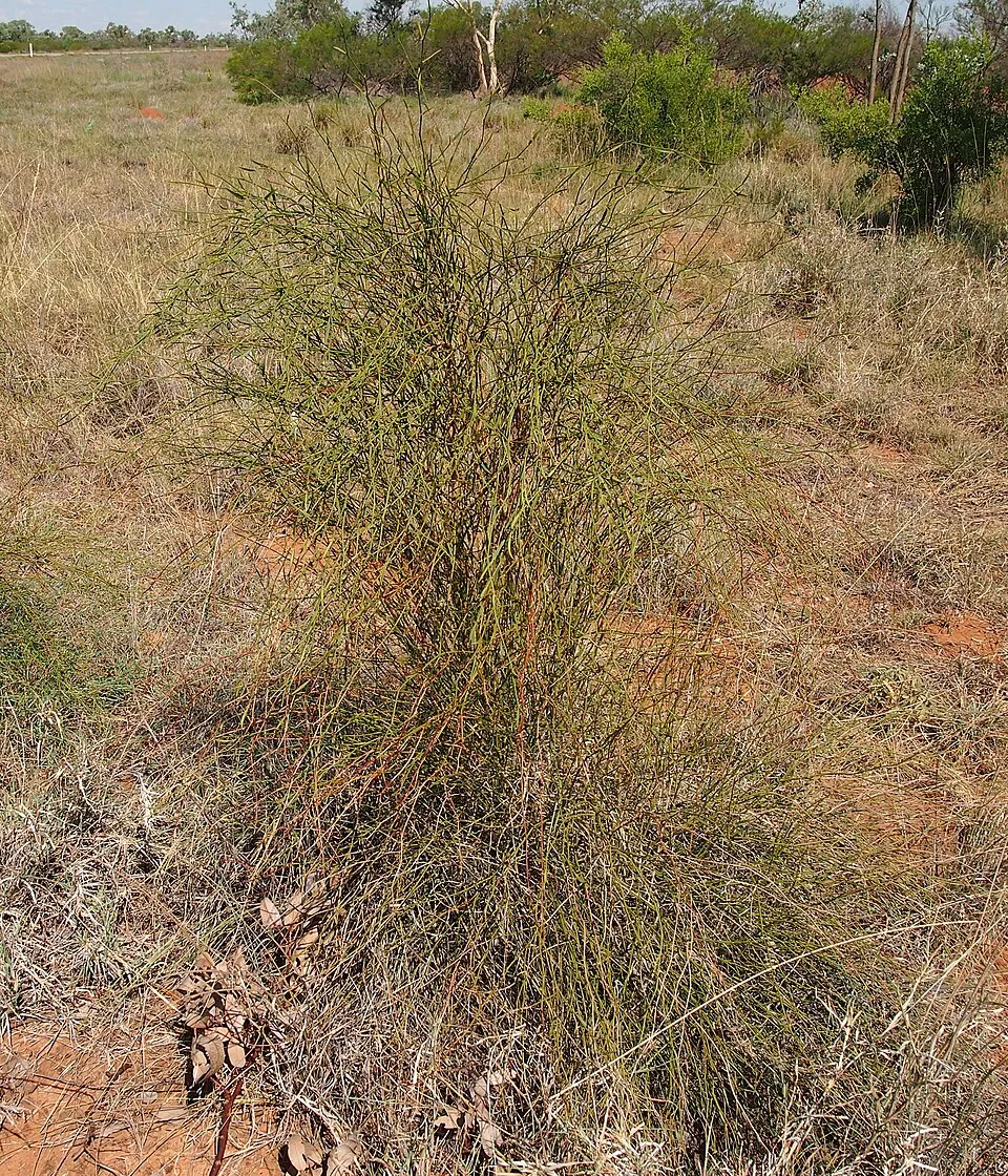
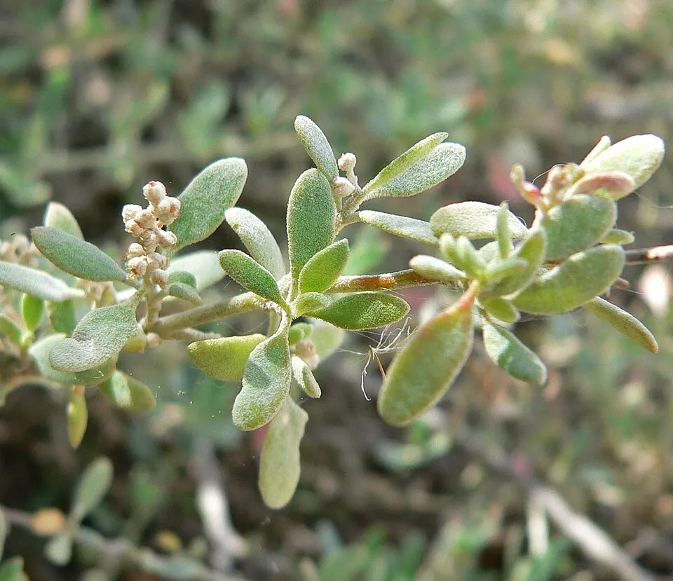
Among the species most often recorded on GBIF are Enchylaena tomentosa (Ruby saltbush), Sclerolaena muricata (Black Rolypoly), Sporobolus caroli (Fairy grass) and Duma florulenta (Tangled lignum).
Who manages Culgoa National Park?
NSW National Parks and Wildlife Service.
© OpenStreetMap
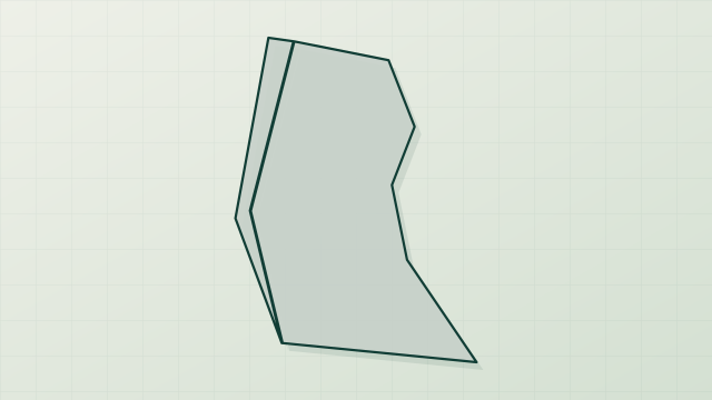
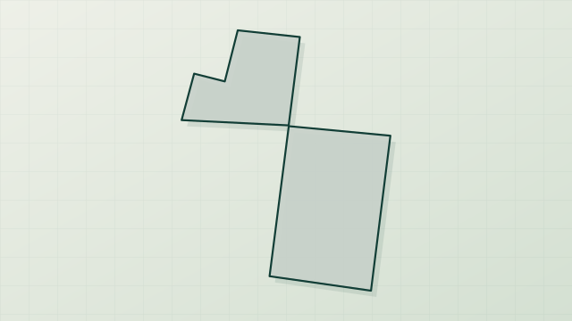
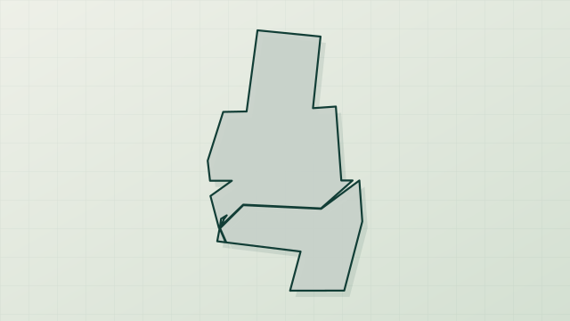
Download the boundary: GeoJSON · GPX Boundary © OpenStreetMap contributors (ODbL).
Geography
The representative point of the site lies at around 136 m above sea level. Over the 1996–2025 period, the mean annual temperature is about 21.2 °C and total precipitation reaches roughly 391 mm per year. The warmest month is usually January, the coolest July, and the wettest January.
Area
- Area
- 22,700 ha
- Elevation
- 136 m
- Coordinates
- -29.0817, 147.0678
Climate
● Mean temperature (°C) · ▮ Precipitation (mm)
Source: Copernicus ERA5-Land (C3S, doi:10.24381/cds.68d2bb30), monthly averages 1996–2025 interpolated to the representative point, temperatures adjusted for elevation.
Contains modified Copernicus Climate Change Service information 2026. Neither the European Commission nor ECMWF is responsible for any use that may be made of the Copernicus information or data it contains.
Natural habitats
According to the global MODIS land cover (NASA, 2024), the site is mainly made up of heath and scrub (72%) and grassland and meadows (28%). The land is almost flat (mean slope under 2°).
Biodiversity
Based on occurrences aggregated by GBIF, several species are regularly recorded within the site. Among the most frequent are Enchylaena tomentosa (Ruby saltbush), Sclerolaena muricata (Black Rolypoly), Sporobolus caroli (Fairy grass) and Duma florulenta (Tangled lignum). The full list of documented taxa is shown below.
Species to look out for
Observed species
Occurrences documented via GBIF; they are neither an exhaustive inventory nor proof of current presence.
- Ruby saltbush · Enchylaena tomentosa · 198
- Black Rolypoly · Sclerolaena muricata · 184
- Fairy grass · Sporobolus caroli · 181
- Tangled lignum · Duma florulenta · 159
- Desert goosefoot · Chenopodium desertorum · 157
- Berry-saltbush · Chenopodium spinescens · 155
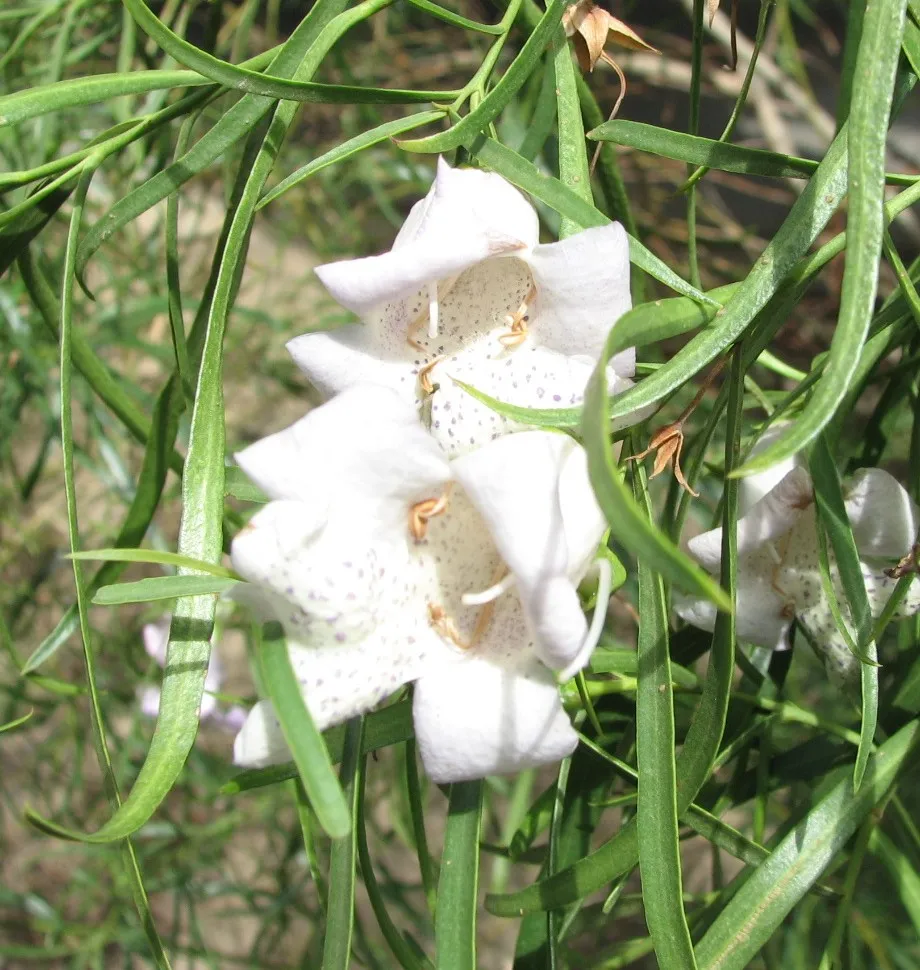
- Bignonia Emu-bush · Eremophila bignoniiflora · 145
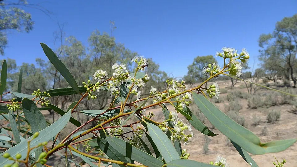
- Black-box · Eucalyptus largiflorens · 144
- Coolabah · Eucalyptus coolabah · 142
- Mulga · Acacia aneura · 136
- Bristly love grass · Eragrostis setifolia · 134
- Giant Redburr · Sclerolaena tricuspis · 130
+18 more species
- Nardoo · Marsilea drummondii · 125
- Mulga fern · Cheilanthes sieberi · 121
- Brigalow · Acacia harpophylla · 117
- Mitchell mulga grass · Thyridolepis mitchelliana · 117
- White-plumed Honeyeater · Ptilotula penicillata · 114
- Purple love grass · Eragrostis lacunaria · 112
- Sida pedunculata · 111
- Climbing-saltbush · Chenopodium nutans · 111
- Vandyke grass · Setaria jubiflora · 107
- Grey Germander · Teucrium racemosum · 103
- Redburr · Sclerolaena calcarata · 101
- Goatheadbur · Sclerolaena bicornis · 100
- Brown Treecreeper · Climacteris picumnus · 86
- Swamp canegrass · Sporobolus ramigerus · 85
- Tropical creeping cudweed · Euchiton sphaericus · 80
- Jacky Winter · Microeca fascinans · 79
- Pin sida · Sida fibulifera · 79
- Grey Copperburr · Sclerolaena diacantha · 79
Records: GBIF.org (CC-BY). Names: Wikidata (CC0), GBIF. Photos: Wikimedia Commons.
Conservation challenges
The primary purpose of the site is to preserve its natural habitats and the biodiversity they support. The species recorded (Biodiversity tab) reflect its ecological value. Its status as a national park sets the regulatory framework for its protection.
At night, the area gives off virtually no artificial light detectable from space (NASA VIIRS Black Marble composite, 2016). Since 2000, 19 invasive alien species have been recorded within the site (GBIF observations). Among them: Chenopodium spinescens (Berry-saltbush), Mus musculus (House mouse) and Chloris truncata (Australian fingergrass).
Pressure indicators
Light at night
0%
of the area gives off artificial light visible from space
DarkLit
Invasive alien species
19
recorded since 2000
Berry-saltbush
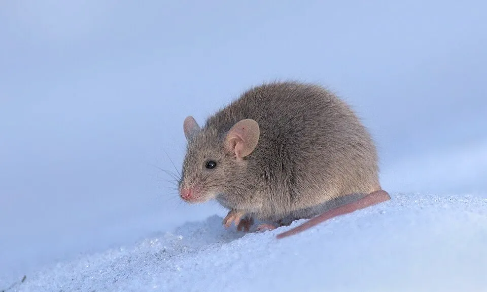 House mouse
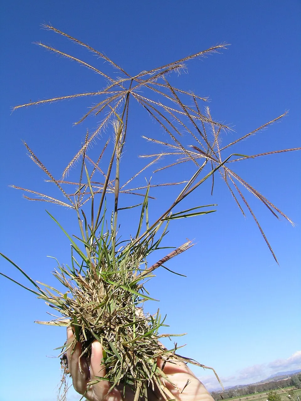 Australian fingergrass
 Brown's love grass
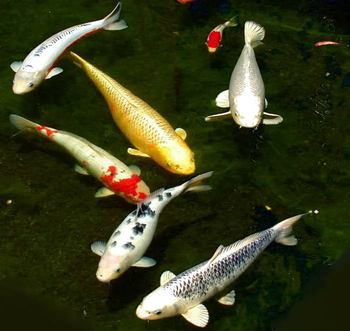 Common carp
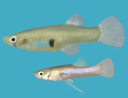 Eastern mosquitofish
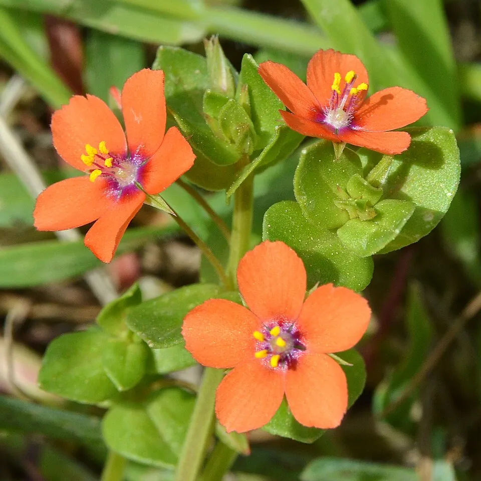 Scarlet pimpernel
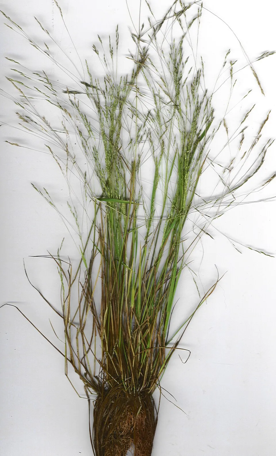 New Zealand wind grass
Photos: Berry-saltbush © Stan Shebs · CC BY-SA 3.0; House mouse © Dion Art · CC BY-SA 4.0; Australian fingergrass © Macleay Grass Man · CC BY 2.0; Brown's love grass © Forest & Kim Starr · CC BY 3.0; Common carp © Stan Shebs · CC BY-SA 3.0; Eastern mosquitofish © Osado · CC BY-SA 3.0; Scarlet pimpernel © Ryan Hodnett · CC BY-SA 4.0; New Zealand wind grass © Forest and Kim Starr · CC BY 3.0
Sources: Global Forest Change (Hansen et al., University of Maryland, via Global Forest Watch, CC-BY 4.0); EFFIS, European Commission / Copernicus; NASA Black Marble 2016 (public domain); CORINE Land Cover 2018 (Copernicus) or MODIS.
Invasive alien species: Global Register of Introduced and Invasive Species (ISSG, CC BY 4.0); Union list, Regulation (EU) 1143/2014 (INBO, CC0); GBIF.org records (CC0 / CC BY 4.0), at least 2 per species.
Access and visiting
To plan a visit (access, opening periods, visitor rules), it is best to consult the official information from the managing body (NSW National Parks and Wildlife Service) and the official website listed in this page's sources.
When to visit
Best time to visit: September and October, with average temperatures of 18 to 23 °C and moderate rainfall. Day length ranges from about 10 h 18 min in June to 14 h 00 min in December. Wildlife records published on GBIF peak for plants (September) and mammals (March and April). These peaks also reflect when observers are most active.
Source: Copernicus ERA5-Land (C3S), monthly averages 1996–2025 at the representative point, temperatures adjusted for elevation.
Contains modified Copernicus Climate Change Service information 2026. Neither the European Commission nor ECMWF is responsible for any use that may be made of the Copernicus information or data it contains.
Wildlife records calendar
JFMAMJJASOND
Birds
Plants
Mammals
Monthly records published on GBIF (CC-BY), relative to the busiest month; also reflects observer activity.
Gallery
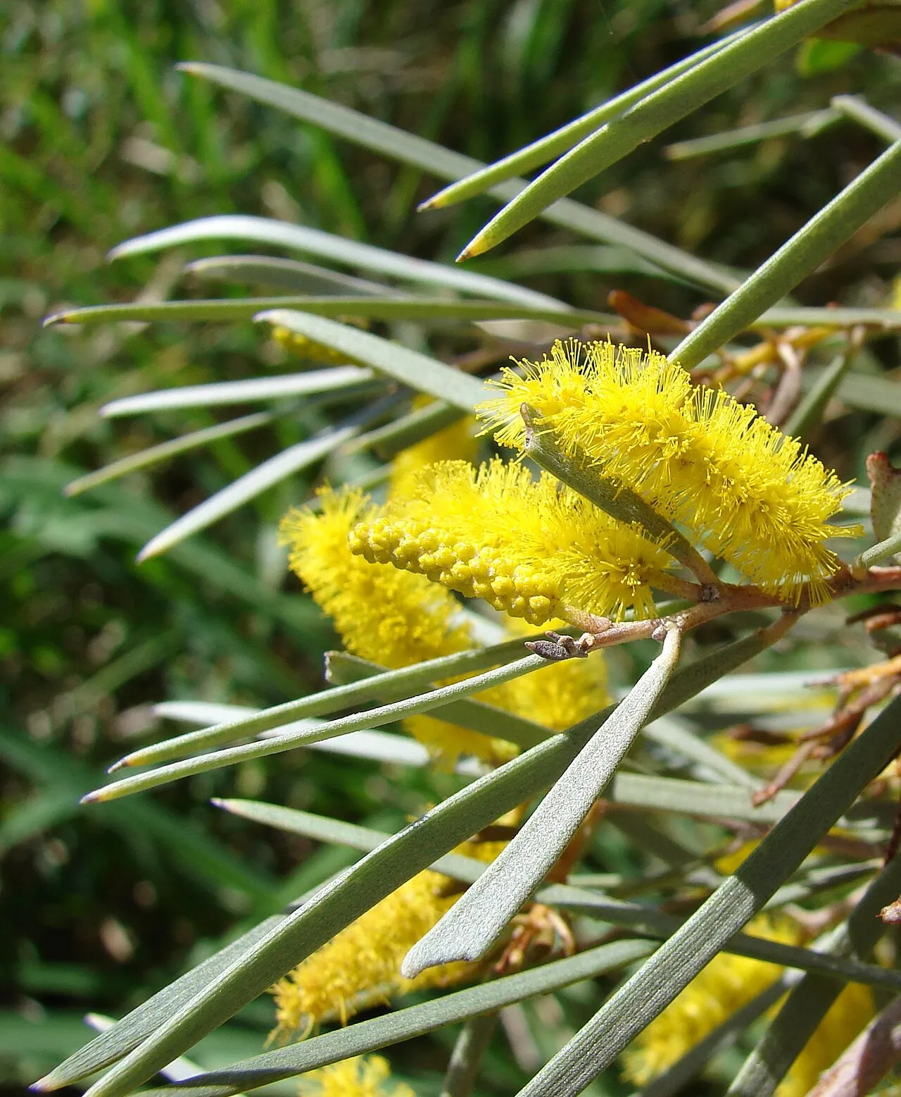
© Dale Smith · CC BY-SA 3.0
Sources and licences
- Wikidata: Q924315
- OpenStreetMap: relation 6012303
- Wikipedia: en.wikipedia.org/wiki/Culgoa_National_Park
- WDPA: 310049
References
- cds.climate.copernicus.eu: climate · CC-BY-4.0
- registry.opendata.aws: elevation of the reference point, detailed relief · PD
- lpdaac.usgs.gov: land cover · PD
- doi.org: population around the site · CC-BY-4.0
- naturalearthdata.com: sea share · PD
- wikidata.org: official area, highest point, establishment date, protected heritage, managing body, nearby cities and airport, access and peaks, lake depths, places to see · CC0-1.0
- en.eurovelo.com: EuroVelo cycle routes · ODbL-1.0
- cycling.waymarkedtrails.org: cycle routes · ODbL-1.0
- opentopodata.org: elevations · PD
- globalforestwatch.org: tree cover loss · CC-BY-4.0
- gbif.org: seasonality of sightings, invasive alien species, observed species · CC-BY-4.0
- openstreetmap.org: official name, access and peaks, trail difficulty, wheelchair access · ODbL-1.0
- earthobservatory.nasa.gov: night light · PD
- nsidc.org: snow cover · PD
- wikidata.org: Wikipedia article · CC-BY-SA-4.0
Data © OpenStreetMap contributors (ODbL), Wikidata (CC0) and the sources cited.