
Australia · Marine
Garig Gunak Barlu National Park
National park of 226,004 hectares in Australia, established in 2000.
Overview
National park of 226,004 hectares in Australia, established in 2000.
Garig Gunak Barlu National Park is located in Australia (Oceania). It is a predominantly marine area. Established in 2000, it covers about 226,004 hectares.
Frequently asked questions
Where is Garig Gunak Barlu National Park?
In Australia (Oceania). Representative point: 11.3656° S, 132.2397° E.
How large is Garig Gunak Barlu National Park?
About 226,004 hectares (2,260 km²). It is the 38th largest of the 678 national parks in Australia covered by Parkavela.
When was Garig Gunak Barlu National Park established?
In 2000.
What habitats and landscapes does Garig Gunak Barlu National Park include?
A marine area, with coral reefs.
When is the best time to visit Garig Gunak Barlu National Park?
Best time to visit: the dry season, from May to October, with less than 30 mm of rain per month.
What is the nearest airport to Garig Gunak Barlu National Park?
Nearest airport: Darwin (DRW), about 153 km away.
Where can I get visitor information on site?
Black Point Ranger Station.
Which species can be seen in Garig Gunak Barlu National Park?
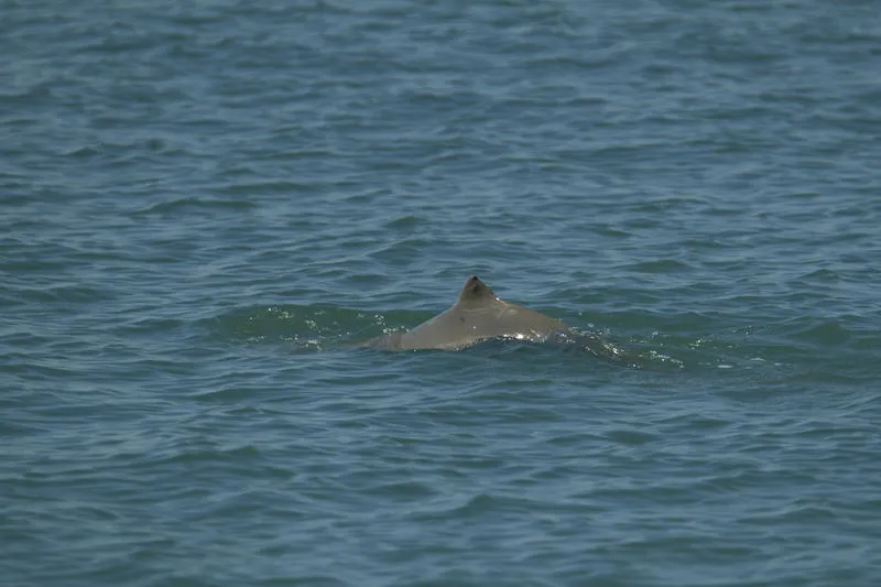
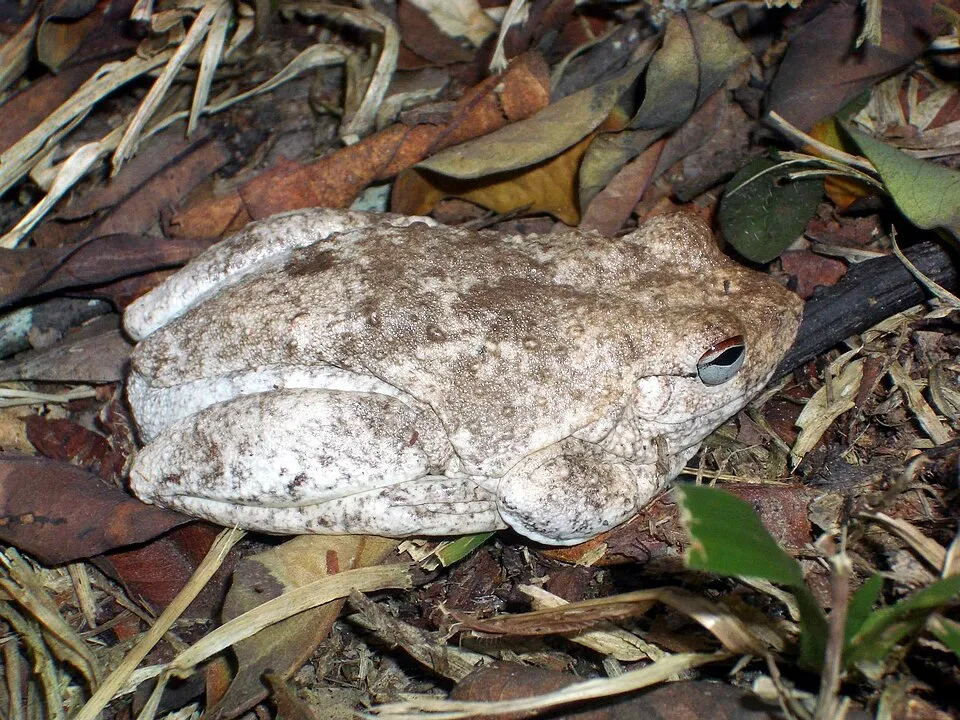
Among the species most often recorded on GBIF are Sousa sahulensis (Australian humpback dolphin), Orcaella heinsohni (Australian snubfin dolphin), Natator depressus (Flatback) and Litoria rothii (Roth's tree frog).
What is the official website of Garig Gunak Barlu National Park?
© OpenStreetMap
Download the boundary: GeoJSON · GPX Boundary © OpenStreetMap contributors (ODbL).
Geography
The representative point of the site lies at around 13 m above sea level. Over the 1996–2025 period, the mean annual temperature is about 27.1 °C and total precipitation reaches roughly 1,565 mm per year. The warmest month is usually November, the coolest July, and the wettest January.
Area
- Area
- 226,004 ha
- Elevation
- 13 m
- Coordinates
- -11.3656, 132.2397
Climate
● Mean temperature (°C) · ▮ Precipitation (mm)
Source: Copernicus ERA5-Land (C3S, doi:10.24381/cds.68d2bb30), monthly averages 1996–2025 interpolated to the representative point, temperatures adjusted for elevation.
Contains modified Copernicus Climate Change Service information 2026. Neither the European Commission nor ECMWF is responsible for any use that may be made of the Copernicus information or data it contains.
Natural habitats
The site is almost entirely marine. The seabed reaches about 35 m deep (median depth 9 m; GEBCO bathymetry). Reef-building corals are documented in the area: 233 records published on GBIF.
Biodiversity
Based on occurrences aggregated by GBIF, several species are regularly recorded within the site. Among the most frequent are Sousa sahulensis (Australian humpback dolphin), Orcaella heinsohni (Australian snubfin dolphin), Natator depressus (Flatback) and Litoria rothii (Roth's tree frog). The full list of documented taxa is shown below.
Species to look out for

Amphibian
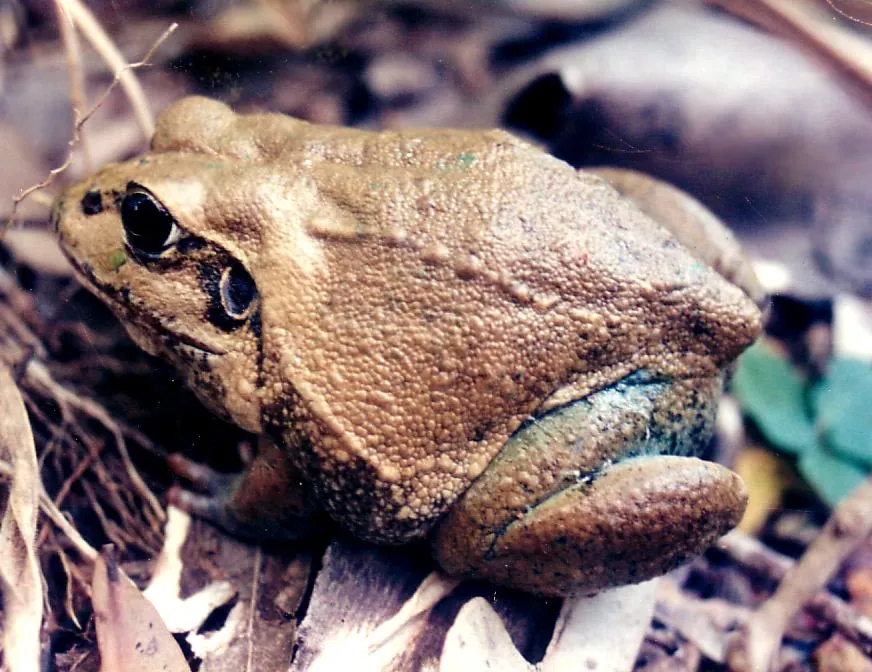
Giant frog
Ranoidea australis88 records © Damon Ramsey of www.educational-tours.com.au. Colors tweaked by Mats Halldin · CC BY-SA 2.5
Observed species
Occurrences documented via GBIF; they are neither an exhaustive inventory nor proof of current presence.
- Australian humpback dolphin · Sousa sahulensis · 161
- Australian snubfin dolphin · Orcaella heinsohni · 111
- Flatback · Natator depressus · 103
- Roth's tree frog · Litoria rothii · 90
- Giant frog · Ranoidea australis · 88
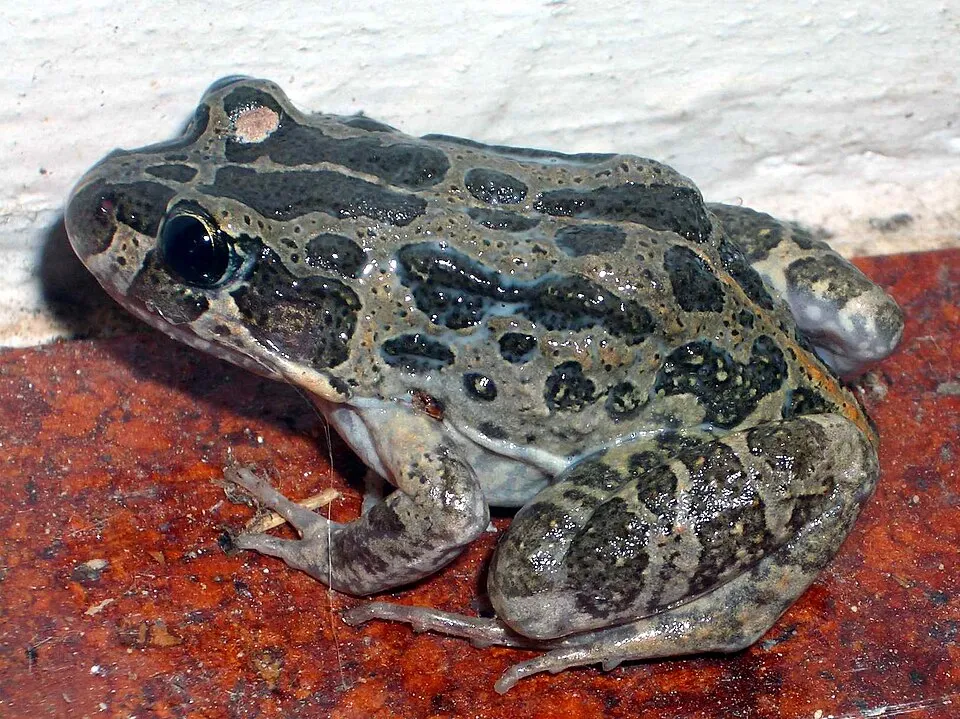
- Marbled frog · Limnodynastes convexiusculus · 60
- Striped Rocket Frog · Litoria nasuta · 58
- False killer whale · Pseudorca crassidens · 58
- Indo-Pacific bottlenose dolphin · Tursiops aduncus · 57
- Bynoe's gecko · Heteronotia binoei · 57
- Pale Field Rat · Rattus tunneyi · 52
- Rufous Whistler · Pachycephala rufiventris · 51
+18 more species
- Green Turtle · Chelonia mydas · 50
- Dugong · Dugong dugon · 49
- Greater Crested Tern · Thalasseus bergii · 47
- Orange-sided Bar-lipped Skink · Eremiascincus douglasi · 45
- Lissoporcellana spinuligera · 42
- Saltwater crocodile · Crocodylus porosus · 37
- Clathria abietina · 36
- Beach Stone-curlew · Esacus magnirostris · 36
- Brown Honeyeater · Lichmera indistincta · 36
- Grassland mosaic-tailed rat · Melomys burtoni · 35
- Lowlands Plain-backed Ctenotus · Ctenotus essingtonii · 35
- Cuapetes amymone · 35
- Desert tree frog · Litoria rubella · 34
- Black-naped Tern · Sterna sumatrana · 33
- Lemon-bellied Flyrobin · Microeca flavigaster · 32
- Northern Dwarf Tree Frog · Litoria bicolor · 31
- Northern brown bandicoot · Isoodon macrourus · 31
- Shaded-litter Rainbow-skink · Carlia munda · 31
Records: GBIF.org (CC-BY). Names: Wikidata (CC0), GBIF. Photos: Wikimedia Commons.
Conservation challenges
The primary purpose of the site is to preserve its natural habitats and the biodiversity they support. The species recorded (Biodiversity tab) reflect its ecological value. Its status as a national park sets the regulatory framework for its protection.
Pressure indicators
Invasive alien species
1
recorded since 2000
Sources: Global Forest Change (Hansen et al., University of Maryland, via Global Forest Watch, CC-BY 4.0); EFFIS, European Commission / Copernicus; NASA Black Marble 2016 (public domain); CORINE Land Cover 2018 (Copernicus) or MODIS.
Invasive alien species: Global Register of Introduced and Invasive Species (ISSG, CC BY 4.0); Union list, Regulation (EU) 1143/2014 (INBO, CC0); GBIF.org records (CC0 / CC BY 4.0), at least 2 per species.
Practical information
Cities and airport
- Airport: Darwin (DRW)
153 km as the crow flies
Visitor information
- Black Point Ranger Station
within the site
Data © OpenStreetMap contributors (ODbL) · Wikidata (CC0)
Access and visiting
Nearest airport: Darwin (DRW), about 153 km away. Fewer than 5,000 people live within 20 km of the site boundary, a very sparsely populated area (GHSL estimate, 2020). Visitor information on site: Black Point Ranger Station. To plan a visit (access, opening periods, visitor rules), it is best to consult the official information from the managing body and the official website listed in this page's sources.
Source: OpenStreetMap (ODbL), Wikidata (CC0), November 2026.
When to visit
Best time to visit: the dry season, from May to October, with less than 30 mm of rain per month. Precipitation peaks from December to April (up to 360 mm per month). Day length ranges from about 11 h 28 min in June to 12 h 47 min in December. Wildlife records published on GBIF peak for birds (October), plants (October), butterflies and moths (January) and mammals (November). These peaks also reflect when observers are most active.
Source: Copernicus ERA5-Land (C3S), monthly averages 1996–2025 at the representative point, temperatures adjusted for elevation.
Contains modified Copernicus Climate Change Service information 2026. Neither the European Commission nor ECMWF is responsible for any use that may be made of the Copernicus information or data it contains.
Wildlife records calendar
JFMAMJJASOND
Birds
Plants
Butterflies & moths
Mammals
Monthly records published on GBIF (CC-BY), relative to the busiest month; also reflects observer activity.
Gallery
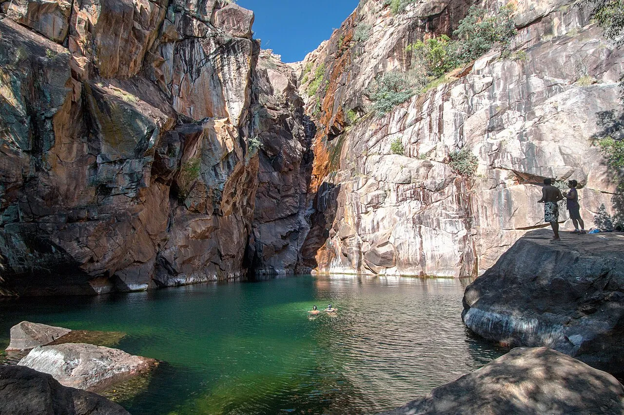
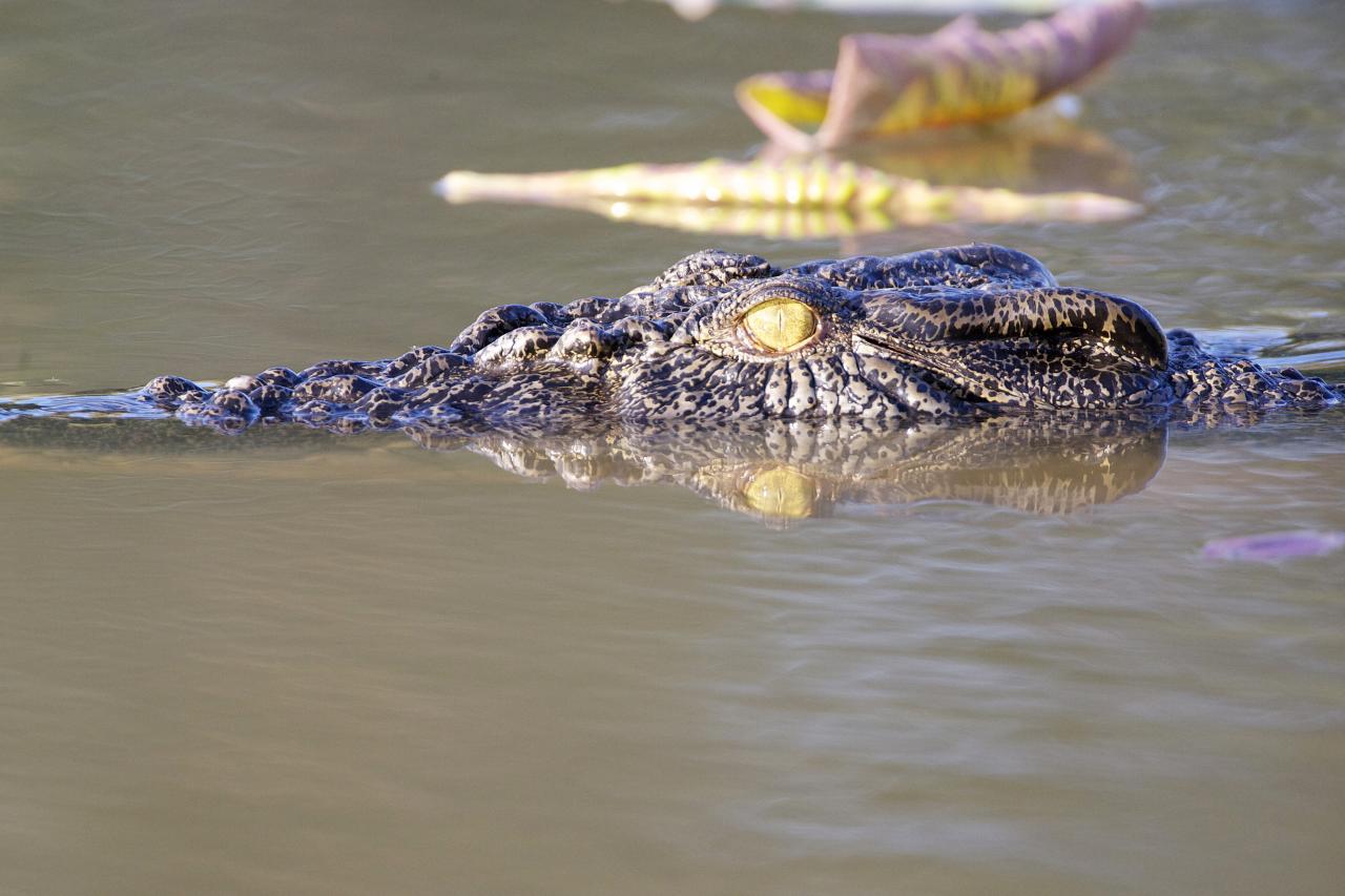
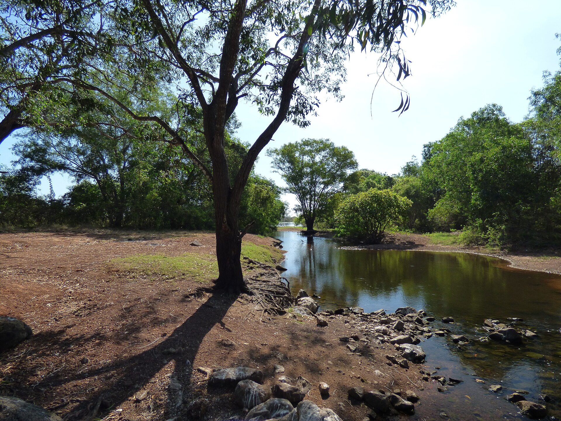
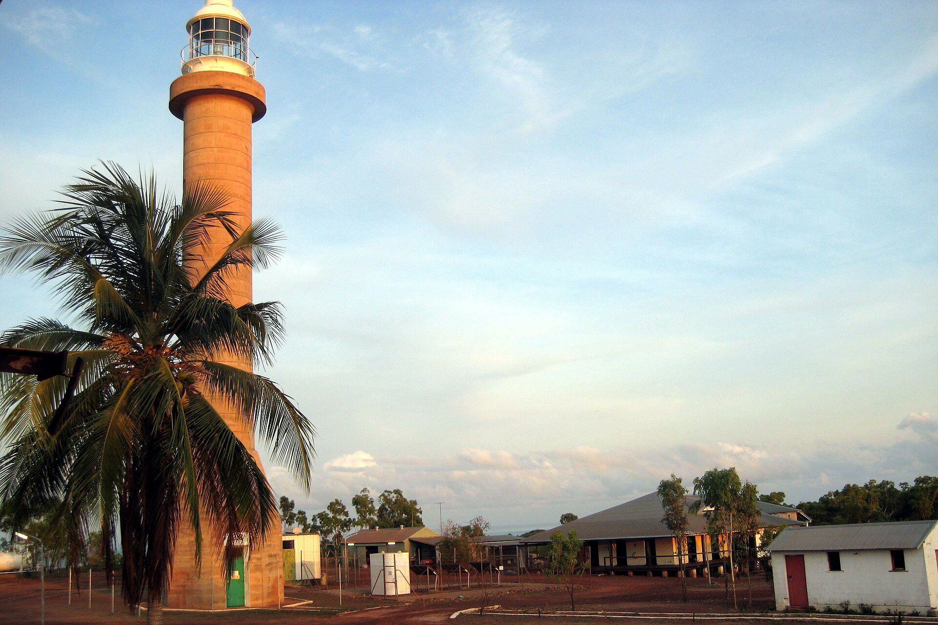
© Andy - La Paloma · CC BY-SA 3.0
© NASA · Public domain
© PeterMarquisKyle · CC BY-SA 3.0
Sources and licences
- Wikidata: Q600250
- OpenStreetMap: relation 16272756
- Official website: https://nt.gov.au/parks/find-a-park/garig-gunak-barlu-national-park
- Wikipedia: en.wikipedia.org/wiki/Garig_Gunak_Barlu_National_Park
- WDPA: 315029
References
- cds.climate.copernicus.eu: climate · CC-BY-4.0
- registry.opendata.aws: elevation of the reference point · PD
- lpdaac.usgs.gov: land cover · PD
- doi.org: population around the site · CC-BY-4.0
- naturalearthdata.com: sea share · PD
- wikidata.org: official area, highest point, establishment date, protected heritage, official name, nearby cities and airport, access and peaks, places to see, official website · CC0-1.0
- gbif.org: coral records, seasonality of sightings, invasive alien species, observed species · CC-BY-4.0
- gebco.net: depths · PD
- opentopodata.org: elevations · PD
- openstreetmap.org: access and peaks · ODbL-1.0
- wikidata.org: Wikipedia article · CC-BY-SA-4.0
Data © OpenStreetMap contributors (ODbL), Wikidata (CC0) and the sources cited.