Australia · Terrestrial
Kakadu National Park
National park of 1,980,400 hectares in Australia, established in 1979.
Overview
National park of 1,980,400 hectares in Australia, established in 1979.
Kakadu National Park is located in Australia (Oceania). It is a predominantly terrestrial area. Established on 5 April 1979, it covers about 1,980,400 hectares. The site is managed by Director of National Parks.
Protections and designations
UNESCO World Heritage
Ramsar site
Other designations
Protected as a national park. International labels and designations: UNESCO World Heritage (“Kakadu National Park”) and Ramsar site. Key dates: established in 1979, Ramsar Site in 1980 and World Heritage listing in 1981.
In our collections
Timeline
-
1979
Established
-
1980
Ramsar Site (wetland of international importance) Kakadu National Park
-
1981
Inscribed as a UNESCO World Heritage Site Kakadu National Park
Sources: Wikidata (CC0) for establishment and international labels; EEA Natura 2000 database (CC-BY 4.0) for site designation dates.
Frequently asked questions
Where is Kakadu National Park?
In Australia (Oceania). Representative point: 13.0055° S, 132.5195° E.
How large is Kakadu National Park?
About 1,980,400 hectares (19,804 km²). It is the 2nd largest of the 678 national parks in Australia covered by Parkavela.
When was Kakadu National Park established?
On 5 April 1979.
What habitats and landscapes does Kakadu National Park include?
A terrestrial area, where land cover is dominated by grassland and meadows (99%).
What is the highest point of Kakadu National Park?
Table Top, at 465 m (OpenStreetMap).
What are the main summits of Kakadu National Park?
Table Top (465 m), Mount Evelyn (365 m), Ngartluk (364 m), Big Sunday (338 m) and Mount Callanan (318 m) (OpenStreetMap).
Which international labels apply to Kakadu National Park?
UNESCO World Heritage (“Kakadu National Park”) and Ramsar site.
When is the best time to visit Kakadu National Park?
Best time to visit: the dry season, from May to September, with less than 10 mm of rain per month.
What is there to see in Kakadu National Park?
4 waterfalls, 3 lakes and ponds and 2 caves, including Jim Jim Falls, Anbangbang Billabong, Anbangbang Shelter and Gunlom Falls (Wikidata).
Are there historic monuments in Kakadu National Park?
Yes. According to Wikidata, one monument listed on Australian state heritage registers or the Commonwealth Heritage List stands within the boundary. For example: “Kakadu National Park” in Northern Territory (UNESCO World Heritage).
What is the nearest airport to Kakadu National Park?
Nearest airport: Darwin (DRW), about 111 km away.
Where can I get visitor information on site?
Bowali Visitor's Centre.
Which species can be seen in Kakadu National Park?
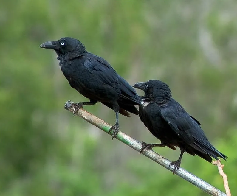
Among the species most often recorded on GBIF are Anseranas semipalmata (Magpie goose), Geopelia humeralis (Bar-shouldered Dove), Corvus orru (Torresian Crow) and Haliastur sphenurus (Whistling Kite).
Who manages Kakadu National Park?
Director of National Parks.
What is the official website of Kakadu National Park?
environment.gov.au/topics/national-parks/kakadu-national-park
© OpenStreetMap
Download the boundary: GeoJSON · GPX Boundary © OpenStreetMap contributors (ODbL).
Geography
The representative point of the site lies at around 31 m above sea level. Over the 1996–2025 period, the mean annual temperature is about 28.0 °C and total precipitation reaches roughly 1,254 mm per year. The warmest month is usually October, the coolest July, and the wettest January.
Area
- Area
- 1,980,400 ha
- Elevation
- 31 m
- Coordinates
- -13.0055, 132.5195
Main summits
- Table Top465 m
- Mount Evelyn365 m
- Ngartluk364 m
- Big Sunday338 m
- Mount Callanan318 m
- Magela301 m
- Coronation Hill291 m
- Mount Ebsworth267 m
- Dird Djahdjam247 m
- Mount Brockman244 m
Data © OpenStreetMap contributors (ODbL)
Climate
● Mean temperature (°C) · ▮ Precipitation (mm)
Source: Copernicus ERA5-Land (C3S, doi:10.24381/cds.68d2bb30), monthly averages 1996–2025 interpolated to the representative point, temperatures adjusted for elevation.
Contains modified Copernicus Climate Change Service information 2026. Neither the European Commission nor ECMWF is responsible for any use that may be made of the Copernicus information or data it contains.
Natural habitats
According to the global MODIS land cover (NASA, 2024), the site is mainly made up of grassland and meadows (99%). Elevation ranges from sea level to 465 m (highest point: Table Top).
Biodiversity
Based on occurrences aggregated by GBIF, several species are regularly recorded within the site. Among the most frequent are Anseranas semipalmata (Magpie goose), Geopelia humeralis (Bar-shouldered Dove), Corvus orru (Torresian Crow) and Haliastur sphenurus (Whistling Kite). The full list of documented taxa is shown below.
Species to look out for


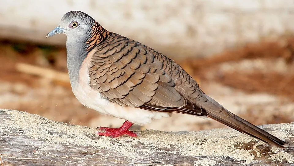
Bird
Peaceful Dove
Geopelia placida7,367 records © JJ Harrison (https://www.jjharrison.com.au/) · CC BY-SA 4.0

Observed species
Occurrences documented via GBIF; they are neither an exhaustive inventory nor proof of current presence.
- Magpie goose · Anseranas semipalmata · 25139
- Bar-shouldered Dove · Geopelia humeralis · 7984
- Torresian Crow · Corvus orru · 7760
- Whistling Kite · Haliastur sphenurus · 7526
- Peaceful Dove · Geopelia placida · 7367
- Rainbow Bee-eater · Merops ornatus · 6123
- Hibiscus brennanii · 6021
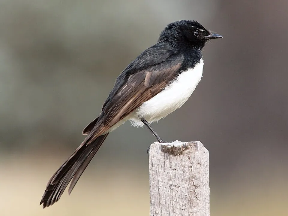
- Willie Wagtail · Rhipidura leucophrys · 5844
- Sulphur-crested Cockatoo · Cacatua galerita · 5842
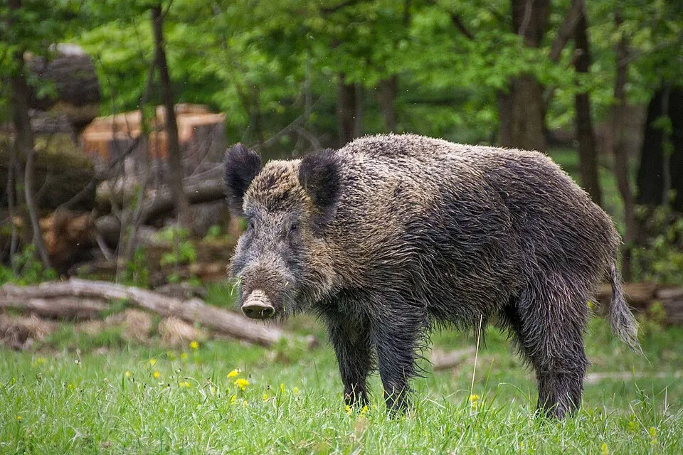
- Wild boar · Sus scrofa · 5794
- White-bellied Cuckooshrike · Coracina papuensis · 5544
- Agile Wallaby · Macropus agilis · 5336
+18 more species
- Blue-winged Kookaburra · Dacelo leachii · 5251
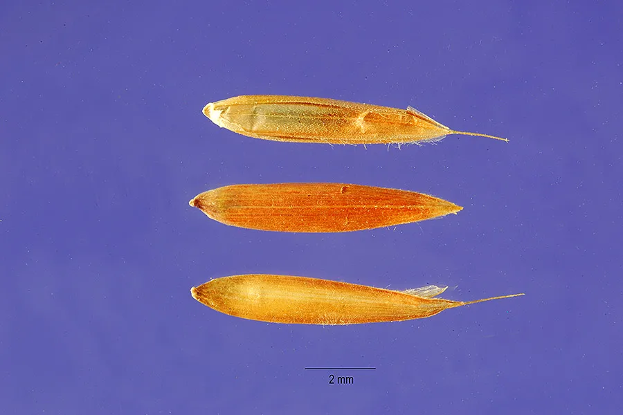
- Bluestem · Andropogon gayanus · 5144
- White-throated Honeyeater · Melithreptus albogularis · 4838
- Little Corella · Cacatua sanguinea · 4799
- Red-tailed Black Cockatoo · Calyptorhynchus banksii · 4235
- Forest Kingfisher · Todiramphus macleayii · 4223
- White-gaped Honeyeater · Stomiopera unicolor · 4115
- Rufous Whistler · Pachycephala rufiventris · 3965
- Green Oriole · Oriolus flavocinctus · 3921
- Intermediate egret · Egretta intermedia · 3831
- Mistletoebird · Dicaeum hirundinaceum · 3806
- Great Egret · Ardea alba · 3704
- Magpie-lark · Grallina cyanoleuca · 3691
- Brown Honeyeater · Lichmera indistincta · 3579
- Black-necked Stork · Ephippiorhynchus asiaticus · 3540
- Lemon-bellied Flyrobin · Microeca flavigaster · 3533
- Raja Shelduck · Radjah radjah · 3515
- Australian White Ibis · Threskiornis molucca · 3454
Records: GBIF.org (CC-BY). Names: Wikidata (CC0), GBIF. Photos: Wikimedia Commons.
Conservation challenges
The primary purpose of the site is to preserve its natural habitats and the biodiversity they support. The species recorded (Biodiversity tab) reflect its ecological value. The designations it holds frame its management and the control of land use.
According to Global Forest Change data (University of Maryland, Global Forest Watch), about 328 ha of tree cover were lost within the boundary between 2001 and 2023, peaking in 2013 and 2014. These losses include logging, storms and fires, and do not account for regrowth. At night, the area gives off virtually no artificial light detectable from space (NASA VIIRS Black Marble composite, 2016). Since 2000, 30 invasive alien species have been recorded within the site (GBIF observations). Among them: Sus scrofa (Wild boar), Andropogon gayanus (Bluestem) and Mimosa pigra (Giant sensitive-plant).
Pressure indicators
Tree cover lost
328 ha
2001–2023 · < 1% of the area
20012023
Light at night
0%
of the area gives off artificial light visible from space
DarkLit
Invasive alien species
30
recorded since 2000
 Wild boar
 Bluestem
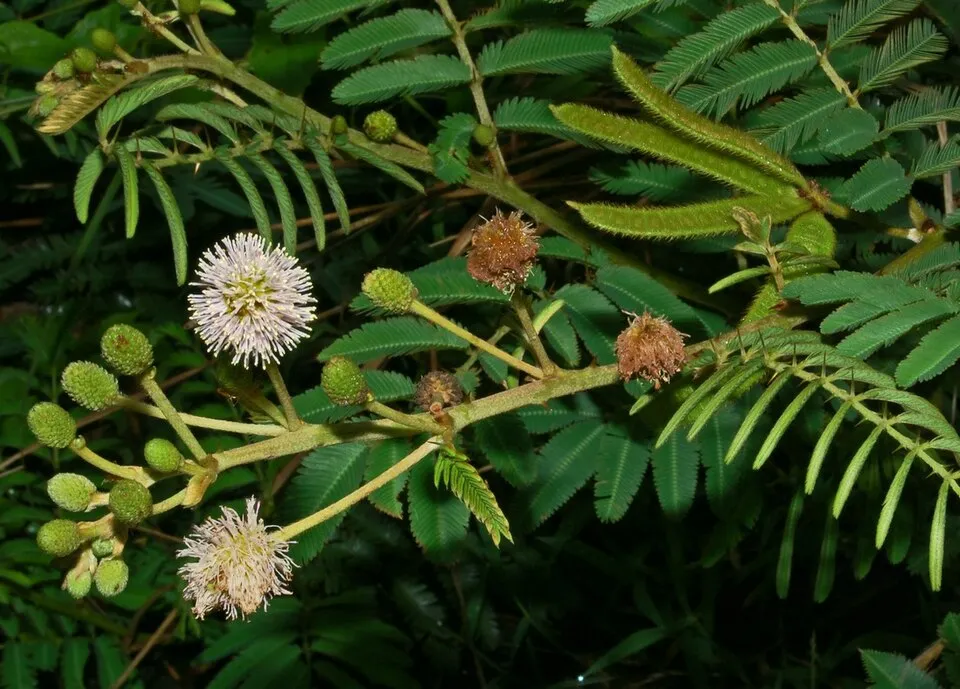 Giant sensitive-plant
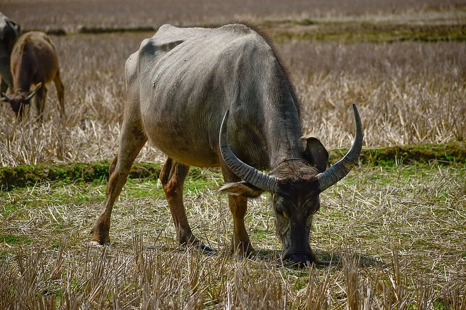 Water buffalo
 Black Rat
 Para grass
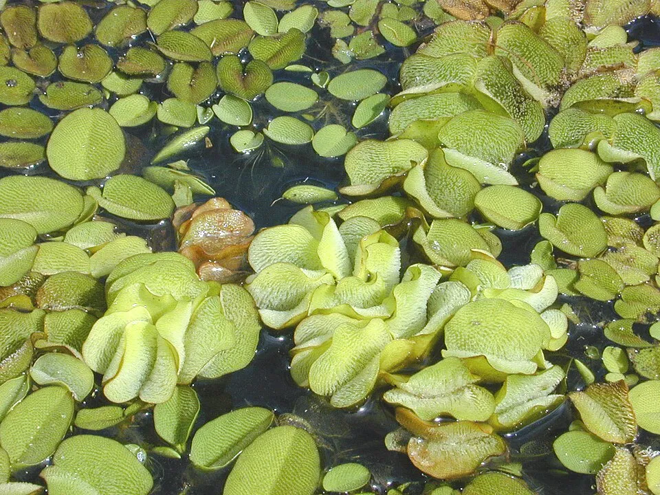 Kariba-weed
Photos: Wild boar © Valentin Panzirsch · CC BY-SA 3.0; Bluestem © Jose Hernandez @ USDA-NRCS PLANTS Database · Public domain; Giant sensitive-plant © Wibowo Djatmiko (Wie146) · CC BY-SA 3.0; Water buffalo © Fabian Roudra Baroi · CC BY-SA 4.0; Black Rat © Jakub Hałun · CC BY-SA 4.0; Para grass © Forest & Kim Starr · CC BY 3.0; Kariba-weed © Marshman · CC BY 2.5
Sources: Global Forest Change (Hansen et al., University of Maryland, via Global Forest Watch, CC-BY 4.0); EFFIS, European Commission / Copernicus; NASA Black Marble 2016 (public domain); CORINE Land Cover 2018 (Copernicus) or MODIS.
Invasive alien species: Global Register of Introduced and Invasive Species (ISSG, CC BY 4.0); Union list, Regulation (EU) 1143/2014 (INBO, CC0); GBIF.org records (CC0 / CC BY 4.0), at least 2 per species.
Practical information
Cities and airport
- Airport: Darwin (DRW)
111 km as the crow flies
Visitor information
- Bowali Visitor's Centre
within the site
Parking
43 public car parks listed within the site
Yurmikmik (Boulder Creek)Maguk ParkingTwin FallsJim Jim Falls
Things to see
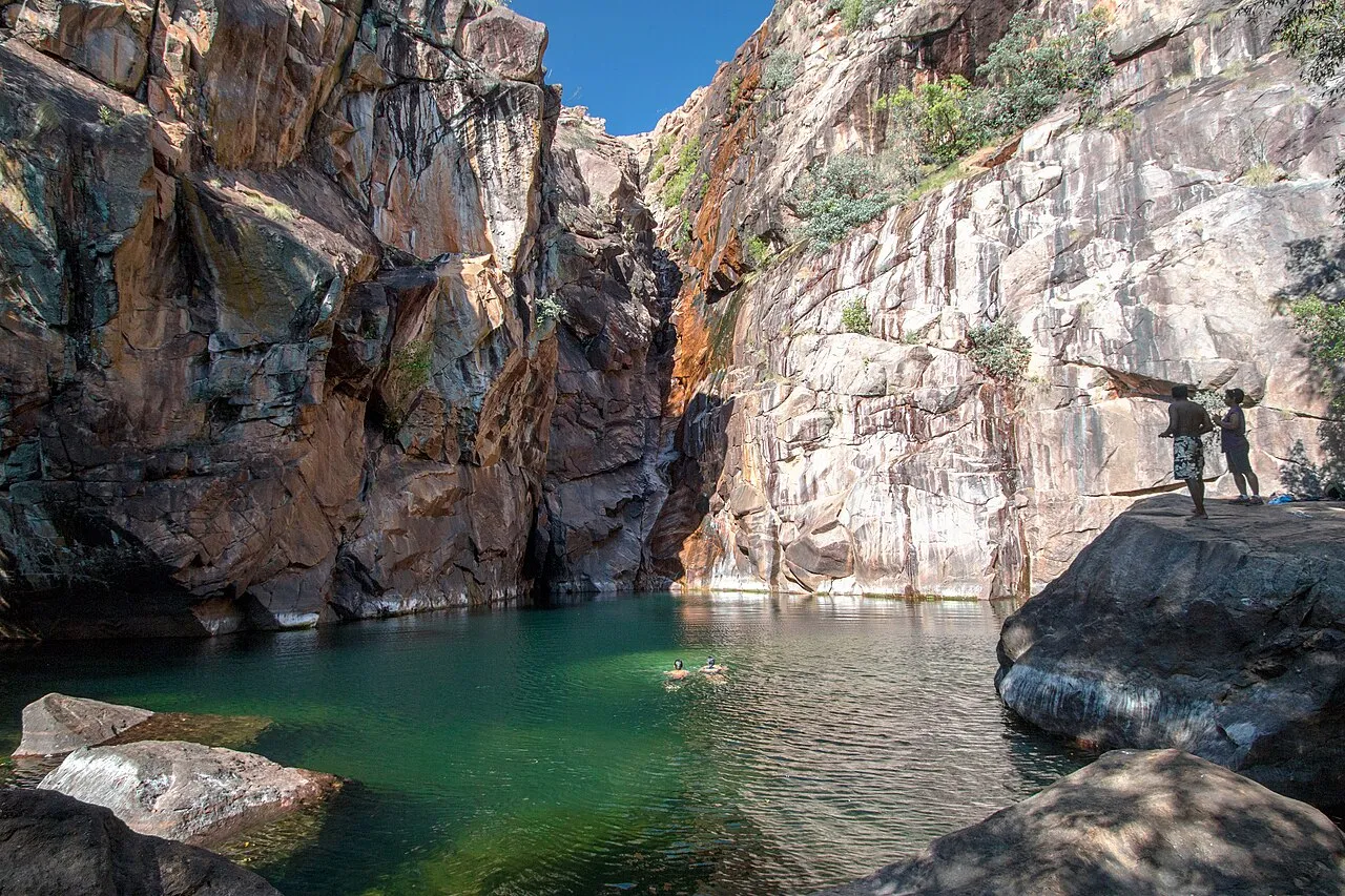
4 waterfalls · 3 lakes and ponds · 2 caves
- Jim Jim Falls
waterfall - Anbangbang Billabong
lake or pond - Anbangbang Shelter
cave - Gunlom Falls
waterfall - Red Lily Billabong
lake or pond · 9 m
Data © OpenStreetMap contributors (ODbL) · Wikidata (CC0)
Access and visiting
Nearest airport: Darwin (DRW), about 111 km away. Fewer than 5,000 people live within 20 km of the site boundary, a very sparsely populated area; some 1,700 people are estimated to live inside (GHSL estimate, 2020). Visitor information on site: Bowali Visitor's Centre. Public car parks listed within the site: 43, including Yurmikmik (Boulder Creek), Maguk Parking and Twin Falls. To see: 4 waterfalls, 3 lakes and ponds and 2 caves, including Jim Jim Falls, Anbangbang Billabong, Anbangbang Shelter and Gunlom Falls. To plan a visit (access, opening periods, visitor rules), it is best to consult the official information from the managing body (Director of National Parks) and the official website listed in this page's sources.
Source: OpenStreetMap (ODbL), Wikidata (CC0), November 2026.
Built heritage
According to Wikidata, one monument listed on Australian state heritage registers or the Commonwealth Heritage List stands within the boundary. “Kakadu National Park” in Northern Territory is listed as UNESCO World Heritage.
-
Kakadu National Park
UNESCO National
Northern Territory · 20th c.
Source: Wikidata (CC0), monuments in each country’s official heritage protection registers, at national or regional level. Each item links to its Wikidata entry.
When to visit
Best time to visit: the dry season, from May to September, with less than 10 mm of rain per month. Precipitation peaks from November to March (up to 320 mm per month). Day length ranges from about 11 h 22 min in June to 12 h 53 min in December. Wildlife records published on GBIF peak for birds (from July to September), plants (April and May), butterflies and moths (March), dragonflies (November) and mammals (November). These peaks also reflect when observers are most active.
Source: Copernicus ERA5-Land (C3S), monthly averages 1996–2025 at the representative point, temperatures adjusted for elevation.
Contains modified Copernicus Climate Change Service information 2026. Neither the European Commission nor ECMWF is responsible for any use that may be made of the Copernicus information or data it contains.
Wildlife records calendar
JFMAMJJASOND
Birds
Plants
Butterflies & moths
Dragonflies
Mammals
Monthly records published on GBIF (CC-BY), relative to the busiest month; also reflects observer activity.
Gallery
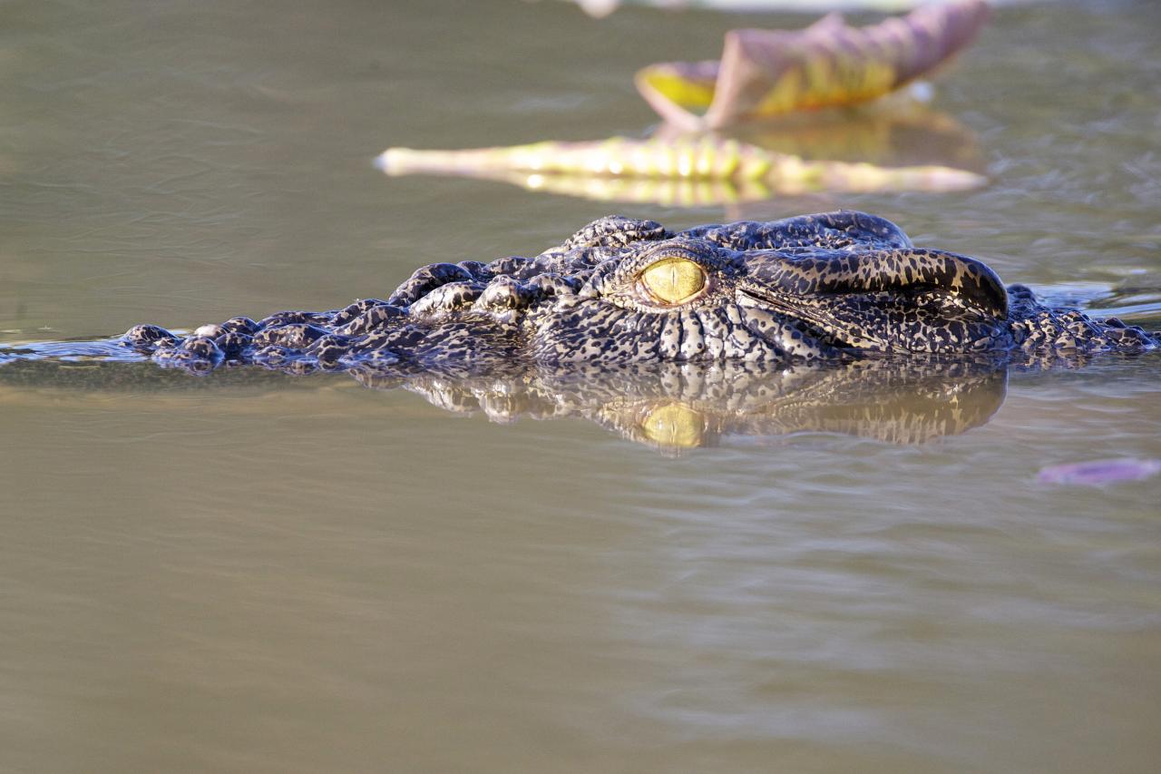
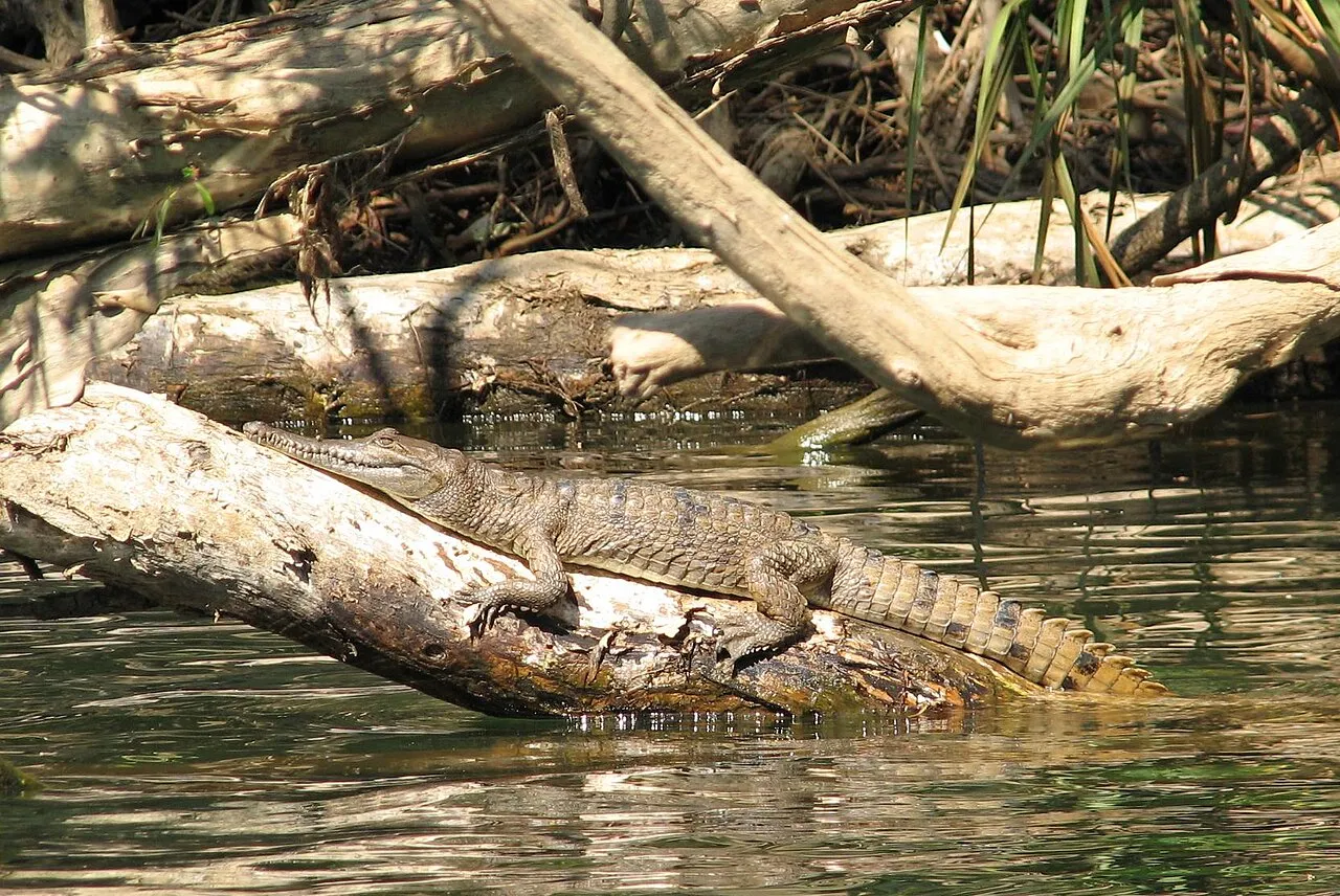
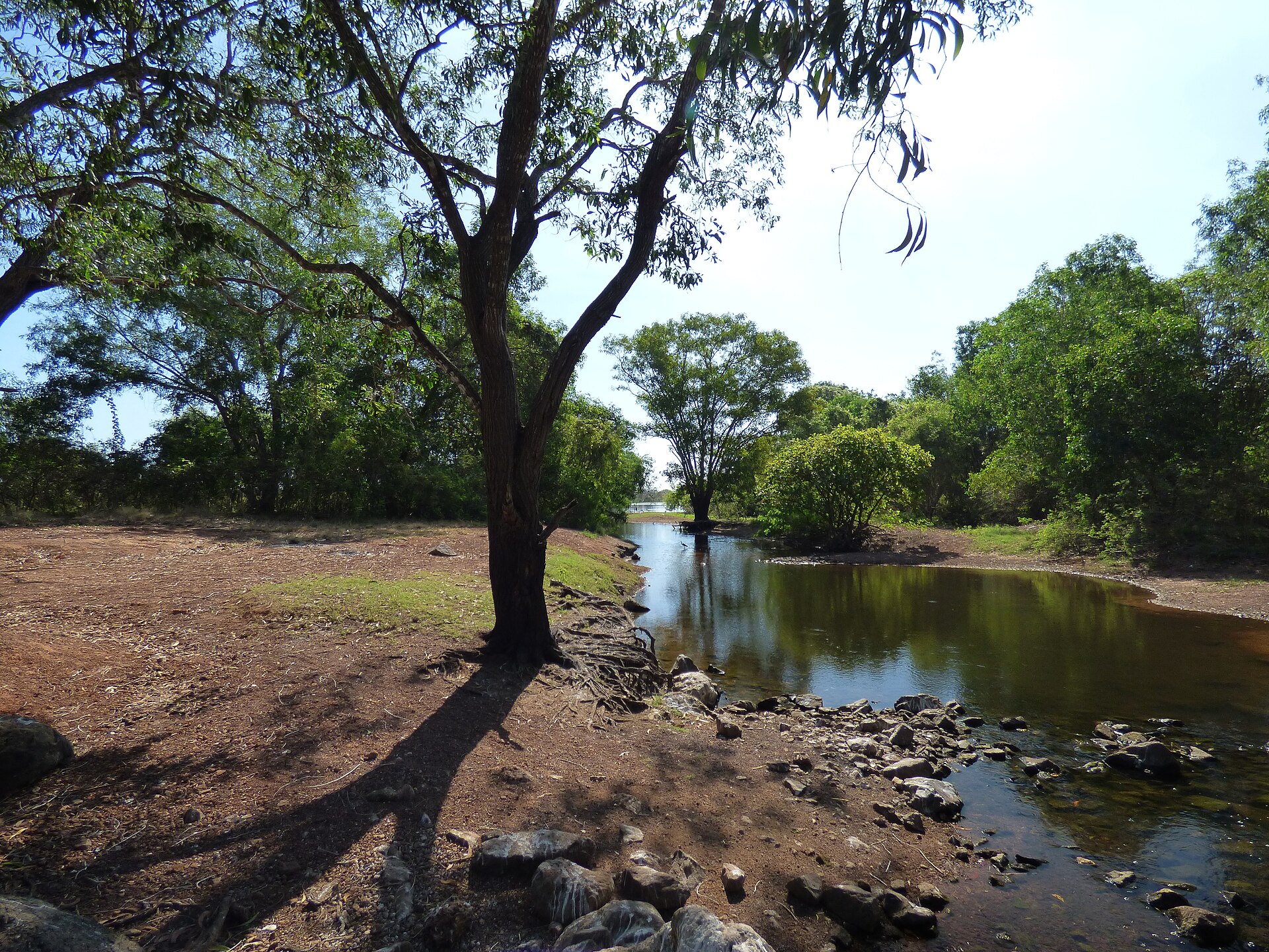
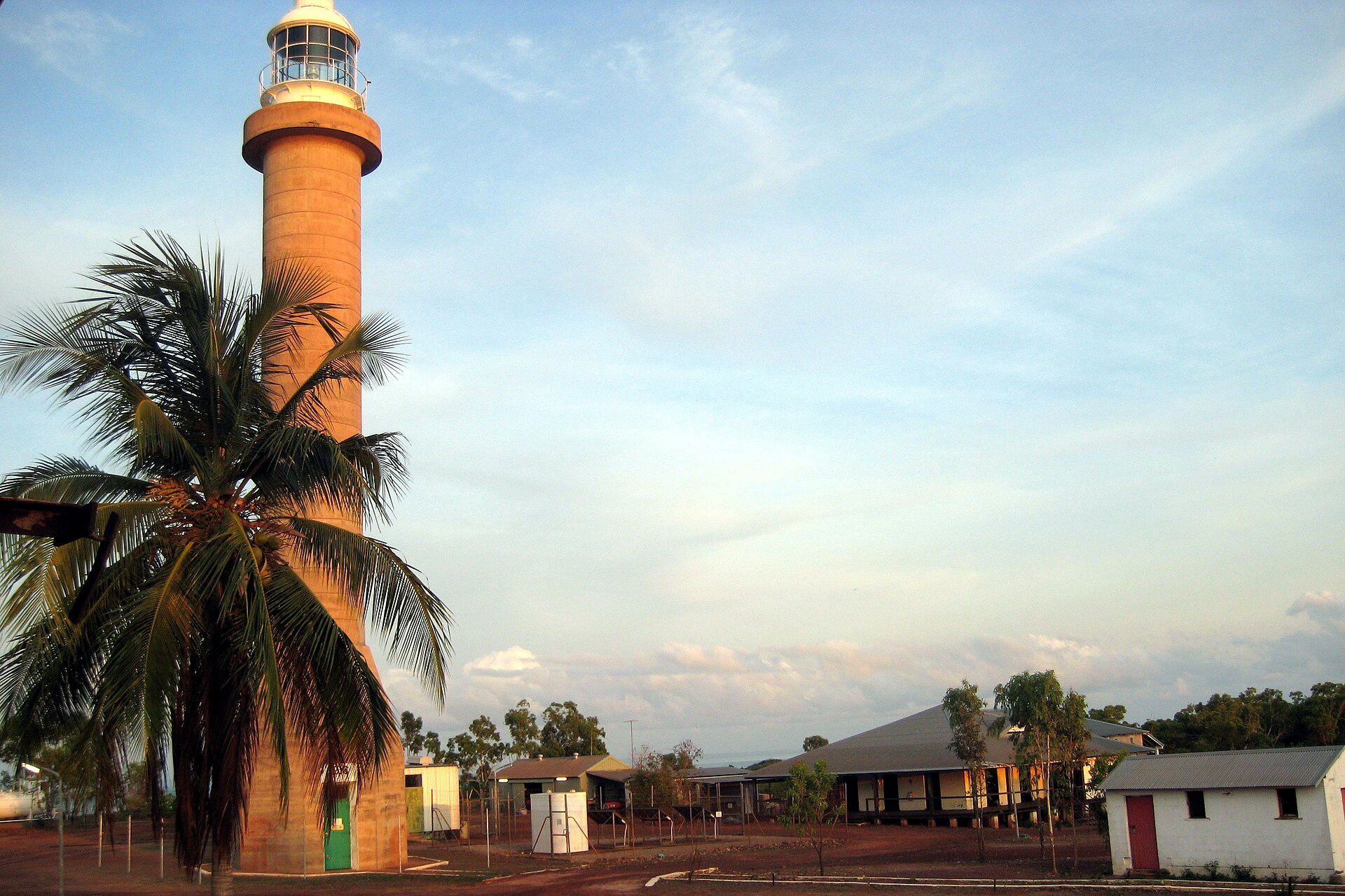
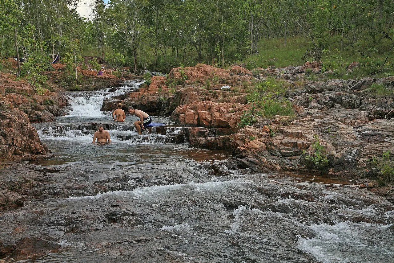
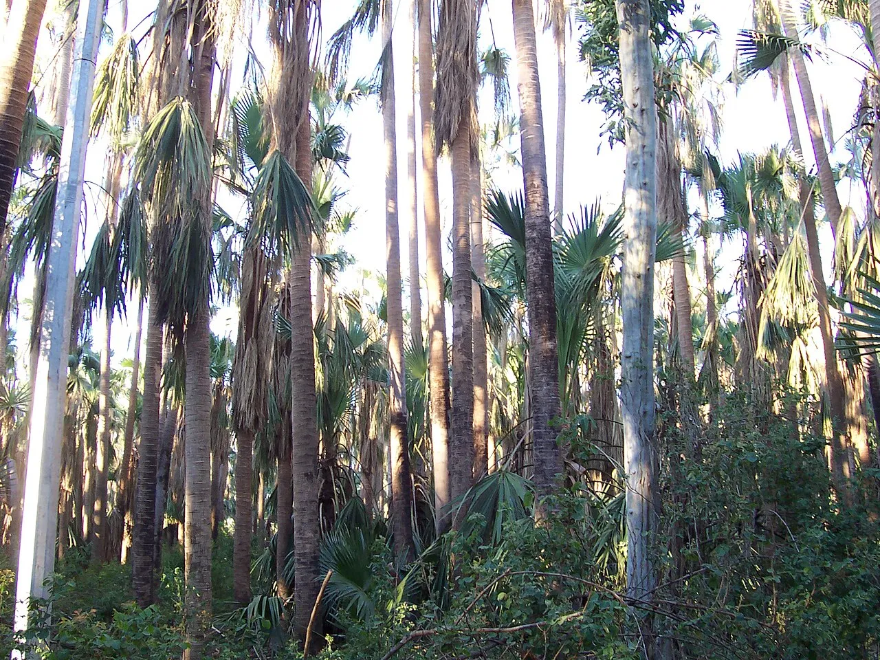
© Andrea Schaffer · CC BY-SA 4.0
© Charles J. Sharp · CC BY-SA 4.0
© Dietmar Rabich · CC BY-SA 4.0
© Emily Cox · CC BY-SA 4.0
© Iambexta · CC BY-SA 4.0
© Charles J. Sharp · CC BY-SA 4.0
Sources and licences
- Wikidata: Q189657
- OpenStreetMap: relation 13000016
- Official website: http://www.environment.gov.au/topics/national-parks/kakadu-national-park
- Wikipedia: en.wikipedia.org/wiki/Kakadu_National_Park
- WDPA: 393
References
- cds.climate.copernicus.eu: climate · CC-BY-4.0
- registry.opendata.aws: elevation of the reference point, detailed relief · PD
- lpdaac.usgs.gov: land cover · PD
- doi.org: population around the site · CC-BY-4.0
- naturalearthdata.com: sea share · PD
- wikidata.org: official area, highest point, establishment date, protected heritage, managing body, official name, nearby cities and airport, access and peaks, lake depths, places to see, official website · CC0-1.0
- en.eurovelo.com: EuroVelo cycle routes · ODbL-1.0
- cycling.waymarkedtrails.org: cycle routes · ODbL-1.0
- opentopodata.org: elevations · PD
- globalforestwatch.org: tree cover loss · CC-BY-4.0
- gbif.org: seasonality of sightings, invasive alien species, observed species · CC-BY-4.0
- earthobservatory.nasa.gov: night light · PD
- openstreetmap.org: access and peaks · ODbL-1.0
- nsidc.org: snow cover · PD
- wikidata.org: Wikipedia article · CC-BY-SA-4.0
Data © OpenStreetMap contributors (ODbL), Wikidata (CC0) and the sources cited.