Australia · Terrestrial
Gibraltar Range National Park
National park of 25,300 hectares in Australia, established in 1967.
Overview
National park of 25,300 hectares in Australia, established in 1967.
Gibraltar Range National Park is located in Australia (Oceania). It is a predominantly terrestrial area. Established on 1 October 1967, it covers about 25,300 hectares. The site is managed by NSW National Parks and Wildlife Service.
Protections and designations
UNESCO World Heritage
Protected as a national park. International labels and designations: UNESCO World Heritage (“Gondwana Rainforests of Australia”). Key dates: established in 1967 and World Heritage listing in 1986.
In our collections
Timeline
-
1967
Established
-
1986
Inscribed as a UNESCO World Heritage Site Gondwana Rainforests of Australia
Sources: Wikidata (CC0) for establishment and international labels; EEA Natura 2000 database (CC-BY 4.0) for site designation dates.
Frequently asked questions
Where is Gibraltar Range National Park?
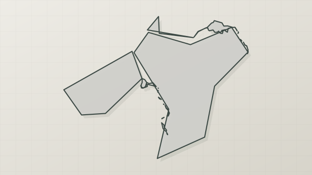
In Australia (Oceania). Representative point: 29.5350° S, 152.3399° E.
How large is Gibraltar Range National Park?
About 25,300 hectares (253 km²). It is the 178th largest of the 678 national parks in Australia covered by Parkavela.
When was Gibraltar Range National Park established?
On 1 October 1967.
What habitats and landscapes does Gibraltar Range National Park include?
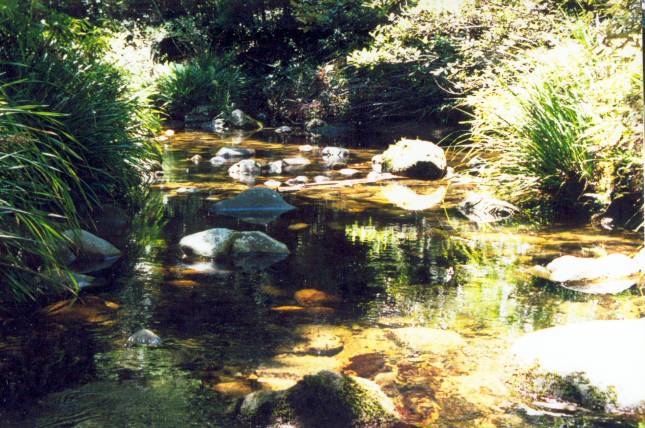
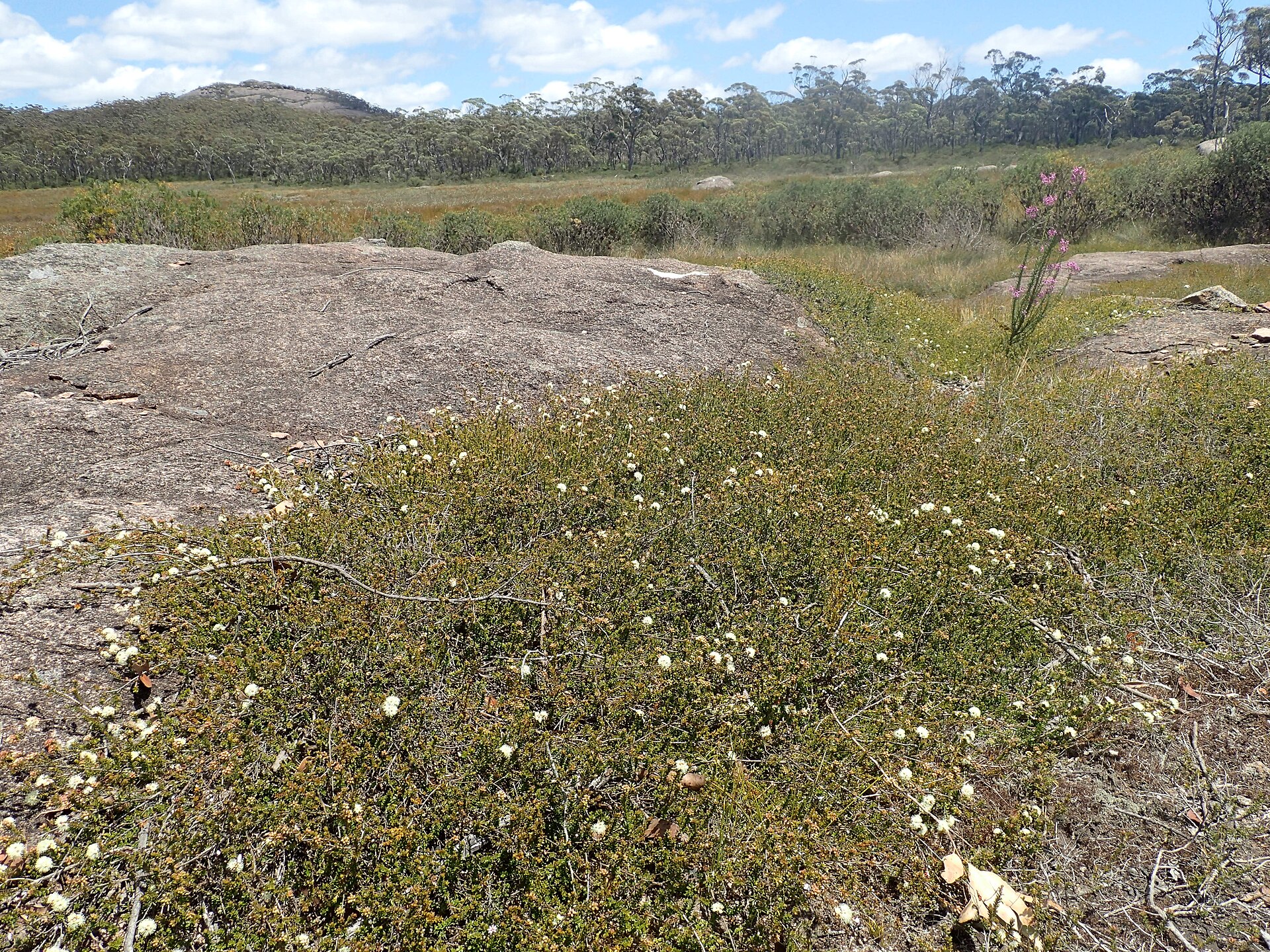
A terrestrial area, with forests and mountains.
What is the highest point of Gibraltar Range National Park?
Summit Mountain, at 1,173 m (OpenStreetMap).
What are the main summits of Gibraltar Range National Park?
Summit Mountain (1,173 m), Boundary (1,051 m) and Anvil Rock (1,050 m) (OpenStreetMap).
Which international labels apply to Gibraltar Range National Park?
UNESCO World Heritage (“Gondwana Rainforests of Australia”).
When is the best time to visit Gibraltar Range National Park?
Best time to visit: April and May, with average temperatures of 10 to 14 °C and moderate rainfall.
What is there to see in Gibraltar Range National Park?
Waterfall Boundary Falls (Wikidata).
What is the nearest airport to Gibraltar Range National Park?
Nearest airport: Coffs Harbour (CFS), about 98 km away.
Are there waymarked hiking trails in Gibraltar Range National Park?
Yes. Waymarked hiking routes listed in OpenStreetMap: 2, including World Heritage Walk. The “World Heritage Walk” route runs for about 31 km through the site, with some 230 m of ascent on its longest section.
Which species can be seen in Gibraltar Range National Park?
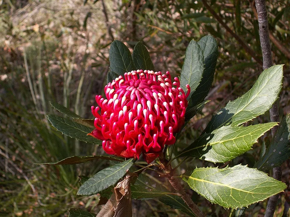
Among the species most often recorded on GBIF are Telopea aspera (Gibraltar Range Waratah), Grevillea rhizomatosa (Gibraltar Grevillea), Grevillea acerata and Grevillea mollis.
Who manages Gibraltar Range National Park?
NSW National Parks and Wildlife Service.
What is the official website of Gibraltar Range National Park?
nationalparks.nsw.gov.au/visit-a-park/parks/Gibraltar-Range-National-Park
© OpenStreetMap
Download the boundary: GeoJSON · GPX Boundary © OpenStreetMap contributors (ODbL).
Geography
The representative point of the site lies at around 973 m above sea level. Over the 1996–2025 period, the mean annual temperature is about 13.5 °C and total precipitation reaches roughly 1,210 mm per year. The warmest month is usually January, the coolest July, and the wettest January.
Area
- Area
- 25,300 ha
- Elevation
- 973 m
- Median elevation
- 939 m
- Mean slope
- 16°
- Coordinates
- -29.535, 152.3399
Terrain: Mapzen Terrain Tiles (SRTM, USGS)
Elevation bands
- below 500 m 14%
- 500–1,000 m 58%
- 1,000–1,500 m 28%
share of the site in each elevation band (smoothed terrain model: summits are rounded off) · Terrain: Mapzen Terrain Tiles (SRTM, USGS)
Main summits
- Summit Mountain1,173 m
- Boundary1,051 m
- Anvil Rock1,050 m
Data © OpenStreetMap contributors (ODbL)
Climate
● Mean temperature (°C) · ▮ Precipitation (mm)
Source: Copernicus ERA5-Land (C3S, doi:10.24381/cds.68d2bb30), monthly averages 1996–2025 interpolated to the representative point, temperatures adjusted for elevation.
Contains modified Copernicus Climate Change Service information 2026. Neither the European Commission nor ECMWF is responsible for any use that may be made of the Copernicus information or data it contains.
Natural habitats
According to the global MODIS land cover (NASA, 2024), the site is mainly made up of forests (83%) and heath and scrub (17%). It is mostly dense evergreen broadleaved forest. Elevation ranges from about 180 m to 1,173 m (highest point: Summit Mountain). Median elevation is 939 m, and 28% of the site lies above 1,000 m (SRTM elevation model). The terrain is steep: 10% of slopes exceed 30° (mean slope 16°).
Biodiversity
Based on occurrences aggregated by GBIF, several species are regularly recorded within the site. Among the most frequent are Telopea aspera (Gibraltar Range Waratah), Grevillea rhizomatosa (Gibraltar Grevillea), Grevillea acerata and Grevillea mollis. The full list of documented taxa is shown below.
Species to look out for


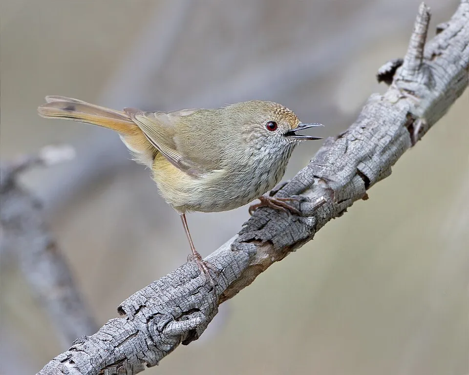
Bird
Brown Thornbill
Acanthiza pusilla466 records © JJ Harrison (https://www.jjharrison.com.au/) · CC BY-SA 3.0
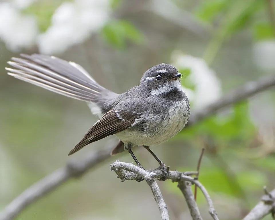
Bird
Grey Fantail
Rhipidura albiscapa441 records © JJ Harrison (https://www.jjharrison.com.au/) · CC BY-SA 3.0

Observed species
Occurrences documented via GBIF; they are neither an exhaustive inventory nor proof of current presence.
- Gibraltar Range Waratah · Telopea aspera · 1316
- Gibraltar Grevillea · Grevillea rhizomatosa · 1315
- Grevillea acerata · 706
- Grevillea mollis · 579
- Brown Thornbill · Acanthiza pusilla · 466
- Grey Fantail · Rhipidura albiscapa · 441
- Gibraltar range bush-pea · Pultenaea tarik · 439
- Eastern Yellow Robin · Eopsaltria australis · 407
- White-throated Treecreeper · Cormobates leucophaea · 400
- White-browed Scrubwren · Sericornis frontalis · 390
- Yellow-faced Honeyeater · Caligavis chrysops · 378
- Eastern Spinebill · Acanthorhynchus tenuirostris · 350
+18 more species
- New Holland Honeyeater · Phylidonyris novaehollandiae · 347
- Acacia beadleana · 347
- Crimson Rosella · Platycercus elegans · 337
- Grey Shrikethrush · Colluricincla harmonica · 321
- Golden Whistler · Pachycephala pectoralis · 311
- Lewin's Honeyeater · Meliphaga lewinii · 298
- Steelhead · Callitris monticola · 259
- Eastern Whipbird · Psophodes olivaceus · 254
- Satin Bowerbird · Ptilonorhynchus violaceus · 249
- Fan-tailed Cuckoo · Cacomantis flabelliformis · 244
- Coconut Lorikeet · Trichoglossus haematodus · 243
- Pied Currawong · Strepera graculina · 237
- Brown Gerygone · Gerygone mouki · 224
- Rufous Fantail · Rhipidura rufifrons · 224
- Spotted Pardalote · Pardalotus punctatus · 218
- Yellow-throated Scrubwren · Sericornis citreogularis · 216
- Striated Thornbill · Acanthiza lineata · 215
- Red-browed Finch · Neochmia temporalis · 213
Records: GBIF.org (CC-BY). Names: Wikidata (CC0), GBIF. Photos: Wikimedia Commons.
Conservation challenges
The primary purpose of the site is to preserve its natural habitats and the biodiversity they support. The species recorded (Biodiversity tab) reflect its ecological value. The designations it holds frame its management and the control of land use.
According to Global Forest Change data (University of Maryland, Global Forest Watch), about 10,250 ha of tree cover were lost within the boundary between 2001 and 2023 (40% of its area), peaking in 2019 and 2020. These losses include logging, storms and fires, and do not account for regrowth. At night, the area gives off virtually no artificial light detectable from space (NASA VIIRS Black Marble composite, 2016). Since 2000, 16 invasive alien species have been recorded within the site (GBIF observations). Among them: Menura novaehollandiae (Superb Lyrebird), Manorina melanophrys (Bell Miner) and Dianella caerulea (Cerulean flaxlily).
Pressure indicators
Tree cover lost
10,246 ha
2001–2023 · 40% of the area
20012023
Light at night
0%
of the area gives off artificial light visible from space
DarkLit
Invasive alien species
16
recorded since 2000
Superb Lyrebird
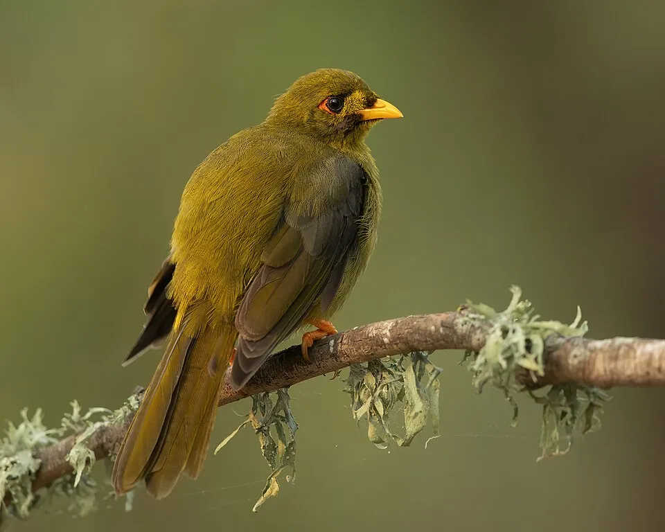 Bell Miner
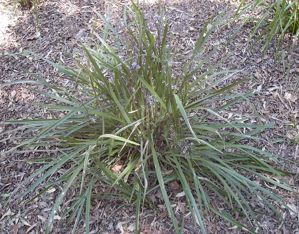 Cerulean flaxlily
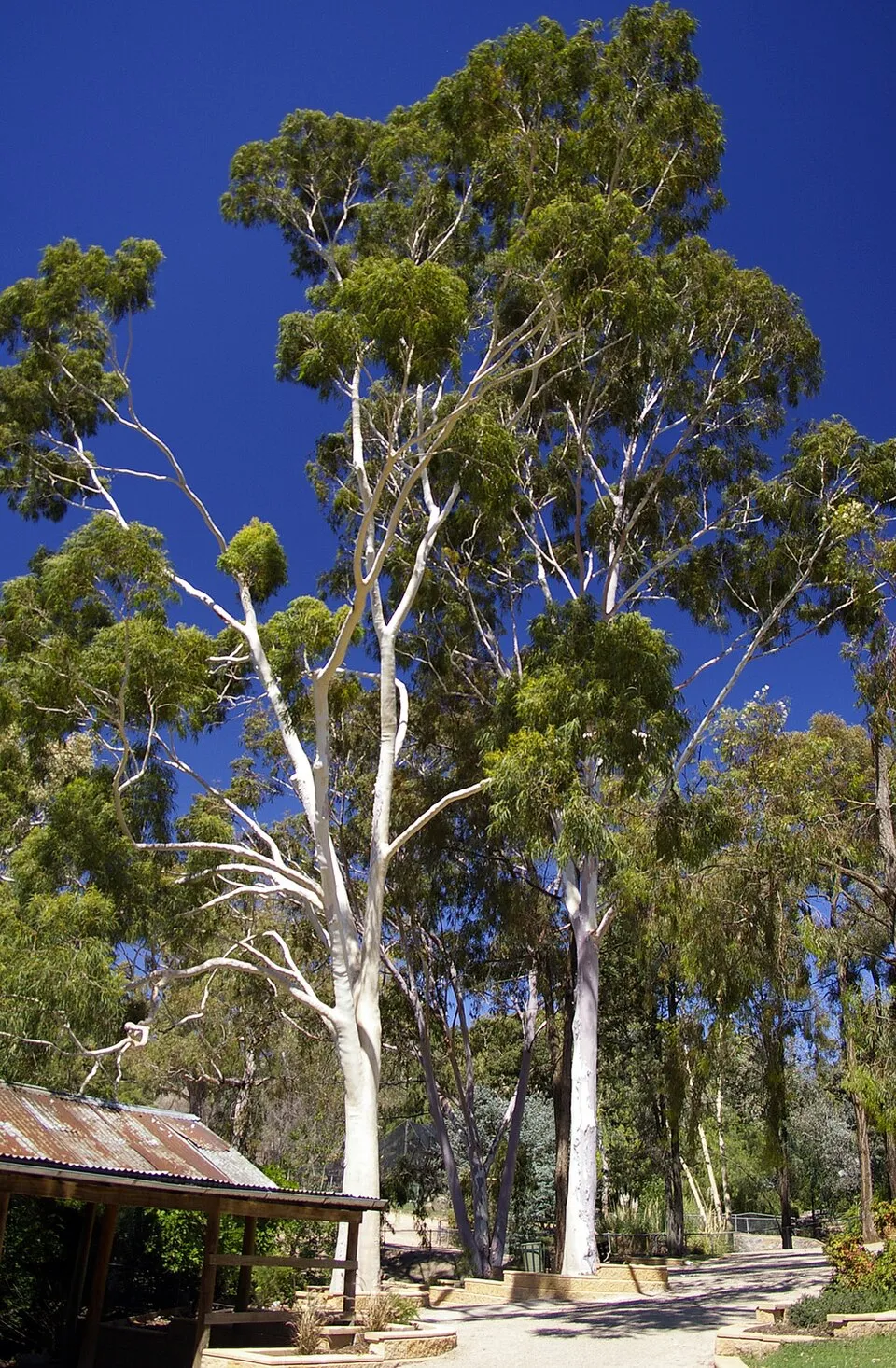 Lemonscented gum
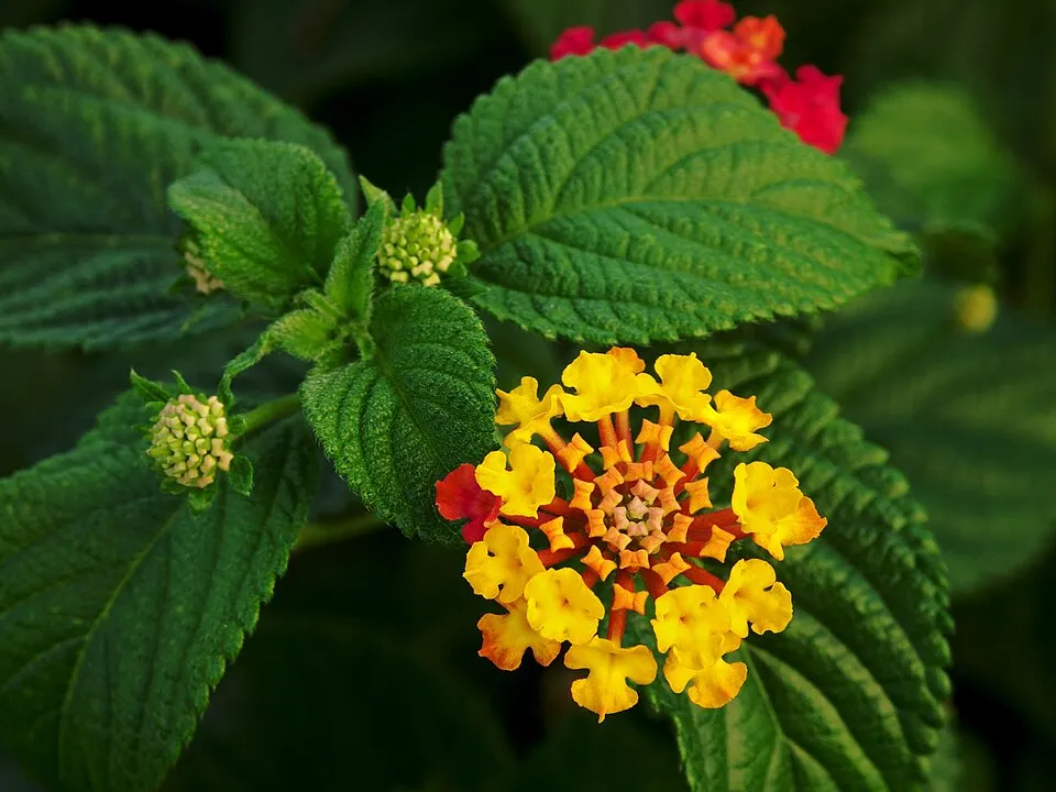 Lantana
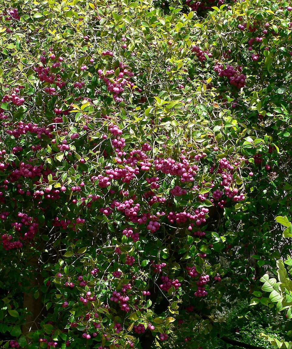 Lilly-pilly
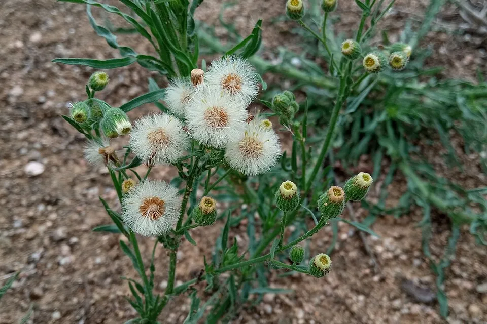 Argentine fleabane
 Bleeding Heart Tree
Bell Miner
Cerulean flaxlily
Lemonscented gum
Lantana
Lilly-pilly
Argentine fleabane
Bleeding Heart Tree
Photos: Bell Miner © JJ Harrison (https://www.jjharrison.com.au/) · CC BY-SA 4.0; Cerulean flaxlily © Ethel Aardvark · CC BY-SA 3.0; Lemonscented gum © Bidgee · CC BY 3.0; Lantana © Alvesgaspar · CC BY-SA 3.0; Lilly-pilly © Stan Shebs · CC BY-SA 3.0; Argentine fleabane © Josep Gesti · CC BY-SA 4.0; Bleeding Heart Tree © Poyt448 Peter Woodard · Public domain
Sources: Global Forest Change (Hansen et al., University of Maryland, via Global Forest Watch, CC-BY 4.0); EFFIS, European Commission / Copernicus; NASA Black Marble 2016 (public domain); CORINE Land Cover 2018 (Copernicus) or MODIS.
Invasive alien species: Global Register of Introduced and Invasive Species (ISSG, CC BY 4.0); Union list, Regulation (EU) 1143/2014 (INBO, CC0); GBIF.org records (CC0 / CC BY 4.0), at least 2 per species.
Practical information
Cities and airport
- Airport: Coffs Harbour (CFS)
98 km as the crow flies
Parking
17 public car parks listed within the site
Raspberry LookoutGibraltar Range Info Centre / Dandahra Picnic AreaThe Summit (Westbound)Heffrons Lookout Rest Area
Hiking
2 waymarked routes listed, including:
World Heritage Walk
Data © OpenStreetMap contributors (ODbL) · Wikidata (CC0)
Waymarked hiking routes
Tracks © OpenStreetMap contributors (ODbL), clipped to the boundary; elevation gain and profiles computed on the longest section from Mapzen Terrain Tiles (≈ 30 m), indicative only.
Access and visiting
Nearest airport: Coffs Harbour (CFS), about 98 km away. Fewer than 5,000 people live within 20 km of the site boundary, a very sparsely populated area; the site itself is virtually uninhabited (GHSL estimate, 2020). Public car parks listed within the site: 17, including Raspberry Lookout, Gibraltar Range Info Centre / Dandahra Picnic Area and The Summit (Westbound). Waymarked hiking routes listed in OpenStreetMap: 2, including World Heritage Walk. To see: waterfall Boundary Falls. To plan a visit (access, opening periods, visitor rules), it is best to consult the official information from the managing body (NSW National Parks and Wildlife Service) and the official website listed in this page's sources.
Source: OpenStreetMap (ODbL), Wikidata (CC0), November 2026.
When to visit
Best time to visit: April and May, with average temperatures of 10 to 14 °C and moderate rainfall. Precipitation peaks from November to March (up to 180 mm per month). These averages apply to the site's representative point (973 m); higher up it is markedly cooler. Day length ranges from about 10 h 16 min in June to 14 h 02 min in December. Wildlife records published on GBIF peak for birds (from September to November), plants (March), butterflies and moths (September), dragonflies (December and January) and mammals (February). These peaks also reflect when observers are most active.
Source: Copernicus ERA5-Land (C3S), monthly averages 1996–2025 at the representative point, temperatures adjusted for elevation.
Contains modified Copernicus Climate Change Service information 2026. Neither the European Commission nor ECMWF is responsible for any use that may be made of the Copernicus information or data it contains.
Wildlife records calendar
JFMAMJJASOND
Birds
Plants
Butterflies & moths
Dragonflies
Mammals
Monthly records published on GBIF (CC-BY), relative to the busiest month; also reflects observer activity.
Gallery
© Geoff Derrin · CC BY-SA 4.0
© Glen Fergus · CC BY-SA 2.5
© RuthP · CC BY-SA 2.0
© Geoff Derrin · CC BY-SA 4.0
© Geoff Derrin · CC BY-SA 4.0
© Glen Fergus · CC BY-SA 2.5
Sources and licences
- Wikidata: Q1522939
- OpenStreetMap: relation 5926112
- Official website: http://www.nationalparks.nsw.gov.au/visit-a-park/parks/Gibraltar-Range-National-Park
- Wikipedia: en.wikipedia.org/wiki/Gibraltar_Range_National_Park
- WDPA: 366
References
- cds.climate.copernicus.eu: climate · CC-BY-4.0
- registry.opendata.aws: elevation of the reference point, detailed relief · PD
- lpdaac.usgs.gov: land cover · PD
- doi.org: population around the site · CC-BY-4.0
- naturalearthdata.com: sea share · PD
- wikidata.org: official area, highest point, establishment date, protected heritage, managing body, official name, nearby cities and airport, access and peaks, lake depths, places to see, official website · CC0-1.0
- en.eurovelo.com: EuroVelo cycle routes · ODbL-1.0
- cycling.waymarkedtrails.org: cycle routes · ODbL-1.0
- opentopodata.org: elevations · PD
- globalforestwatch.org: tree cover loss · CC-BY-4.0
- gbif.org: seasonality of sightings, invasive alien species, observed species · CC-BY-4.0
- earthobservatory.nasa.gov: night light · PD
- openstreetmap.org: access and peaks · ODbL-1.0
- hiking.waymarkedtrails.org: route difficulty · ODbL-1.0
- nsidc.org: snow cover · PD
- wikidata.org: Wikipedia article · CC-BY-SA-4.0
Data © OpenStreetMap contributors (ODbL), Wikidata (CC0) and the sources cited.