Australia · Terrestrial
Washpool National Park
National park of 68,879 hectares in Australia, established in 1983.
Overview
National park of 68,879 hectares in Australia, established in 1983.
Washpool National Park is located in Australia (Oceania). It is a predominantly terrestrial area. Established in 1983, it covers about 68,879 hectares. The site is managed by NSW National Parks and Wildlife Service.
Protections and designations
UNESCO World Heritage
Protected as a national park. International labels and designations: UNESCO World Heritage (“Gondwana Rainforests of Australia”). Key dates: established in 1983 and World Heritage listing in 1986.
In our collections
Timeline
-
1983
Established
-
1986
Inscribed as a UNESCO World Heritage Site Gondwana Rainforests of Australia
Sources: Wikidata (CC0) for establishment and international labels; EEA Natura 2000 database (CC-BY 4.0) for site designation dates.
Frequently asked questions
Where is Washpool National Park?
In Australia (Oceania). Representative point: 29.3650° S, 152.3344° E.
How large is Washpool National Park?
About 68,879 hectares (689 km²). It is the 89th largest of the 678 national parks in Australia covered by Parkavela.
When was Washpool National Park established?
In 1983.
What habitats and landscapes does Washpool National Park include?
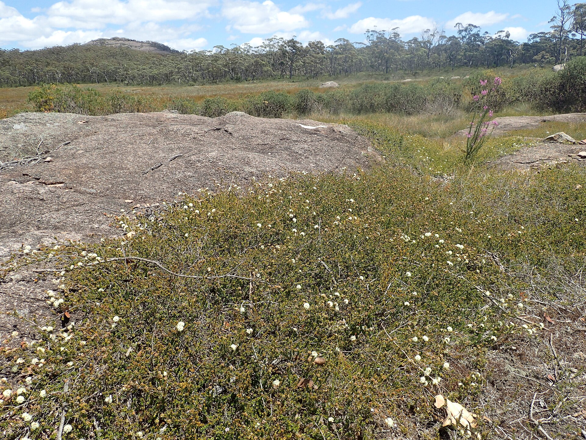
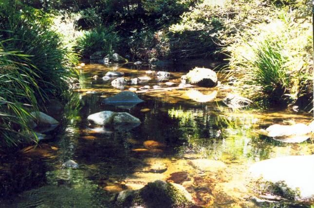
A terrestrial area, with forests and mountains.
What is the highest point of Washpool National Park?
Big Mount Spirabo, at 1,491 m (OpenStreetMap).
What are the main summits of Washpool National Park?
Big Mount Spirabo (1,491 m), Mount Bajimba (1,448 m), Waratah (1,177 m), Hayden (1,177 m) and Albert (1,174 m) (OpenStreetMap).
Which international labels apply to Washpool National Park?
UNESCO World Heritage (“Gondwana Rainforests of Australia”).
When is the best time to visit Washpool National Park?
Best time to visit: from August to October, with average temperatures of 10 to 17 °C and moderate rainfall.
Are there historic monuments in Washpool National Park?
Yes. According to Wikidata, one monument listed on Australian state heritage registers or the Commonwealth Heritage List stands within the boundary. For example: “High Conservation Value Old Growth forest” in New South Wales.
What is the nearest airport to Washpool National Park?
Nearest airport: Coffs Harbour (CFS), about 119 km away.
Are there waymarked hiking trails in Washpool National Park?
Yes. Waymarked hiking routes listed in OpenStreetMap: 1, including World Heritage Walk. The “World Heritage Walk” route runs for about 11 km through the site, with some 280 m of ascent on its longest section.
Which species can be seen in Washpool National Park?
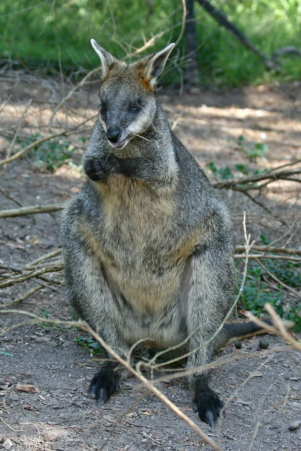
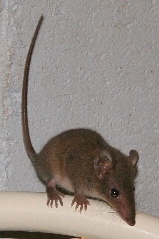
Among the species most often recorded on GBIF are Wallabia bicolor (Swamp wallaby), Antechinus stuartii (Brown antechinus), Petauroides volans (Greater Glider) and Menura novaehollandiae (Superb Lyrebird).
Who manages Washpool National Park?
NSW National Parks and Wildlife Service.
What is the official website of Washpool National Park?
nationalparks.nsw.gov.au/visit-a-park/parks/Washpool-National-Park
© OpenStreetMap
Download the boundary: GeoJSON · GPX Boundary © OpenStreetMap contributors (ODbL).
Geography
The representative point of the site lies at around 662 m above sea level. Over the 1996–2025 period, the mean annual temperature is about 15.5 °C and total precipitation reaches roughly 1,193 mm per year. The warmest month is usually January, the coolest July, and the wettest January.
Area
- Area
- 68,879 ha
- Elevation
- 662 m
- Median elevation
- 896 m
- Mean slope
- 15°
- Coordinates
- -29.365, 152.3344
Terrain: Mapzen Terrain Tiles (SRTM, USGS)
Elevation bands
- below 500 m 8%
- 500–1,000 m 64%
- 1,000–1,500 m 28%
share of the site in each elevation band (smoothed terrain model: summits are rounded off) · Terrain: Mapzen Terrain Tiles (SRTM, USGS)
Main summits
- Big Mount Spirabo1,491 m
- Mount Bajimba1,448 m
- Waratah1,177 m
- Hayden1,177 m
- Albert1,174 m
Data © OpenStreetMap contributors (ODbL)
Climate
● Mean temperature (°C) · ▮ Precipitation (mm)
Source: Copernicus ERA5-Land (C3S, doi:10.24381/cds.68d2bb30), monthly averages 1996–2025 interpolated to the representative point, temperatures adjusted for elevation.
Contains modified Copernicus Climate Change Service information 2026. Neither the European Commission nor ECMWF is responsible for any use that may be made of the Copernicus information or data it contains.
Natural habitats
According to the global MODIS land cover (NASA, 2024), the site is mainly made up of forests (98%). It is mostly dense evergreen broadleaved forest. Elevation ranges from about 280 m to 1,491 m (highest point: Big Mount Spirabo). Median elevation is 896 m, and 28% of the site lies above 1,000 m (SRTM elevation model). The terrain is steep: 46% of slopes exceed 15° (mean slope 15°).
Biodiversity
Based on occurrences aggregated by GBIF, several species are regularly recorded within the site. Among the most frequent are Wallabia bicolor (Swamp wallaby), Antechinus stuartii (Brown antechinus), Petauroides volans (Greater Glider) and Menura novaehollandiae (Superb Lyrebird). The full list of documented taxa is shown below.
Species to look out for

Bird
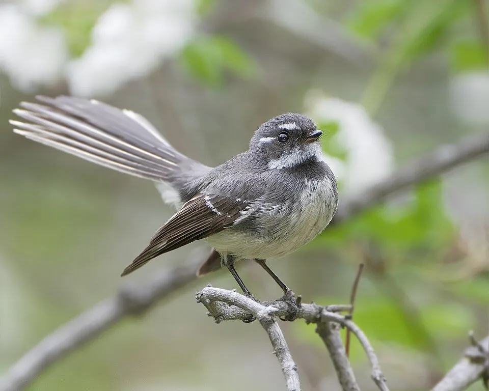
Grey Fantail
Rhipidura albiscapa384 records © JJ Harrison (https://www.jjharrison.com.au/) · CC BY-SA 3.0
Bird
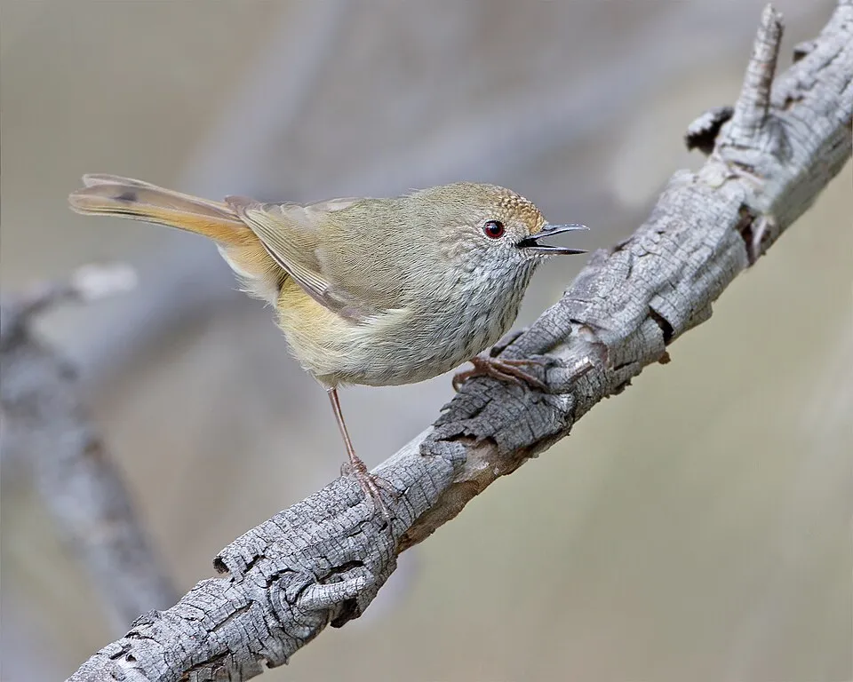
Brown Thornbill
Acanthiza pusilla383 records © JJ Harrison (https://www.jjharrison.com.au/) · CC BY-SA 3.0
Observed species
Occurrences documented via GBIF; they are neither an exhaustive inventory nor proof of current presence.
- Swamp wallaby · Wallabia bicolor · 1503
- Brown antechinus · Antechinus stuartii · 502
- Greater Glider · Petauroides volans · 396
- Superb Lyrebird · Menura novaehollandiae · 391
- Grey Fantail · Rhipidura albiscapa · 384
- Brown Thornbill · Acanthiza pusilla · 383
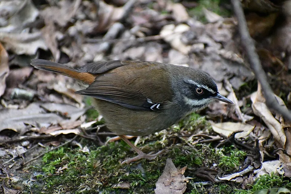
- White-browed Scrubwren · Sericornis frontalis · 354
- White-throated Treecreeper · Cormobates leucophaea · 349
- Golden Whistler · Pachycephala pectoralis · 316
- Long mat-rush · Lomandra longifolia · 311
- New England Blackbutt · Eucalyptus andrewsii · 310
- Lewin's Honeyeater · Meliphaga lewinii · 309
+18 more species
- Eastern Spinebill · Acanthorhynchus tenuirostris · 290
- Eastern Yellow Robin · Eopsaltria australis · 289
- Pied Currawong · Strepera graculina · 284
- Yellow-faced Honeyeater · Caligavis chrysops · 281
- Austral bracken · Pteridium esculentum · 271
- Cerulean flaxlily · Dianella caerulea · 269
- Grey Shrikethrush · Colluricincla harmonica · 268
- Eastern Water-skink · Eulamprus quoyii · 265
- Crimson Rosella · Platycercus elegans · 265
- Spotted Pardalote · Pardalotus punctatus · 260
- Brown Gerygone · Gerygone mouki · 253
- Leucopogon lanceolatus R.Br. · Leucopogon lanceolatus · 242
- Eastern Whipbird · Psophodes olivaceus · 236
- Rufous Fantail · Rhipidura rufifrons · 236
- Lobelia purpurascens · 235
- Satin Bowerbird · Ptilonorhynchus violaceus · 232
- Rainbow Skink · Lampropholis delicata · 231
- Cogongrass · Imperata cylindrica · 226
Records: GBIF.org (CC-BY). Names: Wikidata (CC0), GBIF. Photos: Wikimedia Commons.
Conservation challenges
The primary purpose of the site is to preserve its natural habitats and the biodiversity they support. The species recorded (Biodiversity tab) reflect its ecological value. The designations it holds frame its management and the control of land use.
According to Global Forest Change data (University of Maryland, Global Forest Watch), about 27,820 ha of tree cover were lost within the boundary between 2001 and 2023 (40% of its area), peaking in 2019 and 2021. These losses include logging, storms and fires, and do not account for regrowth. At night, the area gives off virtually no artificial light detectable from space (NASA VIIRS Black Marble composite, 2016). Since 2000, 38 invasive alien species have been recorded within the site (GBIF observations). Among them: Menura novaehollandiae (Superb Lyrebird), Sus scrofa (Wild boar) and Dianella caerulea (Cerulean flaxlily).
Pressure indicators
Tree cover lost
27,817 ha
2001–2023 · 40% of the area
20012023
Light at night
0%
of the area gives off artificial light visible from space
DarkLit
Invasive alien species
38
recorded since 2000
Superb Lyrebird
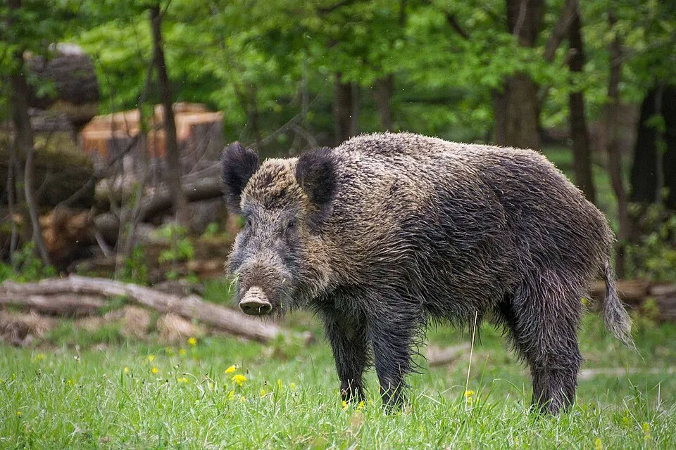 Wild boar
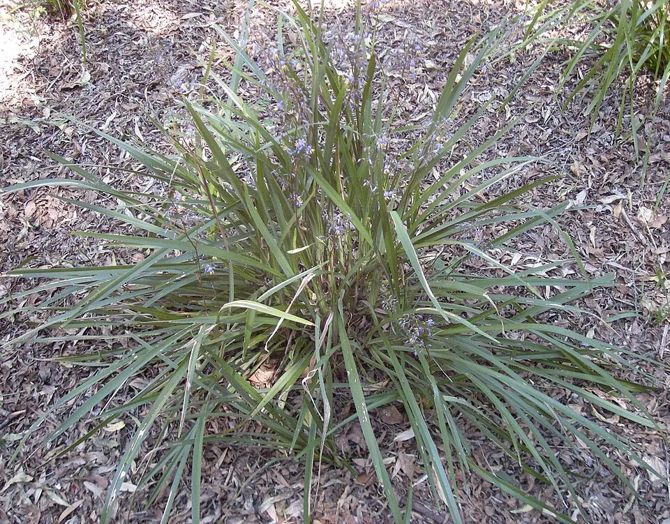 Cerulean flaxlily
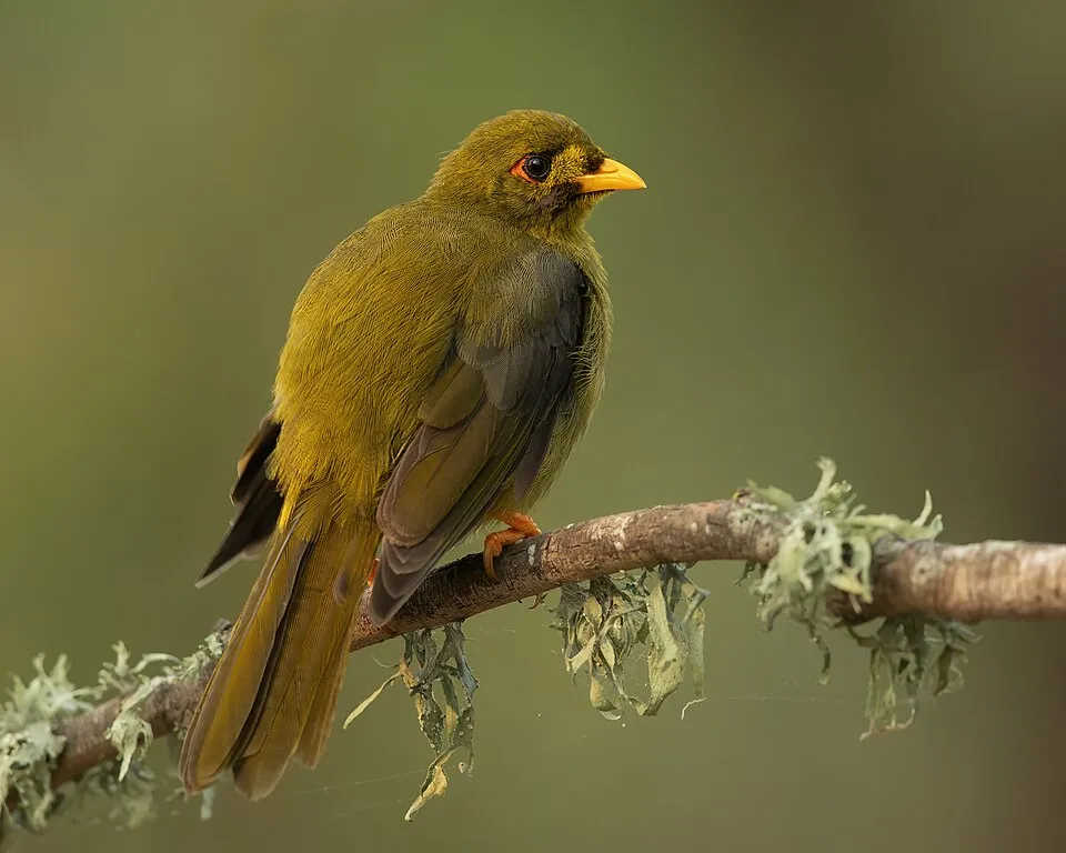 Bell Miner
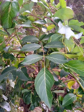 Elderberry-ash
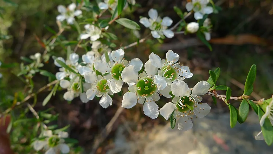 Tantoon
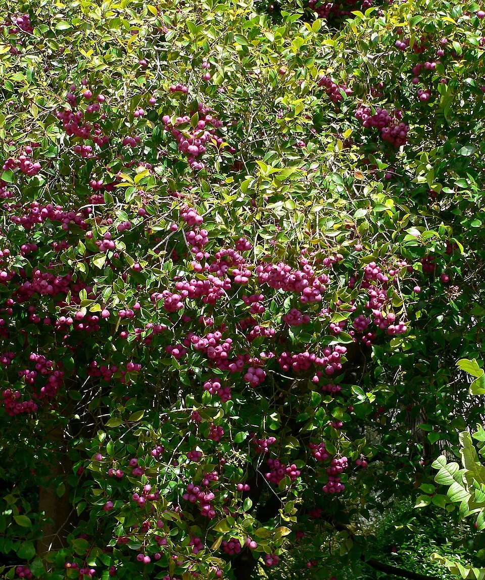 Lilly-pilly
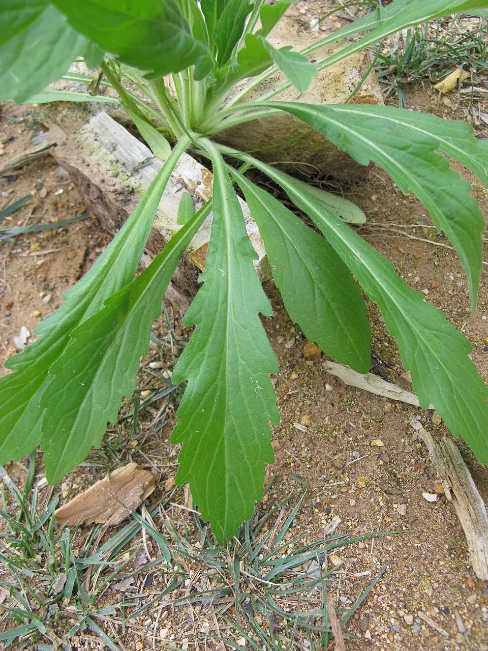 Guernsey fleabane
Wild boar
Cerulean flaxlily
Bell Miner
Elderberry-ash
Tantoon
Lilly-pilly
Guernsey fleabane
Photos: Wild boar © Valentin Panzirsch · CC BY-SA 3.0; Cerulean flaxlily © Ethel Aardvark · CC BY-SA 3.0; Bell Miner © JJ Harrison (https://www.jjharrison.com.au/) · CC BY-SA 4.0; Elderberry-ash © Poyt448 Peter Woodard · CC0-1.0; Tantoon © John Tann from Sydney, Australia · CC BY 2.0; Lilly-pilly © Stan Shebs · CC BY-SA 3.0; Guernsey fleabane © Harry Rose from South West Rocks, Australia · CC BY 2.0
Sources: Global Forest Change (Hansen et al., University of Maryland, via Global Forest Watch, CC-BY 4.0); EFFIS, European Commission / Copernicus; NASA Black Marble 2016 (public domain); CORINE Land Cover 2018 (Copernicus) or MODIS.
Invasive alien species: Global Register of Introduced and Invasive Species (ISSG, CC BY 4.0); Union list, Regulation (EU) 1143/2014 (INBO, CC0); GBIF.org records (CC0 / CC BY 4.0), at least 2 per species.
Practical information
Cities and airport
- Airport: Coffs Harbour (CFS)
119 km as the crow flies
Parking
4 public car parks listed within the site
Bus and Caravan Parking
Hiking
1 waymarked routes listed, including:
World Heritage Walk
Data © OpenStreetMap contributors (ODbL) · Wikidata (CC0)
Waymarked hiking routes
Tracks © OpenStreetMap contributors (ODbL), clipped to the boundary; elevation gain and profiles computed on the longest section from Mapzen Terrain Tiles (≈ 30 m), indicative only.
Access and visiting
Nearest airport: Coffs Harbour (CFS), about 119 km away. Fewer than 5,000 people live within 20 km of the site boundary, a very sparsely populated area; the site itself is virtually uninhabited (GHSL estimate, 2020). Public car parks listed within the site: 4, including Bus and Caravan Parking. Waymarked hiking routes listed in OpenStreetMap: 1, including World Heritage Walk. To plan a visit (access, opening periods, visitor rules), it is best to consult the official information from the managing body (NSW National Parks and Wildlife Service) and the official website listed in this page's sources.
Source: OpenStreetMap (ODbL), Wikidata (CC0), November 2026.
Built heritage
According to Wikidata, one monument listed on Australian state heritage registers or the Commonwealth Heritage List stands within the boundary. It is “High Conservation Value Old Growth forest” in New South Wales.
-
High Conservation Value Old Growth forest
New South Wales
Source: Wikidata (CC0), monuments in each country’s official heritage protection registers, at national or regional level. Each item links to its Wikidata entry.
When to visit
Best time to visit: from August to October, with average temperatures of 10 to 17 °C and moderate rainfall. Precipitation peaks from November to March (up to 180 mm per month). These averages apply to the site's representative point (662 m); higher up it is markedly cooler. Day length ranges from about 10 h 16 min in June to 14 h 01 min in December. Wildlife records published on GBIF peak for birds (September), plants (March), butterflies and moths (December) and mammals (May). These peaks also reflect when observers are most active.
Source: Copernicus ERA5-Land (C3S), monthly averages 1996–2025 at the representative point, temperatures adjusted for elevation.
Contains modified Copernicus Climate Change Service information 2026. Neither the European Commission nor ECMWF is responsible for any use that may be made of the Copernicus information or data it contains.
Wildlife records calendar
JFMAMJJASOND
Birds
Plants
Butterflies & moths
Mammals
Monthly records published on GBIF (CC-BY), relative to the busiest month; also reflects observer activity.
Gallery
© FearTec · Public domain
© Geoff Derrin · CC BY-SA 4.0
© Froggydarb · CC BY-SA 3.0
© Quartl · CC BY-SA 3.0
© Geoff Derrin · CC BY-SA 4.0
© Paul Gierszewski · CC BY-SA 4.0
Sources and licences
- Wikidata: Q2096005
- OpenStreetMap: relation 5926152
- Official website: http://www.nationalparks.nsw.gov.au/visit-a-park/parks/Washpool-National-Park
- Wikipedia: en.wikipedia.org/wiki/Washpool_National_Park
- WDPA: 10596
References
- cds.climate.copernicus.eu: climate · CC-BY-4.0
- registry.opendata.aws: elevation of the reference point, detailed relief · PD
- lpdaac.usgs.gov: land cover · PD
- doi.org: population around the site · CC-BY-4.0
- naturalearthdata.com: sea share · PD
- wikidata.org: official area, highest point, establishment date, protected heritage, managing body, nearby cities and airport, lake depths, official website · CC0-1.0
- en.eurovelo.com: EuroVelo cycle routes · ODbL-1.0
- cycling.waymarkedtrails.org: cycle routes · ODbL-1.0
- opentopodata.org: elevations · PD
- globalforestwatch.org: tree cover loss · CC-BY-4.0
- gbif.org: seasonality of sightings, invasive alien species, observed species · CC-BY-4.0
- openstreetmap.org: official name, access and peaks · ODbL-1.0
- earthobservatory.nasa.gov: night light · PD
- hiking.waymarkedtrails.org: route difficulty · ODbL-1.0
- nsidc.org: snow cover · PD
- wikidata.org: Wikipedia article · CC-BY-SA-4.0
Data © OpenStreetMap contributors (ODbL), Wikidata (CC0) and the sources cited.