Argentina · Mixed
Islote Lobos National Park
National park of 19,079 hectares in Argentina, established in 2022.
Overview
National park of 19,079 hectares in Argentina, established in 2022.
Islote Lobos National Park is located in Argentina (South America). It covers both land and sea. Established on 15 June 2022, it covers about 19,079 hectares.
In our collections
Frequently asked questions
Where is Islote Lobos National Park?
In Argentina (South America). Representative point: 41.4319° S, 65.0586° W.
How large is Islote Lobos National Park?
About 19,079 hectares (191 km²). It is the 28th largest of the 37 national parks in Argentina covered by Parkavela. About 14,400 ha are at sea.
When was Islote Lobos National Park established?
On 15 June 2022.
What habitats and landscapes does Islote Lobos National Park include?
An area spanning land and sea, with coasts.
When is the best time to visit Islote Lobos National Park?
Best time to visit: from September to May, with average temperatures of 11 to 24 °C and moderate rainfall.
What is the nearest airport to Islote Lobos National Park?
Nearest airport: El Tehuelche (PMY), about 127 km away.
Which species can be seen in Islote Lobos National Park?
Among the species most often recorded on GBIF are Zonotrichia capensis (Rufous-collared Sparrow), Larus dominicanus (Kelp Gull), Cathartes aura (Turkey Vulture) and Mimus patagonicus (Patagonian Mockingbird).
What is the official website of Islote Lobos National Park?
argentina.gob.ar/interior/ambiente/parquesnacionales/regionpatagonia/parque-nacional-islote-lobos
© OpenStreetMap
Download the boundary: GeoJSON · GPX Boundary © OpenStreetMap contributors (ODbL).
Geography
The representative point of the site lies at around 13 m above sea level. Over the 1996–2025 period, the mean annual temperature is about 15.6 °C and total precipitation reaches roughly 256 mm per year. The warmest month is usually January, the coolest July, and the wettest April.
Area
- Area
- 19,079 ha
- Elevation
- 13 m
- Coordinates
- -41.4319, -65.0586
Climate
● Mean temperature (°C) · ▮ Precipitation (mm)
Source: Copernicus ERA5-Land (C3S, doi:10.24381/cds.68d2bb30), monthly averages 1996–2025 interpolated to the representative point, temperatures adjusted for elevation.
Contains modified Copernicus Climate Change Service information 2026. Neither the European Commission nor ECMWF is responsible for any use that may be made of the Copernicus information or data it contains.
Natural habitats
According to the global MODIS land cover (NASA, 2024), the land area is mainly made up of grassland and meadows (60%), heath and scrub (22%) and marshes and bogs (18%). The sea covers about 76% of the site. The seabed reaches about 25 m deep (median depth 10 m; GEBCO bathymetry). The land is almost flat (mean slope under 2°).
Biodiversity
Based on occurrences aggregated by GBIF, several species are regularly recorded within the site. Among the most frequent are Zonotrichia capensis (Rufous-collared Sparrow), Larus dominicanus (Kelp Gull), Cathartes aura (Turkey Vulture) and Mimus patagonicus (Patagonian Mockingbird). The full list of documented taxa is shown below.
Species to look out for
Bird
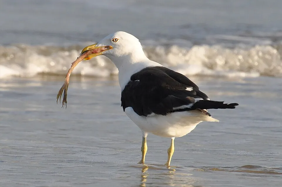
Kelp Gull
Larus dominicanus69 records © Cláudio Dias Timm from Rio Grande do Sul · CC BY-SA 2.0

Observed species
Occurrences documented via GBIF; they are neither an exhaustive inventory nor proof of current presence.
- Rufous-collared Sparrow · Zonotrichia capensis · 72
- Kelp Gull · Larus dominicanus · 69
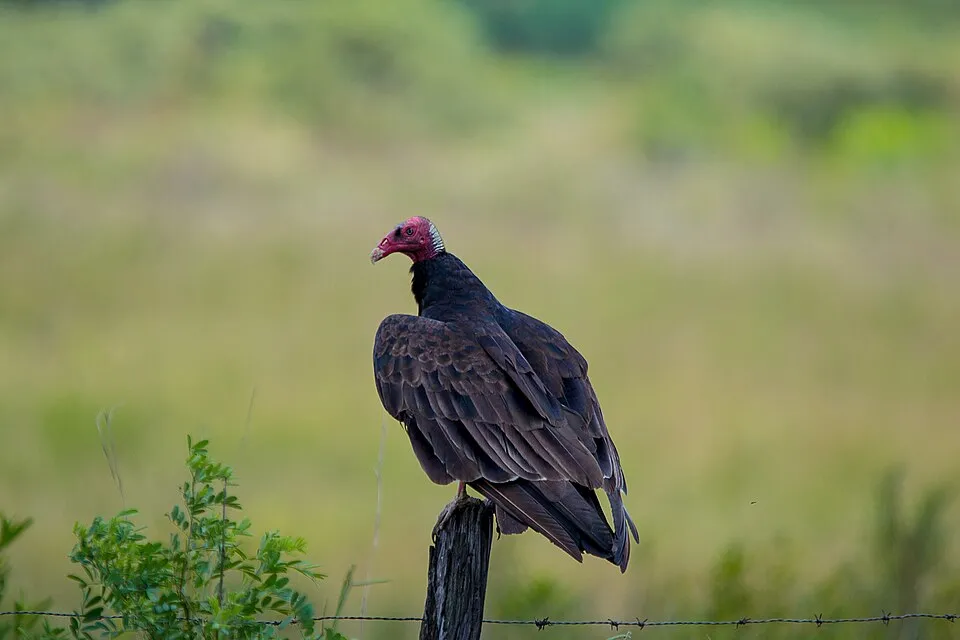
- Turkey Vulture · Cathartes aura · 58
- Patagonian Mockingbird · Mimus patagonicus · 46
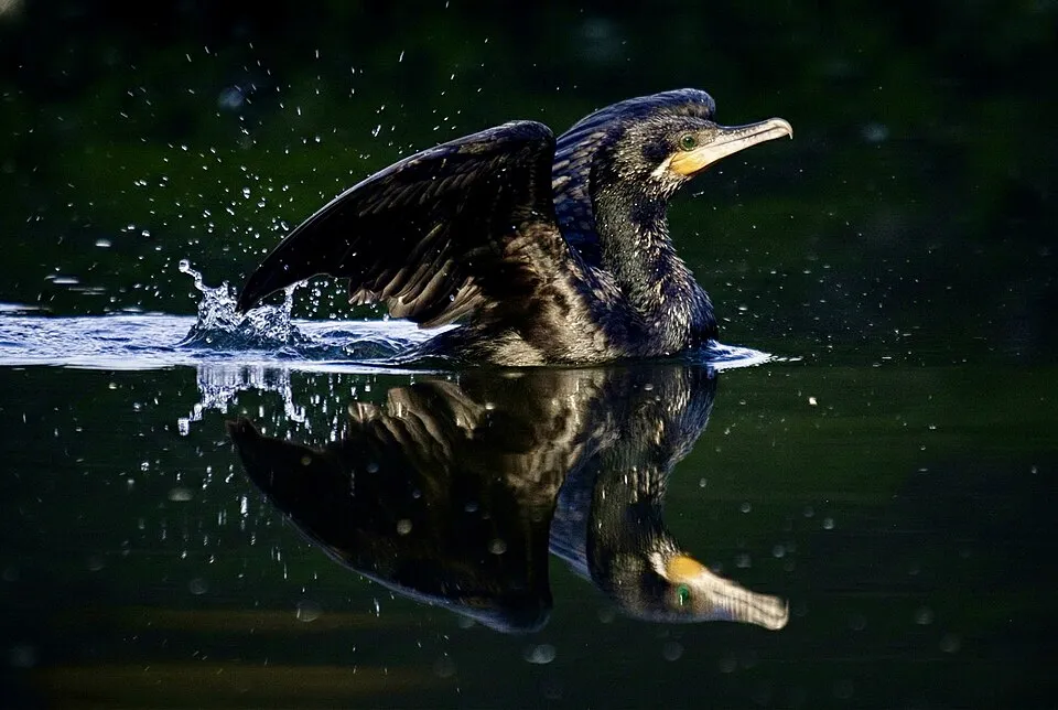
- Neotropic Cormorant · Phalacrocorax brasilianus · 46
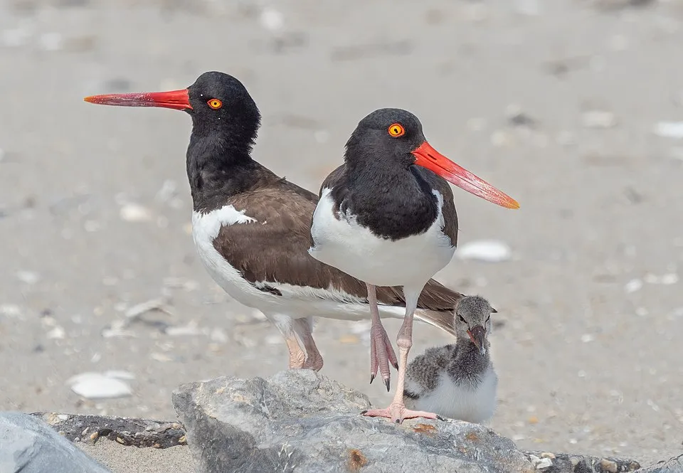
- American Oystercatcher · Haematopus palliatus · 45
- Long-tailed Meadowlark · Sturnella loyca · 37
- Crested Duck · Lophonetta specularioides · 37
- Elegant Crested Tinamou · Eudromia elegans · 37
- Great Egret · Ardea alba · 33
- Southern House Wren · Troglodytes musculus · 31
- Black-crowned night heron · Nycticorax nycticorax · 30
+18 more species
- White-banded Mockingbird · Mimus triurus · 29
- Mourning Sierra Finch · Rhopospina fruticeti · 27
- Naked Green Sea Urchin · Arbacia dufresnii · 26
- Fork-tailed Flycatcher · Tyrannus savana · 26
- Chalk-browed Mockingbird · Mimus saturninus · 26
- Eared Dove · Zenaida auriculata · 25
- Crested Caracara · Caracara plancus · 24
- Blackish Oystercatcher · Haematopus ater · 23
- South American Tern · Sterna hirundinacea · 23
- Burrowing Parrot · Cyanoliseus patagonus · 22
- White-rumped Sandpiper · Calidris fuscicollis · 22
- Black Vulture · Coragyps atratus · 22
- Common Diuca Finch · Diuca diuca · 22
- Cocoi heron · Ardea cocoi · 20
- Greater Yellowlegs · Tringa melanoleuca · 20
- Magellanic Penguin · Spheniscus magellanicus · 20
- Barn Swallow · Hirundo rustica · 20
- Baird's Sandpiper · Calidris bairdii · 19
Records: GBIF.org (CC-BY). Names: Wikidata (CC0), GBIF. Photos: Wikimedia Commons.
Conservation challenges
The primary purpose of the site is to preserve its natural habitats and the biodiversity they support. The species recorded (Biodiversity tab) reflect its ecological value. Its status as a national park sets the regulatory framework for its protection.
At night, the area gives off virtually no artificial light detectable from space (NASA VIIRS Black Marble composite, 2016). Invasive alien species have been recorded within the site since 2000 (GBIF observations). Among them: Passer domesticus (House Sparrow), Thymophylla pentachaeta (Fiveneedle pricklyleaf) and Undaria pinnatifida (Wakame).
Pressure indicators
Light at night
0%
of the area gives off artificial light visible from space
DarkLit
Invasive alien species
3
recorded since 2000
 House Sparrow
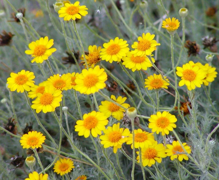 Fiveneedle pricklyleaf
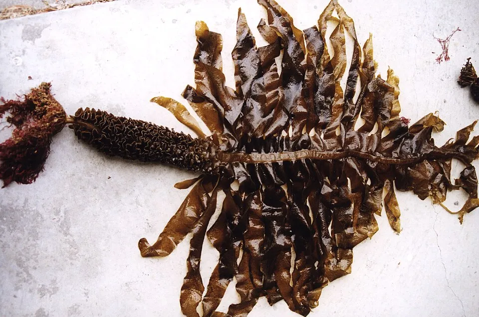 Wakame
Photos: House Sparrow © Diliff · CC BY-SA 3.0; Fiveneedle pricklyleaf © Stan Shebs · CC BY-SA 3.0; Wakame © division, CSIRO · CC BY 3.0
Sources: Global Forest Change (Hansen et al., University of Maryland, via Global Forest Watch, CC-BY 4.0); EFFIS, European Commission / Copernicus; NASA Black Marble 2016 (public domain); CORINE Land Cover 2018 (Copernicus) or MODIS.
Invasive alien species: Global Register of Introduced and Invasive Species (ISSG, CC BY 4.0); Union list, Regulation (EU) 1143/2014 (INBO, CC0); GBIF.org records (CC0 / CC BY 4.0), at least 2 per species.
Practical information
Cities and airport
- Airport: El Tehuelche (PMY)
127 km as the crow flies
Data © OpenStreetMap contributors (ODbL) · Wikidata (CC0)
Access and visiting
Nearest airport: El Tehuelche (PMY), about 127 km away. Fewer than 5,000 people live within 20 km of the site boundary, a very sparsely populated area; the site itself is virtually uninhabited (GHSL estimate, 2020). To plan a visit (access, opening periods, visitor rules), it is best to consult the official information from the managing body and the official website listed in this page's sources.
Source: OpenStreetMap (ODbL), Wikidata (CC0), October 2026.
When to visit
Best time to visit: from September to May, with average temperatures of 11 to 24 °C and moderate rainfall. Day length ranges from about 9 h 12 min in June to 15 h 09 min in December. Wildlife records published on GBIF peak for birds (November) and plants (October). These peaks also reflect when observers are most active.
Source: Copernicus ERA5-Land (C3S), monthly averages 1996–2025 at the representative point, temperatures adjusted for elevation.
Contains modified Copernicus Climate Change Service information 2026. Neither the European Commission nor ECMWF is responsible for any use that may be made of the Copernicus information or data it contains.
Wildlife records calendar
JFMAMJJASOND
Birds
Plants
Monthly records published on GBIF (CC-BY), relative to the busiest month; also reflects observer activity.
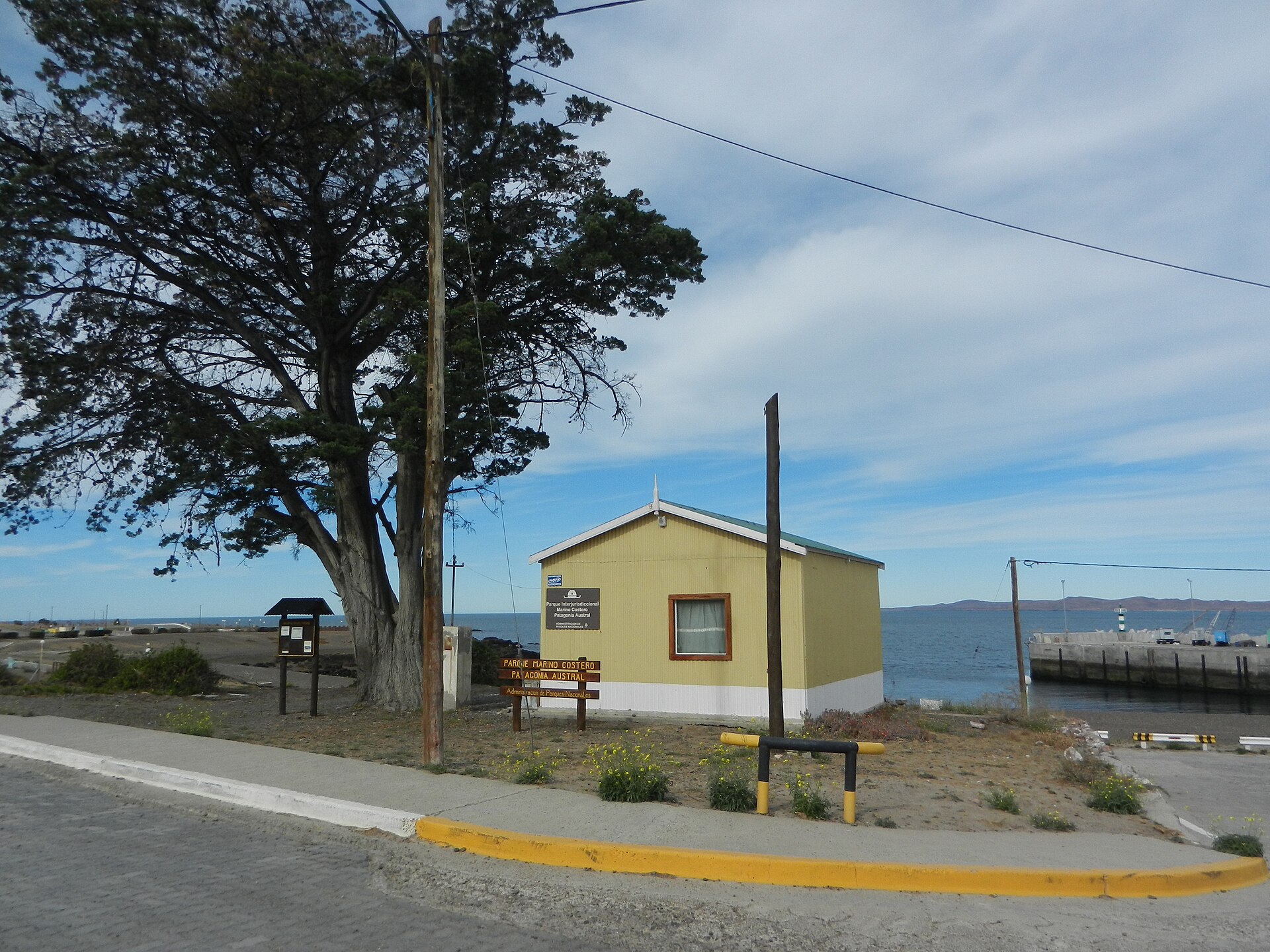
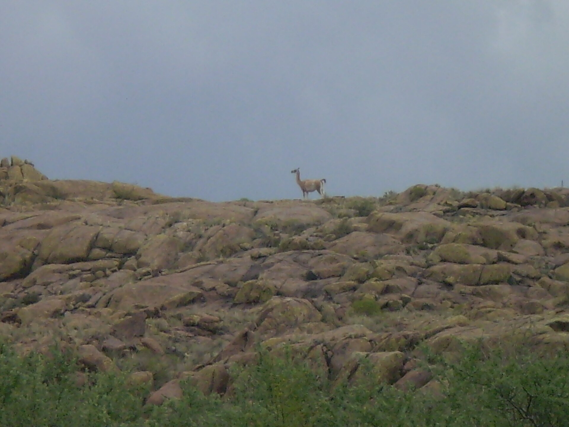
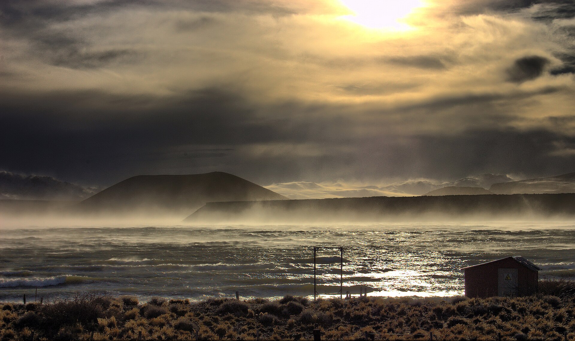
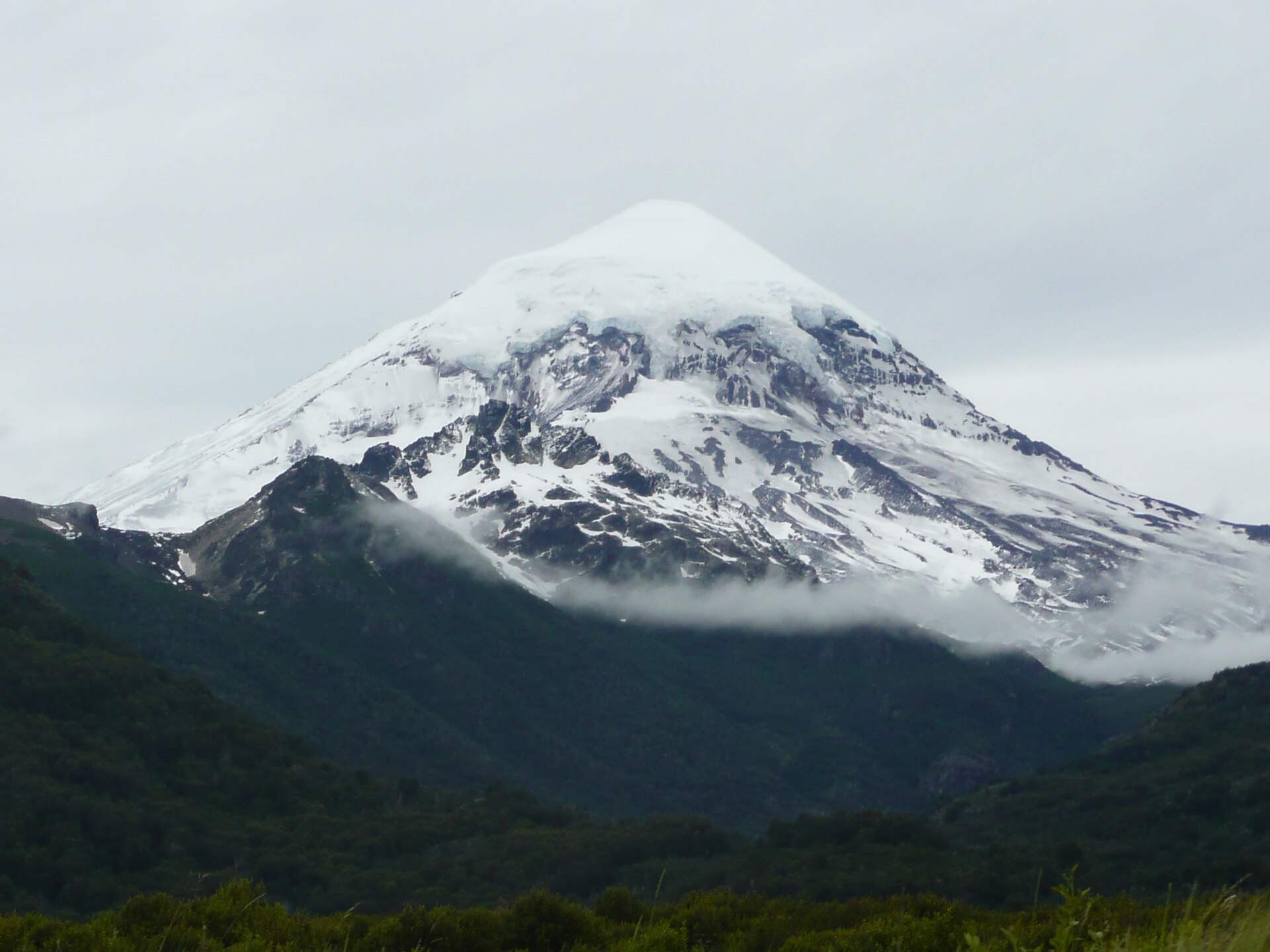
Gallery
© Obtuve la imagen de un sitio web bajo argentina.gob.ar, con licencia Creative Commons By 4.0 · CC BY 4.0
© Gonzalo Bravo · CC BY 4.0
© Fernando Archuby · CC BY-SA 4.0
© Pequeño Gualicho · CC BY 4.0
© Esteban Tazzioli · CC BY 4.0
© Esteban Tazzioli · CC BY 4.0
Sources and licences
- Wikidata: Q24789632
- OpenStreetMap: relation 10885367
- Official website: https://www.argentina.gob.ar/interior/ambiente/parquesnacionales/regionpatagonia/parque-nacional-islote-lobos
- Wikipedia: en.wikipedia.org/wiki/Islote_Lobos_National_Park
- WDPA: 555745324
References
- cds.climate.copernicus.eu: climate · CC-BY-4.0
- registry.opendata.aws: elevation of the reference point, detailed relief · PD
- lpdaac.usgs.gov: land cover · PD
- doi.org: population around the site · CC-BY-4.0
- naturalearthdata.com: sea share · PD
- wikidata.org: official area, establishment date, protected heritage, official name, nearby cities and airport, access and peaks, lake depths, places to see, official website · CC0-1.0
- en.eurovelo.com: EuroVelo cycle routes · ODbL-1.0
- cycling.waymarkedtrails.org: cycle routes · ODbL-1.0
- gebco.net: depths · PD
- opentopodata.org: elevations · PD
- globalforestwatch.org: tree cover loss · CC-BY-4.0
- gbif.org: seasonality of sightings, invasive alien species, observed species · CC-BY-4.0
- earthobservatory.nasa.gov: night light · PD
- openstreetmap.org: access and peaks · ODbL-1.0
- nsidc.org: snow cover · PD
- wikidata.org: Wikipedia article · CC-BY-SA-4.0
Data © OpenStreetMap contributors (ODbL), Wikidata (CC0) and the sources cited.