
Argentina · Terrestrial
Lihué Calel National Park
National park of 32,750 hectares in Argentina, established in 1977.
Overview
National park of 32,750 hectares in Argentina, established in 1977.
Lihué Calel National Park is located in Argentina (South America). It is a predominantly terrestrial area. Established in 1977, it covers about 32,750 hectares.
Frequently asked questions
Where is Lihué Calel National Park?
In Argentina (South America). Representative point: 37.9110° S, 65.5808° W.
How large is Lihué Calel National Park?
About 32,750 hectares (328 km²). It is the 25th largest of the 37 national parks in Argentina covered by Parkavela.
When was Lihué Calel National Park established?
In 1977.
What habitats and landscapes does Lihué Calel National Park include?
A terrestrial area, where land cover is dominated by grassland and meadows (91%).
What is the highest point of Lihué Calel National Park?
Cerro Alto, at 590 m (OpenStreetMap).
When is the best time to visit Lihué Calel National Park?
Best time to visit: from October to April, with average temperatures of 15 to 26 °C and moderate rainfall.
What is the nearest airport to Lihué Calel National Park?
Nearest airport: Presidente Perón (NQN), about 236 km away.
Where can I get visitor information on site?
Oficina Guardaparque.
Which species can be seen in Lihué Calel National Park?
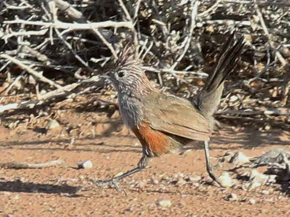
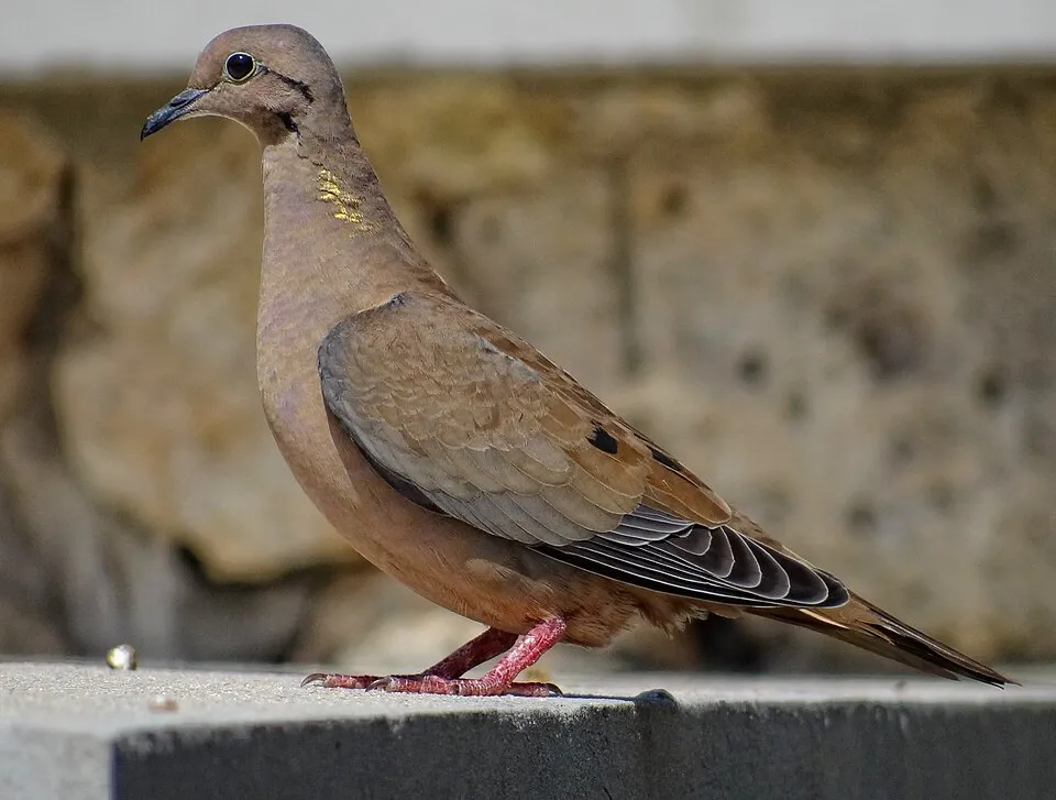
Among the species most often recorded on GBIF are Zonotrichia capensis (Rufous-collared Sparrow), Rhinocrypta lanceolata (Crested Gallito), Zenaida auriculata (Eared Dove) and Mimus saturninus (Chalk-browed Mockingbird).
© OpenStreetMap
Download the boundary: GeoJSON · GPX Boundary © OpenStreetMap contributors (ODbL).
Geography
The representative point of the site lies at around 275 m above sea level. Over the 1996–2025 period, the mean annual temperature is about 16.4 °C and total precipitation reaches roughly 459 mm per year. The warmest month is usually January, the coolest July, and the wettest March.
Area
- Area of the boundary
- 32,750 ha
- Elevation
- 275 m
- Median elevation
- 257 m
- Coordinates
- -37.911, -65.5808
Terrain: Mapzen Terrain Tiles (SRTM, USGS)
Climate
● Mean temperature (°C) · ▮ Precipitation (mm)
Source: Copernicus ERA5-Land (C3S, doi:10.24381/cds.68d2bb30), monthly averages 1996–2025 interpolated to the representative point, temperatures adjusted for elevation.
Contains modified Copernicus Climate Change Service information 2026. Neither the European Commission nor ECMWF is responsible for any use that may be made of the Copernicus information or data it contains.
Natural habitats
According to the global MODIS land cover (NASA, 2024), the site is mainly made up of grassland and meadows (91%). Elevation ranges from about 220 m to 590 m (highest point: Cerro Alto).
Biodiversity
Based on occurrences aggregated by GBIF, several species are regularly recorded within the site. Among the most frequent are Zonotrichia capensis (Rufous-collared Sparrow), Rhinocrypta lanceolata (Crested Gallito), Zenaida auriculata (Eared Dove) and Mimus saturninus (Chalk-browed Mockingbird). The full list of documented taxa is shown below.
Species to look out for
Bird
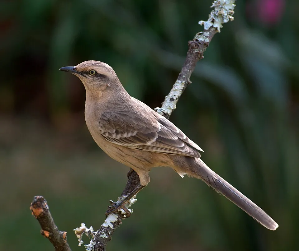
Chalk-browed Mockingbird
Mimus saturninus401 records © Dario Sanches from São Paulo, Brazil · CC BY-SA 2.0
Bird
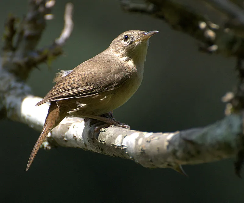
Southern House Wren
Troglodytes musculus394 records © Dario Sanches from SÃO PAULO, BRASIL · CC BY-SA 2.0
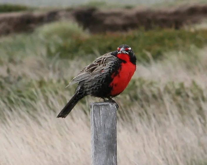
Bird
Long-tailed Meadowlark
Sturnella loyca373 records © Flickr user Alastair Rae . Photo · CC BY-SA 2.0
Observed species
Occurrences documented via GBIF; they are neither an exhaustive inventory nor proof of current presence.
- Rufous-collared Sparrow · Zonotrichia capensis · 494
- Crested Gallito · Rhinocrypta lanceolata · 464
- Eared Dove · Zenaida auriculata · 417
- Chalk-browed Mockingbird · Mimus saturninus · 401
- Southern House Wren · Troglodytes musculus · 394
- Long-tailed Meadowlark · Sturnella loyca · 373
- Spot-winged Pigeon · Patagioenas maculosa · 364
- Turkey Vulture · Cathartes aura · 358
- Hooded Siskin · Spinus magellanicus · 316
- Crested Caracara · Caracara plancus · 315
- Chaco Earthcreeper · Upucerthia certhioides · 294
- White-tipped Plantcutter · Phytotoma rutila · 288
+18 more species
- Brown Cacholote · Pseudoseisura lophotes · 273
- Grassland Yellow Finch · Sicalis luteola · 272
- Chiguanco Thrush · Turdus chiguanco · 260
- Band-tailed Seedeater · Catamenia analis · 253
- Elegant Crested Tinamou · Eudromia elegans · 251
- Pampa Finch · Embernagra platensis · 243
- Patagonian Mockingbird · Mimus patagonicus · 238
- Variable Hawk · Buteo polyosoma · 230
- Green-barred Woodpecker · Colaptes melanochloros · 221
- Blue-and-yellow Tanager · Rauenia bonariensis · 218
- Tufted Tit-Tyrant · Anairetes parulus · 214
- Blue-crowned Parakeet · Aratinga acuticaudata · 210
- White-winged Black Tyrant · Knipolegus aterrimus · 210
- Stripe-crowned Spinetail · Cranioleuca pyrrhophia · 195
- Greyish Baywing · Agelaioides badius · 193
- Mourning Sierra Finch · Rhopospina fruticeti · 191
- Great Kiskadee · Pitangus sulphuratus · 188
- Black Vulture · Coragyps atratus · 182
Records: GBIF.org (CC-BY). Names: Wikidata (CC0), GBIF. Photos: Wikimedia Commons.
Conservation challenges
The primary purpose of the site is to preserve its natural habitats and the biodiversity they support. The species recorded (Biodiversity tab) reflect its ecological value. Its status as a national park sets the regulatory framework for its protection.
At night, the area gives off virtually no artificial light detectable from space (NASA VIIRS Black Marble composite, 2016). Since 2000, 8 invasive alien species have been recorded within the site (GBIF observations). Among them: Passer domesticus (House Sparrow), Columba livia (Rock Dove) and Thymophylla pentachaeta (Fiveneedle pricklyleaf).
Pressure indicators
Light at night
0%
of the area gives off artificial light visible from space
DarkLit
Invasive alien species
8
recorded since 2000
 House Sparrow
 Rock Dove
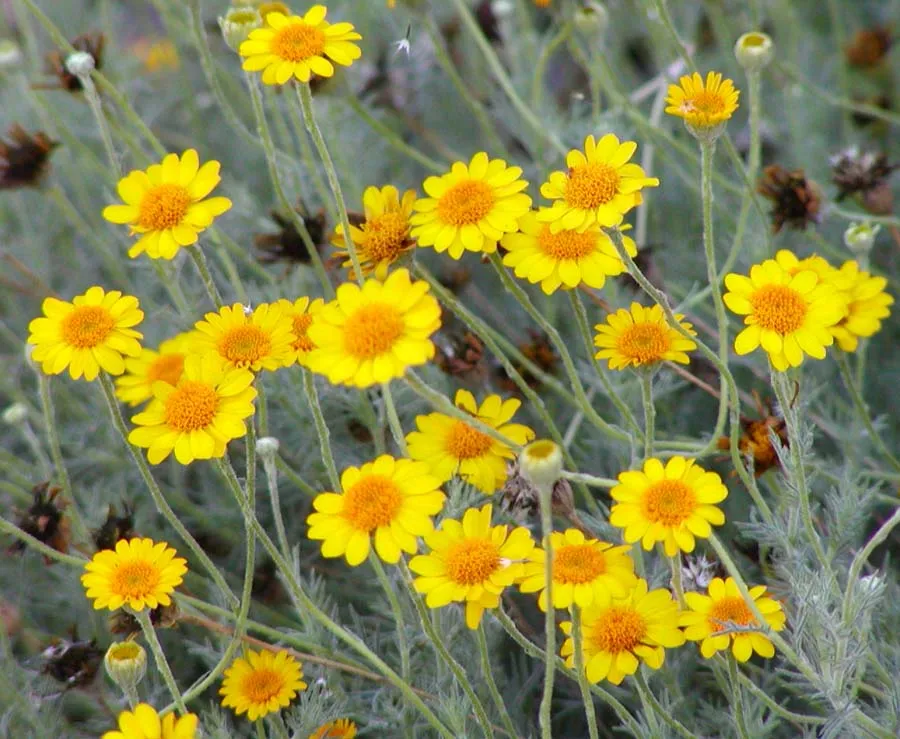 Fiveneedle pricklyleaf
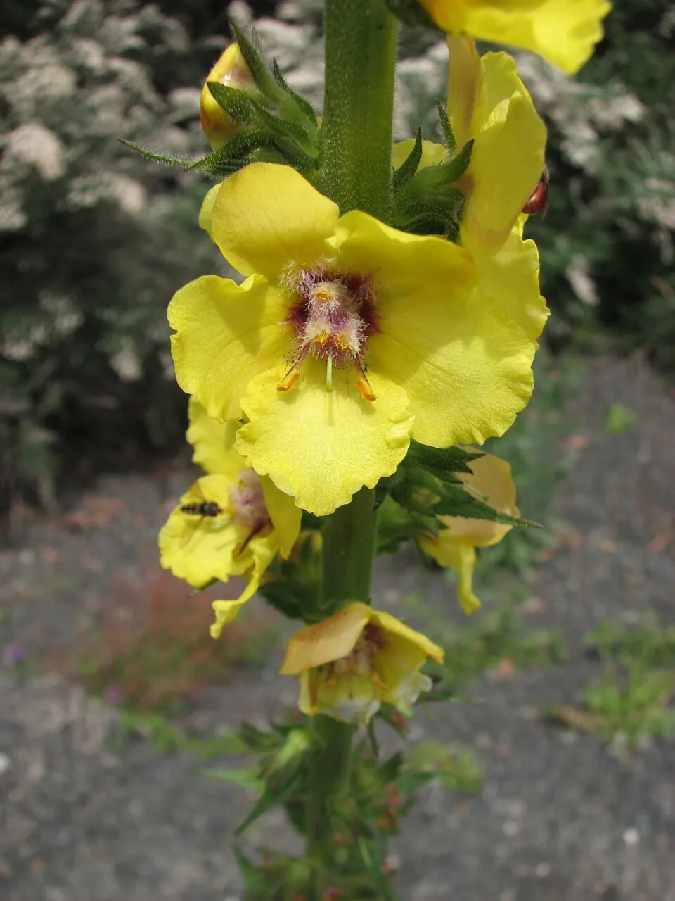 Twiggy Mullein
 Perennial Wall-rocket
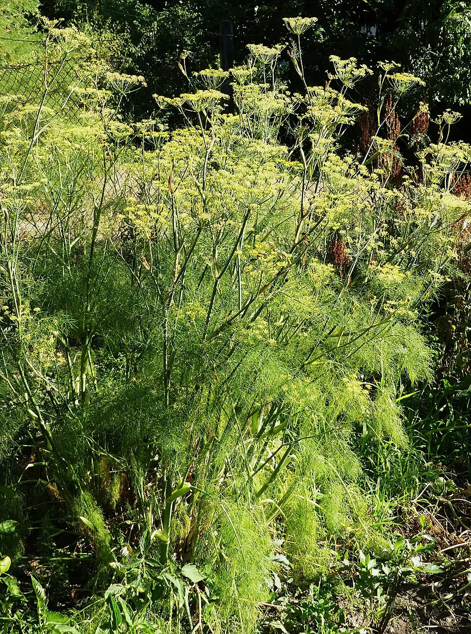 Fennel
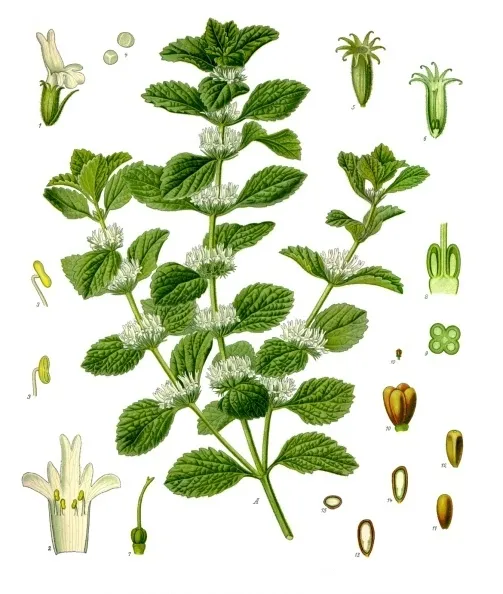 White horehound
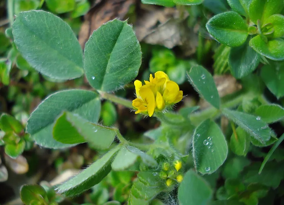 Bur medick
Photos: House Sparrow © Diliff · CC BY-SA 3.0; Rock Dove © william_stephens · CC BY 4.0; Fiveneedle pricklyleaf © Stan Shebs · CC BY-SA 3.0; Twiggy Mullein © Melburnian · CC BY 3.0; Perennial Wall-rocket © TeunSpaans · CC BY-SA 3.0; Fennel © Elekes Andor · CC BY 4.0; White horehound © Franz Eugen Köhler, Köhler's Medizinal-Pflanzen · Public domain; Bur medick © Fornax · CC BY-SA 3.0
Sources: Global Forest Change (Hansen et al., University of Maryland, via Global Forest Watch, CC-BY 4.0); EFFIS, European Commission / Copernicus; NASA Black Marble 2016 (public domain); CORINE Land Cover 2018 (Copernicus) or MODIS.
Invasive alien species: Global Register of Introduced and Invasive Species (ISSG, CC BY 4.0); Union list, Regulation (EU) 1143/2014 (INBO, CC0); GBIF.org records (CC0 / CC BY 4.0), at least 2 per species.
Practical information
Cities and airport
- Airport: Presidente Perón (NQN)
236 km as the crow flies
Visitor information
- Oficina Guardaparque
within the site
Parking
2 public car parks listed within the site
Data © OpenStreetMap contributors (ODbL) · Wikidata (CC0)
Access and visiting
Nearest airport: Presidente Perón (NQN), about 236 km away. Fewer than 5,000 people live within 20 km of the site boundary, a very sparsely populated area; the site itself is virtually uninhabited (GHSL estimate, 2020). Visitor information on site: Oficina Guardaparque. Public car parks listed within the site: 2. To plan a visit (access, opening periods, visitor rules), it is best to consult the official information from the managing body and the official website listed in this page's sources.
Source: OpenStreetMap (ODbL), Wikidata (CC0), October 2026.
When to visit
Best time to visit: from October to April, with average temperatures of 15 to 26 °C and moderate rainfall. Day length ranges from about 9 h 33 min in June to 14 h 47 min in December. Wildlife records published on GBIF peak for birds (January) and mammals (December and January). These peaks also reflect when observers are most active.
Source: Copernicus ERA5-Land (C3S), monthly averages 1996–2025 at the representative point, temperatures adjusted for elevation.
Contains modified Copernicus Climate Change Service information 2026. Neither the European Commission nor ECMWF is responsible for any use that may be made of the Copernicus information or data it contains.
Wildlife records calendar
JFMAMJJASOND
Birds
Plants
Mammals
Monthly records published on GBIF (CC-BY), relative to the busiest month; also reflects observer activity.
Gallery
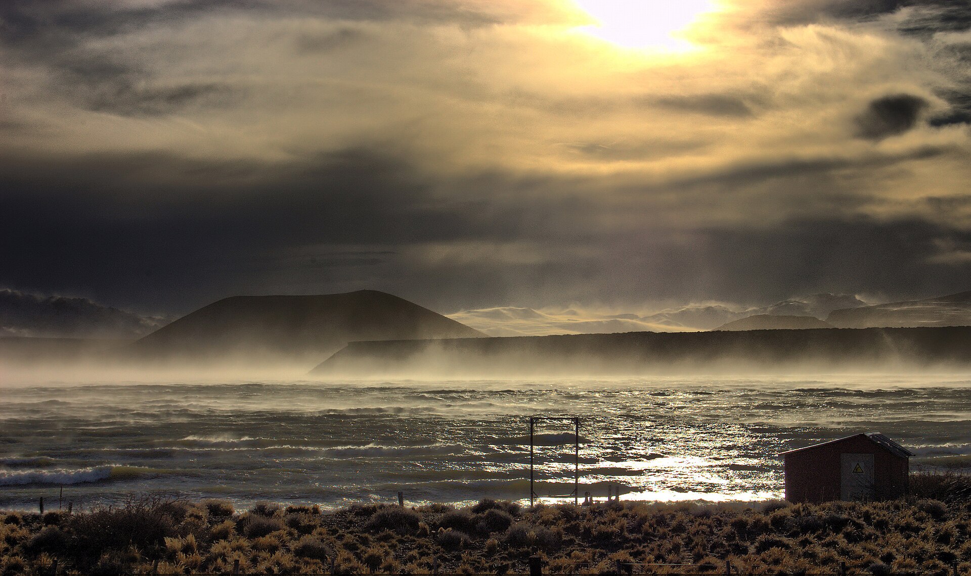
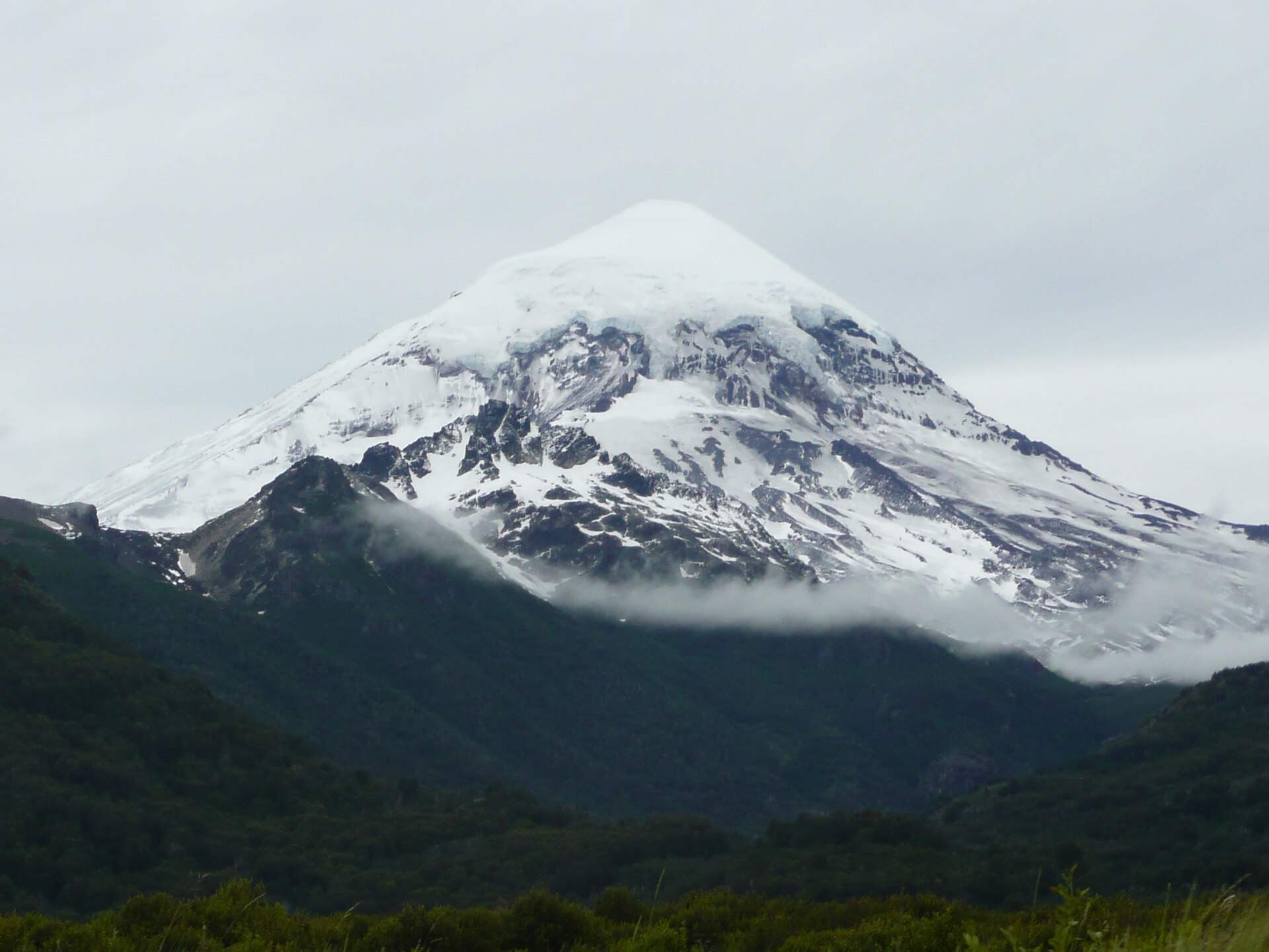
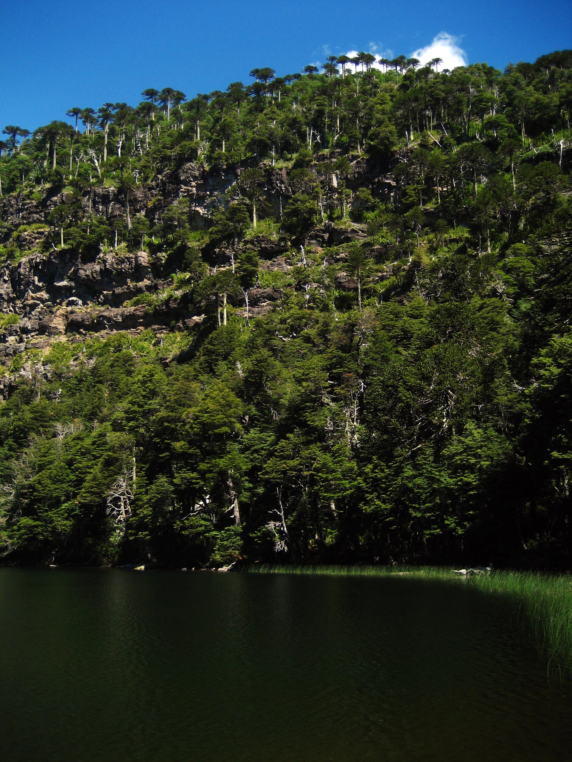
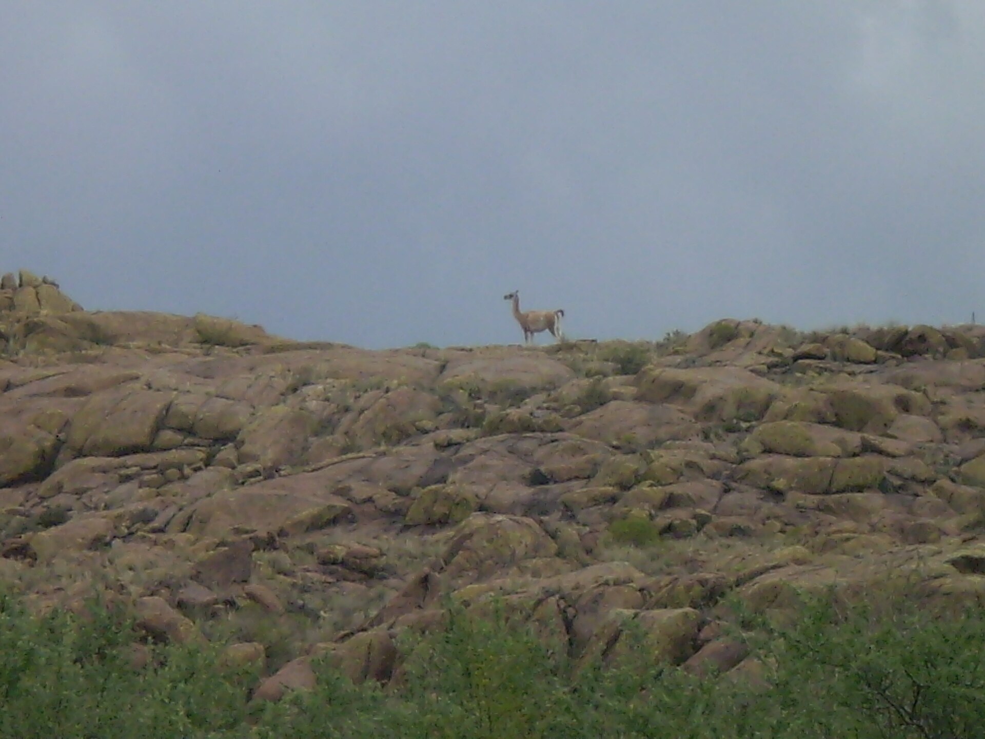
© Claudio Elias · Public domain
© Claudio Elias · Public domain
© Hardscarf · CC BY-SA 4.0
© Horacio_Fernandez · CC BY 3.0
© Diegoarielvega · CC BY-SA 4.0
© Diegoarielvega · CC BY-SA 4.0
Sources and licences
- Wikidata: Q829228
- OpenStreetMap: relation 10325660
- Wikipedia: en.wikipedia.org/wiki/Lihué_Calel_National_Park
- WDPA: 20
References
- cds.climate.copernicus.eu: climate · CC-BY-4.0
- registry.opendata.aws: elevation of the reference point, detailed relief · PD
- lpdaac.usgs.gov: land cover · PD
- doi.org: population around the site · CC-BY-4.0
- naturalearthdata.com: sea share · PD
- openstreetmap.org: official name, access and peaks, trail difficulty · ODbL-1.0
- wikidata.org: establishment date, protected heritage, nearby cities and airport, access and peaks, lake depths, places to see · CC0-1.0
- en.eurovelo.com: EuroVelo cycle routes · ODbL-1.0
- cycling.waymarkedtrails.org: cycle routes · ODbL-1.0
- opentopodata.org: elevations · PD
- globalforestwatch.org: tree cover loss · CC-BY-4.0
- gbif.org: seasonality of sightings, invasive alien species, observed species · CC-BY-4.0
- earthobservatory.nasa.gov: night light · PD
- nsidc.org: snow cover · PD
- wikidata.org: Wikipedia article · CC-BY-SA-4.0
Data © OpenStreetMap contributors (ODbL), Wikidata (CC0) and the sources cited.