Australia · Terrestrial
Karijini National Park
National park of 624,428 hectares in Australia, established in 1973.
Overview
National park of 624,428 hectares in Australia, established in 1973.
Karijini National Park is located in Australia (Oceania). It is a predominantly terrestrial area. Established in 1973, it covers about 624,428 hectares. The site is managed by Department of Parks and Wildlife.
In our collections
Frequently asked questions
Where is Karijini National Park?
In Australia (Oceania). Representative point: 22.2506° S, 117.9760° E.
How large is Karijini National Park?
About 624,428 hectares (6,244 km²). It is the 13th largest of the 678 national parks in Australia covered by Parkavela.
When was Karijini National Park established?
In 1973.
What habitats and landscapes does Karijini National Park include?
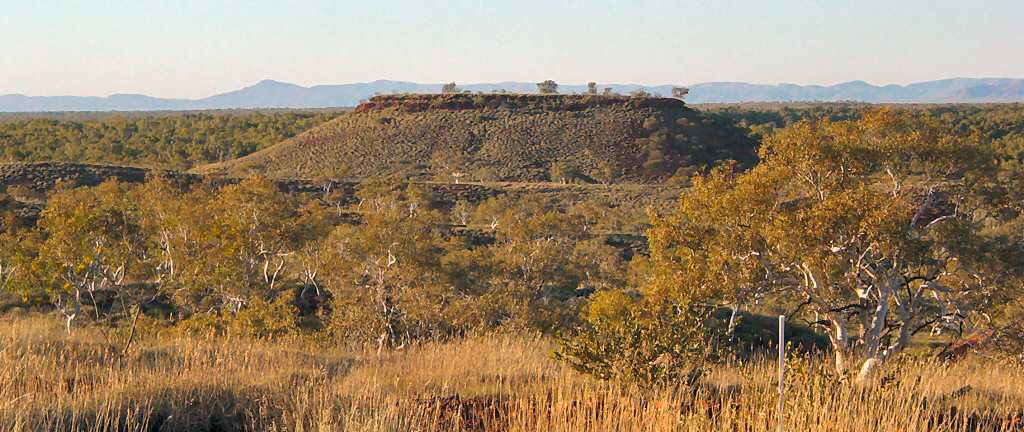
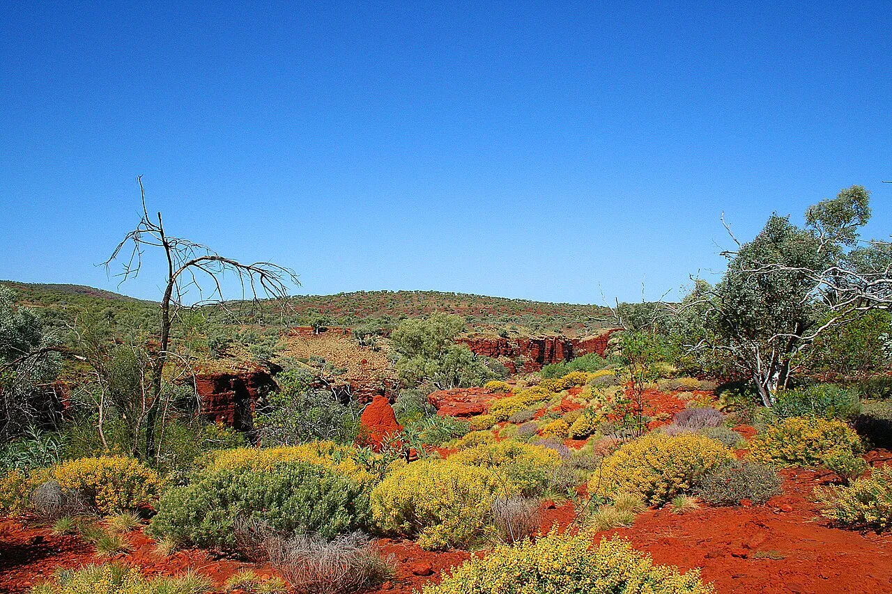
A terrestrial area, with mountains.
What is the highest point of Karijini National Park?
Mount Meharry, at 1,250 m (OpenStreetMap).
What are the main summits of Karijini National Park?
Mount Meharry (1,250 m), Mount Bruce (1,235 m), Mount Frederick (1,235 m), Mount McLeod (1,205 m) and Mount Stevenson (1,172 m) (OpenStreetMap).
When is the best time to visit Karijini National Park?
Mildest period: from November to February, with average temperatures of 29 to 32 °C.
What is there to see in Karijini National Park?
3 waterfalls, including Joffre Falls (685 m), Fortescue Falls (638 m) and Gordon Falls (641 m) (Wikidata).
What is the nearest airport to Karijini National Park?
Nearest airport: Paraburdoo (PBO), about 26 km away.
Where can I get visitor information on site?
Karijini Visitor Centre.
Which species can be seen in Karijini National Park?
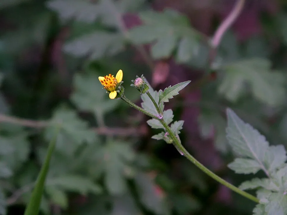
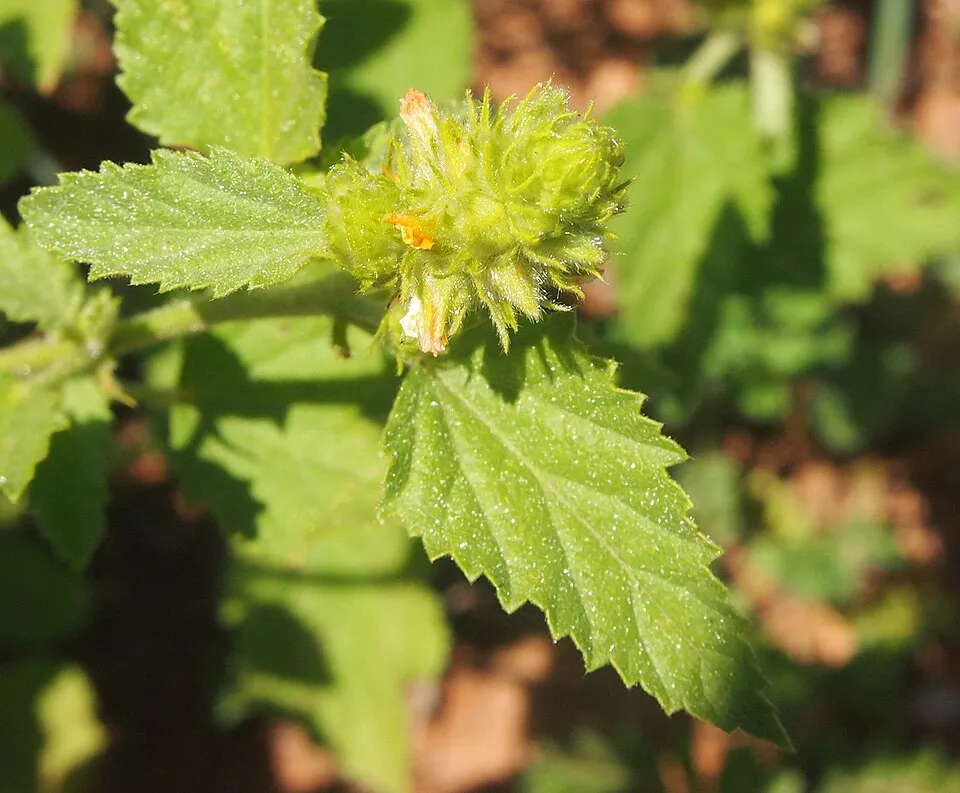
Among the species most often recorded on GBIF are Bidens bipinnata (Spanish needles), Senna glutinosa (Sticky Acacia), Malvastrum americanum (Indian Valley false mallow) and Themeda triandra (Kangaroo grass).
Who manages Karijini National Park?
Department of Parks and Wildlife.
What is the official website of Karijini National Park?
© OpenStreetMap
Download the boundary: GeoJSON · GPX Boundary © OpenStreetMap contributors (ODbL).
Geography
The representative point of the site lies at around 655 m above sea level. Over the 1996–2025 period, the mean annual temperature is about 24.8 °C and total precipitation reaches roughly 311 mm per year. The warmest month is usually December, the coolest July, and the wettest January.
Area
- Area
- 624,428 ha
- Elevation
- 655 m
- Median elevation
- 718 m
- Coordinates
- -22.2506, 117.976
Terrain: Mapzen Terrain Tiles (SRTM, USGS)
Main summits
- Mount Meharry1,250 m
- Mount Bruce1,235 m
- Mount Frederick1,235 m
- Mount McLeod1,205 m
- Mount Stevenson1,172 m
- Mount Vigors1,161 m
- Mount Bennett1,087 m
- Mount Barricade1,083 m
- Mount King1,031 m
Data © OpenStreetMap contributors (ODbL)
Climate
● Mean temperature (°C) · ▮ Precipitation (mm)
Source: Copernicus ERA5-Land (C3S, doi:10.24381/cds.68d2bb30), monthly averages 1996–2025 interpolated to the representative point, temperatures adjusted for elevation.
Contains modified Copernicus Climate Change Service information 2026. Neither the European Commission nor ECMWF is responsible for any use that may be made of the Copernicus information or data it contains.
Natural habitats
According to the global MODIS land cover (NASA, 2024), the site is mainly made up of heath and scrub (99%). Elevation ranges from about 470 m to 1,250 m (highest point: Mount Meharry). Median elevation is 718 m, and 97% of the site lies above 500 m (SRTM elevation model).
Biodiversity
Based on occurrences aggregated by GBIF, several species are regularly recorded within the site. Among the most frequent are Bidens bipinnata (Spanish needles), Senna glutinosa (Sticky Acacia), Malvastrum americanum (Indian Valley false mallow) and Themeda triandra (Kangaroo grass). The full list of documented taxa is shown below.
Species to look out for



Observed species
Occurrences documented via GBIF; they are neither an exhaustive inventory nor proof of current presence.
- Spanish needles · Bidens bipinnata · 2573
- Sticky Acacia · Senna glutinosa · 1432
- Indian Valley false mallow · Malvastrum americanum · 1430
- Sida spec · 1404
- Kangaroo grass · Themeda triandra · 1273
- Snappy Gum · Eucalyptus leucophloia · 1202
- Flannelbush · Solanum lasiophyllum · 1188
- Silver senna · Senna artemisioides · 1053
- Western Gidgee · Acacia pruinocarpa · 1041
- Prince-of-Wales-feather · Ptilotus obovatus · 1037
- Weebill · Smicrornis brevirostris · 1010
- Gummy spinifex · Triodia pungens · 989
+18 more species
- Bunch kerosene grass · Aristida contorta · 964
- Triodia wiseana · 914
- Slender mulga · Acacia aptaneura · 901
- Two-nerved wattle · Acacia bivenosa · 862
- Lemon Grass · Cymbopogon ambiguus · 843
- Duperreya commixta · 834
- Mountain wanderrie grass · Eriachne mucronata · 816
- Buffel grass · Cenchrus ciliaris · 787
- Bell-fruit-tree · Codonocarpus cotinifolius · 771
- Maitland's Wattle · Acacia maitlandii · 765
- Feather-veined Wattle · Acacia dictyophleba · 751
- Leafy nineawn · Enneapogon polyphyllus · 750
- Torresian Crow · Corvus orru · 728
- Northern Mulga Grass · Neurachne muelleri · 715
- Willie Wagtail · Rhipidura leucophrys · 710
- Pink Mulla Mulla · Ptilotus exaltatus · 706
- Gossypium robinsonii · 697
- Weeping mulla mulla · Ptilotus calostachyus · 689
Records: GBIF.org (CC-BY). Names: Wikidata (CC0), GBIF. Photos: Wikimedia Commons.
Conservation challenges
The primary purpose of the site is to preserve its natural habitats and the biodiversity they support. The species recorded (Biodiversity tab) reflect its ecological value. Its status as a national park sets the regulatory framework for its protection.
At night, the area gives off virtually no artificial light detectable from space (NASA VIIRS Black Marble composite, 2016). Since 2000, 16 invasive alien species have been recorded within the site (GBIF observations). Among them: Vachellia farnesiana (Sweet acacia), Dichanthium sericeum (Silky bluestem) and Dysphania glomulifera (Australian Pigweed).
Pressure indicators
Light at night
< 1%
of the area gives off artificial light visible from space
DarkLit
Invasive alien species
16
recorded since 2000
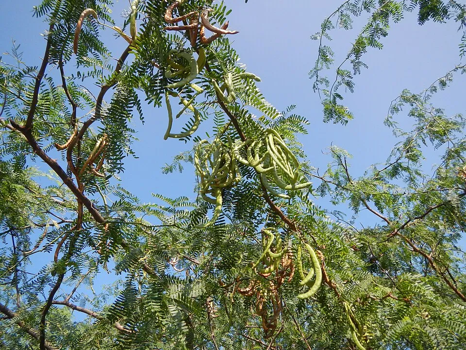 Sweet acacia
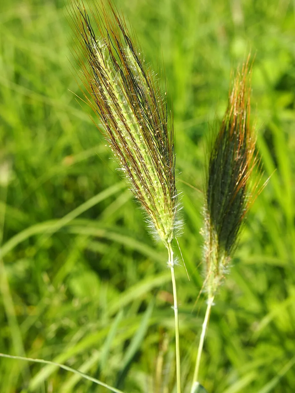 Silky bluestem
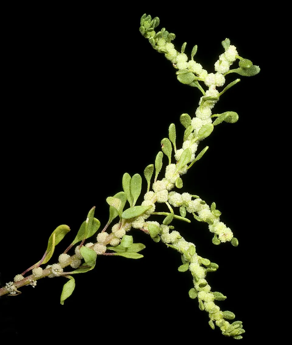 Australian Pigweed
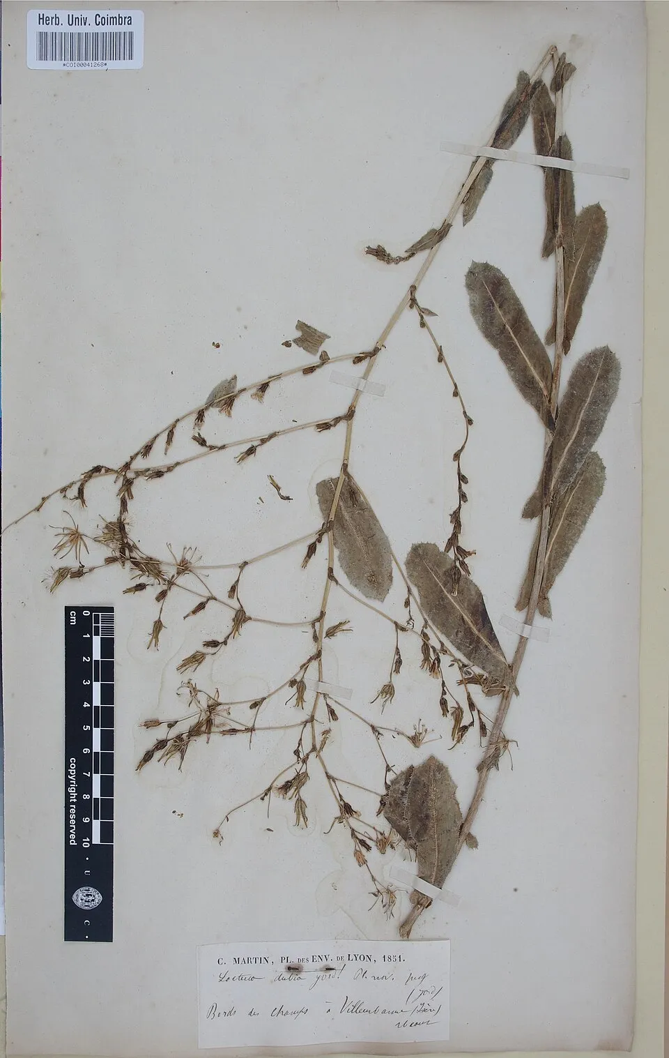 Prickly lettuce
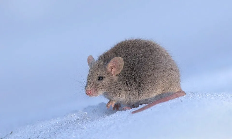 House mouse
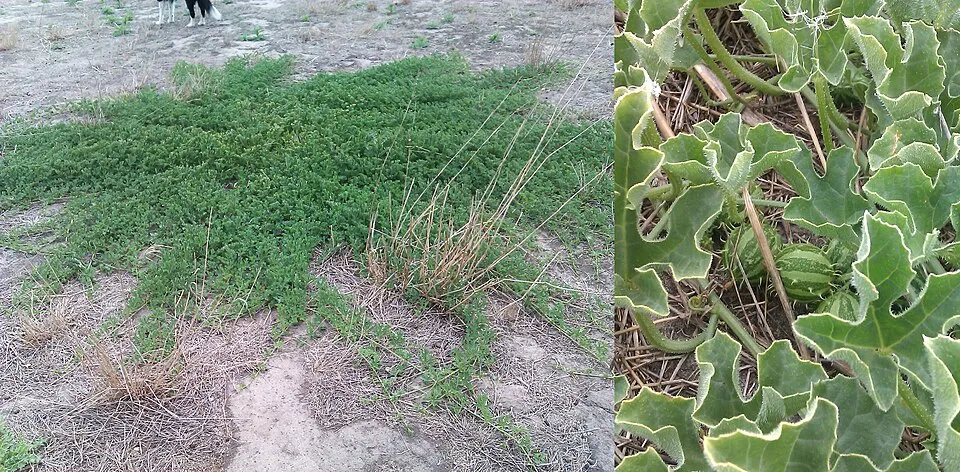 Gooseberry gourd
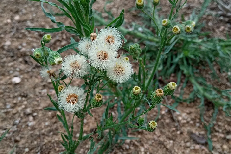 Argentine fleabane
 Bermudagrass
Photos: Sweet acacia © Judgefloro · Public domain; Silky bluestem © Mark Marathon · CC BY-SA 4.0; Australian Pigweed © Kevin Thiele from Perth, Australia · CC BY 2.0; Prickly lettuce © Herbarium of the University of Coimbra (COI) · CC BY 4.0; House mouse © Dion Art · CC BY-SA 4.0; Gooseberry gourd © Golden-elm · CC0-1.0; Argentine fleabane © Josep Gesti · CC BY-SA 4.0; Bermudagrass © Stefan.lefnaer · CC BY-SA 4.0
Sources: Global Forest Change (Hansen et al., University of Maryland, via Global Forest Watch, CC-BY 4.0); EFFIS, European Commission / Copernicus; NASA Black Marble 2016 (public domain); CORINE Land Cover 2018 (Copernicus) or MODIS.
Invasive alien species: Global Register of Introduced and Invasive Species (ISSG, CC BY 4.0); Union list, Regulation (EU) 1143/2014 (INBO, CC0); GBIF.org records (CC0 / CC BY 4.0), at least 2 per species.
Practical information
Cities and airport
- Airport: Paraburdoo (PBO)
26 km as the crow flies
Visitor information
- Karijini Visitor Centre
within the site
Parking
16 public car parks listed within the site
Hammersley Gorge Turnoff - Karijini NPFortescue Falls CarparkWeano Recreation Area
Things to see
3 waterfalls
- Joffre Falls
waterfall · 685 m - Fortescue Falls
waterfall · 638 m - Gordon Falls
waterfall · 641 m
Data © OpenStreetMap contributors (ODbL) · Wikidata (CC0)
Access and visiting
Nearest airport: Paraburdoo (PBO), about 26 km away. About 7,600 people live within 20 km of the site boundary, 610 of them within 10 km; some 130 people are estimated to live inside (GHSL estimate, 2020). Visitor information on site: Karijini Visitor Centre. Public car parks listed within the site: 16, including Hammersley Gorge Turnoff - Karijini NP, Fortescue Falls Carpark and Weano Recreation Area. To see: 3 waterfalls, including Joffre Falls (685 m), Fortescue Falls (638 m) and Gordon Falls (641 m). To plan a visit (access, opening periods, visitor rules), it is best to consult the official information from the managing body (Department of Parks and Wildlife) and the official website listed in this page's sources.
Source: OpenStreetMap (ODbL), Wikidata (CC0), November 2026.
When to visit
Mildest period: from November to February, with average temperatures of 29 to 32 °C. Precipitation peaks in January and February (up to 70 mm per month). Day length ranges from about 10 h 47 min in June to 13 h 29 min in December. Wildlife records published on GBIF peak for birds (from July to September), plants (August), butterflies and moths (April and May), dragonflies (April and May) and mammals (May). These peaks also reflect when observers are most active.
Source: Copernicus ERA5-Land (C3S), monthly averages 1996–2025 at the representative point, temperatures adjusted for elevation.
Contains modified Copernicus Climate Change Service information 2026. Neither the European Commission nor ECMWF is responsible for any use that may be made of the Copernicus information or data it contains.
Wildlife records calendar
JFMAMJJASOND
Birds
Plants
Butterflies & moths
Dragonflies
Mammals
Monthly records published on GBIF (CC-BY), relative to the busiest month; also reflects observer activity.
Gallery
© Bäras · CC BY-SA 3.0
© Toby Hudson · CC BY-SA 4.0
© Copyright Fredrik Bülow. (Western Australia) · CC BY-SA 3.0
© Bjørn Christian Tørrissen · CC BY-SA 3.0
© Hesperian · CC BY-SA 3.0
© (c) Bruce Edley, some rights reserved (CC BY) · CC BY 4.0
Sources and licences
- Wikidata: Q1729357
- OpenStreetMap: relation 6930316
- Official website: http://parks.dpaw.wa.gov.au/park/karijini
- Wikipedia: en.wikipedia.org/wiki/Karijini_National_Park
- WDPA: 64113
References
- cds.climate.copernicus.eu: climate · CC-BY-4.0
- registry.opendata.aws: elevation of the reference point, detailed relief · PD
- lpdaac.usgs.gov: land cover · PD
- doi.org: population around the site · CC-BY-4.0
- naturalearthdata.com: sea share · PD
- wikidata.org: official area, highest point, establishment date, protected heritage, managing body, official name, nearby cities and airport, access and peaks, lake depths, places to see, official website · CC0-1.0
- en.eurovelo.com: EuroVelo cycle routes · ODbL-1.0
- cycling.waymarkedtrails.org: cycle routes · ODbL-1.0
- opentopodata.org: elevations · PD
- globalforestwatch.org: tree cover loss · CC-BY-4.0
- gbif.org: seasonality of sightings, invasive alien species, observed species · CC-BY-4.0
- earthobservatory.nasa.gov: night light · PD
- openstreetmap.org: access and peaks · ODbL-1.0
- nsidc.org: snow cover · PD
- wikidata.org: Wikipedia article · CC-BY-SA-4.0
Data © OpenStreetMap contributors (ODbL), Wikidata (CC0) and the sources cited.