Poland · Terrestrial
Krzczonów Landscape Park
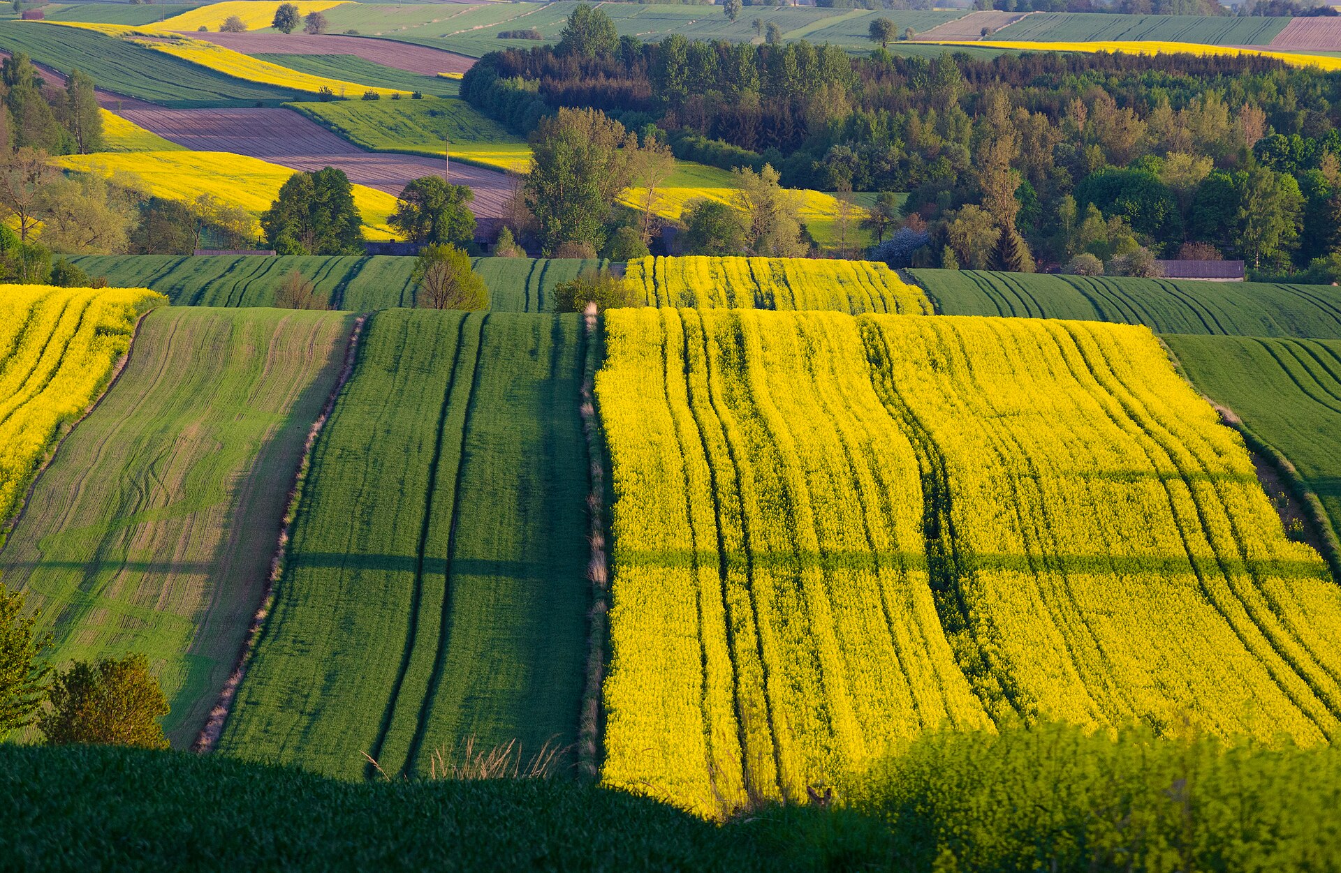
Landscape park of 12,421 hectares in Poland, established in 1990.
Overview
Landscape park of 12,421 hectares in Poland, established in 1990.
Krzczonów Landscape Park is located in Poland (Europe). It is a predominantly terrestrial area. Established in 1990, it covers about 12,421 hectares.
Protections and designations
Protected as a landscape park. International labels and designations: Natura 2000 network (2 sites). Key dates: established in 1990 and first Natura 2000 site under the Habitats Directive in 2008.
In our collections
Timeline
-
1990
Established
-
2008
First Natura 2000 site under the Habitats Directive 2 such sites designated up to 2008
Sources: Wikidata (CC0) for establishment and international labels; EEA Natura 2000 database (CC-BY 4.0) for site designation dates.
Frequently asked questions
Where is Krzczonów Landscape Park?
In Poland (Europe). Representative point: 51.0244° N, 22.7633° E.
How large is Krzczonów Landscape Park?
About 12,421 hectares (124 km²). It is the 78th largest of the 121 landscape parks in Poland covered by Parkavela.
When was Krzczonów Landscape Park established?
In 1990.
What habitats and landscapes does Krzczonów Landscape Park include?
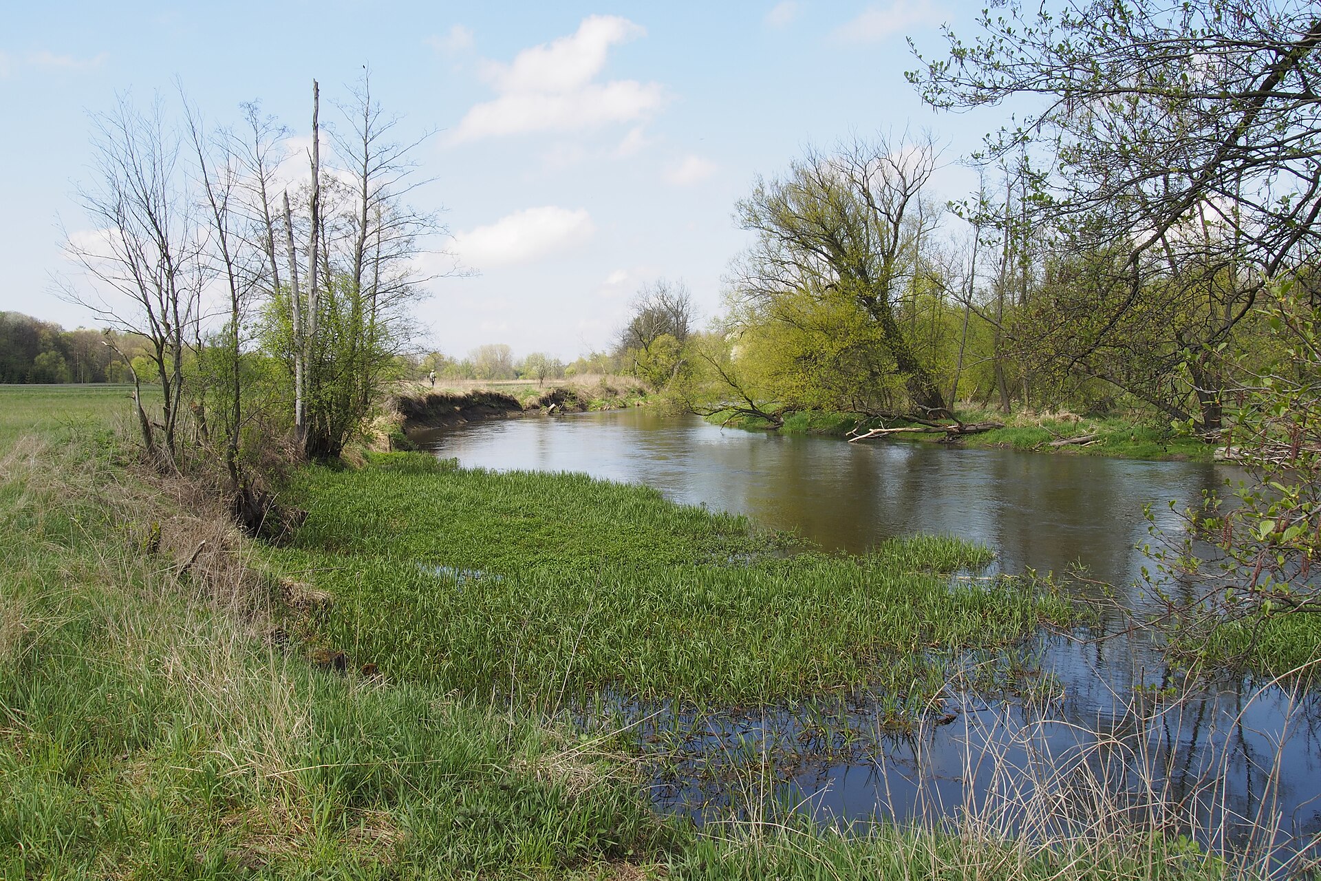
A terrestrial area, where land cover is dominated by farmland (69%).
What rocks lie beneath Krzczonów Landscape Park?
According to the European 1:1 million geological map (EGDI), the bedrock consists mainly of siliceous rocks (53% of sampled points), sands and gravels (27%) and glacial deposits (13%). These are mostly sedimentary rocks. The geological units date mainly from the Paleogene (53% of sampled points).
What is the highest point of Krzczonów Landscape Park?
Chełmiec, at 285 m (OpenStreetMap).
What are the main summits of Krzczonów Landscape Park?
Chełmiec (285 m), Szabałowa Góra (283 m), Kobyla (282 m), Wielki Wzgórek (282 m) and Okrągłe (275 m) (OpenStreetMap).
Which international labels apply to Krzczonów Landscape Park?
Natura 2000 network (2 sites).
Is there snow in Krzczonów Landscape Park?
Yes. According to NASA's MODIS satellites (2015–2025 average), snow covers most of the site in January, and until February on higher ground, with about 45 snow-covered days a year on average.
What is there to see in Krzczonów Landscape Park?
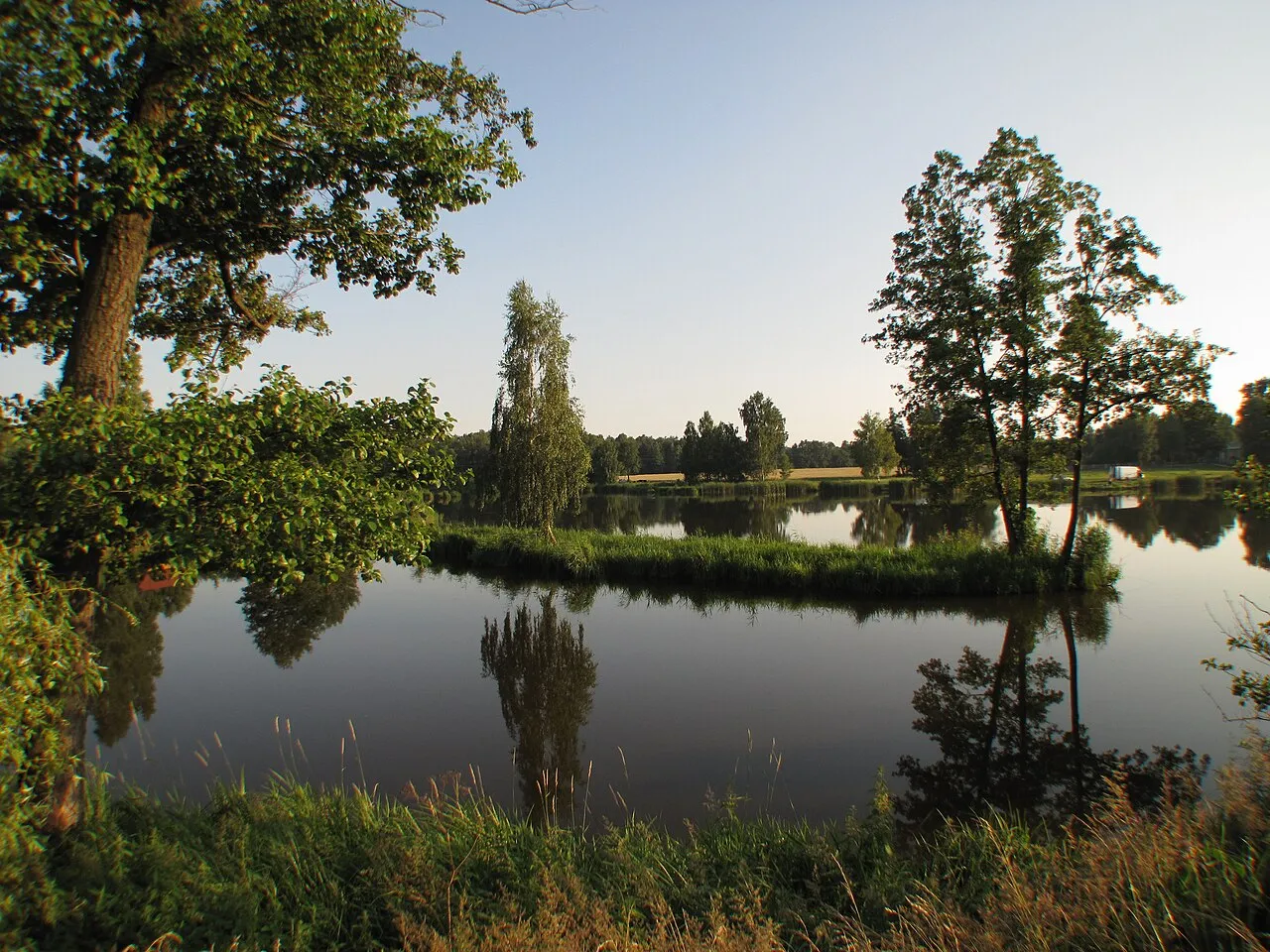
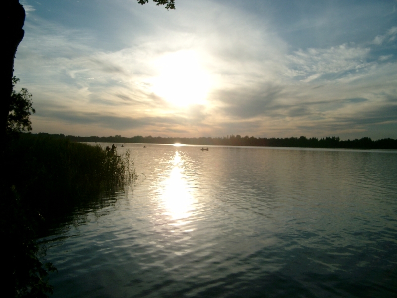
Zalew retencyjny w Rybczewicach Drugich (lake or pond) (OpenStreetMap).
Are there historic monuments in Krzczonów Landscape Park?
Yes. According to Wikidata, 27 monuments listed in the Polish register of monuments stand within the boundary. For example: “Old parish cemetery in Częstoborowice” in Częstoborowice, “Brama wjazdowa z dwiema furtkami” in Rybczewice Pierwsze and “Dwór w Rybczewicach Pierwszych” in Rybczewice Pierwsze.
What is the nearest large city to Krzczonów Landscape Park?
Nearest towns of over 50,000 people, as the crow flies: Lublin (21 km) and Zamość (39 km). Nearest airport: Lublin (LUZ), about 16 km away.
How can I reach Krzczonów Landscape Park by train?
The nearest railway station is Lublin Zemborzyce, about 17 km from the site boundary.
Which species can be seen in Krzczonów Landscape Park?
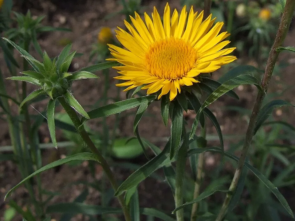
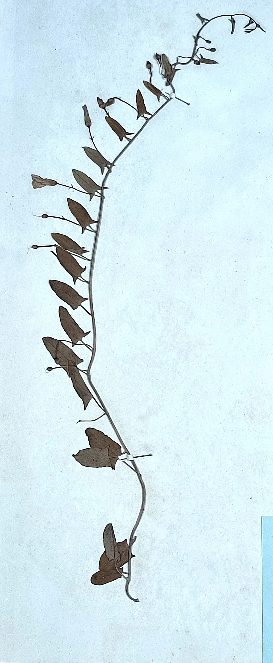
Among the species most often recorded on GBIF are Pentanema ensifolium (Sword-leaved Inula), Anthericum ramosum (Branched St Bernard's lily), Convolvulus arvensis (Field Bindweed) and Impatiens parviflora (Small balsam).
© OpenStreetMap
Download the boundary: GeoJSON · GPX Boundary © OpenStreetMap contributors (ODbL).
Geography
According to the European 1:1 million geological map (EGDI), the bedrock consists mainly of siliceous rocks (53% of sampled points), sands and gravels (27%) and glacial deposits (13%). These are mostly sedimentary rocks. The geological units date mainly from the Paleogene (53% of sampled points).
Area
- Area
- 12,421 ha
- Snow cover
- ≈ 45 days a year
- Coordinates
- 51.0244, 22.7633
Bedrock
- Siliceous rocks 53 %
- Sands and gravels 27 %
- Glacial deposits 13 %
- Limestones 7 %
Sedimentary rocks 100 % · Main age: Paleogene (53%)
Source: EGDI 1:1M geological map (EuroGeoSurveys and national geological surveys), CC BY 4.0 · 15 sampled points within the site.
Main summits
- Chełmiec285 m
- Szabałowa Góra283 m
- Kobyla282 m
- Wielki Wzgórek282 m
- Okrągłe275 m
- Jarzębów270 m
- Gliniana260 m
Data © OpenStreetMap contributors (ODbL)
Snow cover measured by satellite
J
F
M
A
M
J
J
A
S
O
N
D
average share of the site under snow · snowiest parts · ≈ 45 days a year
Snow cover: MODIS/Terra MOD10CM v61 (Hall & Riggs, 2021, NASA NSIDC DAAC, doi:10.5067/MODIS/MOD10CM.061), imagery from NASA GIBS (ESDIS); 2015–2025 average, grid of about 5 km.
Natural habitats
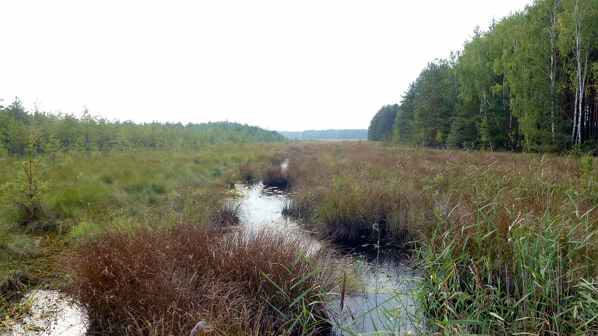
According to CORINE Land Cover (2018), the site is mainly made up of farmland (69%) and forests (25%). Woodland is mostly broadleaved. Elevation ranges from about 210 m to 285 m (highest point: Chełmiec). The 2 Natura 2000 sites overlapping the area list 1 habitat of European interest: Galio-Carpinetum oak-hornbeam forests.
Biodiversity
Based on occurrences aggregated by GBIF, several species are regularly recorded within the site. Among the most frequent are Pentanema ensifolium (Sword-leaved Inula), Anthericum ramosum (Branched St Bernard's lily), Convolvulus arvensis (Field Bindweed) and Impatiens parviflora (Small balsam). The full list of documented taxa is shown below.
Habitats of European interest
From the official forms of the 2 Natura 2000 sites overlapping the area (areas reported for each whole site).
- Galio-Carpinetum oak-hornbeam forests 37 ha
Species to look out for




Observed species
Occurrences documented via GBIF; they are neither an exhaustive inventory nor proof of current presence.
- Sword-leaved Inula · Pentanema ensifolium · 10
- Branched St Bernard's lily · Anthericum ramosum · 5
- Field Bindweed · Convolvulus arvensis · 5
- Small balsam · Impatiens parviflora · 3
- Common buckthorn · Rhamnus cathartica · 3
- Siberian Bellflower · Campanula sibirica · 3
- White swallow-wort · Vincetoxicum hirundinaria · 3
- Mallard · Anas platyrhynchos · 3
- Common Buzzard · Buteo buteo · 2
- Soft rush · Juncus effusus · 2
- Bird's-nest orchid · Neottia nidus-avis · 2
- Wild basil · Clinopodium vulgare · 2
Records: GBIF.org (CC-BY). Names: Wikidata (CC0), GBIF. Photos: Wikimedia Commons.
Conservation challenges
The primary purpose of the site is to preserve its natural habitats and the biodiversity they support. The species recorded (Biodiversity tab) reflect its ecological value. The designations it holds frame its management and the control of land use.
According to Global Forest Change data (University of Maryland, Global Forest Watch), about 174 ha of tree cover were lost within the boundary between 2001 and 2023 (1% of its area), peaking in 2003 and 2005. These losses include logging, storms and fires, and do not account for regrowth. Apart from forest felling and regrowth (about 280 ha in total), land cover remained almost unchanged between 1990 and 2018 according to CORINE Land Cover. At night, the area gives off virtually no artificial light detectable from space (NASA VIIRS Black Marble composite, 2016). Built-up and developed land (buildings, business areas, roads, quarries) covers 4% of the area, and farmland 69% (CORINE Land Cover). According to the Water Framework Directive assessment (2022 river basin management plans, data 2014–2019), the only river assessed within the site has moderate ecological status.
Pressure indicators
Tree cover lost
174 ha
2001–2023 · 1% of the area
20012023
Fires since 2016
0
No large fire mapped (fires over about 30 ha)
Light at night
0%
of the area gives off artificial light visible from space
DarkLit
Built-up land
4%
buildings, business areas, roads, quarries · farmland 69%
Land cover change
< 0.5%
of the area changed, 1990–2018 · CORINE
forest felling and regrowth: 280 ha in total
Rivers and lakes
0%
of the 28 km of assessed rivers in good or high ecological status · WFD 2022
assessments 2014–2019
Invasive alien species
1
recorded since 2000
Sources: Global Forest Change (Hansen et al., University of Maryland, via Global Forest Watch, CC-BY 4.0); EFFIS, European Commission / Copernicus; NASA Black Marble 2016 (public domain); CORINE Land Cover 2018 (Copernicus) or MODIS.
CORINE Land Cover Change 1990–2018: generated using European Union's Copernicus Land Monitoring Service information (EEA), aggregated by Parkavela; DOI 10.2909/f30f1000-7cf8-43bb-872c-5eb093911b24.
Ecological status of water bodies: European Environment Agency, WISE – Water Framework Directive, 3rd river basin management plans (2022), CC BY 4.0. Official national classification, not comparable between countries.
Invasive alien species: Global Register of Introduced and Invasive Species (ISSG, CC BY 4.0); Union list, Regulation (EU) 1143/2014 (INBO, CC0); GBIF.org records (CC0 / CC BY 4.0), at least 2 per species.
Practical information
Cities and airport
- Lublin
21 km as the crow flies - Zamość
39 km as the crow flies - Airport: Lublin (LUZ)
16 km as the crow flies
Data © OpenStreetMap contributors (ODbL) · Wikidata (CC0)
Access and visiting
The nearest railway station is Lublin Zemborzyce, about 17 km from the site boundary. Nearest towns of over 50,000 people, as the crow flies: Lublin (21 km) and Zamość (39 km). Nearest airport: Lublin (LUZ), about 16 km away. About 300,000 people live within 20 km of the site boundary, 45,000 of them within 10 km; some 3,800 people are estimated to live inside (GHSL estimate, 2020). This population has fallen by about 5% since 2000. To see: Zalew retencyjny w Rybczewicach Drugich (lake or pond). To plan a visit (access, opening periods, visitor rules), it is best to consult the official information from the managing body and the official website listed in this page's sources.
Source: OpenStreetMap (ODbL), Wikidata (CC0), October 2026.
Built heritage
According to Wikidata, 27 monuments listed in the Polish register of monuments stand within the boundary. Among them are 10 religious buildings, 5 houses and civic buildings and 1 castle or fortification. Examples include “Old parish cemetery in Częstoborowice” in Częstoborowice, “Brama wjazdowa z dwiema furtkami” in Rybczewice Pierwsze and “Dwór w Rybczewicach Pierwszych” in Rybczewice Pierwsze.
10 religious buildings5 houses and civic buildings1 castle or fortification
-
Old parish cemetery in Częstoborowice
Częstoborowice -
Brama wjazdowa z dwiema furtkami
Rybczewice Pierwsze -
Dwór w Rybczewicach Pierwszych
Rybczewice Pierwsze -
Kaplica grobowa Drojeckich w Częstoborowicach
Częstoborowice -
D. cmentarz przy kościele w Krzczonowie
Krzczonów · 17th c. -
Ogrodzenie z dwiema kapliczkami procesyjnymi w Krzczonowie
Krzczonów · 19th c. -
Kapliczka z rzeźbą św. Jana Nepomucena w Pilaszkowicach Pierwszych
Pilaszkowice Pierwsze -
Dzwonnica-brama w Częstoborowicach
Częstoborowice
and 19 more
Source: Wikidata (CC0), monuments in each country’s official heritage protection registers, at national or regional level. Each item links to its Wikidata entry.
When to visit
According to NASA's MODIS satellites (2015–2025 average), snow covers most of the site in January, and until February on higher ground, with about 45 snow-covered days a year on average.
Wildlife records calendar
JFMAMJJASOND
Plants
Monthly records published on GBIF (CC-BY), relative to the busiest month; also reflects observer activity.
Gallery
© Niantic100 · CC BY-SA 3.0
© Karol Karolus · CC BY-SA 4.0
© Niantic100 · CC BY-SA 3.0
© Merc777 · CC BY-SA 4.0
© Karol Karolus · CC BY-SA 4.0
© Karol Karolus · CC BY-SA 4.0
Sources and licences
- Wikidata: Q267043
- Wikipedia: en.wikipedia.org/wiki/Krzczonów_Landscape_Park
- WDPA: 62883
References
- land.copernicus.eu: land cover, land cover change, sea share · COPERNICUS
- doi.org: population around the site · CC-BY-4.0
- wikidata.org: official area, establishment date, protected heritage, official name, nearby cities and airport, access and peaks, lake depths, places to see · CC0-1.0
- eea.europa.eu: bathing water quality, ecological status of waters · CC-BY-4.0
- en.eurovelo.com: EuroVelo cycle routes · ODbL-1.0
- cycling.waymarkedtrails.org: cycle routes · ODbL-1.0
- opentopodata.org: elevations · PD
- forest-fire.emergency.copernicus.eu: wildfires · COPERNICUS
- globalforestwatch.org: tree cover loss · CC-BY-4.0
- gbif.org: seasonality of sightings, invasive alien species, observed species · CC-BY-4.0
- europe-geology.eu: geology · CC-BY-4.0
- hydrosheds.org: lakes · CC-BY-4.0
- natura2000.eea.europa.eu: Natura 2000 habitats and species · CC-BY-4.0
- earthobservatory.nasa.gov: night light · PD
- openstreetmap.org: access and peaks, places to see · ODbL-1.0
- registry.opendata.aws: detailed relief · PD
- nsidc.org: snow cover · PD
- wikidata.org: Wikipedia article · CC-BY-SA-4.0
Data © OpenStreetMap contributors (ODbL), Wikidata (CC0) and the sources cited.