Argentina · Marine
Makenke Interjurisdictional Marine Park
Marine protected area of 72,330 hectares in Argentina.
AI-generated illustration (Magnific) · typical landscape, not a photo of this place
Overview
Marine protected area of 72,330 hectares in Argentina.
Makenke Interjurisdictional Marine Park is a marine protected area in Argentina (South America). It is a predominantly marine area. It covers about 72,330 hectares.
Frequently asked questions
Where is Makenke Interjurisdictional Marine Park?
In Argentina (South America). Representative point: 49.5482° S, 67.6250° W.
How large is Makenke Interjurisdictional Marine Park?
About 72,330 hectares (723 km²). It is the 3rd largest of the 3 marine protected areas in Argentina covered by Parkavela.
What habitats and landscapes does Makenke Interjurisdictional Marine Park include?
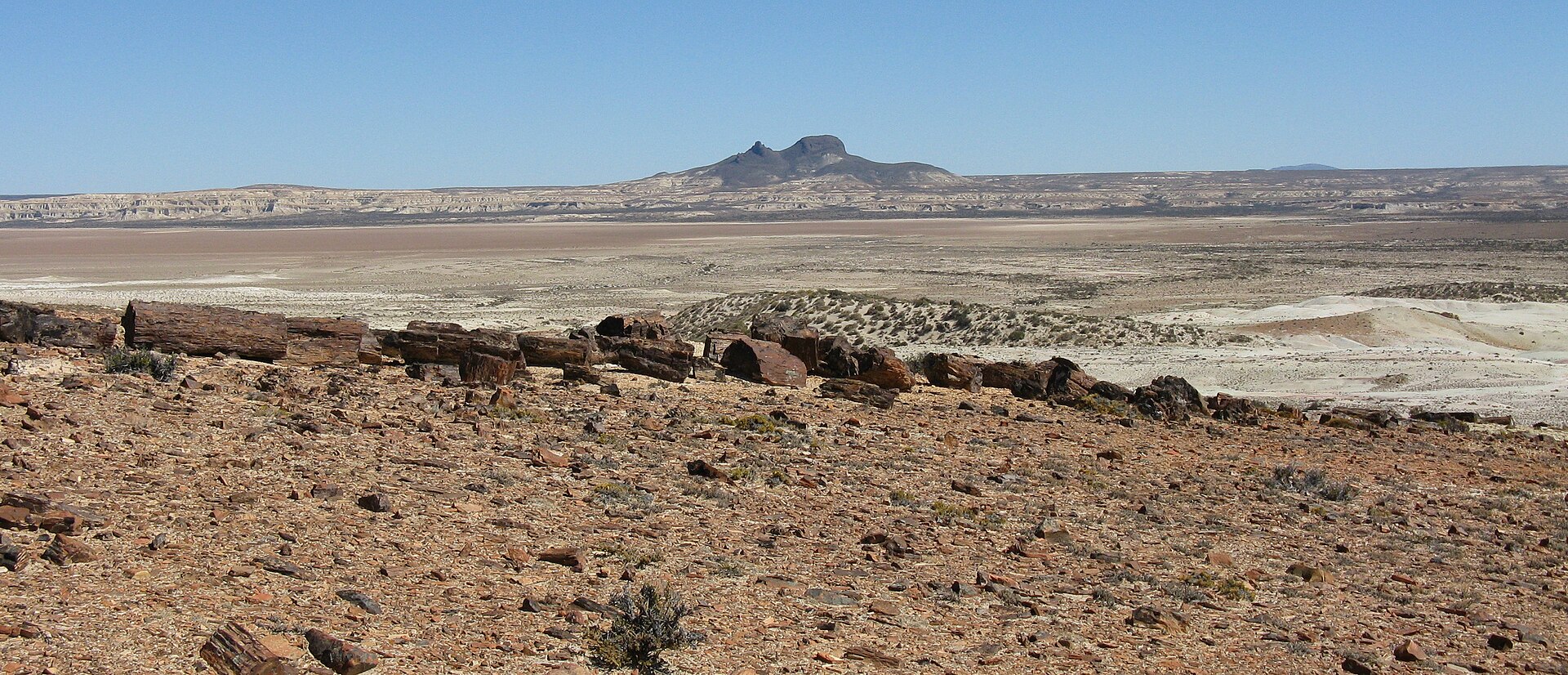
A marine area, where land cover is dominated by bare rock and scree (47%).
When is the best time to visit Makenke Interjurisdictional Marine Park?
Best time to visit: from October to April, with average temperatures of 10 to 16 °C and moderate rainfall.
What is the nearest airport to Makenke Interjurisdictional Marine Park?
Nearest airport: Piloto Civil Norberto Fernández (RGL), about 220 km away.
Which species can be seen in Makenke Interjurisdictional Marine Park?
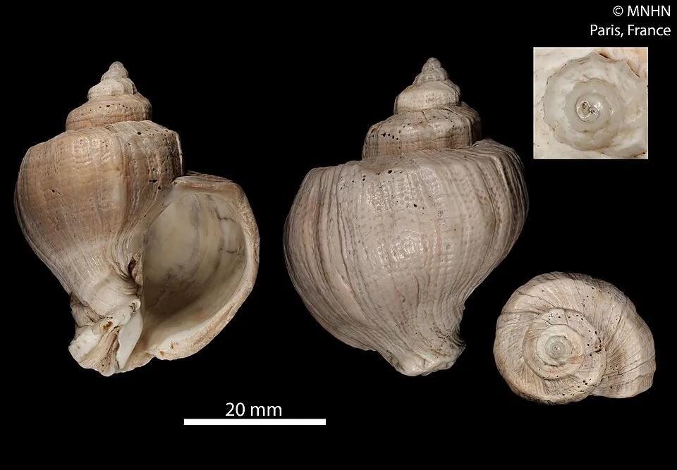
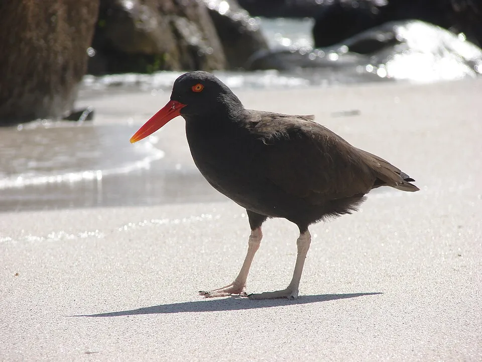
Among the species most often recorded on GBIF are Trophon geversianus (Gevers's Trophon), Acanthina monodon (One-toothed thais), Haematopus ater (Blackish Oystercatcher) and Larus dominicanus (Kelp Gull).
© OpenStreetMap
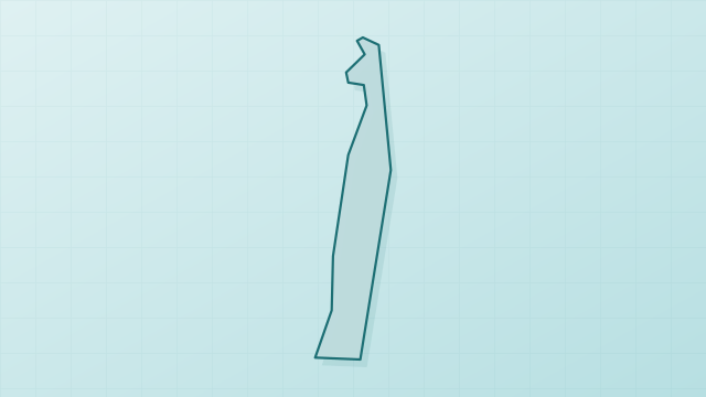
Download the boundary: GeoJSON · GPX Boundary © OpenStreetMap contributors (ODbL).
Geography
Over the 1996–2025 period, the mean annual temperature is about 9.9 °C and total precipitation reaches roughly 252 mm per year. The warmest month is usually January, the coolest July, and the wettest June.
Area
- Area of the boundary
- 72,330 ha
- Coordinates
- -49.5482, -67.625
Climate
● Mean temperature (°C) · ▮ Precipitation (mm)
Source: Copernicus ERA5-Land (C3S, doi:10.24381/cds.68d2bb30), monthly averages 1996–2025 interpolated to the representative point, temperatures adjusted for elevation.
Contains modified Copernicus Climate Change Service information 2026. Neither the European Commission nor ECMWF is responsible for any use that may be made of the Copernicus information or data it contains.
Natural habitats
The site is almost entirely marine. The seabed reaches about 89 m deep (median depth 25 m; GEBCO bathymetry).
Biodiversity
Based on occurrences aggregated by GBIF, several species are regularly recorded within the site. Among the most frequent are Trophon geversianus (Gevers's Trophon), Acanthina monodon (One-toothed thais), Haematopus ater (Blackish Oystercatcher) and Larus dominicanus (Kelp Gull). The full list of documented taxa is shown below.
Species to look out for

Bird
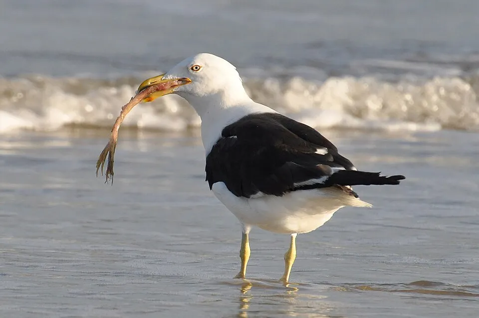
Kelp Gull
Larus dominicanus6 records © Cláudio Dias Timm from Rio Grande do Sul · CC BY-SA 2.0

Bird
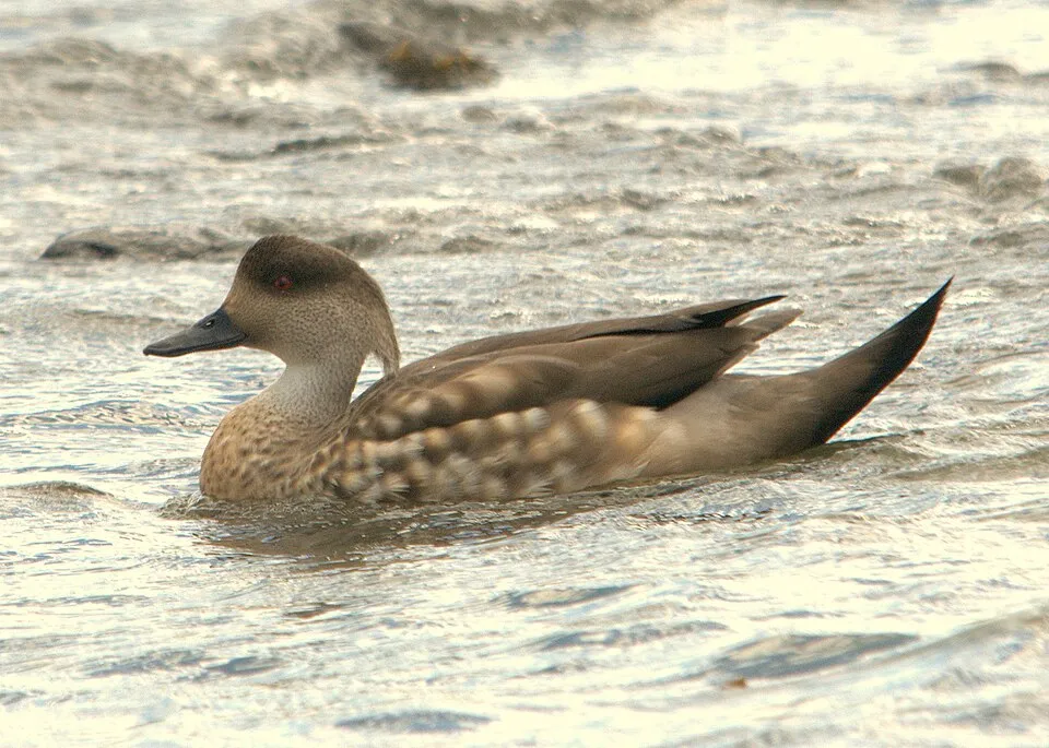
Crested Duck
Lophonetta specularioidesObserved species
Occurrences documented via GBIF; they are neither an exhaustive inventory nor proof of current presence.
- Gevers's Trophon · Trophon geversianus · 14
- One-toothed thais · Acanthina monodon · 10
- Blackish Oystercatcher · Haematopus ater · 6
- Kelp Gull · Larus dominicanus · 6
- Flying Steamer Duck · Tachyeres patachonicus · 6
- Crested Duck · Lophonetta specularioides · 6
- Southern king crab · Lithodes santolla · 6
- Pachycymbiola ferussacii · 4
- American Oystercatcher · Haematopus palliatus · 4
- Rock Shag · Phalacrocorax magellanicus · 4
- Rufous-collared Sparrow · Zonotrichia capensis · 4
- Mutisia retrorsa · 4
+18 more species
- Snake's head coralline · Aetea anguina · 3
- Glycinde armata · 3
- Magellanic Oystercatcher · Haematopus leucopodus · 3
- Southern Giant Petrel · Macronectes giganteus · 3
- Colliguaja integerrima · 3
- Octamerous Anemone · Bunodactis octoradiata · 3
- Imperial Shag · Leucocarbo atriceps · 3
- Giant Jacknife · Ensis macha · 3
- Neotropic Cormorant · Phalacrocorax brasilianus · 3
- Scruparia ambigua · 2
- Amastigia benemunita · 2
- Mourning Sierra Finch · Rhopospina fruticeti · 2
- Shorttail Yellownose Skate · Zearaja brevicaudata · 2
- Acanthoserolis schythei · 2
- Raspthorn Sandskate · Psammobatis scobina · 2
- Rufous-chested Plover · Charadrius modestus · 2
- Least Seedsnipe · Thinocorus rumicivorus · 2
- Buff-winged Cinclodes · Cinclodes fuscus · 2
Records: GBIF.org (CC-BY). Names: Wikidata (CC0), GBIF. Photos: Wikimedia Commons.
Conservation challenges
The primary purpose of the site is to preserve its natural habitats and the biodiversity they support. The species recorded (Biodiversity tab) reflect its ecological value. Its status as a marine protected area sets the regulatory framework for its protection.
Practical information
Cities and airport
- Airport: Piloto Civil Norberto Fernández (RGL)
220 km as the crow flies
Data © OpenStreetMap contributors (ODbL) · Wikidata (CC0)
Access and visiting
Nearest airport: Piloto Civil Norberto Fernández (RGL), about 220 km away. About 13,000 people live within 20 km of the site boundary (GHSL estimate, 2020). This population has grown by about 108% since 2000. To plan a visit (access, opening periods, visitor rules), it is best to consult the official information from the managing body and the official website listed in this page's sources.
Source: OpenStreetMap (ODbL), Wikidata (CC0), October 2026.
When to visit
Best time to visit: from October to April, with average temperatures of 10 to 16 °C and moderate rainfall. Day length ranges from about 8 h 10 min in June to 16 h 16 min in December. Wildlife records published on GBIF peak for mammals (December and January). These peaks also reflect when observers are most active.
Source: Copernicus ERA5-Land (C3S), monthly averages 1996–2025 at the representative point, temperatures adjusted for elevation.
Contains modified Copernicus Climate Change Service information 2026. Neither the European Commission nor ECMWF is responsible for any use that may be made of the Copernicus information or data it contains.
Wildlife records calendar
JFMAMJJASOND
Mammals
Monthly records published on GBIF (CC-BY), relative to the busiest month; also reflects observer activity.
Sources and licences
- Wikidata: Q16616360
- OpenStreetMap: relation 9946869
- Wikipedia: es.wikipedia.org/wiki/Parque_interjurisdiccional_marino_Makenke
References
- cds.climate.copernicus.eu: climate · CC-BY-4.0
- registry.opendata.aws: elevation of the reference point · PD
- lpdaac.usgs.gov: land cover · PD
- doi.org: population around the site · CC-BY-4.0
- naturalearthdata.com: sea share · PD
- openstreetmap.org: access and peaks · ODbL-1.0
- gebco.net: depths · PD
- opentopodata.org: elevations · PD
- gbif.org: seasonality of sightings, invasive alien species, observed species · CC-BY-4.0
- wikidata.org: protected heritage, official name, nearby cities and airport, access and peaks, places to see · CC0-1.0
- wikidata.org: Wikipedia article · CC-BY-SA-4.0
Data © OpenStreetMap contributors (ODbL), Wikidata (CC0) and the sources cited.