Japan · Marine
Ogasawara National Park
National park of 6,629 hectares in Japan, established in 1972.
Overview
National park of 6,629 hectares in Japan, established in 1972.
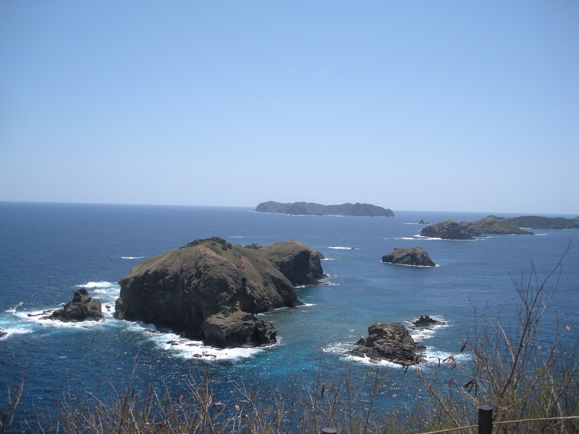
Ogasawara National Park is located in Japan (Asia). It is a predominantly marine area. Established on 16 October 1972, it covers about 6,629 hectares.
Protections and designations
UNESCO World Heritage
Protected as a national park. International labels and designations: UNESCO World Heritage (“Ogasawara Archipelago”). Key dates: established in 1972 and World Heritage listing in 2011.
In our collections
Timeline
-
1972
Established
-
2011
Inscribed as a UNESCO World Heritage Site Ogasawara Archipelago
Sources: Wikidata (CC0) for establishment and international labels; EEA Natura 2000 database (CC-BY 4.0) for site designation dates.
Frequently asked questions
Where is Ogasawara National Park?
In Japan (Asia). Representative point: 26.5873° N, 142.1189° E.
How large is Ogasawara National Park?
About 6,629 hectares (66 km²). It is the 34th largest of the 35 national parks in Japan covered by Parkavela. About 6,200 ha are at sea.
When was Ogasawara National Park established?
On 16 October 1972.
What habitats and landscapes does Ogasawara National Park include?
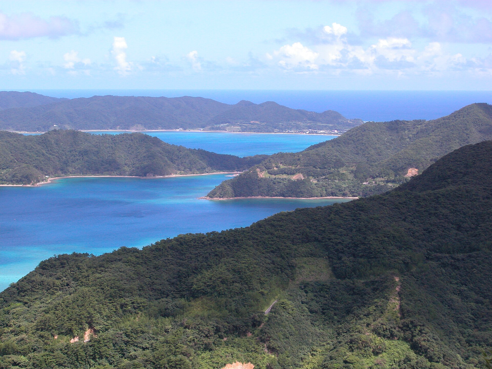
A marine area, with coasts and coral reefs.
Which international labels apply to Ogasawara National Park?
UNESCO World Heritage (“Ogasawara Archipelago”).
When is the best time to visit Ogasawara National Park?
Best time to visit: the dry season, from December to February, with less than 70 mm of rain per month.
Which species can be seen in Ogasawara National Park?
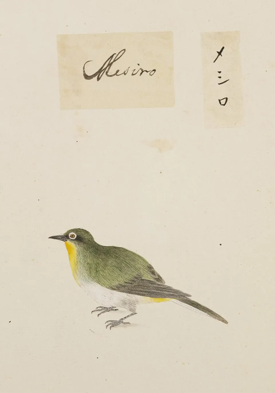
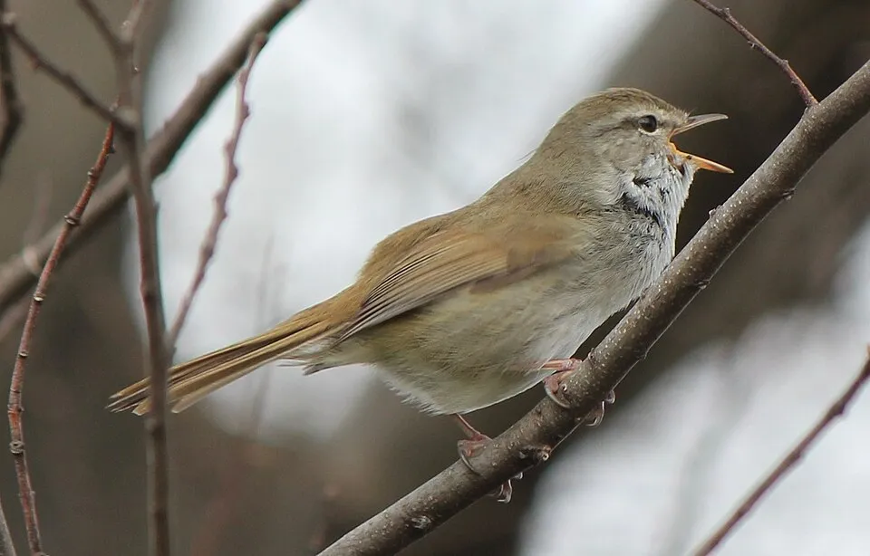
Among the species most often recorded on GBIF are Zosterops japonicus (Warbling white-eye), Monticola solitarius (Blue Rock Thrush), Hypsipetes amaurotis (Brown-eared Bulbul) and Horornis diphone (Japanese Bush Warbler).
What is the official website of Ogasawara National Park?
© OpenStreetMap
Download the boundary: GeoJSON · GPX Boundary © OpenStreetMap contributors (ODbL).
Geography
Over the 1996–2025 period, the mean annual temperature is about 23.6 °C and total precipitation reaches roughly 1,351 mm per year. The warmest month is usually August, the coolest February, and the wettest April.
Area
- Area
- 6,629 ha
- Coordinates
- 26.5873, 142.1189
Climate
● Mean temperature (°C) · ▮ Precipitation (mm)
Source: Copernicus ERA5 (C3S, doi:10.24381/cds.f17050d7), monthly averages 1996–2025 interpolated to the representative point, temperatures adjusted for elevation.
Contains modified Copernicus Climate Change Service information 2026. Neither the European Commission nor ECMWF is responsible for any use that may be made of the Copernicus information or data it contains.
Natural habitats
The sea covers about 93% of the site. The seabed reaches about 266 m deep (median depth 123 m; GEBCO bathymetry). Reef-building corals are documented in the area: 1,716 records published on GBIF.
Biodiversity
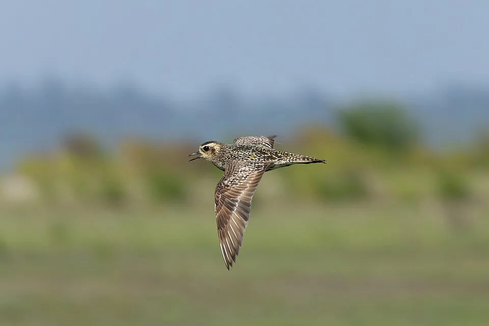
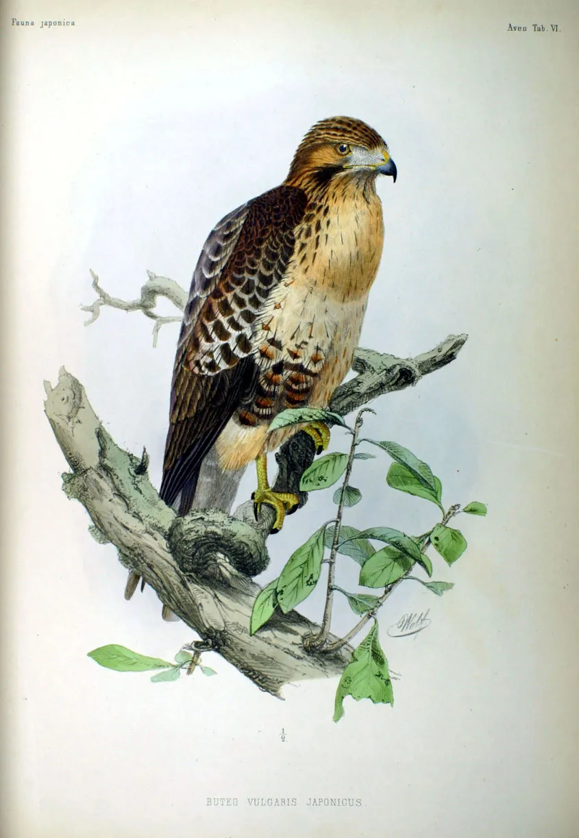
Based on occurrences aggregated by GBIF, several species are regularly recorded within the site. Among the most frequent are Zosterops japonicus (Warbling white-eye), Monticola solitarius (Blue Rock Thrush), Hypsipetes amaurotis (Brown-eared Bulbul) and Horornis diphone (Japanese Bush Warbler). The full list of documented taxa is shown below.
Species to look out for
Bird
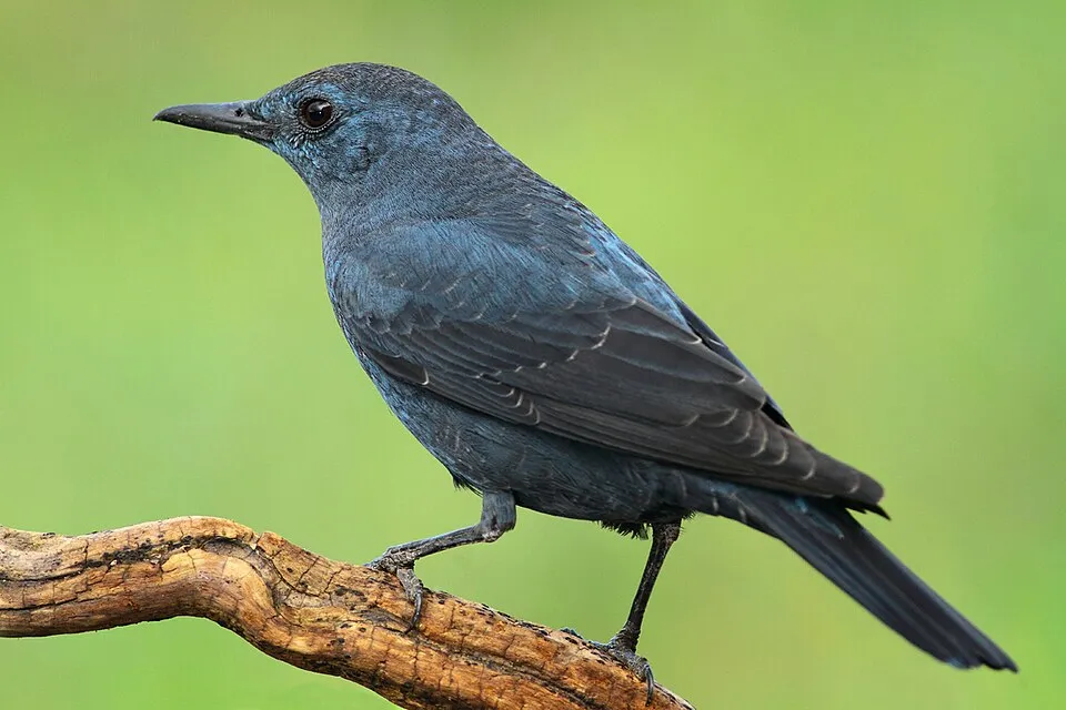
Blue Rock Thrush
Monticola solitarius290 records © jose maria carretero palacios from jerez de los caballeros, españa · CC BY 2.0
Observed species
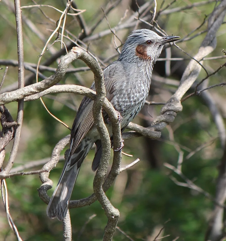
Occurrences documented via GBIF; they are neither an exhaustive inventory nor proof of current presence.
- Warbling white-eye · Zosterops japonicus · 306
- Blue Rock Thrush · Monticola solitarius · 290
- Brown-eared Bulbul · Hypsipetes amaurotis · 260
- Japanese Bush Warbler · Horornis diphone · 221
- Pacific Golden Plover · Pluvialis fulva · 195
- Eastern Buzzard · Buteo japonicus · 187
- Brown Booby · Sula leucogaster · 180
- Bonin white-eye · Apalopteron familiare · 140
- Ruddy Turnstone · Arenaria interpres · 134
- Black Wood Pigeon · Columba janthina · 132
- Callicarpa subpubescens · 128
- Pandanus boninensis · 115
+18 more species
- White's Thrush · Zoothera aurea · 90
- Wedge-tailed Shearwater · Puffinus pacificus · 87
- Schima mertensiana · 84
- Pittosporum boninense · 84
- Black-ash · Planchonella obovata · 82
- Syzygium cleyerifolium · 80
- Wikstroemia pseudoretusa · 76
- Gynochthodes boninensis · 76
- Celtis boninensis · 74
- Talipariti glabrum · 72
- Psychotria homalosperma · 69
- Ochrosia nakaiana · 69
- Ligustrum micranthum · 69
- Lepisorus boninensis · 66
- Pteris boninensis · 65
- Geniostoma fagraeoides · 64
- Asplenium trigonopterum · 58
- Antrophyum plantagineum · 55
Records: GBIF.org (CC-BY). Names: Wikidata (CC0), GBIF. Photos: Wikimedia Commons.
Conservation challenges
The primary purpose of the site is to preserve its natural habitats and the biodiversity they support. The species recorded (Biodiversity tab) reflect its ecological value. The designations it holds frame its management and the control of land use.
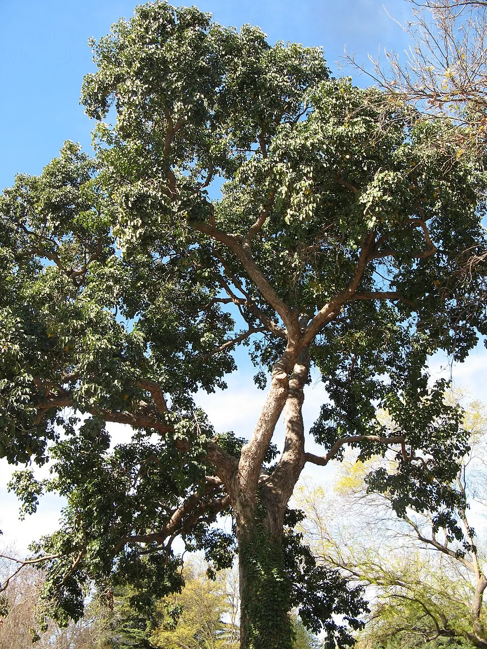
Since 2000, 29 invasive alien species have been recorded within the site (GBIF observations). Among them: Bischofia javanica (Javanese bishopwood), Broussonetia papyrifera (Paper mulberry) and Pinus luchuensis (Luchu Pine).
Pressure indicators
Invasive alien species
29
recorded since 2000
 Javanese bishopwood
 Paper mulberry
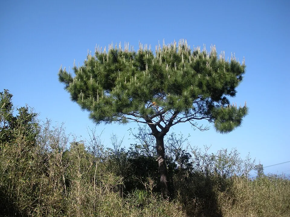 Luchu Pine
Cattley guava
 Green Anole
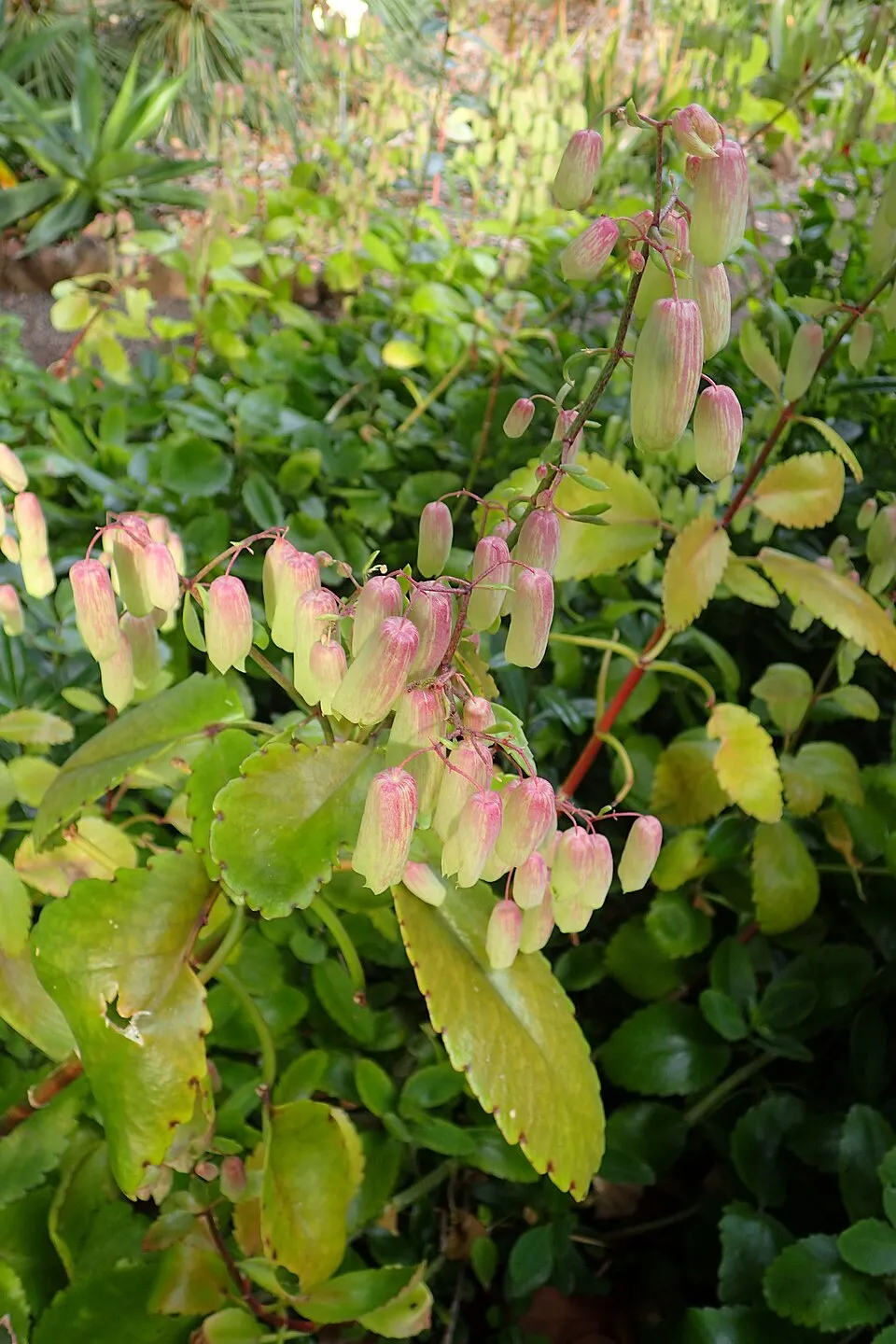 Cathedral bells
 Caucasian bluestem
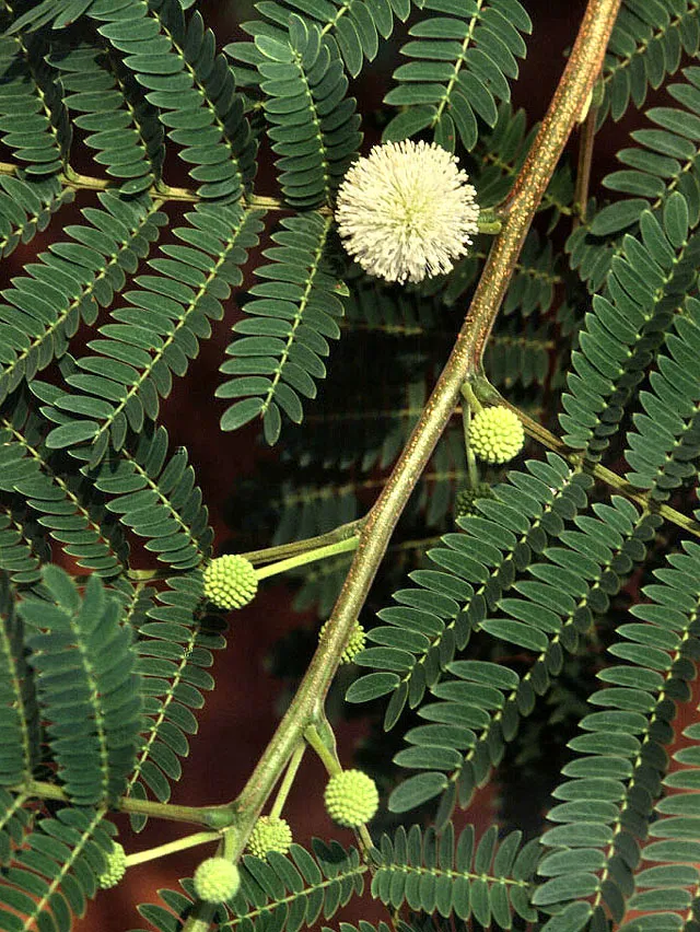 White leadtree
Photos: Javanese bishopwood © Geographer · CC BY-SA 3.0; Paper mulberry © Didier Descouens · CC BY-SA 4.0; Luchu Pine © タクナワン · CC0-1.0; Green Anole © Euku · CC BY-SA 3.0; Cathedral bells © Krzysztof Ziarnek, Kenraiz · CC BY-SA 4.0; Caucasian bluestem © USDA NRCS National Plant Materials Center Beltsville, MD · Public domain; White leadtree © Ek Balam · Public domain
Sources: Global Forest Change (Hansen et al., University of Maryland, via Global Forest Watch, CC-BY 4.0); EFFIS, European Commission / Copernicus; NASA Black Marble 2016 (public domain); CORINE Land Cover 2018 (Copernicus) or MODIS.
Invasive alien species: Global Register of Introduced and Invasive Species (ISSG, CC BY 4.0); Union list, Regulation (EU) 1143/2014 (INBO, CC0); GBIF.org records (CC0 / CC BY 4.0), at least 2 per species.
Access and visiting
To plan a visit (access, opening periods, visitor rules), it is best to consult the official information from the managing body and the official website listed in this page's sources.
When to visit
Best time to visit: the dry season, from December to February, with less than 70 mm of rain per month. Day length ranges from about 10 h 29 min in December to 13 h 48 min in June. Wildlife records published on GBIF peak for birds (April) and mammals (March and April). These peaks also reflect when observers are most active.
Source: Copernicus ERA5 (C3S), monthly averages 1996–2025 at the representative point, temperatures adjusted for elevation.
Contains modified Copernicus Climate Change Service information 2026. Neither the European Commission nor ECMWF is responsible for any use that may be made of the Copernicus information or data it contains.
Wildlife records calendar
JFMAMJJASOND
Birds
Plants
Mammals
Monthly records published on GBIF (CC-BY), relative to the busiest month; also reflects observer activity.
Gallery
© タクナワン · CC0-1.0
© タクナワン · CC0-1.0
© MODIS Rapid Response Team, NASA Goddard Space Flight Center · Public domain
© fo.ol · CC BY-SA 2.0
© タクナワン · CC0-1.0
© takeakisky homma · CC BY-SA 3.0
Sources and licences
- Wikidata: Q1206471
- Official website: http://www.env.go.jp/park/ogasawara/index.html
- Wikipedia: en.wikipedia.org/wiki/Ogasawara_National_Park
- WDPA: 751
References
- env.go.jp: official area, official name · CC-BY-4.0
- cds.climate.copernicus.eu: climate · CC-BY-4.0
- registry.opendata.aws: elevation of the reference point · PD
- lpdaac.usgs.gov: land cover · PD
- doi.org: population around the site · CC-BY-4.0
- naturalearthdata.com: sea share · PD
- gbif.org: coral records, seasonality of sightings, invasive alien species, observed species · CC-BY-4.0
- gebco.net: depths · PD
- opentopodata.org: elevations · PD
- wikidata.org: establishment date, protected heritage, nearby cities and airport, access and peaks, places to see, official website · CC0-1.0
- wikidata.org: Wikipedia article · CC-BY-SA-4.0
Data © OpenStreetMap contributors (ODbL), Wikidata (CC0) and the sources cited.