Bird
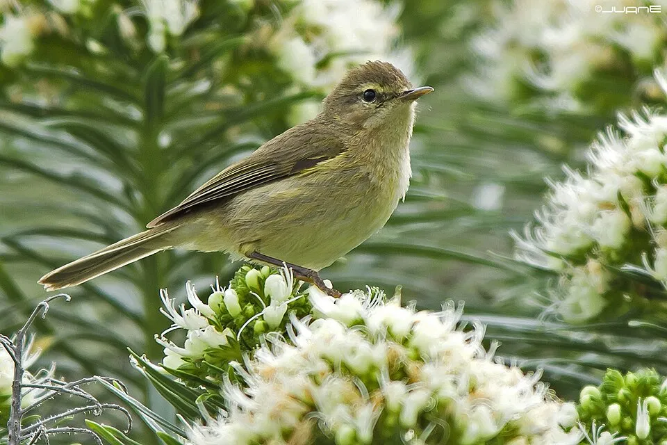
Canary Islands Chiffchaff
Phylloscopus canariensis14 records © Juan Emilio from Las Palmas de Gran Canaria, España · CC BY-SA 2.0
Spain · Terrestrial
Nature park of 5,777 hectares in Spain, established in 1987.
Nature park of 5,777 hectares in Spain, established in 1987.
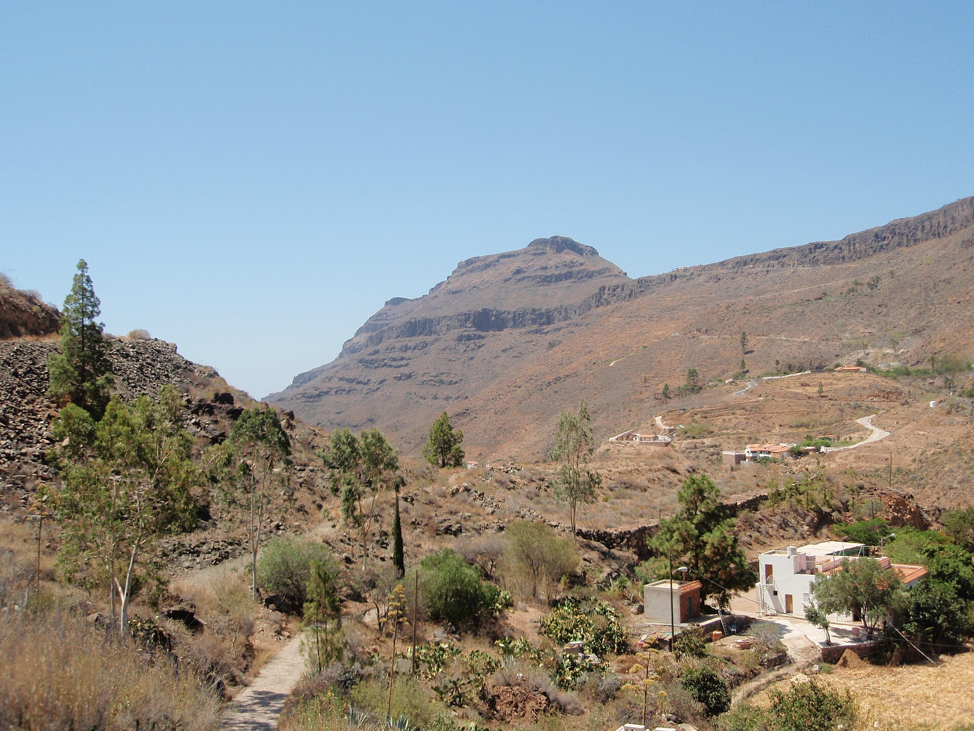
Pilancones Natural Park is a nature park in Spain (Europe). It is a predominantly terrestrial area. Established in 1987, it covers about 5,777 hectares.
Protected as a nature park. International labels and designations: Natura 2000 network (2 sites). Key dates: established in 1987, first Natura 2000 site under the Birds Directive in 1989 and first Natura 2000 site under the Habitats Directive in 2010.
Sources: Wikidata (CC0) for establishment and international labels; EEA Natura 2000 database (CC-BY 4.0) for site designation dates.
In Spain (Europe). Representative point: 27.8765° N, 15.6295° W.
About 5,777 hectares (58 km²). It is the 53rd largest of the 73 nature parks in Spain covered by Parkavela.
In 1987.
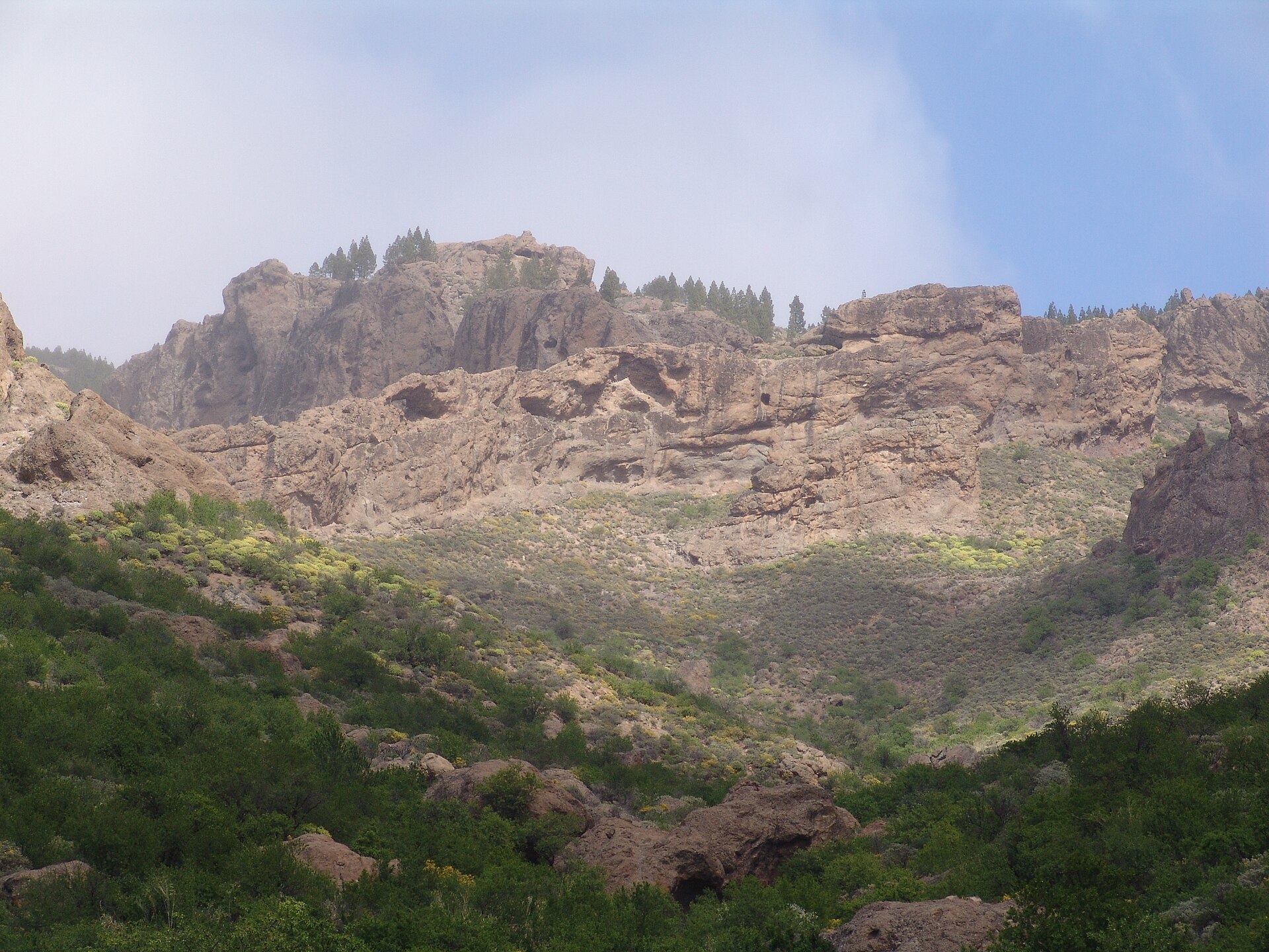
A terrestrial area, with mountains.
According to the European 1:1 million geological map (EGDI), the bedrock consists mainly of volcanic tuffs (69% of sampled points) and unconsolidated deposits (31%). These are mostly igneous rocks. The geological units date mainly from the Neogene (69% of sampled points).
Morros del Pinar, at 1,512 m (OpenStreetMap).
Morros del Pinar (1,512 m), Morro de las Vacas (1,433 m), Morro Guanil (1,381 m), Morro del Guirre (1,302 m) and Montaña de las Tórtolas (1,246 m) (OpenStreetMap).
Natura 2000 network (2 sites).
Nearest towns of over 50,000 people, as the crow flies: Las Palmas de Gran Canaria (25 km) and Santa Cruz de Tenerife (86 km). Nearest airport: Gran Canaria (LPA), about 19 km away.
Necrópolis de Arteara.
Yes. Waymarked hiking routes listed in OpenStreetMap: 5, including Camino de Santiago de Gran Canaria and Cruz Grande. The “S-57” route runs for about 8 km through the site, with some 840 m of ascent on its longest section.
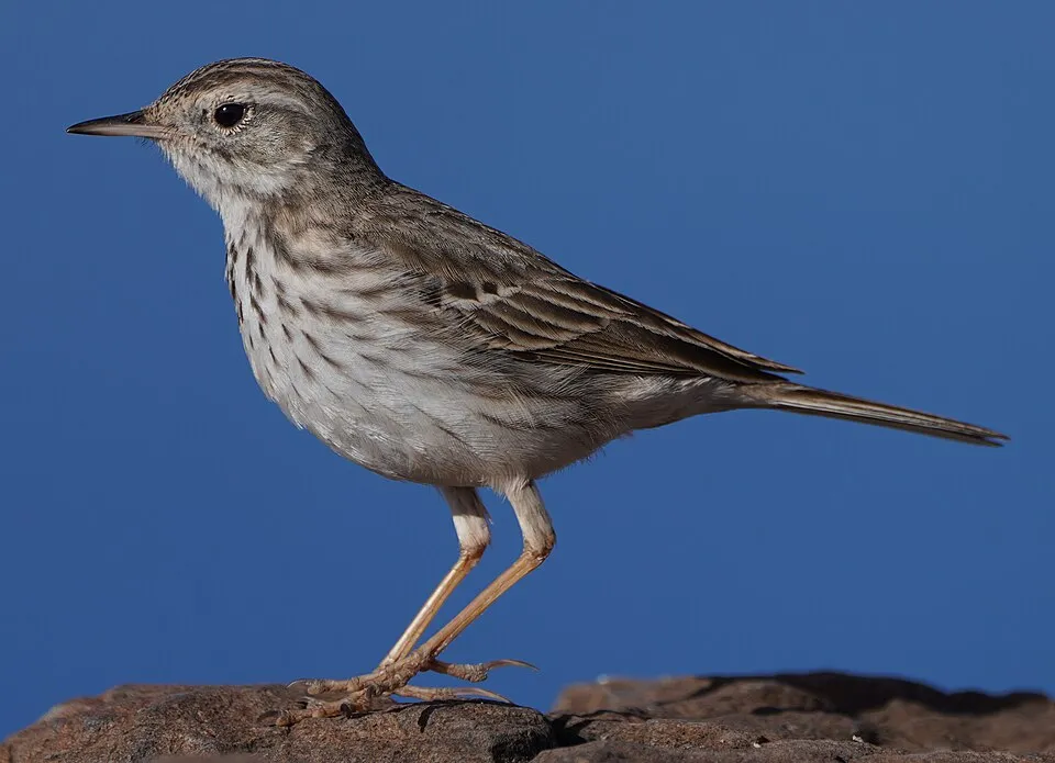
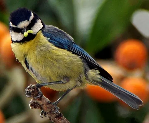
Among the species most often recorded on GBIF are Phylloscopus canariensis (Canary Islands Chiffchaff), Anthus berthelotii (Berthelot's Pipit), Cyanistes teneriffae (African Blue Tit) and Serinus canaria (Atlantic Canary).
© OpenStreetMap
Download the boundary: GeoJSON · GPX Boundary © OpenStreetMap contributors (ODbL).
According to the European 1:1 million geological map (EGDI), the bedrock consists mainly of volcanic tuffs (69% of sampled points) and unconsolidated deposits (31%). These are mostly igneous rocks. The geological units date mainly from the Neogene (69% of sampled points).
Terrain: Mapzen Terrain Tiles (SRTM, USGS)
share of the site in each elevation band (smoothed terrain model: summits are rounded off) · Terrain: Mapzen Terrain Tiles (SRTM, USGS)
Igneous rocks 69 % · Sedimentary rocks 31 % · Main age: Neogene (69%)
Source: EGDI 1:1M geological map (EuroGeoSurveys and national geological surveys), CC BY 4.0 · 16 sampled points within the site.
Data © OpenStreetMap contributors (ODbL)
According to CORINE Land Cover (2018), the site is mainly made up of sparsely vegetated land (51%), heath and scrub (40%) and forests (7%). Elevation ranges from about 330 m to 1,512 m (highest point: Morros del Pinar). Median elevation is 759 m, and 22% of the site lies above 1,000 m (SRTM elevation model). The terrain is steep: 21% of slopes exceed 30° (mean slope 21°). The 2 Natura 2000 sites overlapping the area list 4 habitats of European interest (1 priority), the most extensive being Canarian endemic pine forests, Thermo-Mediterranean and pre-desert scrub and siliceous rocky slopes with chasmophytic vegetation.
Based on occurrences aggregated by GBIF, several species are regularly recorded within the site. Among the most frequent are Phylloscopus canariensis (Canary Islands Chiffchaff), Anthus berthelotii (Berthelot's Pipit), Cyanistes teneriffae (African Blue Tit) and Serinus canaria (Atlantic Canary). The full list of documented taxa is shown below. The overlapping Natura 2000 sites list 5 species of European interest: 4 birds and 1 plant.
From the official forms of the 2 Natura 2000 sites overlapping the area (areas reported for each whole site).
Trumpeter Finch (Bucanetes githagineus) resident, Gran Canaria Great Spotted Woodpecker (Dendrocopos major thanneri) resident, Gran Canaria Blue Chaffinch (Fringilla polatzeki) resident, Black-crowned night heron (Nycticorax nycticorax)
Teline rosmarinifolia
Source: Natura 2000 standard data forms (EEA, CC-BY 4.0). Not exhaustive: sensitive species are not published.
Bird
14 records © Juan Emilio from Las Palmas de Gran Canaria, España · CC BY-SA 2.0
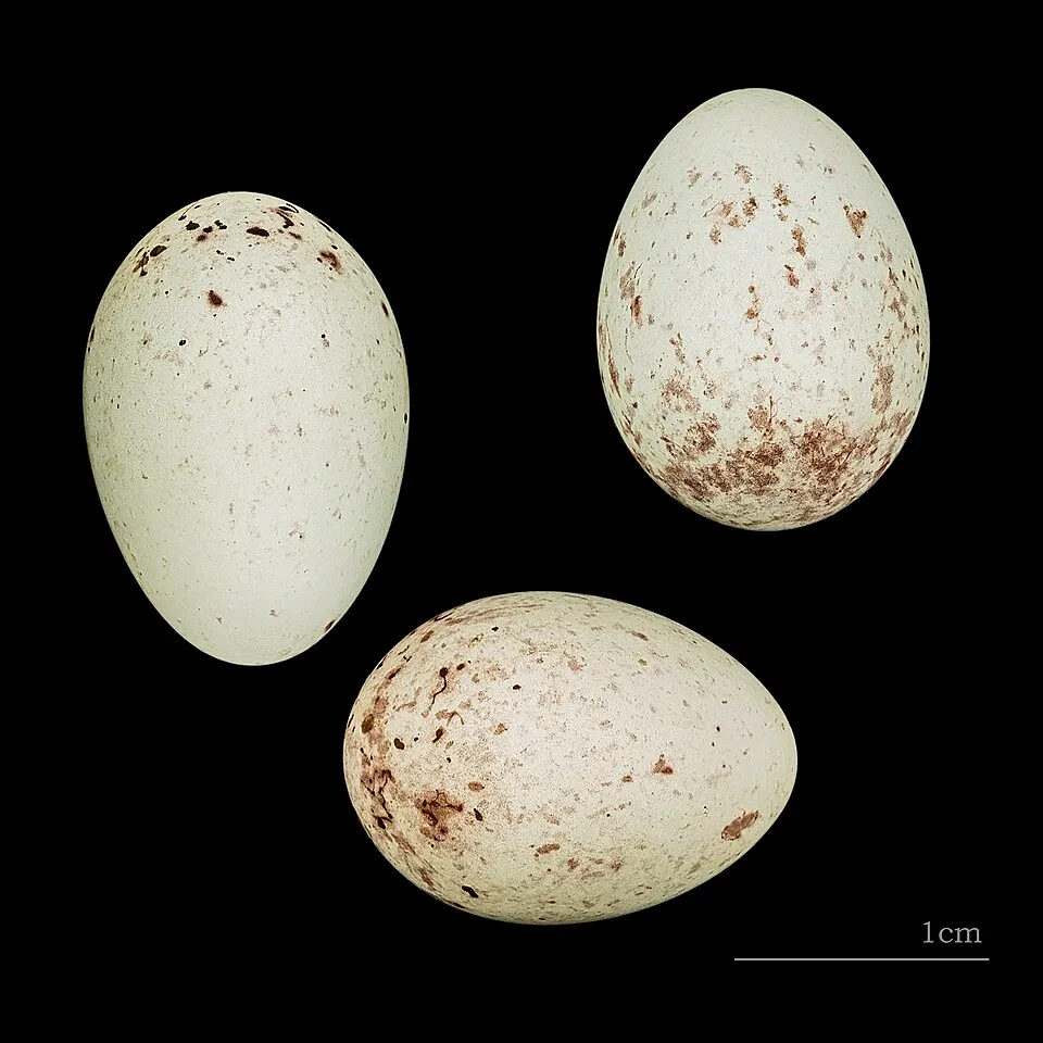
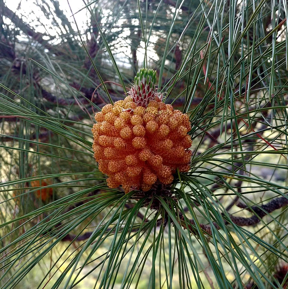

Occurrences documented via GBIF; they are neither an exhaustive inventory nor proof of current presence.
Records: GBIF.org (CC-BY). Names: Wikidata (CC0), GBIF. Photos: Wikimedia Commons.
The primary purpose of the site is to preserve its natural habitats and the biodiversity they support. The species recorded (Biodiversity tab) reflect its ecological value. The designations it holds frame its management and the control of land use.
According to CORINE Land Cover, land cover here remained almost unchanged between 1990 and 2018 (less than 0.5% of the area affected). At night, 24% of the area gives off artificial light detectable from space (NASA VIIRS Black Marble composite, 2016). According to the Natura 2000 forms, all 4 assessed habitats of European interest are in good condition.
0
No large fire mapped (fires over about 30 ha)
24%
of the area gives off artificial light visible from space
< 0.5%
of the area changed, 1990–2018 · CORINE
2
recorded since 2000
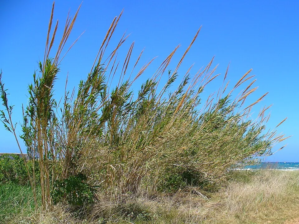 Giant Reed
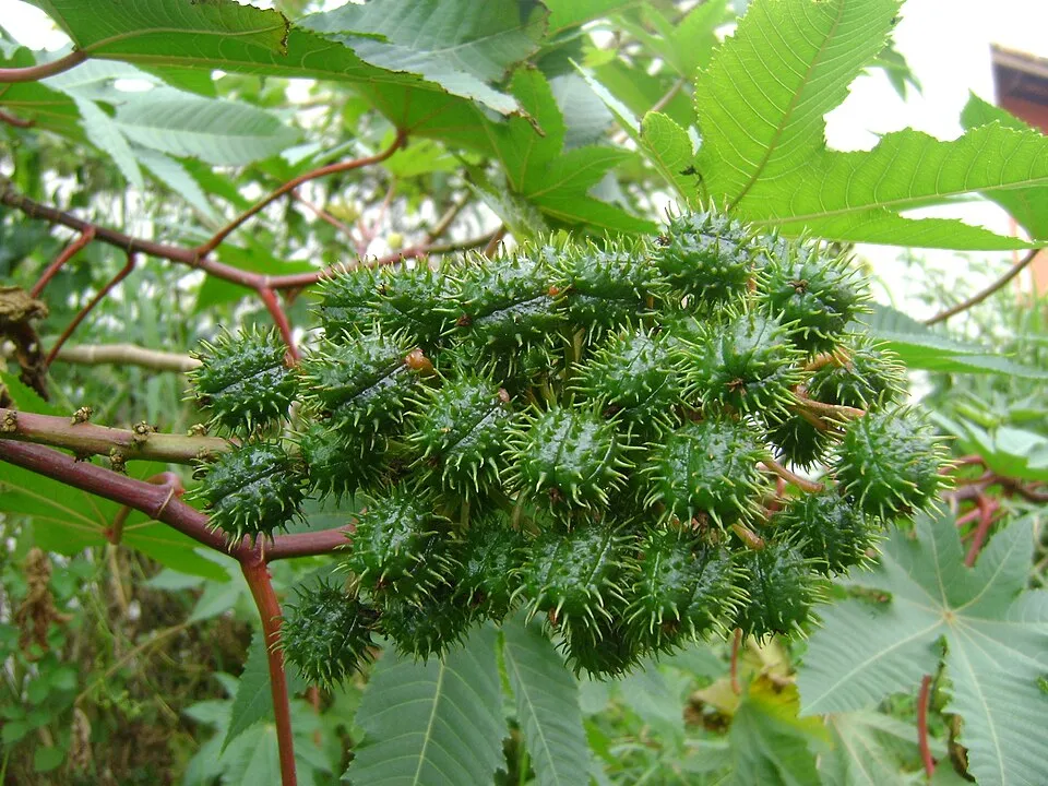 Castor oil plant
Photos: Giant Reed © H. Zell · CC BY-SA 3.0; Castor oil plant © Onjacktallcuca · Public domain
Sources: Global Forest Change (Hansen et al., University of Maryland, via Global Forest Watch, CC-BY 4.0); EFFIS, European Commission / Copernicus; NASA Black Marble 2016 (public domain); CORINE Land Cover 2018 (Copernicus) or MODIS.
CORINE Land Cover Change 1990–2018: generated using European Union's Copernicus Land Monitoring Service information (EEA), aggregated by Parkavela; DOI 10.2909/f30f1000-7cf8-43bb-872c-5eb093911b24.
Invasive alien species: Global Register of Introduced and Invasive Species (ISSG, CC BY 4.0); Union list, Regulation (EU) 1143/2014 (INBO, CC0); GBIF.org records (CC0 / CC BY 4.0), at least 2 per species.
5 waymarked routes listed, including:
Data © OpenStreetMap contributors (ODbL) · Wikidata (CC0)
7.5 km within the site ↗ 835 m↘ 38 m 307–1,115 m
up to T2 · mountain hiking
Tracks © OpenStreetMap contributors (ODbL), clipped to the boundary; elevation gain and profiles computed on the longest section from Mapzen Terrain Tiles (≈ 30 m), indicative only. Indicative difficulty (SAC scale, OpenStreetMap, via Waymarked Trails): check with the park.
Nearest towns of over 50,000 people, as the crow flies: Las Palmas de Gran Canaria (25 km) and Santa Cruz de Tenerife (86 km). Nearest airport: Gran Canaria (LPA), about 19 km away. About 370,000 people live within 20 km of the site boundary, 81,000 of them within 10 km; some 270 people are estimated to live inside (GHSL estimate, 2020). This population has grown by about 19% since 2000. Visitor information on site: Necrópolis de Arteara. Waymarked hiking routes listed in OpenStreetMap: 5, including Camino de Santiago de Gran Canaria and Cruz Grande. To plan a visit (access, opening periods, visitor rules), it is best to consult the official information from the managing body and the official website listed in this page's sources.
Source: OpenStreetMap (ODbL), Wikidata (CC0), October 2026.
Monthly records published on GBIF (CC-BY), relative to the busiest month; also reflects observer activity.
Data © OpenStreetMap contributors (ODbL), Wikidata (CC0) and the sources cited.