Bird
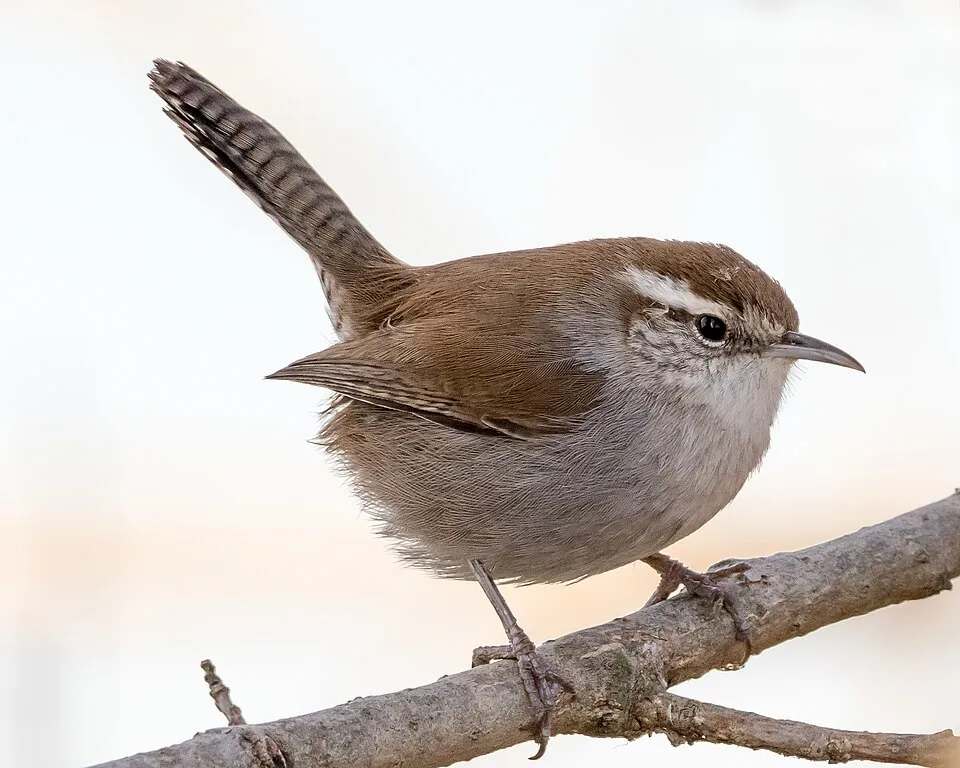
Bewick's Wren
Thryomanes bewickii12 records © Becky Matsubara from El Sobrante, California · CC BY 2.0
Mexico · Terrestrial
National park of 44 hectares in Mexico, established in 1939.
National park of 44 hectares in Mexico, established in 1939.
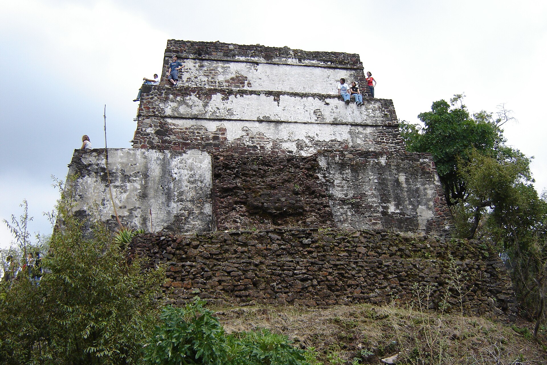
Sacromonte National Park is located in Mexico (North America). It is a predominantly terrestrial area. Established on 29 August 1939, it covers about 44 hectares.
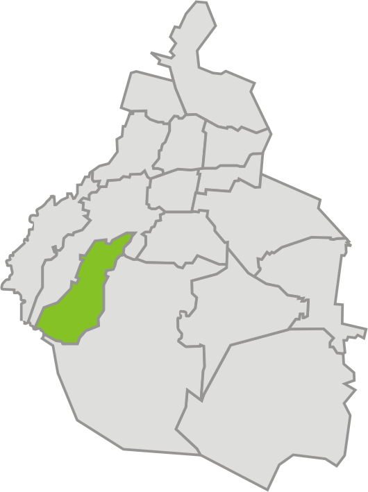
In Mexico (North America). Representative point: 19.1289° N, 98.7748° W.
About 44 hectares. It is the 47th largest of the 52 national parks in Mexico covered by Parkavela.
On 29 August 1939.
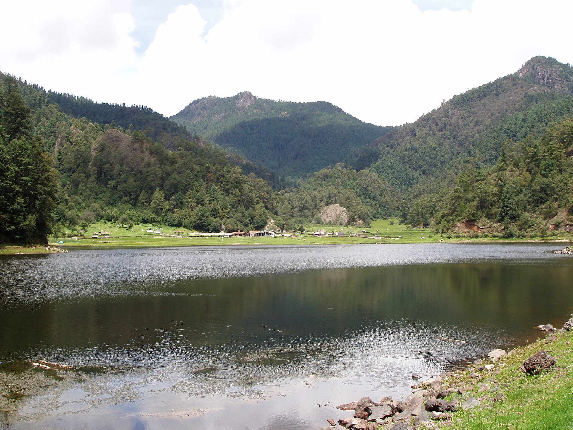
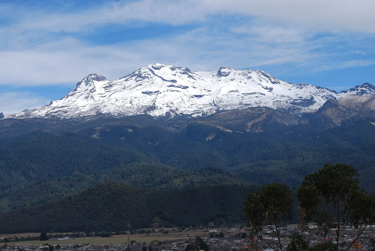
A terrestrial area, with mountains.
Best time to visit: from November to April, with average temperatures of 12 to 18 °C and moderate rainfall.
Nearest towns of over 50,000 people, as the crow flies: Mexico City (45 km) and Tenochtitlan (50 km). Nearest airport: Hermanos Serdán (PBC), about 42 km away.
Volcanes y Montañas MX. Excursiones y Expediciones.
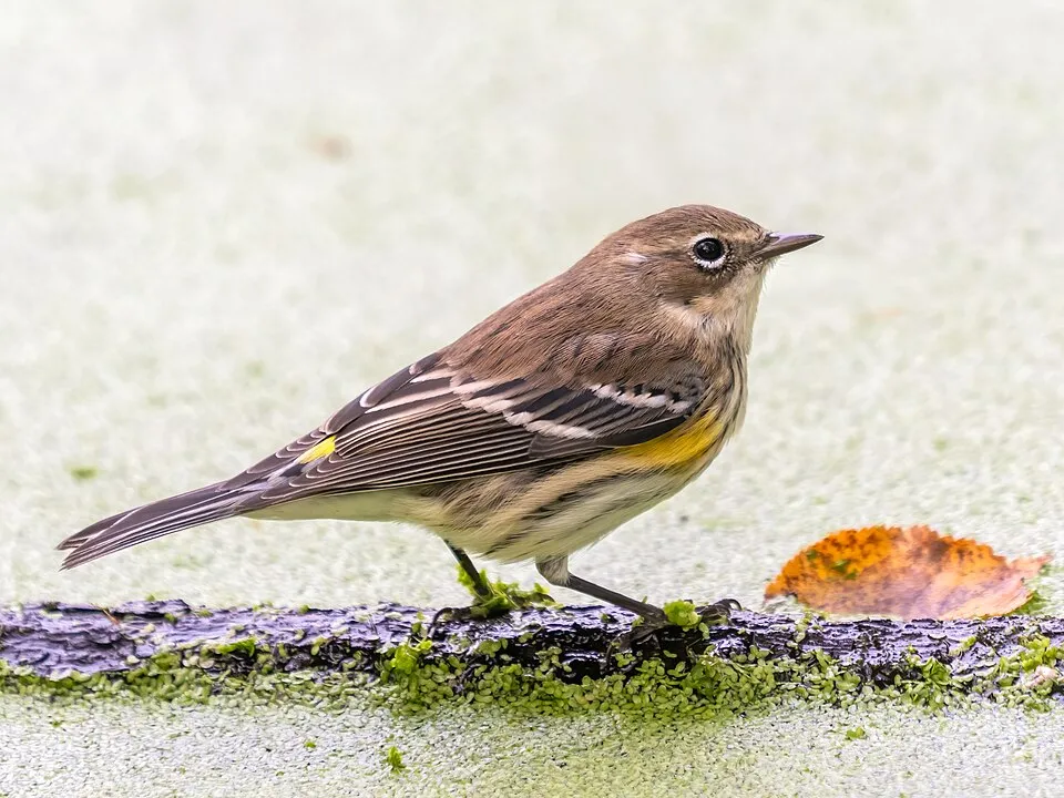
Among the species most often recorded on GBIF are Thryomanes bewickii (Bewick's Wren), Haemorhous mexicanus (House finch), Passer domesticus (House Sparrow) and Setophaga coronata (Myrtle Warbler).
© OpenStreetMap
Download the boundary: GeoJSON · GPX Boundary © OpenStreetMap contributors (ODbL).
The representative point of the site lies at around 2,552 m above sea level. Over the 1996–2025 period, the mean annual temperature is about 15.0 °C and total precipitation reaches roughly 1,928 mm per year. The warmest month is usually April, the coolest January, and the wettest September.
Terrain: Mapzen Terrain Tiles (SRTM, USGS)
share of the site in each elevation band (smoothed terrain model: summits are rounded off) · Terrain: Mapzen Terrain Tiles (SRTM, USGS)
● Mean temperature (°C) · ▮ Precipitation (mm)
Source: Copernicus ERA5-Land (C3S, doi:10.24381/cds.68d2bb30), monthly averages 1996–2025 interpolated to the representative point, temperatures adjusted for elevation.
Contains modified Copernicus Climate Change Service information 2026. Neither the European Commission nor ECMWF is responsible for any use that may be made of the Copernicus information or data it contains.
Elevation ranges from about 2,470 to 2,570 m (sampled elevations, SRTM). The terrain is steep: 20% of slopes exceed 30° (mean slope 21°).
Based on occurrences aggregated by GBIF, several species are regularly recorded within the site. Among the most frequent are Thryomanes bewickii (Bewick's Wren), Haemorhous mexicanus (House finch), Passer domesticus (House Sparrow) and Setophaga coronata (Myrtle Warbler). The full list of documented taxa is shown below.
Bird
12 records © Becky Matsubara from El Sobrante, California · CC BY 2.0



Bird
9 records © Mike's Birds from Riverside, CA, US · CC BY-SA 2.0

Occurrences documented via GBIF; they are neither an exhaustive inventory nor proof of current presence.
Records: GBIF.org (CC-BY). Names: Wikidata (CC0), GBIF. Photos: Wikimedia Commons.
The primary purpose of the site is to preserve its natural habitats and the biodiversity they support. The species recorded (Biodiversity tab) reflect its ecological value. Its status as a national park sets the regulatory framework for its protection.
At night, 100% of the area gives off artificial light detectable from space (NASA VIIRS Black Marble composite, 2016). Invasive alien species have been recorded within the site since 2000 (GBIF observations). Among them: Passer domesticus (House Sparrow), Columba livia (Rock Dove) and Streptopelia decaocto (Eurasian Collared Dove).
100%
of the area gives off artificial light visible from space
4
recorded since 2000
Photos: House Sparrow © Diliff · CC BY-SA 3.0; Rock Dove © william_stephens · CC BY 4.0; Eurasian Collared Dove © Dr. Raju Kasambe · CC BY-SA 4.0; Common Starling © PierreSelim · CC BY-SA 3.0
Sources: Global Forest Change (Hansen et al., University of Maryland, via Global Forest Watch, CC-BY 4.0); EFFIS, European Commission / Copernicus; NASA Black Marble 2016 (public domain); CORINE Land Cover 2018 (Copernicus) or MODIS.
Invasive alien species: Global Register of Introduced and Invasive Species (ISSG, CC BY 4.0); Union list, Regulation (EU) 1143/2014 (INBO, CC0); GBIF.org records (CC0 / CC BY 4.0), at least 2 per species.
Data © OpenStreetMap contributors (ODbL) · Wikidata (CC0)
Nearest towns of over 50,000 people, as the crow flies: Mexico City (45 km) and Tenochtitlan (50 km). Nearest airport: Hermanos Serdán (PBC), about 42 km away. About 520,000 people live within 20 km of the site boundary, 170,000 of them within 10 km (GHSL estimate, 2020). This population has grown by about 37% since 2000. Visitor information on site: Volcanes y Montañas MX. Excursiones y Expediciones. To plan a visit (access, opening periods, visitor rules), it is best to consult the official information from the managing body and the official website listed in this page's sources.
Source: OpenStreetMap (ODbL), Wikidata (CC0), November 2026.
Best time to visit: from November to April, with average temperatures of 12 to 18 °C and moderate rainfall. Precipitation peaks from May to September (up to 360 mm per month). These averages apply to the site's representative point (2,552 m); higher up it is markedly cooler and snow lasts longer. Day length ranges from about 10 h 59 min in December to 13 h 17 min in June. Wildlife records published on GBIF peak for birds (February) and plants (August). These peaks also reflect when observers are most active.
Source: Copernicus ERA5-Land (C3S), monthly averages 1996–2025 at the representative point, temperatures adjusted for elevation.
Contains modified Copernicus Climate Change Service information 2026. Neither the European Commission nor ECMWF is responsible for any use that may be made of the Copernicus information or data it contains.
Monthly records published on GBIF (CC-BY), relative to the busiest month; also reflects observer activity.
Data © OpenStreetMap contributors (ODbL), Wikidata (CC0) and the sources cited.
 Rock Dove
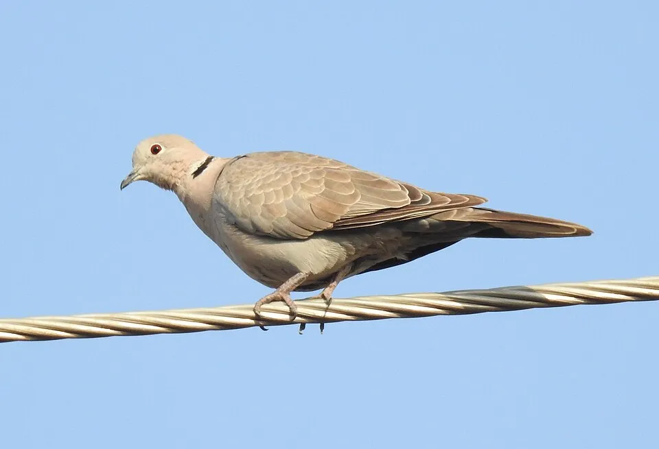 Eurasian Collared Dove
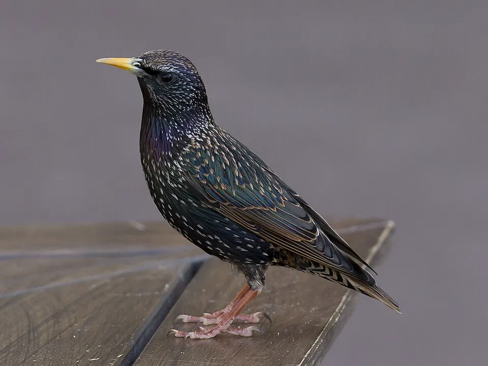 Common Starling