Bird
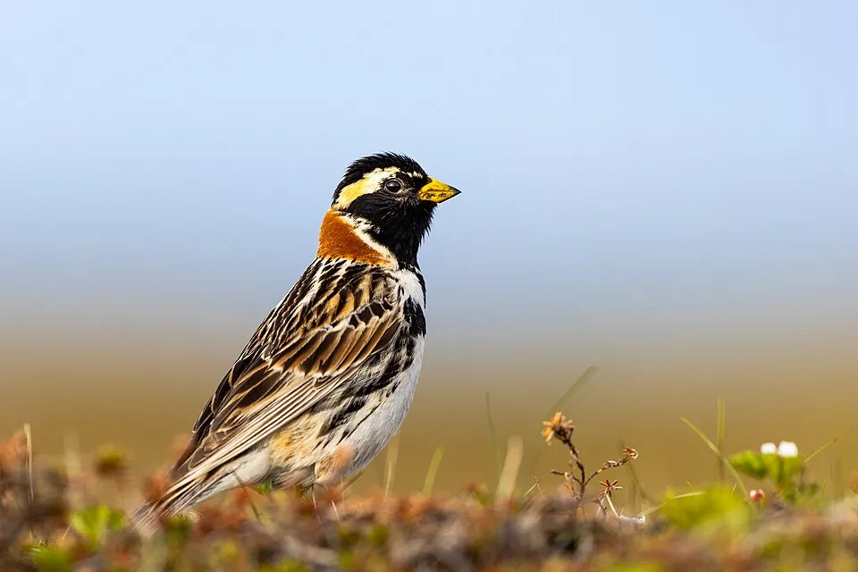
Lapland Longspur
Calcarius lapponicus131 records © Alaska Region U.S. Fish & Wildlife Service from Anchorage, United States · Public domain
Canada · Terrestrial
National park of 1,818,100 hectares in Canada, established in 1998.
National park of 1,818,100 hectares in Canada, established in 1998.
Tuktut Nogait National Park is located in Canada (North America). It is a predominantly terrestrial area. Established in 1998, it covers about 1,818,100 hectares. The site is managed by Parks Canada.
In Canada (North America). Representative point: 68.8187° N, 121.7490° W.
About 1,818,100 hectares (18,181 km²). It is the 8th largest of the 47 national parks in Canada covered by Parkavela.
In 1998.
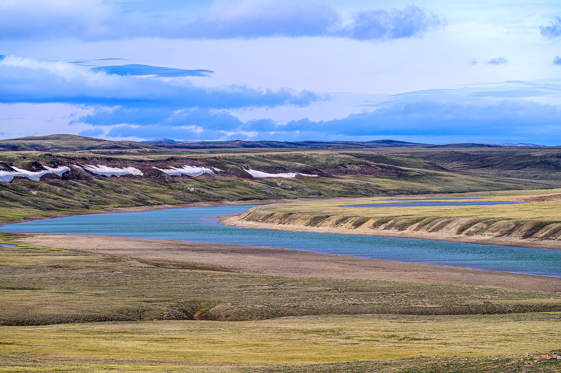
A terrestrial area, where land cover is dominated by grassland and meadows (92%).
Melville Hills H.P., at 869 m (OpenStreetMap).
Mildest period: July, with average temperatures of 10 to 11 °C.
Yes. According to NASA's MODIS satellites (2015–2025 average), snow covers most of the site from October to May, with about 250 snow-covered days a year on average. In midwinter, too dark for satellite measurements, snow cover is estimated from the neighbouring months.
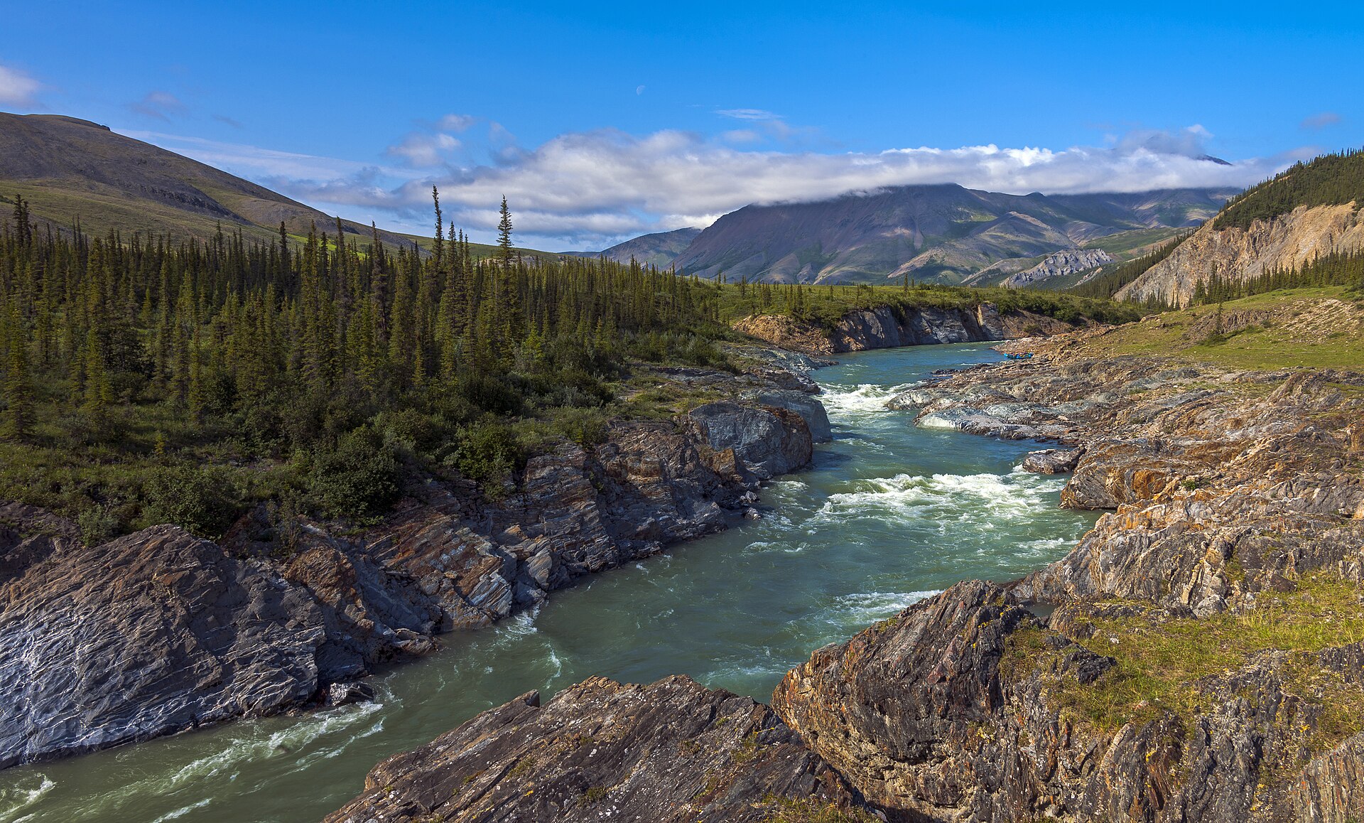
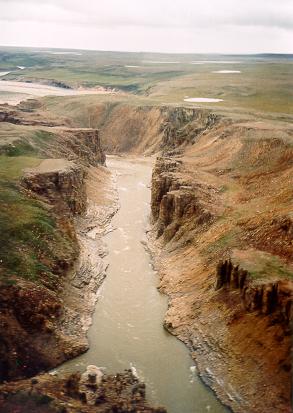
1 waterfall and 6 lakes and ponds, including La Roncière Falls, Erly Lake (509 m), Fish Lake (77 m) and Seven Islands Lake (1,050 m) (Wikidata).
Among the species most often recorded on GBIF are Parakiefferiella scandica, Tanytarsus lugens, Stictochironomus sticticus and Parakiefferiella fennica.
Parks Canada.
© OpenStreetMap
Download the boundary: GeoJSON · GPX Boundary © OpenStreetMap contributors (ODbL).
The representative point of the site lies at around 617 m above sea level. Over the 1996–2025 period, the mean annual temperature is about -10.8 °C and total precipitation reaches roughly 340 mm per year. The warmest month is usually July, the coolest January, and the wettest July.
Terrain: Mapzen Terrain Tiles (SRTM, USGS)
● Mean temperature (°C) · ▮ Precipitation (mm)
Source: Copernicus ERA5-Land (C3S, doi:10.24381/cds.68d2bb30), monthly averages 1996–2025 interpolated to the representative point, temperatures adjusted for elevation.
Contains modified Copernicus Climate Change Service information 2026. Neither the European Commission nor ECMWF is responsible for any use that may be made of the Copernicus information or data it contains.
average share of the site under snow · snowiest parts · ≈ 250 days a year
Snow cover: MODIS/Terra MOD10CM v61 (Hall & Riggs, 2021, NASA NSIDC DAAC, doi:10.5067/MODIS/MOD10CM.061), imagery from NASA GIBS (ESDIS); 2015–2025 average, grid of about 5 km.
According to the global MODIS land cover (NASA, 2024), the site is mainly made up of grassland and meadows (92%) and heath and scrub (7%). Elevation ranges from about 70 m to 869 m (highest point: Melville Hills H.P.).
Based on occurrences aggregated by GBIF, several species are regularly recorded within the site. Among the most frequent are Parakiefferiella scandica, Tanytarsus lugens, Stictochironomus sticticus and Parakiefferiella fennica. The full list of documented taxa is shown below.
Bird
131 records © Alaska Region U.S. Fish & Wildlife Service from Anchorage, United States · Public domain
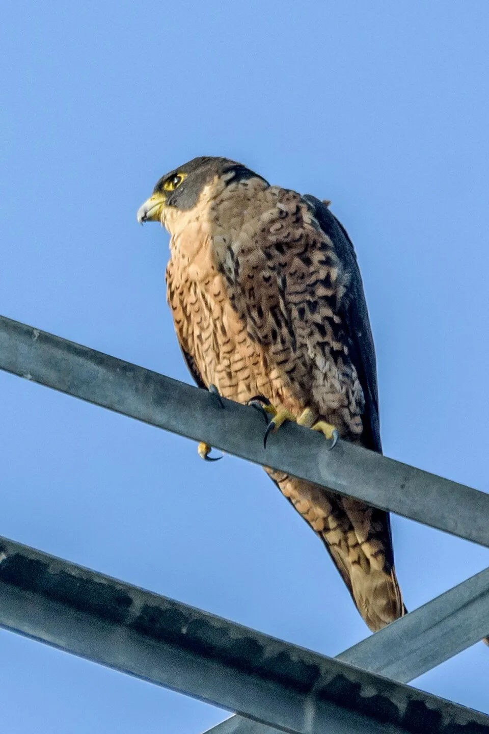
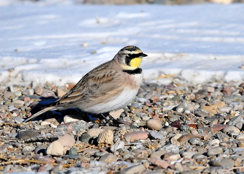
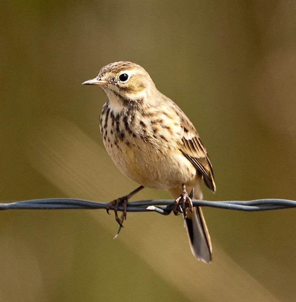
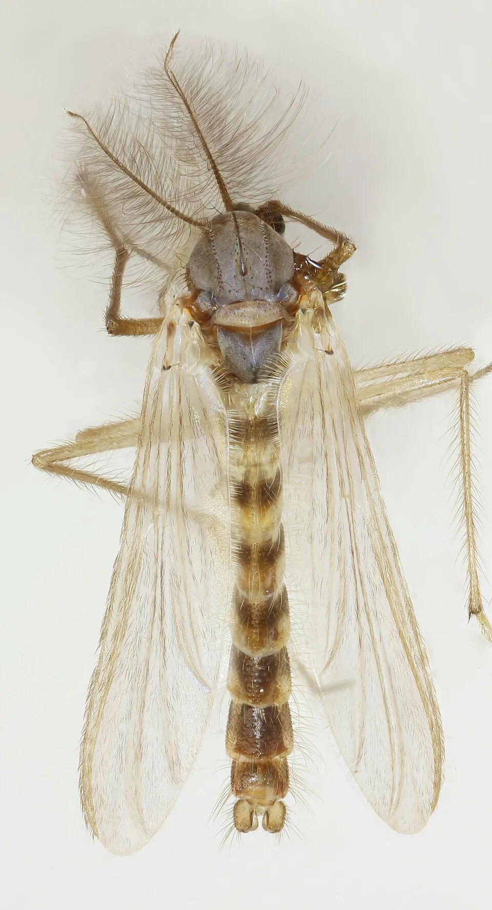

Occurrences documented via GBIF; they are neither an exhaustive inventory nor proof of current presence.
Records: GBIF.org (CC-BY). Names: Wikidata (CC0), GBIF. Photos: Wikimedia Commons.
The primary purpose of the site is to preserve its natural habitats and the biodiversity they support. The species recorded (Biodiversity tab) reflect its ecological value. Its status as a national park sets the regulatory framework for its protection.
At night, the area gives off virtually no artificial light detectable from space (NASA VIIRS Black Marble composite, 2016).
0%
of the area gives off artificial light visible from space
Sources: Global Forest Change (Hansen et al., University of Maryland, via Global Forest Watch, CC-BY 4.0); EFFIS, European Commission / Copernicus; NASA Black Marble 2016 (public domain); CORINE Land Cover 2018 (Copernicus) or MODIS.
1 waterfall · 6 lakes and ponds
Data © OpenStreetMap contributors (ODbL)
To see: 1 waterfall and 6 lakes and ponds, including La Roncière Falls, Erly Lake (509 m), Fish Lake (77 m) and Seven Islands Lake (1,050 m). To plan a visit (access, opening periods, visitor rules), it is best to consult the official information from the managing body (Parks Canada) and the official website listed in this page's sources.
Source: OpenStreetMap (ODbL), Wikidata (CC0), October 2026.
Mildest period: July, with average temperatures of 10 to 11 °C. Average temperatures drop below 0 °C from October to May: frost is common. Precipitation peaks in July (up to 60 mm per month). According to NASA's MODIS satellites (2015–2025 average), snow covers most of the site from October to May, with about 250 snow-covered days a year on average. In midwinter, too dark for satellite measurements, snow cover is estimated from the neighbouring months. Day length ranges from about 0 h 00 min in December to 24 h 00 min in June. Wildlife records published on GBIF peak for birds (July) and plants (July). These peaks also reflect when observers are most active.
Source: Copernicus ERA5-Land (C3S), monthly averages 1996–2025 at the representative point, temperatures adjusted for elevation.
Contains modified Copernicus Climate Change Service information 2026. Neither the European Commission nor ECMWF is responsible for any use that may be made of the Copernicus information or data it contains.
Monthly records published on GBIF (CC-BY), relative to the busiest month; also reflects observer activity.
Data © OpenStreetMap contributors (ODbL), Wikidata (CC0) and the sources cited.