
Bird
Semipalmated Plover: where to see it
Charadrius semipalmatus
This bird species is recorded in 20 protected areas of the atlas. Within the atlas countries, it is mostly observed in France, Portugal and the Netherlands (5 countries in all). Records peak from August to November. It has a wingspan of 43–52 cm.
Best time to see it: August–November
Records published on GBIF by month (CC0 and CC BY 4.0 licences only), in the atlas countries, all years combined; they also reflect observer activity.
Key facts
- Wingspan
- 43–52 cm Wikidata, after Handbook of the Birds of the World
Distribution
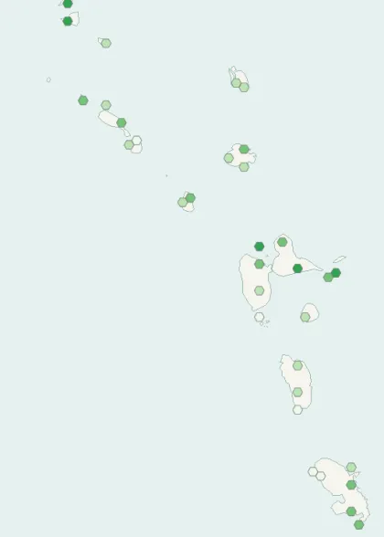
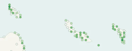
Records published on GBIF (CC0 and CC BY 4.0 licences): the darker the shade, the more records there are; they also reflect observation effort.
Atlas countries where it is recorded
Listen
-
0:04 · © Jonathon Jongsma · CC BY-SA 3.0 · Wikimedia Commons · Original file
-
0:04 · © Jonathon Jongsma · CC BY-SA 3.0 · Wikimedia Commons · Original file
From Wikipedia
The semipalmated plover (Charadrius semipalmatus) is a small plover. Charadrius is a Late Latin word for a yellowish bird mentioned in the fourth-century Vulgate. It derives from Ancient Greek kharadrios a bird found in ravines and river valleys (kharadra, "ravine"). The specific semipalmatus is Latin and comes from semi, "half" and palma, "palm". Like the English name, this refers to its only partially webbed feet.
Source: Wikipedia, article “Semipalmated plover” (version of October 17, 2026) · history and authors · licence CC BY-SA 4.0
Protected areas where it is recorded

5,168 records

2,589 records
2,041 records
2,037 records

858 records

656 records

624 records

532 records

434 records

430 records
339 records
328 records
296 records

269 records

191 records
60 records

47 records
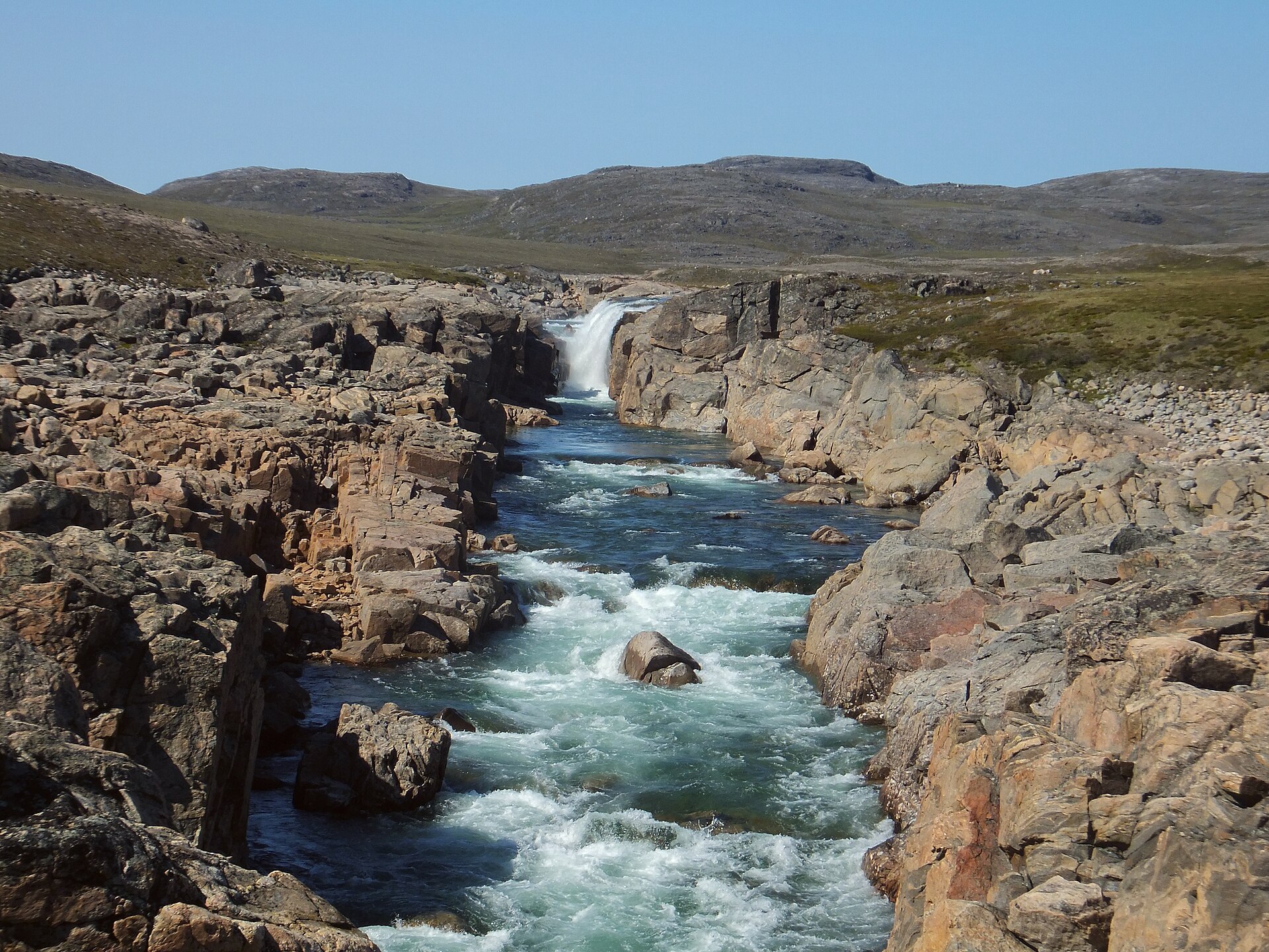
29 records
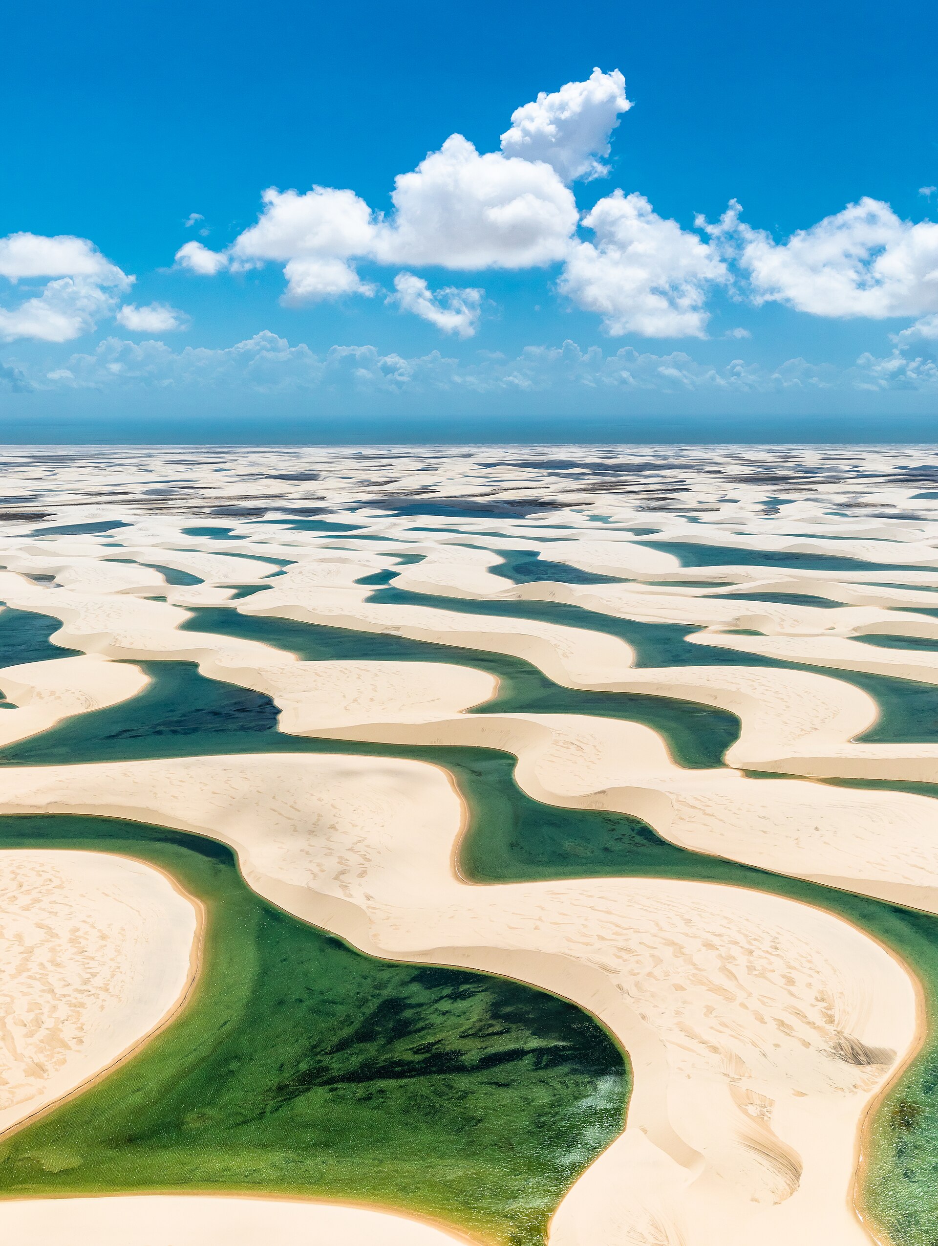
23 records

10 records
Other species to discover
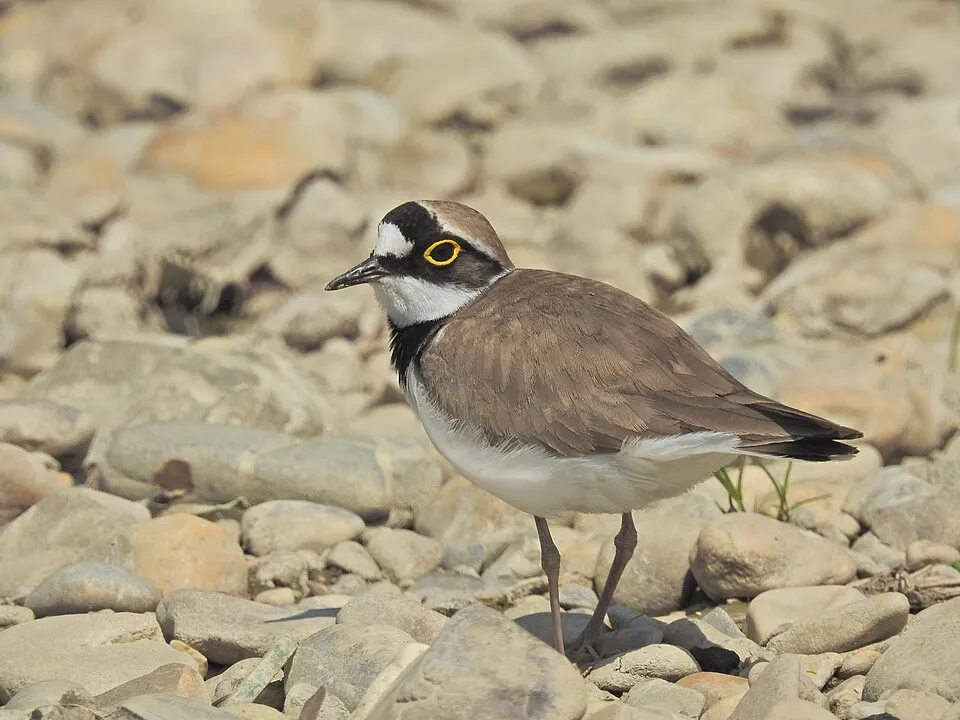 Little Ringed Plover
Charadrius dubius Same genus
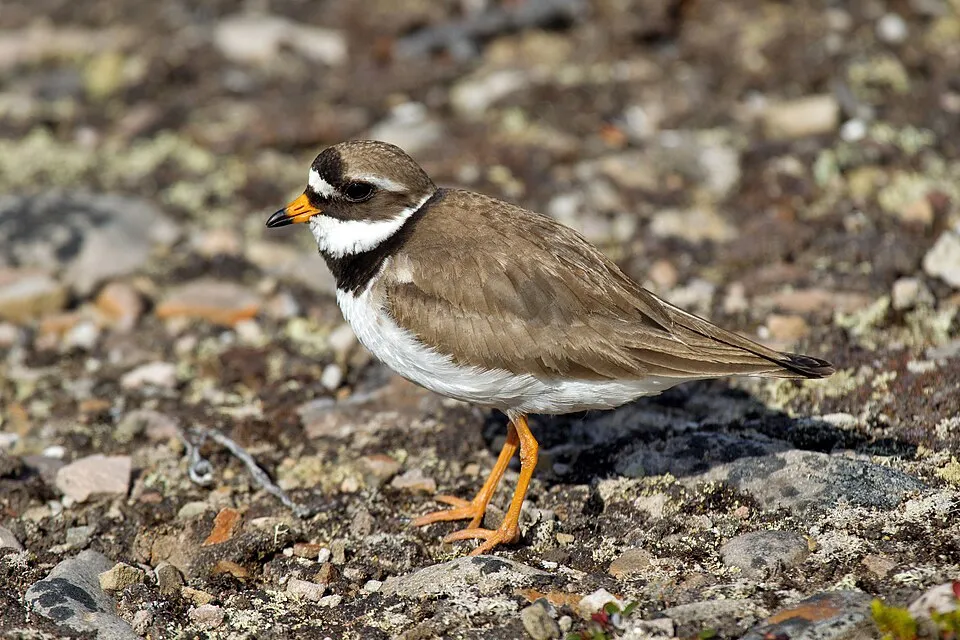 Common Ringed Plover
Charadrius hiaticula Same genus
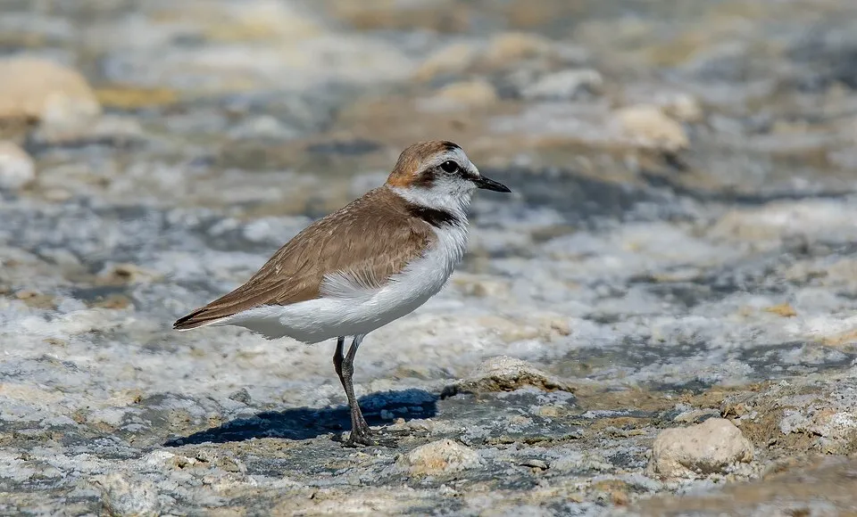 Kentish Plover
Charadrius alexandrinus Same genus
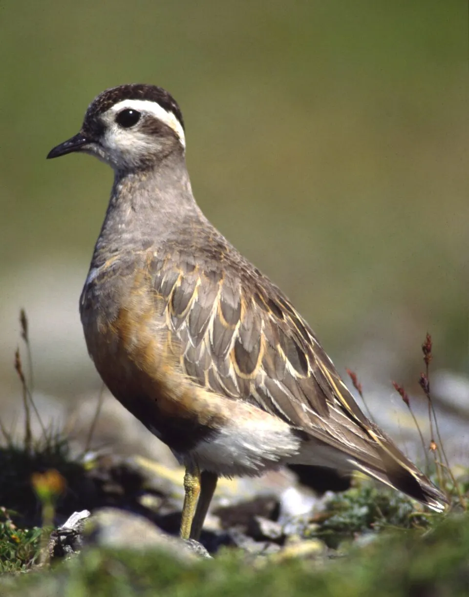 Eurasian Dotterel
Charadrius morinellus Same genus
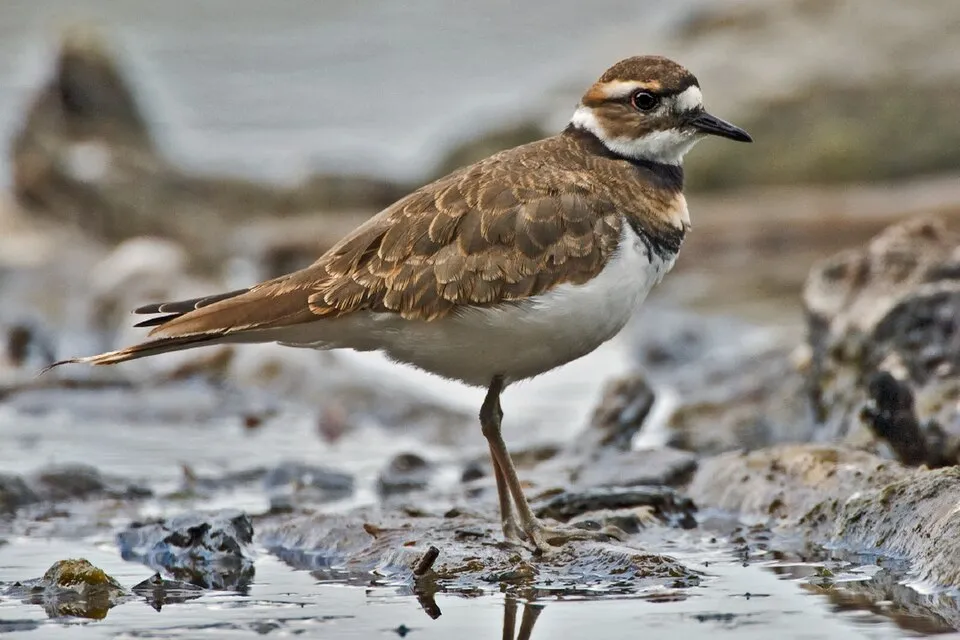 Killdeer
Charadrius vociferus Same genus
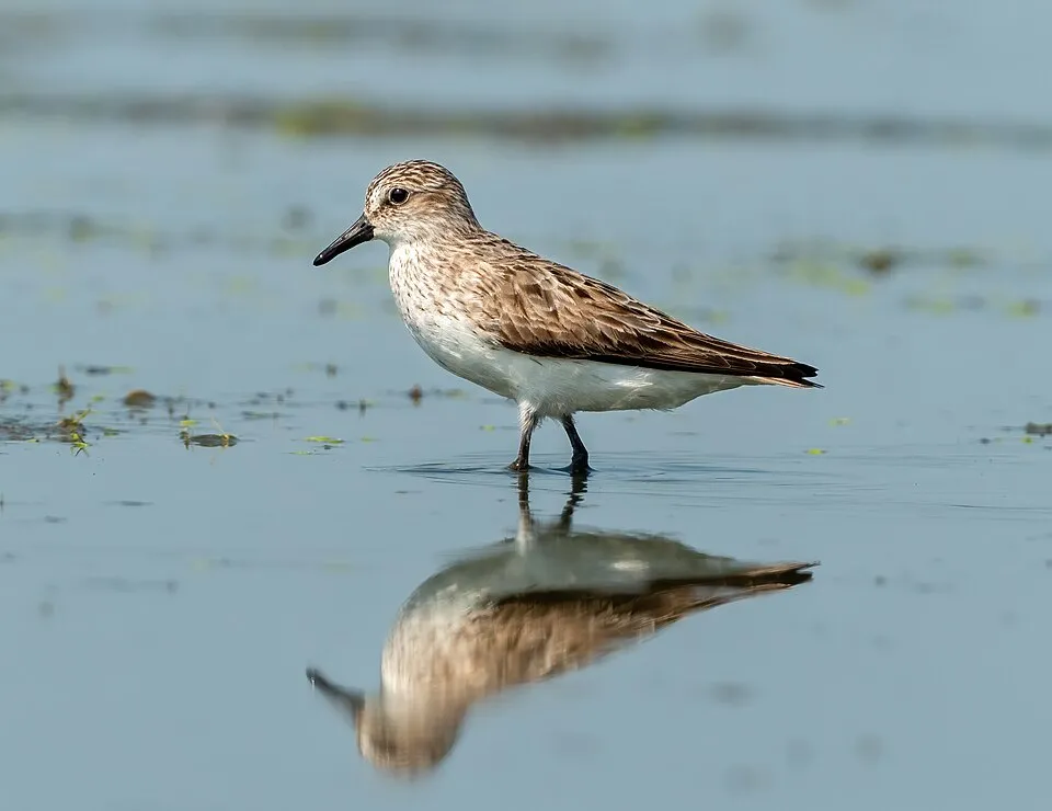 Semipalmated Sandpiper
Calidris pusilla 9 places in common
Sources and credits
- Presence: most-recorded species of each place on GBIF and species of Community interest in the Natura 2000 forms (EEA, CC-BY 4.0); absence from the list does not mean the species is absent.
- Common names: Wikidata (CC0) and GBIF.
- Photos and sounds: Wikimedia Commons, author and licence given for each file.
- Classification: GBIF Backbone Taxonomy (GBIF Secretariat), CC BY 4.0, doi:10.15468/39omei.
- Countries, elevations, months and maps: GBIF.org, CC0 or CC BY 4.0 occurrences only, accessed October 23, 2026, GBIF.org.
- Base map: Natural Earth (public domain).
- Excerpt: Wikipedia, CC BY-SA 4.0 (full credit below the excerpt).
- Key facts: Wikidata (CC0), with the references cited under each value.