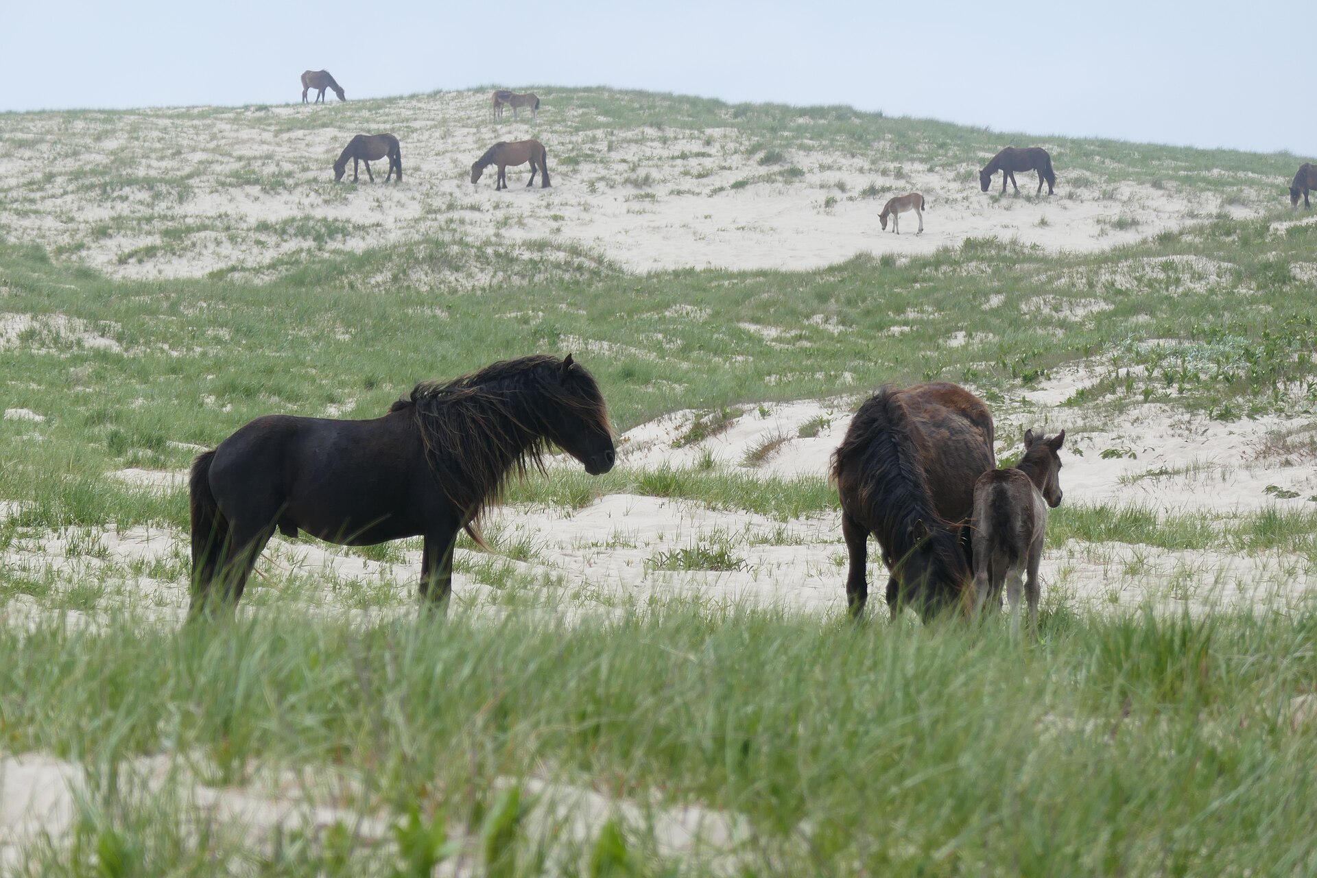
Canada · Terrestrial
Sable Island National Park Reserve
National park of 2,984 hectares in Canada, established in 2013.
Overview
National park of 2,984 hectares in Canada, established in 2013.
Sable Island National Park Reserve is located in Canada (North America). It is a predominantly terrestrial area. Established on 1 December 2013, it covers about 2,984 hectares. The site is managed by Parks Canada.
In our collections
Frequently asked questions
Where is Sable Island National Park Reserve?
In Canada (North America). Representative point: 43.9353° N, 59.9069° W.
How large is Sable Island National Park Reserve?
About 2,984 hectares (30 km²). It is the 43rd largest of the 47 national parks in Canada covered by Parkavela. About 300 ha are at sea.
When was Sable Island National Park Reserve established?
On 1 December 2013.
What habitats and landscapes does Sable Island National Park Reserve include?
A terrestrial area, with coasts.
Is there snow in Sable Island National Park Reserve?
Yes. According to NASA's MODIS satellites (2015–2025 average), snow covers the site about 50 days a year, mostly from November to March.
What is there to see in Sable Island National Park Reserve?
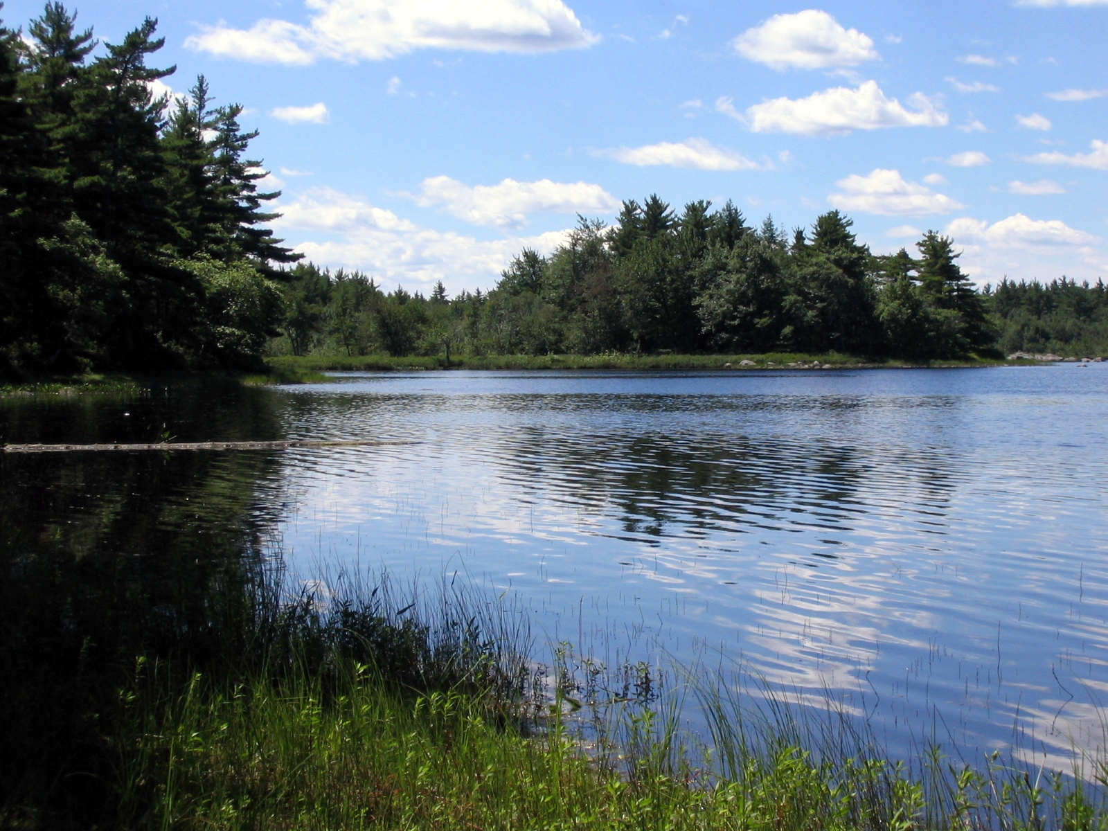
Lake Wallace (Wikidata).
What is the nearest airport to Sable Island National Park Reserve?
Nearest airport: Sydney/J.A. Douglas McCurdy (YQY), about 236 km away.
Which species can be seen in Sable Island National Park Reserve?
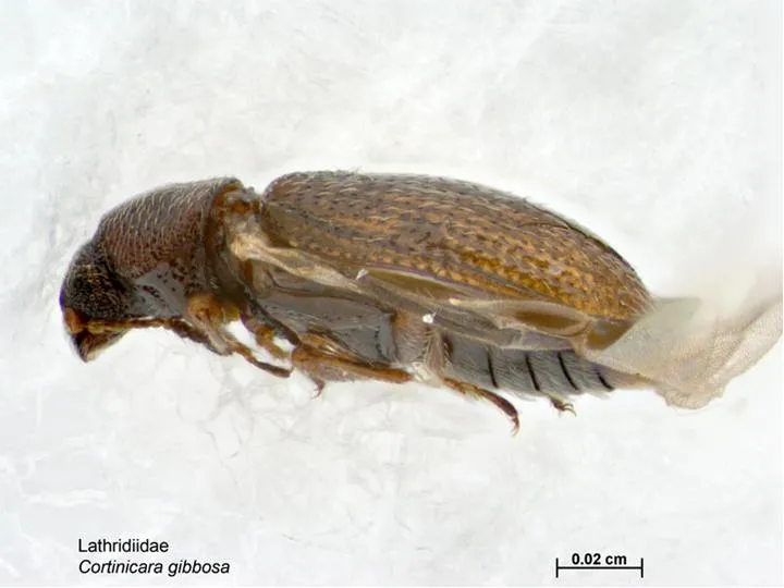
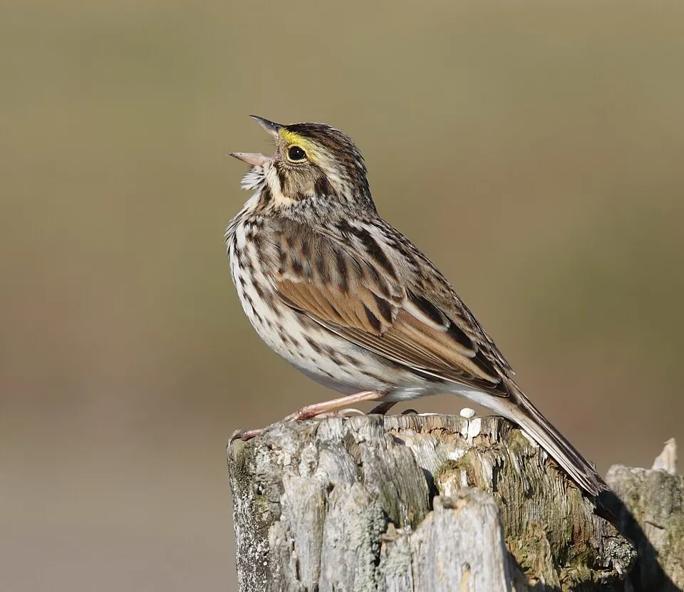
Among the species most often recorded on GBIF are Neotelphusa querciella, Cortinicara gibbosa, Passerculus sandwichensis (Savannah Sparrow) and Corynoptera trepida.
Who manages Sable Island National Park Reserve?
Parks Canada.
What is the official website of Sable Island National Park Reserve?
© OpenStreetMap
Download the boundary: GeoJSON · GPX Boundary © OpenStreetMap contributors (ODbL).
Geography
The representative point of the site lies at around 7 m above sea level.
Area
- Area
- 2,984 ha
- Elevation
- 7 m
- Snow cover
- ≈ 50 days a year
- Coordinates
- 43.9353, -59.9069
Snow cover measured by satellite
J
F
M
A
M
J
J
A
S
O
N
D
average share of the site under snow · snowiest parts · ≈ 50 days a year
Snow cover: MODIS/Terra MOD10CM v61 (Hall & Riggs, 2021, NASA NSIDC DAAC, doi:10.5067/MODIS/MOD10CM.061), imagery from NASA GIBS (ESDIS); 2015–2025 average, grid of about 5 km.
Natural habitats
According to the global MODIS land cover (NASA, 2024), the site is mainly made up of grassland and meadows (55%), marshes and bogs (40%) and bare rock and scree (5%). The site borders the coast.
Biodiversity
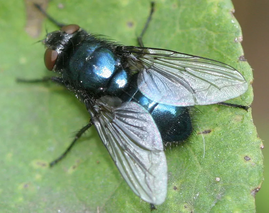
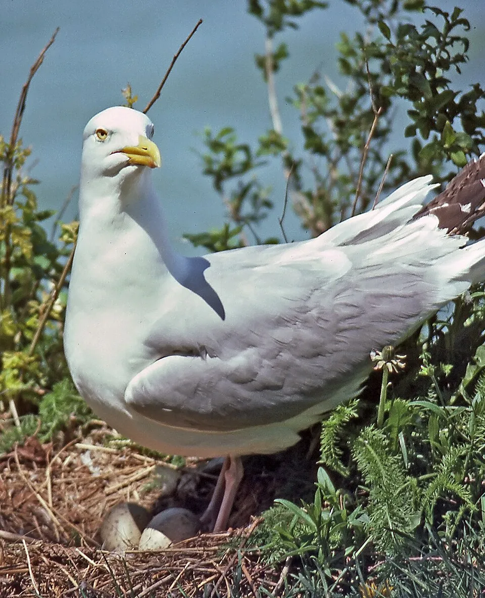
Based on occurrences aggregated by GBIF, several species are regularly recorded within the site. Among the most frequent are Neotelphusa querciella, Cortinicara gibbosa, Passerculus sandwichensis (Savannah Sparrow) and Corynoptera trepida. The full list of documented taxa is shown below.
Species to look out for

Observed species
Occurrences documented via GBIF; they are neither an exhaustive inventory nor proof of current presence.
- Neotelphusa querciella · 1558
- Cortinicara gibbosa · 1528
- Savannah Sparrow · Passerculus sandwichensis · 985
- Corynoptera trepida · 836
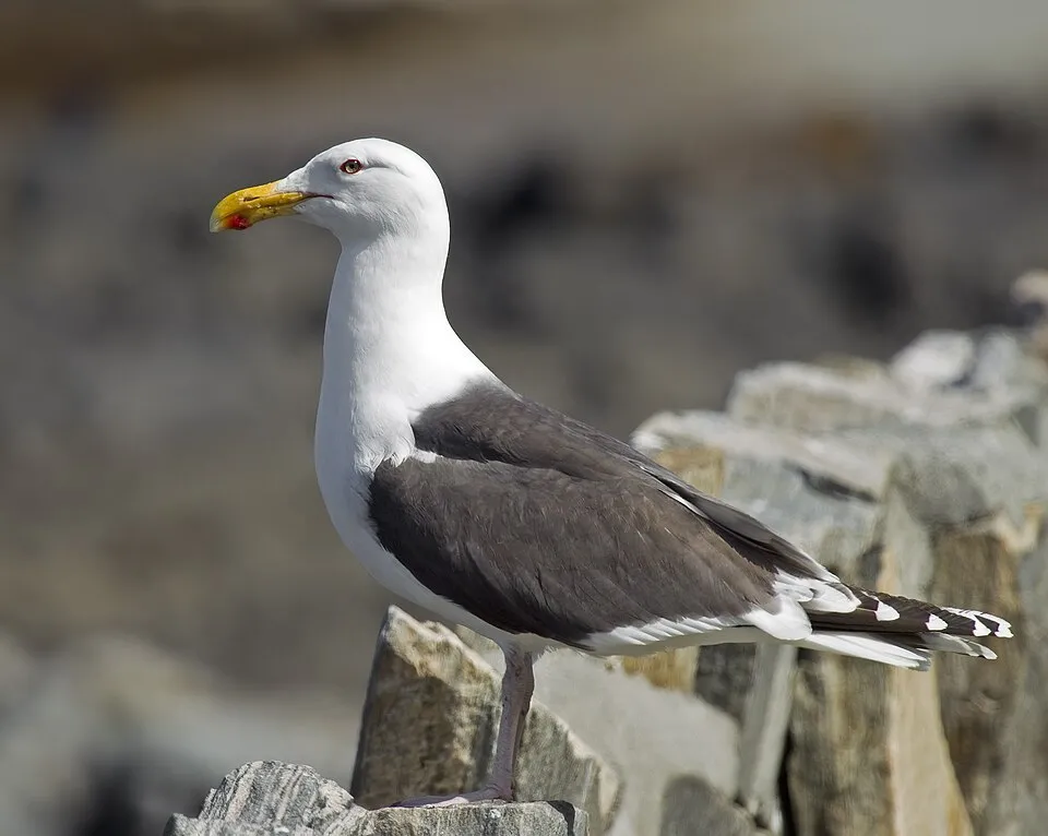
- Great Black-backed Gull · Larus marinus · 812
- Blackbottle · Protophormia terraenovae · 806
- American Herring Gull · Larus smithsonianus · 784
- Entomobrya multifasciata · 764
- Ooctonus notatus · 740
- Notocelia Moth · Notocelia culminana · 667
- Diplolepis rosaefolii · 636
- Bradysia trivittata · 546
+18 more species
- Delia linearis · 518
- American Black Duck · Anas rubripes · 514
- Common Starling · Sturnus vulgaris · 503
- Sanderling · Calidris alba · 490
- Bradysia flavipila · 486
- Least Sandpiper · Calidris minutilla · 450
- Common Tern · Sterna hirundo · 450
- Tufted Apple Bud Moth · Platynota idaeusalis · 415
- Stigmella myricafoliella · 411
- Glyphidocera septentrionella · 393
- Helina troene · 385
- Black-and-gray Leaf-cutter Bee · Megachile melanophaea · 378
- Nova Scotia Metallic-sweat Bee · Lasioglossum novascotiae · 350
- Greater Yellowlegs · Tringa melanoleuca · 347
- Myrtle Warbler · Setophaga coronata · 346
- Semipalmated Plover · Charadrius semipalmatus · 328
- Cedar Waxwing · Bombycilla cedrorum · 311
- White-rumped Sandpiper · Calidris fuscicollis · 300
Records: GBIF.org (CC-BY). Names: Wikidata (CC0), GBIF. Photos: Wikimedia Commons.
Conservation challenges
The primary purpose of the site is to preserve its natural habitats and the biodiversity they support. The species recorded (Biodiversity tab) reflect its ecological value. Its status as a national park sets the regulatory framework for its protection.
At night, the area gives off virtually no artificial light detectable from space (NASA VIIRS Black Marble composite, 2016).
Pressure indicators
Light at night
0%
of the area gives off artificial light visible from space
DarkLit
Sources: Global Forest Change (Hansen et al., University of Maryland, via Global Forest Watch, CC-BY 4.0); EFFIS, European Commission / Copernicus; NASA Black Marble 2016 (public domain); CORINE Land Cover 2018 (Copernicus) or MODIS.
Practical information
Cities and airport
- Airport: Sydney/J.A. Douglas McCurdy (YQY)
236 km as the crow flies
Data © OpenStreetMap contributors (ODbL) · Wikidata (CC0)
Access and visiting
Nearest airport: Sydney/J.A. Douglas McCurdy (YQY), about 236 km away. To see: Lake Wallace. To plan a visit (access, opening periods, visitor rules), it is best to consult the official information from the managing body (Parks Canada) and the official website listed in this page's sources.
Source: OpenStreetMap (ODbL), Wikidata (CC0), October 2026.
When to visit
According to NASA's MODIS satellites (2015–2025 average), snow covers the site about 50 days a year, mostly from November to March.
Wildlife records calendar
JFMAMJJASOND
Birds
Plants
Butterflies & moths
Monthly records published on GBIF (CC-BY), relative to the busiest month; also reflects observer activity.
Gallery
© Paul Gierszewski · CC BY-SA 4.0
© Ryan Sharpe · CC BY-SA 4.0
© Paul Gierszewski · CC BY-SA 4.0
© Ziobrop · CC BY-SA 4.0
© Paul Gierszewski · CC BY-SA 4.0
© NASA Earth RIght Now · Public domain
Sources and licences
- Wikidata: Q4133141
- OpenStreetMap: relation 9418078
- Official website: http://www.pc.gc.ca/eng/pn-np/ns/sable/index.aspx
- Wikipedia: en.wikipedia.org/wiki/Sable_Island_National_Park_Reserve
- WDPA: 555566941
References
- registry.opendata.aws: elevation of the reference point · PD
- lpdaac.usgs.gov: land cover · PD
- doi.org: population around the site · CC-BY-4.0
- naturalearthdata.com: sea share · PD
- wikidata.org: official area, establishment date, protected heritage, managing body, nearby cities and airport, access and peaks, lake depths, places to see, official website · CC0-1.0
- en.eurovelo.com: EuroVelo cycle routes · ODbL-1.0
- cycling.waymarkedtrails.org: cycle routes · ODbL-1.0
- opentopodata.org: elevations · PD
- globalforestwatch.org: tree cover loss · CC-BY-4.0
- gbif.org: seasonality of sightings, invasive alien species, observed species · CC-BY-4.0
- openstreetmap.org: official name, access and peaks · ODbL-1.0
- earthobservatory.nasa.gov: night light · PD
- registry.opendata.aws: detailed relief · OGL-CA
- nsidc.org: snow cover · PD
- wikidata.org: Wikipedia article · CC-BY-SA-4.0
Data © OpenStreetMap contributors (ODbL), Wikidata (CC0) and the sources cited.