Canada · Mixed
Pacific Rim National Park Reserve
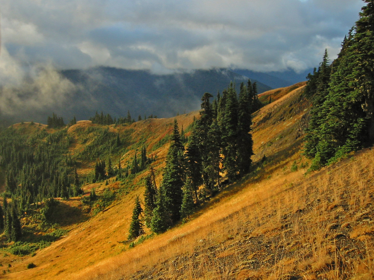
National park of 51,000 hectares in Canada, established in 2001.
Overview
National park of 51,000 hectares in Canada, established in 2001.
Pacific Rim National Park Reserve is located in Canada (North America). It covers both land and sea. Established in 2001, it covers about 51,000 hectares. The site is managed by Parks Canada.
Protections and designations
UNESCO Biosphere Reserve
In our collections
Frequently asked questions
Where is Pacific Rim National Park Reserve?
In Canada (North America). Representative point: 48.9833° N, 125.6667° W.
How large is Pacific Rim National Park Reserve?
About 51,000 hectares (510 km²). It is the 31st largest of the 47 national parks in Canada covered by Parkavela. About 19,000 ha are at sea.
When was Pacific Rim National Park Reserve established?
In 2001.
What habitats and landscapes does Pacific Rim National Park Reserve include?
An area spanning land and sea, with forests and coasts.
What is the highest point of Pacific Rim National Park Reserve?
Hobiton Ridge, at 799 m (OpenStreetMap).
What are the main summits of Pacific Rim National Park Reserve?
Hobiton Ridge (799 m), Pandora Peak (469 m), Nitinat Hill (421 m), Nitinat Cone (407 m) and Radar Hill (123 m) (OpenStreetMap).
When is the best time to visit Pacific Rim National Park Reserve?
Best time to visit: from May to September, with average temperatures of 11 to 17 °C and moderate rainfall.
Is there snow in Pacific Rim National Park Reserve?
Yes. According to NASA's MODIS satellites (2015–2025 average), snow covers most of the site from November to February, with about 90 snow-covered days a year on average.
What is there to see in Pacific Rim National Park Reserve?
1 waterfall and 11 lakes and ponds, including Tsusiat Falls, Hitchie Lake, Hobiton Lake and Little Squalicum Lake (Wikidata).
What is the nearest large city to Pacific Rim National Park Reserve?
Nearest towns of over 50,000 people, as the crow flies: Nanaimo (72 km) and Victoria (77 km). Nearest airport: Nanaimo (YCD), about 65 km away.
Where can I get visitor information on site?
Centre d'accueil Kwisitis, Centre d'accueil Pacific Rim and Tofino Visitor Centre.
Are there waymarked hiking trails in Pacific Rim National Park Reserve?
Yes. Waymarked hiking routes listed in OpenStreetMap: 7, including West Coast Trail. The “West Coast Trail” route runs for about 93 km through the site, with some 450 m of ascent on its longest section.
Which species can be seen in Pacific Rim National Park Reserve?
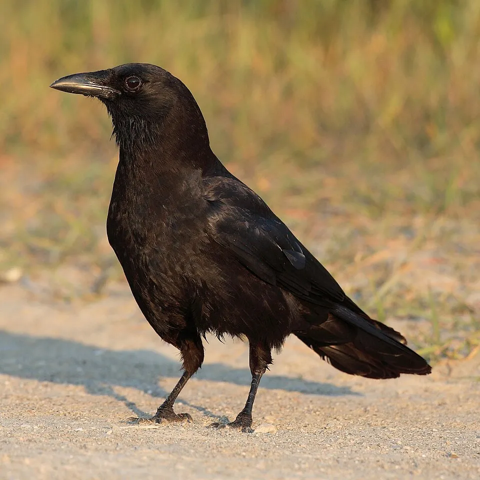
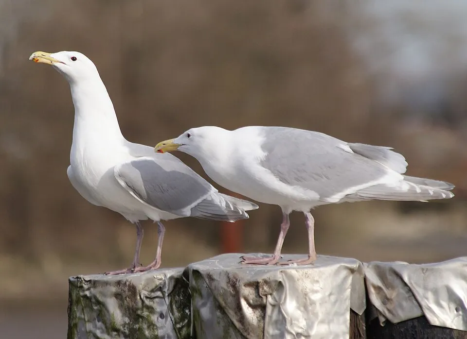
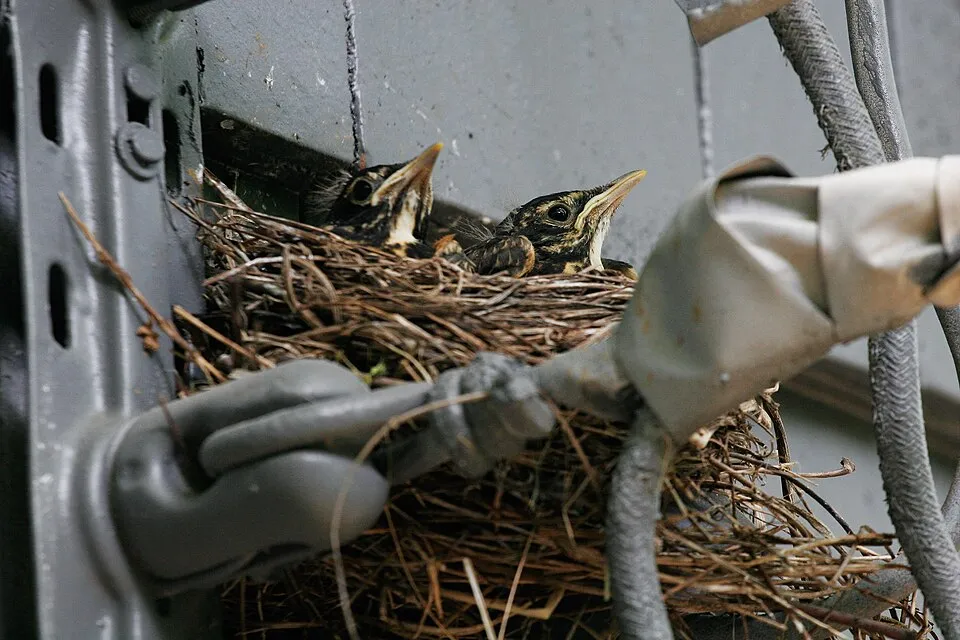
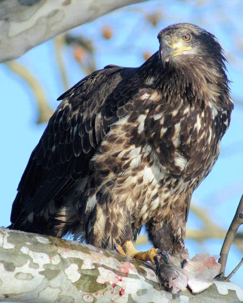
Among the species most often recorded on GBIF are Corvus brachyrhynchos (American Crow), Larus glaucescens (Glaucous-winged Gull), Turdus migratorius (American Robin) and Haliaeetus leucocephalus (Bald eagle).
Who manages Pacific Rim National Park Reserve?
Parks Canada.
What is the official website of Pacific Rim National Park Reserve?
© OpenStreetMap
Download the boundary: GeoJSON · GPX Boundary © OpenStreetMap contributors (ODbL).
Geography
Over the 1996–2025 period, the mean annual temperature is about 10.0 °C and total precipitation reaches roughly 3,003 mm per year. The warmest month is usually August, the coolest January, and the wettest November.
Area
- Area
- 51,000 ha
- Median elevation
- 45 m
- Mean slope
- 8°
- Snow cover
- ≈ 90 days a year
- Coordinates
- 48.9833, -125.6667
Terrain: Mapzen Terrain Tiles (SRTM, USGS)
Main summits
- Hobiton Ridge799 m
- Pandora Peak469 m
- Nitinat Hill421 m
- Nitinat Cone407 m
- Radar Hill123 m
- Vargas Cone117 m
Data © OpenStreetMap contributors (ODbL)
Climate
● Mean temperature (°C) · ▮ Precipitation (mm)
Source: Copernicus ERA5-Land (C3S, doi:10.24381/cds.68d2bb30), monthly averages 1996–2025 interpolated to the representative point, temperatures adjusted for elevation.
Contains modified Copernicus Climate Change Service information 2026. Neither the European Commission nor ECMWF is responsible for any use that may be made of the Copernicus information or data it contains.
Snow cover measured by satellite
J
F
M
A
M
J
J
A
S
O
N
D
average share of the site under snow · snowiest parts · ≈ 90 days a year
Snow cover: MODIS/Terra MOD10CM v61 (Hall & Riggs, 2021, NASA NSIDC DAAC, doi:10.5067/MODIS/MOD10CM.061), imagery from NASA GIBS (ESDIS); 2015–2025 average, grid of about 5 km.
Natural habitats
According to the global MODIS land cover (NASA, 2024), the land area is mainly made up of forests (86%) and marshes and bogs (14%). Woodland is mostly coniferous. The sea covers about 37% of the site. The seabed reaches about 81 m deep (median depth 14 m; GEBCO bathymetry). Elevation ranges from sea level to 799 m (highest point: Hobiton Ridge).
Biodiversity
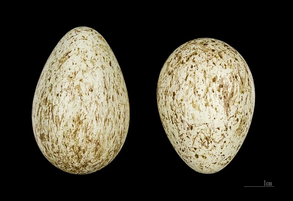
Based on occurrences aggregated by GBIF, several species are regularly recorded within the site. Among the most frequent are Corvus brachyrhynchos (American Crow), Larus glaucescens (Glaucous-winged Gull), Turdus migratorius (American Robin) and Haliaeetus leucocephalus (Bald eagle). The full list of documented taxa is shown below.
Species to look out for
Observed species
Occurrences documented via GBIF; they are neither an exhaustive inventory nor proof of current presence.
- American Crow · Corvus brachyrhynchos · 6410
- Glaucous-winged Gull · Larus glaucescens · 6134
- American Robin · Turdus migratorius · 6133
- Bald eagle · Haliaeetus leucocephalus · 5109
- Northern Raven · Corvus corax · 4702
- Pacific Wren · Troglodytes pacificus · 4504
- Golden-crowned Kinglet · Regulus satrapa · 4091
- Song Sparrow · Melospiza melodia · 4070
- Steller's Jay · Cyanocitta stelleri · 3584
- California Gull · Larus californicus · 3490
- Surf Scoter · Melanitta perspicillata · 3440
- Chestnut-backed Chickadee · Poecile rufescens · 3358
+18 more species
- Orange-crowned Warbler · Leiothlypis celata · 3307
- Chinook salmon · Oncorhynchus tshawytscha · 3300
- Western Sandpiper · Calidris mauri · 3256
- Black Oystercatcher · Haematopus bachmani · 3151
- Townsend's Warbler · Setophaga townsendi · 3040
- Red Fox Sparrow · Passerella iliaca · 2641
- Red Crossbill · Loxia curvirostra · 2620
- Pacific herring · Clupea pallasii · 2605
- Semipalmated Plover · Charadrius semipalmatus · 2589
- Common loon · Gavia immer · 2439
- Killdeer · Charadrius vociferus · 2294
- Sanderling · Calidris alba · 2276
- Swainson's Thrush · Catharus ustulatus · 2271
- Sockeye salmon · Oncorhynchus nerka · 2188
- Wilson's Warbler · Cardellina pusilla · 2135
- Ocean shrimp · Pandalus jordani · 2116
- Chum salmon · Oncorhynchus keta · 2097
- Rufous Hummingbird · Selasphorus rufus · 2080
Records: GBIF.org (CC-BY). Names: Wikidata (CC0), GBIF. Photos: Wikimedia Commons.
Conservation challenges
The primary purpose of the site is to preserve its natural habitats and the biodiversity they support. The species recorded (Biodiversity tab) reflect its ecological value. Its status as a national park sets the regulatory framework for its protection.
According to Global Forest Change data (University of Maryland, Global Forest Watch), about 327 ha of tree cover were lost within the boundary between 2001 and 2023 (under 1% of its area), peaking in 2007 and 2015. These losses include logging, storms and fires, and do not account for regrowth. At night, the area gives off virtually no artificial light detectable from space (NASA VIIRS Black Marble composite, 2016). Since 2000, 13 invasive alien species have been recorded within the site (GBIF observations). Among them: Carcinus maenas (Common shore crab), Plantago lanceolata (Ribwort Plantain) and Raphanus raphanistrum (Wild radish).
Pressure indicators
Tree cover lost
327 ha
2001–2023 · < 1% of the area
20012023
Light at night
0%
of the area gives off artificial light visible from space
DarkLit
Invasive alien species
13
recorded since 2000
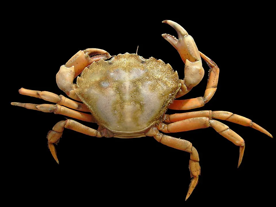 Common shore crab
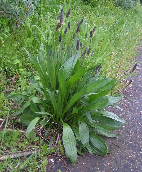 Ribwort Plantain
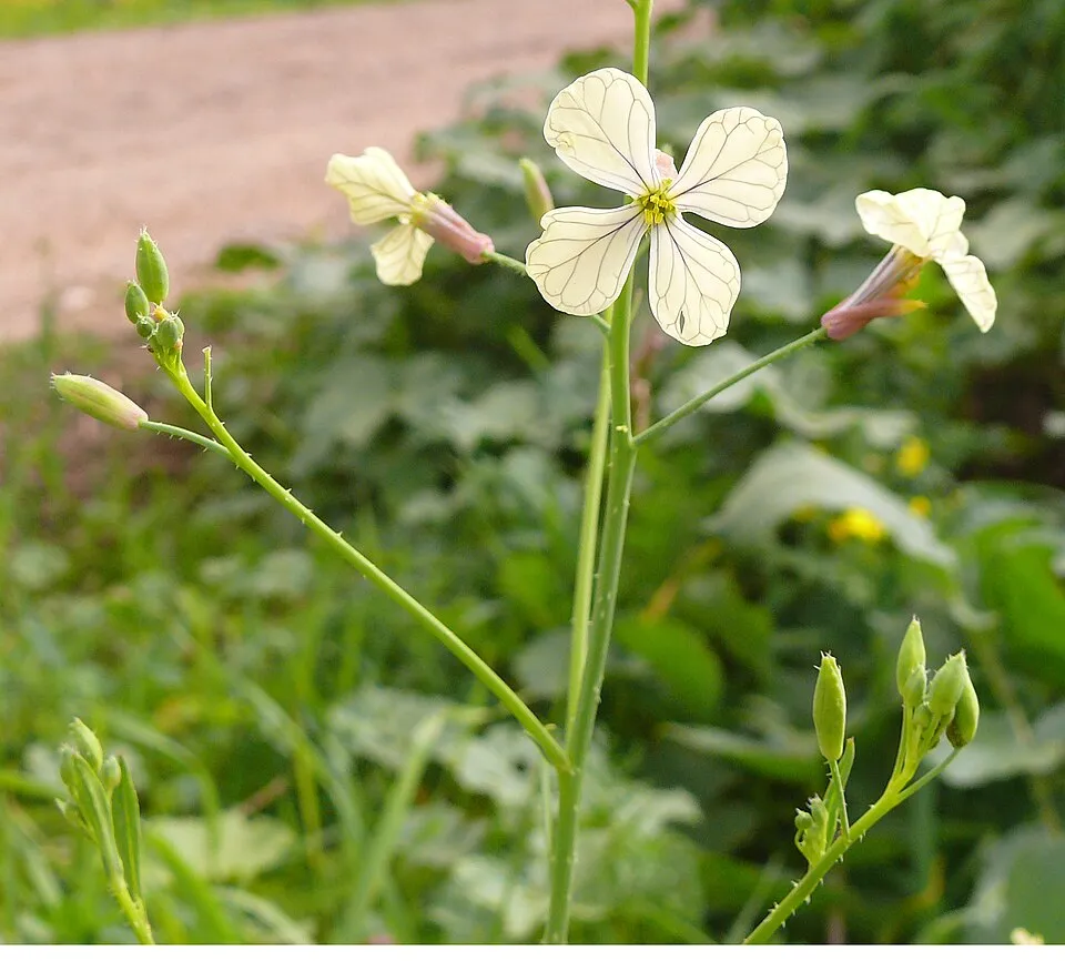 Wild radish
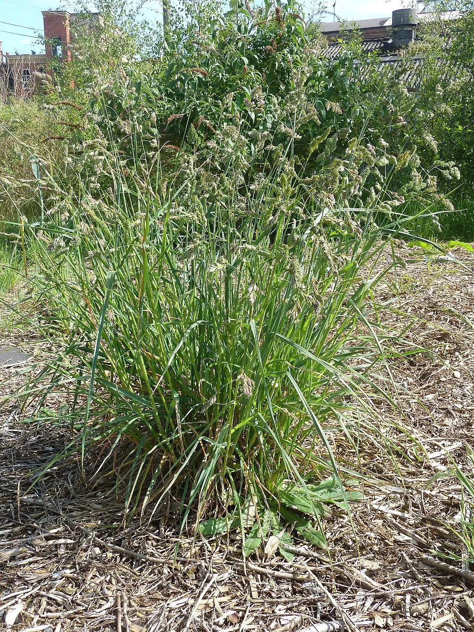 Cock's-foot
 Colonial sea squirt
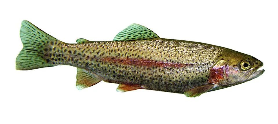 Rainbow trout
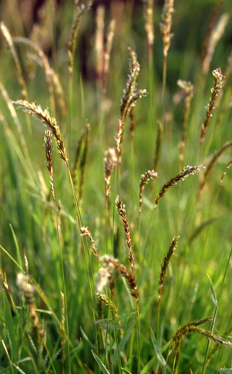 Sweet vernalgrass
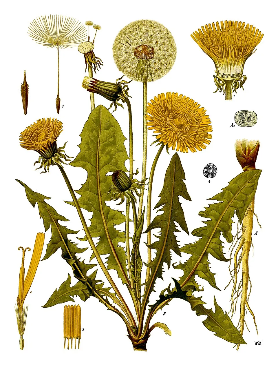 Common dandelion
Photos: Common shore crab © Hans Hillewaert · CC BY-SA 4.0; Ribwort Plantain © sannse · CC BY-SA 3.0; Wild radish © MathKnight · CC BY-SA 3.0; Cock's-foot © Notafly2 · CC BY-SA 3.0; Colonial sea squirt © Frédéric André · CC BY-SA 4.0; Rainbow trout © Jonathunder · CC BY-SA 3.0; Sweet vernalgrass © Fice · CC BY-SA 3.0; Common dandelion © Walther Otto Müller · Public domain
Sources: Global Forest Change (Hansen et al., University of Maryland, via Global Forest Watch, CC-BY 4.0); EFFIS, European Commission / Copernicus; NASA Black Marble 2016 (public domain); CORINE Land Cover 2018 (Copernicus) or MODIS.
Invasive alien species: Global Register of Introduced and Invasive Species (ISSG, CC BY 4.0); Union list, Regulation (EU) 1143/2014 (INBO, CC0); GBIF.org records (CC0 / CC BY 4.0), at least 2 per species.
Practical information
Cities and airport
- Nanaimo
72 km as the crow flies - Victoria
77 km as the crow flies - Airport: Nanaimo (YCD)
65 km as the crow flies
Visitor information
- Centre d'accueil Kwisitis
within the site - Centre d'accueil Pacific Rim
< 1 km from the site boundary - Tofino Visitor Centre
2 km from the site boundary - Registration Kiosk
within the site
Parking
18 public car parks listed within the site · 8 trailheads
Stationnement payantFlorencia Beach TrailheadParc de stationnement de Radar Hill RoadBeach Trail Parking
Things to see
1 waterfall · 11 lakes and ponds
- Tsusiat Falls
waterfall - Hitchie Lake
lake or pond - Hobiton Lake
lake or pond - Little Squalicum Lake
lake or pond - Little Tsusiat Lake
lake or pond
Hiking
7 waymarked routes listed, including:
West Coast Trail
By bike
ʔapsčiik t̓ašii · 25 km
Signed cycle routes: this does not mean that cycling is allowed on footpaths.
Data © OpenStreetMap contributors (ODbL) · Wikidata (CC0)
Routes © OpenStreetMap contributors (ODbL), via Waymarked Trails
Waymarked hiking routes
Tracks © OpenStreetMap contributors (ODbL), clipped to the boundary; elevation gain and profiles computed on the longest section from Mapzen Terrain Tiles (≈ 30 m), indicative only.
Access and visiting
Nearest towns of over 50,000 people, as the crow flies: Nanaimo (72 km) and Victoria (77 km). Nearest airport: Nanaimo (YCD), about 65 km away. About 5,900 people live within 20 km of the site boundary; some 280 people are estimated to live inside (GHSL estimate, 2020). Visitor information on site: Centre d'accueil Kwisitis, Centre d'accueil Pacific Rim and Tofino Visitor Centre. Public car parks listed within the site: 18, including Stationnement payant, Florencia Beach Trailhead and Parc de stationnement de Radar Hill Road. Waymarked hiking routes listed in OpenStreetMap: 7, including West Coast Trail. A signed cycle route crosses the site: “ʔapsčiik t̓ašii” (OpenStreetMap). To see: 1 waterfall and 11 lakes and ponds, including Tsusiat Falls, Hitchie Lake, Hobiton Lake and Little Squalicum Lake. To plan a visit (access, opening periods, visitor rules), it is best to consult the official information from the managing body (Parks Canada) and the official website listed in this page's sources.
Source: OpenStreetMap (ODbL), Wikidata (CC0), October 2026.
When to visit
Best time to visit: from May to September, with average temperatures of 11 to 17 °C and moderate rainfall. Precipitation peaks from November to January (up to 460 mm per month). According to NASA's MODIS satellites (2015–2025 average), snow covers most of the site from November to February, with about 90 snow-covered days a year on average. Day length ranges from about 8 h 15 min in December to 16 h 10 min in June. Wildlife records published on GBIF peak for birds (May), plants (from May to July), butterflies and moths (July), dragonflies (July) and mammals (from June to September). These peaks also reflect when observers are most active.
Source: Copernicus ERA5-Land (C3S), monthly averages 1996–2025 at the representative point, temperatures adjusted for elevation.
Contains modified Copernicus Climate Change Service information 2026. Neither the European Commission nor ECMWF is responsible for any use that may be made of the Copernicus information or data it contains.
Wildlife records calendar
JFMAMJJASOND
Birds
Plants
Butterflies & moths
Dragonflies
Mammals
Monthly records published on GBIF (CC-BY), relative to the busiest month; also reflects observer activity.
Gallery
© Mikeo · Public domain
© Paul David Doherty (PDD) · CC BY-SA 3.0
© Wing-Chi Poon · CC BY-SA 2.5
© Burtonpe and Nikater · CC BY-SA 4.0
© yvr101 · CC BY 3.0
© Natulive Canada · CC BY-SA 4.0
Sources and licences
- Wikidata: Q1756401
- OpenStreetMap: relation 2017391
- Official website: https://parks.canada.ca/pn-np/bc/pacificrim
- Wikipedia: en.wikipedia.org/wiki/Pacific_Rim_National_Park_Reserve
- WDPA: 628
References
- cds.climate.copernicus.eu: climate · CC-BY-4.0
- registry.opendata.aws: elevation of the reference point · PD
- lpdaac.usgs.gov: land cover · PD
- doi.org: population around the site · CC-BY-4.0
- naturalearthdata.com: sea share · PD
- wikidata.org: official area, establishment date, protected heritage, managing body, official name, nearby cities and airport, access and peaks, lake depths, places to see, official website · CC0-1.0
- en.eurovelo.com: EuroVelo cycle routes · ODbL-1.0
- cycling.waymarkedtrails.org: cycle routes · ODbL-1.0
- gebco.net: depths · PD
- opentopodata.org: elevations · PD
- globalforestwatch.org: tree cover loss · CC-BY-4.0
- gbif.org: seasonality of sightings, invasive alien species, observed species · CC-BY-4.0
- earthobservatory.nasa.gov: night light · PD
- openstreetmap.org: access and peaks · ODbL-1.0
- registry.opendata.aws: detailed relief · OGL-CA
- hiking.waymarkedtrails.org: route difficulty · ODbL-1.0
- nsidc.org: snow cover · PD
- wikidata.org: Wikipedia article · CC-BY-SA-4.0
Data © OpenStreetMap contributors (ODbL), Wikidata (CC0) and the sources cited.