Costa Rica · Marine
Isla del Coco National Park
National park of 5,520,720 hectares in Costa Rica, established in 1978.
Overview
National park of 5,520,720 hectares in Costa Rica, established in 1978.
Isla del Coco National Park is located in Costa Rica (North America). It is a predominantly marine area. Established in 1978, it covers about 5,520,720 hectares.
Protections and designations
UNESCO World Heritage
Ramsar site
Protected as a national park. International labels and designations: UNESCO World Heritage (“Cocos Island National Park”) and Ramsar site (“Coco Island”). Key dates: established in 1978 and World Heritage listing in 1997.
In our collections
Timeline
-
1978
Established
-
1997
Inscribed as a UNESCO World Heritage Site Cocos Island National Park
Sources: Wikidata (CC0) for establishment and international labels; EEA Natura 2000 database (CC-BY 4.0) for site designation dates.
Frequently asked questions
Where is Isla del Coco National Park?
In Costa Rica (North America). Representative point: 5.5333° N, 87.0667° W.
How large is Isla del Coco National Park?
About 5,520,720 hectares (55,207 km²). It is the largest of the 27 national parks in Costa Rica covered by Parkavela.
When was Isla del Coco National Park established?
In 1978.
What habitats and landscapes does Isla del Coco National Park include?
A marine area, with coral reefs.
Which international labels apply to Isla del Coco National Park?
UNESCO World Heritage (“Cocos Island National Park”) and Ramsar site (“Coco Island”).
Where can I get visitor information on site?
Estación de Guardaparques Base Wafer and Estación de Guardaparques Base Chatham.
Which species can be seen in Isla del Coco National Park?
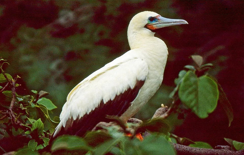
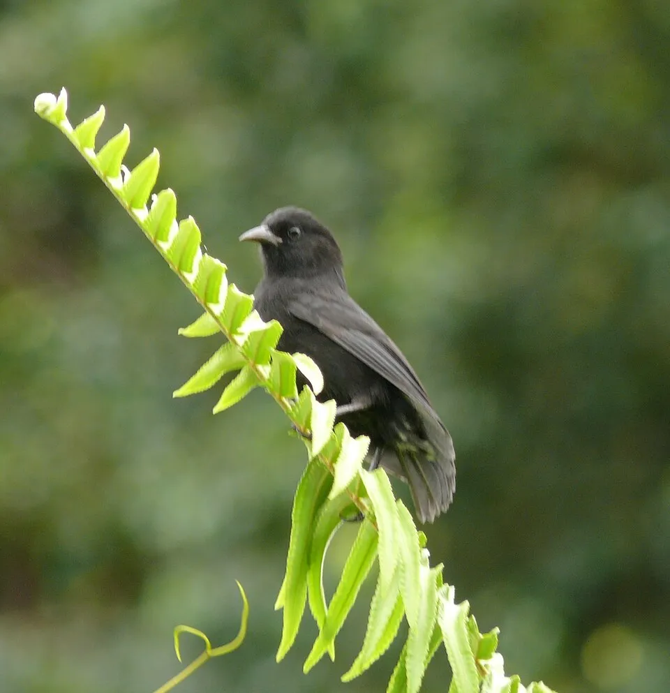
Among the species most often recorded on GBIF are Spelobia bifrons, Sula sula (Red-footed Booby), Fregata minor (Great Frigatebird) and Pinaroloxias inornata (Cocos Island Finch).
© OpenStreetMap
Download the boundary: GeoJSON · GPX Boundary © OpenStreetMap contributors (ODbL).
Geography
The representative point of the site lies at around 334 m above sea level.
Area
- Area of the boundary
- 5,520,720 ha
- Elevation
- 334 m
- Coordinates
- 5.5333, -87.0667
Natural habitats
The site is almost entirely marine. The seabed reaches about 3,272 m deep (median depth 2,341 m; GEBCO bathymetry). Reef-building corals are documented in the area: 413 records published on GBIF.
Biodiversity
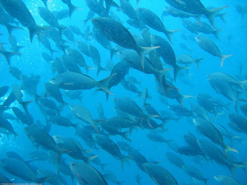
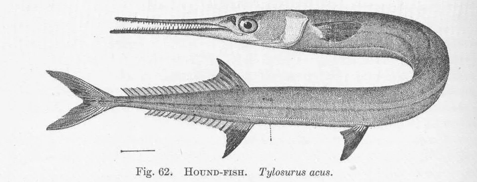
Based on occurrences aggregated by GBIF, several species are regularly recorded within the site. Among the most frequent are Spelobia bifrons, Sula sula (Red-footed Booby), Fregata minor (Great Frigatebird) and Pinaroloxias inornata (Cocos Island Finch). The full list of documented taxa is shown below.
Species to look out for


Observed species
Occurrences documented via GBIF; they are neither an exhaustive inventory nor proof of current presence.
- Spelobia bifrons · 3152
- Red-footed Booby · Sula sula · 1160
- Great Frigatebird · Fregata minor · 985
- Cocos Island Finch · Pinaroloxias inornata · 826
- White Tern · Gygis alba · 808
- Pacific Creole-fish · Paranthias colonus · 733
- Dasyhelea ludingensis · 603
- Agujon Needlefish · Tylosurus acus · 557
- Cocos Flycatcher · Nesotriccus ridgwayi · 545
- Black triggerfish · Melichthys niger · 532
- Cocos Island Anole · Anolis townsendi · 415
- Brown Noddy · Anous stolidus · 408
+18 more species
- Javelin Moth · Bactra verutana · 391
- Mangrove Warbler · Setophaga petechia · 386
- Eurasian Whimbrel · Numenius phaeopus · 361
- Cocos Cuckoo · Coccyzus ferrugineus · 357
- Cortez Rainbow Wrasse · Thalassoma lucasanum · 340
- Clausocalanus furcatus · 317
- Rainbow runner · Elagatis bipinnulata · 310
- Semipalmated Plover · Charadrius semipalmatus · 296
- Wandering Tattler · Tringa incana · 267
- Osprey · Pandion haliaetus · 262
- Great Egret · Ardea alba · 236
- Masked Booby · Sula dactylatra · 189
- Great blue heron · Ardea herodias · 178
- Notchfin Blenny · Entomacrodus chiostictus · 168
- Purple Martin · Progne subis · 167
- Tricolored Heron · Egretta tricolor · 164
- Panama Lightfish · Vinciguerria lucetia · 154
- Magnificent frigatebird · Fregata magnificens · 153
Records: GBIF.org (CC-BY). Names: Wikidata (CC0), GBIF. Photos: Wikimedia Commons.
Conservation challenges
The primary purpose of the site is to preserve its natural habitats and the biodiversity they support. The species recorded (Biodiversity tab) reflect its ecological value. The designations it holds frame its management and the control of land use.
Invasive alien species have been recorded within the site since 2000 (GBIF observations). Among them: Wasmannia auropunctata (Hormiga que come Megalodones), Tapinoma melanocephalum (Ghost Ant) and Rattus rattus (Black Rat).
Pressure indicators
Invasive alien species
4
recorded since 2000
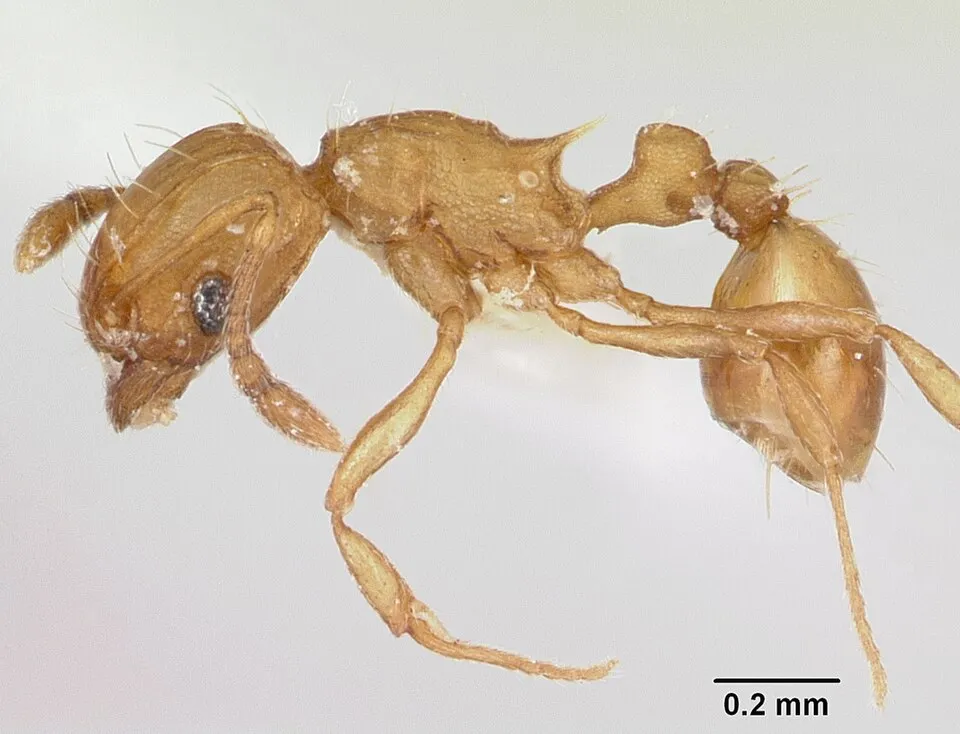 Hormiga que come Megalodones
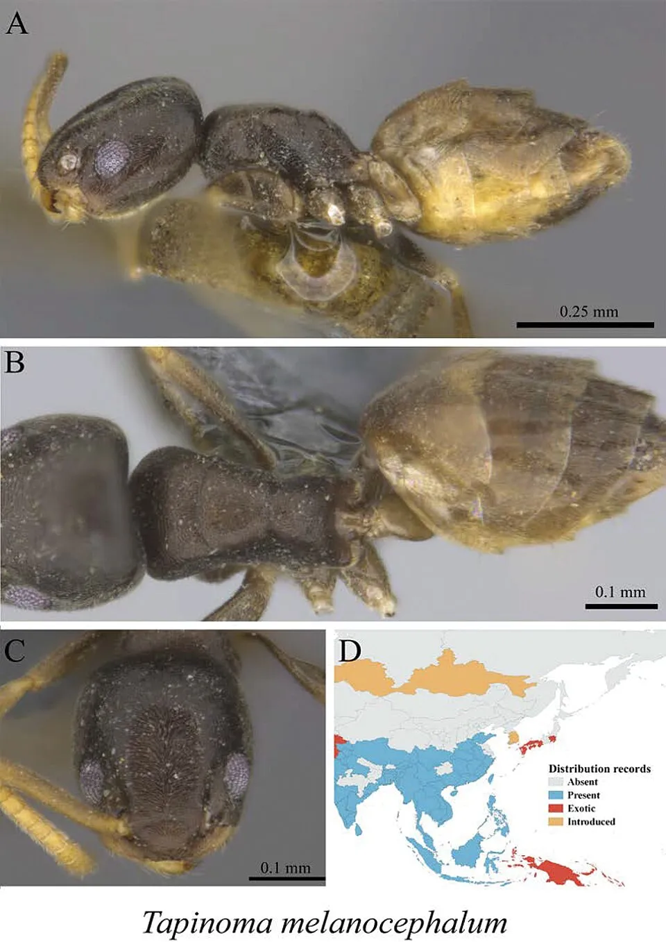 Ghost Ant
 Black Rat
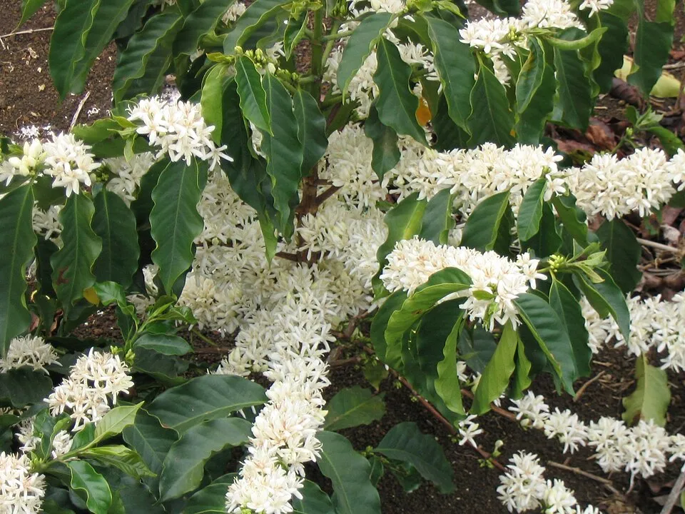 Arabian coffee
Photos: Hormiga que come Megalodones © April Nobile · CC BY 4.0; Ghost Ant © Liu C et al. · CC BY 4.0; Black Rat © Jakub Hałun · CC BY-SA 4.0; Arabian coffee © Marcelo Corrêa · CC BY-SA 3.0
Sources: Global Forest Change (Hansen et al., University of Maryland, via Global Forest Watch, CC-BY 4.0); EFFIS, European Commission / Copernicus; NASA Black Marble 2016 (public domain); CORINE Land Cover 2018 (Copernicus) or MODIS.
Invasive alien species: Global Register of Introduced and Invasive Species (ISSG, CC BY 4.0); Union list, Regulation (EU) 1143/2014 (INBO, CC0); GBIF.org records (CC0 / CC BY 4.0), at least 2 per species.
Practical information
Visitor information
- Estación de Guardaparques Base Wafer
within the site - Estación de Guardaparques Base Chatham
within the site
Data © OpenStreetMap contributors (ODbL)
Access and visiting
Visitor information on site: Estación de Guardaparques Base Wafer and Estación de Guardaparques Base Chatham. To plan a visit (access, opening periods, visitor rules), it is best to consult the official information from the managing body and the official website listed in this page's sources.
Source: OpenStreetMap (ODbL), Wikidata (CC0), October 2026.
Wildlife records calendar
JFMAMJJASOND
Birds
Plants
Butterflies & moths
Mammals
Monthly records published on GBIF (CC-BY), relative to the busiest month; also reflects observer activity.
Gallery
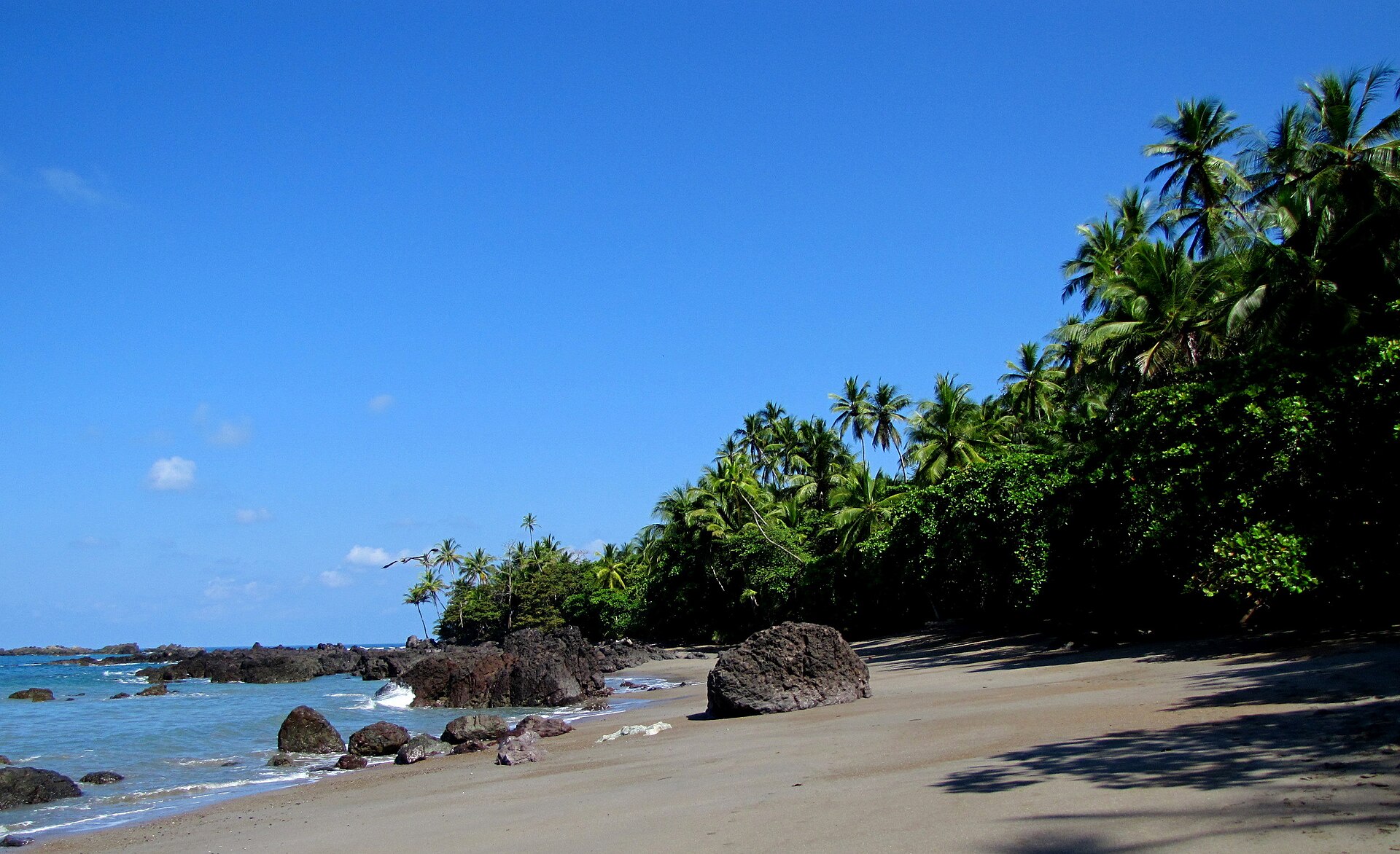
© J RAWLS · CC BY 2.0
© Barry Peters · CC BY 2.0
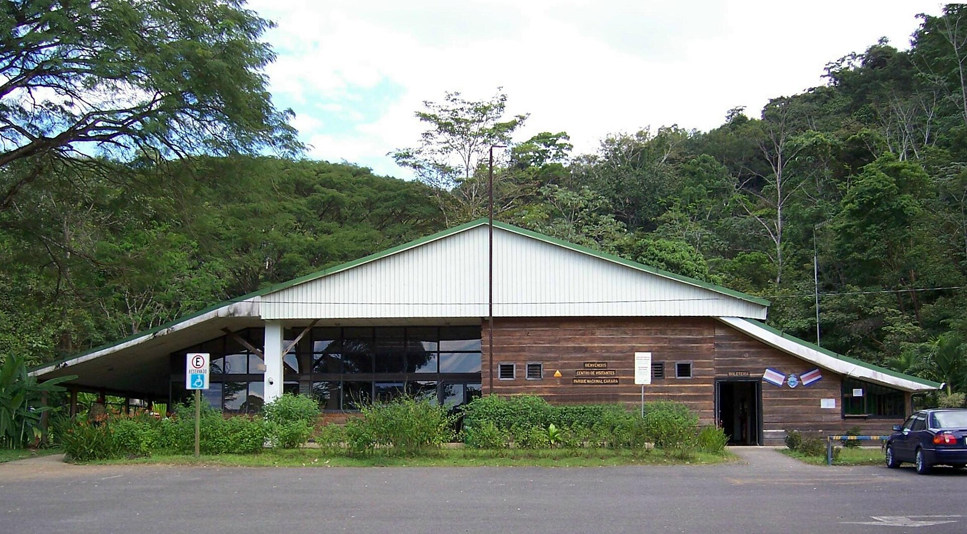
© Axxis10 · CC BY-SA 3.0
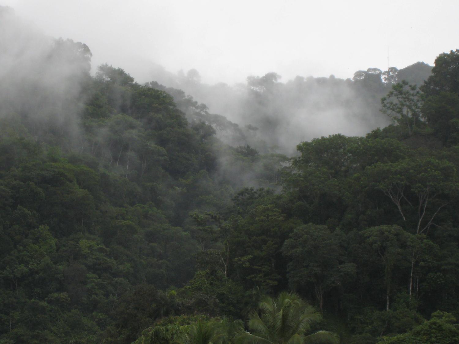
© Kris Mikael Krister · CC BY 3.0
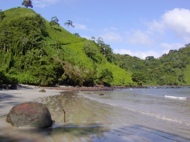
© Shannon Rankin, NOAA National Marine Fisheries Service, Southwest Fisheries Science Center (SWFSC) · Public domain
© ALVivaldi · CC BY-SA 4.0
Sources and licences
- Wikidata: Q6062995
- OpenStreetMap: relation 6195069
- Wikipedia: es.wikipedia.org/wiki/Parque_nacional_Isla_del_Coco
- WDPA: 170
References
- registry.opendata.aws: elevation of the reference point · PD
- lpdaac.usgs.gov: land cover · PD
- doi.org: population around the site · CC-BY-4.0
- naturalearthdata.com: sea share · PD
- openstreetmap.org: official name, access and peaks, trail difficulty · ODbL-1.0
- wikidata.org: establishment date, nearby cities and airport, access and peaks, places to see · CC0-1.0
- gbif.org: coral records, seasonality of sightings, invasive alien species, observed species · CC-BY-4.0
- gebco.net: depths · PD
- opentopodata.org: elevations · PD
- wikidata.org: Wikipedia article · CC-BY-SA-4.0
Data © OpenStreetMap contributors (ODbL), Wikidata (CC0) and the sources cited.