France · Terrestrial
Réserve naturelle nationale de la vallée de Chaudefour
Nature reserve of 820 hectares in France, established in 1991.
Overview
Nature reserve of 820 hectares in France, established in 1991.
Réserve naturelle nationale de la vallée de Chaudefour is a nature reserve in France (Europe). It is a predominantly terrestrial area. Established in 1991, it covers about 820 hectares. The site is managed by National Forests Office.
Protections and designations
Natura 2000 · habitats (SAC)
- Monts-Dore FR8301042
Protected as a nature reserve. International labels and designations: Natura 2000 network (1 site: “Monts-Dore”). Key dates: established in 1991 and first Natura 2000 site under the Habitats Directive in 2004.
In our collections
Timeline
-
1991
Established
-
2004
First Natura 2000 site under the Habitats Directive
Sources: Wikidata (CC0) for establishment and international labels; EEA Natura 2000 database (CC-BY 4.0) for site designation dates.
Frequently asked questions
Where is Réserve naturelle nationale de la vallée de Chaudefour?
In France (Europe). Representative point: 45.5362° N, 2.8506° E.
How large is Réserve naturelle nationale de la vallée de Chaudefour?
About 820 hectares (8 km²). It is the 38th largest of the 121 nature reserves in France covered by Parkavela.
When was Réserve naturelle nationale de la vallée de Chaudefour established?
In 1991.
What habitats and landscapes does Réserve naturelle nationale de la vallée de Chaudefour include?
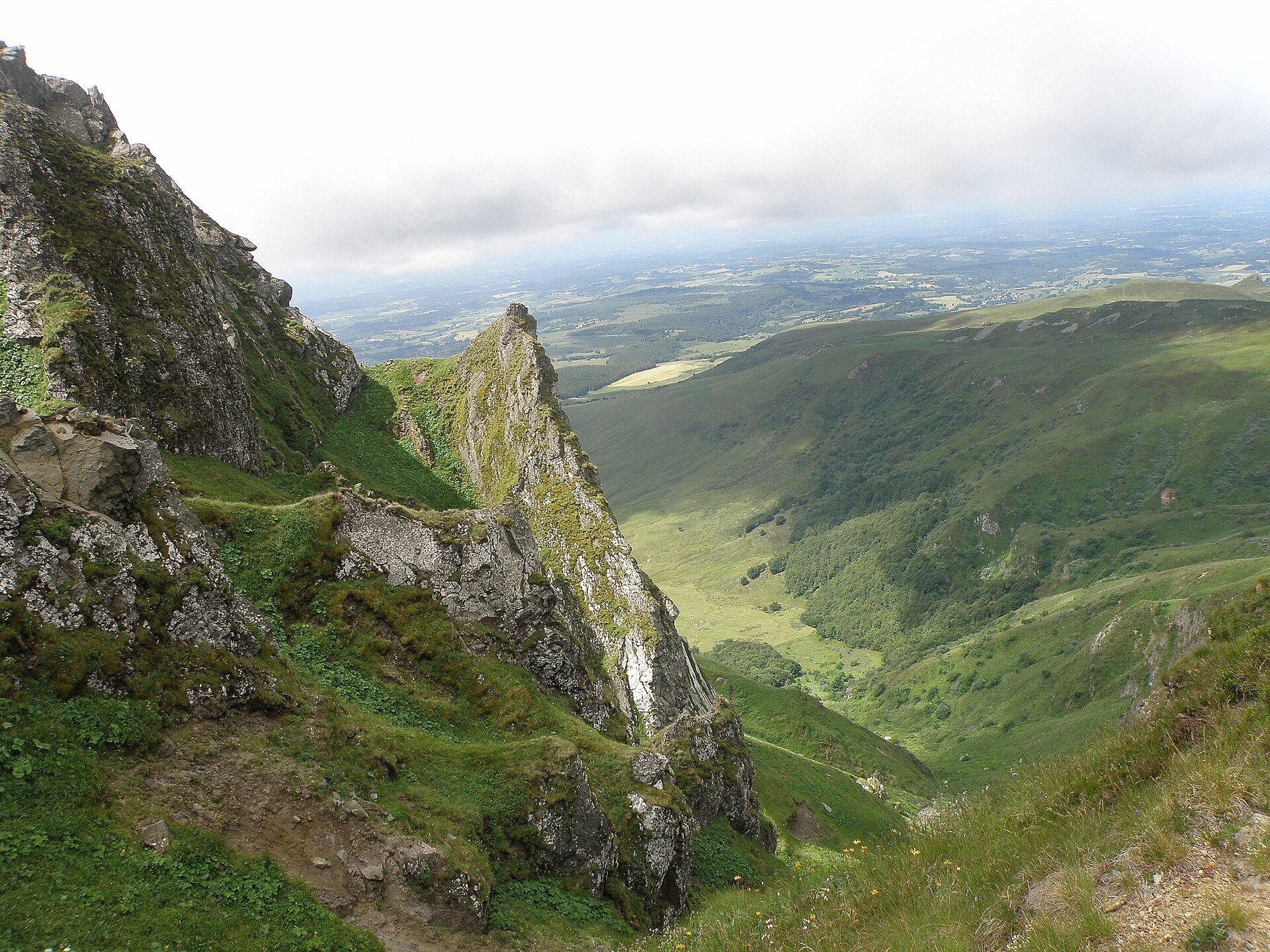
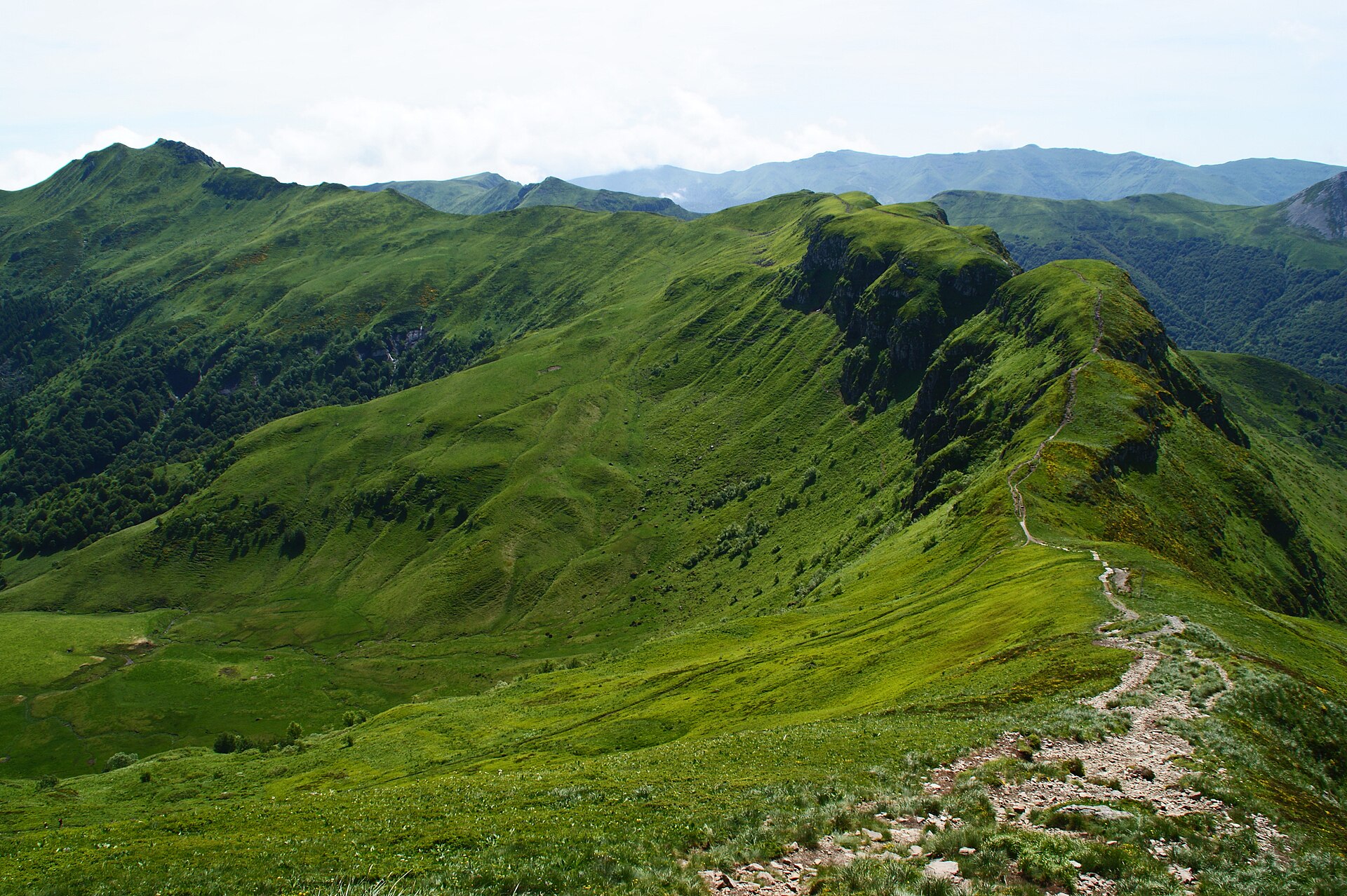
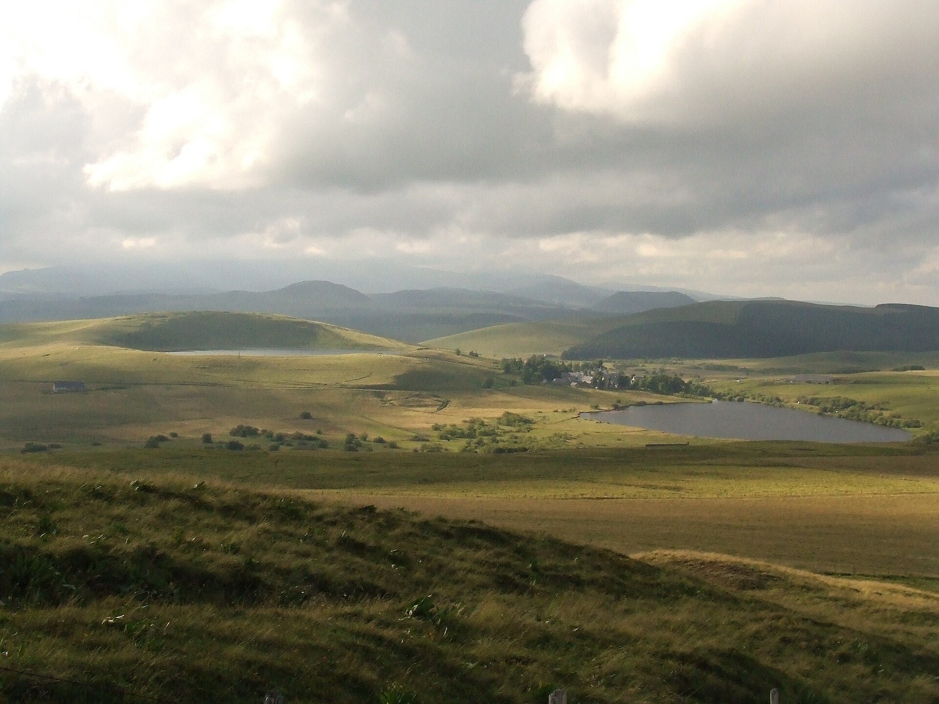
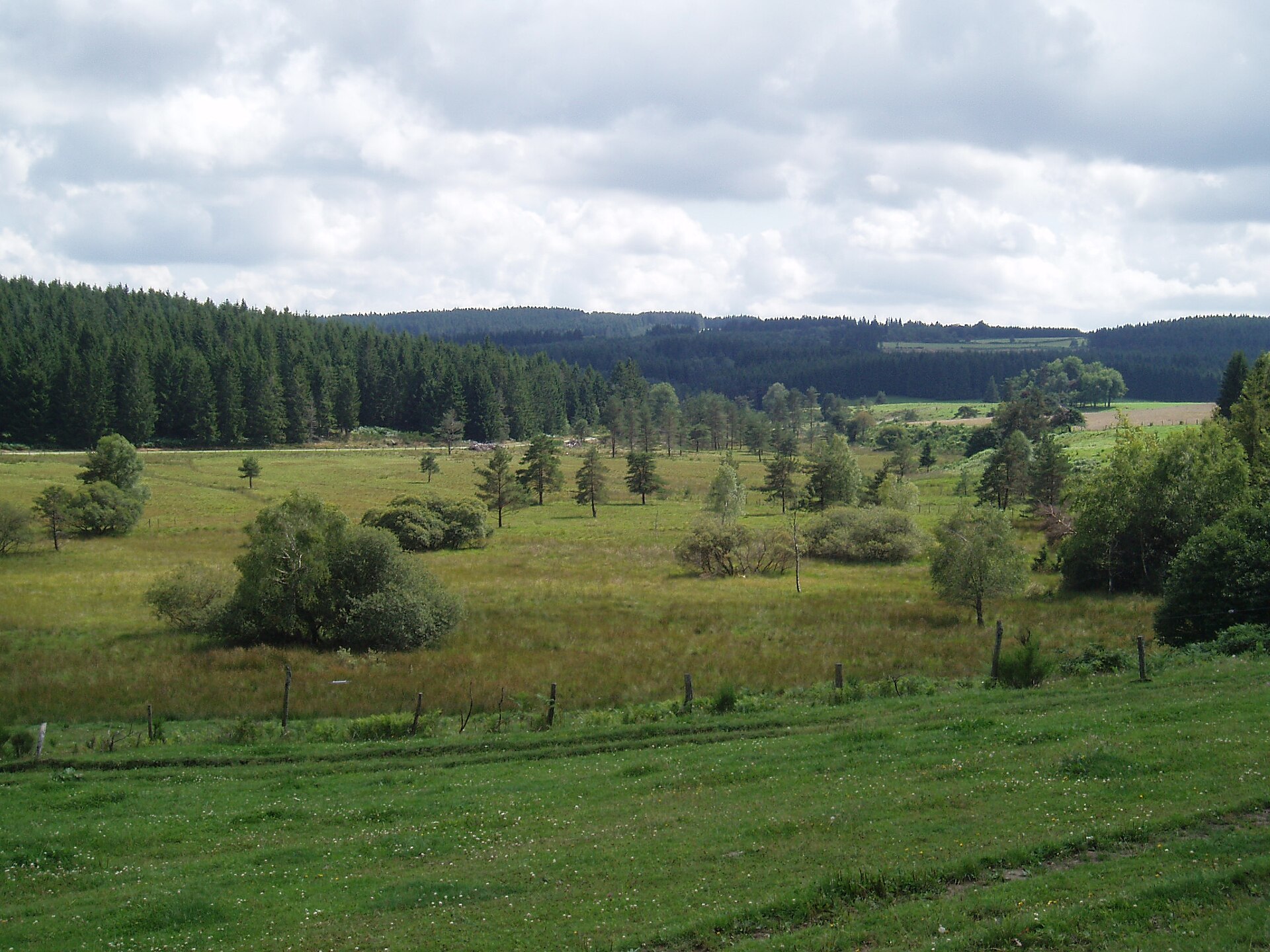
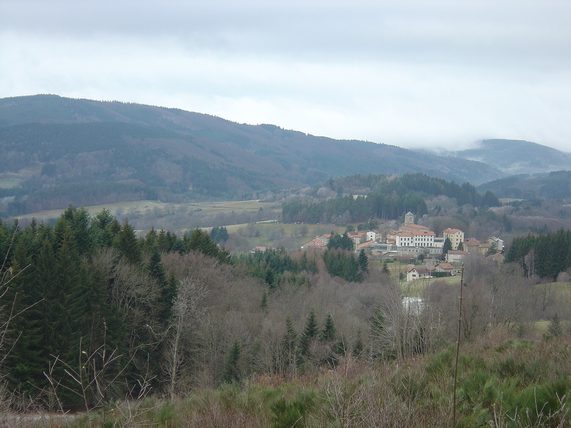
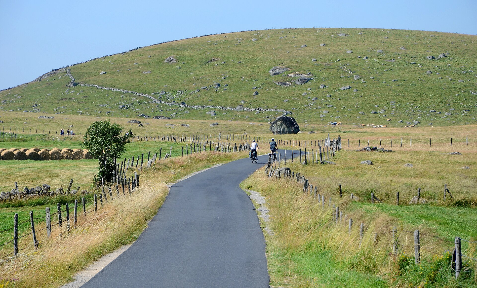
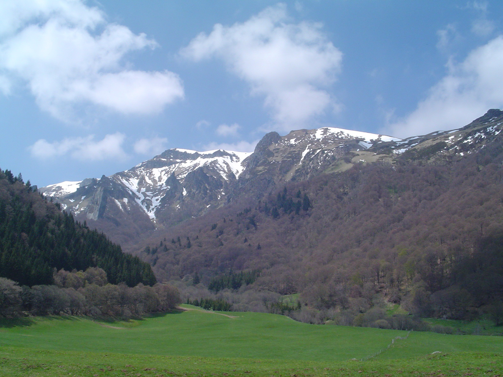
A terrestrial area, with forests and mountains.
What rocks lie beneath Réserve naturelle nationale de la vallée de Chaudefour?
According to the BRGM's simplified lithological map, the bedrock consists mainly of basalts and rhyolites (100% of sampled points). These are mostly igneous rocks.
What is the highest point of Réserve naturelle nationale de la vallée de Chaudefour?
Puy Ferrand, at 1,854 m (OpenStreetMap).
What are the main summits of Réserve naturelle nationale de la vallée de Chaudefour?
Puy Ferrand (1,854 m), Puy de la Perdrix (1,825 m), Le Dôme (1,610 m), Puy de Champgourdeix (1,570 m) and Crête de Coq (1,500 m) (OpenStreetMap).
Which international labels apply to Réserve naturelle nationale de la vallée de Chaudefour?
Natura 2000 network (1 site: “Monts-Dore”).
When is the best time to visit Réserve naturelle nationale de la vallée de Chaudefour?
Best time to visit: from June to September, with average temperatures of 11 to 16 °C and moderate rainfall.
Is there snow in Réserve naturelle nationale de la vallée de Chaudefour?
Yes. According to NASA's MODIS satellites (2015–2025 average), snow covers most of the area from December to March, with about 85 snow-covered days a year on average.
What is there to see in Réserve naturelle nationale de la vallée de Chaudefour?
4 viewpoints and 4 waterfalls, including Cascade de la Biche, Cascade au Moine, Cascade de Pérouse and Cascade de l'Aigle (OpenStreetMap).
What is the nearest large city to Réserve naturelle nationale de la vallée de Chaudefour?
Nearest towns of over 50,000 people, as the crow flies: Clermont-Ferrand (30 km). Nearest airport: Clermont-Ferrand Auvergne (CFE), about 34 km away.
How can I reach Réserve naturelle nationale de la vallée de Chaudefour by train?
The nearest railway station is La Bourboule, about 9 km from the site boundary.
Where can I get visitor information on site?
Maison de la Réserve Naturelle de Chaudefour and École du Ski Français.
Are there waymarked hiking trails in Réserve naturelle nationale de la vallée de Chaudefour?
Yes. Waymarked hiking routes listed in OpenStreetMap: 5, including GR 4 (15 km) and Boucle Longue du Sancy. The “La Vallée de Chaudefour” route runs for about 6 km through the site.
Which species can be seen in Réserve naturelle nationale de la vallée de Chaudefour?
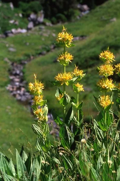
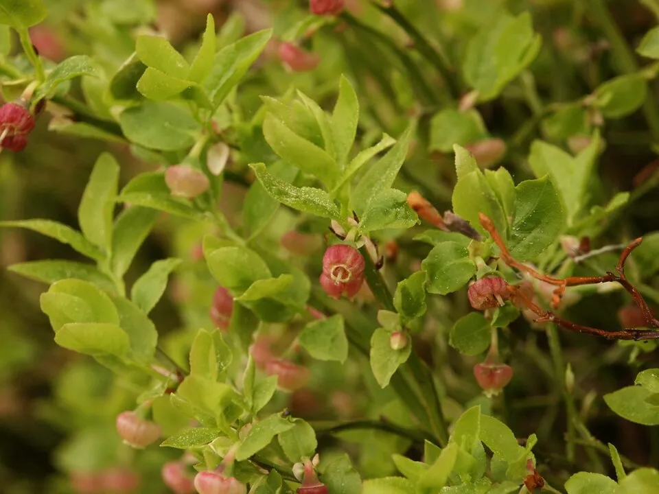
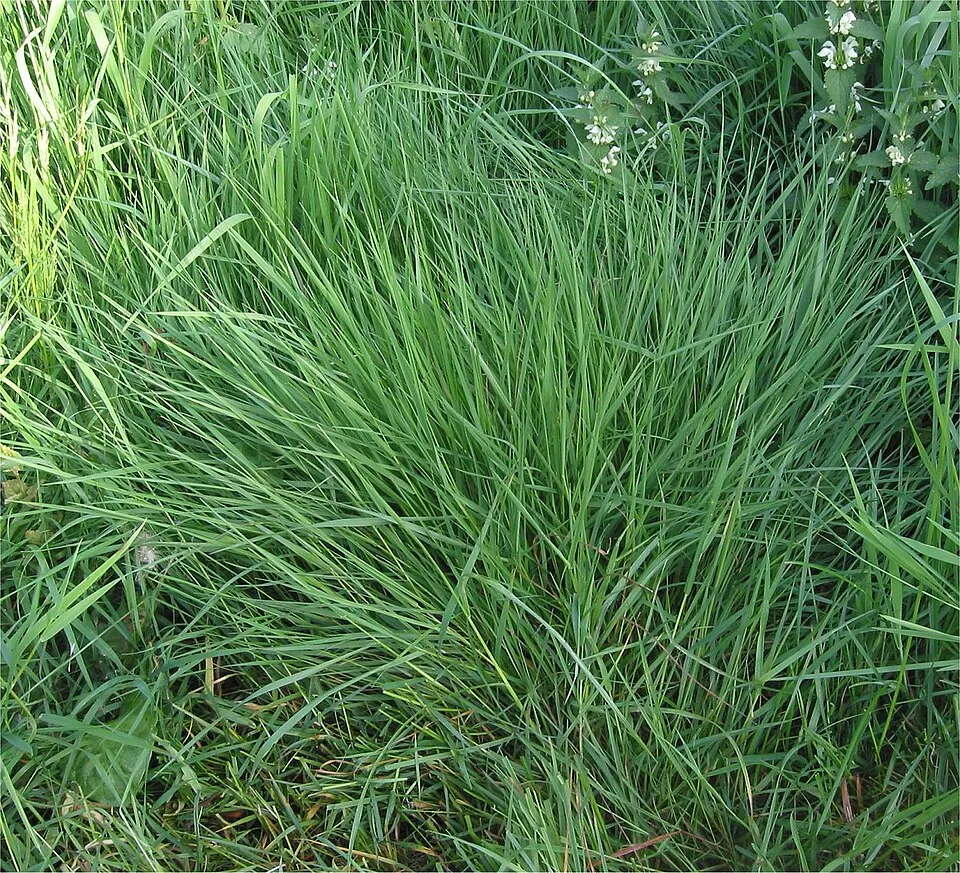
Among the species most often recorded on GBIF are Gentiana lutea (Great Yellow Gentian), Avenella flexuosa (Wavy hairgrass), Vaccinium myrtillus (Bilberry) and Luzula desvauxii.
Who manages Réserve naturelle nationale de la vallée de Chaudefour?
National Forests Office.
© OpenStreetMap
Download the boundary: GeoJSON · GPX Boundary © OpenStreetMap contributors (ODbL).
Geography
The representative point of the site lies at around 1,253 m above sea level. Over the 1996–2025 period, the mean annual temperature is about 7.2 °C and total precipitation reaches roughly 1,046 mm per year. The warmest month is usually August, the coolest January, and the wettest May. According to the BRGM's simplified lithological map, the bedrock consists mainly of basalts and rhyolites (100% of sampled points). These are mostly igneous rocks.
Area
- Area
- 820 ha
- Elevation
- 1,253 m
- Median elevation
- 1,388 m
- Mean slope
- 19°
- Snow cover
- ≈ 85 days a year
- Coordinates
- 45.5362, 2.8506
Terrain: Mapzen Terrain Tiles (SRTM, USGS)
Elevation bands
- 1,000–1,500 m 77%
- 1,500–2,000 m 23%
share of the site in each elevation band (smoothed terrain model: summits are rounded off) · Terrain: Mapzen Terrain Tiles (SRTM, USGS)
Bedrock
- Basalts and rhyolites 100 %
Igneous rocks 100 %
Source: BRGM, simplified lithological map at 1:1,000,000 (Licence Ouverte), 16 points sampled within the boundary.
Main summits
- Puy Ferrand1,854 m
- Puy de la Perdrix1,825 m
- Le Dôme1,610 m
- Puy de Champgourdeix1,570 m
- Crête de Coq1,500 m
- Dent de la Rancune1,493 m
Data © OpenStreetMap contributors (ODbL)
Climate
● Mean temperature (°C) · ▮ Precipitation (mm)
Source: Copernicus ERA5-Land (C3S, doi:10.24381/cds.68d2bb30), monthly averages 1996–2025 interpolated to the representative point, temperatures adjusted for elevation.
Contains modified Copernicus Climate Change Service information 2026. Neither the European Commission nor ECMWF is responsible for any use that may be made of the Copernicus information or data it contains.
Snow cover measured by satellite
J
F
M
A
M
J
J
A
S
O
N
D
average share of the area under snow · snowiest parts · ≈ 85 days a year
Snow cover: MODIS/Terra MOD10CM v61 (Hall & Riggs, 2021, NASA NSIDC DAAC, doi:10.5067/MODIS/MOD10CM.061), imagery from NASA GIBS (ESDIS); 2015–2025 average, grid of about 5 km.
Natural habitats
According to CORINE Land Cover (2018), the site is mainly made up of forests (44%), grassland and meadows (30%) and heath and scrub (26%). Woodland is mostly broadleaved. Elevation ranges from about 1,110 m to 1,854 m (highest point: Puy Ferrand). Median elevation is 1,388 m, and 23% of the site lies above 1,500 m (SRTM elevation model). The terrain is steep: 18% of slopes exceed 30° (mean slope 19°). The Natura 2000 site overlapping the area lists 16 habitats of European interest (2 priority), the most extensive being species-rich Nardus grasslands, on silicious substrates in mountain areas (and submountain areas in Continental Europe), European dry heaths and mountain Cytisus purgans formations.
Biodiversity
Based on occurrences aggregated by GBIF, several species are regularly recorded within the site. Among the most frequent are Gentiana lutea (Great Yellow Gentian), Avenella flexuosa (Wavy hairgrass), Vaccinium myrtillus (Bilberry) and Luzula desvauxii. The full list of documented taxa is shown below. The overlapping Natura 2000 site lists 18 species of European interest: 3 mammals, 2 reptiles, 1 amphibian, 5 invertebrates and 7 plants.
Habitats of European interest
From the official form of the Natura 2000 site overlapping the area (areas reported for the whole site).
- Species-rich Nardus grasslands, on silicious substrates in mountain areas (and submountain areas in Continental Europe) priority 2,244 ha
- European dry heaths 1,756 ha
- Mountain Cytisus purgans formations 295 ha
- Hydrophilous tall herb fringe communities of plains and of the montane to alpine levels 261 ha
- Atlantic acidophilous beech forests with Ilex and sometimes also Taxus in the shrublayer (Quercion robori-petraeae or Ilici-Fagenion) 143 ha
- Medio-European subalpine beech woods with Acer and Rumex arifolius 110 ha
- Molinia meadows on calcareous, peaty or clayey-silt-laden soils (Molinion caeruleae) 91 ha
- Active raised bogs priority 50 ha
and 8 more
Species of European interest
Mammals · 3
Barbastelle (Barbastella barbastellus), Eurasian otter (Lutra lutra), Bechstein's bat (Myotis bechsteinii)
Amphibians · 1
Invertebrates · 5
Marsh fritillary (Euphydryas aurinia), Violet Copper (Lycaena helle), Large Blue (Maculinea arion), Apollo (Parnassius apollo), Clouded apollo (Parnassius mnemosyne)
Plants · 7
Mountain arnica (Arnica montana), Bruchia moss (Bruchia vogesiaca), Buxbaumia moss (Buxbaumia viridis), Great Yellow Gentian (Gentiana lutea), Hamatocaulis moss (Hamatocaulis vernicosus), Fir Clubmoss (Huperzia selago), Orthotrichum rogeri
Source: Natura 2000 standard data forms (EEA, CC-BY 4.0). Not exhaustive: sensitive species are not published.
Species to look out for



Observed species
Occurrences documented via GBIF; they are neither an exhaustive inventory nor proof of current presence.
- Great Yellow Gentian · Gentiana lutea · 627
- Wavy hairgrass · Avenella flexuosa · 497
- Bilberry · Vaccinium myrtillus · 495
- Luzula desvauxii · 379
- Scorzoneroides pyrenaica · 372
- Colonial bentgrass · Agrostis capillaris · 368
- Common bistort · Bistorta officinalis · 343
- Goldenrod · Solidago virgaurea · 322
- Sweet vernalgrass · Anthoxanthum odoratum · 307
- Wood Crane's-bill · Geranium sylvaticum · 306
- Metskastik · Calamagrostis arundinacea · 300
- Harebell · Campanula rotundifolia · 296
+18 more species
- Broad-leaved meadow-grass · Poa chaixii · 284
- Spignel · Meum athamanticum · 280
- Scottish Heather · Calluna vulgaris · 266
- Alpine anemone · Pulsatilla alpina · 248
- Irish Spurge · Euphorbia hyberna · 242
- Bog bilberry · Vaccinium uliginosum · 238
- Biscutella arvernensis · 235
- Globe-headed Rampion · Phyteuma hemisphaericum · 232
- European Beech · Fagus sylvatica · 231
- Rumex arifolius L.f. · Rumex arifolius · 222
- Bladder Campion · Silene vulgaris · 217
- Rock Bent · Agrostis rupestris · 211
- Hedge-leaved adenostyle · Adenostyles alliariae · 210
- Masterwort · Imperatoria ostruthium · 208
- Mountain Pansy · Viola lutea · 205
- Mountain arnica · Arnica montana · 204
- Spiked Rampion · Phyteuma spicatum · 203
- Mutellina adonidifolia · 197
Records: GBIF.org (CC-BY). Names: Wikidata (CC0), GBIF. Photos: Wikimedia Commons.
Conservation challenges
The primary purpose of the site is to preserve its natural habitats and the biodiversity they support. The species recorded (Biodiversity tab) reflect its ecological value. The designations it holds frame its management and the control of land use.
According to Global Forest Change data (University of Maryland, Global Forest Watch), about 16 ha of tree cover were lost within the boundary between 2001 and 2023 (2% of its area), peaking in 2004 and 2021. These losses include logging, storms and fires, and do not account for regrowth. According to CORINE Land Cover, land cover here remained almost unchanged between 1990 and 2018 (less than 0.5% of the area affected). At night, the area gives off virtually no artificial light detectable from space (NASA VIIRS Black Marble composite, 2016). According to the Natura 2000 forms, of 16 assessed habitats of European interest, 2 are in excellent condition and 1 in average or reduced condition. According to the Water Framework Directive assessment (2022 river basin management plans, data 2015–2017), of the 2 rivers assessed within the site, 1 has good ecological status and 1 moderate ecological status.
Pressure indicators
Tree cover lost
16 ha
2001–2023 · 2% of the area
20012023
Fires since 2016
0
No large fire mapped (fires over about 30 ha)
Light at night
0%
of the area gives off artificial light visible from space
DarkLit
Built-up land
< 1%
buildings, business areas, roads, quarries
Land cover change
< 0.5%
of the area changed, 1990–2018 · CORINE
Rivers and lakes
75%
of the 13 km of assessed rivers in good or high ecological status · WFD 2022
assessments 2015–2017
Invasive alien species
1
recorded since 2000
Sources: Global Forest Change (Hansen et al., University of Maryland, via Global Forest Watch, CC-BY 4.0); EFFIS, European Commission / Copernicus; NASA Black Marble 2016 (public domain); CORINE Land Cover 2018 (Copernicus) or MODIS.
CORINE Land Cover Change 1990–2018: generated using European Union's Copernicus Land Monitoring Service information (EEA), aggregated by Parkavela; DOI 10.2909/f30f1000-7cf8-43bb-872c-5eb093911b24.
Ecological status of water bodies: European Environment Agency, WISE – Water Framework Directive, 3rd river basin management plans (2022), CC BY 4.0. Official national classification, not comparable between countries.
Invasive alien species: Global Register of Introduced and Invasive Species (ISSG, CC BY 4.0); Union list, Regulation (EU) 1143/2014 (INBO, CC0); GBIF.org records (CC0 / CC BY 4.0), at least 2 per species.
Practical information
Cities and airport
- Clermont-Ferrand
30 km as the crow flies - Airport: Clermont-Ferrand Auvergne (CFE)
34 km as the crow flies
Visitor information
- Maison de la Réserve Naturelle de Chaudefour
within the site - École du Ski Français
1 km from the site boundary
Things to see
4 viewpoints · 4 waterfalls
- Cascade de la Biche
viewpoint - Cascade au Moine
waterfall - Cascade de Pérouse
waterfall - Cascade de l'Aigle
waterfall
Hiking
5 waymarked routes listed, including:
GR 4 (15 km)Boucle Longue du Sancy
By bike
+ 4 local loops
Signed cycle routes: this does not mean that cycling is allowed on footpaths.
Data © OpenStreetMap contributors (ODbL) · Wikidata (CC0)
Routes © OpenStreetMap contributors (ODbL), via Waymarked Trails
Waymarked hiking routes
Tracks © OpenStreetMap contributors (ODbL), clipped to the boundary; elevation gain and profiles computed on the longest section from Mapzen Terrain Tiles (≈ 30 m), indicative only.
Access and visiting
The nearest railway station is La Bourboule, about 9 km from the site boundary. Nearest towns of over 50,000 people, as the crow flies: Clermont-Ferrand (30 km). Nearest airport: Clermont-Ferrand Auvergne (CFE), about 34 km away. About 26,000 people live within 20 km of the site boundary, 7,200 of them within 10 km; the site itself is virtually uninhabited (GHSL estimate, 2020). Visitor information on site: Maison de la Réserve Naturelle de Chaudefour and École du Ski Français. Waymarked hiking routes listed in OpenStreetMap: 5, including GR 4 (15 km) and Boucle Longue du Sancy. To see: 4 viewpoints and 4 waterfalls, including Cascade de la Biche, Cascade au Moine, Cascade de Pérouse and Cascade de l'Aigle. To plan a visit (access, opening periods, visitor rules), it is best to consult the official information from the managing body (National Forests Office) and the official website listed in this page's sources.
Source: OpenStreetMap (ODbL), Wikidata (CC0), October 2026.
When to visit
Best time to visit: from June to September, with average temperatures of 11 to 16 °C and moderate rainfall. Average temperatures drop below 0 °C in January: frost is common. These averages apply to the site's representative point (1,253 m); higher up it is markedly cooler and snow lasts longer. According to NASA's MODIS satellites (2015–2025 average), snow covers most of the area from December to March, with about 85 snow-covered days a year on average. Day length ranges from about 8 h 43 min in December to 15 h 40 min in June. Wildlife records published on GBIF peak for birds (June and July), plants (July) and butterflies and moths (June and July). These peaks also reflect when observers are most active.
Source: Copernicus ERA5-Land (C3S), monthly averages 1996–2025 at the representative point, temperatures adjusted for elevation.
Contains modified Copernicus Climate Change Service information 2026. Neither the European Commission nor ECMWF is responsible for any use that may be made of the Copernicus information or data it contains.
Wildlife records calendar
JFMAMJJASOND
Birds
Plants
Butterflies & moths
Monthly records published on GBIF (CC-BY), relative to the busiest month; also reflects observer activity.
Gallery
© Hagen de Merak · CC BY-SA 2.5
© Marie-Lan Taÿ Pamart · CC BY 4.0
© Celeda · CC BY-SA 4.0
© Sucreroux · CC BY-SA 4.0
© Combraille63 · CC BY-SA 4.0
© Liné1 · CC BY-SA 3.0
Sources and licences
- Wikidata: Q3457403
- OpenStreetMap: relation 1023765
- Wikipedia: fr.wikipedia.org/wiki/Réserve_naturelle_nationale_de_la_vallée_de_Chaudefour
- WDPA: 39812
References
- cds.climate.copernicus.eu: climate · CC-BY-4.0
- registry.opendata.aws: elevation of the reference point, detailed relief · PD
- land.copernicus.eu: land cover, land cover change, sea share · COPERNICUS
- doi.org: population around the site · CC-BY-4.0
- wikidata.org: official area, establishment date, managing body, official name, nearby cities and airport, access and peaks, lake depths, places to see · CC0-1.0
- eea.europa.eu: bathing water quality, ecological status of waters · CC-BY-4.0
- en.eurovelo.com: EuroVelo cycle routes · ODbL-1.0
- cycling.waymarkedtrails.org: cycle routes · ODbL-1.0
- opentopodata.org: elevations · PD
- forest-fire.emergency.copernicus.eu: wildfires · COPERNICUS
- globalforestwatch.org: tree cover loss · CC-BY-4.0
- gbif.org: seasonality of sightings, invasive alien species, observed species · CC-BY-4.0
- infoterre.brgm.fr: geology · LO-2.0
- pop.culture.gouv.fr: protected heritage · LO-2.0
- hydrosheds.org: lakes · CC-BY-4.0
- natura2000.eea.europa.eu: Natura 2000 habitats and species · CC-BY-4.0
- earthobservatory.nasa.gov: night light · PD
- openstreetmap.org: access and peaks, places to see · ODbL-1.0
- hiking.waymarkedtrails.org: route difficulty · ODbL-1.0
- nsidc.org: snow cover · PD
- wikidata.org: Wikipedia article · CC-BY-SA-4.0
Data © OpenStreetMap contributors (ODbL), Wikidata (CC0) and the sources cited.