Fish
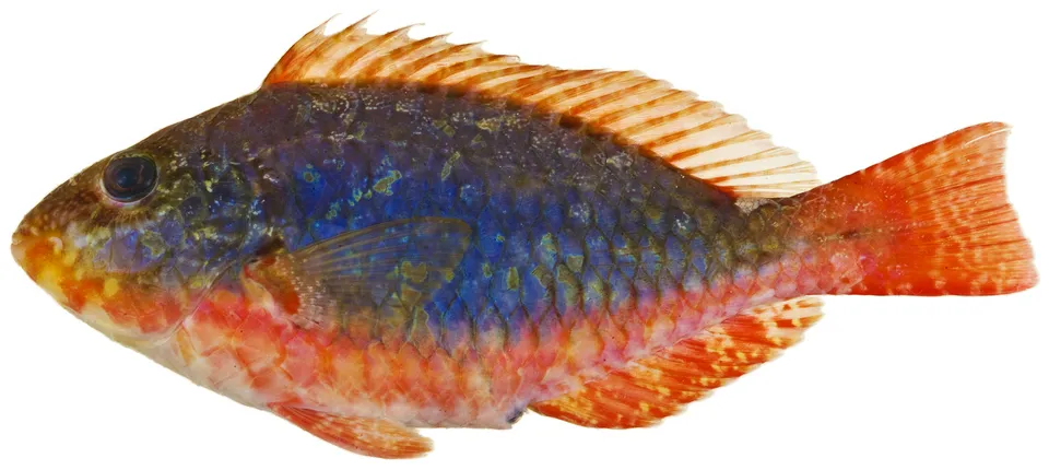
Redband Parrotfish
Sparisoma aurofrenatum9,663 records © Williams, J. T.; Carpenter, K. E.; Van Tassell, J. L.; Hoetjes, P.; Toller, W.; Etnoyer, P.; Smith, M. · CC BY 2.5
United States · Marine
National park of 70,000 hectares in the United States, established in 1980.
National park of 70,000 hectares in the United States, established in 1980.
Biscayne National Park is located in the United States (North America). It is a predominantly marine area. Established on 28 June 1980, it covers about 70,000 hectares. The site is managed by National Park Service.
In the United States (North America). Representative point: 25.5019° N, 80.1810° W.
About 70,000 hectares (700 km²). It is the 33rd largest of the 62 national parks in the United States covered by Parkavela.
On 28 June 1980.
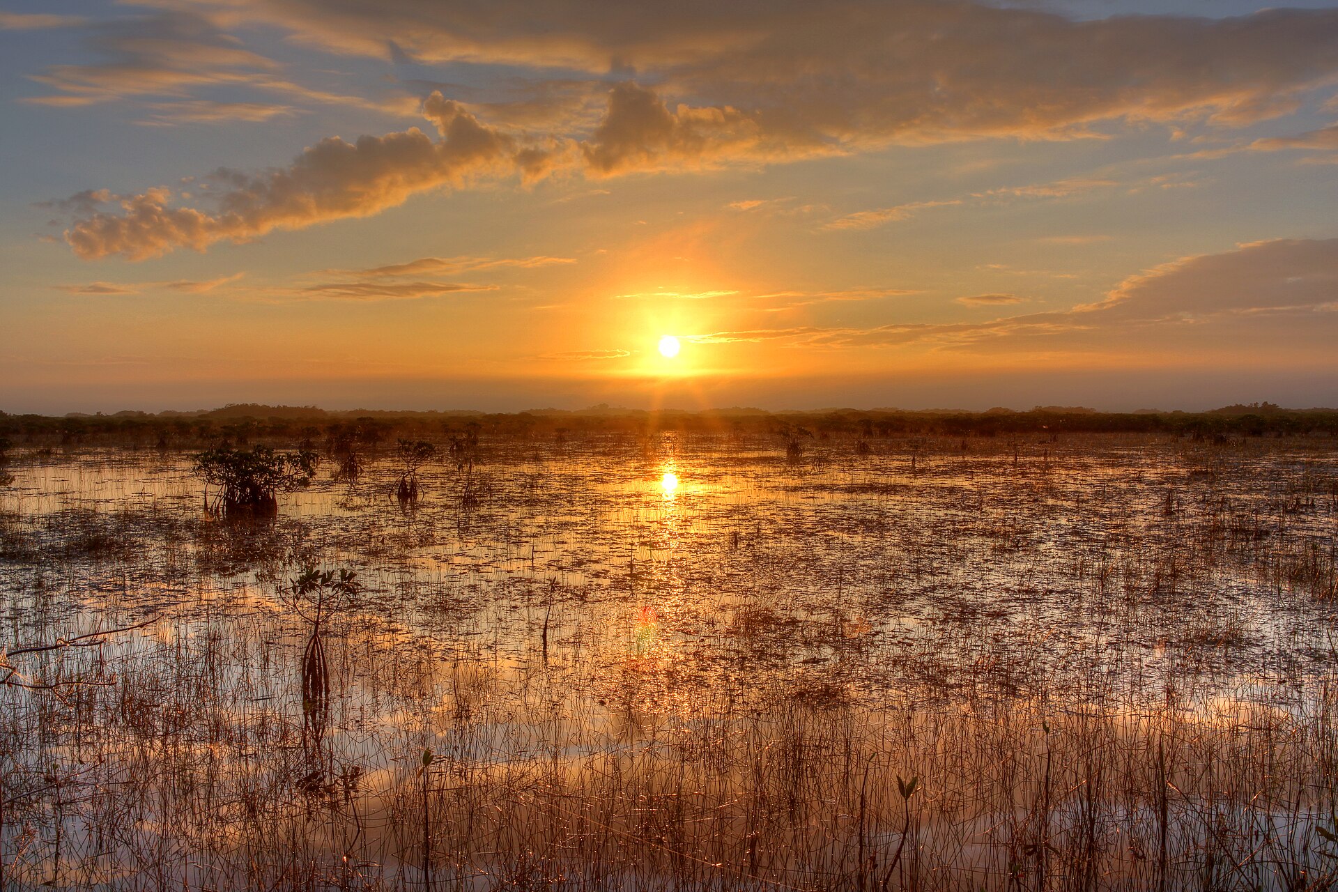
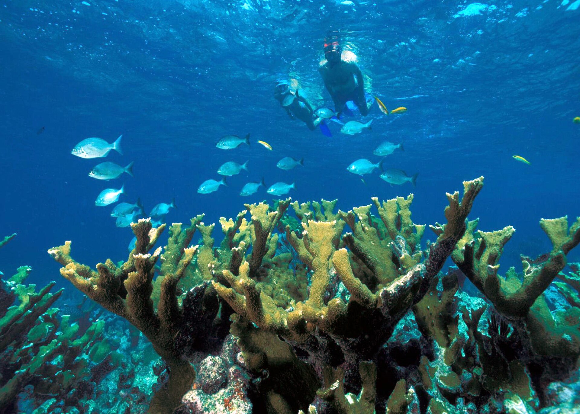
A marine area, with coasts and coral reefs.
Best time to visit: the dry season, from November to April, with less than 60 mm of rain per month.
Yes. According to Wikidata, 4 monuments listed in the National Register of Historic Places stand within the boundary. For example: “Offshore Reefs Archeological District”, “Sweeting Homestead” and “Boca Chita Key Historic District”.
Nearest towns of over 50,000 people, as the crow flies: Hialeah (23 km) and Miami Gardens (30 km). Nearest airport: Miami (MIA), about 16 km away.
The nearest railway station is Miami, about 20 km from the site boundary.
Deering Estate at Cutler Visitor Center and Biscayne National Park - Dante Fascell Vistor Center.
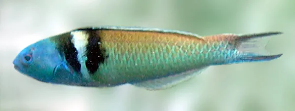
Among the species most often recorded on GBIF are Sparisoma aurofrenatum (Redband Parrotfish), Thalassoma bifasciatum (Bluehead wrasse), Scarus iseri (Striped Parrotfish) and Cardinalis cardinalis (Northern Cardinal).
National Park Service.
© OpenStreetMap
Download the boundary: GeoJSON · GPX Boundary © OpenStreetMap contributors (ODbL).
The representative point of the site lies at around 6 m above sea level. Over the 1996–2025 period, the mean annual temperature is about 24.5 °C and total precipitation reaches roughly 1,089 mm per year. The warmest month is usually August, the coolest January, and the wettest June.
● Mean temperature (°C) · ▮ Precipitation (mm)
Source: Copernicus ERA5-Land (C3S, doi:10.24381/cds.68d2bb30), monthly averages 1996–2025 interpolated to the representative point, temperatures adjusted for elevation.
Contains modified Copernicus Climate Change Service information 2026. Neither the European Commission nor ECMWF is responsible for any use that may be made of the Copernicus information or data it contains.
The sea covers about 96% of the site. The seabed reaches about 8 m deep (median depth 2 m; GEBCO bathymetry). Reef-building corals are documented in the area: 3,591 records published on GBIF.
Based on occurrences aggregated by GBIF, several species are regularly recorded within the site. Among the most frequent are Sparisoma aurofrenatum (Redband Parrotfish), Thalassoma bifasciatum (Bluehead wrasse), Scarus iseri (Striped Parrotfish) and Cardinalis cardinalis (Northern Cardinal). The full list of documented taxa is shown below.
Fish
9,663 records © Williams, J. T.; Carpenter, K. E.; Van Tassell, J. L.; Hoetjes, P.; Toller, W.; Etnoyer, P.; Smith, M. · CC BY 2.5
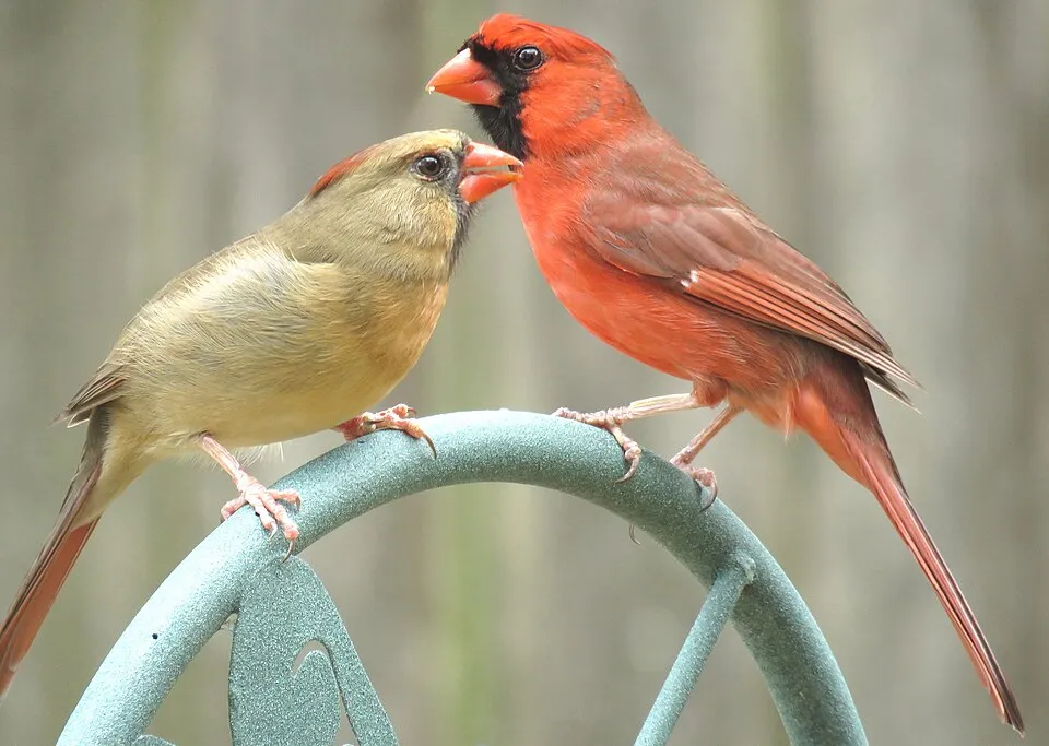
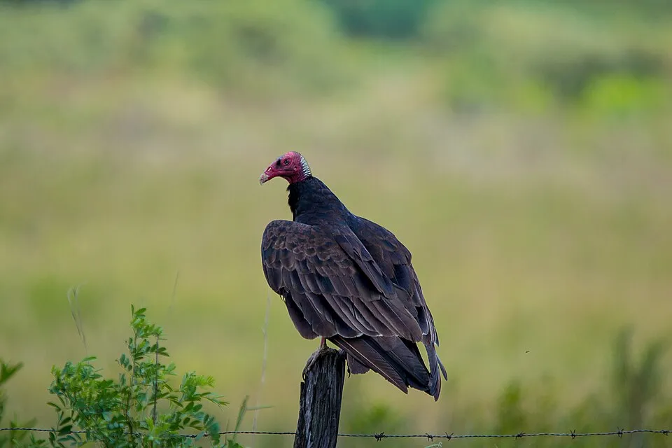
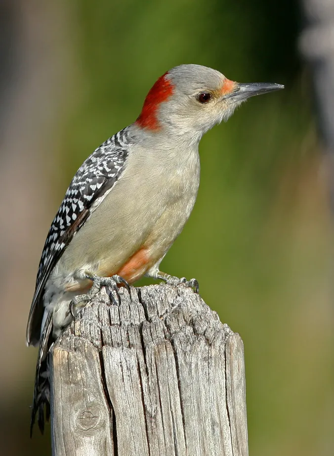
Bird
7,733 records © http://www.birdphotos.com · CC BY 3.0

Occurrences documented via GBIF; they are neither an exhaustive inventory nor proof of current presence.
Records: GBIF.org (CC-BY). Names: Wikidata (CC0), GBIF. Photos: Wikimedia Commons.
The primary purpose of the site is to preserve its natural habitats and the biodiversity they support. The species recorded (Biodiversity tab) reflect its ecological value. Its status as a national park sets the regulatory framework for its protection.
Reported by OpenStreetMap contributors (ODbL); check with the park before visiting.
Data © OpenStreetMap contributors (ODbL) · Wikidata (CC0)
Tracks © OpenStreetMap contributors (ODbL), clipped to the boundary; elevation gain and profiles computed on the longest section from Mapzen Terrain Tiles (≈ 30 m), indicative only.
The nearest railway station is Miami, about 20 km from the site boundary. Nearest towns of over 50,000 people, as the crow flies: Hialeah (23 km) and Miami Gardens (30 km). Nearest airport: Miami (MIA), about 16 km away. About 1.8 million people live within 20 km of the site boundary, 470,000 of them within 10 km (GHSL estimate, 2020). This population has grown by about 24% since 2000. Visitor information on site: Deering Estate at Cutler Visitor Center and Biscayne National Park - Dante Fascell Vistor Center. OpenStreetMap contributors list one wheelchair-accessible place: Biscayne National Park - Dante Fascell Vistor Center; check with the park before visiting. To plan a visit (access, opening periods, visitor rules), it is best to consult the official information from the managing body (National Park Service) and the official website listed in this page's sources.
Source: OpenStreetMap (ODbL), Wikidata (CC0), October 2026.
According to Wikidata, 4 monuments listed in the National Register of Historic Places stand within the boundary. Examples include “Offshore Reefs Archeological District”, “Sweeting Homestead” and “Boca Chita Key Historic District”.
Source: Wikidata (CC0), monuments in each country’s official heritage protection registers, at national or regional level. Each item links to its Wikidata entry.
Best time to visit: the dry season, from November to April, with less than 60 mm of rain per month. Precipitation peaks from June to September (up to 170 mm per month). Day length ranges from about 10 h 33 min in December to 13 h 43 min in June. Wildlife records published on GBIF peak for birds (from December to March), plants (April and May), butterflies and moths (April and May) and mammals (January and February). These peaks also reflect when observers are most active.
Source: Copernicus ERA5-Land (C3S), monthly averages 1996–2025 at the representative point, temperatures adjusted for elevation.
Contains modified Copernicus Climate Change Service information 2026. Neither the European Commission nor ECMWF is responsible for any use that may be made of the Copernicus information or data it contains.
Monthly records published on GBIF (CC-BY), relative to the busiest month; also reflects observer activity.
Data © OpenStreetMap contributors (ODbL), Wikidata (CC0) and the sources cited.