Other species
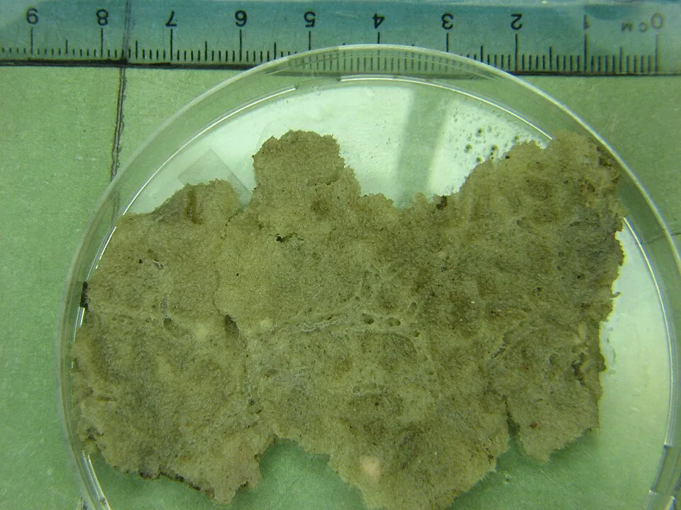
Brackish water freshwater sponge
Ephydatia fluviatilis2,002 records © Tspaulsen · CC BY-SA 2.5
Finland · Marine
National park of 14,892 hectares in Finland, established in 1991.
National park of 14,892 hectares in Finland, established in 1991.
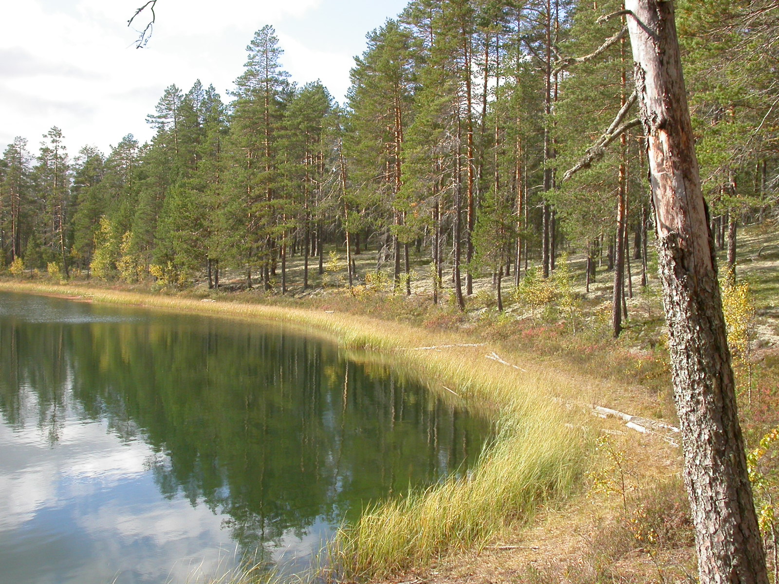
Bothnian Bay National Park is located in Finland (Europe). It is a predominantly marine area. Established in 1991, it covers about 14,892 hectares. The site is managed by Metsähallitus.
Protected as a national park. International labels and designations: Natura 2000 network (1 site: “PERÄMEREN KANSALLISPUISTO”).
In Finland (Europe). Representative point: 65.6228° N, 24.3194° E.
About 14,892 hectares (149 km²). It is the 9th largest of the 41 national parks in Finland covered by Parkavela.
In 1991.
A marine area.
Natura 2000 network (1 site: “PERÄMEREN KANSALLISPUISTO”).
Mildest period: July and August, with average temperatures of 15 to 17 °C.
Nearest towns of over 50,000 people, as the crow flies: Oulu (79 km). Nearest airport: Kemi-Tornio (KEM), about 11 km away.
The nearest railway station is Kemi, about 8 km from the site boundary.
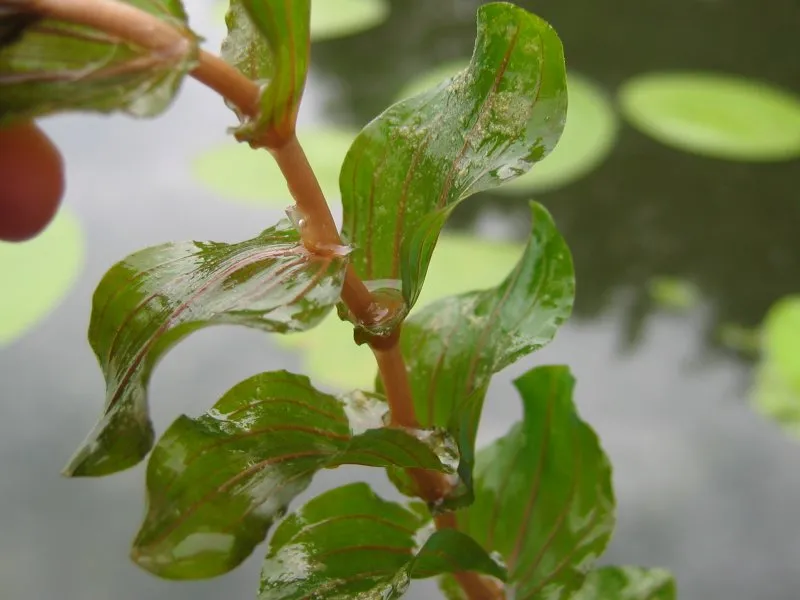
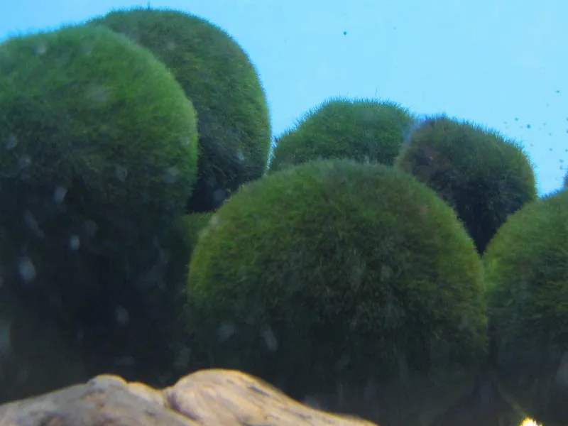
Among the species most often recorded on GBIF are Ephydatia fluviatilis (Brackish water freshwater sponge), Potamogeton perfoliatus (Perfoliate pondweed), Aegagropila linnaei (Marimo) and Fontinalis antipyretica (Antifever fontinalis moss).
Metsähallitus.
© OpenStreetMap
Download the boundary: GeoJSON · GPX Boundary © OpenStreetMap contributors (ODbL).
Over the 1996–2025 period, the mean annual temperature is about 3.0 °C and total precipitation reaches roughly 743 mm per year. The warmest month is usually July, the coolest February, and the wettest July.
● Mean temperature (°C) · ▮ Precipitation (mm)
Source: Copernicus ERA5 (C3S, doi:10.24381/cds.f17050d7), monthly averages 1996–2025 interpolated to the representative point, temperatures adjusted for elevation.
Contains modified Copernicus Climate Change Service information 2026. Neither the European Commission nor ECMWF is responsible for any use that may be made of the Copernicus information or data it contains.
The site is almost entirely marine. The seabed reaches about 18 m deep (median depth 11 m; GEBCO bathymetry). The Natura 2000 site overlapping the area lists 13 habitats of European interest (5 priority), the most extensive being reefs, natural forests of primary succession stages of landupheaval coast and European dry heaths.
Based on occurrences aggregated by GBIF, several species are regularly recorded within the site. Among the most frequent are Ephydatia fluviatilis (Brackish water freshwater sponge), Potamogeton perfoliatus (Perfoliate pondweed), Aegagropila linnaei (Marimo) and Fontinalis antipyretica (Antifever fontinalis moss). The full list of documented taxa is shown below. The overlapping Natura 2000 site lists 5 species of European interest: 2 mammals and 3 plants.
From the official form of the Natura 2000 site overlapping the area (areas reported for the whole site).
and 5 more
Baltic Water-plantain (Alisma wahlenbergii), Artemisia campestris subsp. bottnica, Siberian primrose (Primula nutans)
Source: Natura 2000 standard data forms (EEA, CC-BY 4.0). Not exhaustive: sensitive species are not published.
Other species
2,002 records © Tspaulsen · CC BY-SA 2.5
Plant
665 records © Kristian Peters -- Fabelfroh 08:58, 11 October 2006 (UTC) · CC BY-SA 3.0
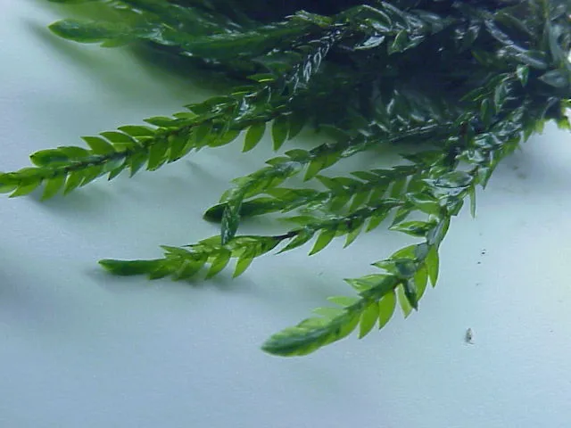
Plant
456 records © Kurt Stüber [1] · CC BY-SA 3.0
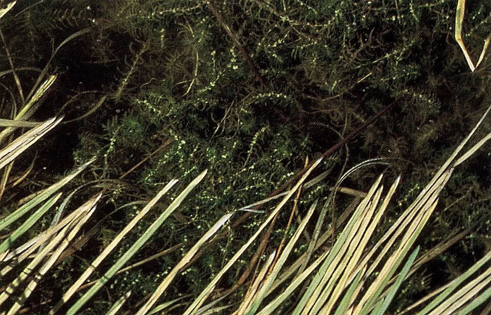
Plant
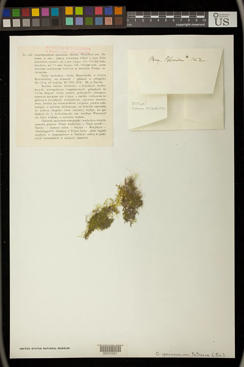
Plant
398 records © National Museum of Natural History · CC0-1.0
Occurrences documented via GBIF; they are neither an exhaustive inventory nor proof of current presence.
Records: GBIF.org (CC-BY). Names: Wikidata (CC0), GBIF. Photos: Wikimedia Commons.
The primary purpose of the site is to preserve its natural habitats and the biodiversity they support. The species recorded (Biodiversity tab) reflect its ecological value. The designations it holds frame its management and the control of land use.
According to the European CORINE Land Cover inventory (Copernicus), land cover changed on about 10 ha of the site between 2000 and 2018 (15% of its area): farmland grew by 10 ha, mostly at the expense of forest, while forest shrank by 10 ha, mostly giving way to farmland. According to the Natura 2000 forms, of 13 assessed habitats of European interest, 5 are in excellent condition and 1 in average or reduced condition. Invasive alien species have been recorded within the site since 2000 (GBIF observations), several of them listed as of Union concern. Among them: Eriocheir sinensis (Chinese mitten crab), Nyctereutes procyonoides (Raccoon Dog) and Ondatra zibethicus (Muskrat).
10 ha
changed cover, 2000–2018 · CORINE · 15% of the area
3
incl. 3 of EU concern · since 2000
Photos: Chinese mitten crab © Christian Fischer · CC BY-SA 3.0; Raccoon Dog © Доктор рукиноги · CC BY-SA 3.0; Muskrat © David Menke · Public domain
Sources: Global Forest Change (Hansen et al., University of Maryland, via Global Forest Watch, CC-BY 4.0); EFFIS, European Commission / Copernicus; NASA Black Marble 2016 (public domain); CORINE Land Cover 2018 (Copernicus) or MODIS.
CORINE Land Cover Change 2000–2018: generated using European Union's Copernicus Land Monitoring Service information (EEA), aggregated by Parkavela; DOI 10.2909/f30f1000-7cf8-43bb-872c-5eb093911b24.
Invasive alien species: Global Register of Introduced and Invasive Species (ISSG, CC BY 4.0); Union list, Regulation (EU) 1143/2014 (INBO, CC0); GBIF.org records (CC0 / CC BY 4.0), at least 2 per species.
Data © OpenStreetMap contributors (ODbL) · Wikidata (CC0)
Tracks © OpenStreetMap contributors (ODbL), clipped to the boundary; elevation gain and profiles computed on the longest section from Mapzen Terrain Tiles (≈ 30 m), indicative only.
The nearest railway station is Kemi, about 8 km from the site boundary. Nearest towns of over 50,000 people, as the crow flies: Oulu (79 km). Nearest airport: Kemi-Tornio (KEM), about 11 km away. About 58,000 people live within 20 km of the site boundary, 33,000 of them within 10 km (GHSL estimate, 2020). This population has fallen by about 6% since 2000. To plan a visit (access, opening periods, visitor rules), it is best to consult the official information from the managing body (Metsähallitus) and the official website listed in this page's sources.
Source: OpenStreetMap (ODbL), Wikidata (CC0), October 2026.
Mildest period: July and August, with average temperatures of 15 to 17 °C. Average temperatures drop below 0 °C from December to April: expect snow and frost. Day length ranges from about 3 h 12 min in December to 22 h 52 min in June. Wildlife records published on GBIF peak for birds (June), plants (August) and mammals (April). These peaks also reflect when observers are most active.
Source: Copernicus ERA5 (C3S), monthly averages 1996–2025 at the representative point, temperatures adjusted for elevation.
Contains modified Copernicus Climate Change Service information 2026. Neither the European Commission nor ECMWF is responsible for any use that may be made of the Copernicus information or data it contains.
Monthly records published on GBIF (CC-BY), relative to the busiest month; also reflects observer activity.
Data © OpenStreetMap contributors (ODbL), Wikidata (CC0) and the sources cited.
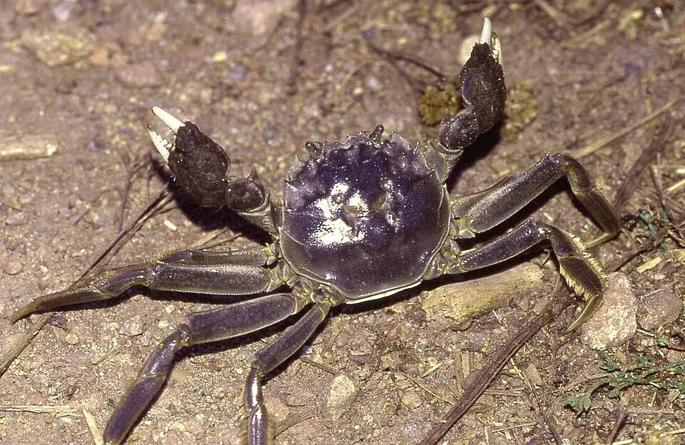 Chinese mitten crabEU
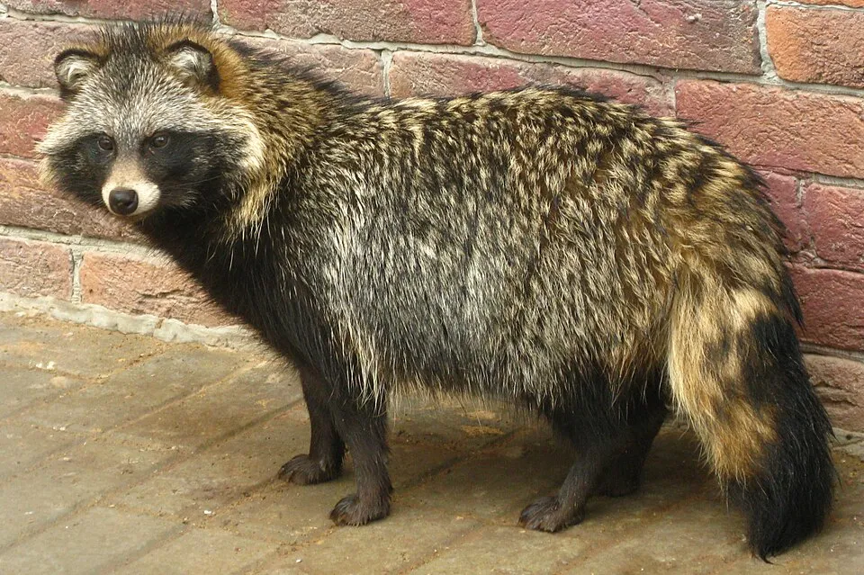 Raccoon Dog
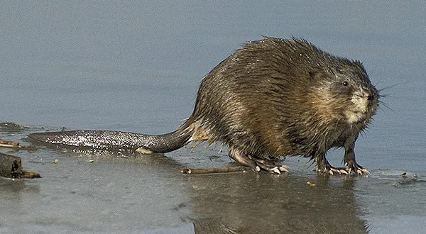 MuskratEU