Australia · Terrestrial
Douglas-Apsley National Park
National park of 15,834 hectares in Australia, established in 1989.
Overview
National park of 15,834 hectares in Australia, established in 1989.
Douglas-Apsley National Park is located in Australia (Oceania). It is a predominantly terrestrial area. Established in 1989, it covers about 15,834 hectares. The site is managed by Tasmania Parks and Wildlife Service.
In our collections
Frequently asked questions
Where is Douglas-Apsley National Park?
In Australia (Oceania). Representative point: 41.7583° S, 148.1990° E.
How large is Douglas-Apsley National Park?
About 15,834 hectares (158 km²). It is the 233rd largest of the 678 national parks in Australia covered by Parkavela.
When was Douglas-Apsley National Park established?
In 1989.
What habitats and landscapes does Douglas-Apsley National Park include?
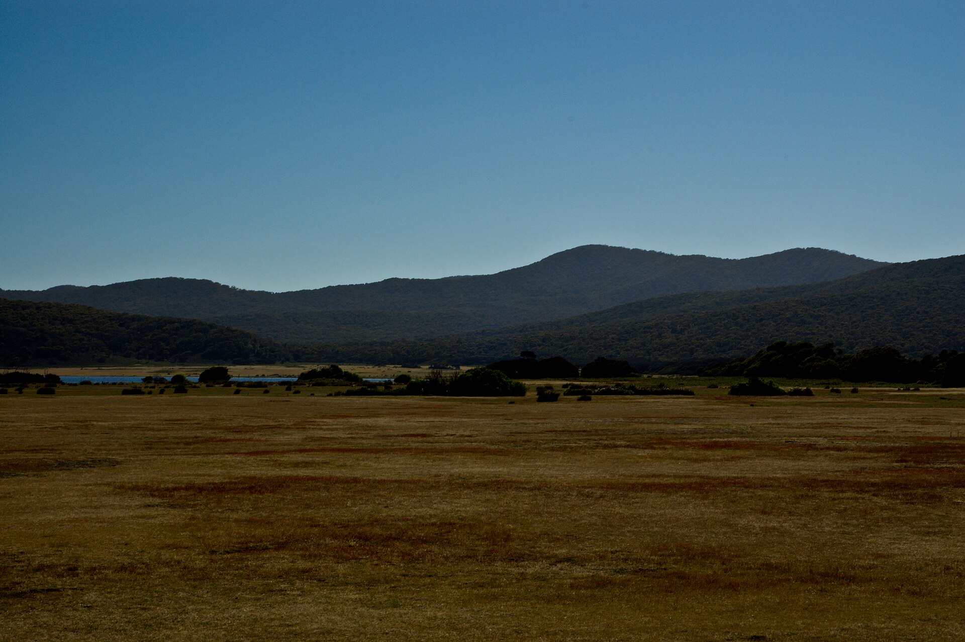
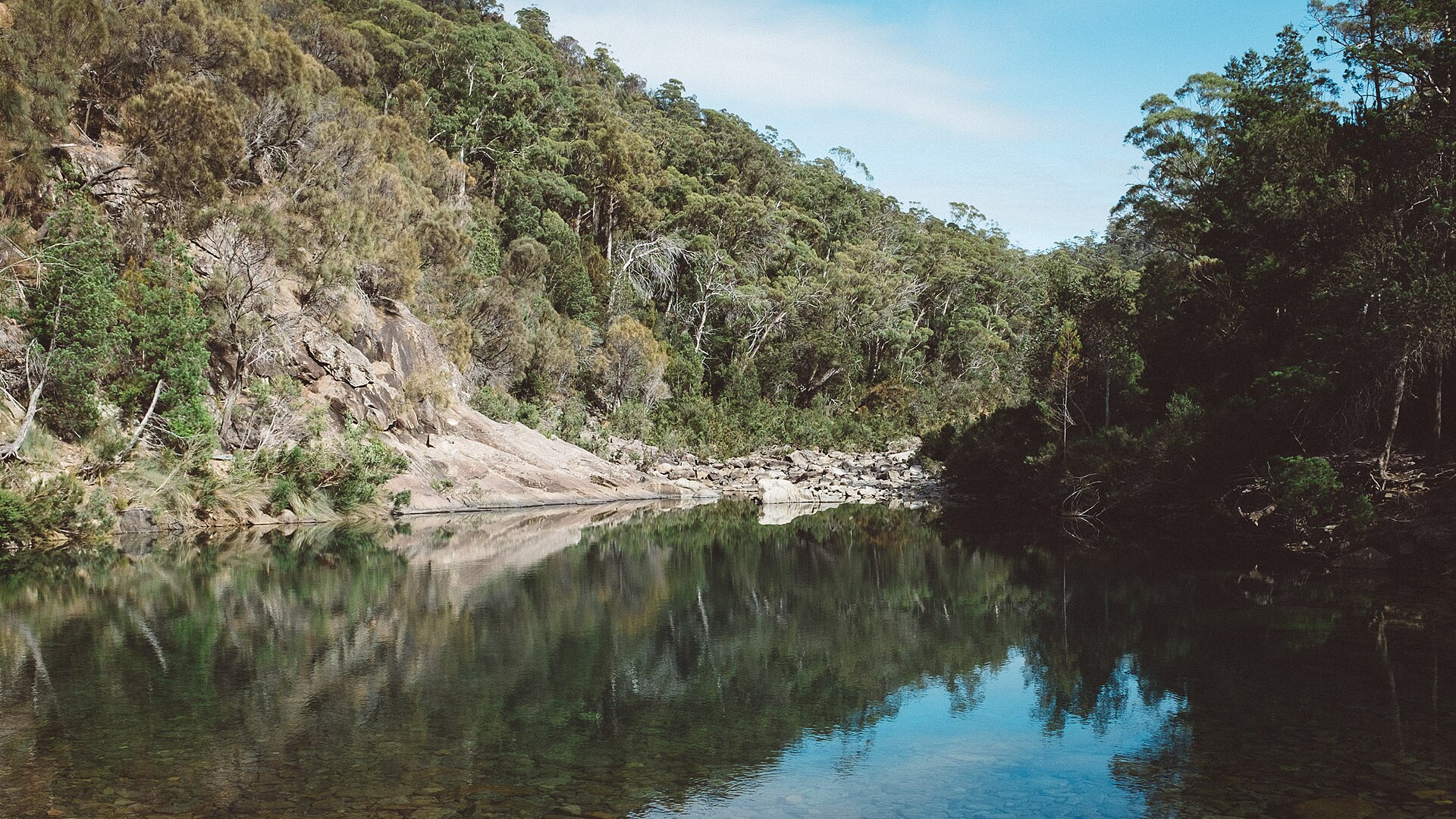
A terrestrial area, with forests.
What is the highest point of Douglas-Apsley National Park?
Dogwood Hill, at 685 m (OpenStreetMap).
What are the main summits of Douglas-Apsley National Park?
Dogwood Hill (685 m), Lookout Hill (640 m), Organ Hill (636 m), Pennefathers Knob (625 m) and Mount Andrew (475 m) (OpenStreetMap).
When is the best time to visit Douglas-Apsley National Park?
Best time to visit: from September to May, with average temperatures of 10 to 17 °C and moderate rainfall.
What is the nearest large city to Douglas-Apsley National Park?
Nearest towns of over 50,000 people, as the crow flies: Launceston (89 km). Nearest airport: Launceston (LST), about 80 km away.
How can I reach Douglas-Apsley National Park by train?
The nearest railway station is Fingal, about 17 km from the site boundary.
Which species can be seen in Douglas-Apsley National Park?
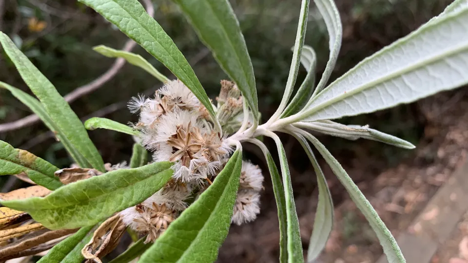
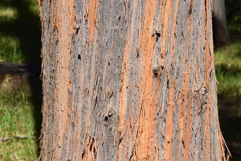
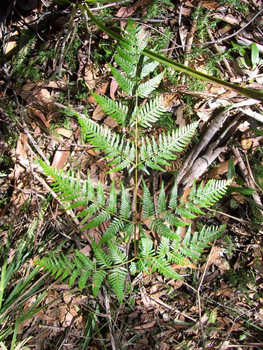
Among the species most often recorded on GBIF are Eucalyptus amygdalina (Black Peppermint), Bedfordia salicina (Blanketleaf), Eucalyptus delegatensis (Alpine-ash) and Pteridium esculentum (Austral bracken).
Who manages Douglas-Apsley National Park?
Tasmania Parks and Wildlife Service.
What is the official website of Douglas-Apsley National Park?
© OpenStreetMap
Download the boundary: GeoJSON · GPX Boundary © OpenStreetMap contributors (ODbL).
Geography
The representative point of the site lies at around 197 m above sea level. Over the 1996–2025 period, the mean annual temperature is about 12.3 °C and total precipitation reaches roughly 711 mm per year. The warmest month is usually January, the coolest July, and the wettest November.
Area
- Area
- 15,834 ha
- Elevation
- 197 m
- Median elevation
- 413 m
- Mean slope
- 12°
- Coordinates
- -41.7583, 148.199
Terrain: Mapzen Terrain Tiles (SRTM, USGS)
Main summits
- Dogwood Hill685 m
- Lookout Hill640 m
- Organ Hill636 m
- Pennefathers Knob625 m
- Mount Andrew475 m
- Mount Allan453 m
Data © OpenStreetMap contributors (ODbL)
Climate
● Mean temperature (°C) · ▮ Precipitation (mm)
Source: Copernicus ERA5-Land (C3S, doi:10.24381/cds.68d2bb30), monthly averages 1996–2025 interpolated to the representative point, temperatures adjusted for elevation.
Contains modified Copernicus Climate Change Service information 2026. Neither the European Commission nor ECMWF is responsible for any use that may be made of the Copernicus information or data it contains.
Snow cover measured by satellite
J
F
M
A
M
J
J
A
S
O
N
D
average share of the site under snow · snowiest parts · ≈ 20 days a year
Snow cover: MODIS/Terra MOD10CM v61 (Hall & Riggs, 2021, NASA NSIDC DAAC, doi:10.5067/MODIS/MOD10CM.061), imagery from NASA GIBS (ESDIS); 2015–2025 average, grid of about 5 km.
Natural habitats
According to the global MODIS land cover (NASA, 2024), the site is mainly made up of forests (100%). It is mostly dense evergreen broadleaved forest. Elevation ranges from about 60 m to 685 m (highest point: Dogwood Hill).
Biodiversity
Based on occurrences aggregated by GBIF, several species are regularly recorded within the site. Among the most frequent are Eucalyptus amygdalina (Black Peppermint), Bedfordia salicina (Blanketleaf), Eucalyptus delegatensis (Alpine-ash) and Pteridium esculentum (Austral bracken). The full list of documented taxa is shown below.
Species to look out for

Plant
Silver banksia
Banksia marginata252 records © JJ Harrison (https://www.jjharrison.com.au/) · CC BY-SA 3.0

Observed species
Occurrences documented via GBIF; they are neither an exhaustive inventory nor proof of current presence.
- Black Peppermint · Eucalyptus amygdalina · 307
- Blanketleaf · Bedfordia salicina · 281
- Alpine-ash · Eucalyptus delegatensis · 278
- Austral bracken · Pteridium esculentum · 264
- Silver banksia · Banksia marginata · 252
- Manna gum · Eucalyptus viminalis · 241
- Guitar Plant · Lomatia tinctoria · 241
- Raspwort · Gonocarpus teucrioides · 191
- Long mat-rush · Lomandra longifolia · 172
- Messmate Stringybark · Eucalyptus obliqua · 164
- Leptecophylla pendulosa · 155
- Native Cherry · Exocarpos cupressiformis · 122
+18 more species
- Silver peppermint · Eucalyptus tenuiramis · 114
- Lepidosperma inops · 109
- Erect guinea-flower · Hibbertia riparia · 107
- Broom teatree · Leptospermum scoparium · 104
- Epacris grandis · 102
- Grey Fantail · Rhipidura albiscapa · 98
- Blackwood · Acacia melanoxylon · 95
- Black she-oak · Allocasuarina littoralis · 94
- Golden bush-pea · Pultenaea gunnii · 91
- Yellow Wattlebird · Anthochaera paradoxa · 90
- Spyridium obovatum · 89
- Hairy Pink-bells · Tetratheca pilosa · 89
- Tasman flax-lily · Dianella tasmanica · 84
- Silver Wattle · Acacia dealbata · 81
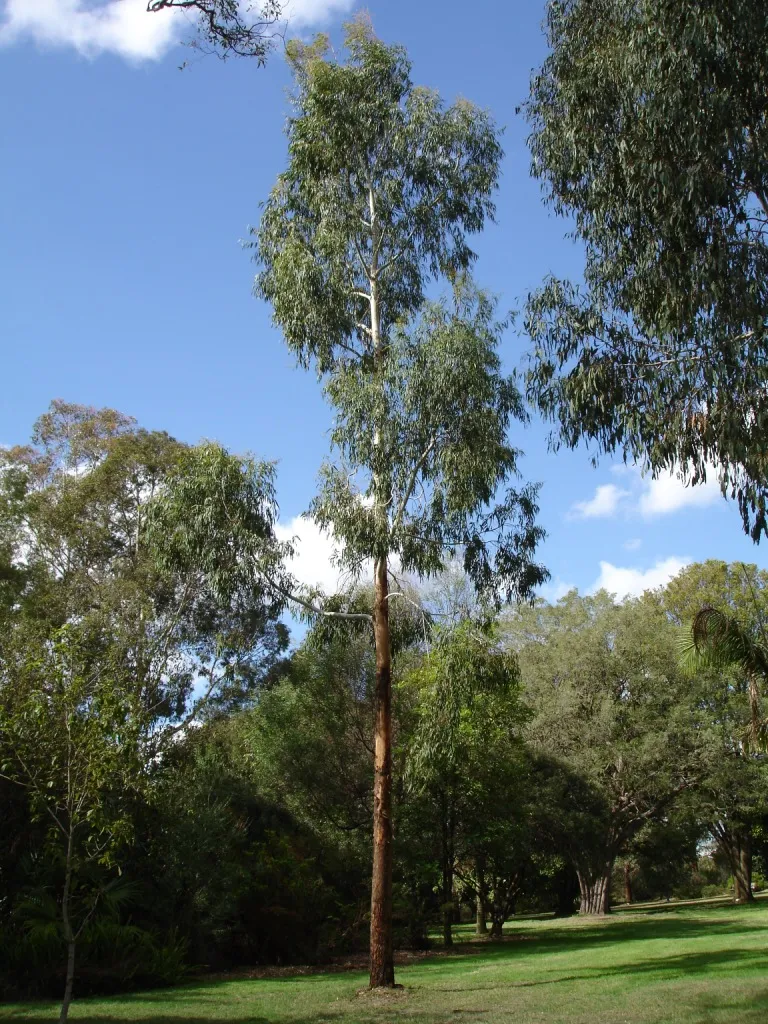
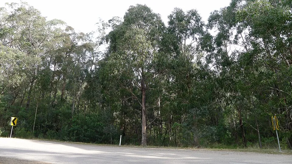
- Tasmanian bluegum · Eucalyptus globulus · 81
- White Iris · Diplarrena moraea · 79
- Forest Raven · Corvus tasmanicus · 77
- Superb fairywren · Malurus cyaneus · 74
Records: GBIF.org (CC-BY). Names: Wikidata (CC0), GBIF. Photos: Wikimedia Commons.
Conservation challenges
The primary purpose of the site is to preserve its natural habitats and the biodiversity they support. The species recorded (Biodiversity tab) reflect its ecological value. Its status as a national park sets the regulatory framework for its protection.
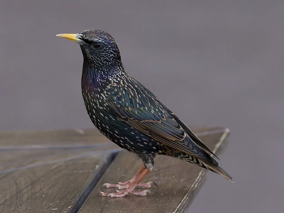
According to Global Forest Change data (University of Maryland, Global Forest Watch), about 59 ha of tree cover were lost within the boundary between 2001 and 2023 (under 1% of its area), peaking in 2007 and 2013. These losses include logging, storms and fires, and do not account for regrowth. At night, the area gives off virtually no artificial light detectable from space (NASA VIIRS Black Marble composite, 2016). Invasive alien species have been recorded within the site since 2000 (GBIF observations). Among them: Eucalyptus globulus (Tasmanian bluegum), Alauda arvensis (Eurasian Skylark) and Sturnus vulgaris (Common Starling).
Pressure indicators
Tree cover lost
59 ha
2001–2023 · < 1% of the area
20012023
Light at night
0%
of the area gives off artificial light visible from space
DarkLit
Invasive alien species
4
recorded since 2000
 Tasmanian bluegum
 Eurasian Skylark
 Common Starling
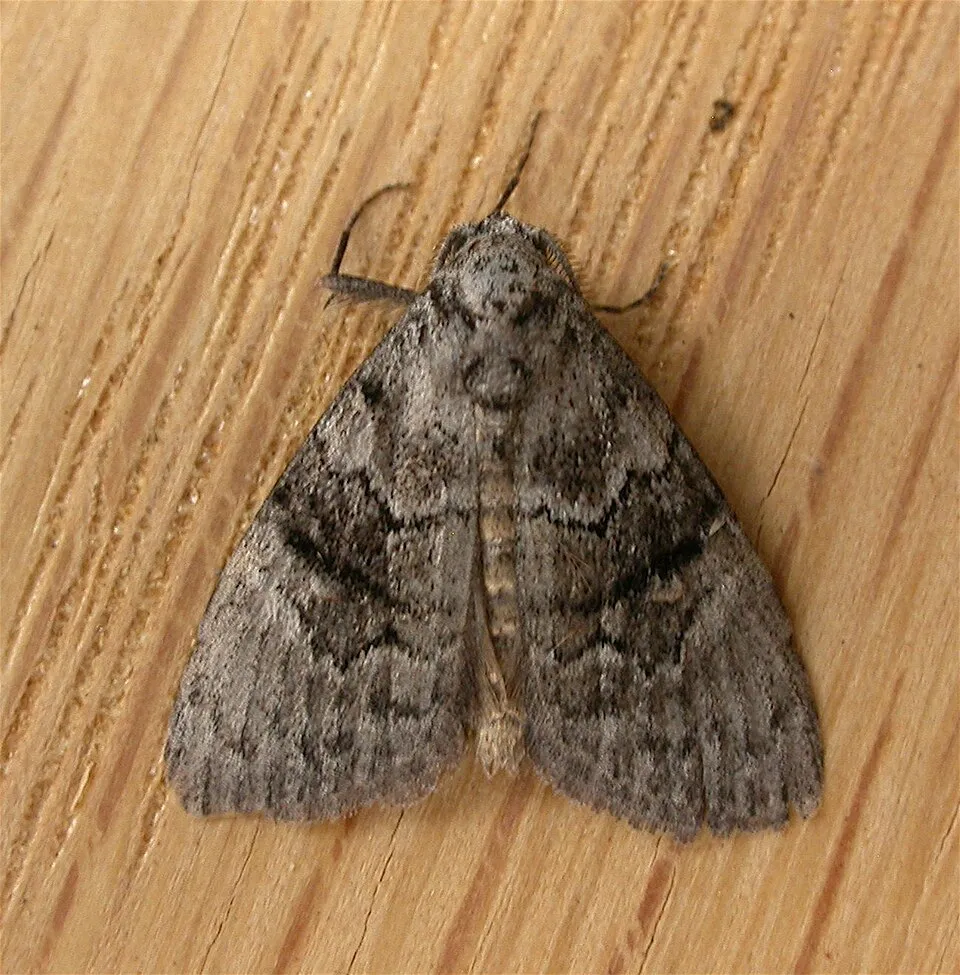 Gum Leaf Skeletoniser
Photos: Tasmanian bluegum © John Tann from Sydney, Australia · CC BY 2.0; Eurasian Skylark © El Golli Mohamed · CC BY-SA 4.0; Common Starling © PierreSelim · CC BY-SA 3.0; Gum Leaf Skeletoniser © dhobern · CC BY 2.0
Sources: Global Forest Change (Hansen et al., University of Maryland, via Global Forest Watch, CC-BY 4.0); EFFIS, European Commission / Copernicus; NASA Black Marble 2016 (public domain); CORINE Land Cover 2018 (Copernicus) or MODIS.
Invasive alien species: Global Register of Introduced and Invasive Species (ISSG, CC BY 4.0); Union list, Regulation (EU) 1143/2014 (INBO, CC0); GBIF.org records (CC0 / CC BY 4.0), at least 2 per species.
Practical information
Cities and airport
- Launceston
89 km as the crow flies - Airport: Launceston (LST)
80 km as the crow flies
Parking
1 public car parks listed within the site
Data © OpenStreetMap contributors (ODbL) · Wikidata (CC0)
Access and visiting
The nearest railway station is Fingal, about 17 km from the site boundary. Nearest towns of over 50,000 people, as the crow flies: Launceston (89 km). Nearest airport: Launceston (LST), about 80 km away. Fewer than 5,000 people live within 20 km of the site boundary, a very sparsely populated area; the site itself is virtually uninhabited (GHSL estimate, 2020). Public car parks listed within the site: 1. To plan a visit (access, opening periods, visitor rules), it is best to consult the official information from the managing body (Tasmania Parks and Wildlife Service) and the official website listed in this page's sources.
Source: OpenStreetMap (ODbL), Wikidata (CC0), November 2026.
When to visit
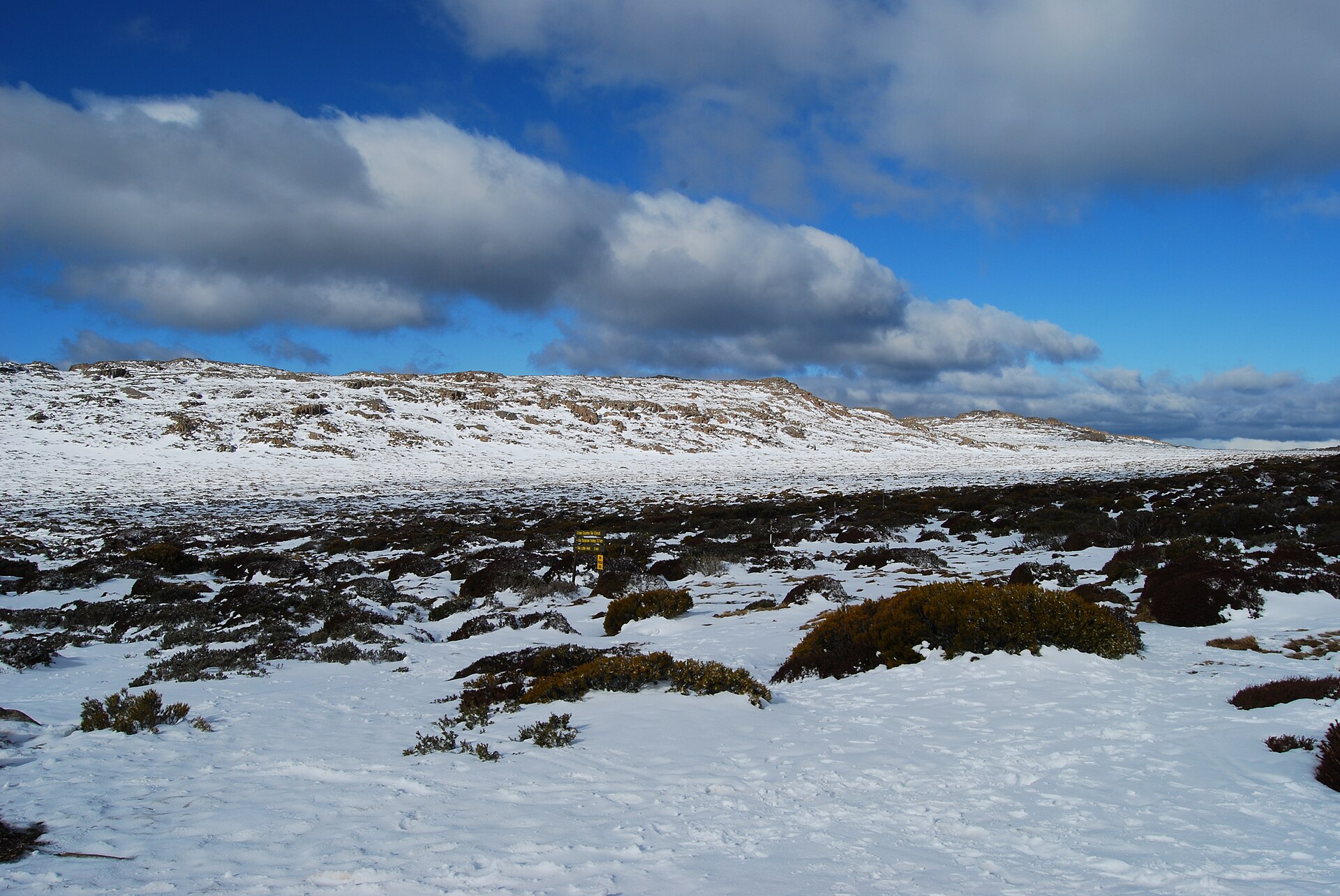
Best time to visit: from September to May, with average temperatures of 10 to 17 °C and moderate rainfall. Snow only makes brief appearances in winter (about 20 days a year on average, MODIS satellites 2015–2025). Day length ranges from about 9 h 10 min in June to 15 h 12 min in December. Wildlife records published on GBIF peak for birds (December) and plants (June). These peaks also reflect when observers are most active.
Source: Copernicus ERA5-Land (C3S), monthly averages 1996–2025 at the representative point, temperatures adjusted for elevation.
Contains modified Copernicus Climate Change Service information 2026. Neither the European Commission nor ECMWF is responsible for any use that may be made of the Copernicus information or data it contains.
Wildlife records calendar
JFMAMJJASOND
Birds
Plants
Monthly records published on GBIF (CC-BY), relative to the busiest month; also reflects observer activity.
Gallery
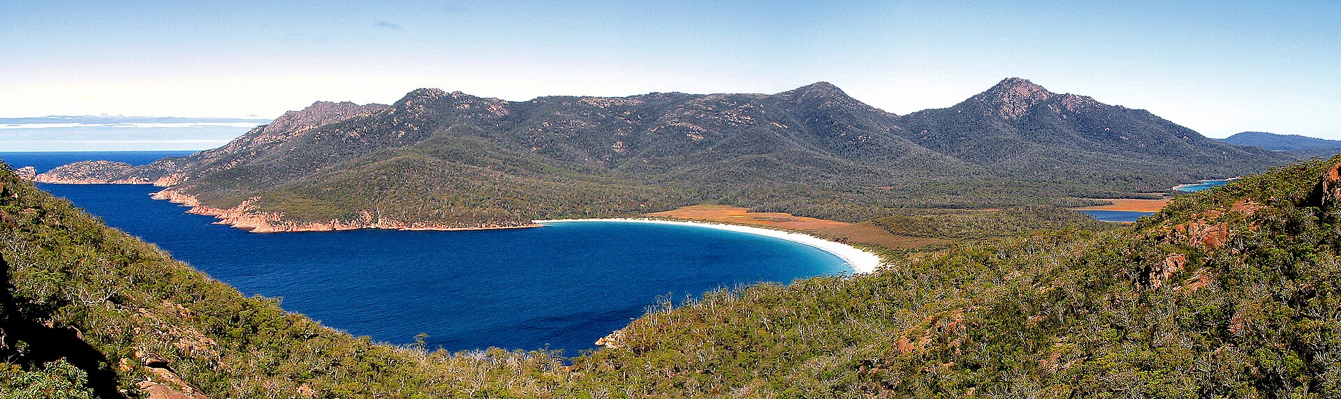
© VirtualWolf from Sydney, Australia · CC BY-SA 2.0
© Guido Rudolph (Chalyptratus08) · CC0-1.0
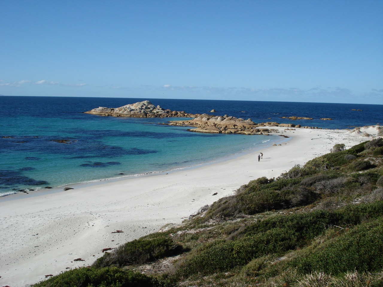
© Bill · CC BY-SA 4.0
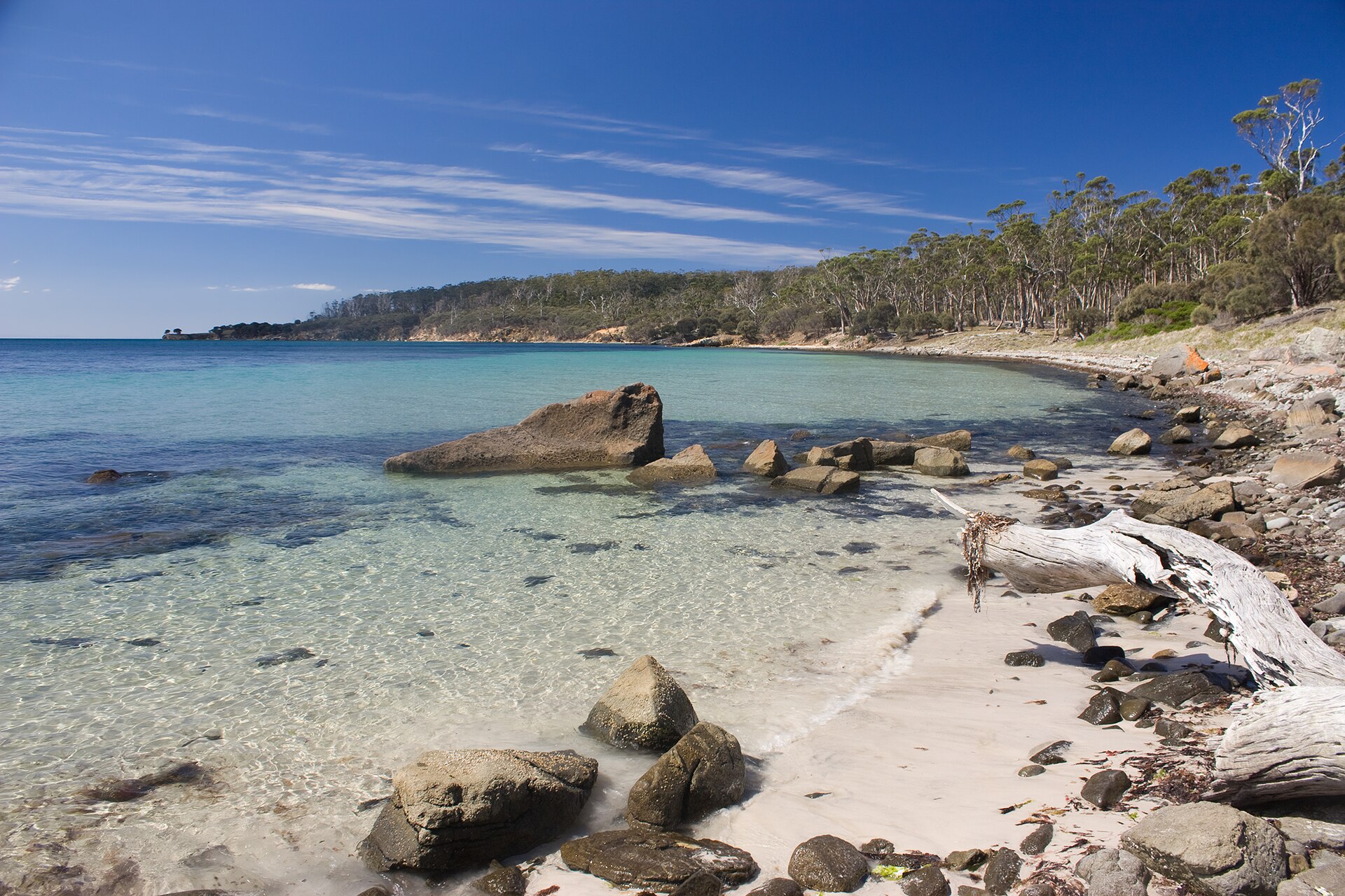
© Linda Muldoon · CC BY-SA 4.0
© Guido Rudolph (Chalyptratus08) · CC0-1.0
© Guido Rudolph (Chalyptratus08) · CC0-1.0
Sources and licences
- Wikidata: Q1251931
- OpenStreetMap: relation 3044788
- Official website: http://www.parks.tas.gov.au/index.aspx?base=3330
- Wikipedia: en.wikipedia.org/wiki/Douglas-Apsley_National_Park
- WDPA: 309403
References
- cds.climate.copernicus.eu: climate · CC-BY-4.0
- registry.opendata.aws: elevation of the reference point, detailed relief · PD
- lpdaac.usgs.gov: land cover · PD
- doi.org: population around the site · CC-BY-4.0
- naturalearthdata.com: sea share · PD
- wikidata.org: official area, highest point, establishment date, protected heritage, managing body, official name, nearby cities and airport, lake depths, official website · CC0-1.0
- en.eurovelo.com: EuroVelo cycle routes · ODbL-1.0
- cycling.waymarkedtrails.org: cycle routes · ODbL-1.0
- opentopodata.org: elevations · PD
- globalforestwatch.org: tree cover loss · CC-BY-4.0
- gbif.org: seasonality of sightings, invasive alien species, observed species · CC-BY-4.0
- earthobservatory.nasa.gov: night light · PD
- openstreetmap.org: access and peaks · ODbL-1.0
- nsidc.org: snow cover · PD
- wikidata.org: Wikipedia article · CC-BY-SA-4.0
Data © OpenStreetMap contributors (ODbL), Wikidata (CC0) and the sources cited.