Bird
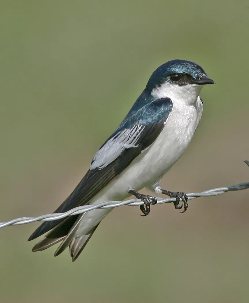
White-winged Swallow
Tachycineta albiventer1,547 records © http://www.birdphotos.com · CC BY 3.0
Peru · Terrestrial
National park of 1,716,300 hectares in Peru, established in 1973.
National park of 1,716,300 hectares in Peru, established in 1973.
Manu National Park is located in Peru (South America). It is a predominantly terrestrial area. Established on 29 May 1973, it covers about 1,716,300 hectares.
Protected as a national park. International labels and designations: UNESCO World Heritage (“Manu National Park”) and UNESCO Biosphere Reserve (“Reserva de la Biósfera del Manu”). Key dates: established in 1973, Biosphere Reserve in 1977 and World Heritage listing in 1987.
Sources: Wikidata (CC0) for establishment and international labels; EEA Natura 2000 database (CC-BY 4.0) for site designation dates.
In Peru (South America). Representative point: 12.1400° S, 71.6600° W.
About 1,716,300 hectares (17,163 km²). It is the 2nd largest of the 15 national parks in Peru covered by Parkavela.
On 29 May 1973.
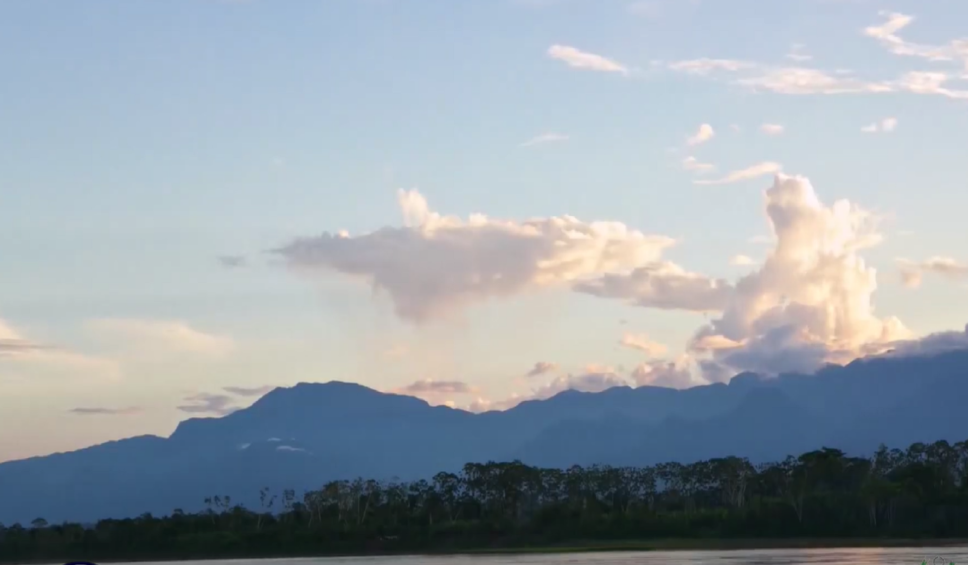
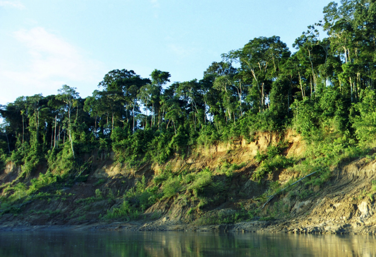
A terrestrial area, with forests and mountains.
UNESCO World Heritage (“Manu National Park”) and UNESCO Biosphere Reserve (“Reserva de la Biósfera del Manu”).
Best time to visit: the dry season, from June to September, with less than 90 mm of rain per month.
Nearest towns of over 50,000 people, as the crow flies: Wanchaq (52 km) and Cusco (53 km). Nearest airport: Alejandro Velasco Astete (CUZ), about 51 km away.
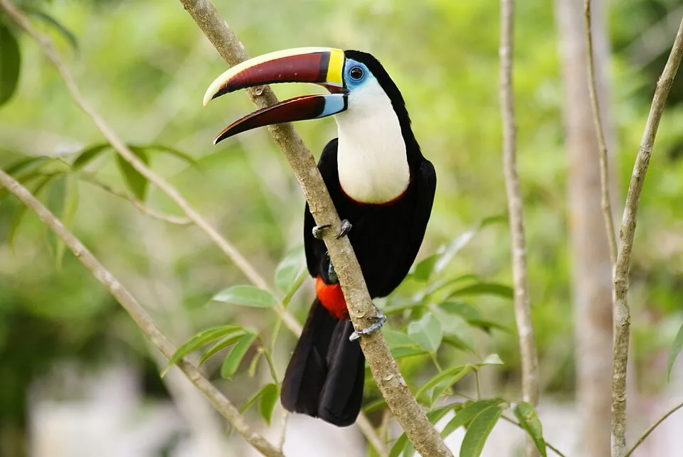
Among the species most often recorded on GBIF are Tachycineta albiventer (White-winged Swallow), Monasa nigrifrons (Black-fronted Nunbird), Phaetusa simplex (Large-billed Tern) and Ramphastos tucanus (White-throated Toucan).
© OpenStreetMap
Download the boundary: GeoJSON · GPX Boundary © OpenStreetMap contributors (ODbL).
The representative point of the site lies at around 471 m above sea level. Over the 1996–2025 period, the mean annual temperature is about 23.4 °C and total precipitation reaches roughly 1,739 mm per year. The warmest month is usually October, the coolest June, and the wettest March.
Terrain: Mapzen Terrain Tiles (SRTM, USGS)
share of the site in each elevation band (smoothed terrain model: summits are rounded off) · Terrain: Mapzen Terrain Tiles (SRTM, USGS)
● Mean temperature (°C) · ▮ Precipitation (mm)
Source: Copernicus ERA5-Land (C3S, doi:10.24381/cds.68d2bb30), monthly averages 1996–2025 interpolated to the representative point, temperatures adjusted for elevation.
Contains modified Copernicus Climate Change Service information 2026. Neither the European Commission nor ECMWF is responsible for any use that may be made of the Copernicus information or data it contains.
According to the global MODIS land cover (NASA, 2024), the site is mainly made up of forests (99%). It is mostly dense evergreen broadleaved forest. Elevation ranges from about 280 to 3,530 m (sampled elevations, SRTM). Median elevation is 459 m, and 14% of the site lies above 1,500 m (SRTM elevation model).
Based on occurrences aggregated by GBIF, several species are regularly recorded within the site. Among the most frequent are Tachycineta albiventer (White-winged Swallow), Monasa nigrifrons (Black-fronted Nunbird), Phaetusa simplex (Large-billed Tern) and Ramphastos tucanus (White-throated Toucan). The full list of documented taxa is shown below.
Bird
1,547 records © http://www.birdphotos.com · CC BY 3.0

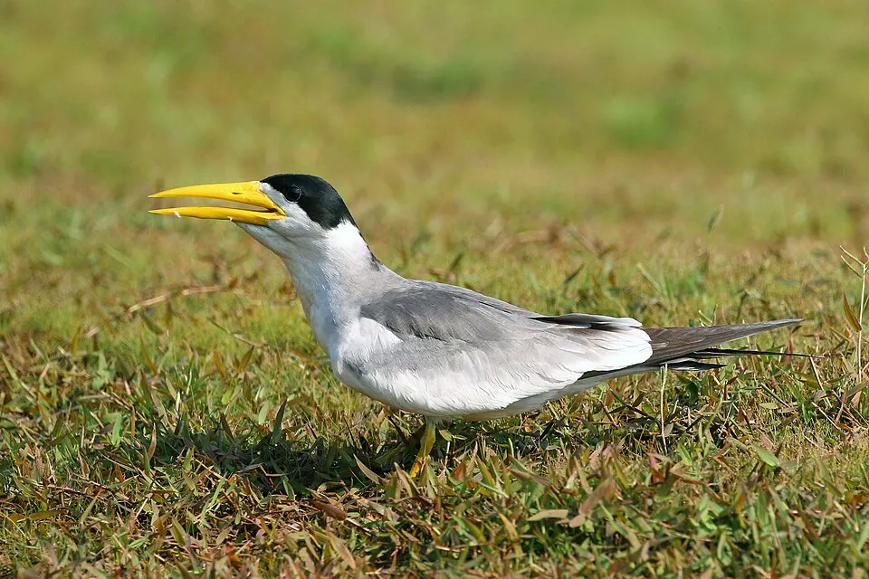
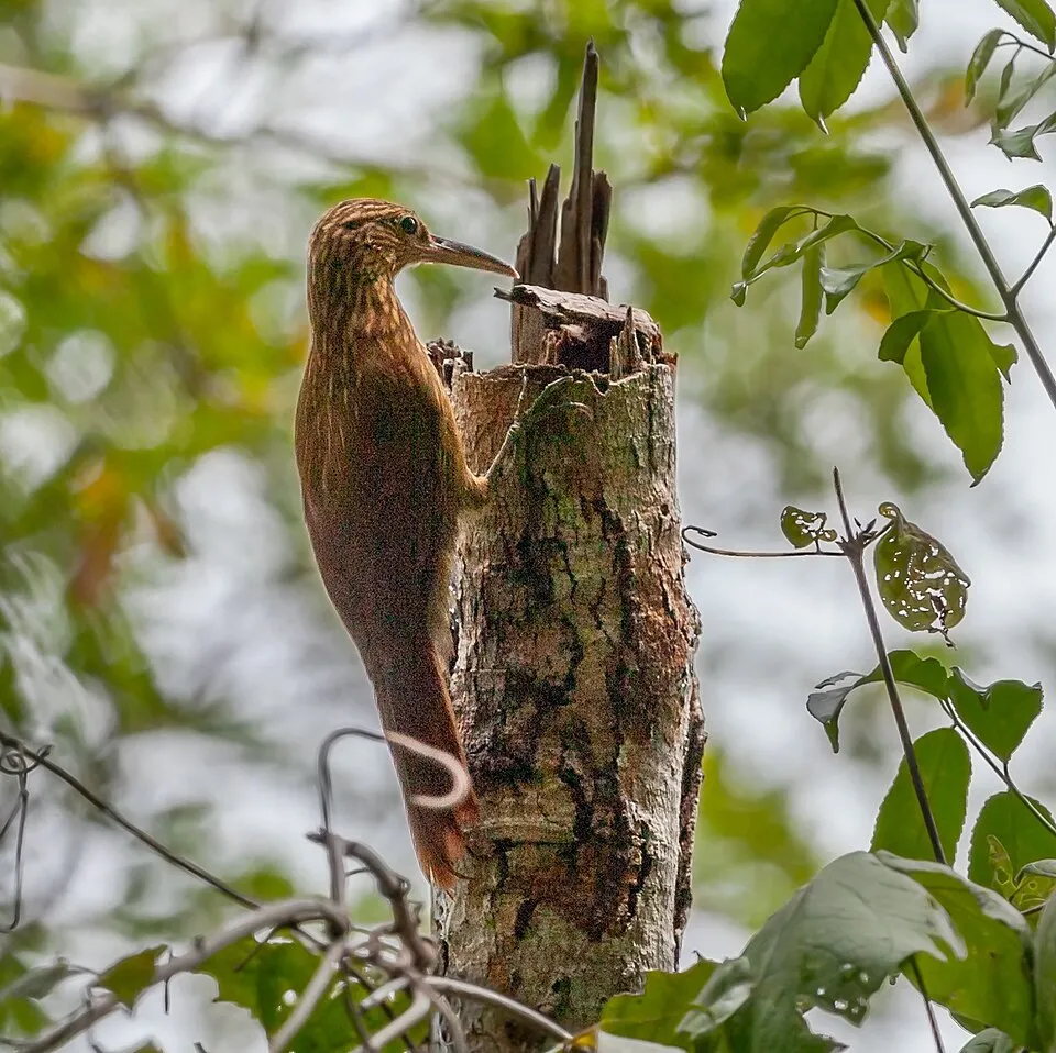
Bird
1,240 records © Leonardo C. Fleck (leonardofleck@yahoo.com.br) · CC BY-SA 3.0
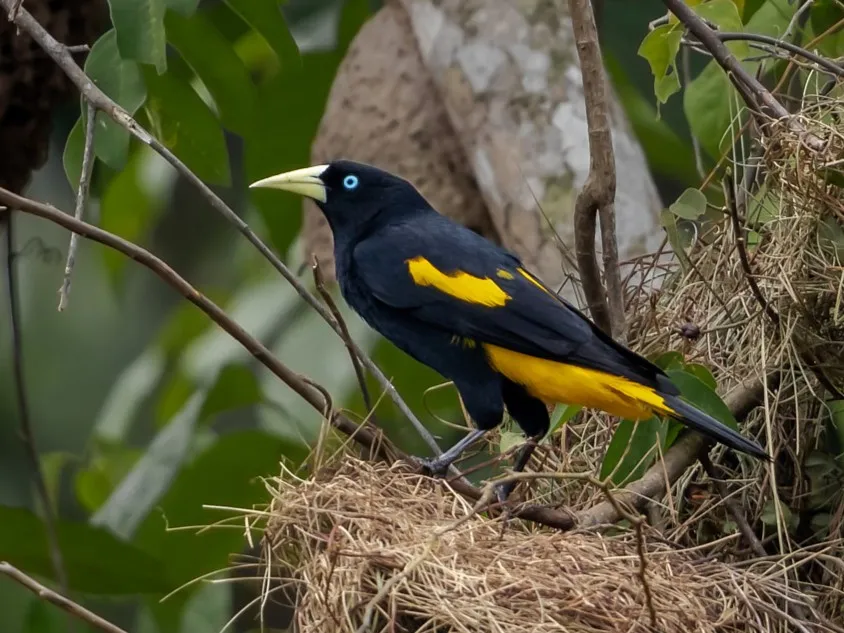
Bird
1,182 records © Ingrid Torres de Macedo · CC BY-SA 4.0
Occurrences documented via GBIF; they are neither an exhaustive inventory nor proof of current presence.
Records: GBIF.org (CC-BY). Names: Wikidata (CC0), GBIF. Photos: Wikimedia Commons.
The primary purpose of the site is to preserve its natural habitats and the biodiversity they support. The species recorded (Biodiversity tab) reflect its ecological value. The designations it holds frame its management and the control of land use.
According to Global Forest Change data (University of Maryland, Global Forest Watch), about 9,140 ha of tree cover were lost within the boundary between 2001 and 2023 (under 1% of its area), peaking in 2007 and 2012. These losses include logging, storms and fires, and do not account for regrowth. At night, the area gives off virtually no artificial light detectable from space (NASA VIIRS Black Marble composite, 2016).
9,136 ha
2001–2023 · < 1% of the area
0%
of the area gives off artificial light visible from space
2
recorded since 2000
Photos: Rock Dove © william_stephens · CC BY 4.0; House Sparrow © Diliff · CC BY-SA 3.0
Sources: Global Forest Change (Hansen et al., University of Maryland, via Global Forest Watch, CC-BY 4.0); EFFIS, European Commission / Copernicus; NASA Black Marble 2016 (public domain); CORINE Land Cover 2018 (Copernicus) or MODIS.
Invasive alien species: Global Register of Introduced and Invasive Species (ISSG, CC BY 4.0); Union list, Regulation (EU) 1143/2014 (INBO, CC0); GBIF.org records (CC0 / CC BY 4.0), at least 2 per species.
Data © OpenStreetMap contributors (ODbL) · Wikidata (CC0)
Nearest towns of over 50,000 people, as the crow flies: Wanchaq (52 km) and Cusco (53 km). Nearest airport: Alejandro Velasco Astete (CUZ), about 51 km away. About 37,000 people live within 20 km of the site boundary, 15,000 of them within 10 km; some 510 people are estimated to live inside (GHSL estimate, 2020). This population has grown by about 9% since 2000. To plan a visit (access, opening periods, visitor rules), it is best to consult the official information from the managing body and the official website listed in this page's sources.
Source: OpenStreetMap (ODbL), Wikidata (CC0), November 2026.
Best time to visit: the dry season, from June to September, with less than 90 mm of rain per month. Precipitation peaks in March (up to 250 mm per month). These averages apply to the site's representative point (471 m); higher up it is markedly cooler. Day length ranges from about 11 h 25 min in June to 12 h 50 min in December. Wildlife records published on GBIF peak for birds (September and October), butterflies and moths (from August to October), dragonflies (September) and mammals (August). These peaks also reflect when observers are most active.
Source: Copernicus ERA5-Land (C3S), monthly averages 1996–2025 at the representative point, temperatures adjusted for elevation.
Contains modified Copernicus Climate Change Service information 2026. Neither the European Commission nor ECMWF is responsible for any use that may be made of the Copernicus information or data it contains.
Monthly records published on GBIF (CC-BY), relative to the busiest month; also reflects observer activity.
Data © OpenStreetMap contributors (ODbL), Wikidata (CC0) and the sources cited.
 Rock Dove
 House Sparrow