Thailand · Marine
Mu Ko Similan National Park
National park of 14,000 hectares in Thailand, established in 1982.
Overview
National park of 14,000 hectares in Thailand, established in 1982.
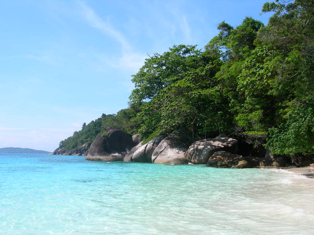
Mu Ko Similan National Park is located in Thailand (Asia). It is a predominantly marine area. Established on 1 September 1982, it covers about 14,000 hectares.
In our collections
Frequently asked questions
Where is Mu Ko Similan National Park?
In Thailand (Asia). Representative point: 8.6538° N, 97.6355° E.
How large is Mu Ko Similan National Park?
About 14,000 hectares (140 km²). It is the 104th largest of the 133 national parks in Thailand covered by Parkavela.
When was Mu Ko Similan National Park established?
On 1 September 1982.
What habitats and landscapes does Mu Ko Similan National Park include?
A marine area, with coasts and coral reefs.
When is the best time to visit Mu Ko Similan National Park?
Best time to visit: the dry season, from November to February, with less than 80 mm of rain per month.
What is the nearest airport to Mu Ko Similan National Park?
Nearest airport: Phuket (HKT), about 81 km away.
Which species can be seen in Mu Ko Similan National Park?
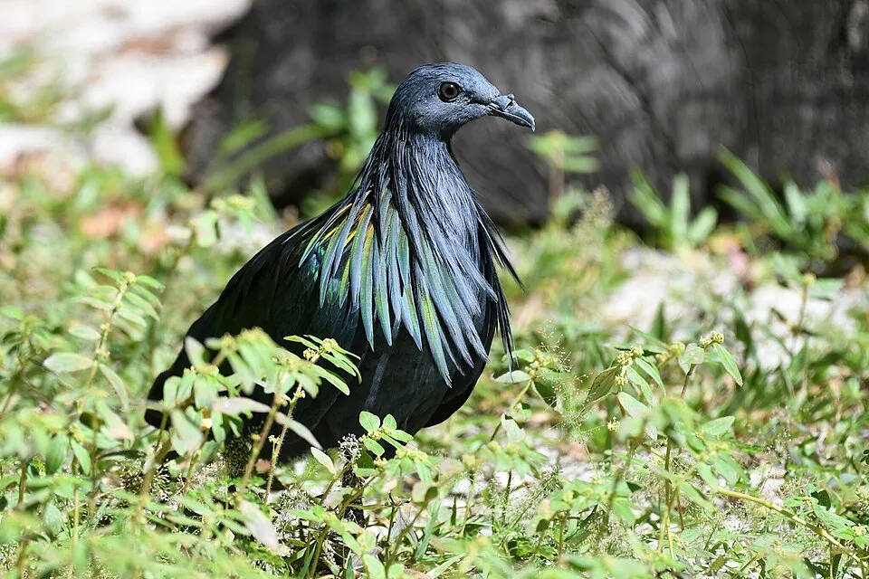
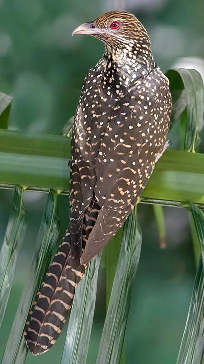
Among the species most often recorded on GBIF are Caloenas nicobarica (Nicobar Pigeon), Ducula bicolor (Pied Imperial Pigeon), Haliaeetus leucogaster (White-bellied Sea Eagle) and Eudynamys scolopaceus (Asian Koel).
© OpenStreetMap
Download the boundary: GeoJSON · GPX Boundary © OpenStreetMap contributors (ODbL).
Geography
The representative point of the site lies at around 2 m above sea level. Over the 1996–2025 period, the mean annual temperature is about 27.5 °C and total precipitation reaches roughly 2,171 mm per year. The warmest month is usually April, the coolest October, and the wettest August.
Area
- Area
- 14,000 ha
- Elevation
- 2 m
- Coordinates
- 8.6538, 97.6355
Climate
● Mean temperature (°C) · ▮ Precipitation (mm)
Source: Copernicus ERA5 (C3S, doi:10.24381/cds.f17050d7), monthly averages 1996–2025 interpolated to the representative point, temperatures adjusted for elevation.
Contains modified Copernicus Climate Change Service information 2026. Neither the European Commission nor ECMWF is responsible for any use that may be made of the Copernicus information or data it contains.
Natural habitats
The sea covers about 97% of the site. The seabed reaches about 80 m deep (median depth 48 m; GEBCO bathymetry). Reef-building corals are documented in the area: 101 records published on GBIF.
Biodiversity
Based on occurrences aggregated by GBIF, several species are regularly recorded within the site. Among the most frequent are Caloenas nicobarica (Nicobar Pigeon), Ducula bicolor (Pied Imperial Pigeon), Haliaeetus leucogaster (White-bellied Sea Eagle) and Eudynamys scolopaceus (Asian Koel). The full list of documented taxa is shown below.
Species to look out for

Bird
Pied Imperial Pigeon
Ducula bicolor235 records © Lip Kee from Singapore, Republic of Singapore · CC BY-SA 2.0
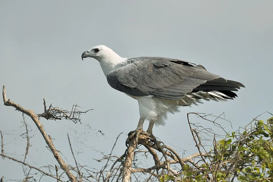
Bird
White-bellied Sea Eagle
Haliaeetus leucogaster204 records © Manelka Jayasundara · CC BY-SA 4.0
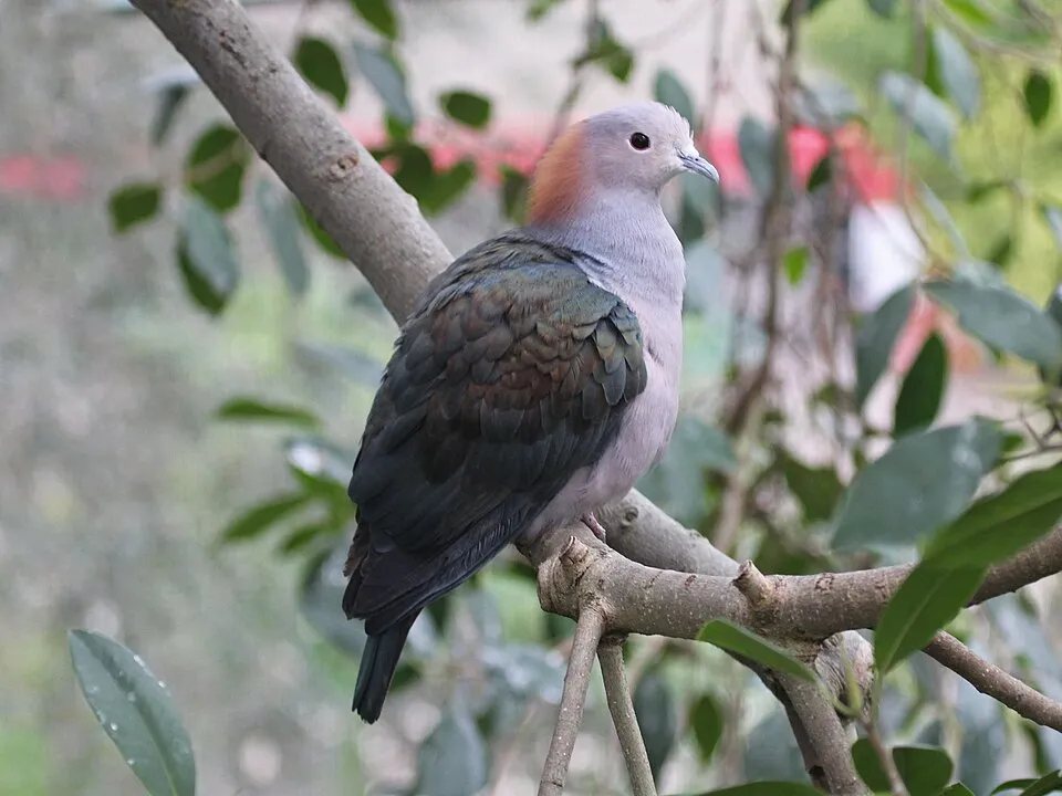
Bird
Green Imperial Pigeon
Ducula aenea144 records © DickDaniels (http://theworldbirds.org/) · CC BY-SA 3.0

Observed species
Occurrences documented via GBIF; they are neither an exhaustive inventory nor proof of current presence.
- Nicobar Pigeon · Caloenas nicobarica · 300
- Pied Imperial Pigeon · Ducula bicolor · 235
- White-bellied Sea Eagle · Haliaeetus leucogaster · 204
- Asian Koel · Eudynamys scolopaceus · 170
- Green Imperial Pigeon · Ducula aenea · 144
- Brahminy Kite · Haliastur indus · 111
- Large-billed Crow · Corvus macrorhynchos · 99
- Pacific Reef Heron · Egretta sacra · 91
- Common myna · Acridotheres tristis · 78
- White-breasted Waterhen · Amaurornis phoenicurus · 71
- Collared Kingfisher · Todiramphus chloris · 68
- Chinese Pond Heron · Ardeola bacchus · 47
+18 more species
- Yellow-browed Warbler · Phylloscopus inornatus · 38
- Bridled Tern · Onychoprion anaethetus · 35
- Black-naped Tern · Sterna sumatrana · 28
- Common Emerald Dove · Chalcophaps indica · 27
- Common Tern · Sterna hirundo · 20
- Pacific Swallow · Hirundo javanica · 19
- Asian Brown Flycatcher · Muscicapa latirostris · 19
- Edible-nest Swiftlet · Aerodramus fuciphagus · 18
- Peregrine Falcon · Falco peregrinus · 17
- Daurian Starling · Agropsar sturninus · 17
- Ocellated Wart Slug · Phyllidia ocellata · 16
- Oriental Dollarbird · Eurystomus orientalis · 15
- Giant moray · Gymnothorax javanicus · 14
- Osprey · Pandion haliaetus · 14
- Forest Wagtail · Dendronanthus indicus · 14
- Asian Open-bill Stork · Anastomus oscitans · 14
- Arctic Warbler · Phylloscopus borealis · 13
- Halgerda tessellata · 13
Records: GBIF.org (CC-BY). Names: Wikidata (CC0), GBIF. Photos: Wikimedia Commons.
Conservation challenges
The primary purpose of the site is to preserve its natural habitats and the biodiversity they support. The species recorded (Biodiversity tab) reflect its ecological value. Its status as a national park sets the regulatory framework for its protection.
Practical information
Cities and airport
- Airport: Phuket (HKT)
81 km as the crow flies
Data: Wikidata (CC0), pending OpenStreetMap data
Access and visiting
Nearest airport: Phuket (HKT), about 81 km away. To plan a visit (access, opening periods, visitor rules), it is best to consult the official information from the managing body and the official website listed in this page's sources.
Source: Wikidata (CC0), November 2026.
When to visit
Best time to visit: the dry season, from November to February, with less than 80 mm of rain per month. Day length ranges from about 11 h 37 min in December to 12 h 37 min in June. Wildlife records published on GBIF peak for birds (March). These peaks also reflect when observers are most active.
Source: Copernicus ERA5 (C3S), monthly averages 1996–2025 at the representative point, temperatures adjusted for elevation.
Contains modified Copernicus Climate Change Service information 2026. Neither the European Commission nor ECMWF is responsible for any use that may be made of the Copernicus information or data it contains.
Wildlife records calendar
JFMAMJJASOND
Birds
Monthly records published on GBIF (CC-BY), relative to the busiest month; also reflects observer activity.
Gallery
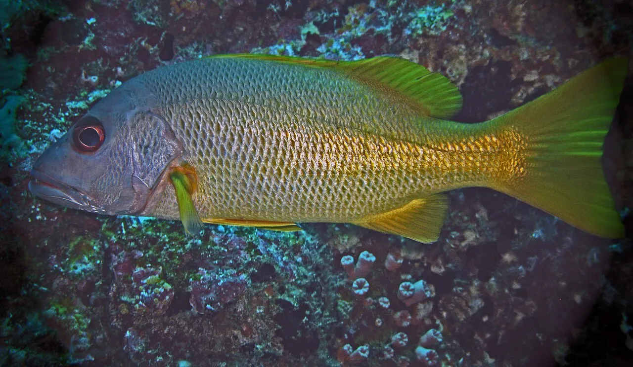
© by Electrostatico · CC BY-SA 2.0
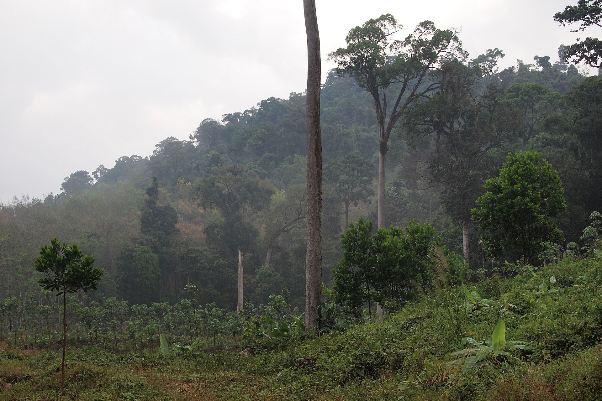
© Hanumanix · Public domain
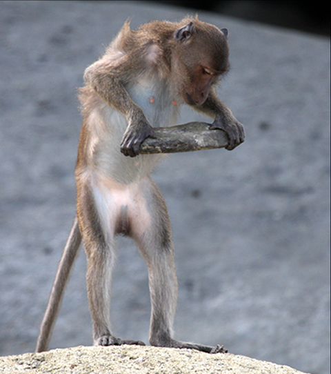
© Christoph Schuetzenhofer · CC BY-SA 3.0
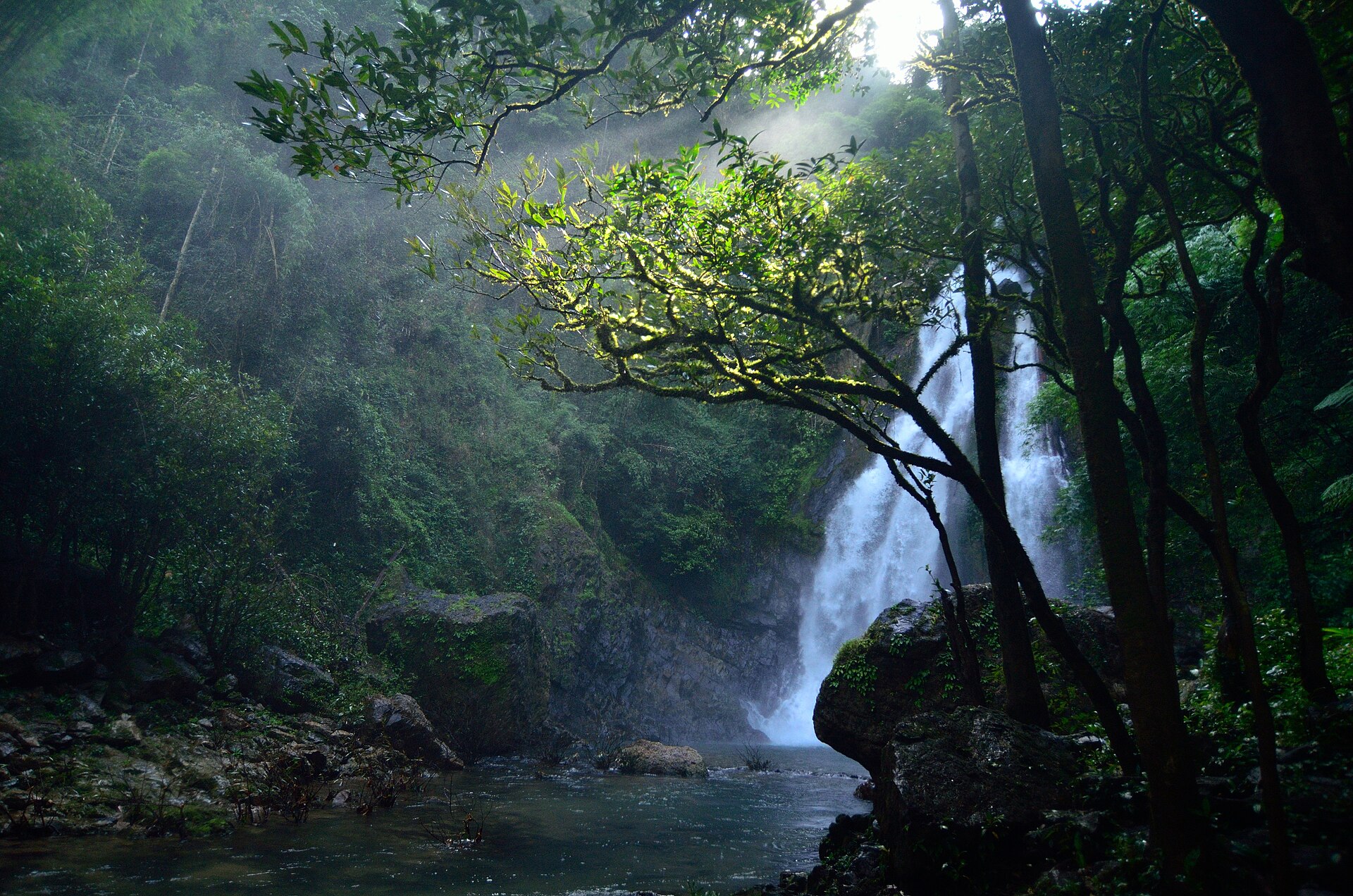
© Manuel Heinrich Emha · CC BY-SA 2.5
© Emha · CC BY-SA 2.5
© No Troubles Just Bubbles · CC BY-SA 4.0
Sources and licences
- Wikidata: Q1267487
- OpenStreetMap: relation 3263607
- Wikipedia: de.wikipedia.org/wiki/Nationalpark_Mu_Ko_Similan
- WDPA: 7473
References
- cds.climate.copernicus.eu: climate · CC-BY-4.0
- registry.opendata.aws: elevation of the reference point · PD
- lpdaac.usgs.gov: land cover · PD
- doi.org: population around the site · CC-BY-4.0
- naturalearthdata.com: sea share · PD
- wikidata.org: official area, establishment date, protected heritage, nearby cities and airport, access and peaks, places to see · CC0-1.0
- gbif.org: coral records, seasonality of sightings, invasive alien species, observed species · CC-BY-4.0
- gebco.net: depths · PD
- opentopodata.org: elevations · PD
- openstreetmap.org: official name · ODbL-1.0
- wikidata.org: Wikipedia article · CC-BY-SA-4.0
Data © OpenStreetMap contributors (ODbL), Wikidata (CC0) and the sources cited.