
Australia · Mixed
Murujuga National Park
National park of 4,917 hectares in Australia, established in 2013.
Overview
National park of 4,917 hectares in Australia, established in 2013.
Murujuga National Park is located in Australia (Oceania). It covers both land and sea. Established in 2013, it covers about 4,917 hectares.
Protections and designations
UNESCO World Heritage
Protected as a national park. International labels and designations: UNESCO World Heritage. Key dates: established in 2013 and World Heritage listing in 2025.
In our collections
Timeline
-
2013
Established
-
2025
Inscribed as a UNESCO World Heritage Site
Sources: Wikidata (CC0) for establishment and international labels; EEA Natura 2000 database (CC-BY 4.0) for site designation dates.
Frequently asked questions
Where is Murujuga National Park?
In Australia (Oceania). Representative point: 20.5833° S, 116.8333° E.
How large is Murujuga National Park?
About 4,917 hectares (49 km²). It is the 381st largest of the 678 national parks in Australia covered by Parkavela. About 1,800 ha are at sea.
When was Murujuga National Park established?
In 2013.
What habitats and landscapes does Murujuga National Park include?
An area spanning land and sea, with coasts.
What is the highest point of Murujuga National Park?
Mount Burrup, at 129 m (OpenStreetMap).
Which international labels apply to Murujuga National Park?
UNESCO World Heritage.
When is the best time to visit Murujuga National Park?
Best time to visit: the dry season, from August to November, with less than 10 mm of rain per month.
Are there historic monuments in Murujuga National Park?
Yes. According to Wikidata, one monument listed on Australian state heritage registers or the Commonwealth Heritage List stands within the boundary. For example: “Murujuga” in Western Australia.
What is the nearest airport to Murujuga National Park?
Nearest airport: Karratha (KTA), about 5 km away.
Which species can be seen in Murujuga National Park?
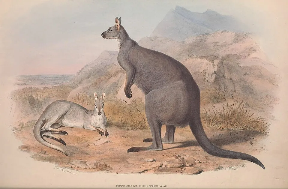
Among the species most often recorded on GBIF are Quistrachia legendrei, Rhagada angulata, Manorina flavigula (Yellow-throated Miner) and Macropus robustus (Wallaroo).
© OpenStreetMap
Download the boundary: GeoJSON · GPX Boundary © OpenStreetMap contributors (ODbL).
Geography
Over the 1996–2025 period, the mean annual temperature is about 26.0 °C and total precipitation reaches roughly 354 mm per year. The warmest month is usually March, the coolest July, and the wettest March.
Area
- Area
- 4,917 ha
- Mean slope
- 7°
- Coordinates
- -20.5833, 116.8333
Terrain: Mapzen Terrain Tiles (SRTM, USGS)
Climate
● Mean temperature (°C) · ▮ Precipitation (mm)
Source: Copernicus ERA5-Land (C3S, doi:10.24381/cds.68d2bb30), monthly averages 1996–2025 interpolated to the representative point, temperatures adjusted for elevation.
Contains modified Copernicus Climate Change Service information 2026. Neither the European Commission nor ECMWF is responsible for any use that may be made of the Copernicus information or data it contains.
Natural habitats
According to the global MODIS land cover (NASA, 2024), the land area is mainly made up of grassland and meadows (76%) and heath and scrub (21%). The sea covers about 37% of the site. Elevation ranges from sea level to 129 m (highest point: Mount Burrup).
Biodiversity
Based on occurrences aggregated by GBIF, several species are regularly recorded within the site. Among the most frequent are Quistrachia legendrei, Rhagada angulata, Manorina flavigula (Yellow-throated Miner) and Macropus robustus (Wallaroo). The full list of documented taxa is shown below.
Species to look out for
Observed species
Occurrences documented via GBIF; they are neither an exhaustive inventory nor proof of current presence.
- Quistrachia legendrei · 38
- Rhagada angulata · 32
- Yellow-throated Miner · Manorina flavigula · 32
- Wallaroo · Macropus robustus · 32
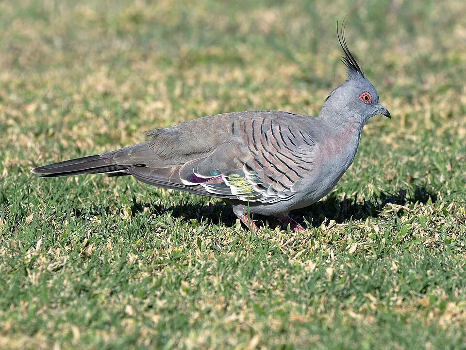
- Crested Pigeon · Ocyphaps lophotes · 30
- Rhynchosia bungarensis · 29
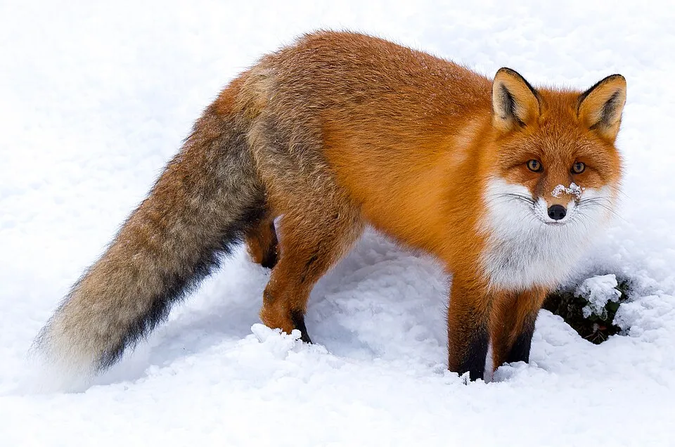
- Red fox · Vulpes vulpes · 28
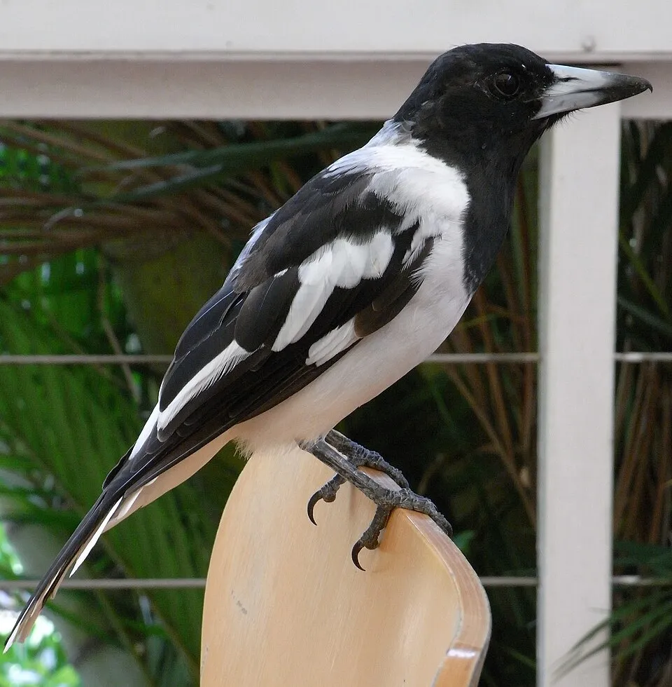
- Pied Butcherbird · Cracticus nigrogularis · 26
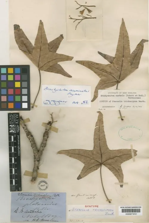
- Brachychiton acuminatus · 24
- Stony-soil ctenotus · Ctenotus saxatilis · 21
- Spotted Dtella · Gehyra punctata · 21
- Spinifex Pigeon · Geophaps plumifera · 19
+18 more species
- Terminalia supranitifolia · 17
- North-western sandslider · Lerista bipes · 16
- Pilbara Clawless Gecko · Crenadactylus pilbarensis · 16
- Lined firetail skink · Morethia ruficauda · 15
- Woolly Corchorus · Corchorus walcottii · 15
- Heronidrilus gravidis · Heronidrilus gravidus · 15
- Limnodriloides rubicundus · 13
- Galah · Eolophus roseicapilla · 13
- Singing Honeyeater · Gavicalis virescens · 13
- Java aerva · Aerva javanica · 13
- Black Rat · Rattus rattus · 12
- Spinifexbird · Megalurus carteri · 11
- Nankeen Kestrel · Falco cenchroides · 10
- Hairy causticweed · Euphorbia australis · 10
- Willie Wagtail · Rhipidura leucophrys · 10
- Amphibalanus cirratus · 10
- Rothschild's rock-wallaby · Petrogale rothschildi · 9
- Common dwarf skink · Menetia greyii · 9
Records: GBIF.org (CC-BY). Names: Wikidata (CC0), GBIF. Photos: Wikimedia Commons.
Conservation challenges
The primary purpose of the site is to preserve its natural habitats and the biodiversity they support. The species recorded (Biodiversity tab) reflect its ecological value. The designations it holds frame its management and the control of land use.
At night, 46% of the area gives off artificial light detectable from space (NASA VIIRS Black Marble composite, 2016). Invasive alien species have been recorded within the site since 2000 (GBIF observations). Among them: Vulpes vulpes (Red fox), Rattus rattus (Black Rat) and Amphibalanus amphitrite (Striped Acorn Barnacle).
Pressure indicators
Light at night
46%
of the area gives off artificial light visible from space
DarkLit
Invasive alien species
4
recorded since 2000
 Black Rat
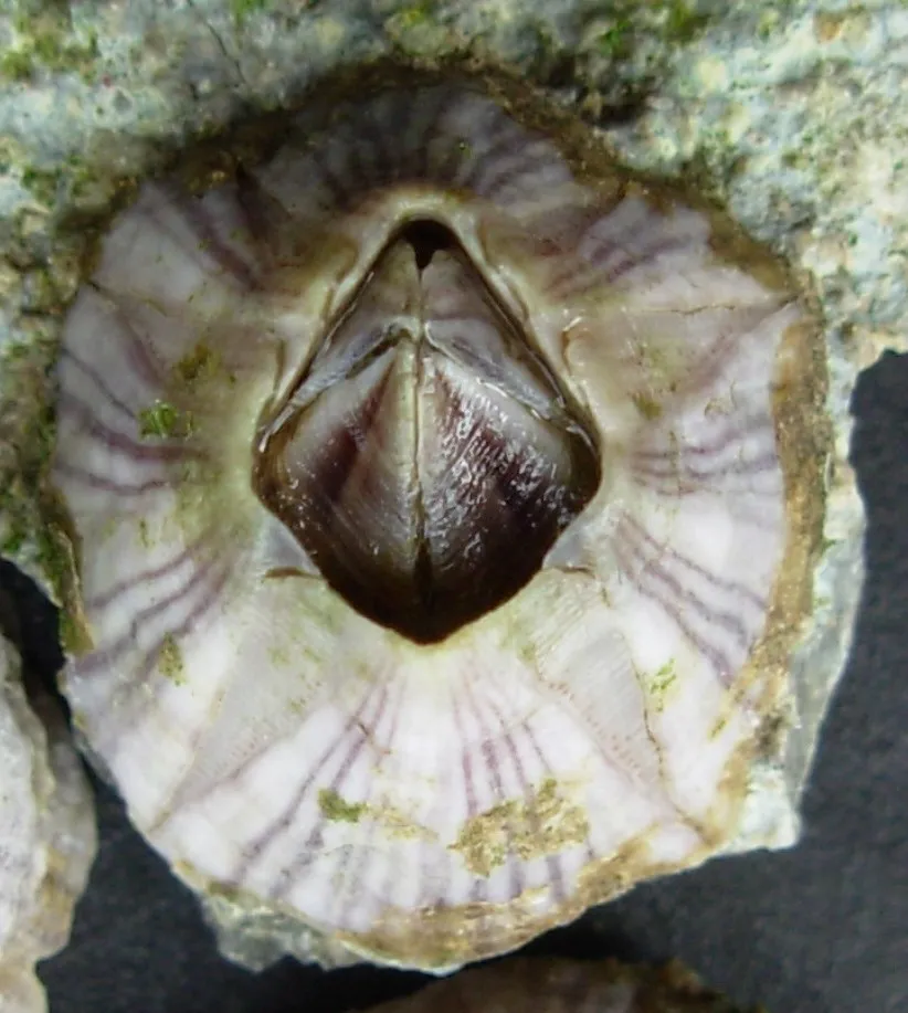 Striped Acorn Barnacle
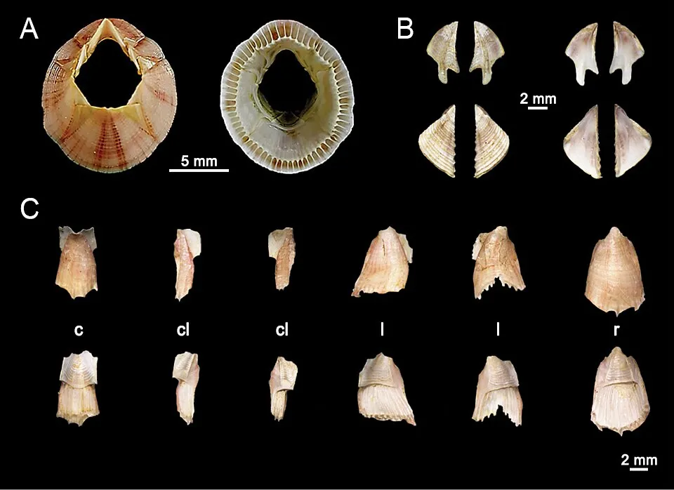 Reticulated Barnacle
Photos: Red fox © ClaudiaTen · CC BY-SA 4.0; Black Rat © Jakub Hałun · CC BY-SA 4.0; Striped Acorn Barnacle © Auguste Le Roux · CC BY-SA 4.0; Reticulated Barnacle © Pochai A, Kingtong S, Sukparangsi W, Khachonpisitsak S · CC BY 4.0
Sources: Global Forest Change (Hansen et al., University of Maryland, via Global Forest Watch, CC-BY 4.0); EFFIS, European Commission / Copernicus; NASA Black Marble 2016 (public domain); CORINE Land Cover 2018 (Copernicus) or MODIS.
Invasive alien species: Global Register of Introduced and Invasive Species (ISSG, CC BY 4.0); Union list, Regulation (EU) 1143/2014 (INBO, CC0); GBIF.org records (CC0 / CC BY 4.0), at least 2 per species.
Practical information
Cities and airport
- Airport: Karratha (KTA)
5 km as the crow flies
Parking
2 public car parks listed within the site
Data © OpenStreetMap contributors (ODbL) · Wikidata (CC0)
Access and visiting
Nearest airport: Karratha (KTA), about 5 km away. About 28,000 people live within 20 km of the site boundary, 19,000 of them within 10 km; the site itself is virtually uninhabited (GHSL estimate, 2020). This population has grown by about 161% since 2000. Public car parks listed within the site: 2. To plan a visit (access, opening periods, visitor rules), it is best to consult the official information from the managing body and the official website listed in this page's sources.
Source: OpenStreetMap (ODbL), Wikidata (CC0), November 2026.
Built heritage
According to Wikidata, one monument listed on Australian state heritage registers or the Commonwealth Heritage List stands within the boundary. It is “Murujuga” in Western Australia.
-
Murujuga
National
Western Australia
Source: Wikidata (CC0), monuments in each country’s official heritage protection registers, at national or regional level. Each item links to its Wikidata entry.
When to visit
Best time to visit: the dry season, from August to November, with less than 10 mm of rain per month. Precipitation peaks in February and March (up to 80 mm per month). Day length ranges from about 10 h 53 min in June to 13 h 22 min in December. Wildlife records published on GBIF peak for birds (October), plants (May) and mammals (June and July). These peaks also reflect when observers are most active.
Source: Copernicus ERA5-Land (C3S), monthly averages 1996–2025 at the representative point, temperatures adjusted for elevation.
Contains modified Copernicus Climate Change Service information 2026. Neither the European Commission nor ECMWF is responsible for any use that may be made of the Copernicus information or data it contains.
Wildlife records calendar
JFMAMJJASOND
Birds
Plants
Mammals
Monthly records published on GBIF (CC-BY), relative to the busiest month; also reflects observer activity.
Gallery
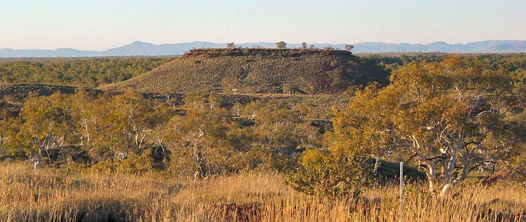
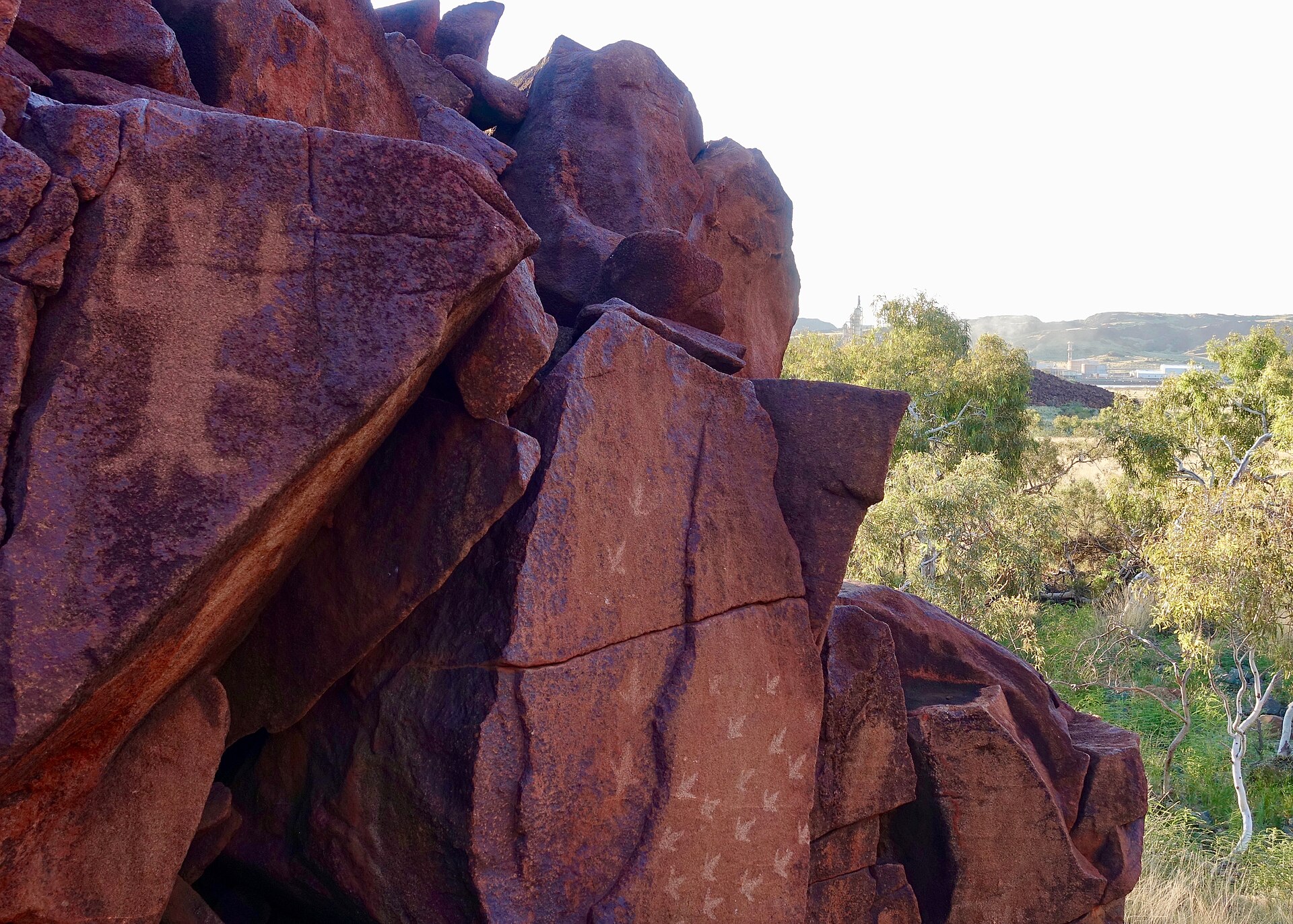
© Marius Fenger · CC BY-SA 4.0
© Marius Fenger · CC BY-SA 4.0
© The editor next door · CC0-1.0
© Marius Fenger · CC BY-SA 4.0
© Marius Fenger · CC BY-SA 4.0
© The editor next door · CC0-1.0
Sources and licences
- Wikidata: Q25386203
- OpenStreetMap: relation 8380688
- Wikipedia: en.wikipedia.org/wiki/Murujuga_National_Park
- WDPA: 555599501
References
- cds.climate.copernicus.eu: climate · CC-BY-4.0
- registry.opendata.aws: elevation of the reference point, detailed relief · PD
- lpdaac.usgs.gov: land cover · PD
- doi.org: population around the site · CC-BY-4.0
- naturalearthdata.com: sea share · PD
- wikidata.org: official area, establishment date, protected heritage, official name, nearby cities and airport, lake depths · CC0-1.0
- gbif.org: coral records, seasonality of sightings, invasive alien species, observed species · CC-BY-4.0
- en.eurovelo.com: EuroVelo cycle routes · ODbL-1.0
- cycling.waymarkedtrails.org: cycle routes · ODbL-1.0
- opentopodata.org: elevations · PD
- globalforestwatch.org: tree cover loss · CC-BY-4.0
- earthobservatory.nasa.gov: night light · PD
- openstreetmap.org: access and peaks, trail difficulty · ODbL-1.0
- nsidc.org: snow cover · PD
- wikidata.org: Wikipedia article · CC-BY-SA-4.0
Data © OpenStreetMap contributors (ODbL), Wikidata (CC0) and the sources cited.