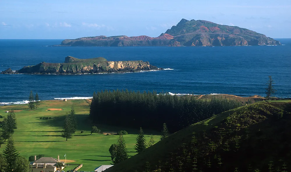

Australia · Terrestrial
Norfolk Island National Park
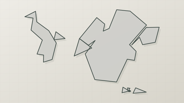
National park of 650 hectares in Australia, established in 1984.
Overview
National park of 650 hectares in Australia, established in 1984.
Norfolk Island National Park is located in Australia (Oceania). It is a predominantly terrestrial area. Established in 1984, it covers about 650 hectares. The site is managed by Director of National Parks.
In our collections
Frequently asked questions
Where is Norfolk Island National Park?
In Australia (Oceania). Representative point: 29.0113° S, 167.9399° E.
How large is Norfolk Island National Park?
About 650 hectares (7 km²). It is the 583rd largest of the 678 national parks in Australia covered by Parkavela.
When was Norfolk Island National Park established?
In 1984.
What habitats and landscapes does Norfolk Island National Park include?
A terrestrial area, with forests and coasts.
What is the highest point of Norfolk Island National Park?
Mount Bates, at 319 m (OpenStreetMap).
Which species can be seen in Norfolk Island National Park?
Among the species most often recorded on GBIF are Gerygone modesta (Norfolk Gerygone), Rhipidura albiscapa (Grey Fantail), Gygis alba (White Tern) and Pachycephala pectoralis (Golden Whistler).
Who manages Norfolk Island National Park?
Director of National Parks.
What is the official website of Norfolk Island National Park?
© OpenStreetMap
Download the boundary: GeoJSON · GPX Boundary © OpenStreetMap contributors (ODbL).
Geography
The representative point of the site lies at around 313 m above sea level.
Area
- Area
- 650 ha
- Elevation
- 313 m
- Mean slope
- 14°
- Coordinates
- -29.0113, 167.9399
Terrain: Mapzen Terrain Tiles (SRTM, USGS)
Natural habitats
According to the global MODIS land cover (NASA, 2024), the site is mainly made up of marshes and bogs (45%), forests (45%) and grassland and meadows (9%). It is mostly dense evergreen broadleaved forest. The site borders the coast. Elevation ranges from about 80 m to 319 m (highest point: Mount Bates).
Biodiversity
Based on occurrences aggregated by GBIF, several species are regularly recorded within the site. Among the most frequent are Gerygone modesta (Norfolk Gerygone), Rhipidura albiscapa (Grey Fantail), Gygis alba (White Tern) and Pachycephala pectoralis (Golden Whistler). The full list of documented taxa is shown below.
Species to look out for
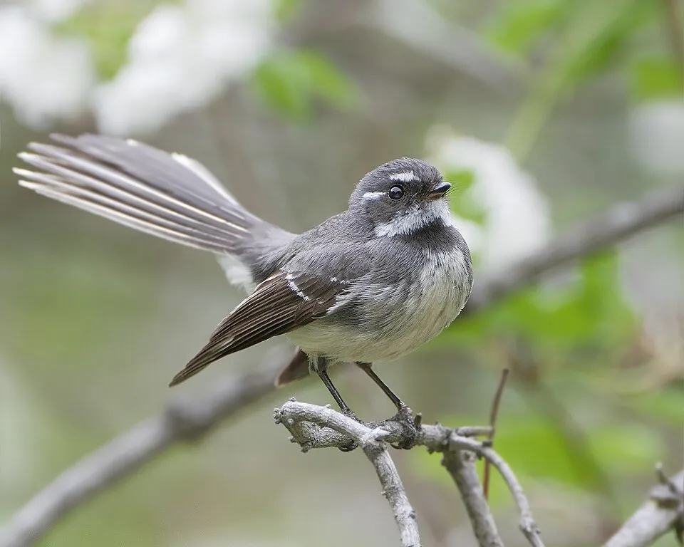
Bird
Grey Fantail
Rhipidura albiscapa775 records © JJ Harrison (https://www.jjharrison.com.au/) · CC BY-SA 3.0

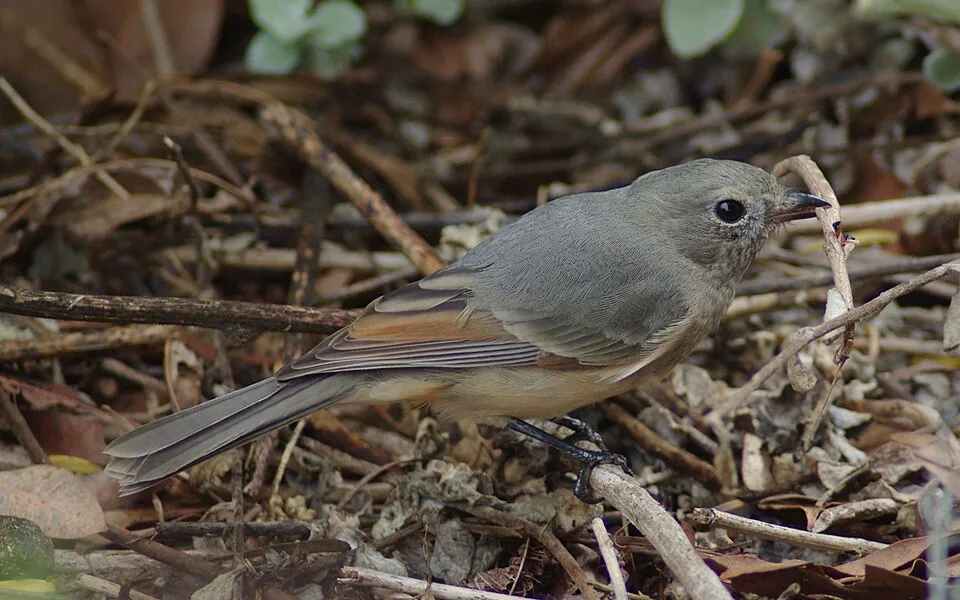
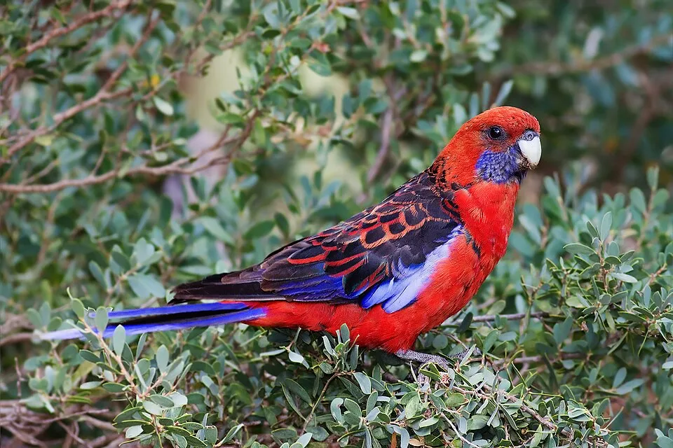
Bird
Crimson Rosella
Platycercus elegans629 records © JJ Harrison (https://www.jjharrison.com.au/) · CC BY-SA 3.0
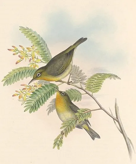
Observed species
Occurrences documented via GBIF; they are neither an exhaustive inventory nor proof of current presence.
- Norfolk Gerygone · Gerygone modesta · 793
- Grey Fantail · Rhipidura albiscapa · 775
- White Tern · Gygis alba · 748
- Golden Whistler · Pachycephala pectoralis · 735
- Silvereye · Zosterops lateralis · 701
- Crimson Rosella · Platycercus elegans · 629
- Slender-billed White-eye · Zosterops tenuirostris · 585
- Norfolk Robin · Petroica multicolor · 578
- Common Blackbird · Turdus merula · 516
- Norfolk Parakeet · Cyanoramphus cookii · 474
- Masked Booby · Sula dactylatra · 373
- Red-tailed Tropicbird · Phaethon rubricauda · 331
+18 more species
- Black Noddy · Anous minutus · 326
- Welcome Swallow · Hirundo neoxena · 304
- Duritropis albocarinata · 282
- Sooty Tern · Onychoprion fuscatus · 273
- Grey Noddy · Anous albivitta · 264
- Pacific Emerald Dove · Chalcophaps longirostris · 259
- Sacred Kingfisher · Todiramphus sanctus · 257
- Greenwoodoconcha nux · 248
- Red Junglefowl · Gallus gallus · 247
- California Quail · Callipepla californica · 239
- Great Frigatebird · Fregata minor · 219
- Common Starling · Sturnus vulgaris · 212
- Allenoconcha platysoma · 184
- Song Thrush · Turdus philomelos · 172
- Black-winged Petrel · Pterodroma nigripennis · 146
- Allenoconcha basispiralis · 138
- Brown Noddy · Anous stolidus · 131
- Rock Dove · Columba livia · 117
Records: GBIF.org (CC-BY). Names: Wikidata (CC0), GBIF. Photos: Wikimedia Commons.
Conservation challenges
The primary purpose of the site is to preserve its natural habitats and the biodiversity they support. The species recorded (Biodiversity tab) reflect its ecological value. Its status as a national park sets the regulatory framework for its protection.
At night, the area gives off virtually no artificial light detectable from space (NASA VIIRS Black Marble composite, 2016). Since 2000, 35 invasive alien species have been recorded within the site (GBIF observations). Among them: Gallus gallus (Red Junglefowl), Sturnus vulgaris (Common Starling) and Columba livia (Rock Dove).
Pressure indicators
Light at night
0%
of the area gives off artificial light visible from space
DarkLit
Invasive alien species
35
recorded since 2000
 Red Junglefowl
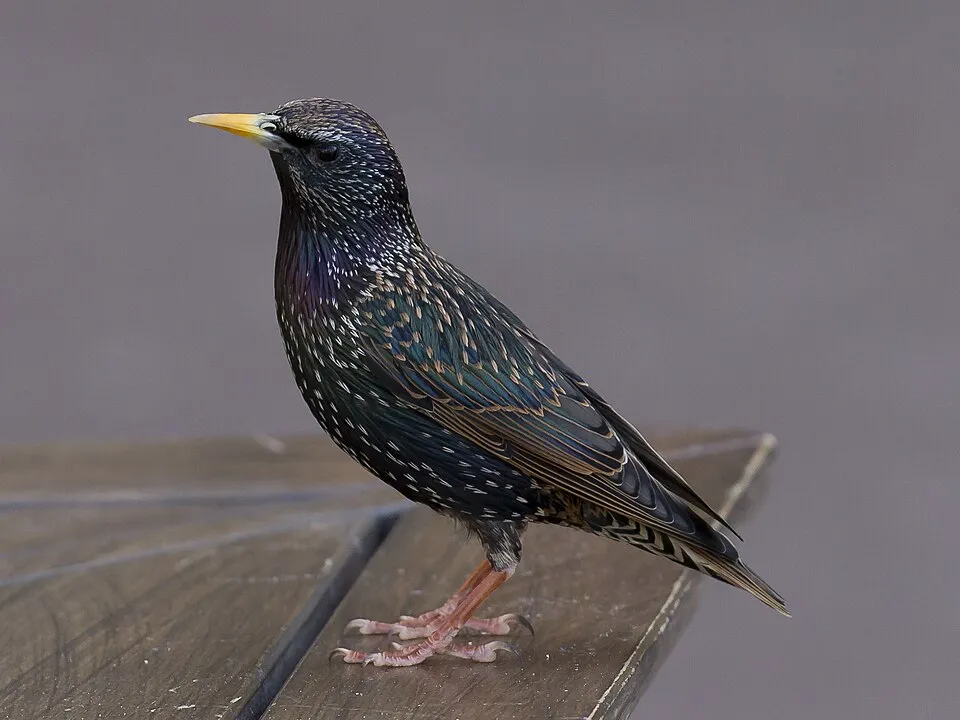 Common Starling
 Rock Dove
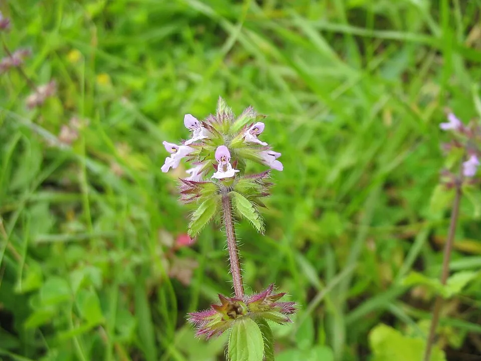 Field woundwort
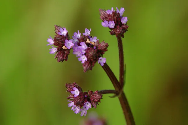 Brazilian vervain
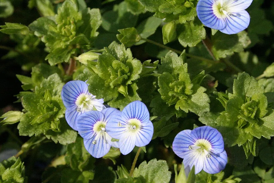 Common field-speedwell
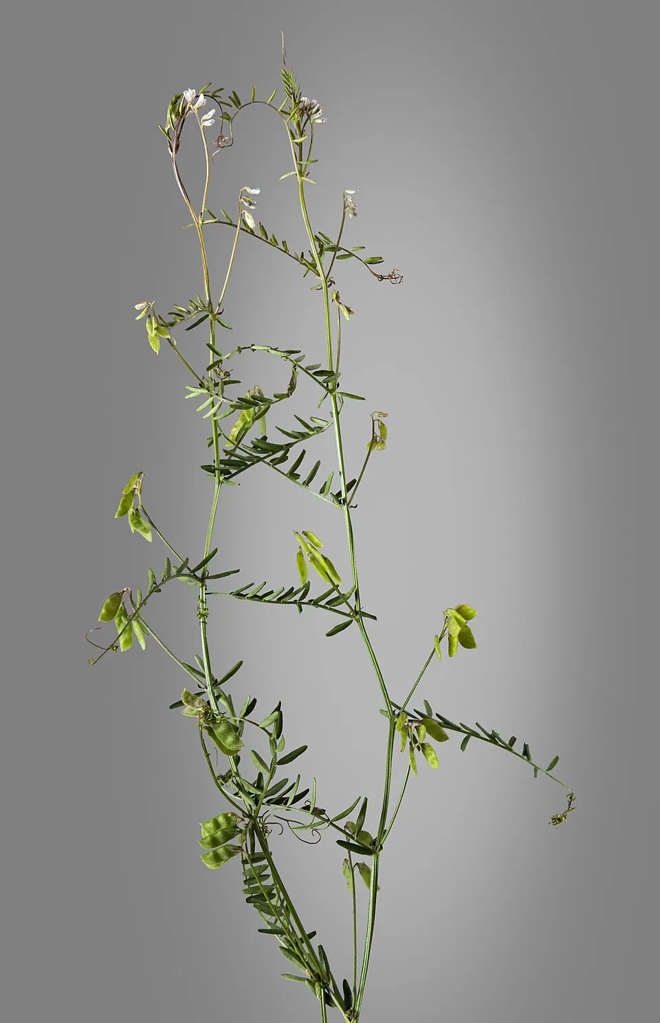 Tiny vetch
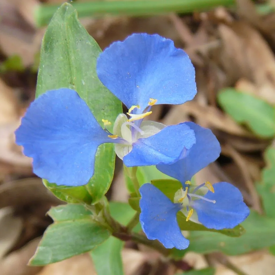 Creeping Christian
Photos: Red Junglefowl © Dibyendu Ash · CC BY-SA 3.0; Common Starling © PierreSelim · CC BY-SA 3.0; Rock Dove © william_stephens · CC BY 4.0; Field woundwort © Christian Hummert (Ixitixel) · CC BY-SA 3.0; Brazilian vervain © NOZO · CC BY-SA 3.0; Common field-speedwell © Strobilomyces · CC BY-SA 3.0; Tiny vetch © Didier Descouens · CC BY-SA 4.0; Creeping Christian © Mike Young · CC BY-SA 3.0
Sources: Global Forest Change (Hansen et al., University of Maryland, via Global Forest Watch, CC-BY 4.0); EFFIS, European Commission / Copernicus; NASA Black Marble 2016 (public domain); CORINE Land Cover 2018 (Copernicus) or MODIS.
Invasive alien species: Global Register of Introduced and Invasive Species (ISSG, CC BY 4.0); Union list, Regulation (EU) 1143/2014 (INBO, CC0); GBIF.org records (CC0 / CC BY 4.0), at least 2 per species.
Practical information
Parking
6 public car parks listed within the site
Data © OpenStreetMap contributors (ODbL)
Access and visiting
Fewer than 5,000 people live within 20 km of the site boundary, a very sparsely populated area (GHSL estimate, 2020). Public car parks listed within the site: 6. To plan a visit (access, opening periods, visitor rules), it is best to consult the official information from the managing body (Director of National Parks) and the official website listed in this page's sources.
Source: OpenStreetMap (ODbL), Wikidata (CC0), November 2026.
Wildlife records calendar
JFMAMJJASOND
Birds
Plants
Butterflies & moths
Monthly records published on GBIF (CC-BY), relative to the busiest month; also reflects observer activity.
Gallery
© Steve Daggar · CC BY 3.0
© Casliber · CC BY-SA 4.0
© Sarah Drake · Public domain
© Steve Daggar · CC BY 3.0
© Casliber · CC BY-SA 4.0
© Casliber · CC BY-SA 4.0
Sources and licences
- Wikidata: Q746460
- OpenStreetMap: relation 8449575
- Official website: http://www.parksaustralia.gov.au/norfolk/index.html
- Wikipedia: en.wikipedia.org/wiki/Norfolk_Island_National_Park
- WDPA: 5112
References
- registry.opendata.aws: elevation of the reference point, detailed relief · PD
- lpdaac.usgs.gov: land cover · PD
- doi.org: population around the site · CC-BY-4.0
- wikidata.org: official area, establishment date, protected heritage, managing body, official name, nearby cities and airport, access and peaks, lake depths, places to see, official website · CC0-1.0
- en.eurovelo.com: EuroVelo cycle routes · ODbL-1.0
- cycling.waymarkedtrails.org: cycle routes · ODbL-1.0
- opentopodata.org: elevations · PD
- globalforestwatch.org: tree cover loss · CC-BY-4.0
- gbif.org: seasonality of sightings, invasive alien species, observed species · CC-BY-4.0
- earthobservatory.nasa.gov: night light · PD
- openstreetmap.org: access and peaks · ODbL-1.0
- naturalearthdata.com: sea share · PD
- wikidata.org: Wikipedia article · CC-BY-SA-4.0
Data © OpenStreetMap contributors (ODbL), Wikidata (CC0) and the sources cited.