Australia · Terrestrial
Alpine National Park
National park of 661,777 hectares in Australia, established in 1989.
Overview
National park of 661,777 hectares in Australia, established in 1989.
Alpine National Park is located in Australia (Oceania). It is a predominantly terrestrial area. Established in 1989, it covers about 661,777 hectares. The site is managed by Parks Victoria.
In our collections
Frequently asked questions
Where is Alpine National Park?
In Australia (Oceania). Representative point: 37.3375° S, 146.7570° E.
How large is Alpine National Park?
About 661,777 hectares (6,618 km²). It is the 11th largest of the 678 national parks in Australia covered by Parkavela.
When was Alpine National Park established?
In 1989.
What habitats and landscapes does Alpine National Park include?
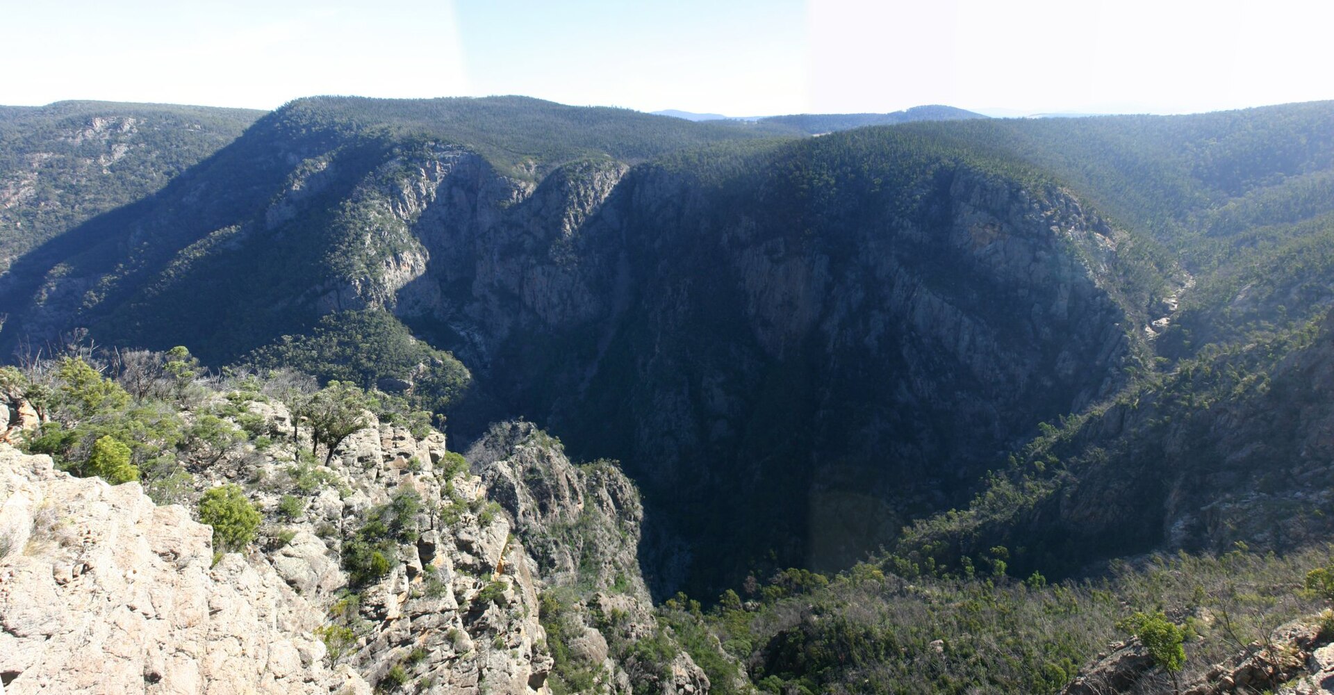
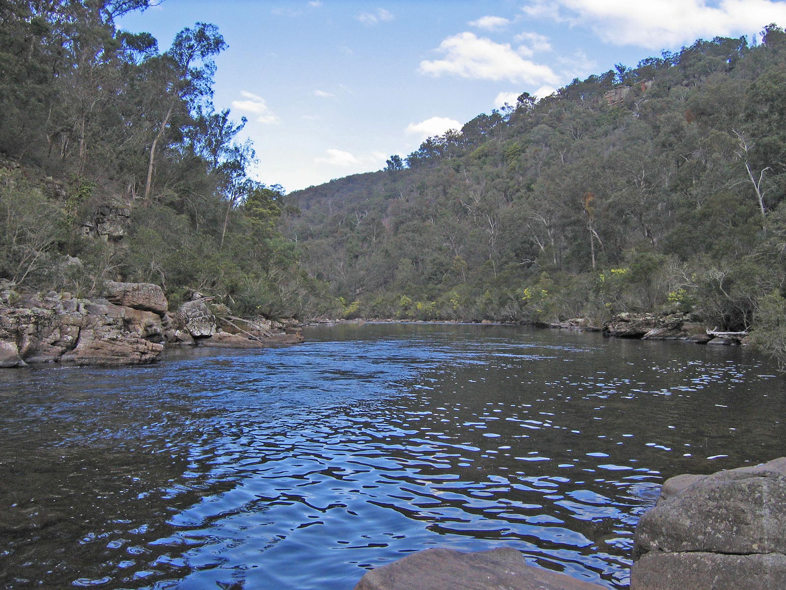
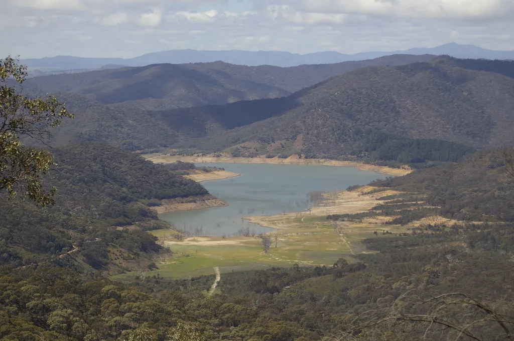
A terrestrial area, with forests and mountains.
What is the highest point of Alpine National Park?
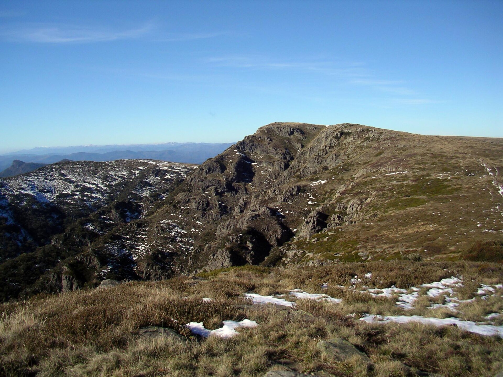
Mount Bogong, at 1,986 m (OpenStreetMap).
What are the main summits of Alpine National Park?
Mount Bogong (1,986 m), West Peak (1,962 m), Mount Feathertop (1,922 m), Mount Nelse West (1,893 m) and Mount Nelse North (1,885 m) (OpenStreetMap).
When is the best time to visit Alpine National Park?
Best time to visit: from December to March, with average temperatures of 10 to 14 °C and moderate rainfall.
Are there historic monuments in Alpine National Park?
Yes. According to Wikidata, 12 monuments listed on Australian state heritage registers or the Commonwealth Heritage List stand within the boundary, 1 of them a National Heritage List place. For example: “Australian Alps National Parks and Reserves” in New South Wales.
What is the nearest airport to Alpine National Park?
Nearest airport: Albury (ABX), about 72 km away.
Where can I get visitor information on site?
Surveyors Creek Camp.
Are there waymarked hiking trails in Alpine National Park?
Yes. Waymarked hiking routes listed in OpenStreetMap: 13, including Australian Alps Walking Track, McMillans Walking Track, Falls to Hotham Alpine Crossing and Brabralung Trail.
Which species can be seen in Alpine National Park?
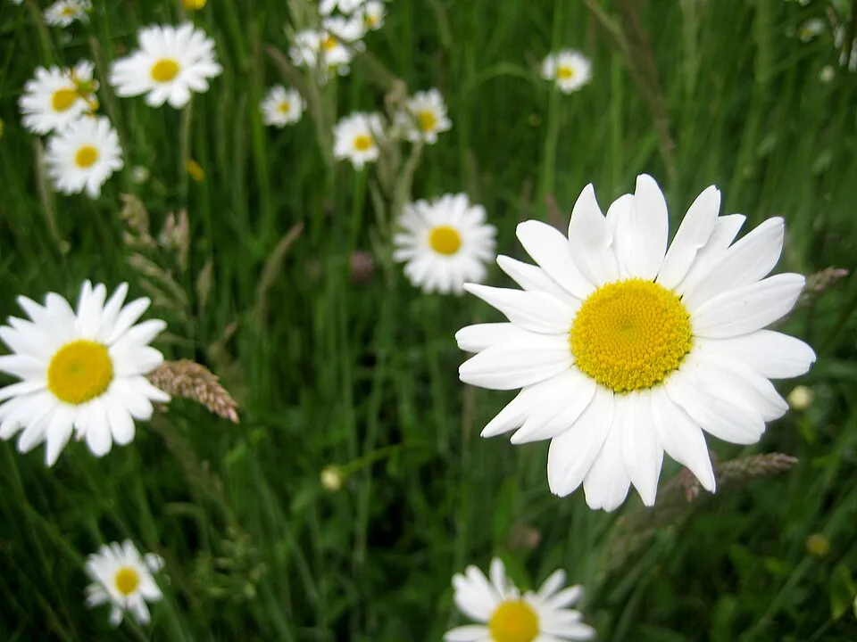
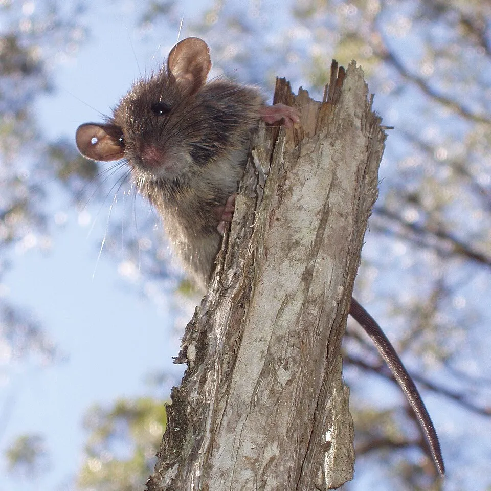
Among the species most often recorded on GBIF are Leucanthemum vulgare (Oxeye daisy), Rusa unicolor (Sambar), Rattus fuscipes (Bush rat) and Salix cinerea (Grey Willow).
Who manages Alpine National Park?
Parks Victoria.
What is the official website of Alpine National Park?
© OpenStreetMap
Download the boundary: GeoJSON · GPX Boundary © OpenStreetMap contributors (ODbL).
Geography
The representative point of the site lies at around 1,575 m above sea level. Over the 1996–2025 period, the mean annual temperature is about 6.3 °C and total precipitation reaches roughly 993 mm per year. The warmest month is usually January, the coolest July, and the wettest November.
Area
- Area
- 661,777 ha
- Elevation
- 1,575 m
- Median elevation
- 979 m
- Mean slope
- 16°
- Coordinates
- -37.3375, 146.757
Terrain: Mapzen Terrain Tiles (SRTM, USGS)
Elevation bands
- below 500 m 6%
- 500–1,000 m 46%
- 1,000–1,500 m 40%
- 1,500–2,000 m 8%
share of the site in each elevation band (smoothed terrain model: summits are rounded off) · Terrain: Mapzen Terrain Tiles (SRTM, USGS)
Main summits
- Mount Bogong1,986 m
- West Peak1,962 m
- Mount Feathertop1,922 m
- Mount Nelse West1,893 m
- Mount Nelse North1,885 m
- Mount Nelse1,882 m
- Mount Loch1,865 m
- Mount Fainter South1,861 m
- Mount Jaithmathang1,852 m
- Mount Cope1,837 m
Data © OpenStreetMap contributors (ODbL)
Climate
● Mean temperature (°C) · ▮ Precipitation (mm)
Source: Copernicus ERA5-Land (C3S, doi:10.24381/cds.68d2bb30), monthly averages 1996–2025 interpolated to the representative point, temperatures adjusted for elevation.
Contains modified Copernicus Climate Change Service information 2026. Neither the European Commission nor ECMWF is responsible for any use that may be made of the Copernicus information or data it contains.
Snow cover measured by satellite
J
F
M
A
M
J
J
A
S
O
N
D
average share of the site under snow · snowiest parts · ≈ 10 days a year
Snow cover: MODIS/Terra MOD10CM v61 (Hall & Riggs, 2021, NASA NSIDC DAAC, doi:10.5067/MODIS/MOD10CM.061), imagery from NASA GIBS (ESDIS); 2015–2025 average, grid of about 5 km.
Natural habitats
According to the global MODIS land cover (NASA, 2024), the site is mainly made up of forests (95%). Woodland is mostly coniferous. Elevation ranges from about 460 m to 1,986 m (highest point: Mount Bogong). Median elevation is 979 m, and 48% of the site lies above 1,000 m (SRTM elevation model). The terrain is steep: 53% of slopes exceed 15° (mean slope 16°).
Biodiversity
Based on occurrences aggregated by GBIF, several species are regularly recorded within the site. Among the most frequent are Leucanthemum vulgare (Oxeye daisy), Rusa unicolor (Sambar), Rattus fuscipes (Bush rat) and Salix cinerea (Grey Willow). The full list of documented taxa is shown below.
Species to look out for

Mammal
Sambar
Rusa unicolor4,666 records © Museum of Veterinary Anatomy FMVZ USP / Wagner Souza e Silva, edited by Rodrigo Tetsuo Argenton · CC BY-SA 4.0

Mammal
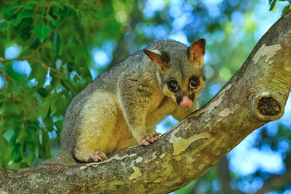
Common Brush-tailed Possum
Trichosurus vulpecula1,271 records © Andrew Mercer (www.baldwhiteguy.co.nz) · CC BY-SA 4.0
Observed species
Occurrences documented via GBIF; they are neither an exhaustive inventory nor proof of current presence.
- Oxeye daisy · Leucanthemum vulgare · 7853
- Sambar · Rusa unicolor · 4666
- Bush rat · Rattus fuscipes · 2531
- Grey Willow · Salix cinerea · 2386
- Abundant-fruited Bramble · Rubus cissburiensis · 1288
- Common Brush-tailed Possum · Trichosurus vulpecula · 1271
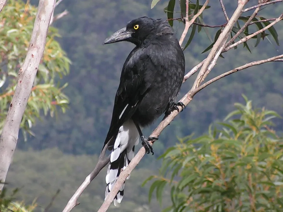
- Pied Currawong · Strepera graculina · 1260
- Agile antechinus · Antechinus agilis · 1146
- Crimson Rosella · Platycercus elegans · 1101
- Ranunculus victoriensis · 1037
- Hairy cat's ear · Hypochaeris radicata · 1022
- Asian shortstem sedge · Carex breviculmis · 1016
+18 more species
- Alpine grevillea · Grevillea australis · 988
- Grey Shrikethrush · Colluricincla harmonica · 982
- Yellow-faced Honeyeater · Caligavis chrysops · 953
- Biddy-biddy · Acaena novae-zelandiae · 946
- Prickly starwort · Stellaria pungens · 938
- Grey Fantail · Rhipidura albiscapa · 938
- Snow gum · Eucalyptus pauciflora · 937
- White-throated Treecreeper · Cormobates leucophaea · 931
- Viola betonicifolia · 900
- Brown Trout · Salmo trutta · 894
- White-browed Scrubwren · Sericornis frontalis · 891
- Poa hiemata · 886
- Ledge Grass · Poa hothamensis · 865
- Poa fawcettiae · 862
- Prickly Horn Snail · Cerithium echinatum · 860
- Australian Caraway · Chaerophyllum eriopodum · 857
- Sheep sorrel · Rumex acetosella · 851
- Asperula gunnii · 833
Records: GBIF.org (CC-BY). Names: Wikidata (CC0), GBIF. Photos: Wikimedia Commons.
Conservation challenges
The primary purpose of the site is to preserve its natural habitats and the biodiversity they support. The species recorded (Biodiversity tab) reflect its ecological value. Its status as a national park sets the regulatory framework for its protection.
According to Global Forest Change data (University of Maryland, Global Forest Watch), about 144,590 ha of tree cover were lost within the boundary between 2001 and 2023 (22% of its area), peaking in 2019 and 2020. These losses include logging, storms and fires, and do not account for regrowth. At night, the area gives off virtually no artificial light detectable from space (NASA VIIRS Black Marble composite, 2016). Since 2000, 133 invasive alien species have been recorded within the site (GBIF observations). Among them: Rusa unicolor (Sambar), Salix cinerea (Grey Willow) and Rubus cissburiensis (Abundant-fruited Bramble).
Pressure indicators
Tree cover lost
144,588 ha
2001–2023 · 22% of the area
20012023
Light at night
0%
of the area gives off artificial light visible from space
DarkLit
Invasive alien species
133
recorded since 2000
Sambar
Grey Willow
Abundant-fruited Bramble
Superb Lyrebird
Hypericum veronense
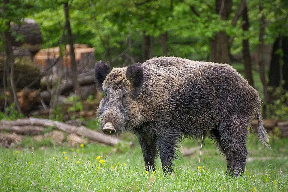 Wild boar
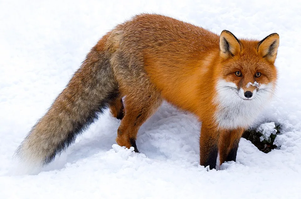 Red fox
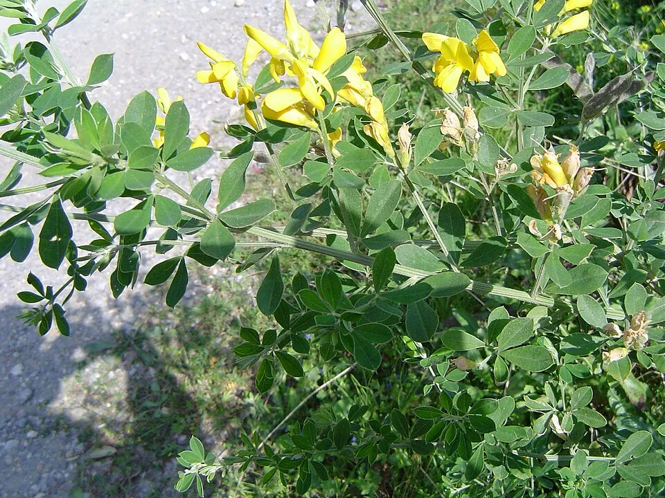 Montpellier Broom
Photos: Sambar © Museum of Veterinary Anatomy FMVZ USP / Wagner Souza e Silva, edited by Rodrigo Tetsuo Argenton · CC BY-SA 4.0; Grey Willow © BCB · Public domain; Wild boar © Valentin Panzirsch · CC BY-SA 3.0; Red fox © ClaudiaTen · CC BY-SA 4.0; Montpellier Broom © Ximenex · CC BY-SA 2.1
Sources: Global Forest Change (Hansen et al., University of Maryland, via Global Forest Watch, CC-BY 4.0); EFFIS, European Commission / Copernicus; NASA Black Marble 2016 (public domain); CORINE Land Cover 2018 (Copernicus) or MODIS.
Invasive alien species: Global Register of Introduced and Invasive Species (ISSG, CC BY 4.0); Union list, Regulation (EU) 1143/2014 (INBO, CC0); GBIF.org records (CC0 / CC BY 4.0), at least 2 per species.
Practical information
Cities and airport
- Airport: Albury (ABX)
72 km as the crow flies
Visitor information
- Surveyors Creek Camp
3 km from the site boundary
Parking
44 public car parks listed within the site · 1 trailheads
Moroka Hut Car ParkBryce Gorge CarparkAnglers Rest Camping Area / Rest AreaBundara River Picnic Area
Hiking
13 waymarked routes listed, including:
Australian Alps Walking TrackMcMillans Walking TrackFalls to Hotham Alpine CrossingBrabralung Trail
Data © OpenStreetMap contributors (ODbL) · Wikidata (CC0)
Access and visiting
Nearest airport: Albury (ABX), about 72 km away. About 13,000 people live within 20 km of the site boundary, 5,600 of them within 10 km; some 210 people are estimated to live inside (GHSL estimate, 2020). This population has grown by about 8% since 2000. Visitor information on site: Surveyors Creek Camp. Public car parks listed within the site: 44, including Moroka Hut Car Park, Bryce Gorge Carpark and Anglers Rest Camping Area / Rest Area. Waymarked hiking routes listed in OpenStreetMap: 13, including Australian Alps Walking Track, McMillans Walking Track, Falls to Hotham Alpine Crossing and Brabralung Trail. To plan a visit (access, opening periods, visitor rules), it is best to consult the official information from the managing body (Parks Victoria) and the official website listed in this page's sources.
Source: OpenStreetMap (ODbL), Wikidata (CC0), November 2026.
Built heritage
According to Wikidata, 12 monuments listed on Australian state heritage registers or the Commonwealth Heritage List stand within the boundary, 1 of them a National Heritage List place. Among them are 2 bridges, lighthouses, mills and working buildings and 1 house or civic building. Nationally designated items include “Australian Alps National Parks and Reserves” in New South Wales.
2 bridges, lighthouses, mills and working buildings1 house or civic building
-
Australian Alps National Parks and Reserves
National
New South Wales · 21st c. -
Maisie's Plots
Alpine -
Cobungra Bridge
East Gippsland · 20th c. -
Glengarry Gold Battery and Chlorination Works
Towong -
Red Robin Mine
Victoria -
Greens Creek Battery Site
Towong -
Mckillops Bridge
East Gippsland -
Melbourne University Mountaineering Club Hut
Alpine · 20th c.
and 4 more
Source: Wikidata (CC0), monuments in each country’s official heritage protection registers, at national or regional level. Each item links to its Wikidata entry.
When to visit
Best time to visit: from December to March, with average temperatures of 10 to 14 °C and moderate rainfall. These averages apply to the site's representative point (1,575 m); higher up it is markedly cooler and snow lasts longer. Snow only makes brief appearances in winter (about 10 days a year on average, MODIS satellites 2015–2025). Day length ranges from about 9 h 36 min in June to 14 h 43 min in December. Wildlife records published on GBIF peak for birds (from November to January), plants (January and February), butterflies and moths (February), dragonflies (January) and mammals (March). These peaks also reflect when observers are most active.
Source: Copernicus ERA5-Land (C3S), monthly averages 1996–2025 at the representative point, temperatures adjusted for elevation.
Contains modified Copernicus Climate Change Service information 2026. Neither the European Commission nor ECMWF is responsible for any use that may be made of the Copernicus information or data it contains.
Wildlife records calendar
JFMAMJJASOND
Birds
Plants
Butterflies & moths
Dragonflies
Mammals
Monthly records published on GBIF (CC-BY), relative to the busiest month; also reflects observer activity.
Gallery
© Alex Cohen · CC BY-SA 3.0
© Melburnian · CC BY-SA 3.0
© Leighblackall · CC BY-SA 4.0
© Catching The Eye · CC BY 2.0
© Peter Campbell · CC BY-SA 3.0
© Peter Neaum · CC BY 3.0
Sources and licences
- Wikidata: Q1291186
- OpenStreetMap: relation 2248617
- Official website: https://www.parks.vic.gov.au/places-to-see/parks/alpine-national-park
- Wikipedia: en.wikipedia.org/wiki/Alpine_National_Park
- WDPA: 62941
References
- cds.climate.copernicus.eu: climate · CC-BY-4.0
- registry.opendata.aws: elevation of the reference point, detailed relief · PD
- lpdaac.usgs.gov: land cover · PD
- doi.org: population around the site · CC-BY-4.0
- naturalearthdata.com: sea share · PD
- wikidata.org: official area, establishment date, protected heritage, managing body, official name, nearby cities and airport, lake depths, official website · CC0-1.0
- en.eurovelo.com: EuroVelo cycle routes · ODbL-1.0
- cycling.waymarkedtrails.org: cycle routes · ODbL-1.0
- opentopodata.org: elevations · PD
- globalforestwatch.org: tree cover loss · CC-BY-4.0
- gbif.org: seasonality of sightings, invasive alien species, observed species · CC-BY-4.0
- earthobservatory.nasa.gov: night light · PD
- openstreetmap.org: access and peaks, trail difficulty, wheelchair access · ODbL-1.0
- nsidc.org: snow cover · PD
- wikidata.org: Wikipedia article · CC-BY-SA-4.0
Data © OpenStreetMap contributors (ODbL), Wikidata (CC0) and the sources cited.