
Bird
Superb fairywren
Malurus cyaneus210 records © JJ Harrison (https://www.jjharrison.com.au/) · CC BY-SA 3.0
Australia · Marine
National park of 4,600 hectares in Australia, established in 2002.
National park of 4,600 hectares in Australia, established in 2002.
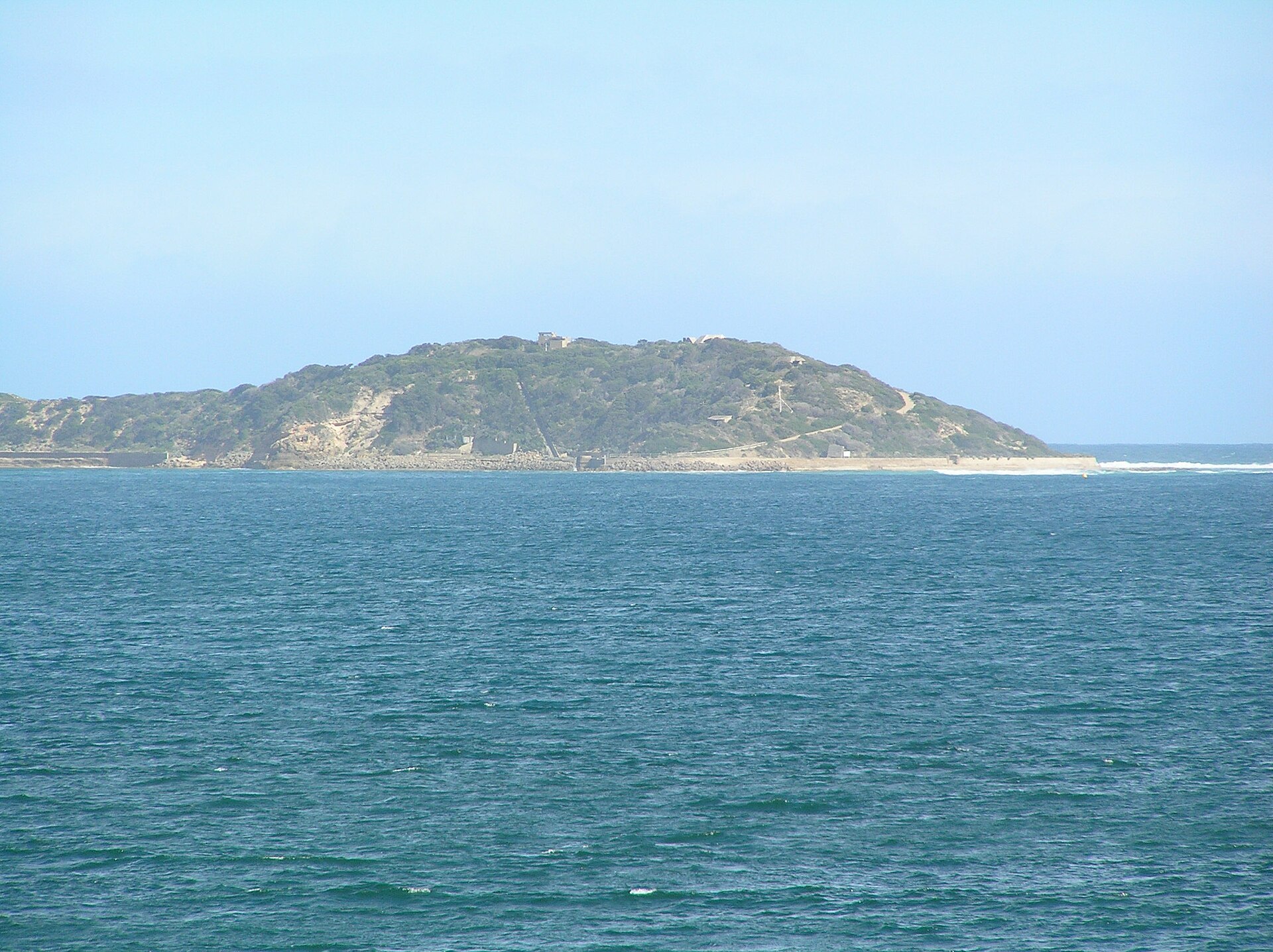
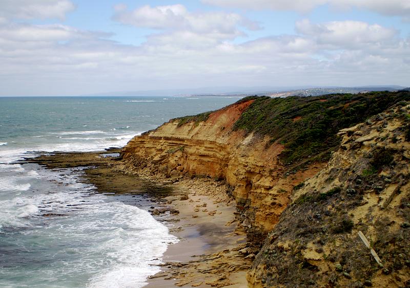
Point Addis Marine National Park is located in Australia (Oceania). It is a predominantly marine area. Established on 16 November 2002, it covers about 4,600 hectares. The site is managed by Parks Victoria.
In Australia (Oceania). Representative point: 38.4167° S, 144.2333° E.
About 4,600 hectares (46 km²). It is the 389th largest of the 678 national parks in Australia covered by Parkavela. About 4,200 ha are at sea.
On 16 November 2002.
A marine area, with coasts.
The climate suits visits all year round.
Nearest towns of over 50,000 people, as the crow flies: Geelong (25 km) and Melbourne (86 km). Nearest airport: Melbourne (MEL), about 91 km away.
The nearest railway station is Waurn Ponds, about 17 km from the site boundary.
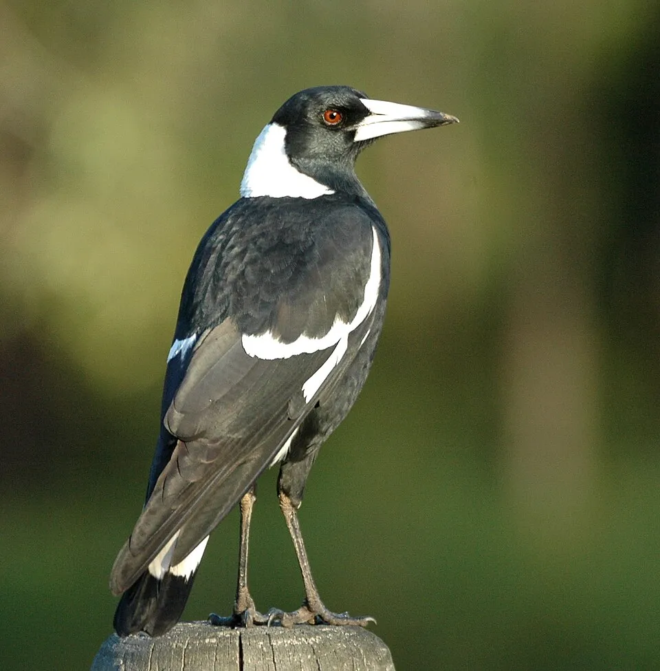
Among the species most often recorded on GBIF are Malurus cyaneus (Superb fairywren), Platycercus elegans (Crimson Rosella), Gymnorhina tibicen (Australian Magpie) and Hirundo neoxena (Welcome Swallow).
Parks Victoria.
© OpenStreetMap
Download the boundary: GeoJSON · GPX Boundary © OpenStreetMap contributors (ODbL).
Over the 1996–2025 period, the mean annual temperature is about 14.5 °C and total precipitation reaches roughly 544 mm per year. The warmest month is usually January, the coolest July, and the wettest November.
● Mean temperature (°C) · ▮ Precipitation (mm)
Source: Copernicus ERA5-Land (C3S, doi:10.24381/cds.68d2bb30), monthly averages 1996–2025 interpolated to the representative point, temperatures adjusted for elevation.
Contains modified Copernicus Climate Change Service information 2026. Neither the European Commission nor ECMWF is responsible for any use that may be made of the Copernicus information or data it contains.
The sea covers about 92% of the site. The seabed reaches about 56 m deep (median depth 30 m; GEBCO bathymetry).
Based on occurrences aggregated by GBIF, several species are regularly recorded within the site. Among the most frequent are Malurus cyaneus (Superb fairywren), Platycercus elegans (Crimson Rosella), Gymnorhina tibicen (Australian Magpie) and Hirundo neoxena (Welcome Swallow). The full list of documented taxa is shown below.
Bird
210 records © JJ Harrison (https://www.jjharrison.com.au/) · CC BY-SA 3.0
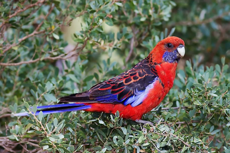
Bird
205 records © JJ Harrison (https://www.jjharrison.com.au/) · CC BY-SA 3.0
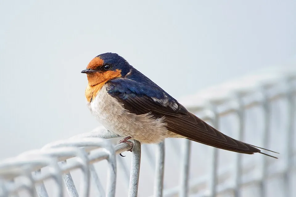
Bird
198 records © JJ Harrison (https://www.jjharrison.com.au/) · CC BY-SA 3.0
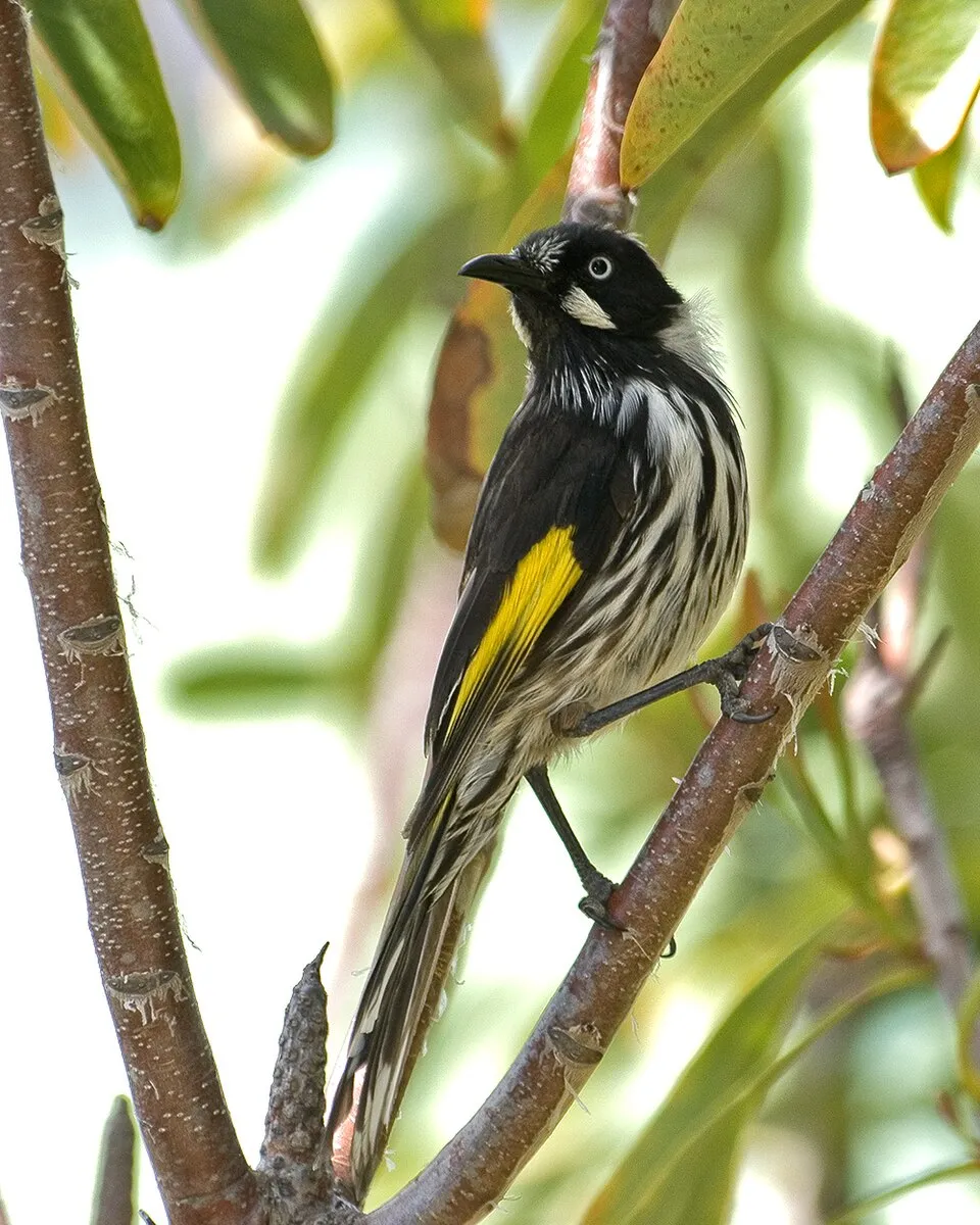

Bird
187 records © JJ Harrison (https://www.jjharrison.com.au/) · CC BY-SA 3.0
Occurrences documented via GBIF; they are neither an exhaustive inventory nor proof of current presence.
Records: GBIF.org (CC-BY). Names: Wikidata (CC0), GBIF. Photos: Wikimedia Commons.
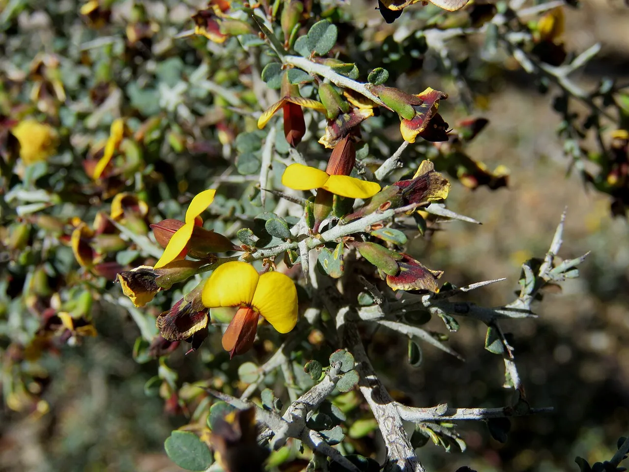
The primary purpose of the site is to preserve its natural habitats and the biodiversity they support. The species recorded (Biodiversity tab) reflect its ecological value. Its status as a national park sets the regulatory framework for its protection.
Invasive alien species have been recorded within the site since 2000 (GBIF observations). Among them: Sturnus vulgaris (Common Starling), Spilopelia chinensis (Spotted Dove) and Acridotheres tristis (Common myna).
4
recorded since 2000
Photos: Common Starling © PierreSelim · CC BY-SA 3.0; Spotted Dove © Lip Kee from Singapore, Republic of Singapore · CC BY-SA 2.0; Common myna © Tisha Mukherjee · CC BY-SA 4.0; Rock Dove © william_stephens · CC BY 4.0
Sources: Global Forest Change (Hansen et al., University of Maryland, via Global Forest Watch, CC-BY 4.0); EFFIS, European Commission / Copernicus; NASA Black Marble 2016 (public domain); CORINE Land Cover 2018 (Copernicus) or MODIS.
Invasive alien species: Global Register of Introduced and Invasive Species (ISSG, CC BY 4.0); Union list, Regulation (EU) 1143/2014 (INBO, CC0); GBIF.org records (CC0 / CC BY 4.0), at least 2 per species.
Data © OpenStreetMap contributors (ODbL) · Wikidata (CC0)
The nearest railway station is Waurn Ponds, about 17 km from the site boundary. Nearest towns of over 50,000 people, as the crow flies: Geelong (25 km) and Melbourne (86 km). Nearest airport: Melbourne (MEL), about 91 km away. About 54,000 people live within 20 km of the site boundary, 23,000 of them within 10 km (GHSL estimate, 2020). This population has grown by about 69% since 2000. To plan a visit (access, opening periods, visitor rules), it is best to consult the official information from the managing body (Parks Victoria) and the official website listed in this page's sources.
Source: OpenStreetMap (ODbL), Wikidata (CC0), November 2026.
The climate suits visits all year round. Day length ranges from about 9 h 30 min in June to 14 h 50 min in December. Wildlife records published on GBIF peak for birds (July) and plants (December). These peaks also reflect when observers are most active.
Source: Copernicus ERA5-Land (C3S), monthly averages 1996–2025 at the representative point, temperatures adjusted for elevation.
Contains modified Copernicus Climate Change Service information 2026. Neither the European Commission nor ECMWF is responsible for any use that may be made of the Copernicus information or data it contains.
Monthly records published on GBIF (CC-BY), relative to the busiest month; also reflects observer activity.
Data © OpenStreetMap contributors (ODbL), Wikidata (CC0) and the sources cited.
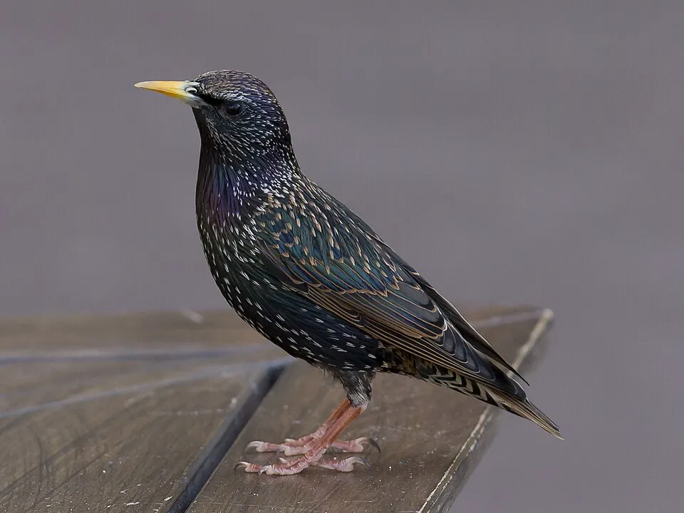 Common Starling
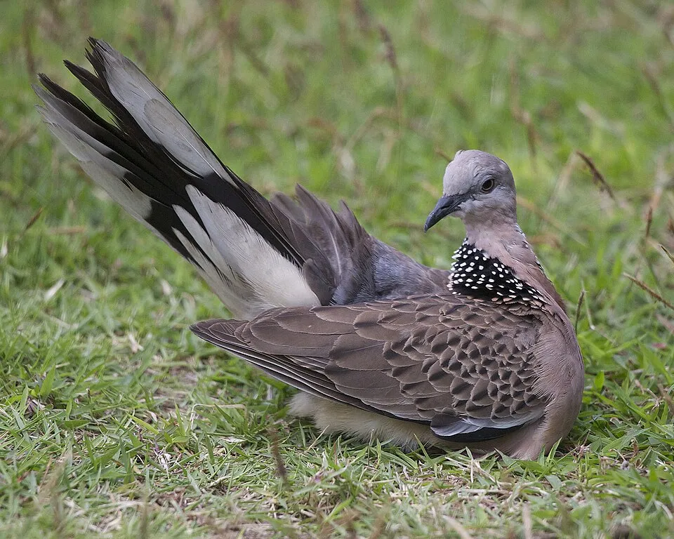 Spotted Dove
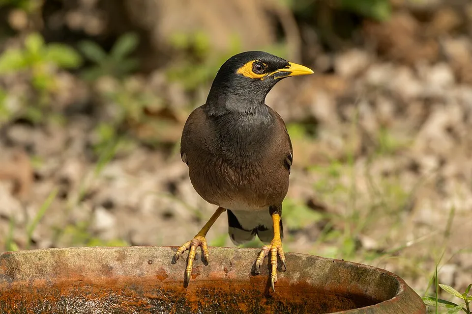 Common myna
 Rock Dove