France · Terrestrial
Pointe de Givet National Nature Reserve
Nature reserve of 354 hectares in France, established in 1999.
Overview
Nature reserve of 354 hectares in France, established in 1999.
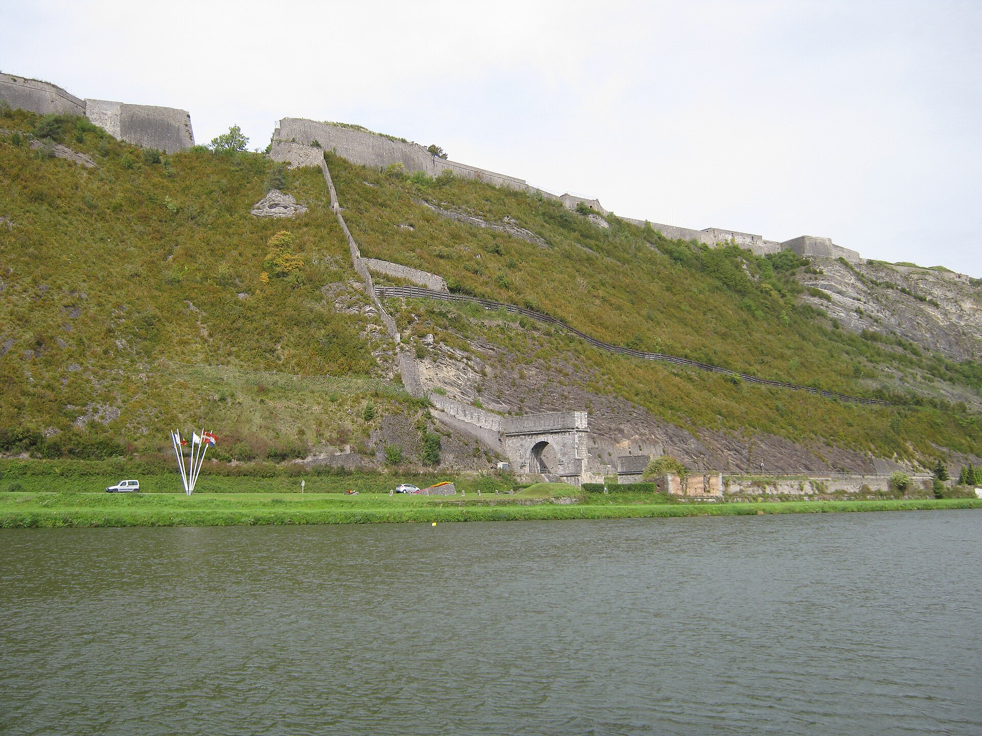
Pointe de Givet National Nature Reserve is located in France (Europe). It is a predominantly terrestrial area. Established on 4 March 1999, it covers about 354 hectares. The site is managed by Conservatory of natural areas.
Protections and designations
Natura 2000 · habitats (SAC)
Natura 2000 · birds (SPA)
- Plateau ardennais FR2112013
Protected as a nature reserve. International labels and designations: Natura 2000 network (2 sites). Key dates: established in 1999, first Natura 2000 site under the Birds Directive in 2006 and first Natura 2000 site under the Habitats Directive in 2013.
In our collections
Timeline
-
1999
Established
-
2006
First Natura 2000 site under the Birds Directive
-
2013
First Natura 2000 site under the Habitats Directive
Sources: Wikidata (CC0) for establishment and international labels; EEA Natura 2000 database (CC-BY 4.0) for site designation dates.
Frequently asked questions
Where is Pointe de Givet National Nature Reserve?
In France (Europe). Representative point: 50.1184° N, 4.8185° E.
How large is Pointe de Givet National Nature Reserve?
About 354 hectares (4 km²). It is the 61st largest of the 121 nature reserves in France covered by Parkavela.
When was Pointe de Givet National Nature Reserve established?
On 4 March 1999.
What habitats and landscapes does Pointe de Givet National Nature Reserve include?
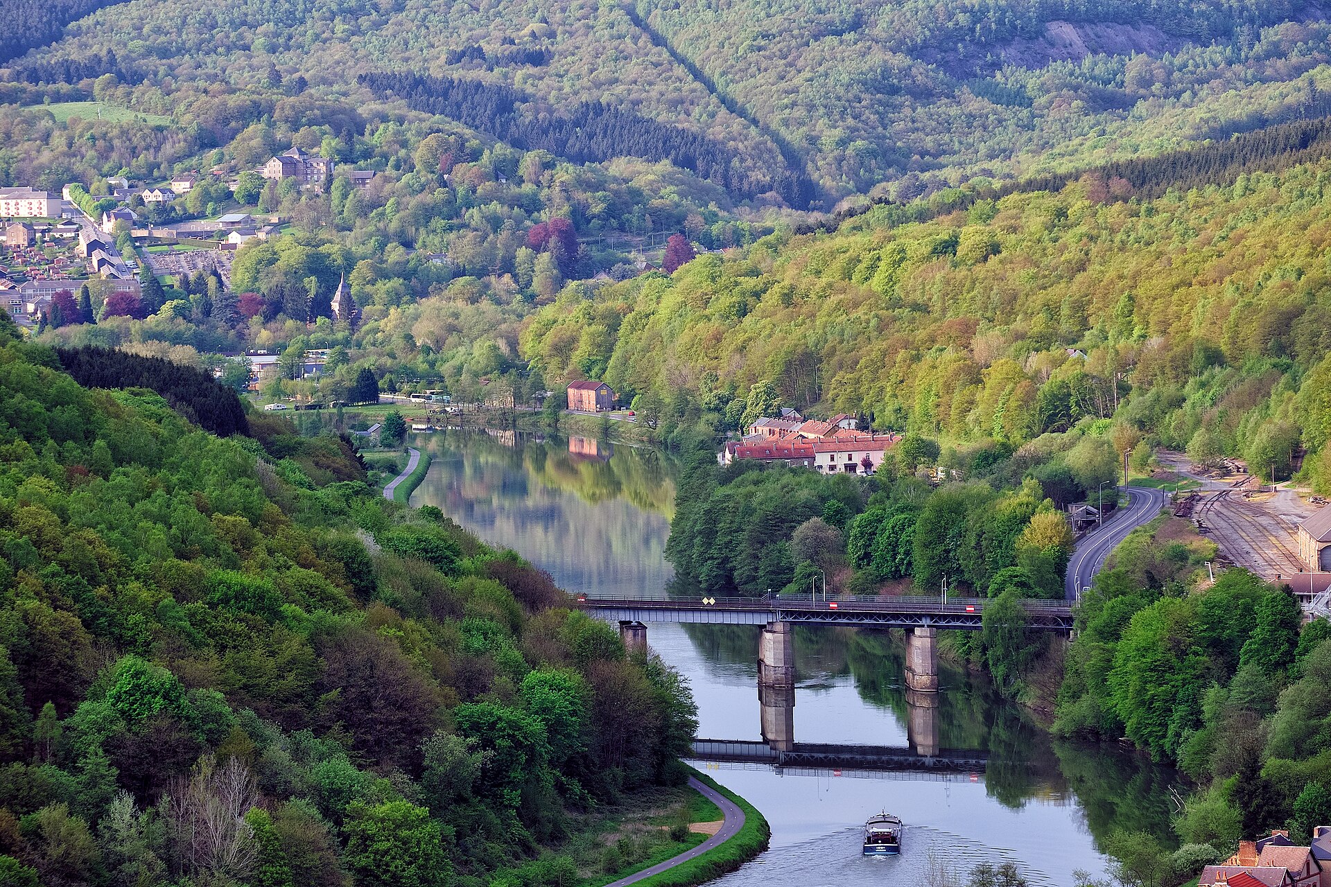
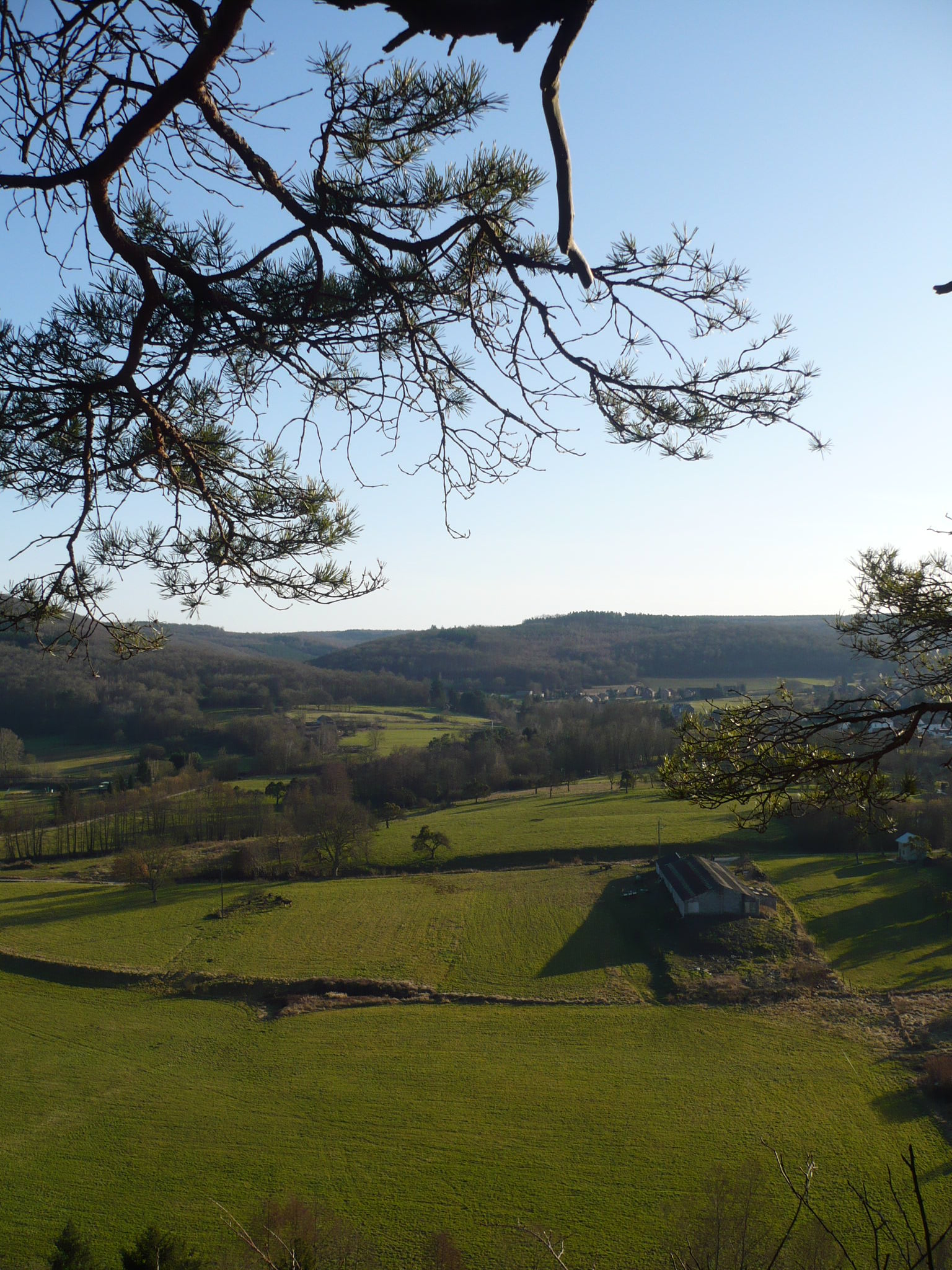
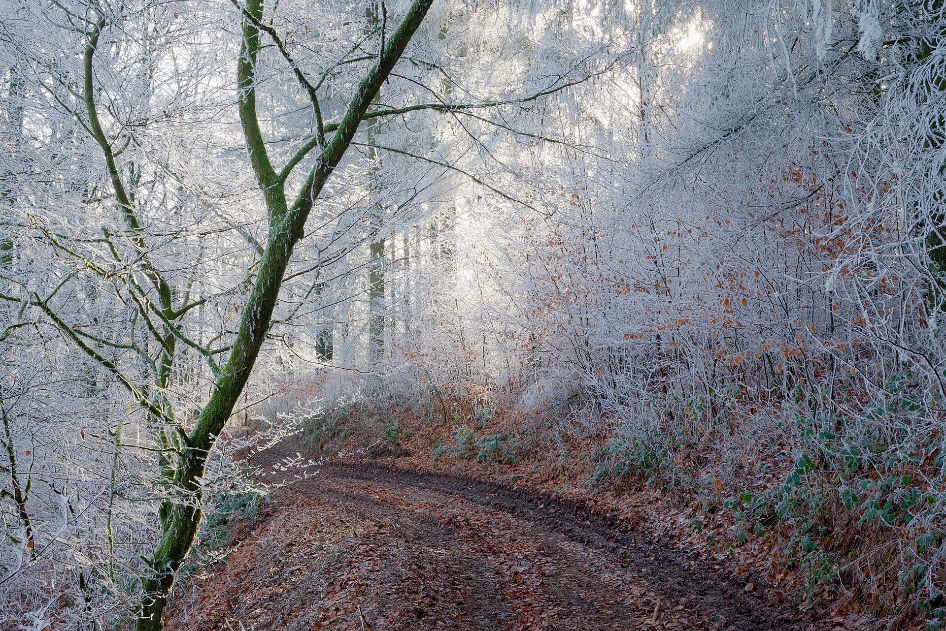
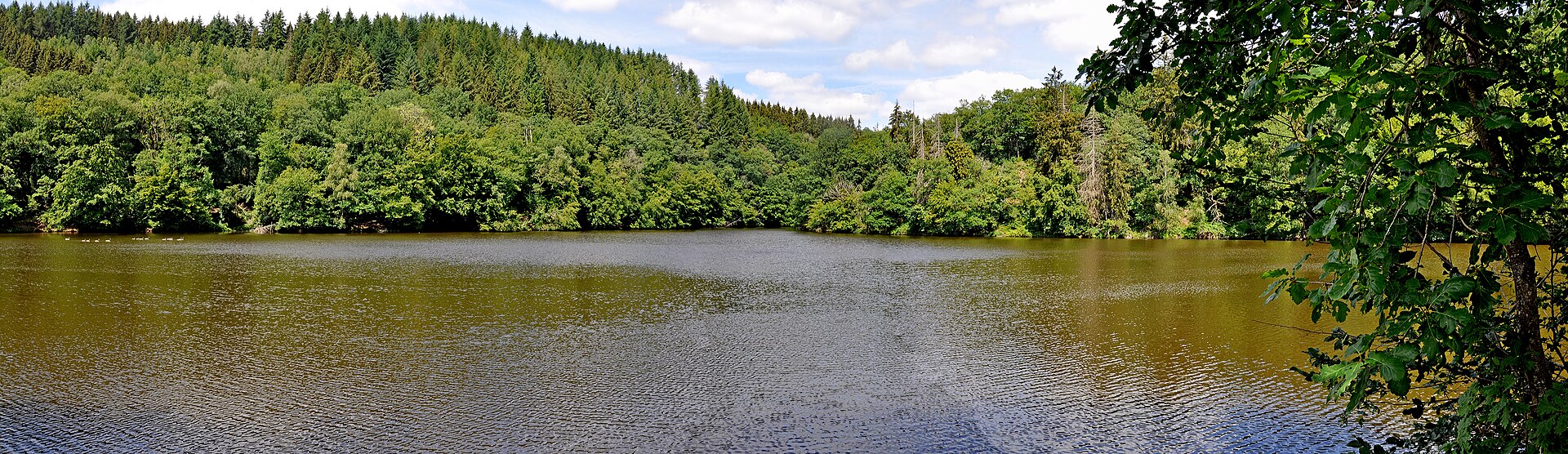
A terrestrial area, with forests.
What rocks lie beneath Pointe de Givet National Nature Reserve?
According to the BRGM's simplified lithological map, the bedrock consists mainly of sandstones (100% of sampled points). These are mostly sedimentary rocks.
Which international labels apply to Pointe de Givet National Nature Reserve?
Natura 2000 network (2 sites).
When is the best time to visit Pointe de Givet National Nature Reserve?
Best time to visit: from May to October, with average temperatures of 11 to 19 °C and moderate rainfall.
What is there to see in Pointe de Givet National Nature Reserve?
10 viewpoints and 4 caves, including Maurière, Grotte de Nichet, Vue sur Ham-sur-Meuse and Grotte des Trois Fontaines (OpenStreetMap).
What is the nearest large city to Pointe de Givet National Nature Reserve?
Nearest towns of over 50,000 people, as the crow flies: Namur (37 km) and Charleroi (39 km). Nearest airport: Brussels South Charleroi (CRL), about 42 km away.
How can I reach Pointe de Givet National Nature Reserve by train?
The nearest railway station is Givet, less than 1 km from the site boundary.
Where can I get visitor information on site?
Accueil de l'accropierre de Charlemont, Accueil site de Charlemont and Office de Tourisme Val d'Ardenne.
Which species can be seen in Pointe de Givet National Nature Reserve?
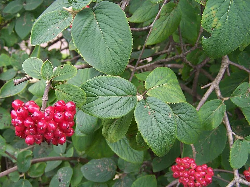
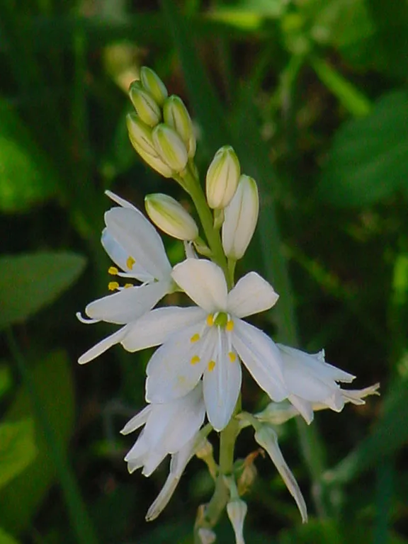
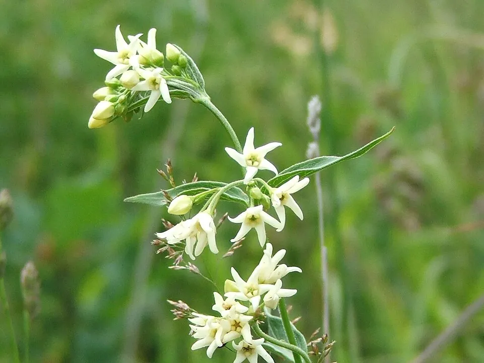
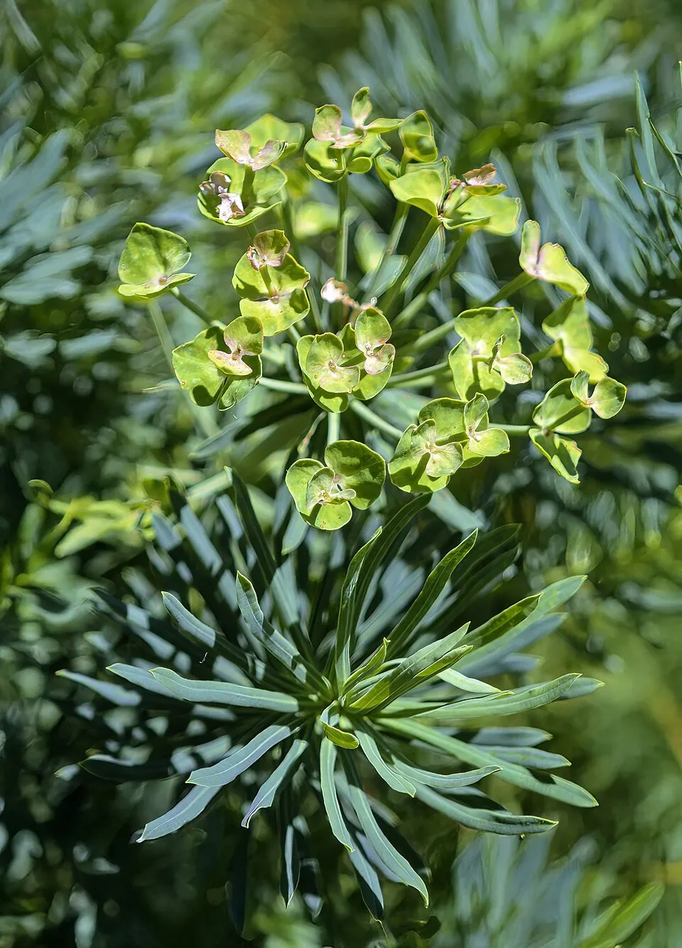
Among the species most often recorded on GBIF are Viburnum lantana (Wayfaring-tree), Anthericum liliago (St. Bernard’s lily), Vincetoxicum hirundinaria (White swallow-wort) and Euphorbia cyparissias (Cypress Spurge).
Who manages Pointe de Givet National Nature Reserve?
Conservatory of natural areas.
© OpenStreetMap
Download the boundary: GeoJSON · GPX Boundary © OpenStreetMap contributors (ODbL).
Geography
The representative point of the site lies at around 149 m above sea level. Over the 1996–2025 period, the mean annual temperature is about 10.5 °C and total precipitation reaches roughly 935 mm per year. The warmest month is usually July, the coolest January, and the wettest August. According to the BRGM's simplified lithological map, the bedrock consists mainly of sandstones (100% of sampled points). These are mostly sedimentary rocks.
Area
- Area
- 354 ha
- Elevation
- 149 m
- Mean slope
- 9°
- Coordinates
- 50.1184, 4.8185
Terrain: Mapzen Terrain Tiles (SRTM, USGS)
Bedrock
- Sandstones 100 %
Sedimentary rocks 100 %
Source: BRGM, simplified lithological map at 1:1,000,000 (Licence Ouverte), 11 points sampled within the boundary.
Climate
● Mean temperature (°C) · ▮ Precipitation (mm)
Source: Copernicus ERA5-Land (C3S, doi:10.24381/cds.68d2bb30), monthly averages 1996–2025 interpolated to the representative point, temperatures adjusted for elevation.
Contains modified Copernicus Climate Change Service information 2026. Neither the European Commission nor ECMWF is responsible for any use that may be made of the Copernicus information or data it contains.
Natural habitats
According to CORINE Land Cover (2018), the site is mainly made up of forests (42%), farmland (18%) and grassland and meadows (18%). Woodland is mostly broadleaved. The 2 Natura 2000 sites overlapping the area list 12 habitats of European interest (3 priority), the most extensive being Sub-Atlantic and medio-European oak or oak-hornbeam forests of the Carpinion betuli, semi-natural dry grasslands and scrubland facies on calcareous substrates (Festuco-Brometalia) (* important orchid sites) and stable xerothermophilous formations with Buxus sempervirens on rock slopes (Berberidion p.p.).
Biodiversity
Based on occurrences aggregated by GBIF, several species are regularly recorded within the site. Among the most frequent are Viburnum lantana (Wayfaring-tree), Anthericum liliago (St. Bernard’s lily), Vincetoxicum hirundinaria (White swallow-wort) and Euphorbia cyparissias (Cypress Spurge). The full list of documented taxa is shown below. The overlapping Natura 2000 sites list 64 species of European interest: 55 birds, 6 mammals, 1 reptile and 2 invertebrates.
Habitats of European interest
From the official forms of the 2 Natura 2000 sites overlapping the area (areas reported for each whole site).
- Sub-Atlantic and medio-European oak or oak-hornbeam forests of the Carpinion betuli 108 ha
- Semi-natural dry grasslands and scrubland facies on calcareous substrates (Festuco-Brometalia) (* important orchid sites) 51 ha
- Stable xerothermophilous formations with Buxus sempervirens on rock slopes (Berberidion p.p.) 11 ha
- Medio-European limestone beech forests of the Cephalanthero-Fagion 9 ha
- Tilio-Acerion forests of slopes, screes and ravines priority 9 ha
- Rupicolous calcareous or basophilic grasslands of the Alysso-Sedion albi priority 4 ha
- Calcareous rocky slopes with chasmophytic vegetation 3 ha
- Western Mediterranean and thermophilous scree 2 ha
and 4 more
Species of European interest
Birds · 55
Common Sandpiper (Actitis hypoleucos) passage, Boreal Owl (Aegolius funereus) resident, Common Kingfisher (Alcedo atthis) resident, Northern Pintail (Anas acuta) passage, Eurasian Teal (Anas crecca) passage, Mallard (Anas platyrhynchos) wintering breeding passage, Great Egret (Ardea alba) wintering, Grey Heron (Ardea cinerea) breeding wintering passage, Short-eared Owl (Asio flammeus) breeding, Common Pochard (Aythya ferina) passage wintering, Tufted Duck (Aythya fuligula) passage wintering, Hazel Grouse (Bonasa bonasia) resident and 43 more
Mammals · 6
Barbastelle (Barbastella barbastellus), Bechstein's bat (Myotis bechsteinii), Geoffroy's bat (Myotis emarginatus), Greater mouse-eared bat (Myotis myotis), Greater Horseshoe Bat (Rhinolophus ferrumequinum), Lesser horseshoe bat (Rhinolophus hipposideros)
Reptiles · 1
Invertebrates · 2
Marsh fritillary (Euphydryas aurinia), Large copper (Lycaena dispar)
Source: Natura 2000 standard data forms (EEA, CC-BY 4.0). Not exhaustive: sensitive species are not published.
Species to look out for

Observed species
Occurrences documented via GBIF; they are neither an exhaustive inventory nor proof of current presence.
- Wayfaring-tree · Viburnum lantana · 11
- St. Bernard’s lily · Anthericum liliago · 8
- White swallow-wort · Vincetoxicum hirundinaria · 7
- Cypress Spurge · Euphorbia cyparissias · 6
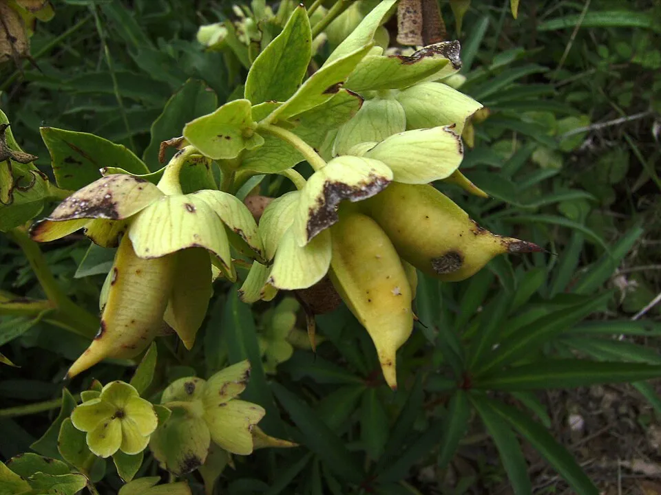
- Stinking Hellebore · Helleborus foetidus · 6
- Carthusian Pink · Dianthus carthusianorum · 6
- Hypnum moss · Hypnum cupressiforme · 5
- Monkey orchid · Orchis simia · 5
- Blackthorn · Prunus spinosa · 5
- White Mugwort · Artemisia alba · 5
- Grey pine carpet · Thera obeliscata · 5
- Spiral Extinguisher-moss · Encalypta streptocarpa · 5
+18 more species
- White stonecrop · Sedum album · 5
- Wall germander · Teucrium chamaedrys · 5
- Tortula moss · Syntrichia montana · 5
- Flat Neckera · Alleniella complanata · 5
- Orb dry rock moss · Grimmia orbicularis · 5
- Great tit · Parus major · 5
- Common Marble · Syricoris lacunana · 4
- Slow worm · Anguis fragilis · 4
- Square pleurochaete moss · Pleurochaete squarrosa · 4
- Silken homalothecium moss · Homalothecium sericeum · 4
- Common Striated Feather-moss · Eurhynchium striatum · 4
- Mollusc ctenidium moss · Ctenidium molluscum · 4
- Neat Feather-moss · Pseudoscleropodium purum · 4
- Early-purple Orchid · Orchis mascula · 4
- European Beech · Fagus sylvatica · 4
- Woodland germander · Teucrium scorodonia · 4
- Rock Cinquefoil · Drymocallis rupestris · 4
- Common Cotoneaster · Cotoneaster integerrimus · 4
Records: GBIF.org (CC-BY). Names: Wikidata (CC0), GBIF. Photos: Wikimedia Commons.
Conservation challenges
The primary purpose of the site is to preserve its natural habitats and the biodiversity they support. The species recorded (Biodiversity tab) reflect its ecological value. The designations it holds frame its management and the control of land use.
According to Global Forest Change data (University of Maryland, Global Forest Watch), about 12 ha of tree cover were lost within the boundary between 2001 and 2023 (3% of its area), peaking in 2021 and 2023. These losses include logging, storms and fires, and do not account for regrowth. Apart from forest felling and regrowth (about 90 ha in total), land cover remained almost unchanged between 1990 and 2018 according to CORINE Land Cover. At night, 54% of the area gives off artificial light detectable from space (NASA VIIRS Black Marble composite, 2016). Built-up and developed land (buildings, business areas, roads, quarries) covers 6% of the area, and farmland 18% (CORINE Land Cover). According to the Natura 2000 forms, of 12 assessed habitats of European interest, 6 are in average or reduced condition and the rest in good condition.
Pressure indicators
Tree cover lost
12 ha
2001–2023 · 3% of the area
20012023
Fires since 2016
0
No large fire mapped (fires over about 30 ha)
Light at night
54%
of the area gives off artificial light visible from space
DarkLit
Built-up land
6%
buildings, business areas, roads, quarries · farmland 18%
Land cover change
< 0.5%
of the area changed, 1990–2018 · CORINE
forest felling and regrowth: 90 ha in total
Invasive alien species
1
recorded since 2000
Sources: Global Forest Change (Hansen et al., University of Maryland, via Global Forest Watch, CC-BY 4.0); EFFIS, European Commission / Copernicus; NASA Black Marble 2016 (public domain); CORINE Land Cover 2018 (Copernicus) or MODIS.
CORINE Land Cover Change 1990–2018: generated using European Union's Copernicus Land Monitoring Service information (EEA), aggregated by Parkavela; DOI 10.2909/f30f1000-7cf8-43bb-872c-5eb093911b24.
Invasive alien species: Global Register of Introduced and Invasive Species (ISSG, CC BY 4.0); Union list, Regulation (EU) 1143/2014 (INBO, CC0); GBIF.org records (CC0 / CC BY 4.0), at least 2 per species.
Practical information
Cities and airport
- Namur
37 km as the crow flies - Charleroi
39 km as the crow flies - Airport: Brussels South Charleroi (CRL)
42 km as the crow flies
Visitor information
- Accueil de l'accropierre de Charlemont
within the site - Accueil site de Charlemont
< 1 km from the site boundary - Office de Tourisme Val d'Ardenne
< 1 km from the site boundary - Office Touristique
2 km from the site boundary
Things to see
10 viewpoints · 4 caves
- Maurière
viewpoint - Grotte de Nichet
cave - Vue sur Ham-sur-Meuse
viewpoint - Grotte des Trois Fontaines
cave - Trou des Tassons
cave
Data © OpenStreetMap contributors (ODbL) · Wikidata (CC0)
Access and visiting
The nearest railway station is Givet, less than 1 km from the site boundary. Nearest towns of over 50,000 people, as the crow flies: Namur (37 km) and Charleroi (39 km). Nearest airport: Brussels South Charleroi (CRL), about 42 km away. About 100,000 people live within 20 km of the site boundary, 35,000 of them within 10 km (GHSL estimate, 2020). This population has grown by about 7% since 2000. Visitor information on site: Accueil de l'accropierre de Charlemont, Accueil site de Charlemont and Office de Tourisme Val d'Ardenne. To see: 10 viewpoints and 4 caves, including Maurière, Grotte de Nichet, Vue sur Ham-sur-Meuse and Grotte des Trois Fontaines. To plan a visit (access, opening periods, visitor rules), it is best to consult the official information from the managing body (Conservatory of natural areas) and the official website listed in this page's sources.
Source: OpenStreetMap (ODbL), Wikidata (CC0), October 2026.
When to visit
Best time to visit: from May to October, with average temperatures of 11 to 19 °C and moderate rainfall. Day length ranges from about 8 h 05 min in December to 16 h 22 min in June. Wildlife records published on GBIF peak for birds (from April to June), plants (June), butterflies and moths (June and July) and dragonflies (May and June). These peaks also reflect when observers are most active.
Source: Copernicus ERA5-Land (C3S), monthly averages 1996–2025 at the representative point, temperatures adjusted for elevation.
Contains modified Copernicus Climate Change Service information 2026. Neither the European Commission nor ECMWF is responsible for any use that may be made of the Copernicus information or data it contains.
Wildlife records calendar
JFMAMJJASOND
Birds
Plants
Butterflies & moths
Dragonflies
Monthly records published on GBIF (CC-BY), relative to the busiest month; also reflects observer activity.
Gallery
© Titoine08 · Public domain
© MOSSOT · CC BY-SA 3.0
© migallel · CC BY-SA 4.0
Sources and licences
- Wikidata: Q3457322
- OpenStreetMap: relation 1066660
- Wikipedia: en.wikipedia.org/wiki/Pointe_de_Givet_National_Nature_Reserve
- WDPA: 178294
References
- cds.climate.copernicus.eu: climate · CC-BY-4.0
- registry.opendata.aws: elevation of the reference point, detailed relief · PD
- land.copernicus.eu: land cover, land cover change, sea share · COPERNICUS
- doi.org: population around the site · CC-BY-4.0
- wikidata.org: official area, establishment date, managing body, official name, nearby cities and airport, access and peaks, lake depths, places to see · CC0-1.0
- eea.europa.eu: bathing water quality, ecological status of waters · CC-BY-4.0
- en.eurovelo.com: EuroVelo cycle routes · ODbL-1.0
- cycling.waymarkedtrails.org: cycle routes · ODbL-1.0
- opentopodata.org: elevations · PD
- forest-fire.emergency.copernicus.eu: wildfires · COPERNICUS
- globalforestwatch.org: tree cover loss · CC-BY-4.0
- gbif.org: seasonality of sightings, invasive alien species, observed species · CC-BY-4.0
- infoterre.brgm.fr: geology · LO-2.0
- pop.culture.gouv.fr: protected heritage · LO-2.0
- hydrosheds.org: lakes · CC-BY-4.0
- natura2000.eea.europa.eu: Natura 2000 habitats and species · CC-BY-4.0
- earthobservatory.nasa.gov: night light · PD
- openstreetmap.org: access and peaks, places to see · ODbL-1.0
- nsidc.org: snow cover · PD
- wikidata.org: Wikipedia article · CC-BY-SA-4.0
Data © OpenStreetMap contributors (ODbL), Wikidata (CC0) and the sources cited.