France · Terrestrial
Réserve naturelle nationale de Mantet
Nature reserve of 3,028 hectares in France, established in 1984.
Overview
Nature reserve of 3,028 hectares in France, established in 1984.
Réserve naturelle nationale de Mantet is a nature reserve in France (Europe). It is a predominantly terrestrial area. Established in 1984, it covers about 3,028 hectares.
Protections and designations
Natura 2000 · habitats (SAC)
- Massif du Canigou FR9101475
Natura 2000 · birds (SPA)
- Canigou-conques de La Preste FR9110076
Protected as a nature reserve. International labels and designations: Natura 2000 network (2 sites). Key dates: established in 1984, first Natura 2000 site under the Birds Directive in 2004 and first Natura 2000 site under the Habitats Directive in 2011.
In our collections
Timeline
-
1984
Established
-
2004
First Natura 2000 site under the Birds Directive
-
2011
First Natura 2000 site under the Habitats Directive
Sources: Wikidata (CC0) for establishment and international labels; EEA Natura 2000 database (CC-BY 4.0) for site designation dates.
Frequently asked questions
Where is Réserve naturelle nationale de Mantet?
In France (Europe). Representative point: 42.4540° N, 2.2919° E.
How large is Réserve naturelle nationale de Mantet?
About 3,028 hectares (30 km²). It is the 19th largest of the 121 nature reserves in France covered by Parkavela.
When was Réserve naturelle nationale de Mantet established?
In 1984.
What habitats and landscapes does Réserve naturelle nationale de Mantet include?
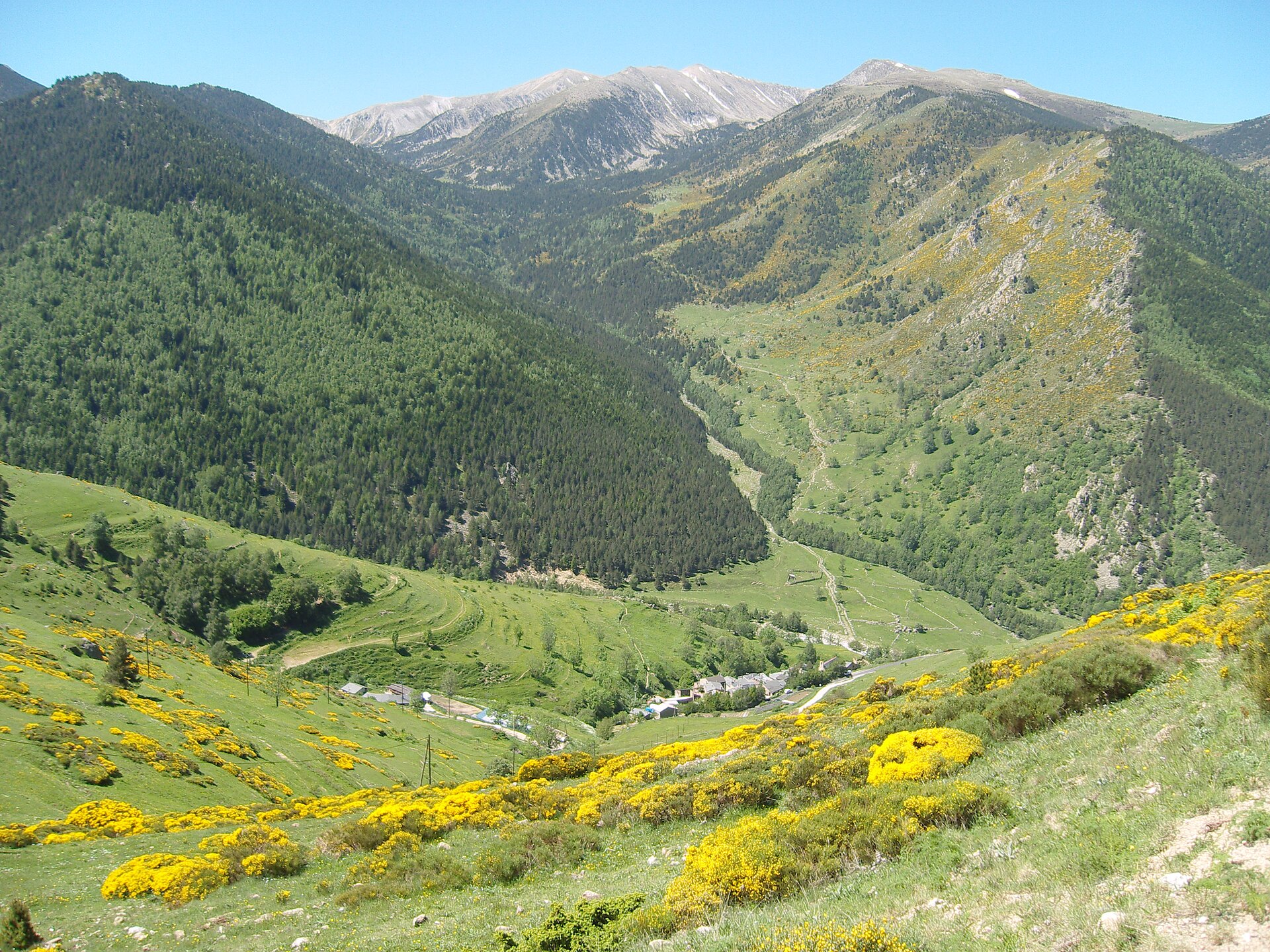
A terrestrial area, with forests and mountains.
What rocks lie beneath Réserve naturelle nationale de Mantet?
According to the BRGM's simplified lithological map, the bedrock consists mainly of gneiss (93% of sampled points). These are mostly metamorphic rocks.
What is the highest point of Réserve naturelle nationale de Mantet?
Pic de la Dona, at 2,702 m (OpenStreetMap).
What are the main summits of Réserve naturelle nationale de Mantet?
Pic de la Dona (2,702 m), Pedró de la Serra (2,694 m), Pic de Bacivers (2,691 m), Pic de la Serre Gallinière (2,663 m) and Roc Colom (2,506 m) (OpenStreetMap).
Which international labels apply to Réserve naturelle nationale de Mantet?
Natura 2000 network (2 sites).
When is the best time to visit Réserve naturelle nationale de Mantet?
Mildest period: July and August, with average temperatures of 13 to 14 °C.
Is there snow in Réserve naturelle nationale de Mantet?
Yes. According to NASA's MODIS satellites (2015–2025 average), snow covers most of the site from December to April, with about 120 snow-covered days a year on average.
Where can I stay in Réserve naturelle nationale de Mantet?
2 mountain huts, including Refuge de l'Alemany (1,968 m) and Refugio de pastor (OpenStreetMap).
What is the nearest large city to Réserve naturelle nationale de Mantet?
Nearest towns of over 50,000 people, as the crow flies: Perpignan (53 km) and Vic (55 km). Nearest airport: Perpignan–Rivesaltes (PGF), about 54 km away.
How can I reach Réserve naturelle nationale de Mantet by train?
The nearest railway station is Thuès-les-Bains, about 6 km from the site boundary.
Where can I get visitor information on site?
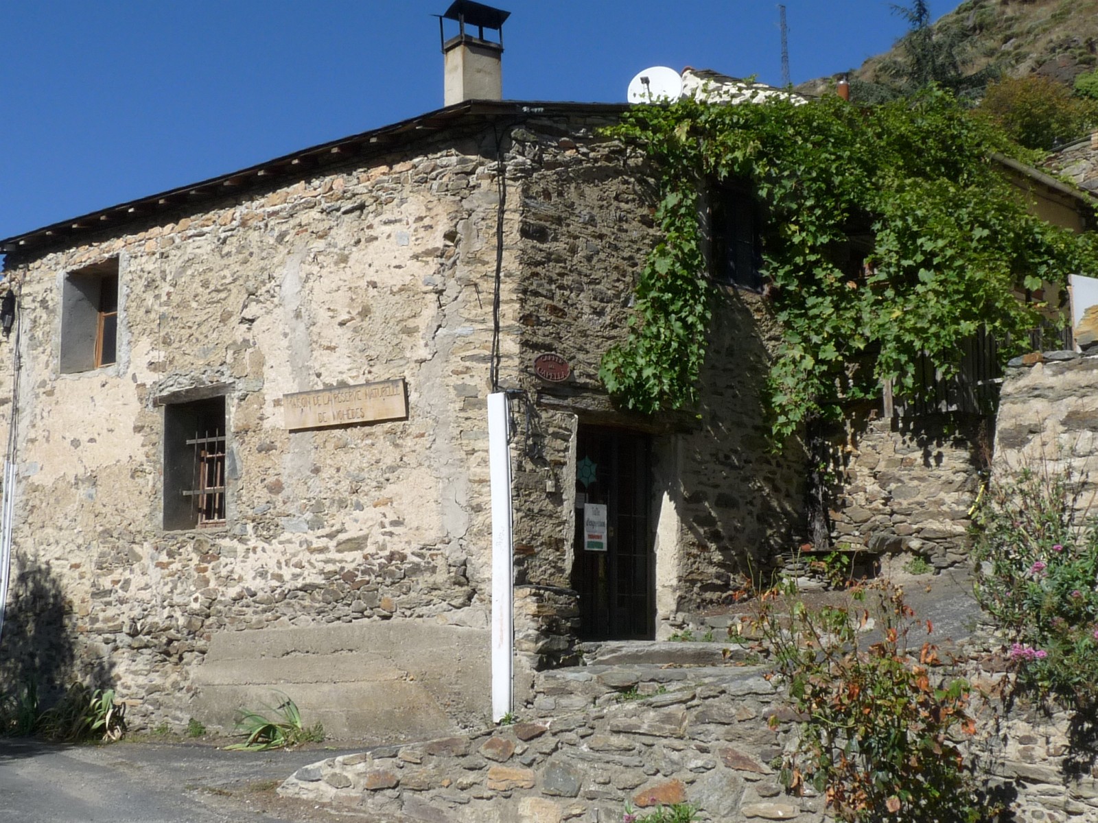
Maison de la réserve naturelle de Mantet.
Are there waymarked hiking trails in Réserve naturelle nationale de Mantet?
Yes. Waymarked hiking routes listed in OpenStreetMap: 6, including GR 10, GR 11, De la Manche aux Pyrénées and Haute Randonnée Pyrénéenne. The “Refugis del Torb” route runs for about 9 km through the site, with some 720 m of ascent on its longest section.
Which species can be seen in Réserve naturelle nationale de Mantet?
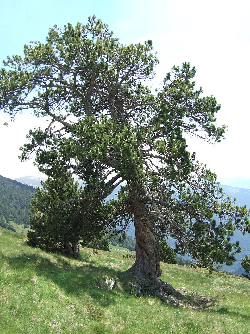
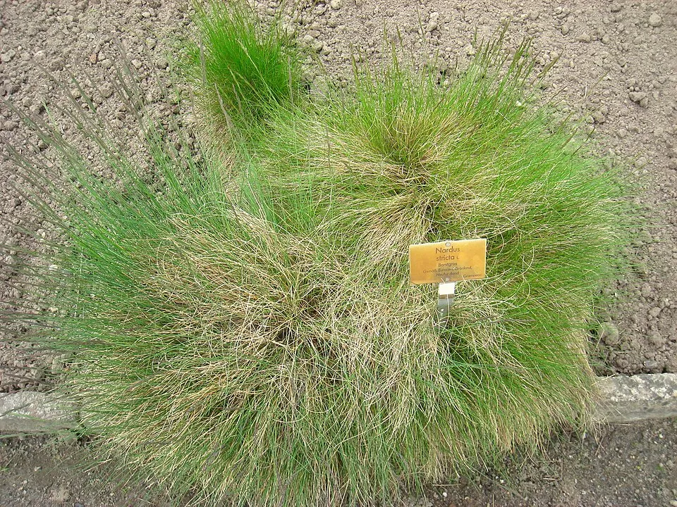
Among the species most often recorded on GBIF are Pinus uncinata (Mountain Pine), Trifolium alpinum (Alpine clover), Calluna vulgaris (Scottish Heather) and Nardus stricta (Mat-grass).
© OpenStreetMap
Download the boundary: GeoJSON · GPX Boundary © OpenStreetMap contributors (ODbL).
Geography
The representative point of the site lies at around 2,031 m above sea level. Over the 1996–2025 period, the mean annual temperature is about 4.9 °C and total precipitation reaches roughly 1,118 mm per year. The warmest month is usually July, the coolest January, and the wettest May. According to the BRGM's simplified lithological map, the bedrock consists mainly of gneiss (93% of sampled points). These are mostly metamorphic rocks.
Area
- Area
- 3,028 ha
- Elevation
- 2,031 m
- Median elevation
- 2,198 m
- Mean slope
- 20°
- Snow cover
- ≈ 120 days a year
- Coordinates
- 42.454, 2.2919
Terrain: Mapzen Terrain Tiles (SRTM, USGS)
Elevation bands
- 1,500–2,000 m 29%
- 2,000–2,500 m 68%
- 2,500–3,000 m 3%
share of the site in each elevation band (smoothed terrain model: summits are rounded off) · Terrain: Mapzen Terrain Tiles (SRTM, USGS)
Bedrock
- Gneiss 93 %
- Granites 7 %
Metamorphic rocks 93 % · Igneous rocks 7 %
Source: BRGM, simplified lithological map at 1:1,000,000 (Licence Ouverte), 15 points sampled within the boundary.
Main summits
- Pic de la Dona2,702 m
- Pedró de la Serra2,694 m
- Pic de Bacivers2,691 m
- Pic de la Serre Gallinière2,663 m
- Roc Colom2,506 m
- Puig de la Llosa2,504 m
- Puig de Coma Ermada2,496 m
- Roc de la Mort de l'Escolà2,462 m
- Cime de Pomarole2,457 m
- Roques Blanques2,456 m
Data © OpenStreetMap contributors (ODbL)
Climate
● Mean temperature (°C) · ▮ Precipitation (mm)
Source: Copernicus ERA5-Land (C3S, doi:10.24381/cds.68d2bb30), monthly averages 1996–2025 interpolated to the representative point, temperatures adjusted for elevation.
Contains modified Copernicus Climate Change Service information 2026. Neither the European Commission nor ECMWF is responsible for any use that may be made of the Copernicus information or data it contains.
Snow cover measured by satellite
J
F
M
A
M
J
J
A
S
O
N
D
average share of the site under snow · snowiest parts · ≈ 120 days a year
Snow cover: MODIS/Terra MOD10CM v61 (Hall & Riggs, 2021, NASA NSIDC DAAC, doi:10.5067/MODIS/MOD10CM.061), imagery from NASA GIBS (ESDIS); 2015–2025 average, grid of about 5 km.
Natural habitats
According to CORINE Land Cover (2018), the site is mainly made up of grassland and meadows (42%), forests (29%) and heath and scrub (16%). Woodland is mostly coniferous. Elevation ranges from about 1,530 m to 2,702 m (highest point: Pic de la Dona). Median elevation is 2,198 m, and 70% of the site lies above 2,000 m (SRTM elevation model). The terrain is steep: 16% of slopes exceed 30° (mean slope 20°). The 2 Natura 2000 sites overlapping the area list 17 habitats of European interest (4 priority), the most extensive being mountain Cytisus purgans formations, subalpine and montane Pinus uncinata forests (* if on gypsum or limestone) and Alpine and Boreal heaths.
Biodiversity
Based on occurrences aggregated by GBIF, several species are regularly recorded within the site. Among the most frequent are Pinus uncinata (Mountain Pine), Trifolium alpinum (Alpine clover), Calluna vulgaris (Scottish Heather) and Nardus stricta (Mat-grass). The full list of documented taxa is shown below. The overlapping Natura 2000 sites list 32 species of European interest: 21 birds, 6 mammals and 5 invertebrates.
Habitats of European interest
From the official forms of the 2 Natura 2000 sites overlapping the area (areas reported for each whole site).
- Mountain Cytisus purgans formations 1,175 ha
- Subalpine and montane Pinus uncinata forests (* if on gypsum or limestone) 1,175 ha
- Alpine and Boreal heaths 587 ha
- Western Mediterranean and thermophilous scree 352 ha
- Species-rich Nardus grasslands, on silicious substrates in mountain areas (and submountain areas in Continental Europe) priority 235 ha
- Siliceous scree of the montane to snow levels (Androsacetalia alpinae and Galeopsietalia ladani) 235 ha
- Juniperus communis formations on heaths or calcareous grasslands 117 ha
- Hydrophilous tall herb fringe communities of plains and of the montane to alpine levels 117 ha
and 9 more
Species of European interest
Birds · 21
Boreal Owl (Aegolius funereus) resident, Golden Eagle (Aquila chrysaetos) resident, Eurasian Eagle-owl (Bubo bubo) resident, European Nightjar (Caprimulgus europaeus) breeding passage, Short-toed Snake Eagle (Circaetus gallicus) breeding passage, Black Woodpecker (Dryocopus martius) resident, Ortolan Bunting (Emberiza hortulana) breeding passage, Eurasian dotterel (Eudromias morinellus) passage, Peregrine Falcon (Falco peregrinus) resident passage, Bearded vulture (Gypaetus barbatus) resident, Griffon Vulture (Gyps fulvus) passage, Booted Eagle (Hieraaetus pennatus) breeding and 9 more
Mammals · 6
Pyrenean desman (Galemys pyrenaicus), Common bent-wing bat (Miniopterus schreibersii), Lesser mouse-eared myotis (Myotis blythii), Greater mouse-eared bat (Myotis myotis), Greater Horseshoe Bat (Rhinolophus ferrumequinum), Lesser horseshoe bat (Rhinolophus hipposideros)
Invertebrates · 5
Greater Capricorn Beetle (Cerambyx cerdo), Eastern Eggar (Eriogaster catax), Marsh fritillary (Euphydryas aurinia), Stag beetle (Lucanus cervus), Rosalia longicorn (Rosalia alpina)
Source: Natura 2000 standard data forms (EEA, CC-BY 4.0). Not exhaustive: sensitive species are not published.
Species to look out for



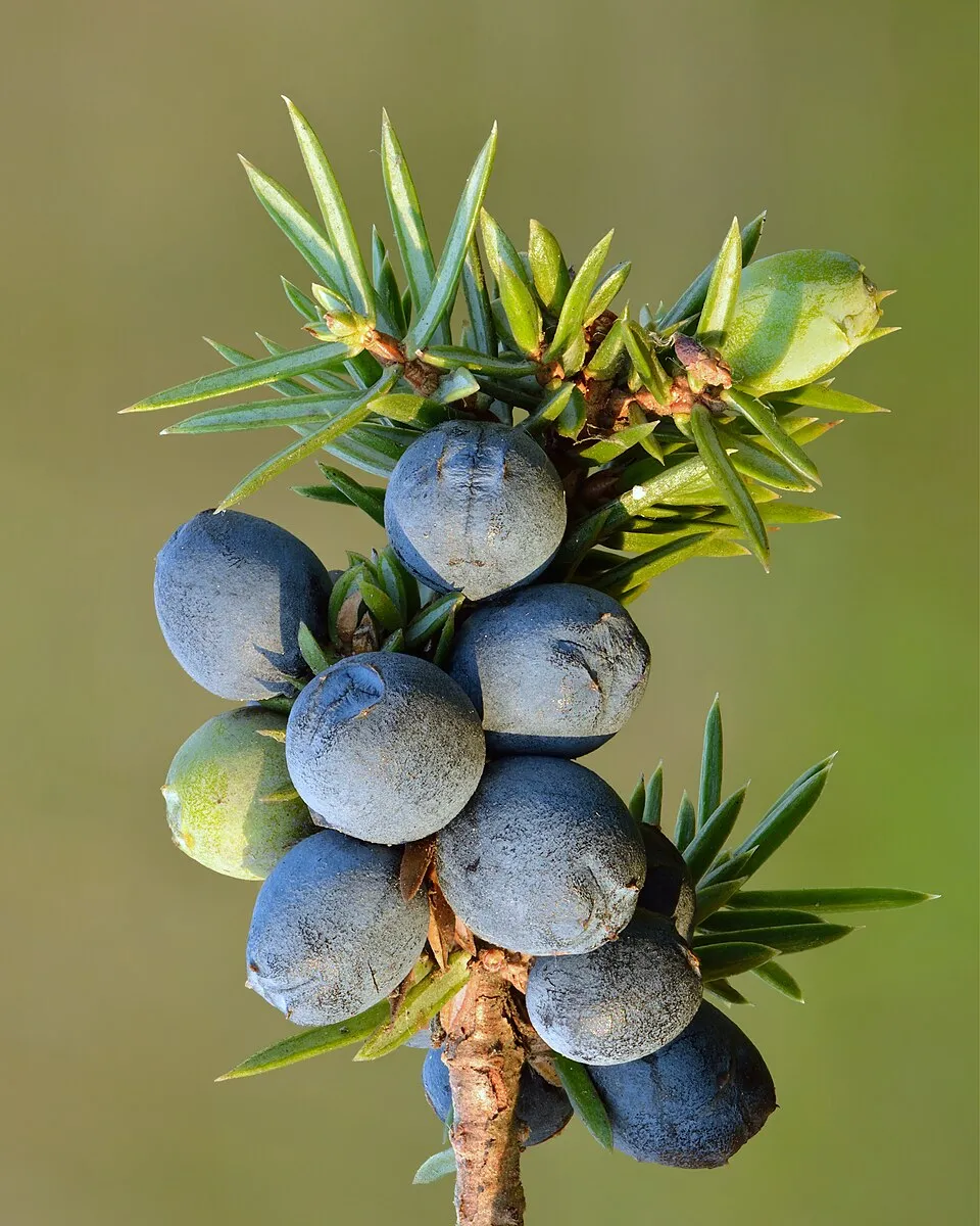
Observed species
Occurrences documented via GBIF; they are neither an exhaustive inventory nor proof of current presence.
- Mountain Pine · Pinus uncinata · 966
- Alpine clover · Trifolium alpinum · 803
- Scottish Heather · Calluna vulgaris · 776
- Mat-grass · Nardus stricta · 760
- Alpenrose · Rhododendron ferrugineum · 694
- Common Juniper · Juniperus communis · 670
- Tufted fescue · Festuca airoides · 603
- Festuca eskia · 577
- Coal tit · Periparus ater · 534
- Pyrenean broom · Cytisus oromediterraneus · 488
- Bilberry · Vaccinium myrtillus · 477
- Mistle Thrush · Turdus viscivorus · 414
+18 more species
- Dwarf Sheep's-bit · Jasione crispa · 398
- Eurasian Chaffinch · Fringilla coelebs · 351
- Lady's Bedstraw · Galium verum · 306
- Vaccinium gaultherioides · 303
- Festuca prudhommei · 297
- Trailing azalea · Kalmia procumbens · 280
- Highland rush · Oreojuncus trifidus · 265
- Alchemilla saxatilis · 260
- Wavy hairgrass · Avenella flexuosa · 259
- Red Crossbill · Loxia curvirostra · 259
- Citril Finch · Carduelis citrinella · 256
- Griffon Vulture · Gyps fulvus · 242
- Globe-headed Rampion · Phyteuma hemisphaericum · 233
- Common Sedge · Carex nigra · 231
- Alpine bluegrass · Poa alpina · 220
- Mountain House-leek · Sempervivum montanum · 216
- European Crested Tit · Lophophanes cristatus · 210
- Spiky Fescue · Festuca gautieri · 204
Records: GBIF.org (CC-BY). Names: Wikidata (CC0), GBIF. Photos: Wikimedia Commons.
Conservation challenges
The primary purpose of the site is to preserve its natural habitats and the biodiversity they support. The species recorded (Biodiversity tab) reflect its ecological value. The designations it holds frame its management and the control of land use.
According to CORINE Land Cover, land cover here remained almost unchanged between 1990 and 2018 (less than 0.5% of the area affected). Since 2016, the European EFFIS system (Copernicus) has mapped one fire here, in January 2022 (near Mantet), which burned about 11 ha of the site. At night, the area gives off virtually no artificial light detectable from space (NASA VIIRS Black Marble composite, 2016). According to the Natura 2000 forms, of 17 assessed habitats of European interest, 8 are in excellent condition and 2 in average or reduced condition. According to the Water Framework Directive assessment (2022 river basin management plans, data 2015–2017), the only river assessed within the site has good ecological status. Invasive alien species have been recorded within the site since 2000 (GBIF observations), one of them listed as of Union concern. Among them: Mustela vison (American mink) and Matricaria discoidea (Pineappleweed).
Pressure indicators
Tree cover lost
2 ha
2001–2023 · < 1% of the area
20012023
Fires since 2016
11 ha
burned within the boundary (1 mapped fire)
- 2022 · Mantet · 11 ha
Light at night
0%
of the area gives off artificial light visible from space
DarkLit
Land cover change
< 0.5%
of the area changed, 1990–2018 · CORINE
Rivers and lakes
100%
of the 12 km of assessed rivers in good or high ecological status · WFD 2022
assessments 2015–2017
Invasive alien species
2
incl. 1 of EU concern · since 2000
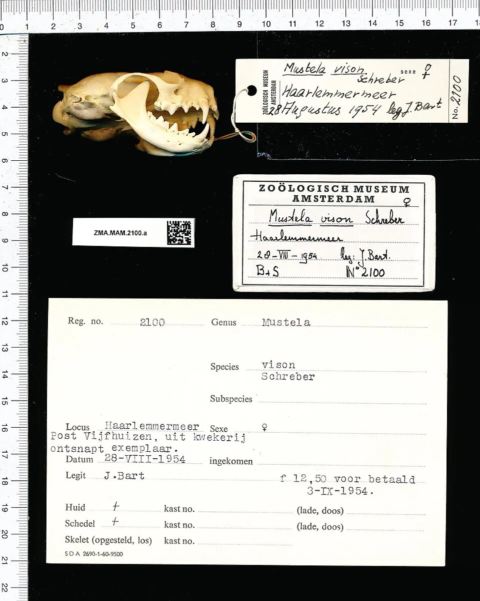 American minkEU
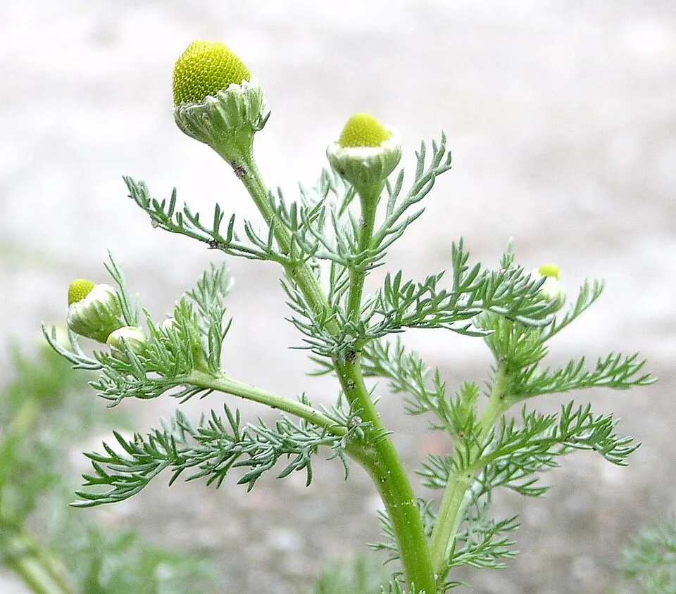 Pineappleweed
Photos: American mink © Schreber · CC0-1.0; Pineappleweed © Krzysztof Ziarnek · CC BY-SA 3.0
Sources: Global Forest Change (Hansen et al., University of Maryland, via Global Forest Watch, CC-BY 4.0); EFFIS, European Commission / Copernicus; NASA Black Marble 2016 (public domain); CORINE Land Cover 2018 (Copernicus) or MODIS.
CORINE Land Cover Change 1990–2018: generated using European Union's Copernicus Land Monitoring Service information (EEA), aggregated by Parkavela; DOI 10.2909/f30f1000-7cf8-43bb-872c-5eb093911b24.
Ecological status of water bodies: European Environment Agency, WISE – Water Framework Directive, 3rd river basin management plans (2022), CC BY 4.0. Official national classification, not comparable between countries.
Invasive alien species: Global Register of Introduced and Invasive Species (ISSG, CC BY 4.0); Union list, Regulation (EU) 1143/2014 (INBO, CC0); GBIF.org records (CC0 / CC BY 4.0), at least 2 per species.
Practical information
Cities and airport
- Perpignan
53 km as the crow flies - Vic
55 km as the crow flies - Airport: Perpignan–Rivesaltes (PGF)
54 km as the crow flies
Visitor information
- Maison de la réserve naturelle de Mantet
< 1 km from the site boundary
Where to stay
2 mountain huts
- Refuge de l'Alemany
Unstaffed hut · 1,968 m - Refugio de pastor
Staffed hut
Hiking
6 waymarked routes listed, including:
GR 10GR 11De la Manche aux PyrénéesHaute Randonnée PyrénéenneLa Volta a peu al RipollésRefugis del Torb
Data © OpenStreetMap contributors (ODbL) · Wikidata (CC0)
Waymarked hiking routes
De la Manche aux Pyrénées 24, Sournia - Bourg-Madame
4.5 km within the site ↗ 724 m↘ 42 m 1,620–2,348 m
GR 10 La traversée des Pyrénées - sec.2
4.6 km within the site ↗ 724 m↘ 42 m 1,620–2,348 m
GR 11.6 Variant Molló
3.4 km within the site ↗ 76 m↘ 116 m 2,368–2,436 m
up to T2 · mountain hiking
HRP HRP Étape 36
4.1 km within the site ↗ 96 m↘ 73 m 2,368–2,416 m
up to T2 · mountain hiking
La Volta a peu al Ripollés
3.5 km within the site ↗ 114 m↘ 73 m 2,367–2,436 m
up to T2 · mountain hiking
Tracks © OpenStreetMap contributors (ODbL), clipped to the boundary; elevation gain and profiles computed on the longest section from Mapzen Terrain Tiles (≈ 30 m), indicative only. Indicative difficulty (SAC scale, OpenStreetMap, via Waymarked Trails): check with the park.
Access and visiting
The nearest railway station is Thuès-les-Bains, about 6 km from the site boundary. Nearest towns of over 50,000 people, as the crow flies: Perpignan (53 km) and Vic (55 km). Nearest airport: Perpignan–Rivesaltes (PGF), about 54 km away. About 32,000 people live within 20 km of the site boundary, 3,300 of them within 10 km; the site itself is virtually uninhabited (GHSL estimate, 2020). This population has grown by about 16% since 2000. Visitor information on site: Maison de la réserve naturelle de Mantet. Waymarked hiking routes listed in OpenStreetMap: 6, including GR 10, GR 11, De la Manche aux Pyrénées and Haute Randonnée Pyrénéenne. Where to stay: 2 mountain huts, including Refuge de l'Alemany (1,968 m) and Refugio de pastor. To plan a visit (access, opening periods, visitor rules), it is best to consult the official information from the managing body and the official website listed in this page's sources.
Source: OpenStreetMap (ODbL), Wikidata (CC0), October 2026.
When to visit
Mildest period: July and August, with average temperatures of 13 to 14 °C. Average temperatures drop below 0 °C from December to February: frost is common. Precipitation peaks in May (up to 140 mm per month). These averages apply to the site's representative point (2,031 m); higher up it is markedly cooler and snow lasts longer. According to NASA's MODIS satellites (2015–2025 average), snow covers most of the site from December to April, with about 120 snow-covered days a year on average. Day length ranges from about 9 h 05 min in December to 15 h 16 min in June. Wildlife records published on GBIF peak for birds (June), plants (July), butterflies and moths (July) and mammals (September). These peaks also reflect when observers are most active.
Source: Copernicus ERA5-Land (C3S), monthly averages 1996–2025 at the representative point, temperatures adjusted for elevation.
Contains modified Copernicus Climate Change Service information 2026. Neither the European Commission nor ECMWF is responsible for any use that may be made of the Copernicus information or data it contains.
Wildlife records calendar
JFMAMJJASOND
Birds
Plants
Butterflies & moths
Mammals
Monthly records published on GBIF (CC-BY), relative to the busiest month; also reflects observer activity.
Gallery
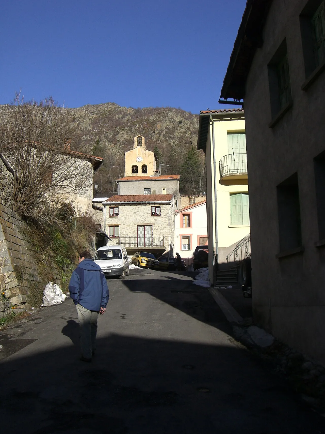
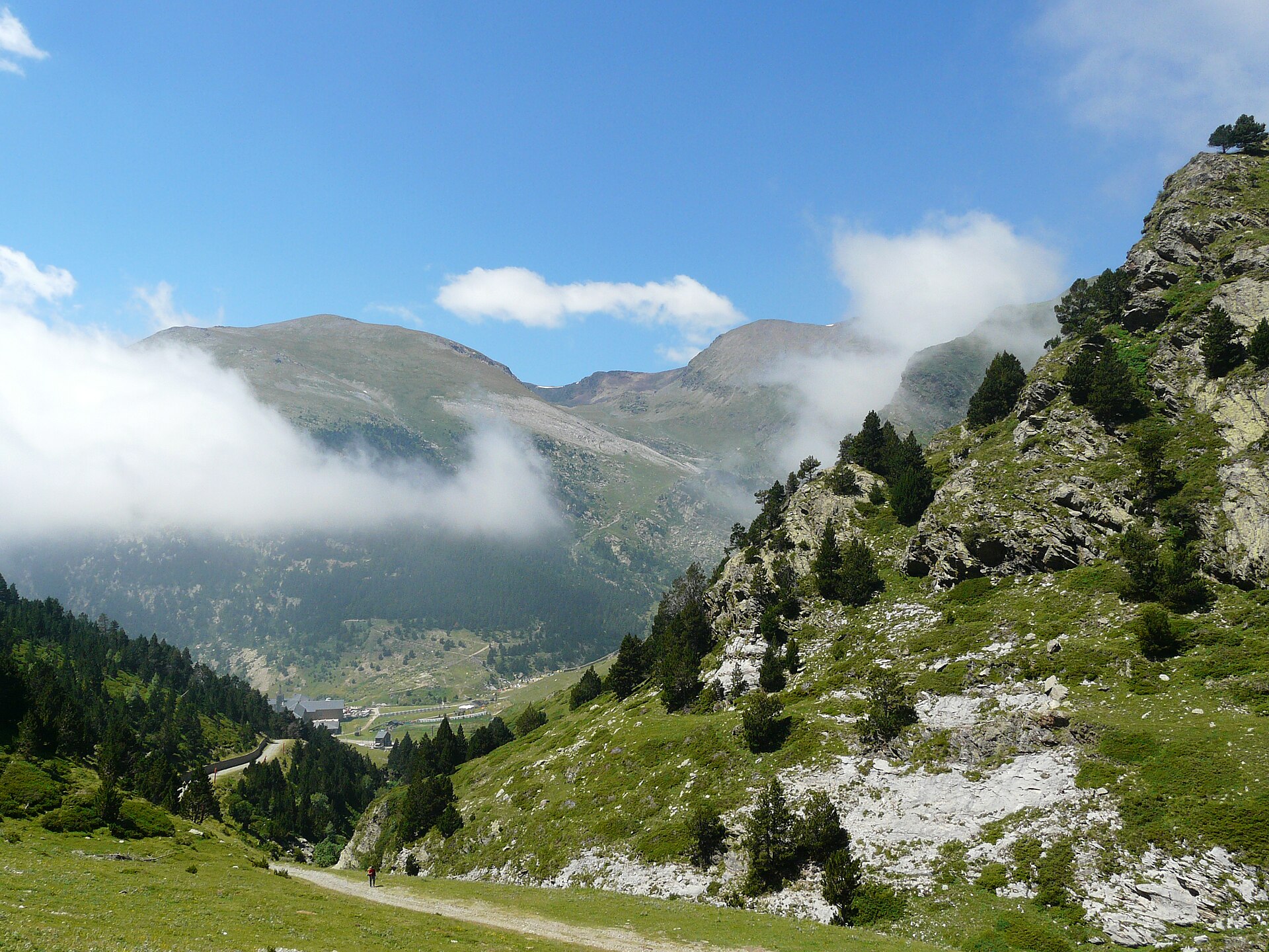
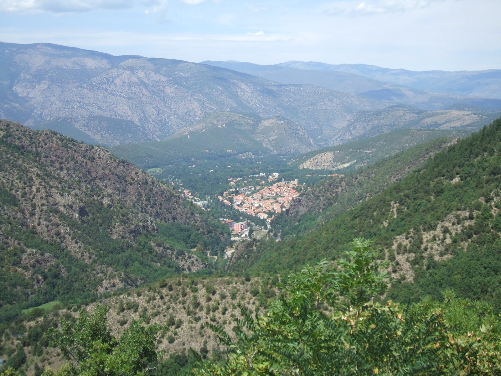
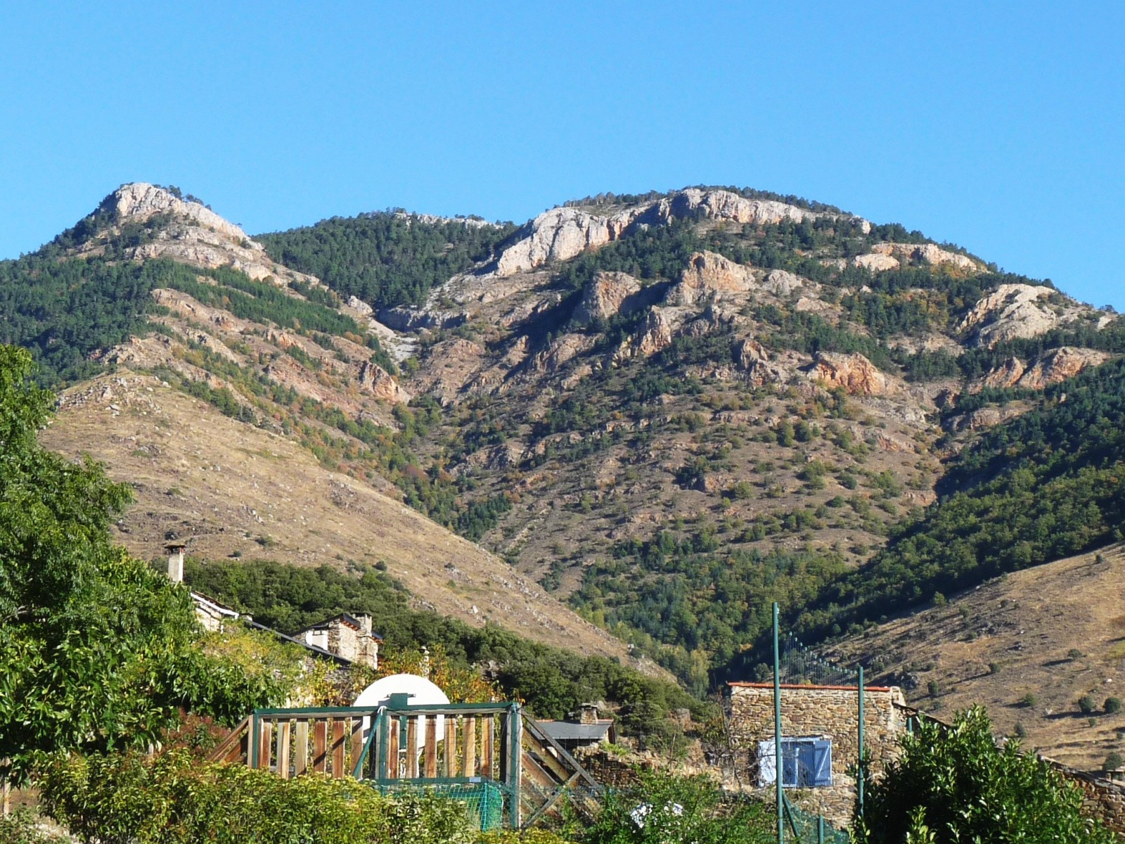
© Alan Mattingly · CC BY-SA 4.0
© Alan Mattingly · CC BY-SA 4.0
© josepcurto / Magnific
© agnvisuals1 / Magnific
Sources and licences
- Wikidata: Q15427761
- OpenStreetMap: relation 1023766
- Wikipedia: fr.wikipedia.org/wiki/Réserve_naturelle_nationale_de_Mantet
- WDPA: 18996
References
- cds.climate.copernicus.eu: climate · CC-BY-4.0
- registry.opendata.aws: elevation of the reference point, detailed relief · PD
- land.copernicus.eu: land cover, land cover change, sea share · COPERNICUS
- doi.org: population around the site · CC-BY-4.0
- wikidata.org: official area, establishment date, official name, nearby cities and airport, access and peaks, lake depths, places to see · CC0-1.0
- eea.europa.eu: bathing water quality, ecological status of waters · CC-BY-4.0
- en.eurovelo.com: EuroVelo cycle routes · ODbL-1.0
- cycling.waymarkedtrails.org: cycle routes · ODbL-1.0
- opentopodata.org: elevations · PD
- forest-fire.emergency.copernicus.eu: wildfires · COPERNICUS
- globalforestwatch.org: tree cover loss · CC-BY-4.0
- gbif.org: seasonality of sightings, invasive alien species, observed species · CC-BY-4.0
- infoterre.brgm.fr: geology · LO-2.0
- pop.culture.gouv.fr: protected heritage · LO-2.0
- hydrosheds.org: lakes · CC-BY-4.0
- natura2000.eea.europa.eu: Natura 2000 habitats and species · CC-BY-4.0
- earthobservatory.nasa.gov: night light · PD
- openstreetmap.org: access and peaks, places to see · ODbL-1.0
- hiking.waymarkedtrails.org: route difficulty · ODbL-1.0
- nsidc.org: snow cover · PD
- wikidata.org: Wikipedia article · CC-BY-SA-4.0
Data © OpenStreetMap contributors (ODbL), Wikidata (CC0) and the sources cited.