Canada · Terrestrial
Riding Mountain National Park
National park of 296,770 hectares in Canada, established in 1930.
Overview
National park of 296,770 hectares in Canada, established in 1930.
Riding Mountain National Park is located in Canada (North America). It is a predominantly terrestrial area. Established on 30 May 1930, it covers about 296,770 hectares. The site is managed by Parks Canada.
Protections and designations
UNESCO Biosphere Reserve
Protected as a national park. International labels and designations: UNESCO Biosphere Reserve (“Riding Mountain Biosphere Reserve”). Key dates: established in 1930 and Biosphere Reserve in 1986.
In our collections
Timeline
-
1930
Established
-
1986
UNESCO Biosphere Reserve Riding Mountain Biosphere Reserve
Sources: Wikidata (CC0) for establishment and international labels; EEA Natura 2000 database (CC-BY 4.0) for site designation dates.
Frequently asked questions
Where is Riding Mountain National Park?
In Canada (North America). Representative point: 50.8639° N, 100.0360° W.
How large is Riding Mountain National Park?
About 296,770 hectares (2,968 km²). It is the 21st largest of the 47 national parks in Canada covered by Parkavela.
When was Riding Mountain National Park established?
On 30 May 1930.
What habitats and landscapes does Riding Mountain National Park include?
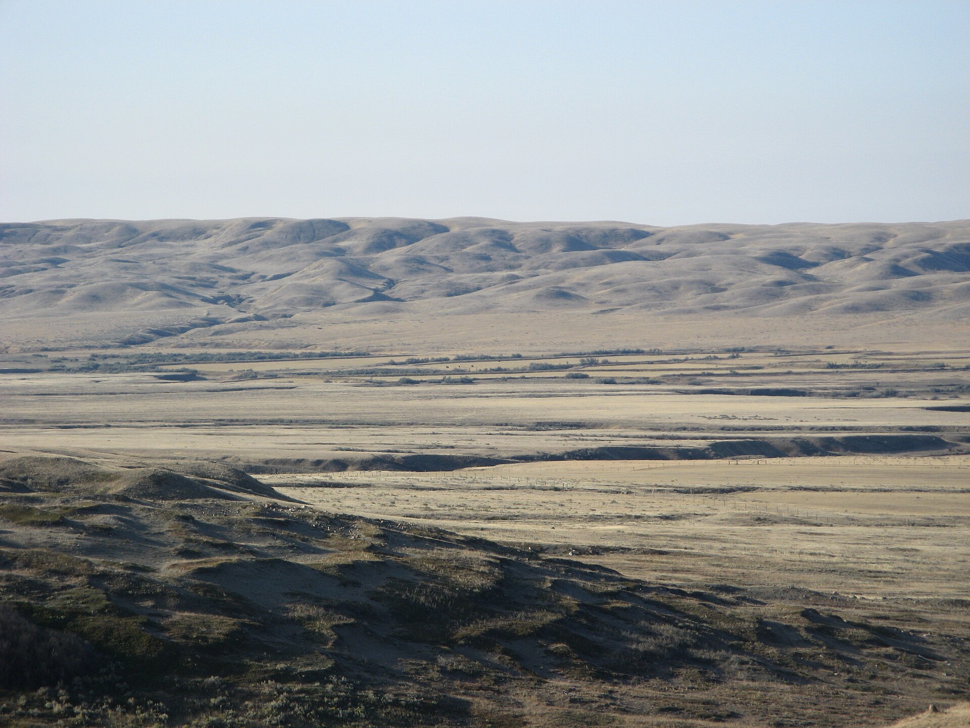
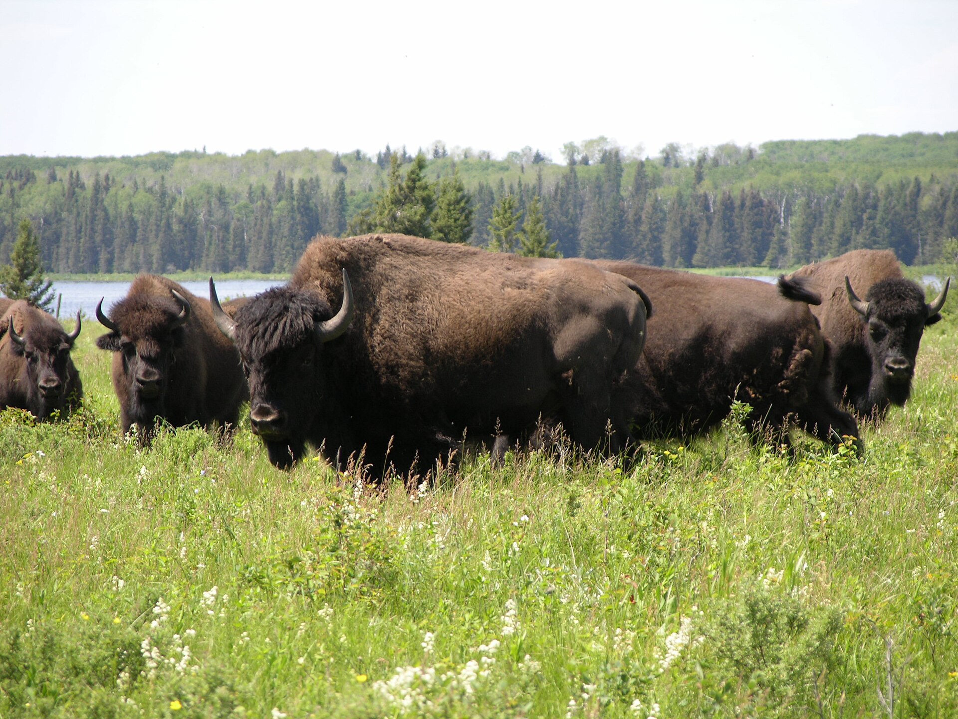
A terrestrial area, with forests.
Which international labels apply to Riding Mountain National Park?
UNESCO Biosphere Reserve (“Riding Mountain Biosphere Reserve”).
When is the best time to visit Riding Mountain National Park?
Mildest period: July and August, with average temperatures of 17 to 18 °C.
Is there snow in Riding Mountain National Park?
Yes. According to NASA's MODIS satellites (2015–2025 average), snow covers most of the site from November to March, and until April on higher ground, with about 155 snow-covered days a year on average.
What is there to see in Riding Mountain National Park?
88 lakes and ponds, including Cripple Lake, Cripps Lake, Cristy Lake and Carson Lake (Wikidata).
Are there historic monuments in Riding Mountain National Park?
Yes. According to Wikidata, one monument designated National Historic Sites of Canada stands within the boundary. For example: “Riding Mountain Park East Gate Registration Complex” in Manitoba.
What is the nearest large city to Riding Mountain National Park?
Nearest towns of over 50,000 people, as the crow flies: Brandon (77 km). Nearest airport: Winnipeg James Armstrong Richardson (YWG), about 178 km away.
How can I reach Riding Mountain National Park by train?
The nearest railway station is McCreary, about 6 km from the site boundary.
Where can I get visitor information on site?
RMNP Visitor Centre and Wasagaming Campground Kiosk.
Are there waymarked hiking trails in Riding Mountain National Park?
Yes. Waymarked hiking routes listed in OpenStreetMap: 1.
Which species can be seen in Riding Mountain National Park?
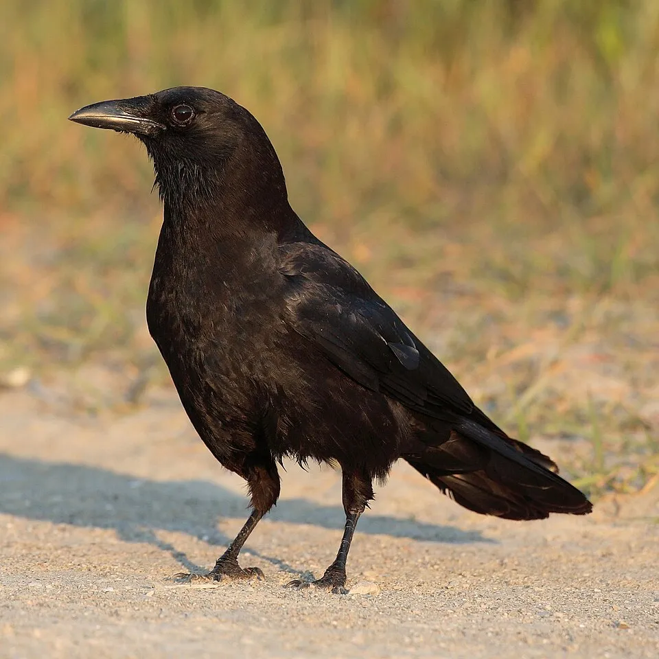
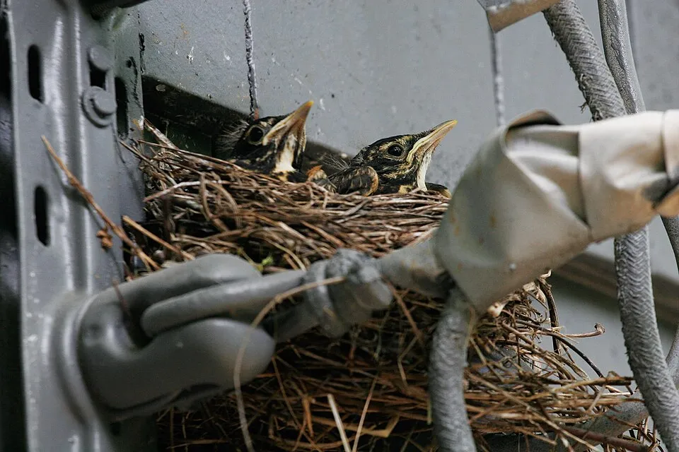
Among the species most often recorded on GBIF are Corvus brachyrhynchos (American Crow), Turdus migratorius (American Robin), Zonotrichia albicollis (White-throated Sparrow) and Corvus corax (Northern Raven).
Who manages Riding Mountain National Park?
Parks Canada.
What is the official website of Riding Mountain National Park?
© OpenStreetMap
Download the boundary: GeoJSON · GPX Boundary © OpenStreetMap contributors (ODbL).
Geography
The representative point of the site lies at around 663 m above sea level. Over the 1996–2025 period, the mean annual temperature is about 1.8 °C and total precipitation reaches roughly 658 mm per year. The warmest month is usually July, the coolest January, and the wettest June.
Area
- Area
- 296,770 ha
- Elevation
- 663 m
- Median elevation
- 607 m
- Snow cover
- ≈ 155 days a year
- Coordinates
- 50.8639, -100.036
Terrain: Mapzen Terrain Tiles (SRTM, USGS)
Climate
● Mean temperature (°C) · ▮ Precipitation (mm)
Source: Copernicus ERA5-Land (C3S, doi:10.24381/cds.68d2bb30), monthly averages 1996–2025 interpolated to the representative point, temperatures adjusted for elevation.
Contains modified Copernicus Climate Change Service information 2026. Neither the European Commission nor ECMWF is responsible for any use that may be made of the Copernicus information or data it contains.
Snow cover measured by satellite
J
F
M
A
M
J
J
A
S
O
N
D
average share of the site under snow · snowiest parts · ≈ 155 days a year
Snow cover: MODIS/Terra MOD10CM v61 (Hall & Riggs, 2021, NASA NSIDC DAAC, doi:10.5067/MODIS/MOD10CM.061), imagery from NASA GIBS (ESDIS); 2015–2025 average, grid of about 5 km.
Natural habitats
According to the global MODIS land cover (NASA, 2024), the site is mainly made up of heath and scrub (50%) and forests (48%). Woodland is mostly broadleaved. Elevation ranges from about 410 to 710 m (sampled elevations, SRTM).
Biodiversity
Based on occurrences aggregated by GBIF, several species are regularly recorded within the site. Among the most frequent are Corvus brachyrhynchos (American Crow), Turdus migratorius (American Robin), Zonotrichia albicollis (White-throated Sparrow) and Corvus corax (Northern Raven). The full list of documented taxa is shown below.
Species to look out for

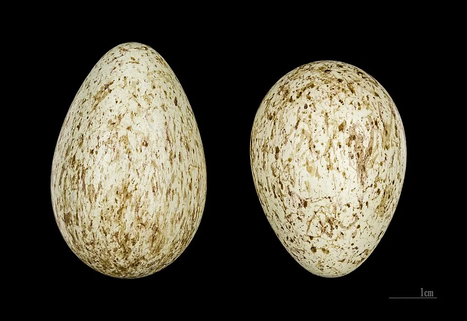
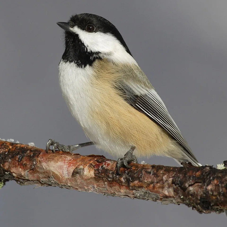
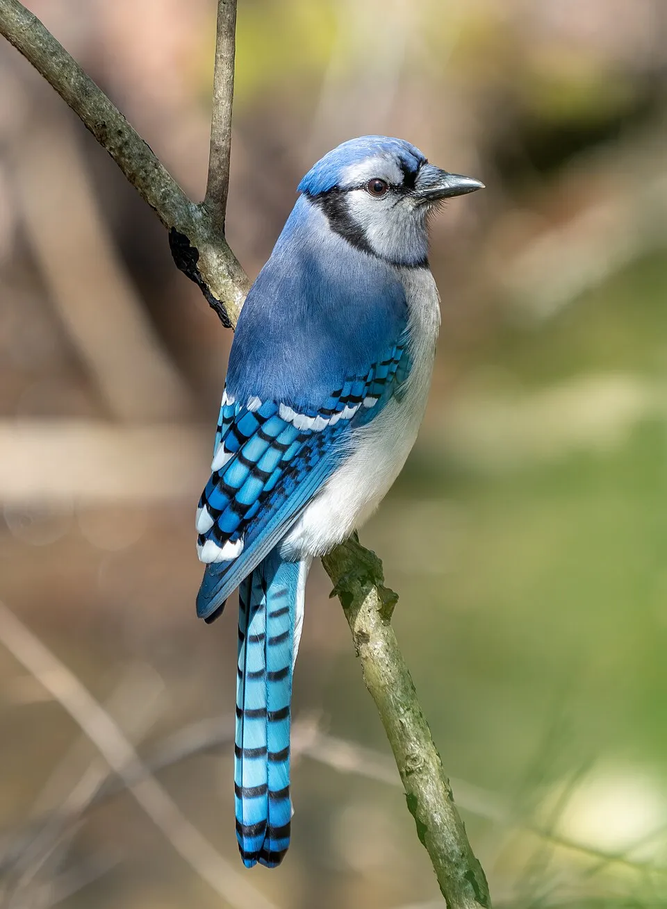
Observed species
Occurrences documented via GBIF; they are neither an exhaustive inventory nor proof of current presence.
- American Crow · Corvus brachyrhynchos · 1825
- American Robin · Turdus migratorius · 1780
- White-throated Sparrow · Zonotrichia albicollis · 1713
- Northern Raven · Corvus corax · 1671
- Black-capped Chickadee · Poecile atricapillus · 1523
- Blue Jay · Cyanocitta cristata · 1518
- Chipping Sparrow · Spizella passerina · 1518
- Common loon · Gavia immer · 1496
- Red-eyed Vireo · Vireo olivaceus · 1431
- Cosmopolitan Springtail · Entomobrya nivalis · 1305
- American Redstart · Setophaga ruticilla · 1293
- Myrtle Warbler · Setophaga coronata · 1230
+18 more species
- Red-winged Blackbird · Agelaius phoeniceus · 1172
- Song Sparrow · Melospiza melodia · 1109
- Common Yellowthroat · Geothlypis trichas · 1091
- Chestnut-sided Warbler · Setophaga pensylvanica · 1080
- Dark-eyed junco · Junco hyemalis · 1018
- Barn Swallow · Hirundo rustica · 985
- Ovenbird · Seiurus aurocapilla · 969
- Mallard · Anas platyrhynchos · 954
- Canada Goose · Branta canadensis · 944
- Cedar Waxwing · Bombycilla cedrorum · 900
- Boreal Chickadee · Poecile hudsonicus · 898
- American Goldfinch · Spinus tristis · 887
- Canada Jay · Perisoreus canadensis · 823
- Common Goldeneye · Bucephala clangula · 813
- Yellow-bellied Sapsucker · Sphyrapicus varius · 801
- Nashville Warbler · Leiothlypis ruficapilla · 762
- Blackburnian Warbler · Setophaga fusca · 746
- Ring-billed Gull · Larus delawarensis · 726
Records: GBIF.org (CC-BY). Names: Wikidata (CC0), GBIF. Photos: Wikimedia Commons.
Conservation challenges
The primary purpose of the site is to preserve its natural habitats and the biodiversity they support. The species recorded (Biodiversity tab) reflect its ecological value. The designations it holds frame its management and the control of land use.
According to Global Forest Change data (University of Maryland, Global Forest Watch), about 1,440 ha of tree cover were lost within the boundary between 2001 and 2023 (under 1% of its area), peaking in 2012 and 2013. These losses include logging, storms and fires, and do not account for regrowth. At night, the area gives off virtually no artificial light detectable from space (NASA VIIRS Black Marble composite, 2016). Since 2000, 20 invasive alien species have been recorded within the site (GBIF observations). Among them: Esox lucius (Pike), Cirsium arvense (Creeping Thistle) and Taraxacum officinale (Common dandelion).
Pressure indicators
Tree cover lost
1,435 ha
2001–2023 · < 1% of the area
20012023
Light at night
< 1%
of the area gives off artificial light visible from space
DarkLit
Invasive alien species
20
recorded since 2000
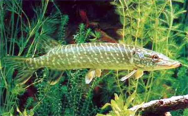 Pike
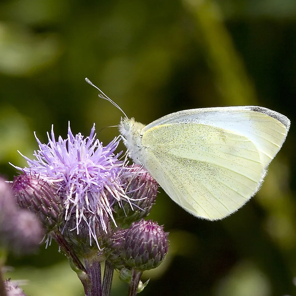 Creeping Thistle
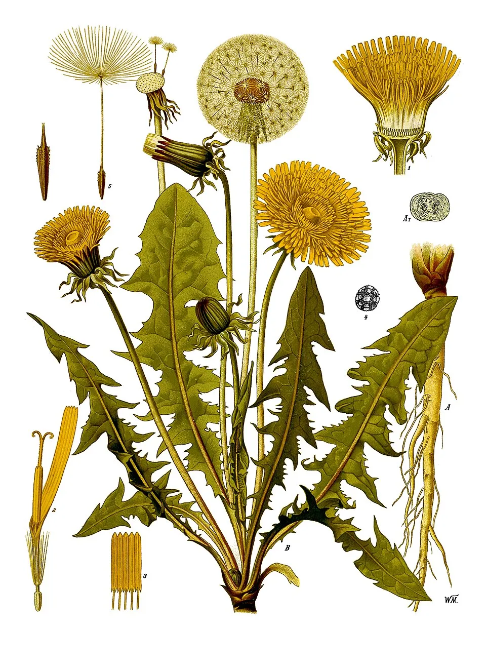 Common dandelion
 Wormwood
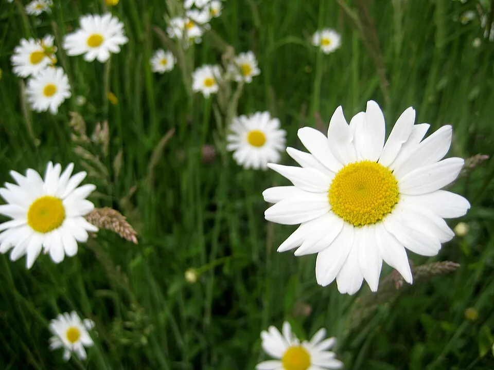 Oxeye daisy
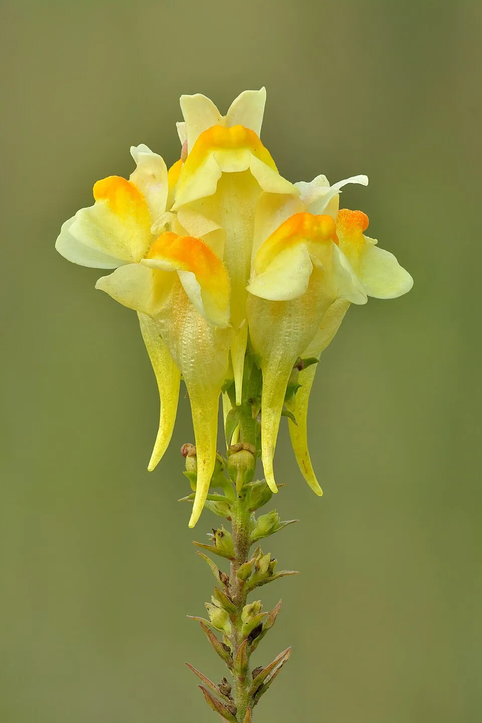 Common Toadflax
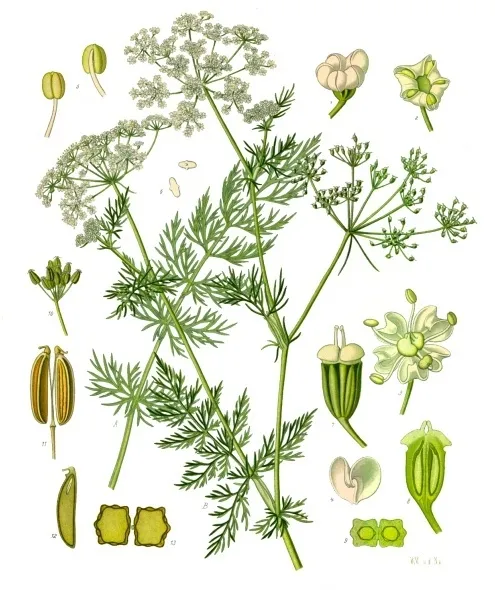 Caraway
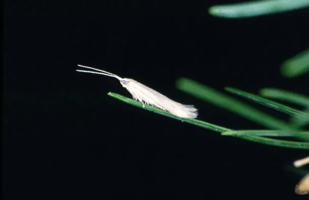 Larch case-bearer
Photos: Pike © Togabi · CC BY-SA 3.0; Creeping Thistle © Olaf Leillinger · CC BY-SA 3.0; Common dandelion © Walther Otto Müller · Public domain; Wormwood © David Monniaux · CC BY-SA 3.0; Oxeye daisy © Lupus in Saxonia · CC BY-SA 4.0; Common Toadflax © Ivar Leidus · CC BY-SA 4.0; Caraway © Franz Eugen Köhler, Köhler's Medizinal-Pflanzen · Public domain; Larch case-bearer © Andrea Battisti, Università di Padova, Italy · CC BY 3.0
Sources: Global Forest Change (Hansen et al., University of Maryland, via Global Forest Watch, CC-BY 4.0); EFFIS, European Commission / Copernicus; NASA Black Marble 2016 (public domain); CORINE Land Cover 2018 (Copernicus) or MODIS.
Invasive alien species: Global Register of Introduced and Invasive Species (ISSG, CC BY 4.0); Union list, Regulation (EU) 1143/2014 (INBO, CC0); GBIF.org records (CC0 / CC BY 4.0), at least 2 per species.
Practical information
Cities and airport
- Brandon
75 km as the crow flies - Airport: Winnipeg James Armstrong Richardson (YWG)
178 km as the crow flies
Visitor information
- RMNP Visitor Centre
within the site - Wasagaming Campground Kiosk
within the site
Parking
36 public car parks listed within the site · 14 trailheads
Bead LakesP3P1P4
Things to see
88 lakes and ponds
- Cripple Lake
lake or pond - Cripps Lake
lake or pond - Cristy Lake
lake or pond - Carson Lake
lake or pond - Apple Lake
lake or pond
Hiking
1 waymarked routes listed
Wheelchair access
- East Gate Connector
path - East Gate Parking Access
path
accessible toilets: 22
Reported by OpenStreetMap contributors (ODbL); check with the park before visiting.
Data © OpenStreetMap contributors (ODbL) · Wikidata (CC0)
Waymarked hiking routes
Tracks © OpenStreetMap contributors (ODbL), clipped to the boundary; elevation gain and profiles computed on the longest section from Mapzen Terrain Tiles (≈ 30 m), indicative only.
Access and visiting
The nearest railway station is McCreary, about 6 km from the site boundary. Nearest towns of over 50,000 people, as the crow flies: Brandon (77 km). Nearest airport: Winnipeg James Armstrong Richardson (YWG), about 178 km away. About 27,000 people live within 20 km of the site boundary, 5,000 of them within 10 km; some 280 people are estimated to live inside (GHSL estimate, 2020). This population has grown by about 6% since 2000. Visitor information on site: RMNP Visitor Centre and Wasagaming Campground Kiosk. Public car parks listed within the site: 36, including Bead Lakes, P3 and P1. Waymarked hiking routes listed in OpenStreetMap: 1. OpenStreetMap contributors list 2 wheelchair-accessible places: East Gate Connector and East Gate Parking Access; check with the park before visiting. To see: 88 lakes and ponds, including Cripple Lake, Cripps Lake, Cristy Lake and Carson Lake. To plan a visit (access, opening periods, visitor rules), it is best to consult the official information from the managing body (Parks Canada) and the official website listed in this page's sources.
Source: OpenStreetMap (ODbL), Wikidata (CC0), October 2026.
Built heritage
According to Wikidata, one monument designated National Historic Sites of Canada stands within the boundary. It is “Riding Mountain Park East Gate Registration Complex” in Manitoba.
Source: Wikidata (CC0), monuments in each country’s official heritage protection registers, at national or regional level. Each item links to its Wikidata entry.
When to visit
Mildest period: July and August, with average temperatures of 17 to 18 °C. Average temperatures drop below 0 °C from November to March: frost is common. Precipitation peaks in June (up to 110 mm per month). According to NASA's MODIS satellites (2015–2025 average), snow covers most of the site from November to March, and until April on higher ground, with about 155 snow-covered days a year on average. Day length ranges from about 7 h 57 min in December to 16 h 29 min in June. Wildlife records published on GBIF peak for birds (June), plants (from June to August), butterflies and moths (July), dragonflies (July) and mammals (May and June). These peaks also reflect when observers are most active.
Source: Copernicus ERA5-Land (C3S), monthly averages 1996–2025 at the representative point, temperatures adjusted for elevation.
Contains modified Copernicus Climate Change Service information 2026. Neither the European Commission nor ECMWF is responsible for any use that may be made of the Copernicus information or data it contains.
Wildlife records calendar
JFMAMJJASOND
Birds
Plants
Butterflies & moths
Dragonflies
Mammals
Monthly records published on GBIF (CC-BY), relative to the busiest month; also reflects observer activity.
Gallery
© Norm Andreiw · CC BY 3.0
© Jamie B. from USA · CC BY 2.0
© Norm Andreiw · CC BY 3.0
© Intermedichbo · CC BY-SA 4.0
© Green slash · CC BY-SA 3.0
© JPark99 · Public domain
Sources and licences
- Wikidata: Q795190
- OpenStreetMap: relation 14488240
- Official website: http://www.pc.gc.ca/fra/pn-np/mb/riding/index.aspx
- Wikipedia: en.wikipedia.org/wiki/Riding_Mountain_National_Park
- WDPA: 618
References
- cds.climate.copernicus.eu: climate · CC-BY-4.0
- registry.opendata.aws: elevation of the reference point · PD
- lpdaac.usgs.gov: land cover · PD
- doi.org: population around the site · CC-BY-4.0
- naturalearthdata.com: sea share · PD
- wikidata.org: official area, establishment date, protected heritage, managing body, nearby cities and airport, access and peaks, lake depths, places to see, official website · CC0-1.0
- en.eurovelo.com: EuroVelo cycle routes · ODbL-1.0
- cycling.waymarkedtrails.org: cycle routes · ODbL-1.0
- opentopodata.org: elevations · PD
- globalforestwatch.org: tree cover loss · CC-BY-4.0
- gbif.org: seasonality of sightings, invasive alien species, observed species · CC-BY-4.0
- openstreetmap.org: official name, access and peaks, trail difficulty, wheelchair access · ODbL-1.0
- earthobservatory.nasa.gov: night light · PD
- registry.opendata.aws: detailed relief · OGL-CA
- hiking.waymarkedtrails.org: route difficulty · ODbL-1.0
- nsidc.org: snow cover · PD
- wikidata.org: Wikipedia article · CC-BY-SA-4.0
Data © OpenStreetMap contributors (ODbL), Wikidata (CC0) and the sources cited.