Netherlands · Terrestrial
Saba National Marine Park
National park of 700 hectares in the Netherlands, established in 1987.
Overview
National park of 700 hectares in the Netherlands, established in 1987.
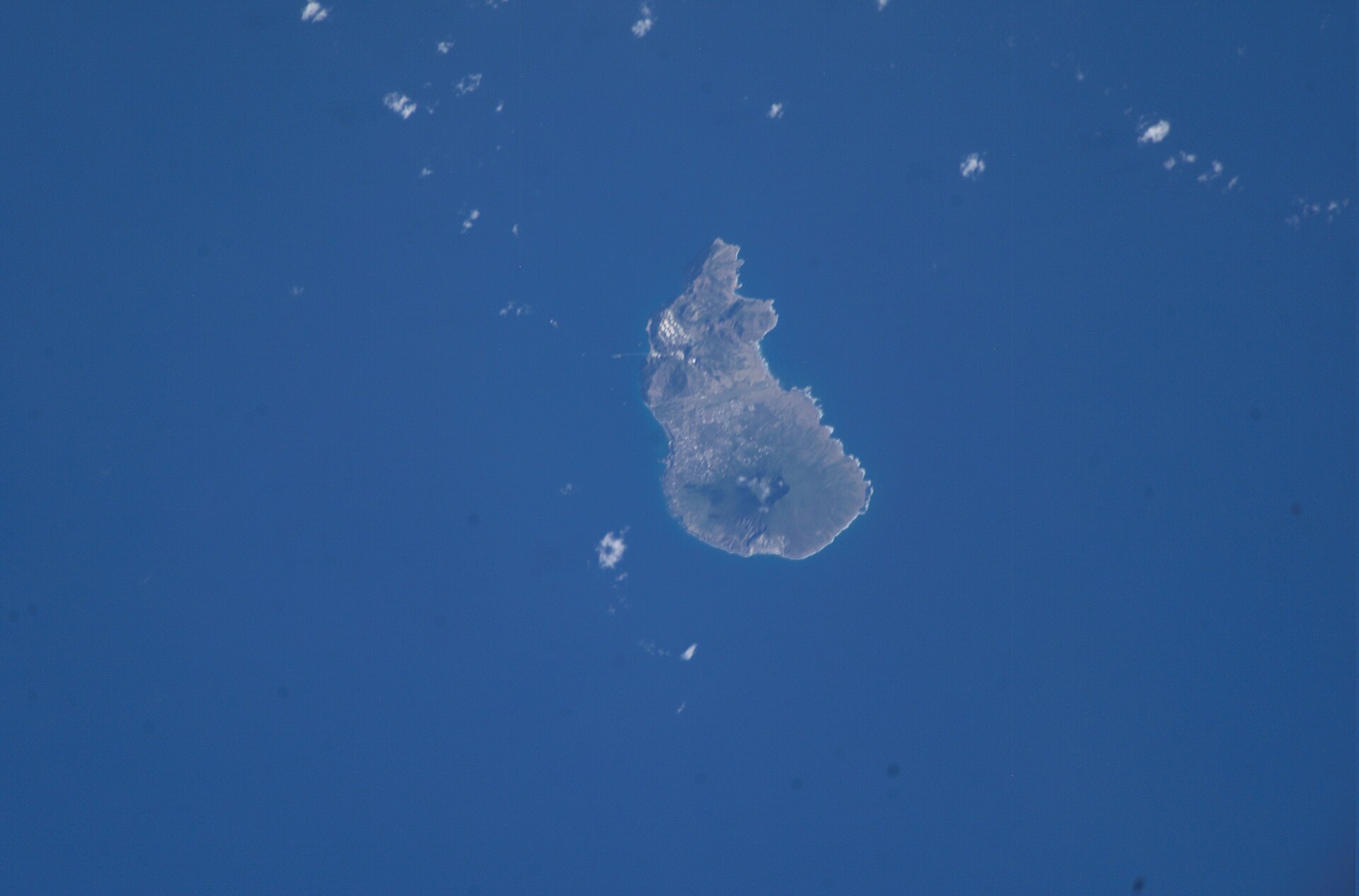
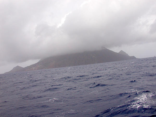
Saba National Marine Park is a national park in the Netherlands (overseas). It is a predominantly terrestrial area. Established in 1987, it covers about 700 hectares.
In our collections
Frequently asked questions
Where is Saba National Marine Park?
In the Netherlands (overseas). Representative point: 17.6350° N, 63.2499° W.
How large is Saba National Marine Park?
About 700 hectares (7 km²). It is the 25th largest of the 26 national parks in the Netherlands covered by Parkavela.
When was Saba National Marine Park established?
In 1987.
What habitats and landscapes does Saba National Marine Park include?
A terrestrial area, with coasts.
When is the best time to visit Saba National Marine Park?
Best time to visit: the dry season, from December to February, with less than 40 mm of rain per month.
What is the nearest airport to Saba National Marine Park?
Nearest airport: Juancho E. Yrausquin (SAB), less than 1 km away.
Where can I get visitor information on site?
Saba Tourist Bureau and Trail Shop.
Which species can be seen in Saba National Marine Park?
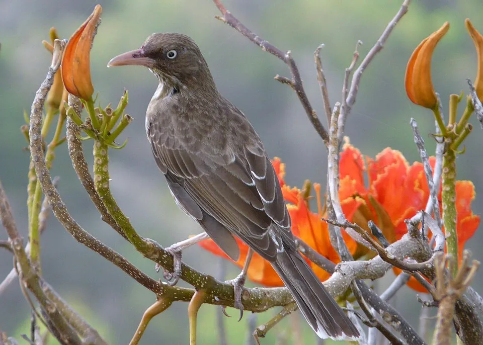
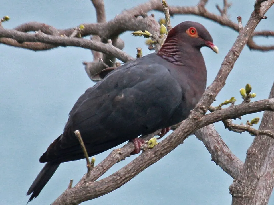
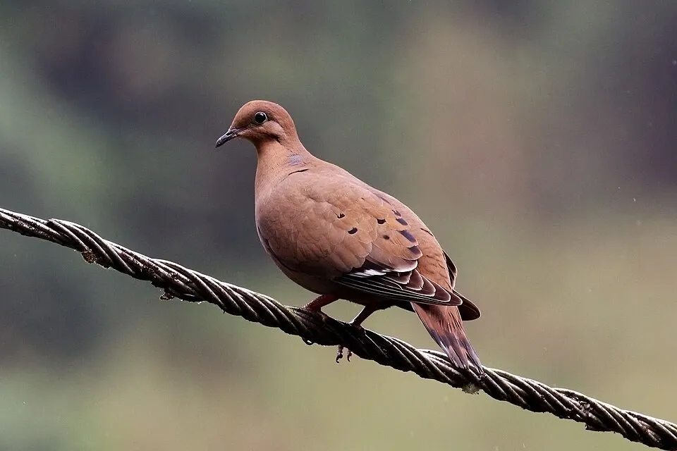
Among the species most often recorded on GBIF are Margarops fuscatus (Pearly-eyed Thrasher), Coereba flaveola (Bananaquit), Patagioenas squamosa (Scaly-naped Pigeon) and Zenaida aurita (Zenaida Dove).
© OpenStreetMap
Download the boundary: GeoJSON · GPX Boundary © OpenStreetMap contributors (ODbL).
Geography
The representative point of the site lies at around 242 m above sea level. Over the 1996–2025 period, the mean annual temperature is about 24.8 °C and total precipitation reaches roughly 929 mm per year. The warmest month is usually September, the coolest February, and the wettest September.
Area
- Area of the boundary
- 700 ha
- Elevation
- 242 m
- Median elevation
- 11 m
- Mean slope
- 17°
- Coordinates
- 17.635, -63.2499
Terrain: Mapzen Terrain Tiles (SRTM, USGS)
Climate
● Mean temperature (°C) · ▮ Precipitation (mm)
Source: Copernicus ERA5 (C3S, doi:10.24381/cds.f17050d7), monthly averages 1996–2025 interpolated to the representative point, temperatures adjusted for elevation.
Contains modified Copernicus Climate Change Service information 2026. Neither the European Commission nor ECMWF is responsible for any use that may be made of the Copernicus information or data it contains.
Natural habitats
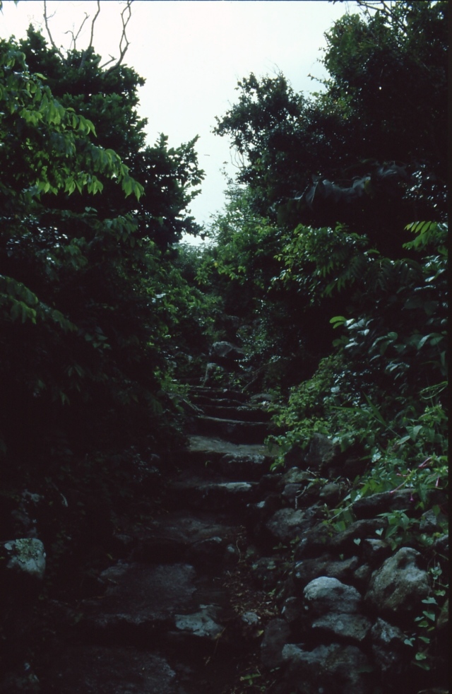
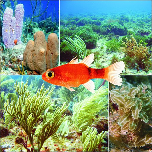
According to the global MODIS land cover (NASA, 2024), the site is mainly made up of grassland and meadows (90%) and marshes and bogs (10%). The site borders the coast. Elevation ranges from sea level to about 310 m (sampled elevations, SRTM). The terrain is steep: 27% of slopes exceed 30° (mean slope 17°). Reef-building corals are documented in the area: 1,171 records published on GBIF.
Biodiversity
Based on occurrences aggregated by GBIF, several species are regularly recorded within the site. Among the most frequent are Margarops fuscatus (Pearly-eyed Thrasher), Coereba flaveola (Bananaquit), Patagioenas squamosa (Scaly-naped Pigeon) and Zenaida aurita (Zenaida Dove). The full list of documented taxa is shown below.
Species to look out for

Bird
Scaly-naped Pigeon
Patagioenas squamosa781 records © DickDaniels (http://theworldbirds.org/) · CC BY-SA 3.0

Observed species
Occurrences documented via GBIF; they are neither an exhaustive inventory nor proof of current presence.
- Pearly-eyed Thrasher · Margarops fuscatus · 1000
- Bananaquit · Coereba flaveola · 970
- Scaly-naped Pigeon · Patagioenas squamosa · 781
- Zenaida Dove · Zenaida aurita · 719
- Lesser Antillean Bullfinch · Loxigilla noctis · 584
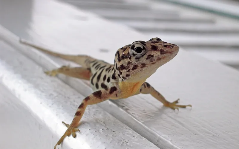
- Saban Anole · Anolis sabanus · 447
- Antillean Crested Hummingbird · Orthorhyncus cristatus · 412
- Black-faced Grassquit · Melanospiza bicolor · 382
- Red-billed Tropicbird · Phaethon aethereus · 303
- Scaly-breasted Thrasher · Allenia fusca · 262
- American Kestrel · Falco sparverius · 244
- Gray Kingbird · Tyrannus dominicensis · 236
+18 more species
- Brown Booby · Sula leucogaster · 234
- Brown-throated Parakeet · Aratinga pertinax · 232
- Mustard hill coral · Porites astreoides · 220
- Purple-throated Carib · Eulampis jugularis · 217
- Boulder star coral · Orbicella faveolata · 201
- Magnificent frigatebird · Fregata magnificens · 200
- Symmetrical Brain Coral · Pseudodiploria strigosa · 163
- Brown Trembler · Cinclocerthia ruficauda · 146
- Eurasian Collared Dove · Streptopelia decaocto · 136
- Green-throated Carib · Eulampis holosericeus · 133
- Great star coral · Montastraea cavernosa · 120
- Bumpy star coral · Orbicella franksi · 112
- White-winged Dove · Zenaida asiatica · 91
- Bridled Quail-Dove · Geotrygon mystacea · 90
- Red-tailed Hawk · Buteo jamaicensis · 78
- House Sparrow · Passer domesticus · 75
- Lettuce Coral · Agaricia agaricites · 66
- Massive Starlet Coral · Siderastrea siderea · 62
Records: GBIF.org (CC-BY). Names: Wikidata (CC0), GBIF. Photos: Wikimedia Commons.
Conservation challenges
The primary purpose of the site is to preserve its natural habitats and the biodiversity they support. The species recorded (Biodiversity tab) reflect its ecological value. Its status as a national park sets the regulatory framework for its protection.
According to Global Forest Change data (University of Maryland, Global Forest Watch), about 42 ha of tree cover were lost within the boundary between 2001 and 2023 (6% of its area), peaking in 2003 and 2011. These losses include logging, storms and fires, and do not account for regrowth. At night, 10% of the area gives off artificial light detectable from space (NASA VIIRS Black Marble composite, 2016). Since 2000, 28 invasive alien species have been recorded within the site (GBIF observations). Among them: Streptopelia decaocto (Eurasian Collared Dove), Passer domesticus (House Sparrow) and Philodendron giganteum (Giant philodendron).
Pressure indicators
Tree cover lost
42 ha
2001–2023
20012023
Fires since 2016
0
No large fire mapped (fires over about 30 ha)
Light at night
10%
of the area gives off artificial light visible from space
DarkLit
Invasive alien species
28
recorded since 2000
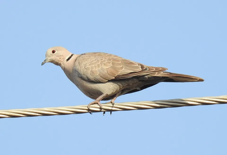 Eurasian Collared Dove
 House Sparrow
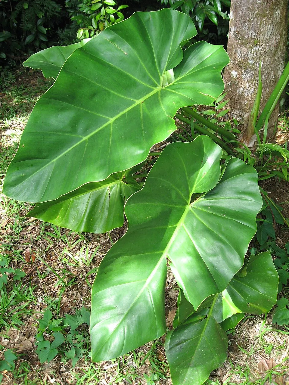 Giant philodendron
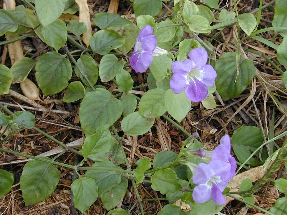 Chinese violet
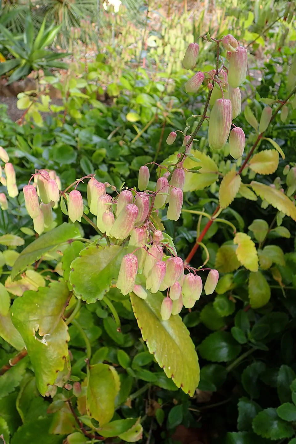 Cathedral bells
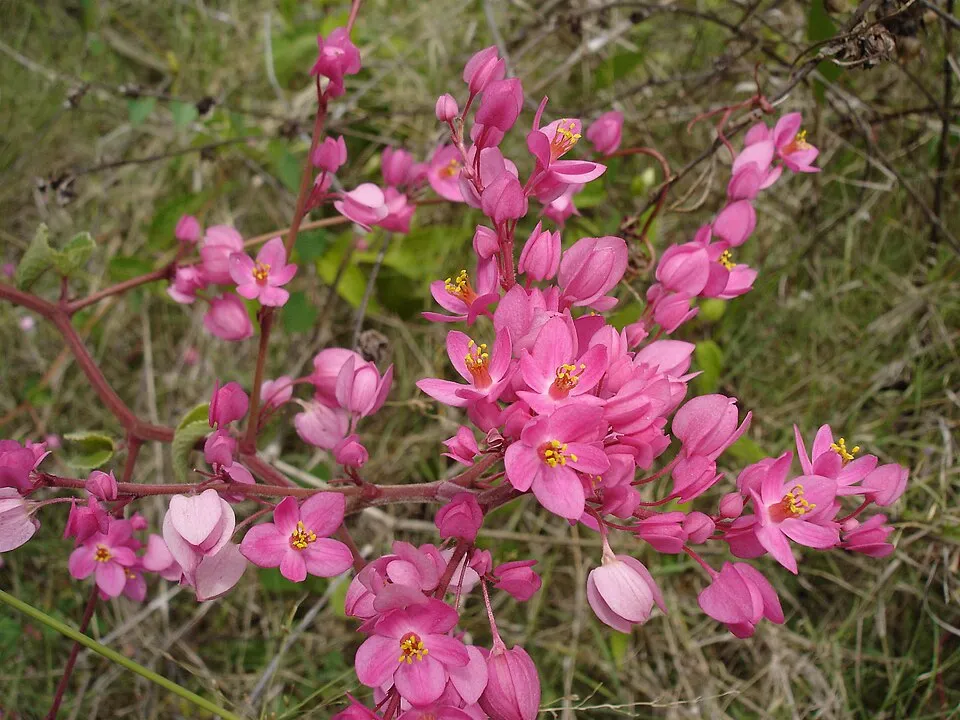 Coral vine
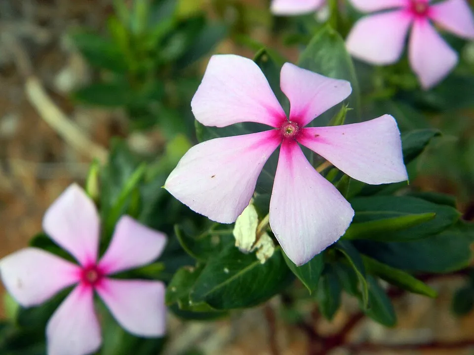 Madagascar Periwinkle
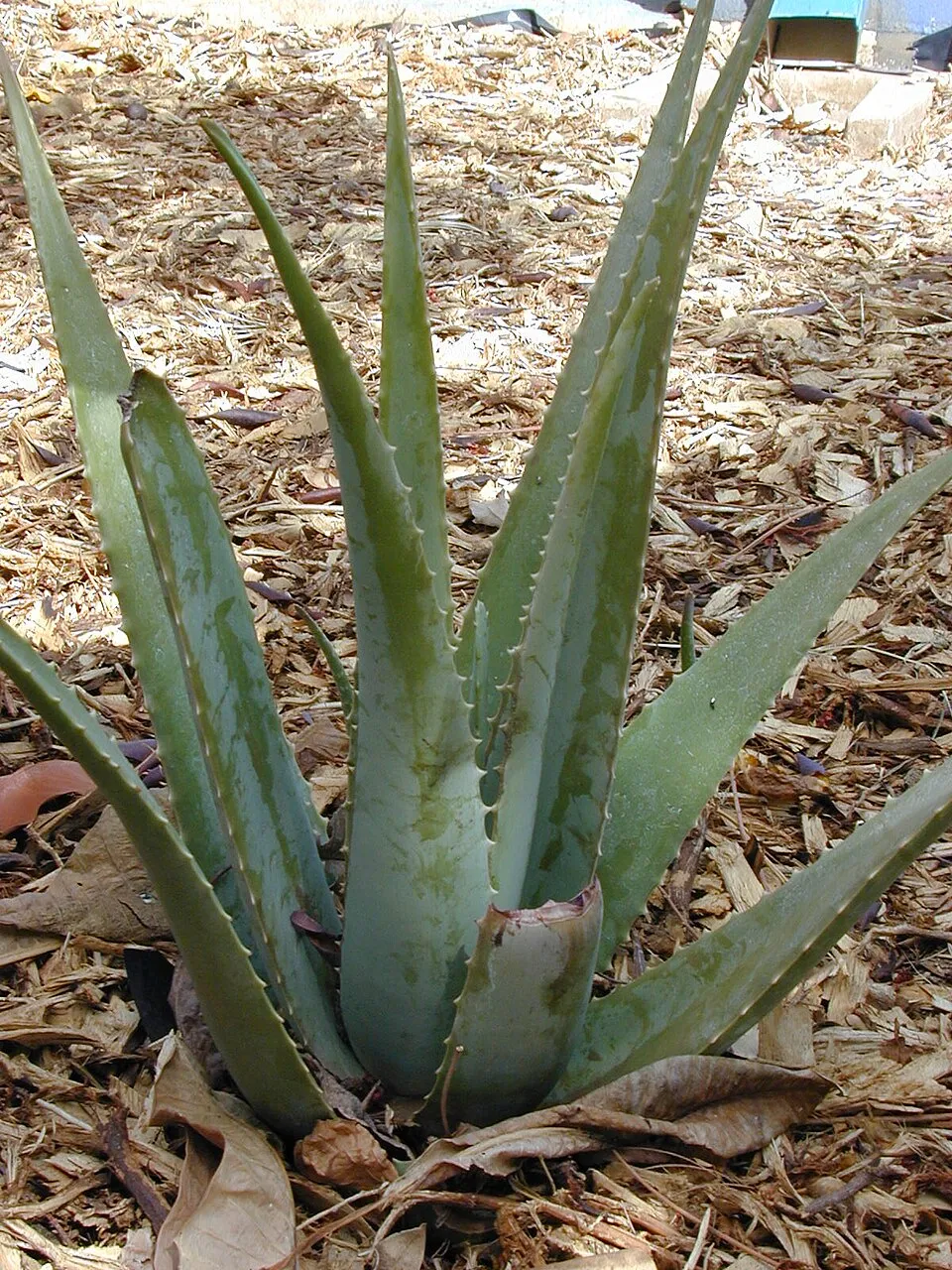 Barbados aloe
Photos: Eurasian Collared Dove © Dr. Raju Kasambe · CC BY-SA 4.0; House Sparrow © Diliff · CC BY-SA 3.0; Giant philodendron © Liné1 · CC BY 2.5; Chinese violet © Forest & Kim Starr · CC BY 3.0; Cathedral bells © Krzysztof Ziarnek, Kenraiz · CC BY-SA 4.0; Coral vine © Bouba · CC BY-SA 2.5; Madagascar Periwinkle © imbeaul · CC BY 4.0; Barbados aloe © Forest & Kim Starr · CC BY 3.0
Sources: Global Forest Change (Hansen et al., University of Maryland, via Global Forest Watch, CC-BY 4.0); EFFIS, European Commission / Copernicus; NASA Black Marble 2016 (public domain); CORINE Land Cover 2018 (Copernicus) or MODIS.
Invasive alien species: Global Register of Introduced and Invasive Species (ISSG, CC BY 4.0); Union list, Regulation (EU) 1143/2014 (INBO, CC0); GBIF.org records (CC0 / CC BY 4.0), at least 2 per species.
Practical information
Cities and airport
- Airport: Juancho E. Yrausquin (SAB)
< 1 km as the crow flies
Visitor information
- Saba Tourist Bureau
< 1 km from the site boundary - Trail Shop
< 1 km from the site boundary
Data © OpenStreetMap contributors (ODbL) · Wikidata (CC0)
Access and visiting
Nearest airport: Juancho E. Yrausquin (SAB), less than 1 km away. Fewer than 5,000 people live within 20 km of the site boundary, a very sparsely populated area (GHSL estimate, 2020). Visitor information on site: Saba Tourist Bureau and Trail Shop. To plan a visit (access, opening periods, visitor rules), it is best to consult the official information from the managing body and the official website listed in this page's sources.
Source: OpenStreetMap (ODbL), Wikidata (CC0), October 2026.
When to visit
Best time to visit: the dry season, from December to February, with less than 40 mm of rain per month. Precipitation peaks from July to October (up to 140 mm per month). Day length ranges from about 11 h 05 min in December to 13 h 11 min in June. Wildlife records published on GBIF peak for birds (November), plants (July and August) and butterflies and moths (January and February). These peaks also reflect when observers are most active.
Source: Copernicus ERA5 (C3S), monthly averages 1996–2025 at the representative point, temperatures adjusted for elevation.
Contains modified Copernicus Climate Change Service information 2026. Neither the European Commission nor ECMWF is responsible for any use that may be made of the Copernicus information or data it contains.
Wildlife records calendar
JFMAMJJASOND
Birds
Plants
Butterflies & moths
Monthly records published on GBIF (CC-BY), relative to the busiest month; also reflects observer activity.
Gallery
© Aquaimages · CC BY-SA 2.5
© magicOlf · CC BY-SA 2.0
© Roban Kramer · CC BY-SA 2.0
© Richie Diesterheft from Chicago, IL, USA · CC BY-SA 2.0
© Richie Diesterheft from Chicago, IL, USA · CC BY-SA 2.0
Sources and licences
- Wikidata: Q2017195
- OpenStreetMap: relation 3688270
- Wikipedia: en.wikipedia.org/wiki/Saba_National_Marine_Park
References
- cds.climate.copernicus.eu: climate · CC-BY-4.0
- registry.opendata.aws: elevation of the reference point, detailed relief · PD
- en.wikipedia.org: establishment date · CC-BY-SA-4.0
- lpdaac.usgs.gov: land cover · PD
- doi.org: population around the site · CC-BY-4.0
- openstreetmap.org: access and peaks · ODbL-1.0
- eea.europa.eu: bathing water quality, ecological status of waters · CC-BY-4.0
- gbif.org: coral records, seasonality of sightings, invasive alien species, observed species · CC-BY-4.0
- en.eurovelo.com: EuroVelo cycle routes · ODbL-1.0
- cycling.waymarkedtrails.org: cycle routes · ODbL-1.0
- opentopodata.org: elevations · PD
- forest-fire.emergency.copernicus.eu: wildfires · COPERNICUS
- globalforestwatch.org: tree cover loss · CC-BY-4.0
- wikidata.org: protected heritage, official name, nearby cities and airport, access and peaks, lake depths, places to see · CC0-1.0
- hydrosheds.org: lakes · CC-BY-4.0
- earthobservatory.nasa.gov: night light · PD
- naturalearthdata.com: sea share · PD
- nsidc.org: snow cover · PD
- wikidata.org: Wikipedia article · CC-BY-SA-4.0
Data © OpenStreetMap contributors (ODbL), Wikidata (CC0) and the sources cited.