
Bird
Gray Kingbird: where to see it
Tyrannus dominicensis
This bird species is recorded in 9 protected areas of the atlas. Within the atlas countries, it is observed in France and the Netherlands. Most records (8 in 10) lie between sea level and 360 m. Records peak from October to June. It weighs 43.8 g.
Best time to see it: October–June
Records published on GBIF by month (CC0 and CC BY 4.0 licences only), in the atlas countries, all years combined; they also reflect observer activity.
Key facts
- Weight
- 43.8 g Wikidata, after Lislevand et al. 2007
- Clutch size
- 2.8 eggs on average Wikidata, after Jetz et al. 2008
Distribution
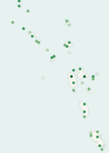
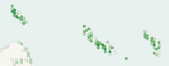
Records published on GBIF (CC0 and CC BY 4.0 licences): the darker the shade, the more records there are; they also reflect observation effort.
Atlas countries where it is recorded
Listen
-
0:09 · © Filo gèn' · CC BY-SA 4.0 · Wikimedia Commons · Original file
From Wikipedia
The gray kingbird or grey kingbird (Tyrannus dominicensis), also known as pitirre, petchary or white-breasted kingbird, is a passerine bird in the tyrant flycatchers family Tyrannidae. The species was first described on the island of Hispaniola, then called Santo Domingo, thus the dominicensis name.
Source: Wikipedia, article “Gray kingbird” (version of July 22, 2026) · history and authors · licence CC BY-SA 4.0
Protected areas where it is recorded
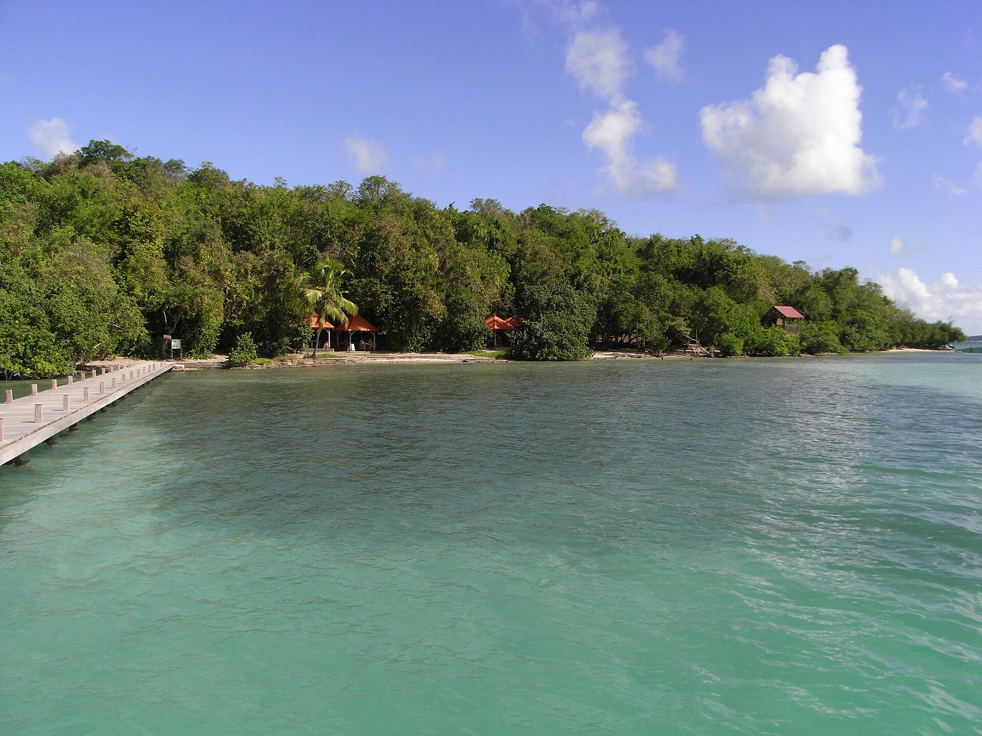
1,706 records

1,317 records
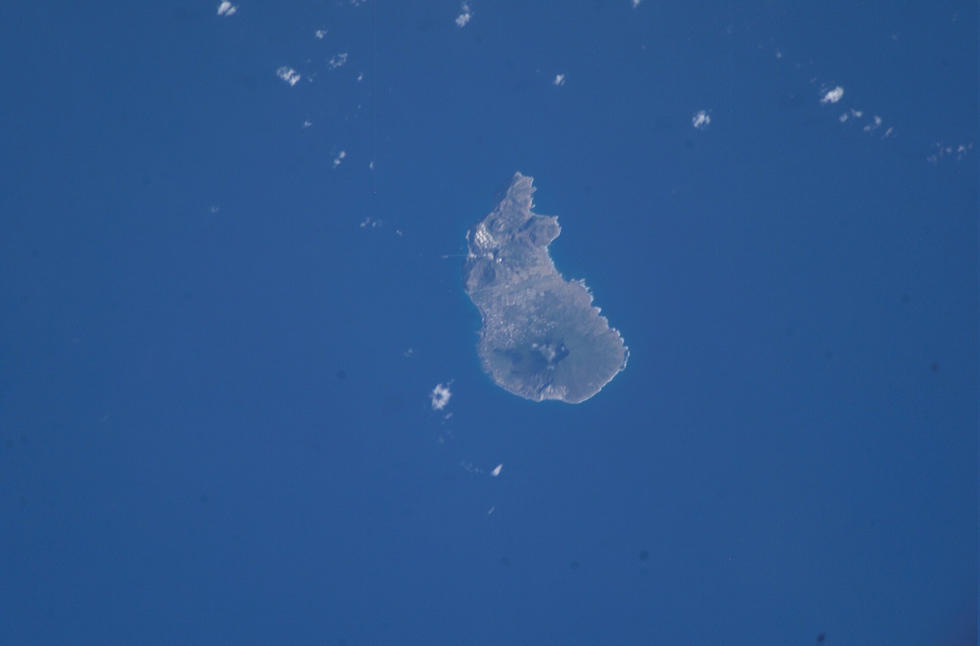
758 records
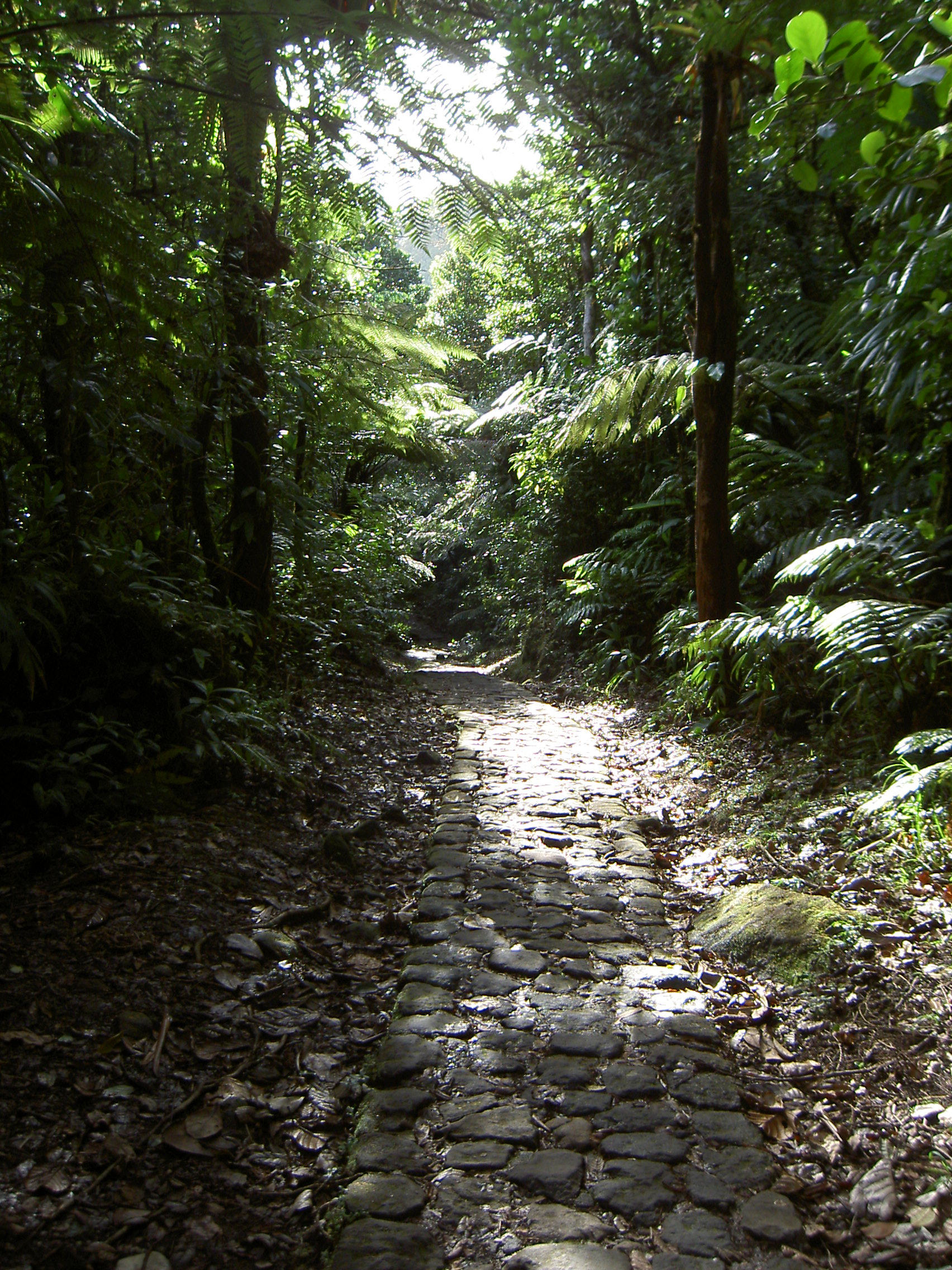
643 records

639 records

368 records
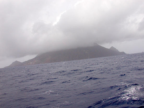
236 records

220 records
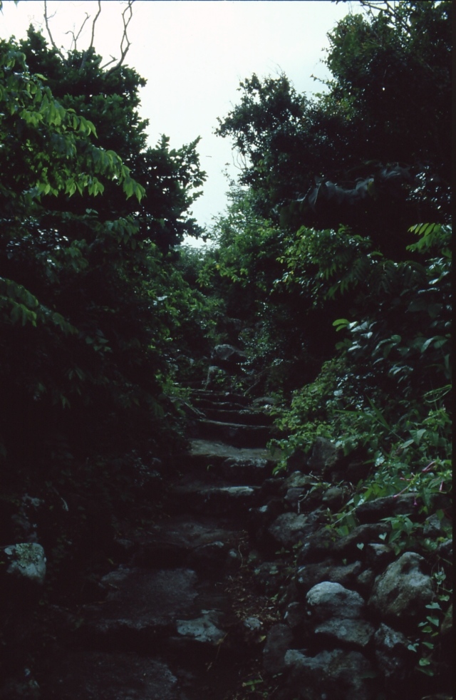
9 records
Other species to discover
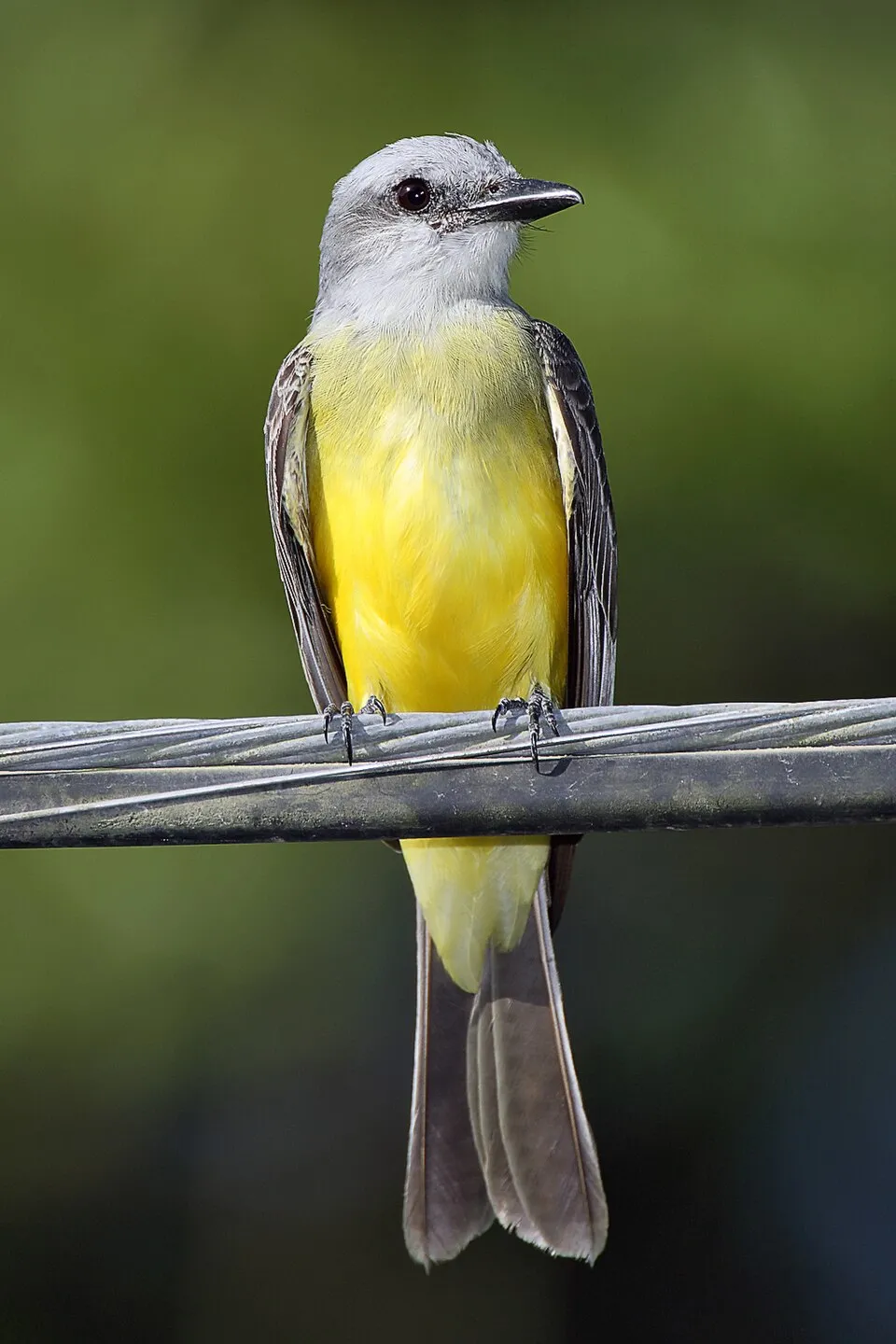 Tropical Kingbird
Tyrannus melancholicus Same genus
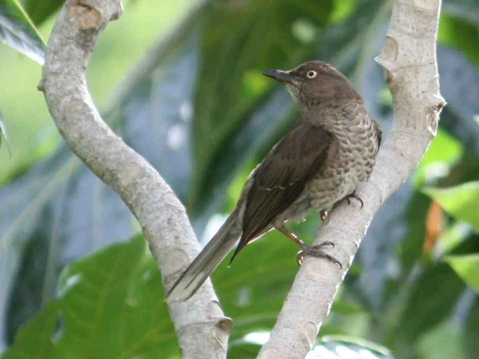 Scaly-breasted Thrasher
Allenia fusca 7 places in common
 Lesser Antillean Bullfinch
Loxigilla noctis 7 places in common
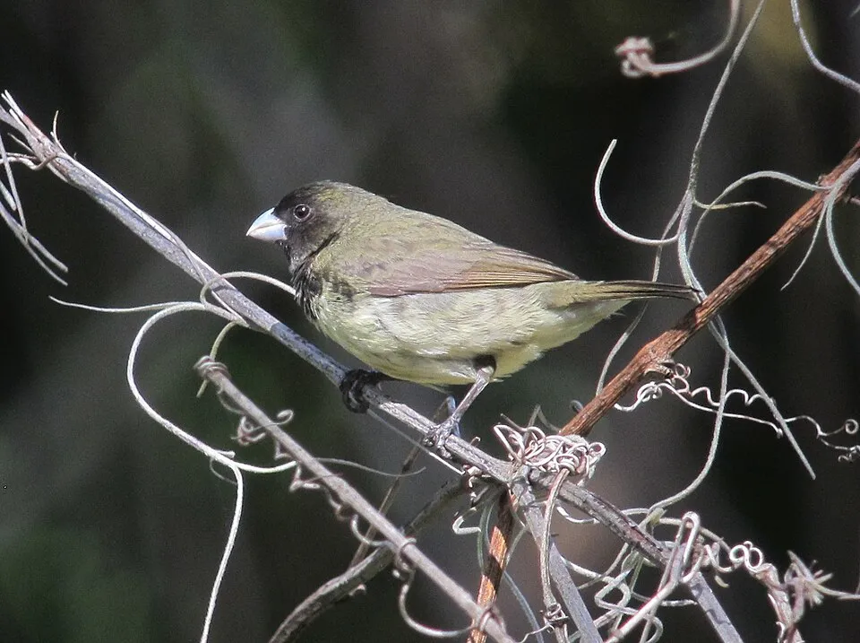 Black-faced Grassquit
Melanospiza bicolor 7 places in common
 Antillean Crested Hummingbird
Orthorhyncus cristatus 7 places in common
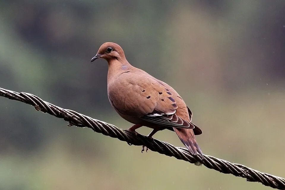 Zenaida Dove
Zenaida aurita 7 places in common
Sources and credits
- Presence: most-recorded species of each place on GBIF and species of Community interest in the Natura 2000 forms (EEA, CC-BY 4.0); absence from the list does not mean the species is absent.
- Common names: Wikidata (CC0) and GBIF.
- Photos and sounds: Wikimedia Commons, author and licence given for each file.
- Classification: GBIF Backbone Taxonomy (GBIF Secretariat), CC BY 4.0, doi:10.15468/39omei.
- Countries, elevations, months and maps: GBIF.org, CC0 or CC BY 4.0 occurrences only, accessed October 22, 2026, GBIF.org.
- Base map: Natural Earth (public domain).
- Excerpt: Wikipedia, CC BY-SA 4.0 (full credit below the excerpt).
- Key facts: Wikidata (CC0), with the references cited under each value.