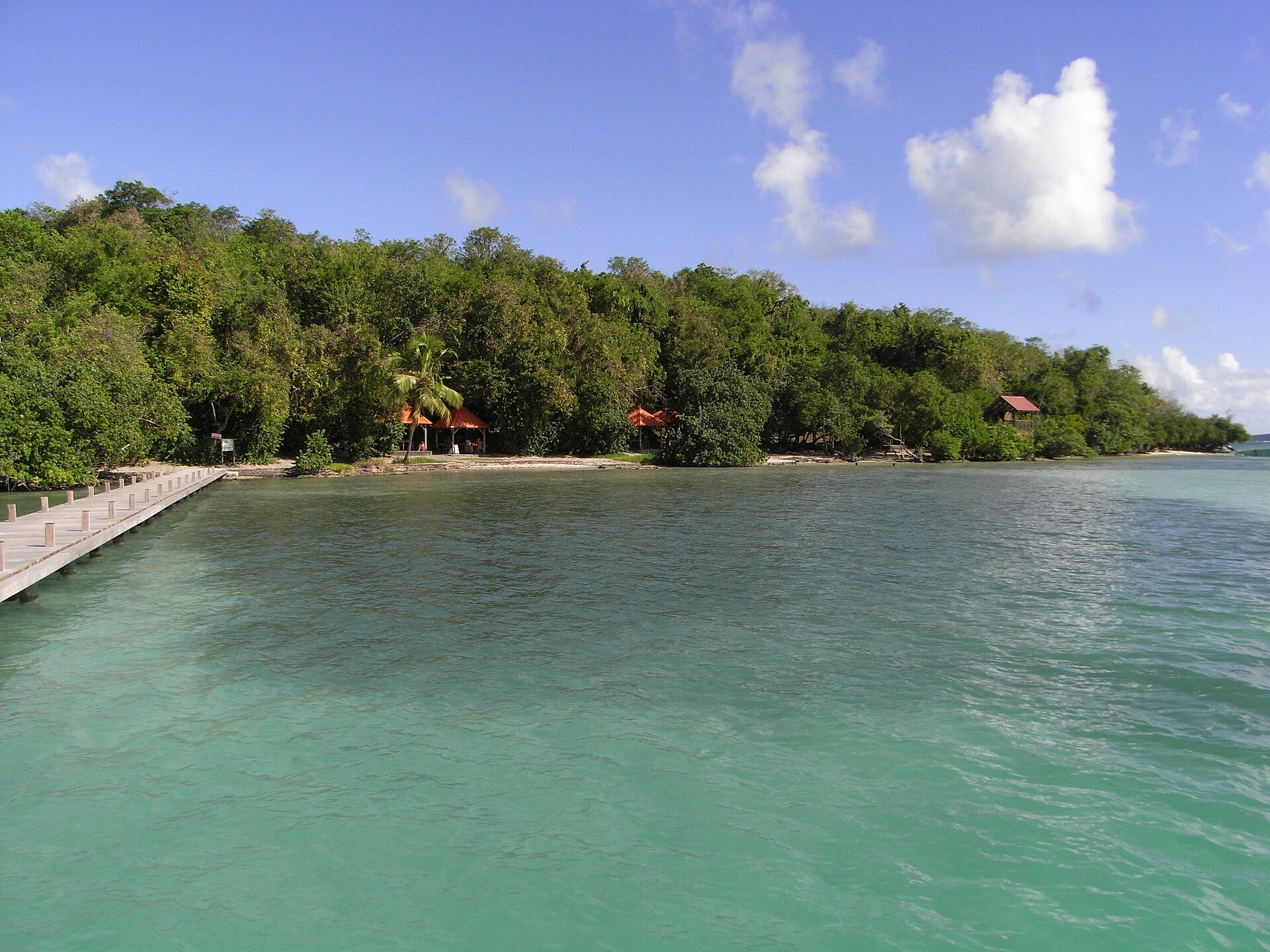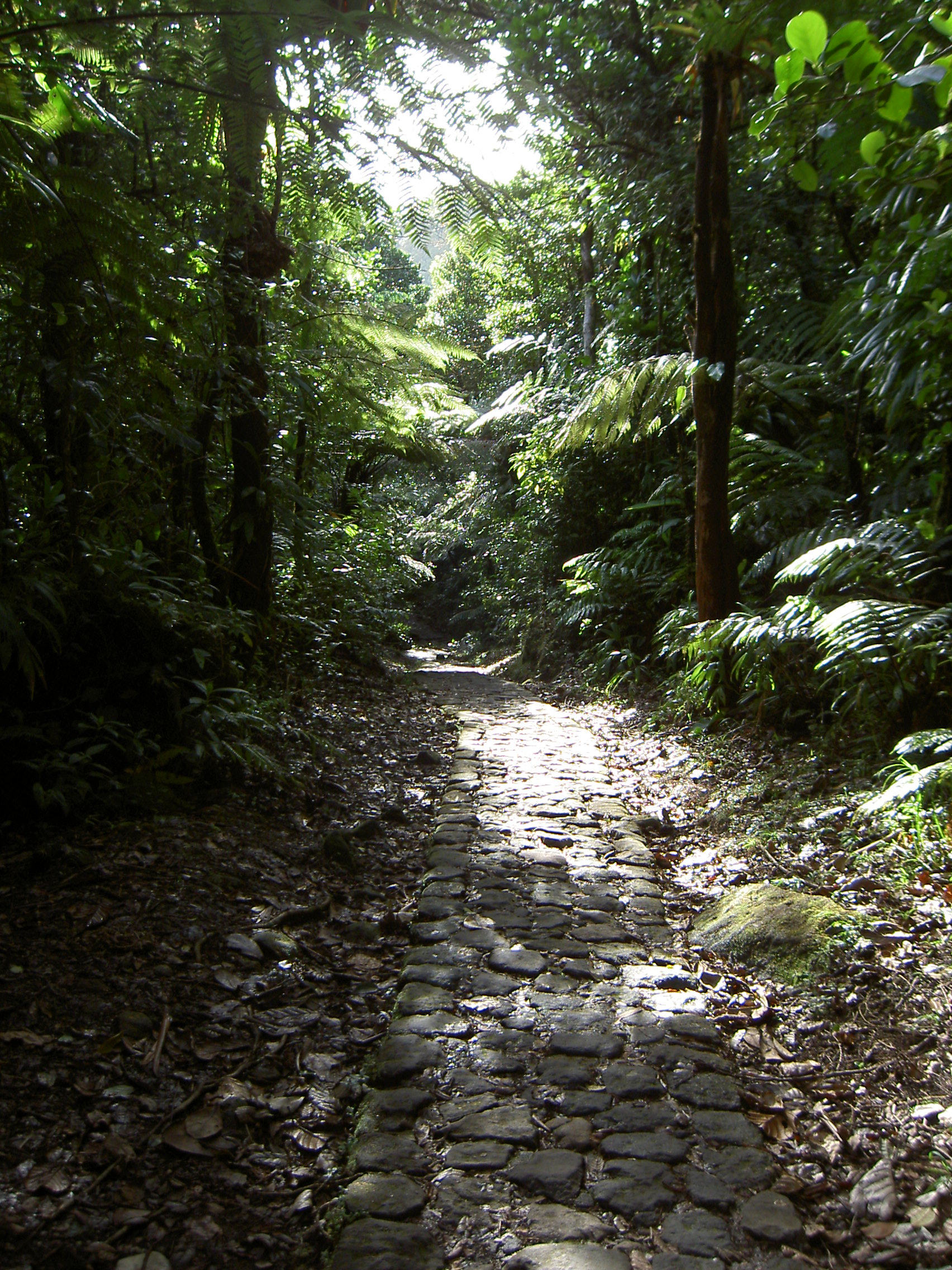

France · Terrestrial
Guadeloupe National Park
National park of 22,062 hectares in France, established in 1989.
Overview
National park of 22,062 hectares in France, established in 1989.
Guadeloupe National Park is located in France (overseas). It is a predominantly terrestrial area. Established in 1989, it covers about 22,062 hectares. The site is managed by Ministry of the Ecological Transition.
Protections and designations
UNESCO Biosphere Reserve
Protected as a national park. International labels and designations: UNESCO Biosphere Reserve. Key dates: established in 1989 and Biosphere Reserve in 1989.
In our collections
Timeline
-
1989
Established
-
1989
UNESCO Biosphere Reserve Guadeloupe National Park
Sources: Wikidata (CC0) for establishment and international labels; EEA Natura 2000 database (CC-BY 4.0) for site designation dates.
Frequently asked questions
Where is Guadeloupe National Park?
In France (overseas). Representative point: 16.1915° N, 61.6636° W.
How large is Guadeloupe National Park?
About 22,062 hectares (221 km²). It is the 12th largest of the 13 national parks in France covered by Parkavela. About 3,000 ha are at sea.
When was Guadeloupe National Park established?
In 1989.
What habitats and landscapes does Guadeloupe National Park include?
A terrestrial area, with forests, mountains, coasts and coral reefs.
What is the highest point of Guadeloupe National Park?
La Découverte, at 1,467 m (OpenStreetMap).
Which international labels apply to Guadeloupe National Park?
UNESCO Biosphere Reserve.
When is the best time to visit Guadeloupe National Park?
Best time to visit: the dry season, February and March, with less than 50 mm of rain per month.
What is there to see in Guadeloupe National Park?
43 viewpoints, 40 waterfalls, 6 lakes and ponds and 1 bird hide, including Vue sur deux des Chutes du Carbet, Chute du Galion (900 m), Grand Étang and Observatoire du Grand Étang (OpenStreetMap).
Where can I stay in Guadeloupe National Park?
5 mountain huts, including Abri du Morne Léger, Refuge de Montagnards and Refuge de la citerne (OpenStreetMap).
Are there historic monuments in Guadeloupe National Park?
Yes. According to the French Ministry of Culture's Mérimée database, one historic monument (classé) stands within the boundary. For example: “Habitation caféière La Grivelière” in Vieux-Habitants.
Can you swim in Guadeloupe National Park?
8 monitored bathing sites lie in or within 1 km of the site; official 2025 classification: 3 excellent, 3 good and 1 sufficient (European Environment Agency). Swimming is only permitted at the sites and times authorised locally.
What is the nearest large city to Guadeloupe National Park?
Nearest towns of over 50,000 people, as the crow flies: Les Abymes (3 km). Nearest airport: Pointe-à-Pitre (PTP), about 2 km away.
How can I reach Guadeloupe National Park by train?
The nearest railway station is Halte ferroviaire, about 9 km from the site boundary.
Where can I get visitor information on site?
Maison des Bains Jaunes, Maison de la Forêt (Parc national) and Centre d'élevage de lamantins - Parc national.
Are there waymarked hiking trails in Guadeloupe National Park?
Yes. Waymarked hiking routes listed in OpenStreetMap: 26, including La Trace des Alizés.
Which species can be seen in Guadeloupe National Park?
Among the species most often recorded on GBIF are Coereba flaveola (Bananaquit), Loxigilla noctis (Lesser Antillean Bullfinch), Cinclocerthia ruficauda (Brown Trembler) and Setophaga plumbea (Plumbeous Warbler).
Who manages Guadeloupe National Park?
Ministry of the Ecological Transition.
What is the official website of Guadeloupe National Park?
© OpenStreetMap
Download the boundary: GeoJSON · GPX Boundary © OpenStreetMap contributors (ODbL).
Geography
The representative point of the site lies at around 180 m above sea level. Over the 1996–2025 period, the mean annual temperature is about 25.8 °C and total precipitation reaches roughly 913 mm per year. The warmest month is usually August, the coolest February, and the wettest October.
Area
- Area
- 22,062 ha
- Elevation
- 180 m
- Median elevation
- 562 m
- Mean slope
- 17°
- Coordinates
- 16.1915, -61.6636
Terrain: Mapzen Terrain Tiles (SRTM, USGS)
Elevation bands
- below 500 m 41%
- 500–1,000 m 49%
- 1,000–1,500 m 10%
share of the site in each elevation band (smoothed terrain model: summits are rounded off) · Terrain: Mapzen Terrain Tiles (SRTM, USGS)
Climate
● Mean temperature (°C) · ▮ Precipitation (mm)
Source: Copernicus ERA5-Land (C3S, doi:10.24381/cds.68d2bb30), monthly averages 1996–2025 interpolated to the representative point, temperatures adjusted for elevation.
Contains modified Copernicus Climate Change Service information 2026. Neither the European Commission nor ECMWF is responsible for any use that may be made of the Copernicus information or data it contains.
Natural habitats
According to CORINE Land Cover (2018), the site is mainly made up of forests (78%), marine waters (14%) and heath and scrub (6%). Woodland is mostly broadleaved. The site borders the coast. Elevation ranges from sea level to 1,467 m (highest point: La Découverte). Median elevation is 562 m, and 10% of the site lies above 1,000 m (SRTM elevation model). The terrain is steep: 15% of slopes exceed 30° (mean slope 17°). Reef-building corals are documented in the area: 2,705 records published on GBIF.
Biodiversity
Based on occurrences aggregated by GBIF, several species are regularly recorded within the site. Among the most frequent are Coereba flaveola (Bananaquit), Loxigilla noctis (Lesser Antillean Bullfinch), Cinclocerthia ruficauda (Brown Trembler) and Setophaga plumbea (Plumbeous Warbler). The full list of documented taxa is shown below.
Species to look out for


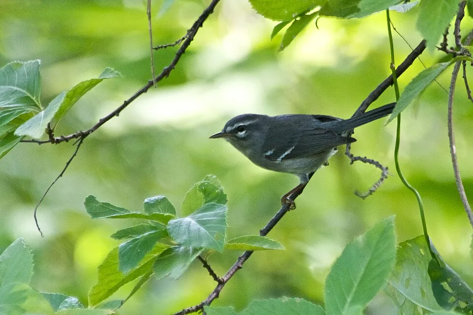
Bird
Plumbeous Warbler
Setophaga plumbea1,550 records © https://www.flickr.com/photos/40167965@N05 · CC BY 2.0
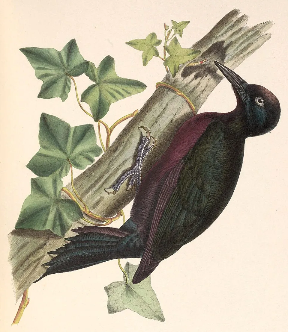
Bird
Guadeloupe Woodpecker
Melanerpes herminieri1,533 records © Marc Athanase Parfait Œillet Des Murs (1804-1878) · Public domain
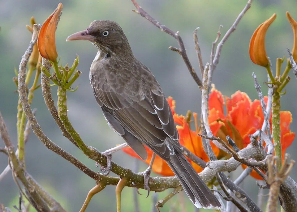
Observed species
Occurrences documented via GBIF; they are neither an exhaustive inventory nor proof of current presence.
- Bananaquit · Coereba flaveola · 3790
- Lesser Antillean Bullfinch · Loxigilla noctis · 1844
- Brown Trembler · Cinclocerthia ruficauda · 1616
- Plumbeous Warbler · Setophaga plumbea · 1550
- Guadeloupe Woodpecker · Melanerpes herminieri · 1533
- Pearly-eyed Thrasher · Margarops fuscatus · 1316
- Scaly-breasted Thrasher · Allenia fusca · 1191
- Forest Thrush · Turdus lherminieri · 1135
- Caribbean Elaenia · Elaenia martinica · 1109
- Purple-throated Carib · Eulampis jugularis · 1094
- Bridled Quail-Dove · Geotrygon mystacea · 889
- Black-whiskered Vireo · Vireo altiloquus · 854
+18 more species
- Mangrove Warbler · Setophaga petechia · 802
- Antillean Crested Hummingbird · Orthorhyncus cristatus · 724
- Gray Kingbird · Tyrannus dominicensis · 643
- Lesser Antillean Swift · Chaetura martinica · 543
- Scaly-naped Pigeon · Patagioenas squamosa · 408
- Lesser Antillean Saltator · Saltator albicollis · 393
- Lesser Antillean Pewee · Contopus latirostris · 375
- Mangrove Cuckoo · Coccyzus minor · 358
- Guadeloupe Forest Frog · Eleutherodactylus pinchoni · 330
- Yellowtail Snapper · Ocyurus chrysurus · 296
- Yellow Tube Sponge · Aplysina fistularis · 284
- Blue tang · Acanthurus coeruleus · 281
- Osprey · Pandion haliaetus · 272
- Stoplight parrotfish · Sparisoma viride · 270
- Sergeant-major · Abudefduf saxatilis · 267
- Trumpetfish · Aulostomus maculatus · 262
- Smooth trunkfish · Lactophrys triqueter · 262
- French angelfish · Pomacanthus paru · 257
Records: GBIF.org (CC-BY). Names: Wikidata (CC0), GBIF. Photos: Wikimedia Commons.
Conservation challenges
The primary purpose of the site is to preserve its natural habitats and the biodiversity they support. The species recorded (Biodiversity tab) reflect its ecological value. The designations it holds frame its management and the control of land use.
According to Global Forest Change data (University of Maryland, Global Forest Watch), about 45 ha of tree cover were lost within the boundary between 2001 and 2023 (under 1% of its area), peaking in 2012 and 2018. These losses include logging, storms and fires, and do not account for regrowth. At night, 13% of the area gives off artificial light detectable from space (NASA VIIRS Black Marble composite, 2016). According to the Water Framework Directive assessment (2022 river basin management plans, data 2012–2017), only 32% of the 64 km of rivers assessed within the site are in good or high ecological status; the others mostly have moderate ecological status. Other assessed water bodies: coastal waters, 0 of 1 in good ecological status or better. Since 2000, 14 invasive alien species have been recorded within the site (GBIF observations). Among them: Pterois volitans (Common lionfish), Spathoglottis plicata (Philippine ground orchid) and Herpestes javanicus (Small Asian Mongoose).
Pressure indicators
Tree cover lost
45 ha
2001–2023 · < 1% of the area
20012023
Fires since 2016
0
No large fire mapped (fires over about 30 ha)
Light at night
13%
of the area gives off artificial light visible from space
DarkLit
Built-up land
< 1%
buildings, business areas, roads, quarries
Rivers and lakes
32%
of the 64 km of assessed rivers in good or high ecological status · WFD 2022
Coastal waters: 0 of 1 good or better
assessments 2012–2017
Invasive alien species
14
recorded since 2000
 Common lionfish
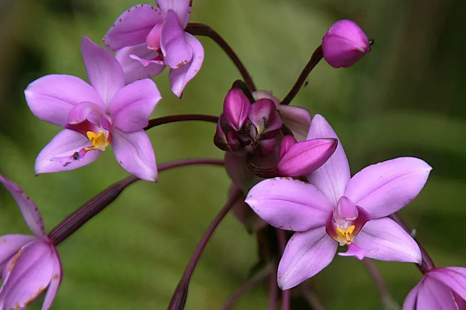 Philippine ground orchid
 Small Asian Mongoose
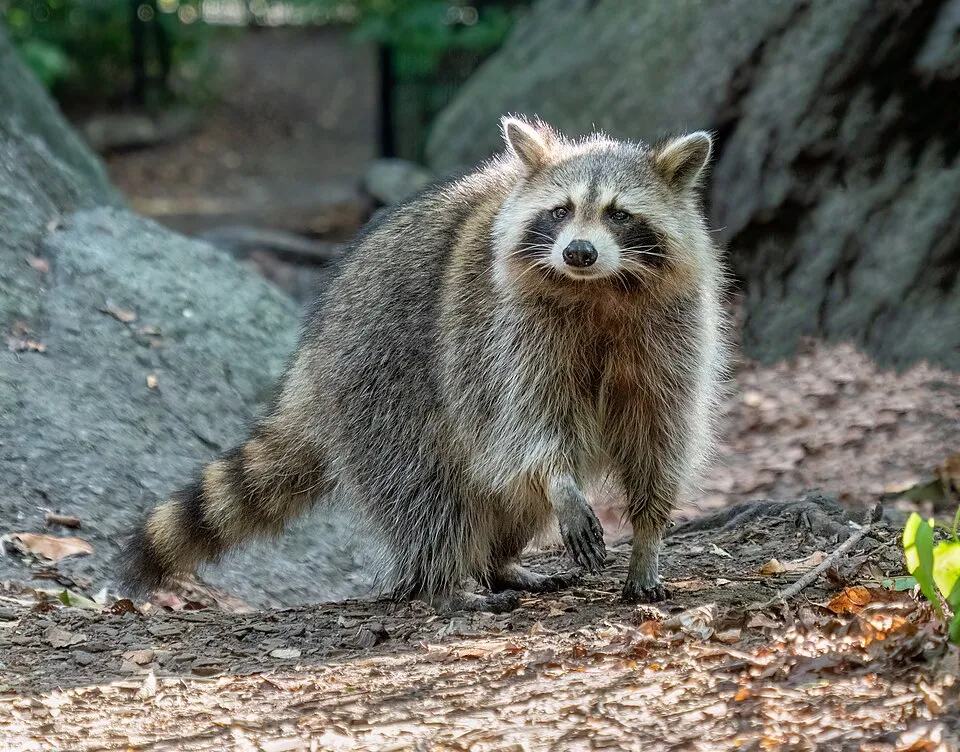 Raccoon
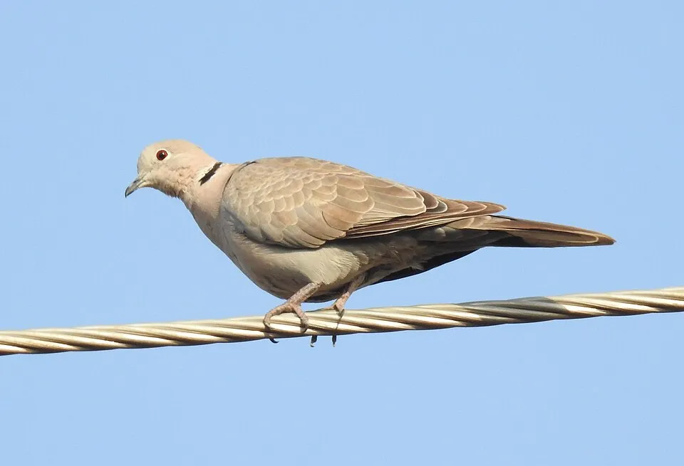 Eurasian Collared Dove
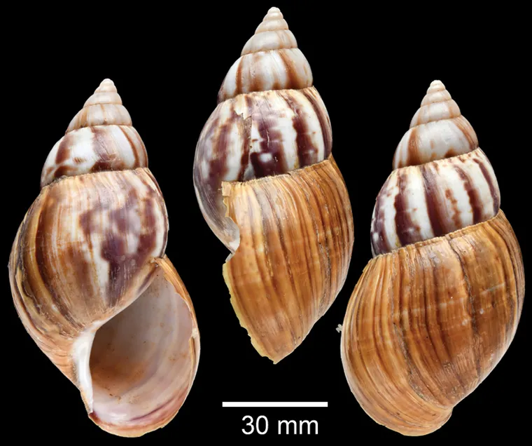 Giant African Snail
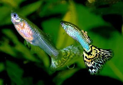 Guppy
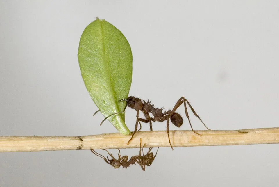 Leaf-cutter ant
Photos: Common lionfish © and (C)2007 Derek Ramsey (Ram-Man) · CC BY-SA 2.5; Philippine ground orchid © Sémhur ·✉·· · CC BY-SA 3.0; Small Asian Mongoose © Liné1 · CC BY 2.5; Raccoon © Rhododendrites · CC BY-SA 4.0; Eurasian Collared Dove © Dr. Raju Kasambe · CC BY-SA 4.0; Giant African Snail © Sutcharit C et al. · CC BY 4.0; Guppy © Marrabbio2 · CC BY-SA 3.0; Leaf-cutter ant © Deadstar0 · CC BY-SA 3.0
Sources: Global Forest Change (Hansen et al., University of Maryland, via Global Forest Watch, CC-BY 4.0); EFFIS, European Commission / Copernicus; NASA Black Marble 2016 (public domain); CORINE Land Cover 2018 (Copernicus) or MODIS.
Ecological status of water bodies: European Environment Agency, WISE – Water Framework Directive, 3rd river basin management plans (2022), CC BY 4.0. Official national classification, not comparable between countries.
Invasive alien species: Global Register of Introduced and Invasive Species (ISSG, CC BY 4.0); Union list, Regulation (EU) 1143/2014 (INBO, CC0); GBIF.org records (CC0 / CC BY 4.0), at least 2 per species.
Practical information
Cities and airport
- Les Abymes
3 km as the crow flies - Airport: Pointe-à-Pitre (PTP)
2 km as the crow flies
Visitor information
- Maison des Bains Jaunes
within the site - Maison de la Forêt (Parc national)
within the site - Centre d'élevage de lamantins - Parc national
< 1 km from the site boundary - Maison de la Foret
within the site
Parking
13 public car parks listed within the site · 2 trailheads
Parking 1e et 2e chutes du CarbetParking des Bains JaunesCol des Mamelles ParkingAire de Pique-nique de Bras-David
Things to see
43 viewpoints · 40 waterfalls · 6 lakes and ponds · 1 bird hide
- Vue sur deux des Chutes du Carbet
viewpoint - Chute du Galion
waterfall · 900 m - Grand Étang
lake or pond - Observatoire du Grand Étang
bird hide - Auphrand
waterfall
Where to stay
5 mountain huts
- Abri du Morne Léger
Unstaffed hut - Refuge de Montagnards
Unstaffed hut - Refuge de la citerne
Unstaffed hut - Refuge des Trois Crêtes
Unstaffed hut - Refuge du Morne Frébault / Matéliane
Unstaffed hut
Hiking
26 waymarked routes listed, including:
La Trace des Alizés
Wheelchair access
- Aire de pique-nique de Corossol
picnic site - Trace de la Cascade aux Écrevisses
path
Reported by OpenStreetMap contributors (ODbL); check with the park before visiting.
Data © OpenStreetMap contributors (ODbL) · Wikidata (CC0)
Bathing
8 monitored bathing sites in or within 1 km of the site · 2025 classification
Excellent · 3
Good · 3
Sufficient · 1
Not classified · 1
- Bain Jaune · river · Excellent
- Bassin Bleu - Palmiste · river · Excellent
- Riviere Rouge · river · Excellent
- Bras David · river · Good
- Cascade Aux Ecrevisses · river · Good
- Corrosol · river · Good
- Malendure · sea · Sufficient
- Anse A Sable · sea · Not classified
Source: European Environment Agency, official bathing water classification (Directive 2006/7/EC, CC-BY 4.0). Swimming is only permitted at the sites and times authorised locally.
Access and visiting
The nearest railway station is Halte ferroviaire, about 9 km from the site boundary. Nearest towns of over 50,000 people, as the crow flies: Les Abymes (3 km). Nearest airport: Pointe-à-Pitre (PTP), about 2 km away. About 360,000 people live within 20 km of the site boundary, 300,000 of them within 10 km; some 420 people are estimated to live inside (GHSL estimate, 2020). This population has fallen by about 8% since 2000. Visitor information on site: Maison des Bains Jaunes, Maison de la Forêt (Parc national) and Centre d'élevage de lamantins - Parc national. Public car parks listed within the site: 13, including Parking 1e et 2e chutes du Carbet, Parking des Bains Jaunes and Col des Mamelles Parking. Waymarked hiking routes listed in OpenStreetMap: 26, including La Trace des Alizés. OpenStreetMap contributors list 2 wheelchair-accessible places: Aire de pique-nique de Corossol and Trace de la Cascade aux Écrevisses; check with the park before visiting. To see: 43 viewpoints, 40 waterfalls, 6 lakes and ponds and 1 bird hide, including Vue sur deux des Chutes du Carbet, Chute du Galion (900 m), Grand Étang and Observatoire du Grand Étang. Where to stay: 5 mountain huts, including Abri du Morne Léger, Refuge de Montagnards and Refuge de la citerne. To plan a visit (access, opening periods, visitor rules), it is best to consult the official information from the managing body (Ministry of the Ecological Transition) and the official website listed in this page's sources.
Source: OpenStreetMap (ODbL), Wikidata (CC0), October 2026.
Built heritage
According to the French Ministry of Culture's Mérimée database, one historic monument (classé) stands within the boundary. It is “Habitation caféière La Grivelière” in Vieux-Habitants.
-
Habitation caféière La Grivelière
Classé
Vieux-Habitants · 19th c.
Source: Mérimée database, French Ministry of Culture (Licence Ouverte 2.0). Each record links to the Plateforme ouverte du patrimoine (POP).
When to visit
Best time to visit: the dry season, February and March, with less than 50 mm of rain per month. Precipitation peaks in September and October (up to 130 mm per month). These averages apply to the site's representative point (180 m); higher up it is markedly cooler. Day length ranges from about 11 h 10 min in December to 13 h 05 min in June. Wildlife records published on GBIF peak for birds (April and May), plants (from February to May), butterflies and moths (November), dragonflies (March) and mammals (July). These peaks also reflect when observers are most active.
Source: Copernicus ERA5-Land (C3S), monthly averages 1996–2025 at the representative point, temperatures adjusted for elevation.
Contains modified Copernicus Climate Change Service information 2026. Neither the European Commission nor ECMWF is responsible for any use that may be made of the Copernicus information or data it contains.
Wildlife records calendar
JFMAMJJASOND
Birds
Plants
Butterflies & moths
Dragonflies
Mammals
Monthly records published on GBIF (CC-BY), relative to the busiest month; also reflects observer activity.
Gallery
© Ofol · CC BY 2.5
© Filo gèn' · CC BY-SA 4.0
© Simsimonkey · CC BY-SA 4.0
© Boisseau Marc · CC BY-SA 4.0
© Filo gèn' · CC BY-SA 4.0
© Kouakou ph · CC BY-SA 4.0
Sources and licences
- Wikidata: Q1028479
- OpenStreetMap: relation 1106907
- Official website: http://www.guadeloupe-parcnational.fr/
- Wikipedia: en.wikipedia.org/wiki/Guadeloupe_National_Park
- WDPA: 147298
References
- cds.climate.copernicus.eu: climate · CC-BY-4.0
- registry.opendata.aws: elevation of the reference point, detailed relief · PD
- land.copernicus.eu: land cover, sea share · COPERNICUS
- doi.org: population around the site · CC-BY-4.0
- wikidata.org: official area, establishment date, managing body, nearby cities and airport, access and peaks, lake depths, places to see, official website · CC0-1.0
- eea.europa.eu: bathing water quality, ecological status of waters · CC-BY-4.0
- gbif.org: coral records, seasonality of sightings, invasive alien species, observed species · CC-BY-4.0
- en.eurovelo.com: EuroVelo cycle routes · ODbL-1.0
- cycling.waymarkedtrails.org: cycle routes · ODbL-1.0
- opentopodata.org: elevations · PD
- forest-fire.emergency.copernicus.eu: wildfires · COPERNICUS
- globalforestwatch.org: tree cover loss · CC-BY-4.0
- pop.culture.gouv.fr: protected heritage · LO-2.0
- hydrosheds.org: lakes · CC-BY-4.0
- openstreetmap.org: official name, access and peaks, places to see, trail difficulty, wheelchair access · ODbL-1.0
- earthobservatory.nasa.gov: night light · PD
- nsidc.org: snow cover · PD
- wikidata.org: Wikipedia article · CC-BY-SA-4.0
Data © OpenStreetMap contributors (ODbL), Wikidata (CC0) and the sources cited.