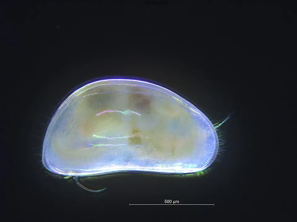
Other species
Candona candida
30 records © Markus Lindholm, Anders Hobæk, Norsk institutt for vannforskning · CC BY 3.0
Poland · Terrestrial
Landscape park of 6,338 hectares in Poland, established in 1976.
Landscape park of 6,338 hectares in Poland, established in 1976.
Suwałki Landscape Park is located in Poland (Europe). It is a predominantly terrestrial area. Established on 12 January 1976, it covers about 6,338 hectares.
Protected as a landscape park. International labels and designations: Natura 2000 network (1 site: “Ostoja Suwalska”). Key dates: established in 1976 and first Natura 2000 site under the Habitats Directive in 2008.
Sources: Wikidata (CC0) for establishment and international labels; EEA Natura 2000 database (CC-BY 4.0) for site designation dates.
In Poland (Europe). Representative point: 54.2500° N, 22.8500° E.
About 6,338 hectares (63 km²). It is the 103rd largest of the 121 landscape parks in Poland covered by Parkavela.
On 12 January 1976.
A terrestrial area, where land cover is dominated by farmland (64%).
According to the European 1:1 million geological map (EGDI), the bedrock consists mainly of sands and gravels (87% of sampled points) and glacial deposits (13%). These are mostly sedimentary rocks. The geological units date mainly from the Quaternary (100% of sampled points).
Góra Leszczynowa (272 m), Cisowa Góra (256 m), Potajemnica (251 m), Góry Jesionowskie (245 m) and Wielki Otrok (241 m) (OpenStreetMap).
Natura 2000 network (1 site: “Ostoja Suwalska”).
Yes. According to NASA's MODIS satellites (2015–2025 average), snow covers most of the site from December to February, with about 60 snow-covered days a year on average.
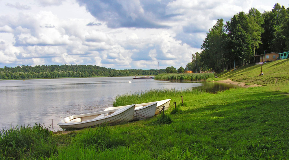
18 viewpoints and 18 lakes and ponds, including Punkt widokowy w Turtulu (231 m), Pogorzałek (236 m), Amfiteatr wodziłkowski and Jegłóweczek (186 m) (OpenStreetMap).
2 campsites, including W Dolince (OpenStreetMap).
Yes. According to Wikidata, 3 monuments listed in the Polish register of monuments stand within the boundary. For example: “Cmentarz rzym.-kat. w Smolnikach” in Smolniki, “Molenna staroobrzędowców w Wodziłkach” in Wodziłki and “Park dworski” in Stara Hańcza.
Nearest towns of over 50,000 people, as the crow flies: Suwałki (13 km) and Ełk (53 km). Nearest airport: Szczytno-Szymany (SZY), about 148 km away.
The nearest railway station is Suwałki, about 13 km from the site boundary.
Punkt Informacji Turystycznej.
Yes. Waymarked hiking routes listed in OpenStreetMap: 15, including E 11 (1 237 km), Krzywe, Rutka-Tartak and Malesowizna PKS. The “European long distance path E11 - part Poland” route runs for about 11 km through the site, with some 140 m of ascent on its longest section.
Among the species most often recorded on GBIF are Candona candida, Stellaria graminea (Common starwort), Anas platyrhynchos (Mallard) and Knautia arvensis (Field scabious).
© OpenStreetMap
Download the boundary: GeoJSON · GPX Boundary © OpenStreetMap contributors (ODbL).
According to the European 1:1 million geological map (EGDI), the bedrock consists mainly of sands and gravels (87% of sampled points) and glacial deposits (13%). These are mostly sedimentary rocks. The geological units date mainly from the Quaternary (100% of sampled points). The site contains 10 lakes larger than 10 ha, totalling 5.0 km² of water; the largest, Hańcza, covers 2.8 km² (HydroLAKES). Hańcza (311 ha) is 108.5 m deep (Wikidata).
Lakes: HydroLAKES (Messager et al. 2016, hydrosheds.org, CC BY 4.0) · depths: Wikidata (CC0)
Sedimentary rocks 100 % · Main age: Quaternary (100%)
Source: EGDI 1:1M geological map (EuroGeoSurveys and national geological surveys), CC BY 4.0 · 15 sampled points within the site.
Data © OpenStreetMap contributors (ODbL)
average share of the site under snow · snowiest parts · ≈ 60 days a year
Snow cover: MODIS/Terra MOD10CM v61 (Hall & Riggs, 2021, NASA NSIDC DAAC, doi:10.5067/MODIS/MOD10CM.061), imagery from NASA GIBS (ESDIS); 2015–2025 average, grid of about 5 km.
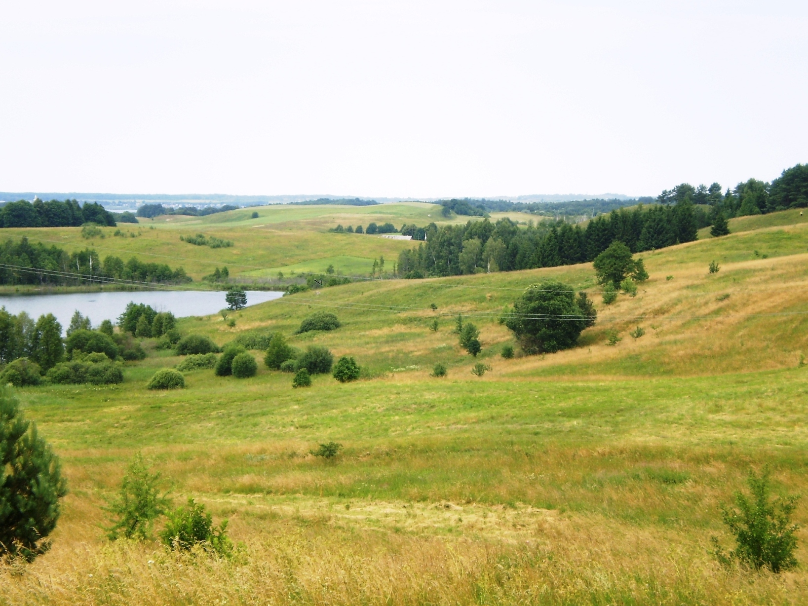
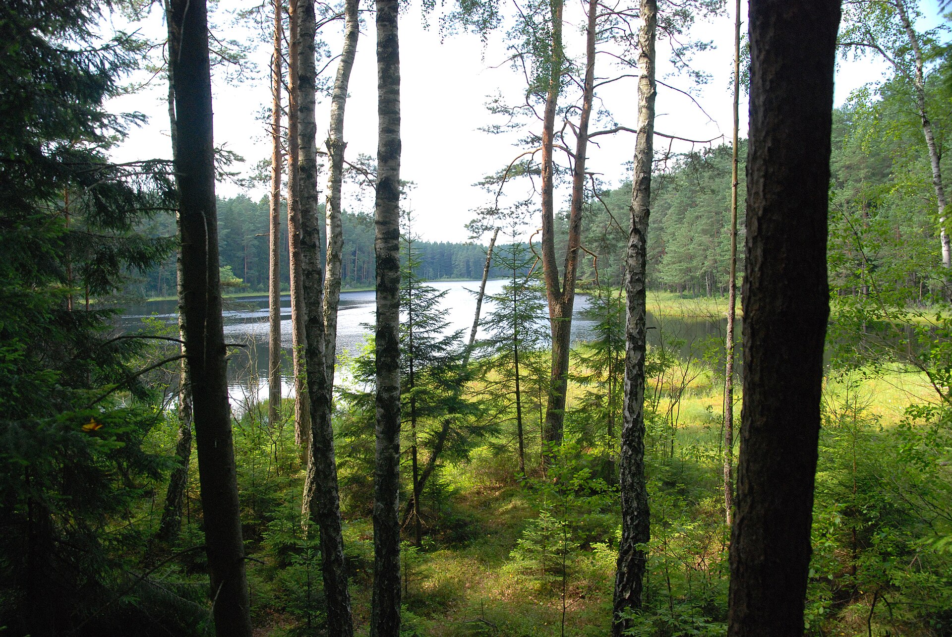
According to CORINE Land Cover (2018), the site is mainly made up of farmland (64%), forests (23%) and lakes and rivers (9%). Woodland mixes broadleaved and coniferous trees. Elevation ranges from about 150 to 270 m (sampled elevations, SRTM). The Natura 2000 site overlapping the area lists 13 habitats of European interest (4 priority), the most extensive being hard oligo-mesotrophic waters with benthic vegetation of Chara spp, semi-natural dry grasslands and scrubland facies on calcareous substrates (Festuco-Brometalia) (* important orchid sites) and lowland hay meadows (Alopecurus pratensis, Sanguisorba officinalis).
Based on occurrences aggregated by GBIF, several species are regularly recorded within the site. Among the most frequent are Candona candida, Stellaria graminea (Common starwort), Anas platyrhynchos (Mallard) and Knautia arvensis (Field scabious). The full list of documented taxa is shown below. The overlapping Natura 2000 site lists 14 species of European interest: 4 mammals, 2 amphibians, 3 fish, 3 invertebrates and 2 plants.
From the official form of the Natura 2000 site overlapping the area (areas reported for the whole site).
and 5 more
Barbastelle (Barbastella barbastellus), Eurasian Beaver (Castor fiber), Eurasian otter (Lutra lutra), Pond bat (Myotis dasycneme)
European fire-bellied toad (Bombina bombina), Great crested newt (Triturus cristatus)
Spined loach (Cobitis taenia), European bullhead (Cottus gobio), Ukrainian brook lamprey (Eudontomyzon mariae)
Large copper (Lycaena dispar), Violet Copper (Lycaena helle), Thick shelled river mussel (Unio crassus)
Hairy agrimony (Agrimonia pilosa), Fen orchid (Liparis loeselii)
Source: Natura 2000 standard data forms (EEA, CC-BY 4.0). Not exhaustive: sensitive species are not published.
Other species
30 records © Markus Lindholm, Anders Hobæk, Norsk institutt for vannforskning · CC BY 3.0
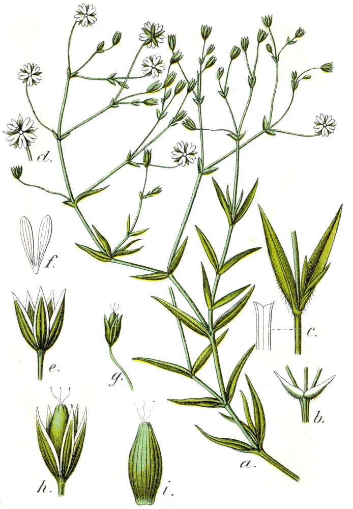
Plant
12 records © Johann Georg Sturm, Painted by Jacob Sturm; published by Kurt Stüber · Public domain

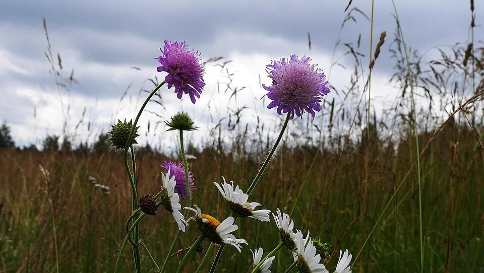
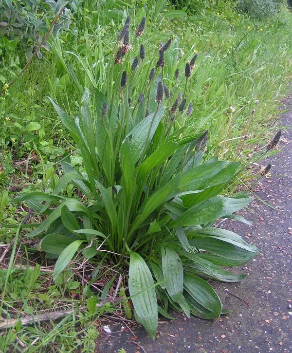

Occurrences documented via GBIF; they are neither an exhaustive inventory nor proof of current presence.
Records: GBIF.org (CC-BY). Names: Wikidata (CC0), GBIF. Photos: Wikimedia Commons.
The primary purpose of the site is to preserve its natural habitats and the biodiversity they support. The species recorded (Biodiversity tab) reflect its ecological value. The designations it holds frame its management and the control of land use.
According to Global Forest Change data (University of Maryland, Global Forest Watch), about 133 ha of tree cover were lost within the boundary between 2001 and 2023 (2% of its area), peaking in 2017 and 2022. These losses include logging, storms and fires, and do not account for regrowth. According to CORINE Land Cover, land cover here remained almost unchanged between 1990 and 2018 (less than 0.5% of the area affected). At night, the area gives off virtually no artificial light detectable from space (NASA VIIRS Black Marble composite, 2016). According to the Natura 2000 forms, of 8 assessed habitats of European interest, 1 is in excellent condition and 2 in average or reduced condition. According to the Water Framework Directive assessment (2022 river basin management plans, data 2014–2019), both rivers assessed within the site have moderate ecological status. Other assessed water bodies: lakes, 1 of 2 in good ecological status or better. One invasive alien species has been recorded within the site since 2000 (GBIF observations), listed as of Union concern: Impatiens glandulifera (Himalayan Balsam).
133 ha
2001–2023 · 2% of the area
0
No large fire mapped (fires over about 30 ha)
0%
of the area gives off artificial light visible from space
< 0.5%
of the area changed, 1990–2018 · CORINE
0%
of the 31 km of assessed rivers in good or high ecological status · WFD 2022
Lakes: 1 of 2 good or better
assessments 2014–2019
1
incl. 1 of EU concern · since 2000
Sources: Global Forest Change (Hansen et al., University of Maryland, via Global Forest Watch, CC-BY 4.0); EFFIS, European Commission / Copernicus; NASA Black Marble 2016 (public domain); CORINE Land Cover 2018 (Copernicus) or MODIS.
CORINE Land Cover Change 1990–2018: generated using European Union's Copernicus Land Monitoring Service information (EEA), aggregated by Parkavela; DOI 10.2909/f30f1000-7cf8-43bb-872c-5eb093911b24.
Ecological status of water bodies: European Environment Agency, WISE – Water Framework Directive, 3rd river basin management plans (2022), CC BY 4.0. Official national classification, not comparable between countries.
Invasive alien species: Global Register of Introduced and Invasive Species (ISSG, CC BY 4.0); Union list, Regulation (EU) 1143/2014 (INBO, CC0); GBIF.org records (CC0 / CC BY 4.0), at least 2 per species.
18 viewpoints · 18 lakes and ponds
15 waymarked routes listed, including:
Signed cycle routes: this does not mean that cycling is allowed on footpaths.
Data © OpenStreetMap contributors (ODbL) · Wikidata (CC0)
Routes © OpenStreetMap contributors (ODbL), via Waymarked Trails
11.2 km within the site ↗ 144 m↘ 108 m 156–253 m
Tracks © OpenStreetMap contributors (ODbL), clipped to the boundary; elevation gain and profiles computed on the longest section from Mapzen Terrain Tiles (≈ 30 m), indicative only.
The nearest railway station is Suwałki, about 13 km from the site boundary. Nearest towns of over 50,000 people, as the crow flies: Suwałki (13 km) and Ełk (53 km). Nearest airport: Szczytno-Szymany (SZY), about 148 km away. About 110,000 people live within 20 km of the site boundary, 17,000 of them within 10 km; some 1,000 people are estimated to live inside (GHSL estimate, 2020). This population has grown by about 11% since 2000. Visitor information on site: Punkt Informacji Turystycznej. Waymarked hiking routes listed in OpenStreetMap: 15, including E 11 (1 237 km), Krzywe, Rutka-Tartak and Malesowizna PKS. The site is crossed by 2 signed cycle routes: “GV Green Velo - East of Poland Cycling Trail” and “PSB Podlaskie White Stork Trail” (OpenStreetMap). To see: 18 viewpoints and 18 lakes and ponds, including Punkt widokowy w Turtulu (231 m), Pogorzałek (236 m), Amfiteatr wodziłkowski and Jegłóweczek (186 m). Where to stay: 2 campsites, including W Dolince. To plan a visit (access, opening periods, visitor rules), it is best to consult the official information from the managing body and the official website listed in this page's sources.
Source: OpenStreetMap (ODbL), Wikidata (CC0), October 2026.
According to Wikidata, 3 monuments listed in the Polish register of monuments stand within the boundary. Examples include “Cmentarz rzym.-kat. w Smolnikach” in Smolniki, “Molenna staroobrzędowców w Wodziłkach” in Wodziłki and “Park dworski” in Stara Hańcza.
Source: Wikidata (CC0), monuments in each country’s official heritage protection registers, at national or regional level. Each item links to its Wikidata entry.
According to NASA's MODIS satellites (2015–2025 average), snow covers most of the site from December to February, with about 60 snow-covered days a year on average.
Monthly records published on GBIF (CC-BY), relative to the busiest month; also reflects observer activity.
Data © OpenStreetMap contributors (ODbL), Wikidata (CC0) and the sources cited.